Downloaded 39 times
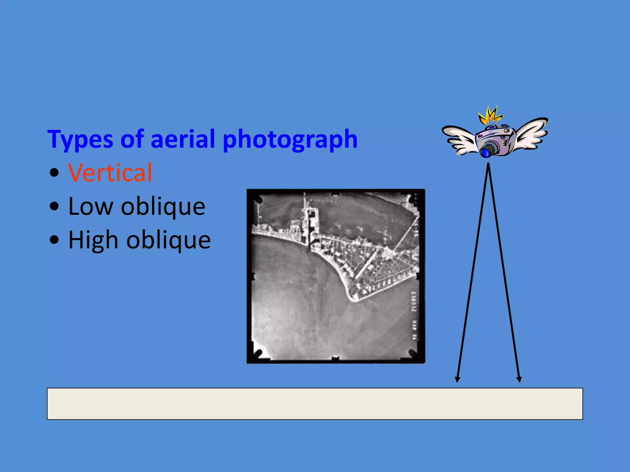
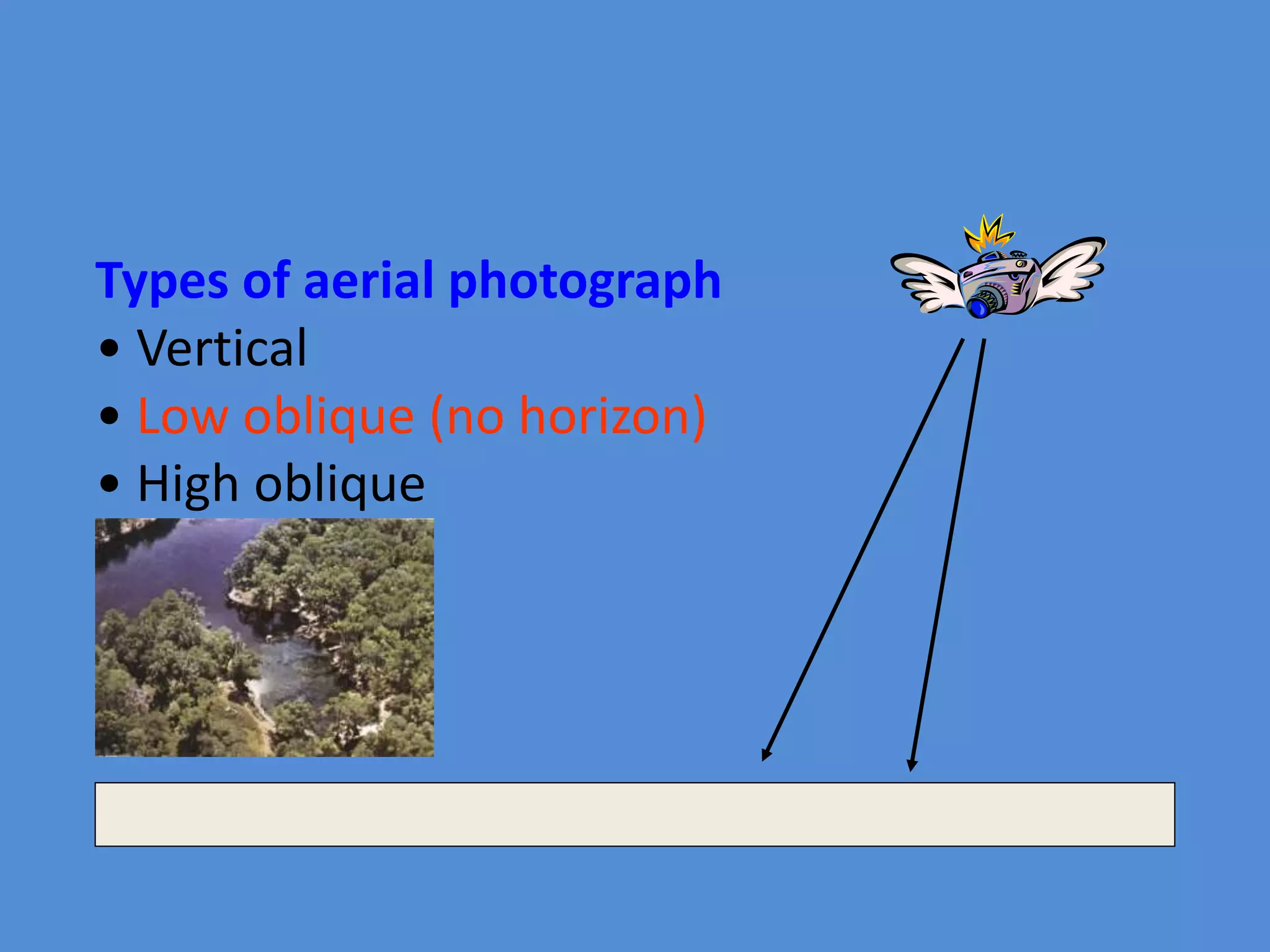
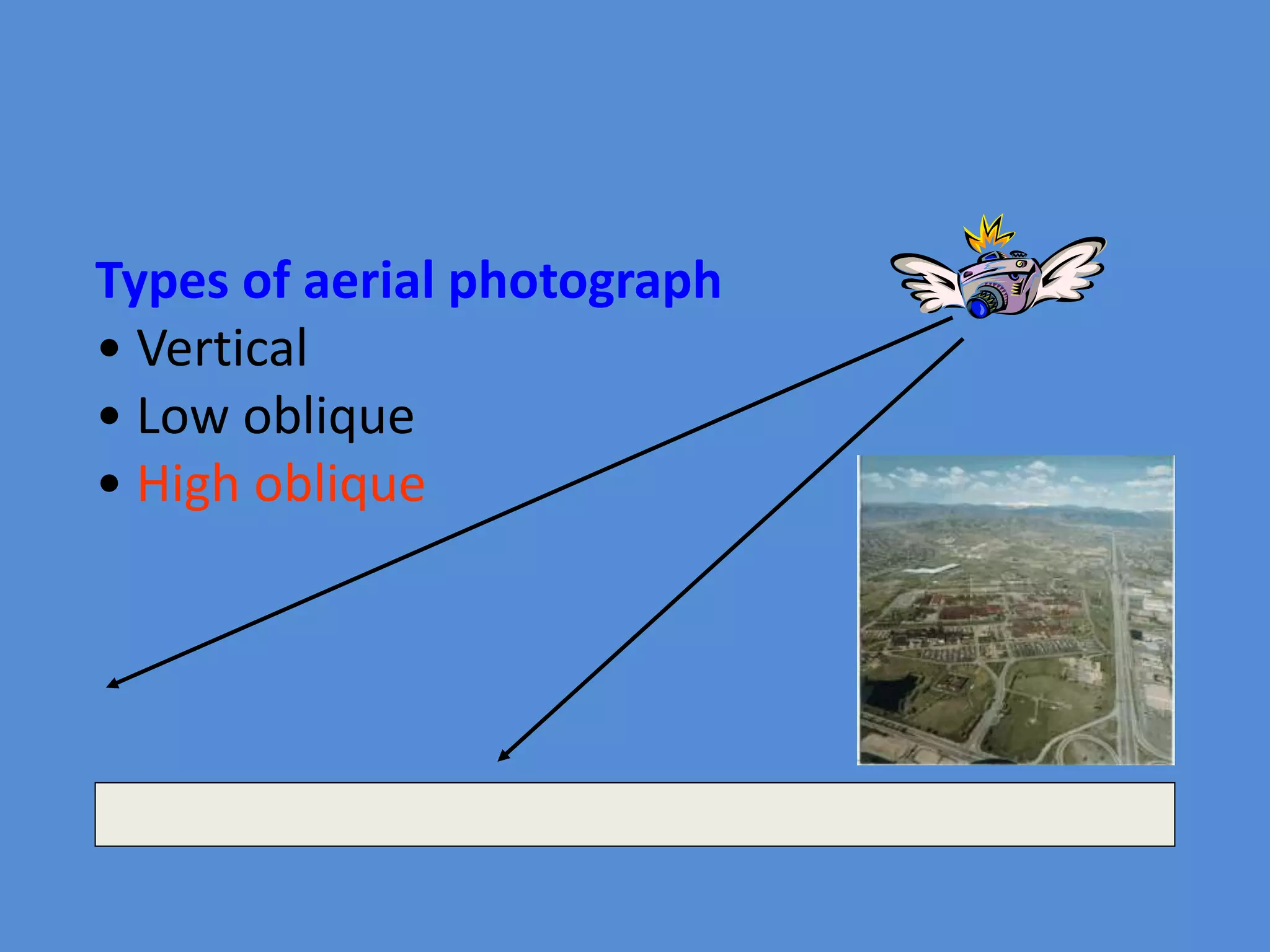
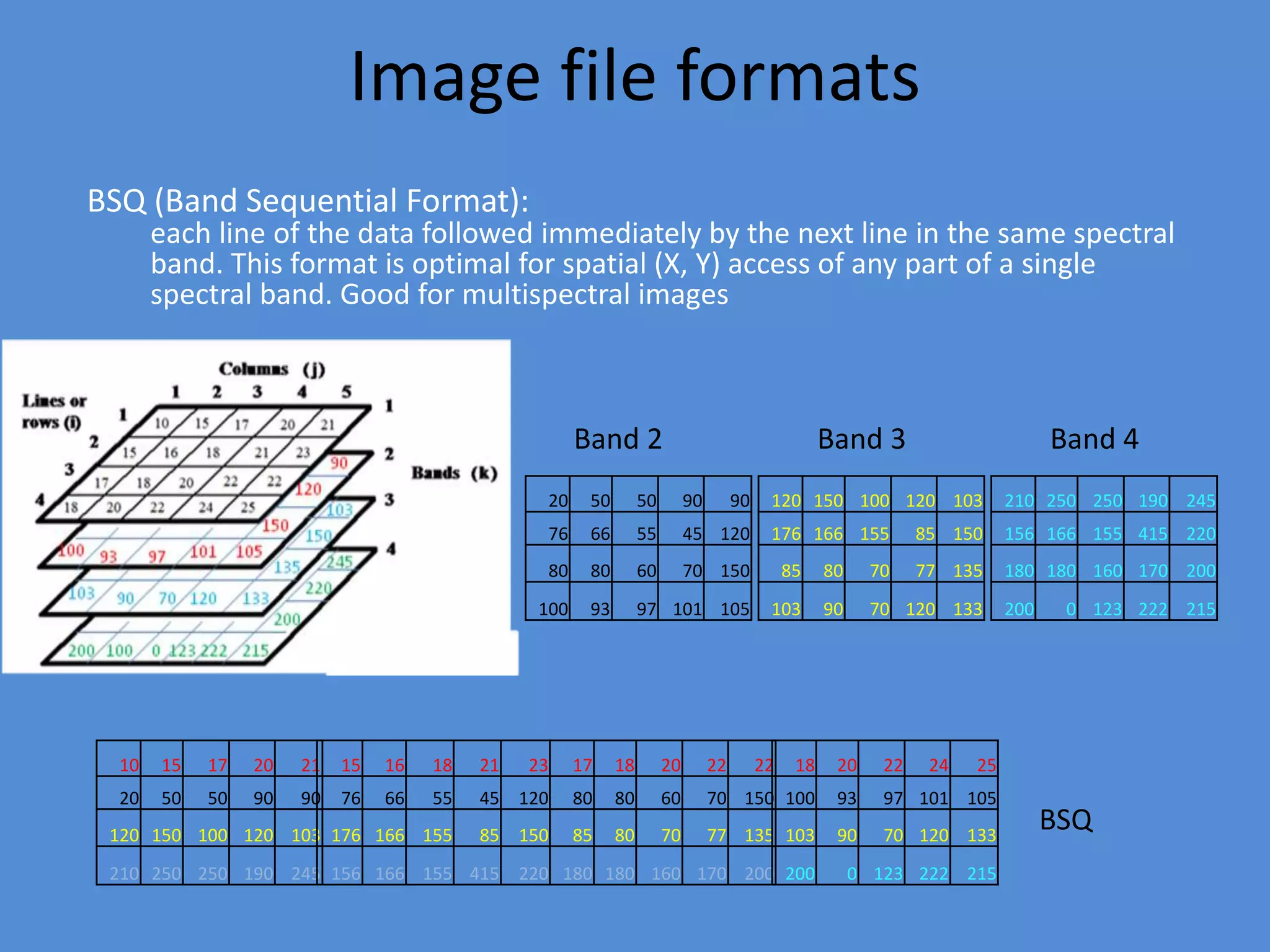
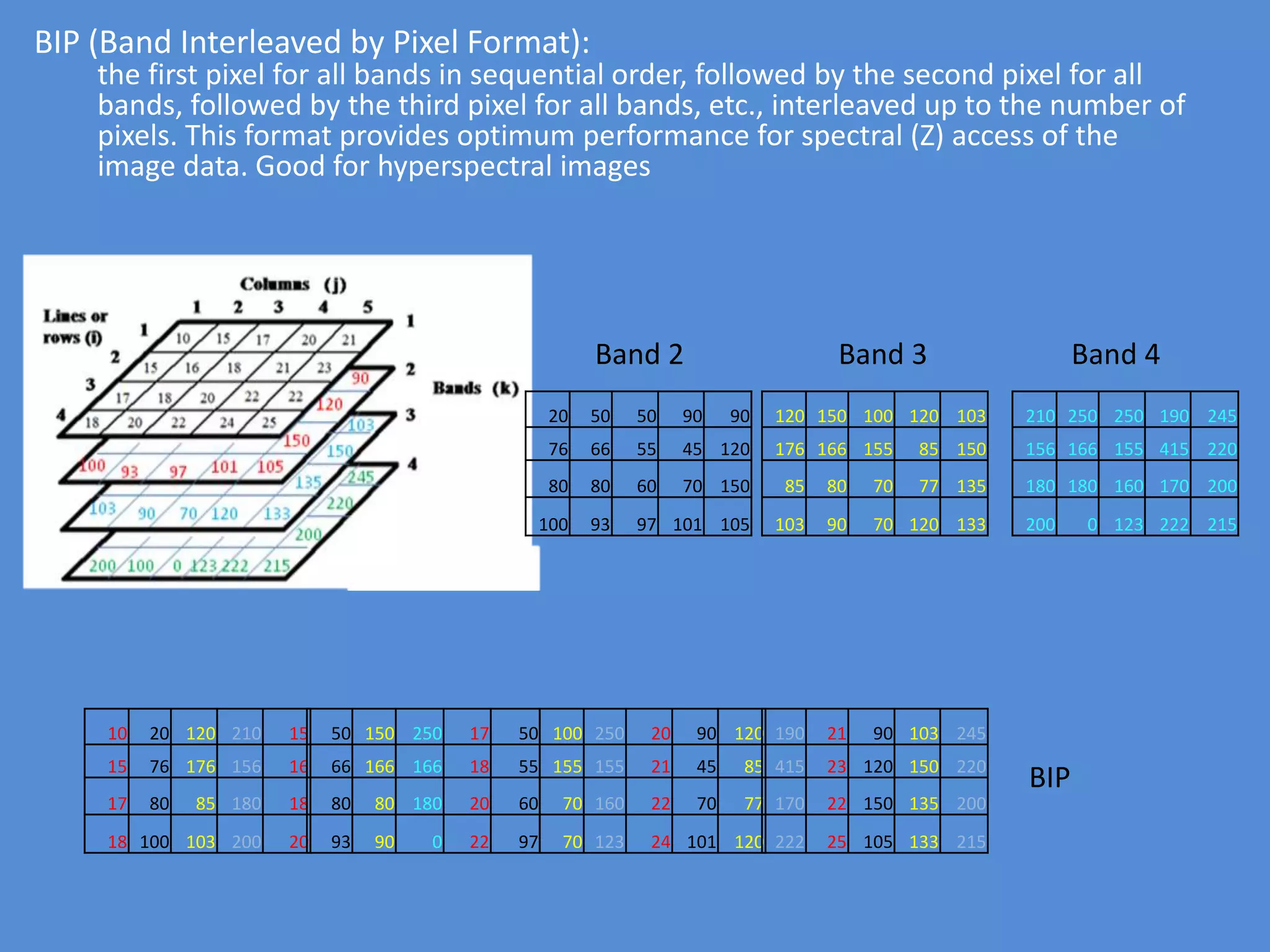
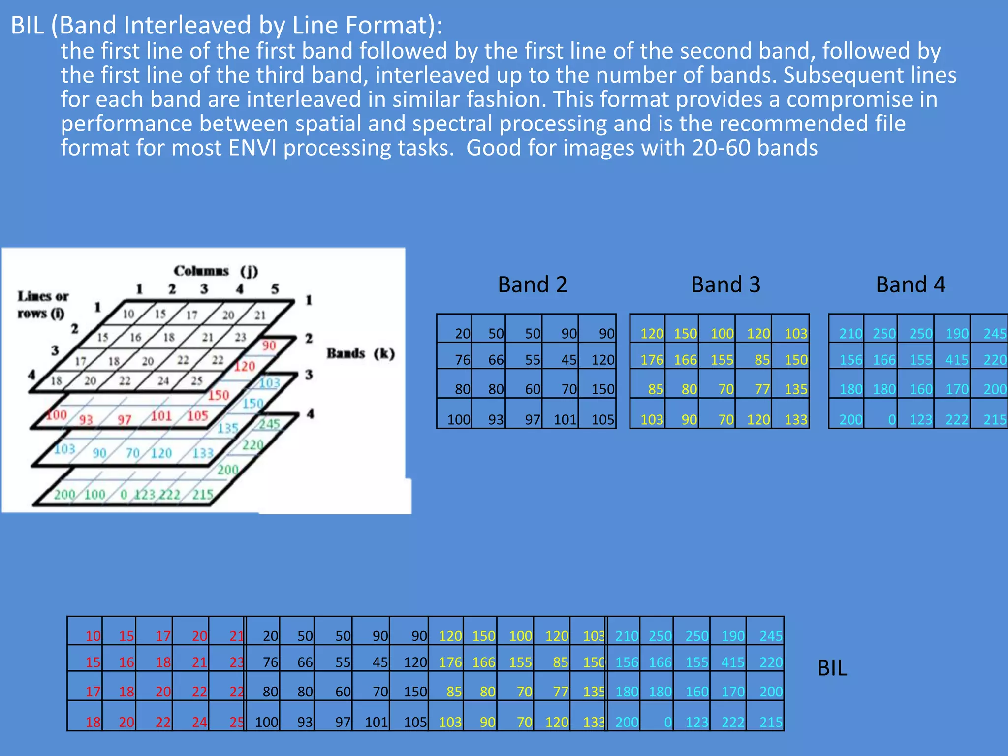
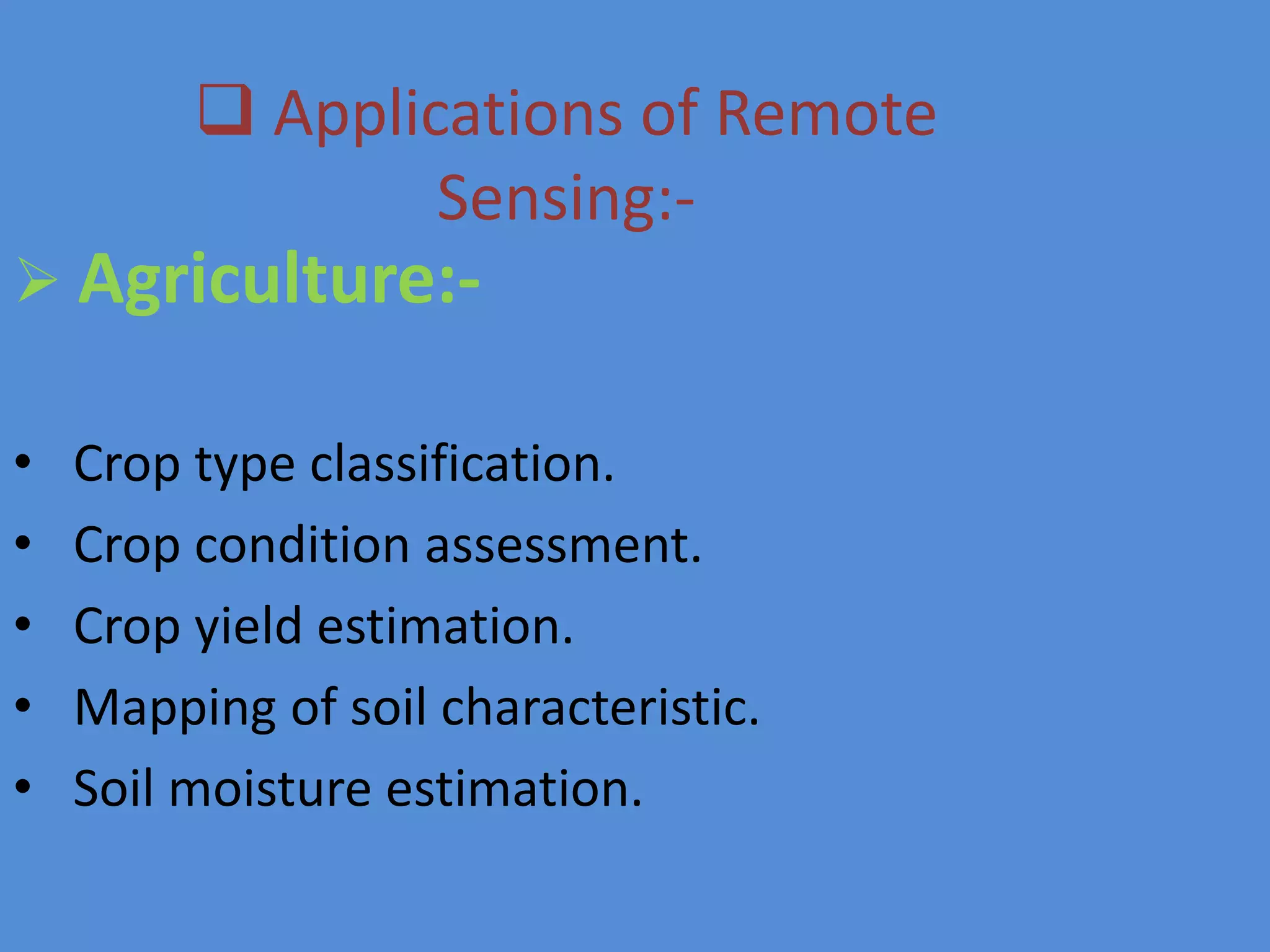
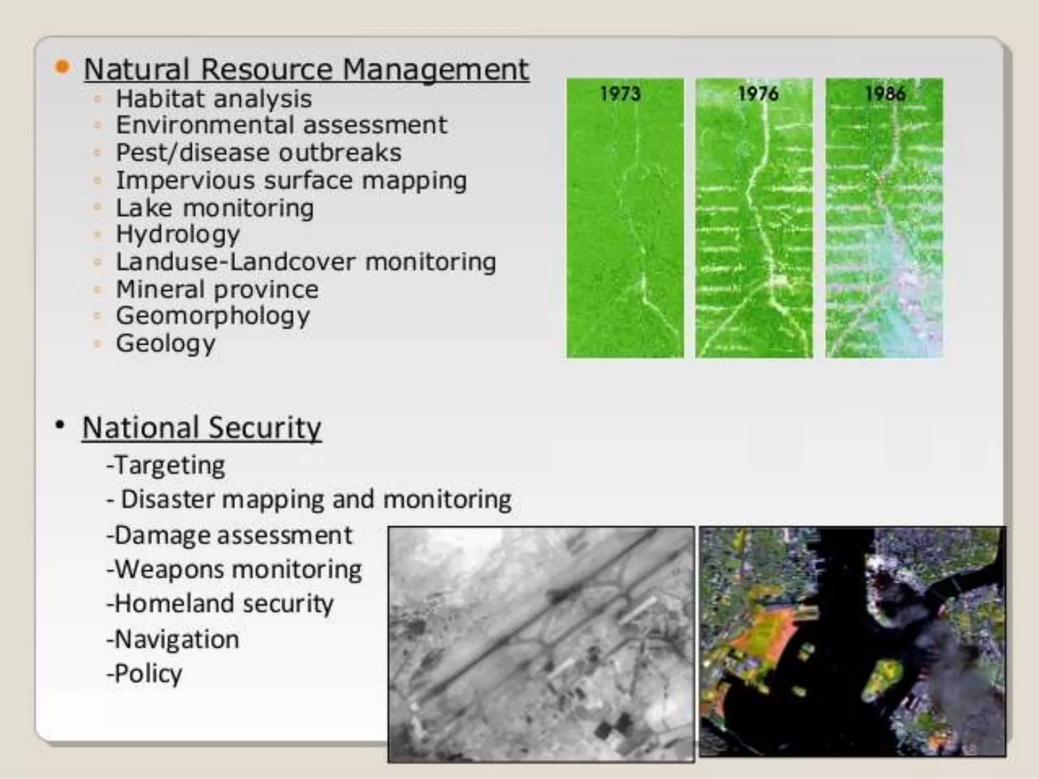

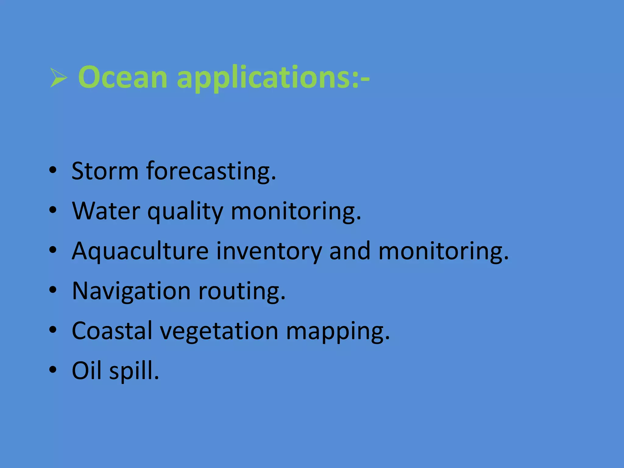
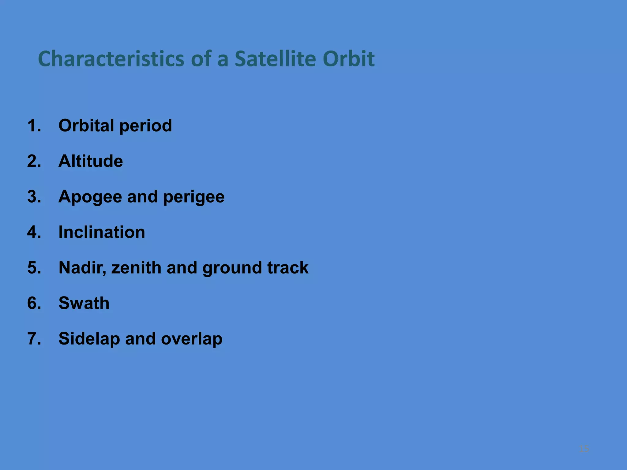
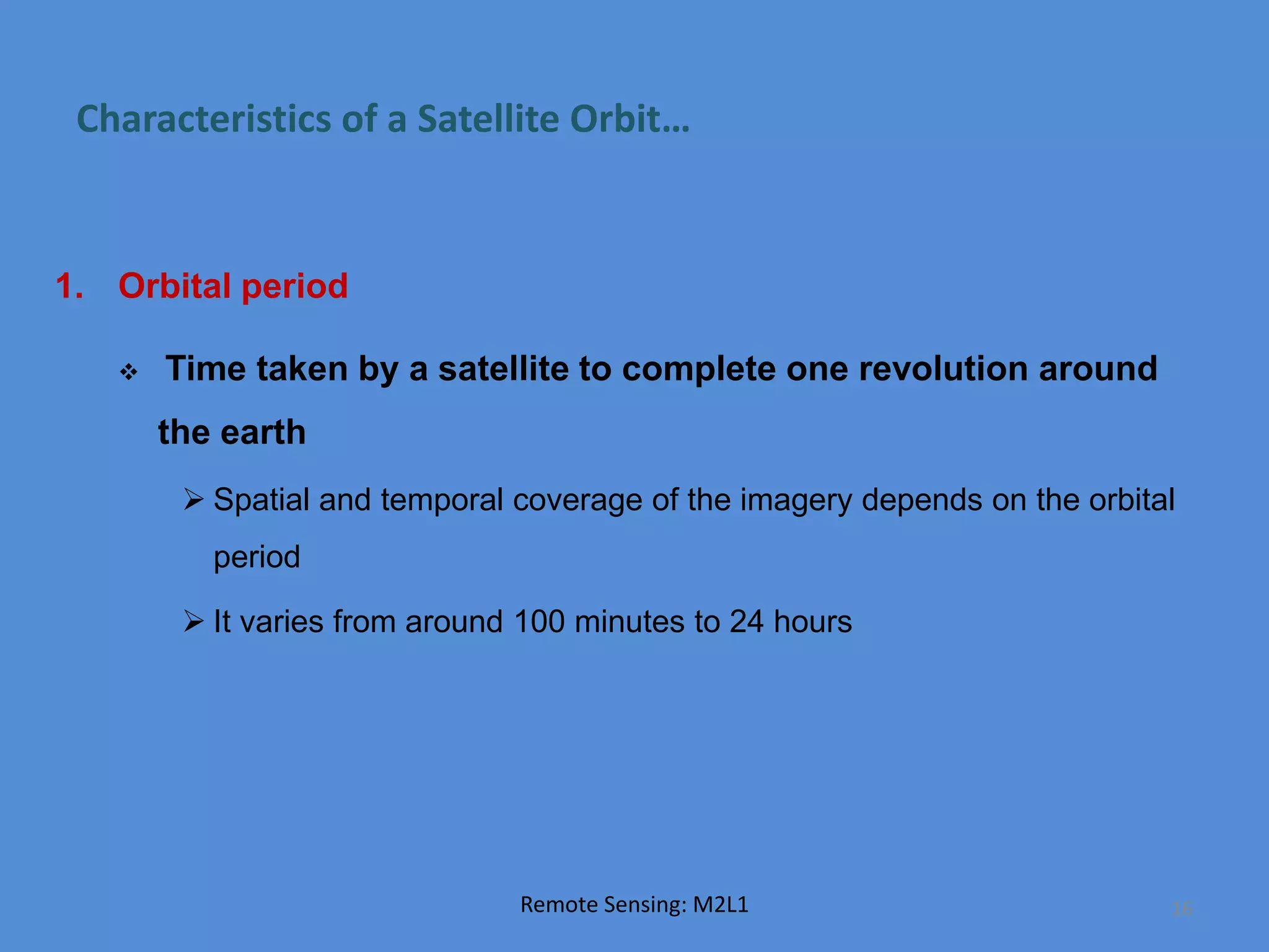
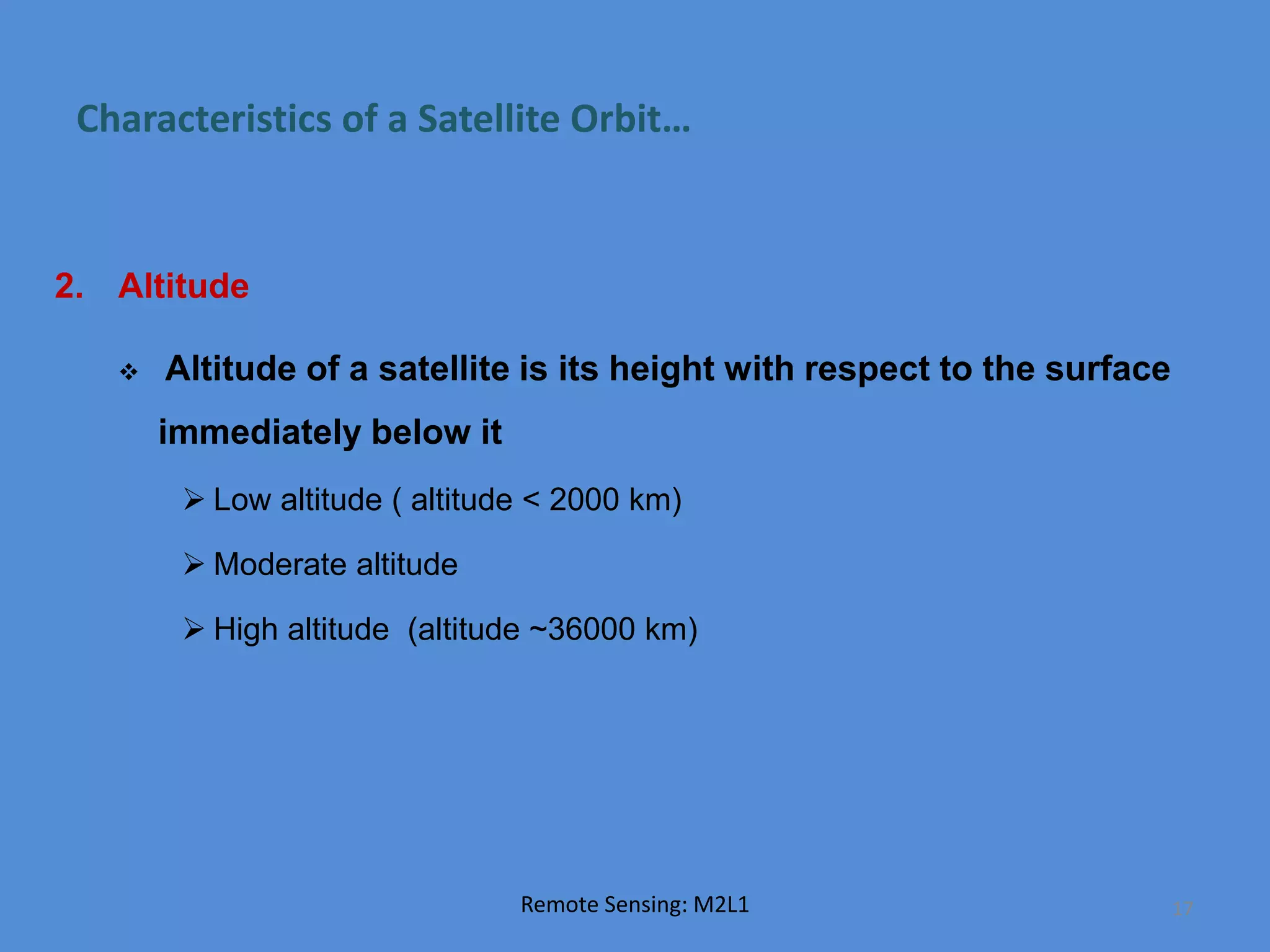
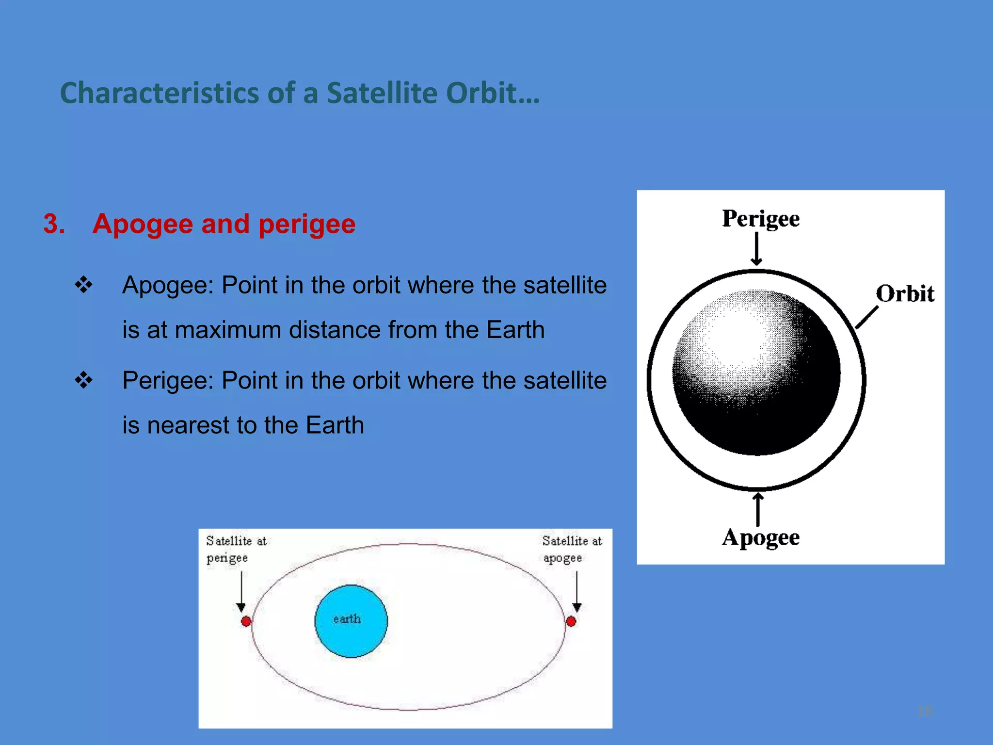
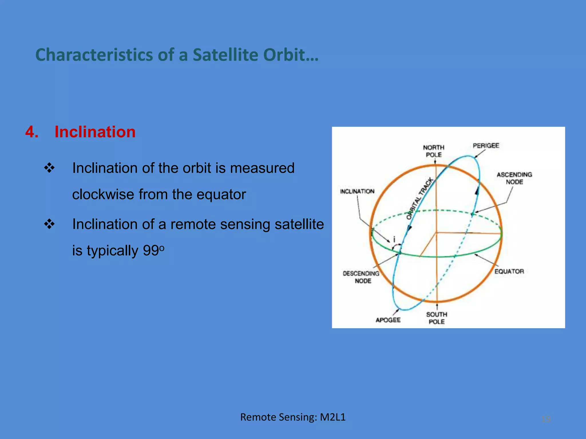
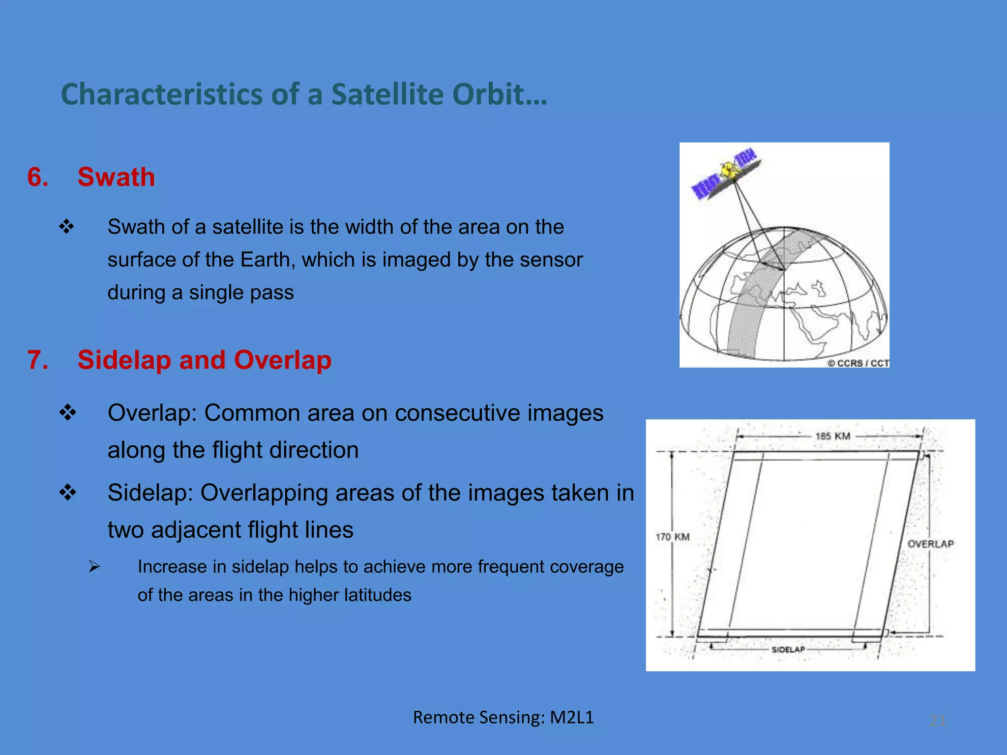


The document outlines various types of aerial photographs, including vertical, low oblique, and high oblique, as well as image file formats like BSQ, BIP, and BIL, explaining their specific applications in remote sensing. It discusses the applications of remote sensing in fields such as agriculture, geology, urban planning, hydrology, land use mapping, forestry, and ocean studies. Additionally, it describes characteristics of satellite orbits, including orbital period, altitude, apogee and perigee, inclination, nadir, zenith, ground track, swath, sidelap, and overlap.


![Seller Deck - Presentation [Concert L2].PPTX](https://cdn.slidesharecdn.com/ss_thumbnails/sellerdeck-presentationconcertl2-251219171156-24982daf-thumbnail.jpg?width=640&height=640&fit=bounds)


