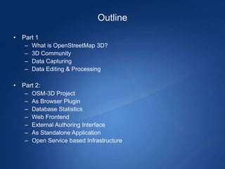
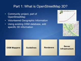
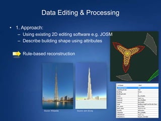
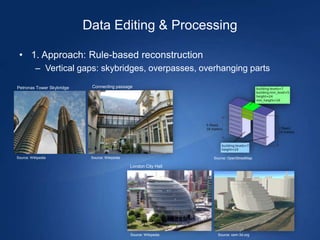
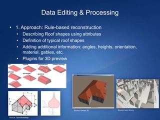
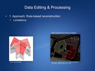
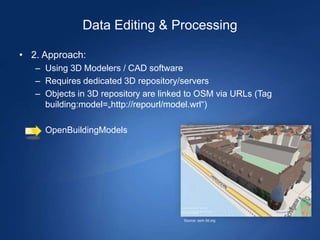
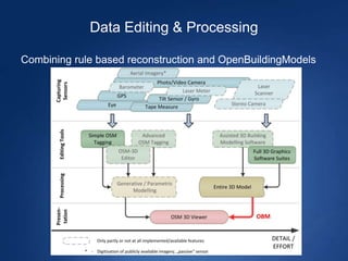
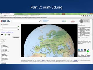
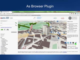
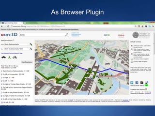
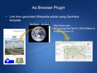
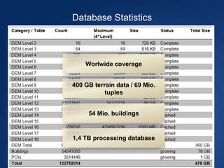

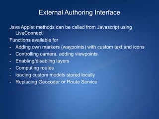
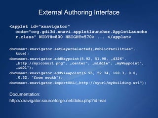
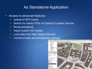
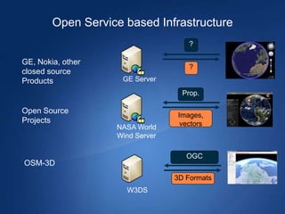
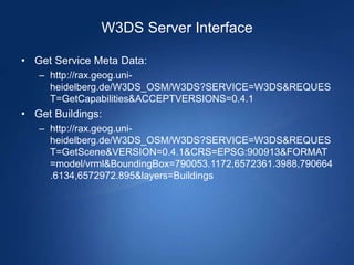
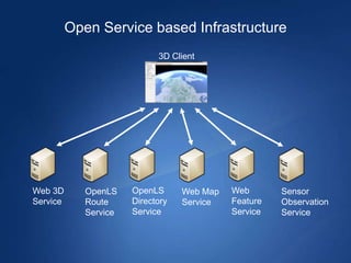

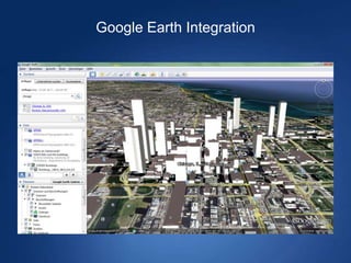


The document discusses the developments of OpenStreetMap in 3D, highlighting the community-driven project that utilizes volunteered geographic information and existing data for 3D modeling. It outlines various approaches to data capturing, editing, and processing, as well as the functionalities of the osm-3d.org platform, which serves as both a browser plugin and a standalone application. Lastly, the document emphasizes the flexibility of its architecture for wider applications beyond just OpenStreetMap.


![Getting Started with Apache Spark: Big Data Made Simple [Free Meetup]](https://cdn.slidesharecdn.com/ss_thumbnails/apachesparkgettingstarted-260203175547-8361bcc3-thumbnail.jpg?width=640&height=640&fit=bounds)


