Downloaded 1,125 times

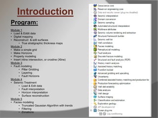

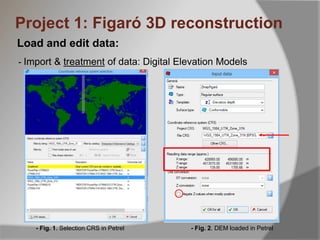
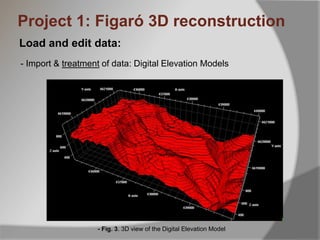

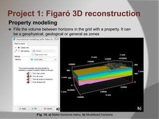

This document outlines an introduction course to Petrel software. It covers 5 modules: 1) Loading and editing data, 2) Digital mapping, 3) Surface reconstruction and editing, 4) Fault modeling, and 5) Facies modeling. The course will teach important Petrel functions like surface reconstruction, property modeling between horizons, and making grids and horizons. It provides examples of specific tasks like importing elevation data, draping maps, digitizing polygons for mapping, and modeling zones between reconstructed surfaces.


