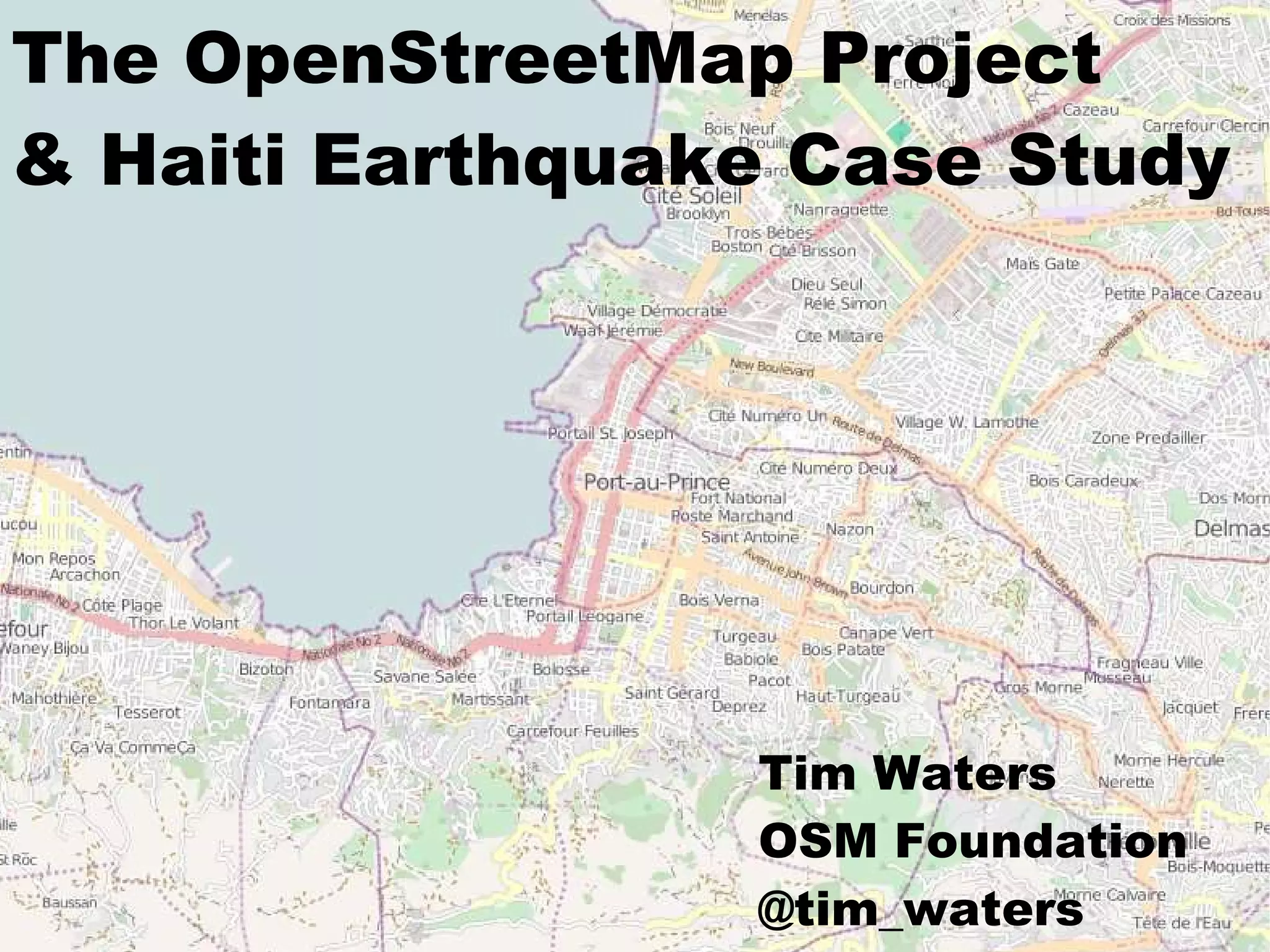
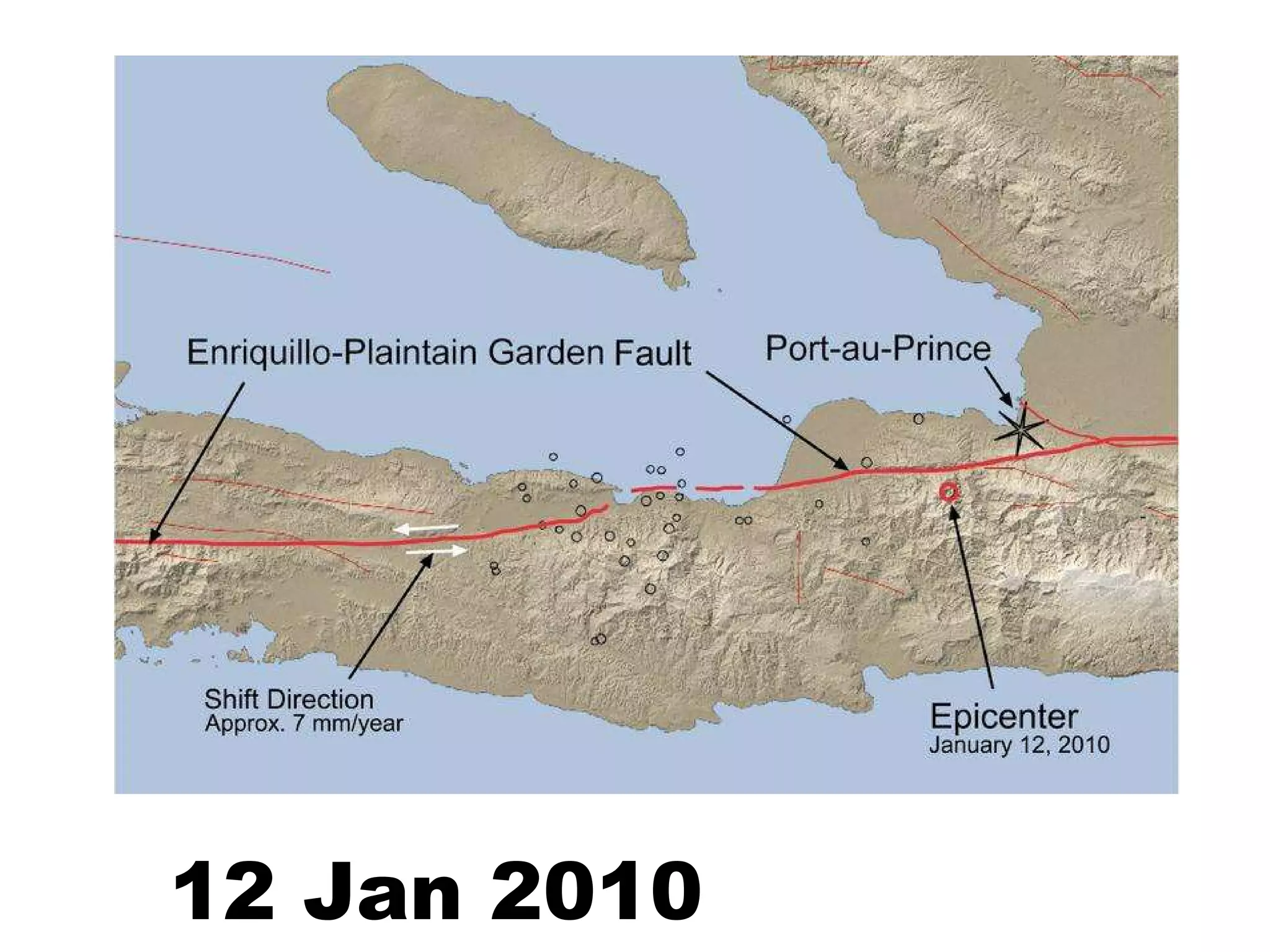
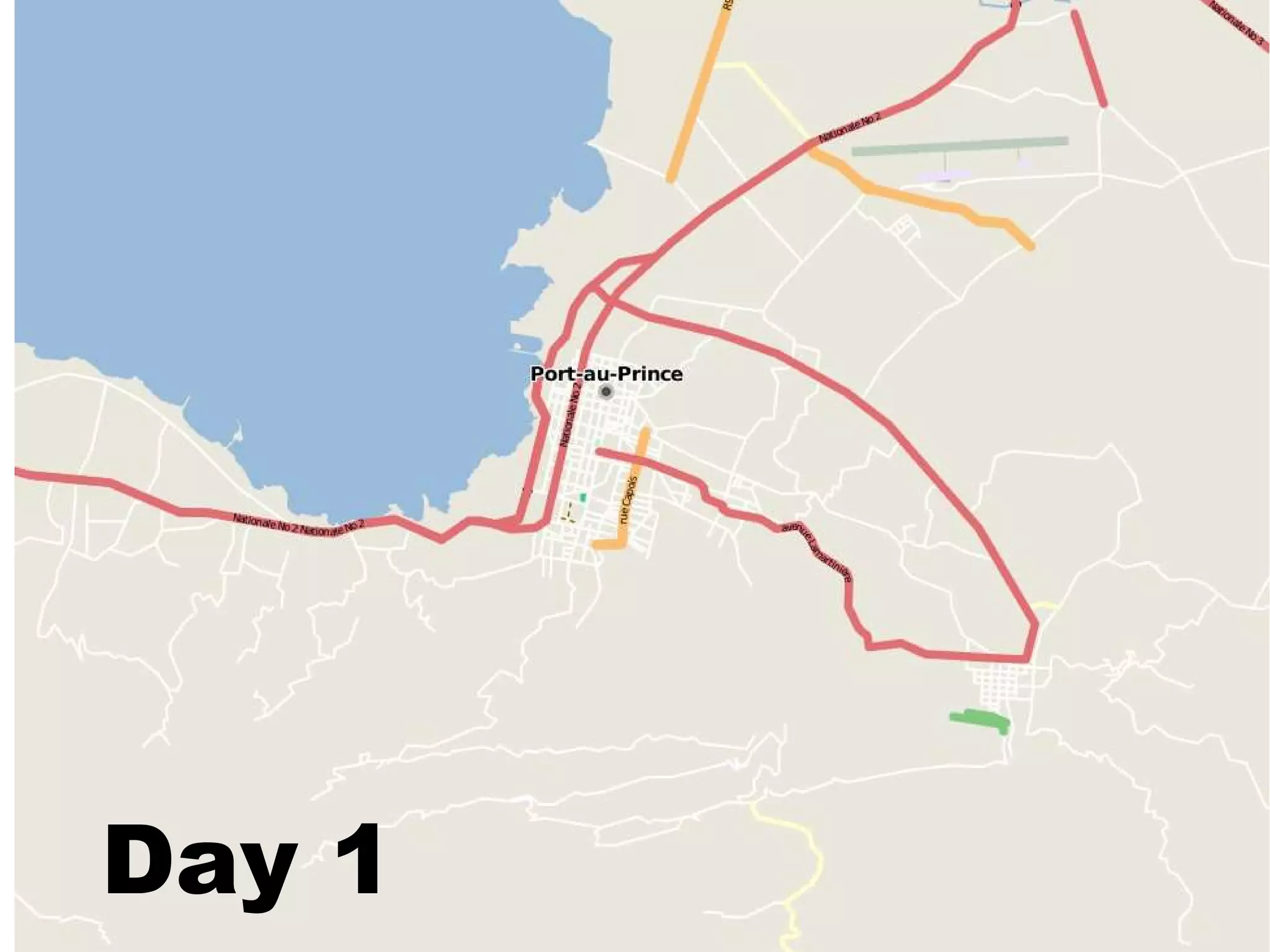
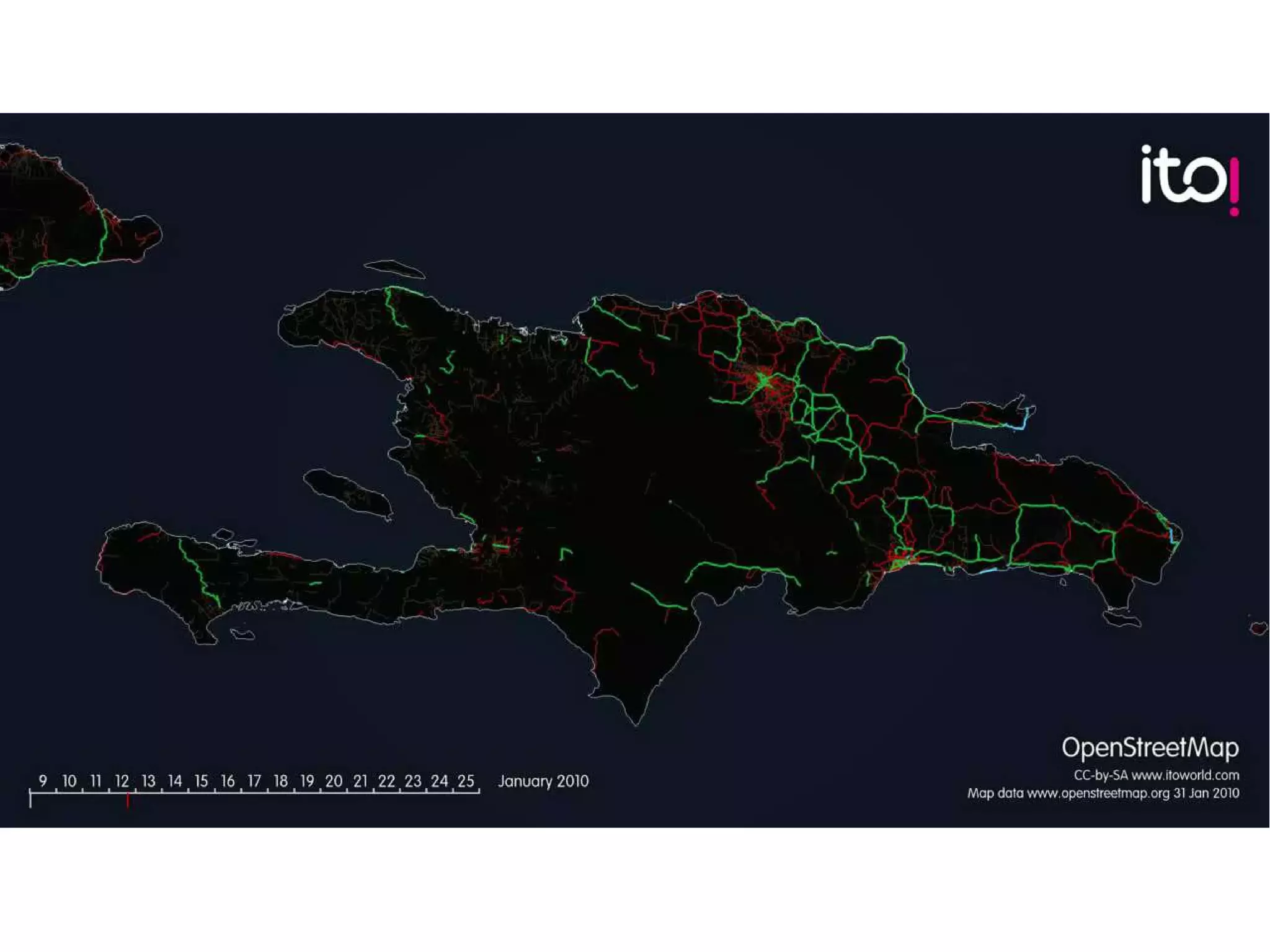
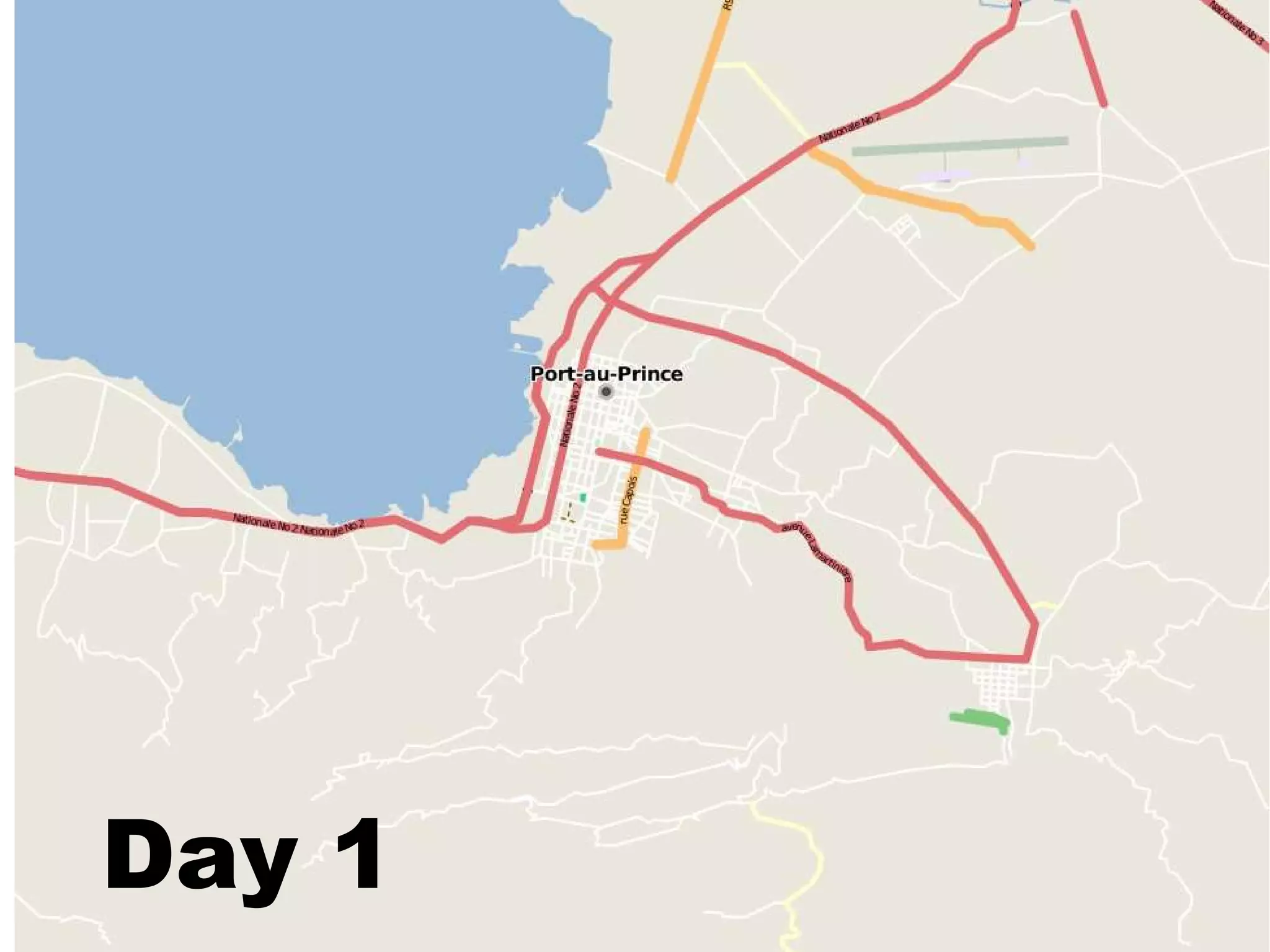
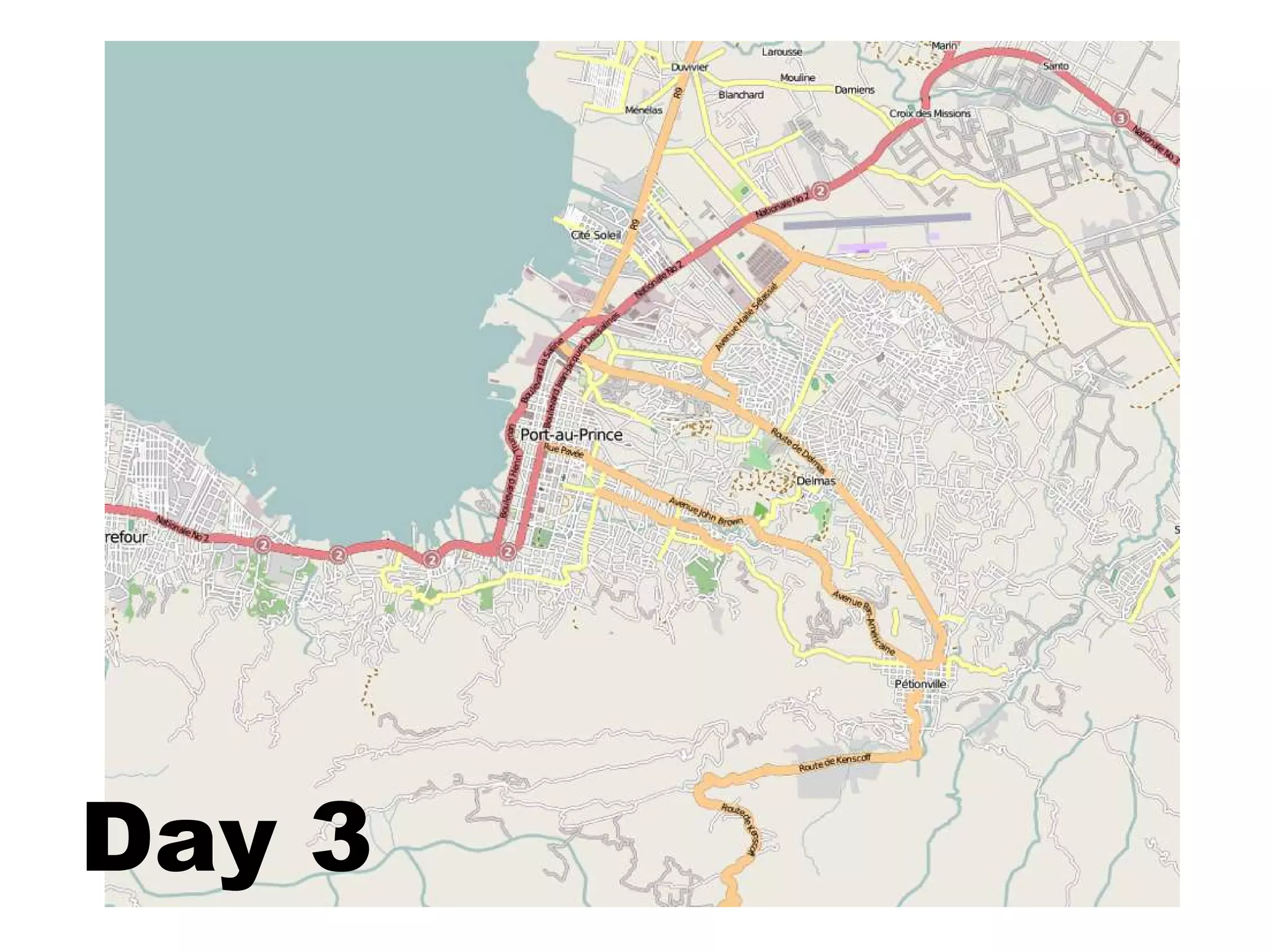
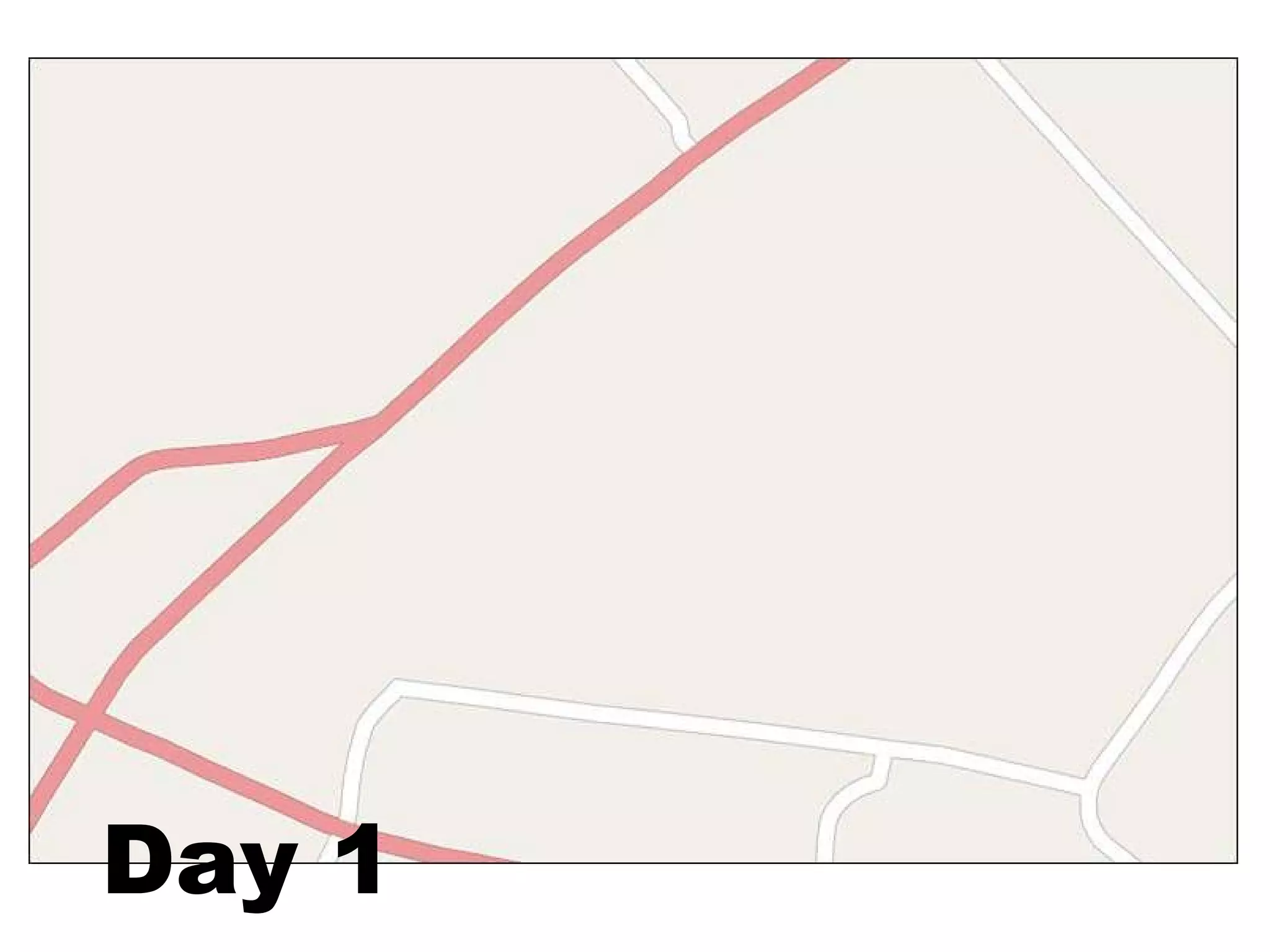
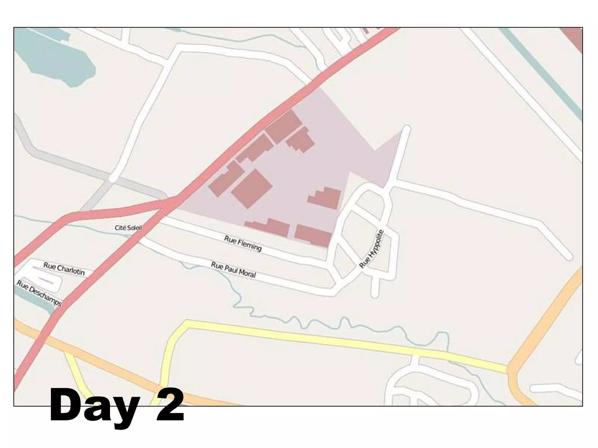
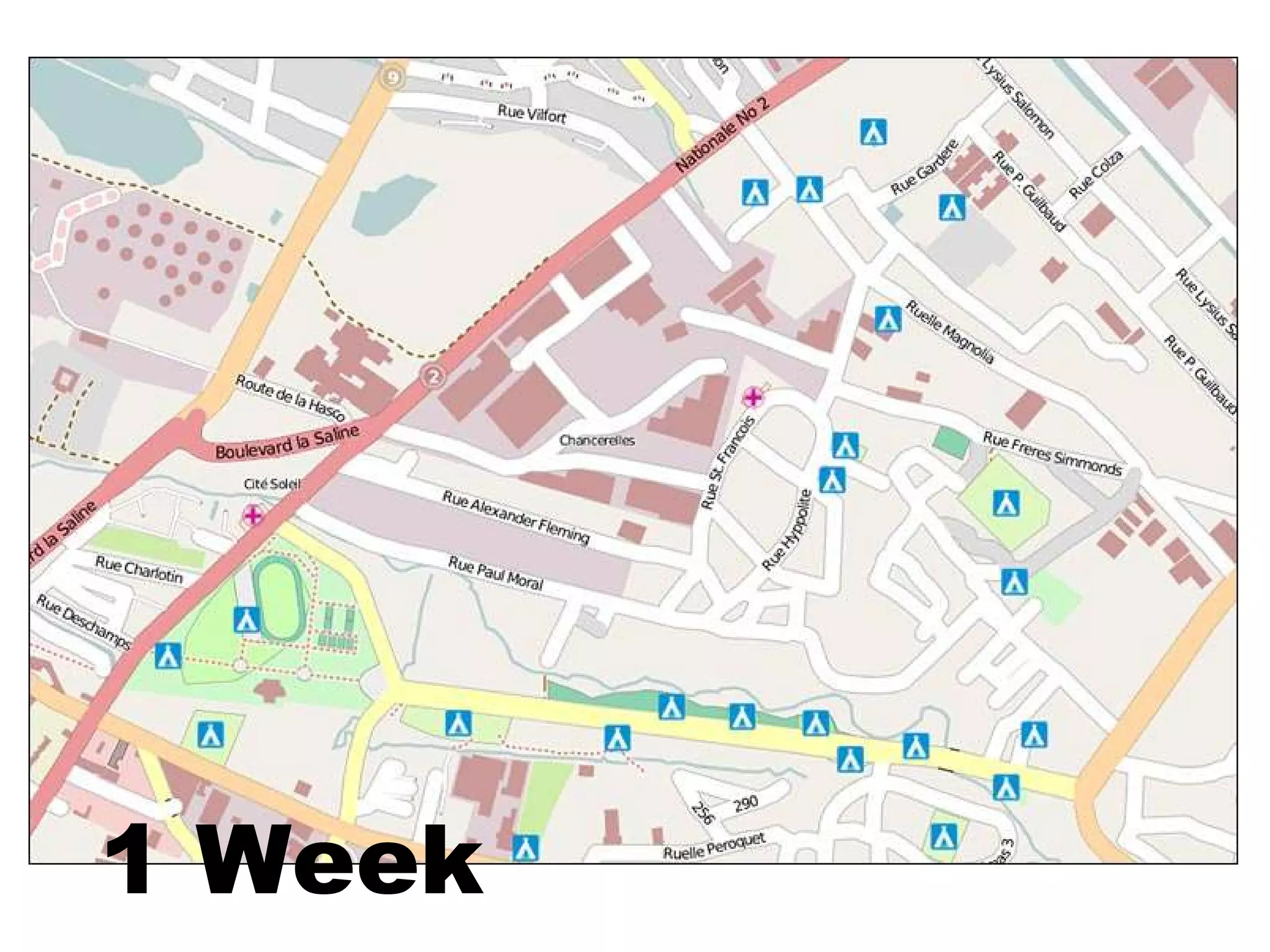
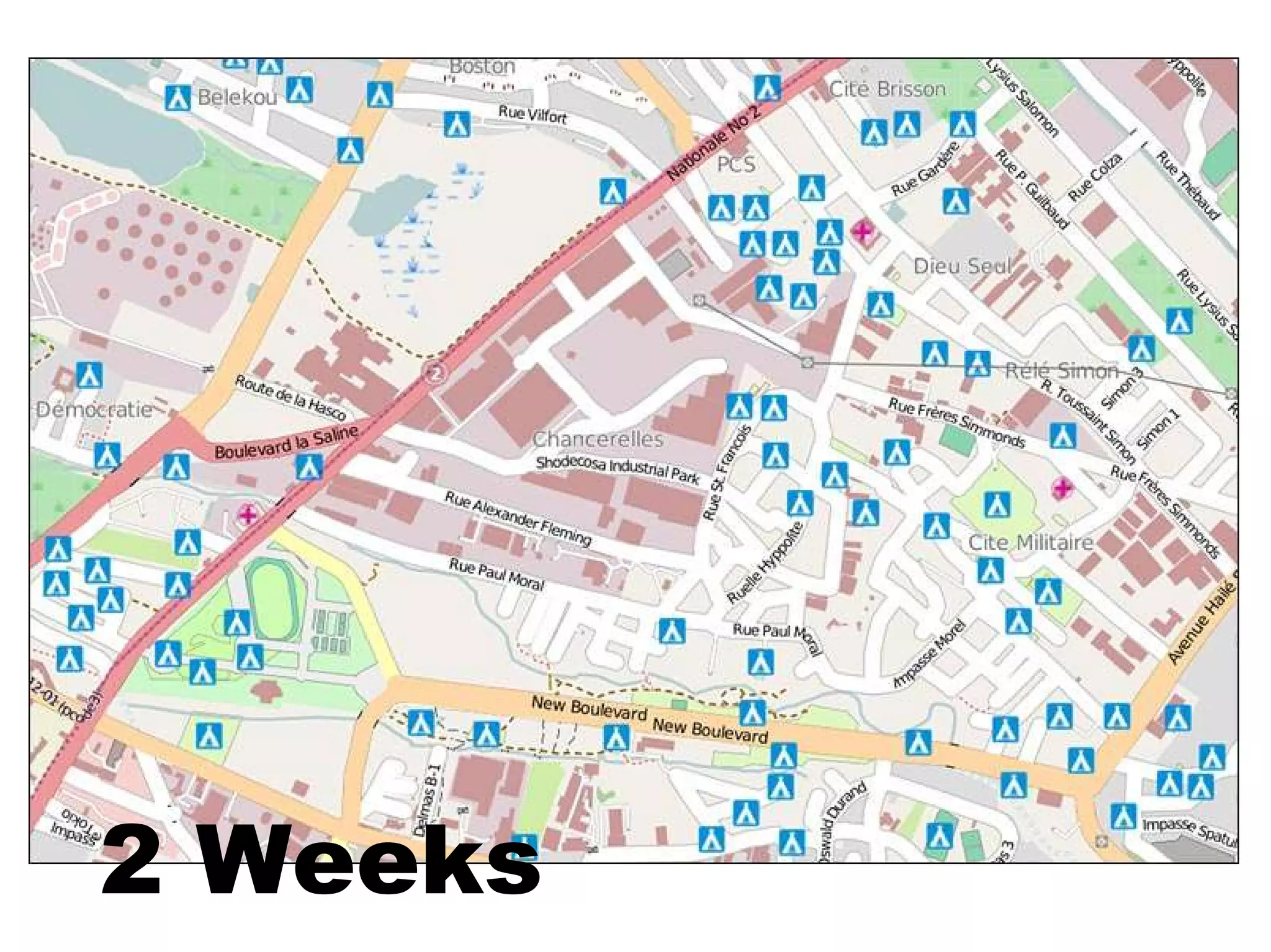
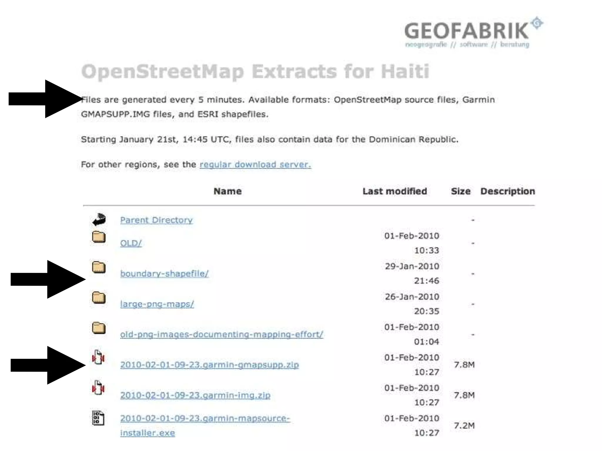
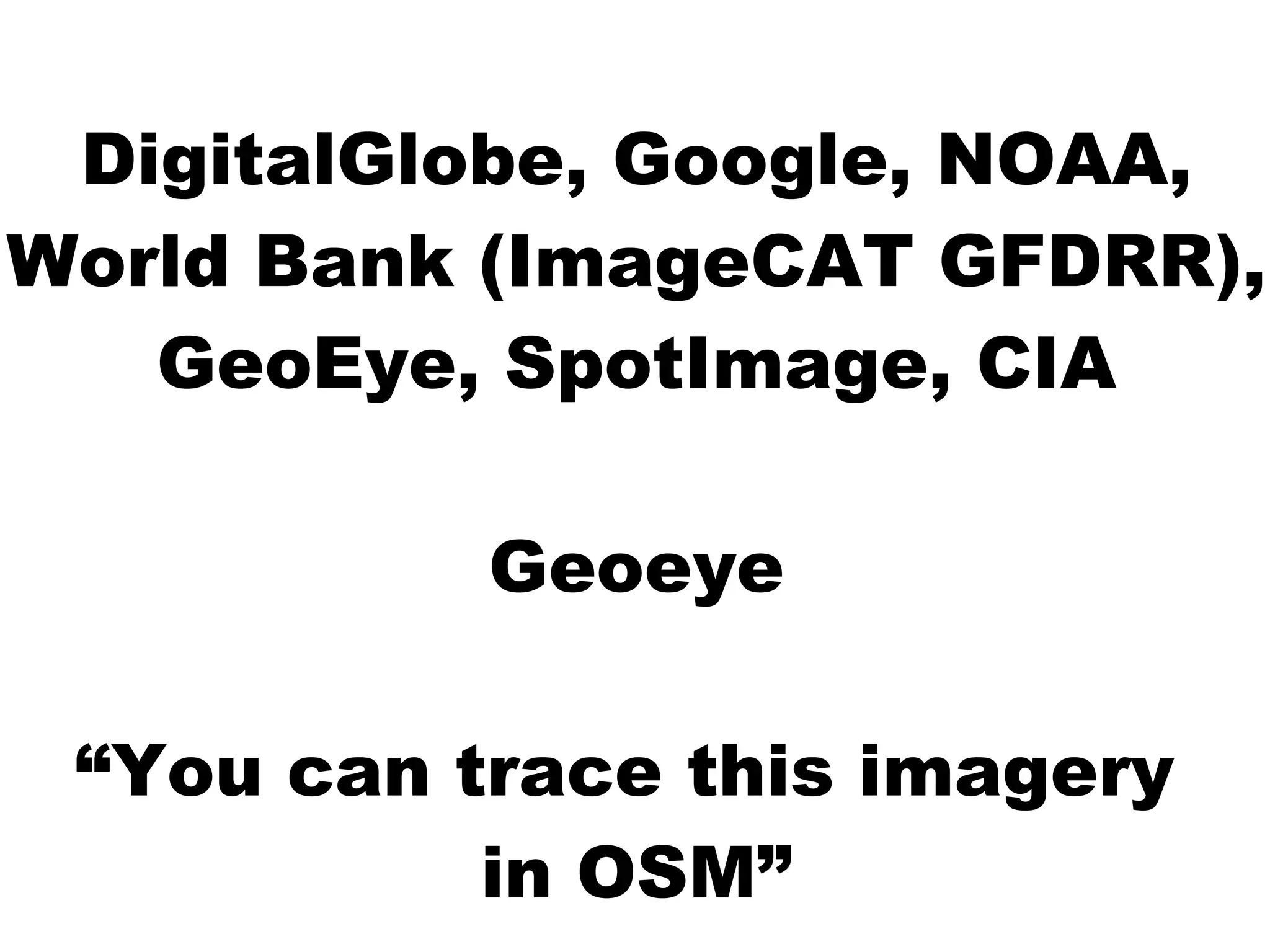
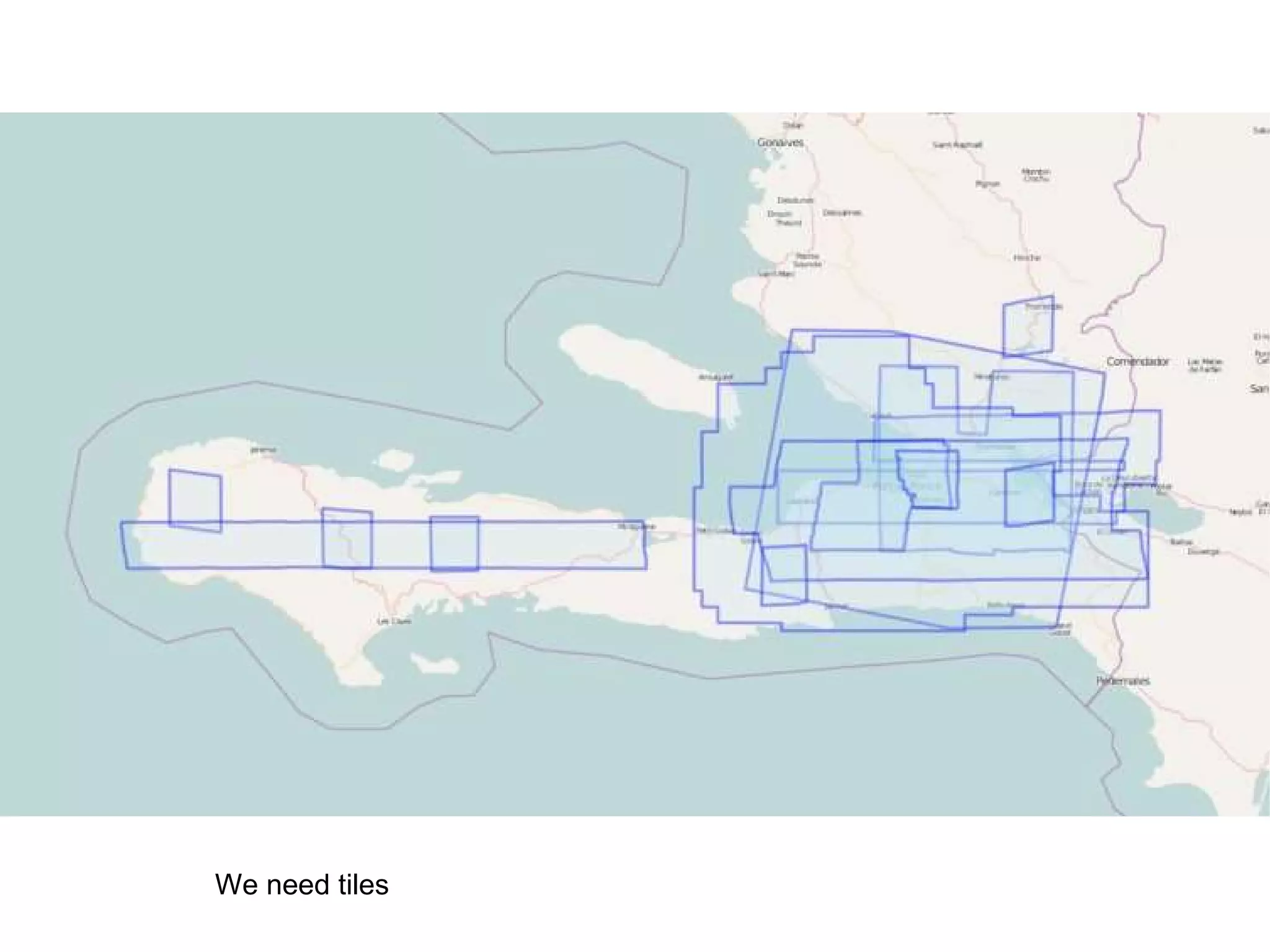
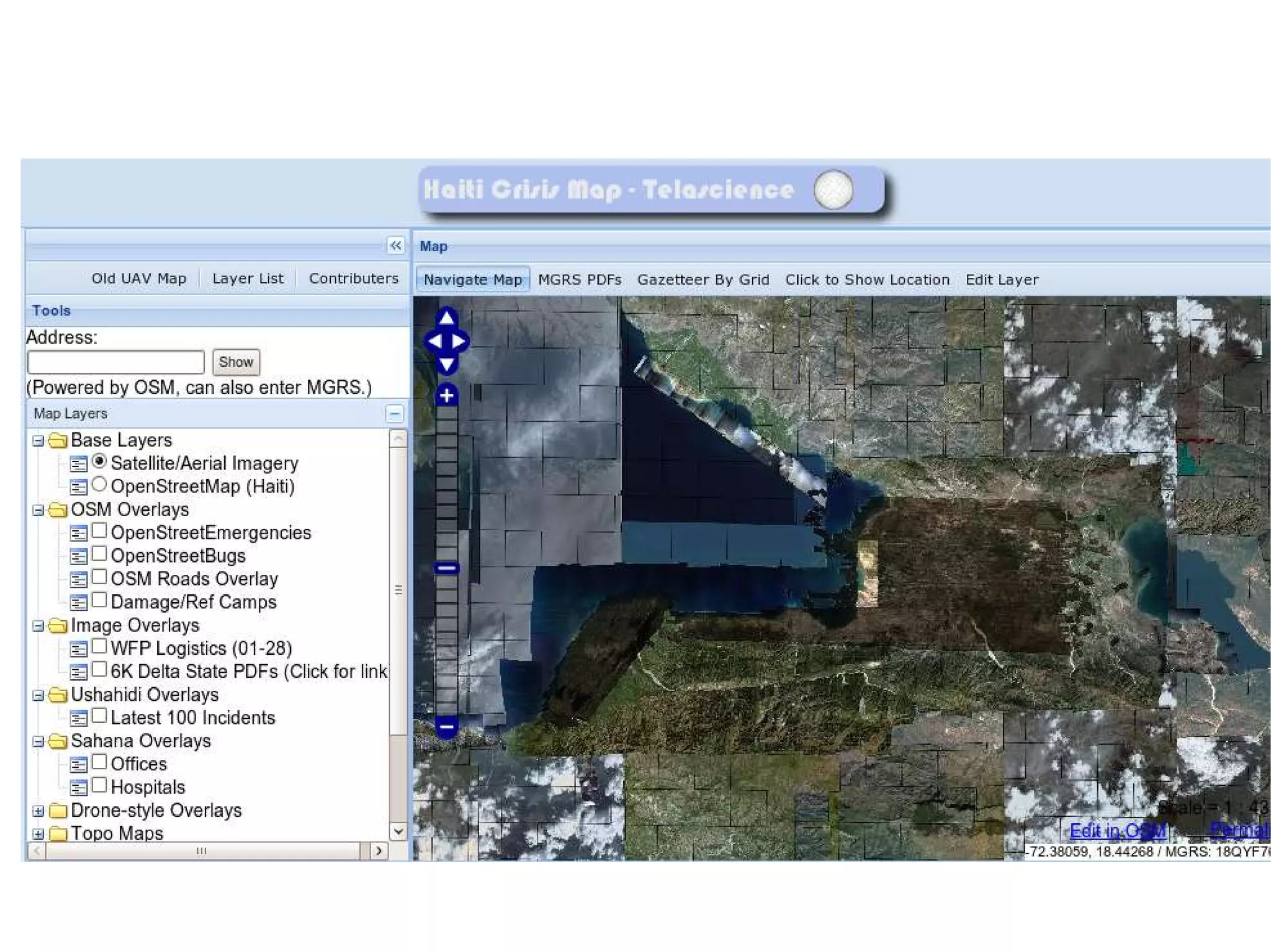
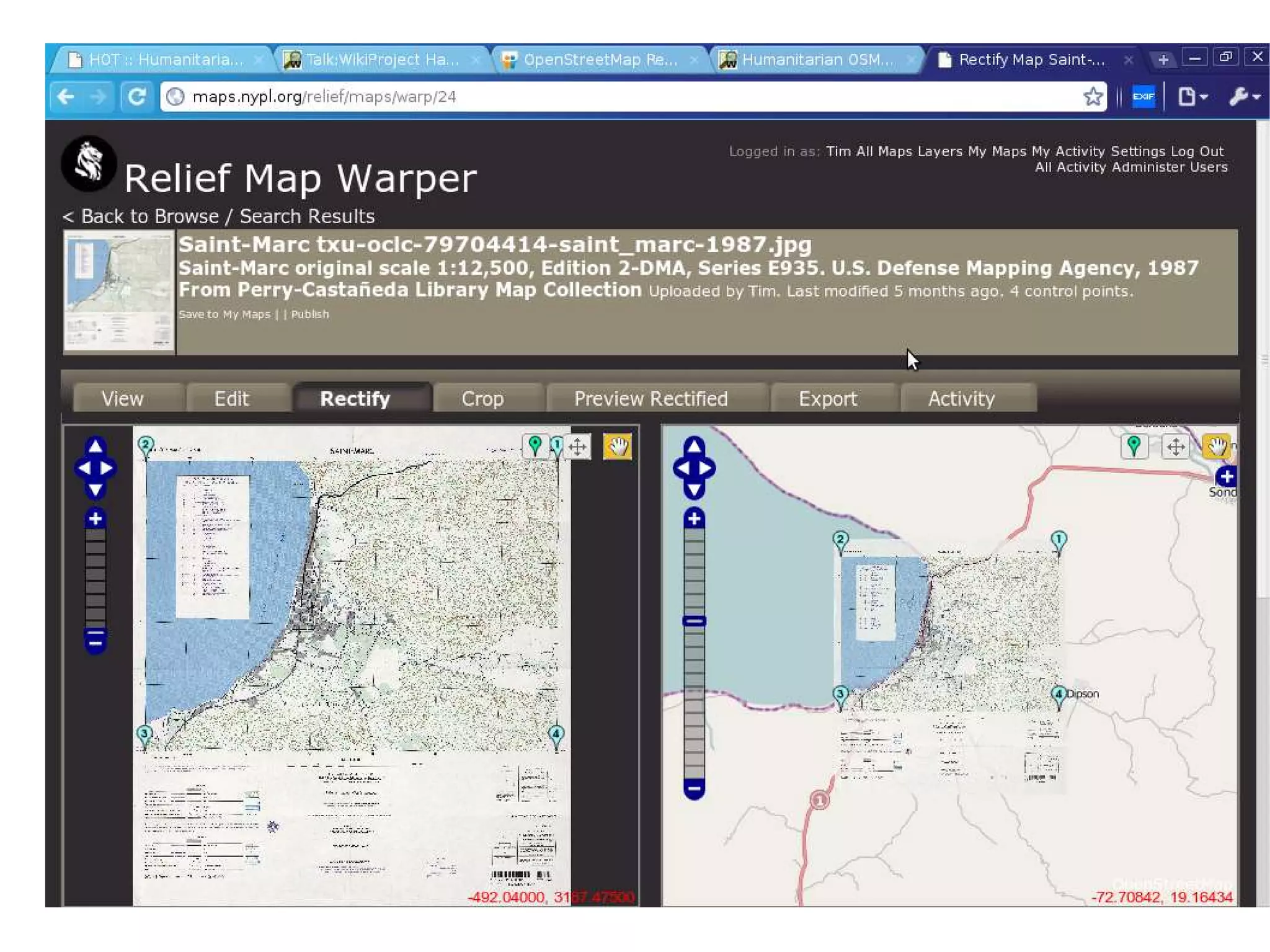
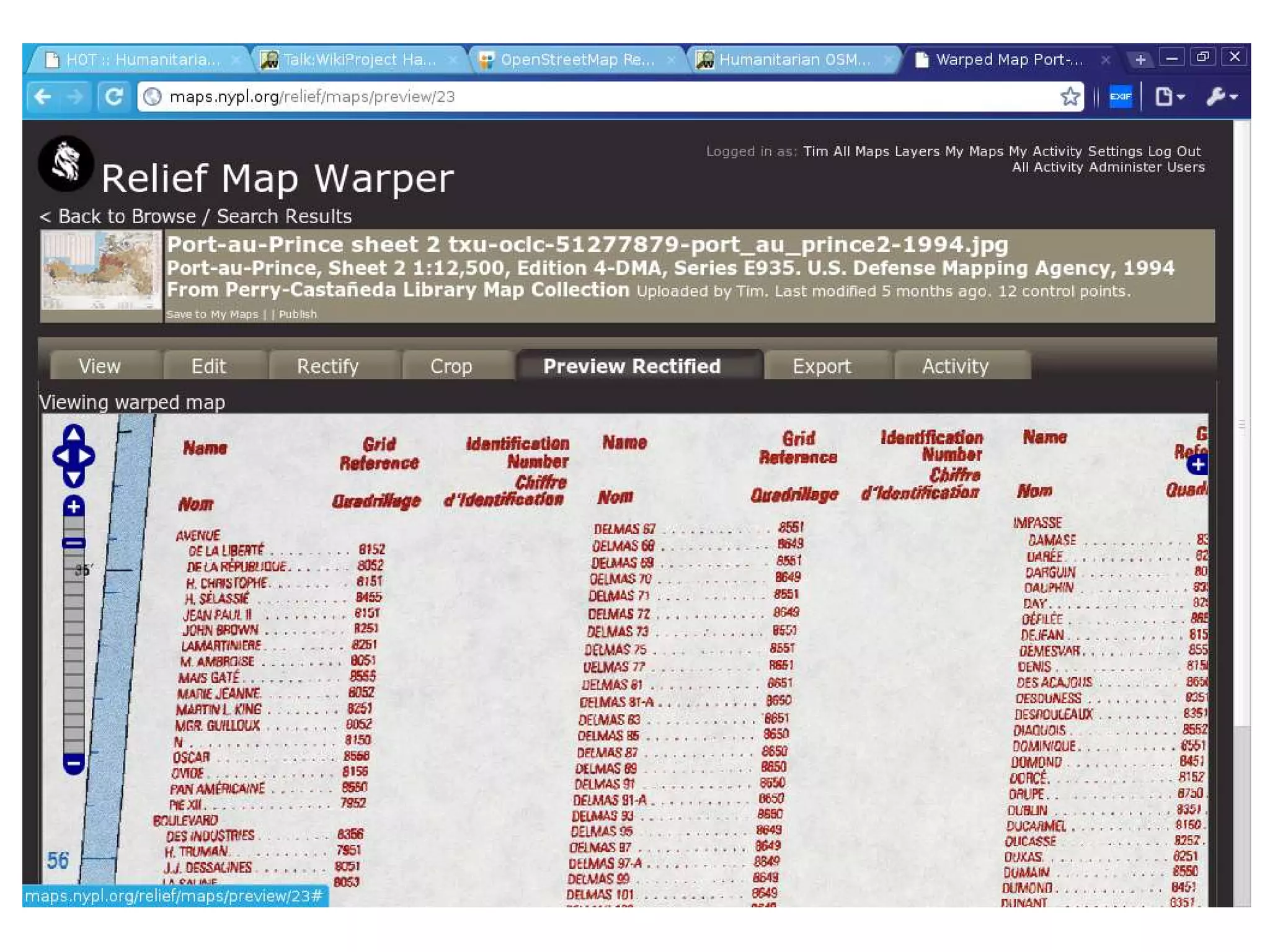
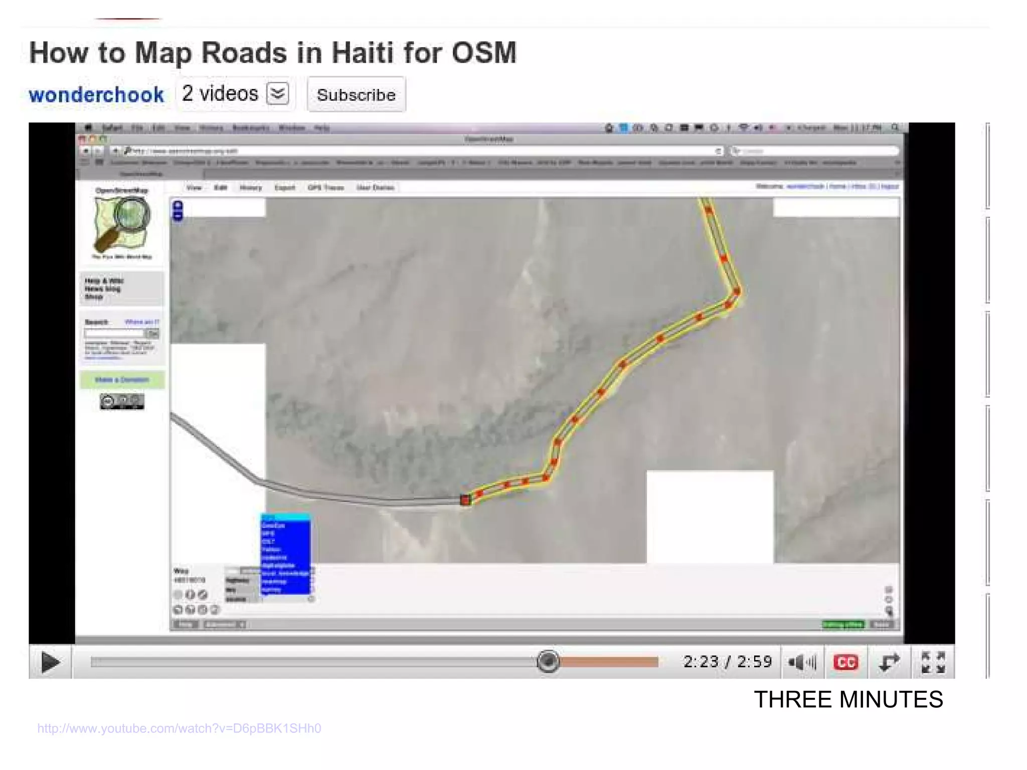
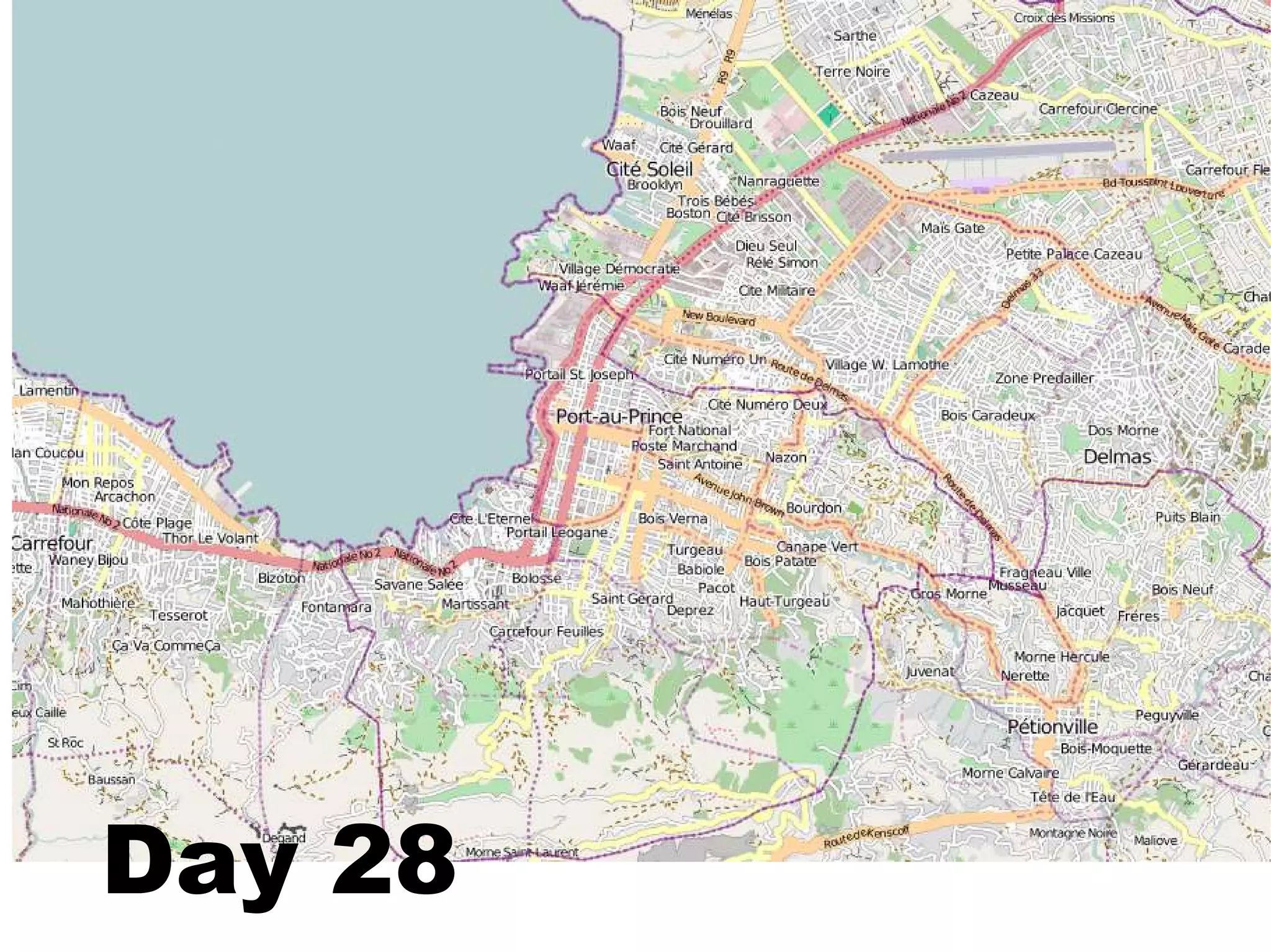
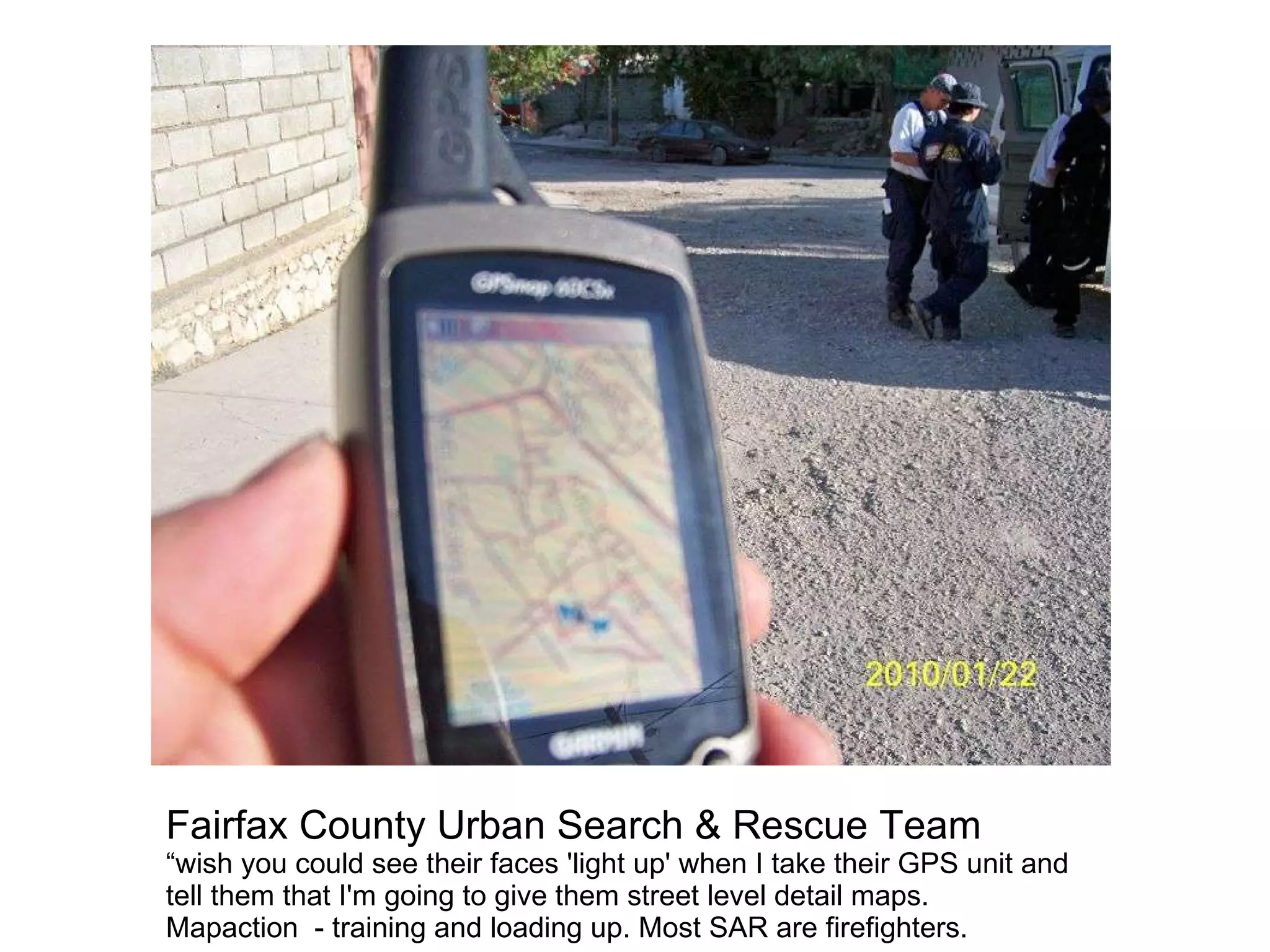
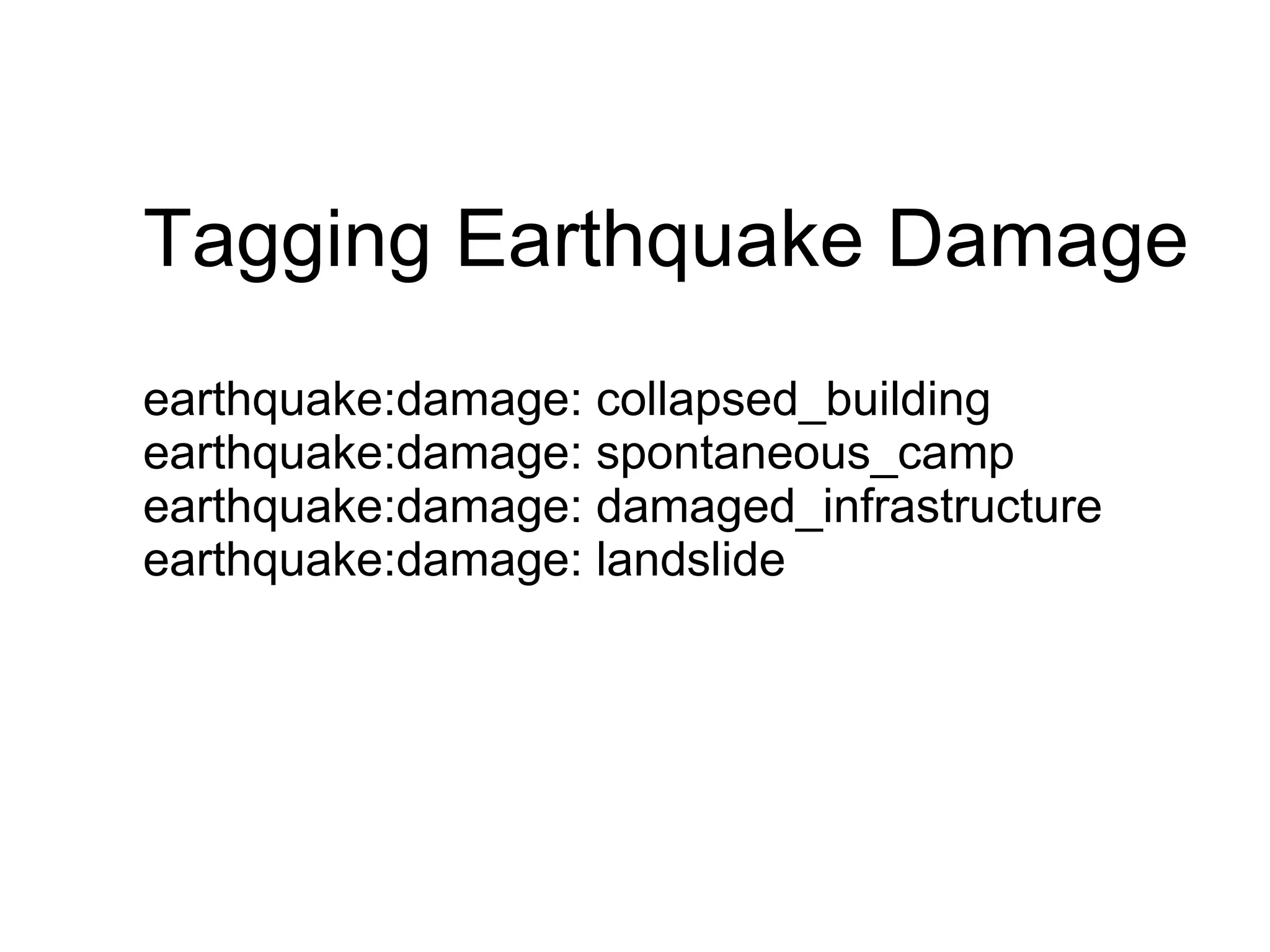
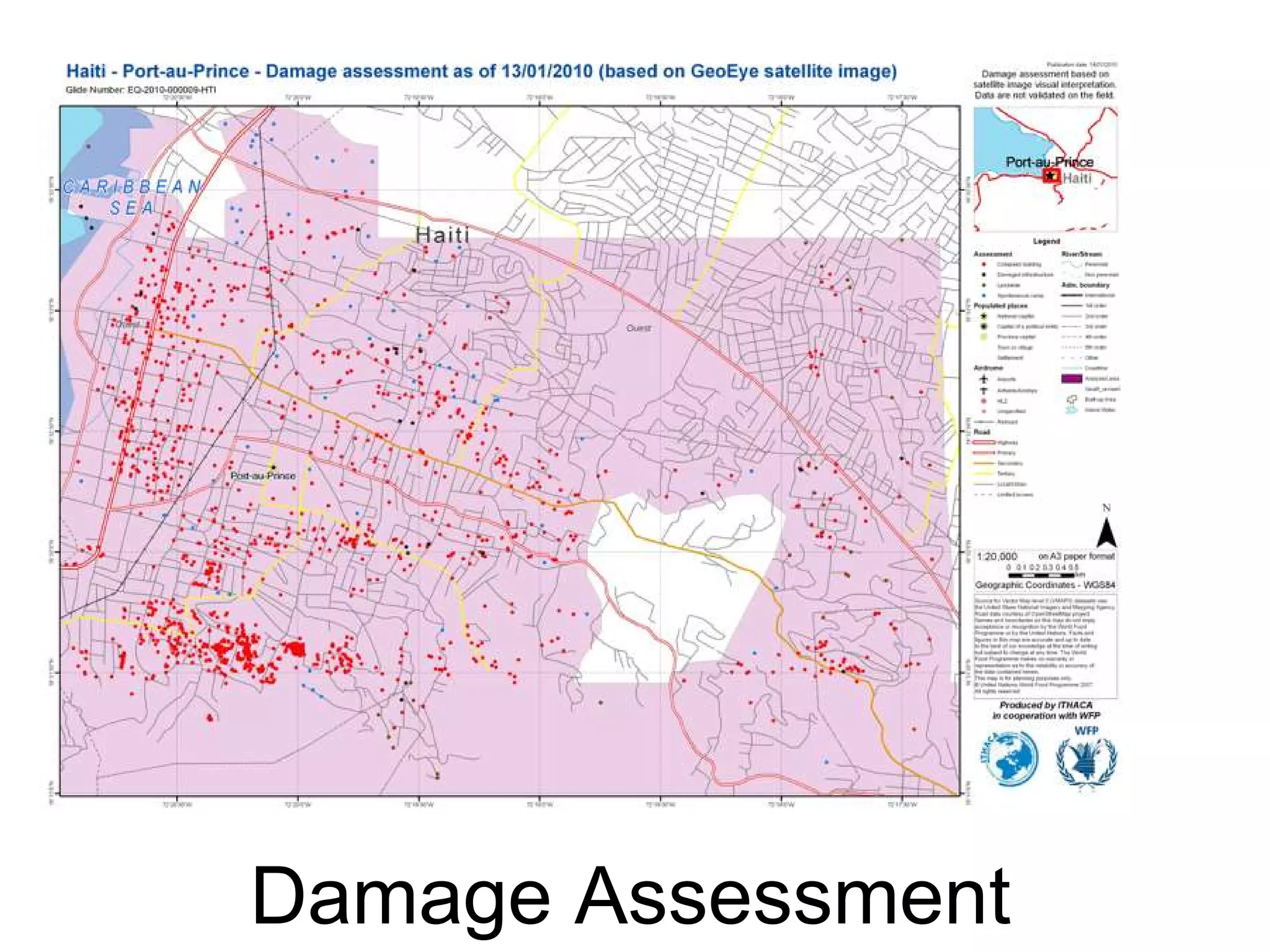
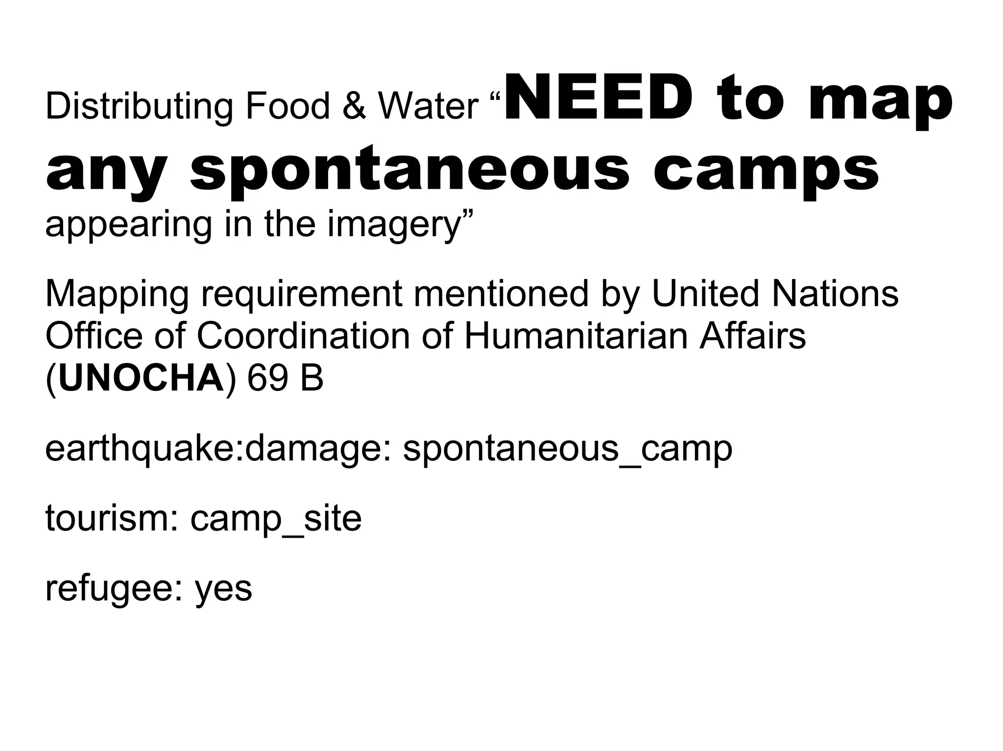
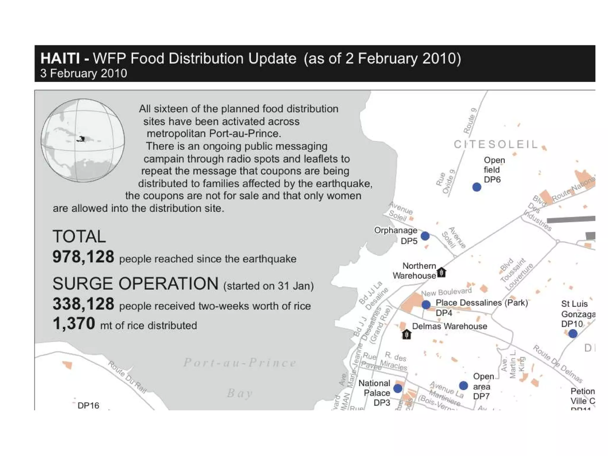
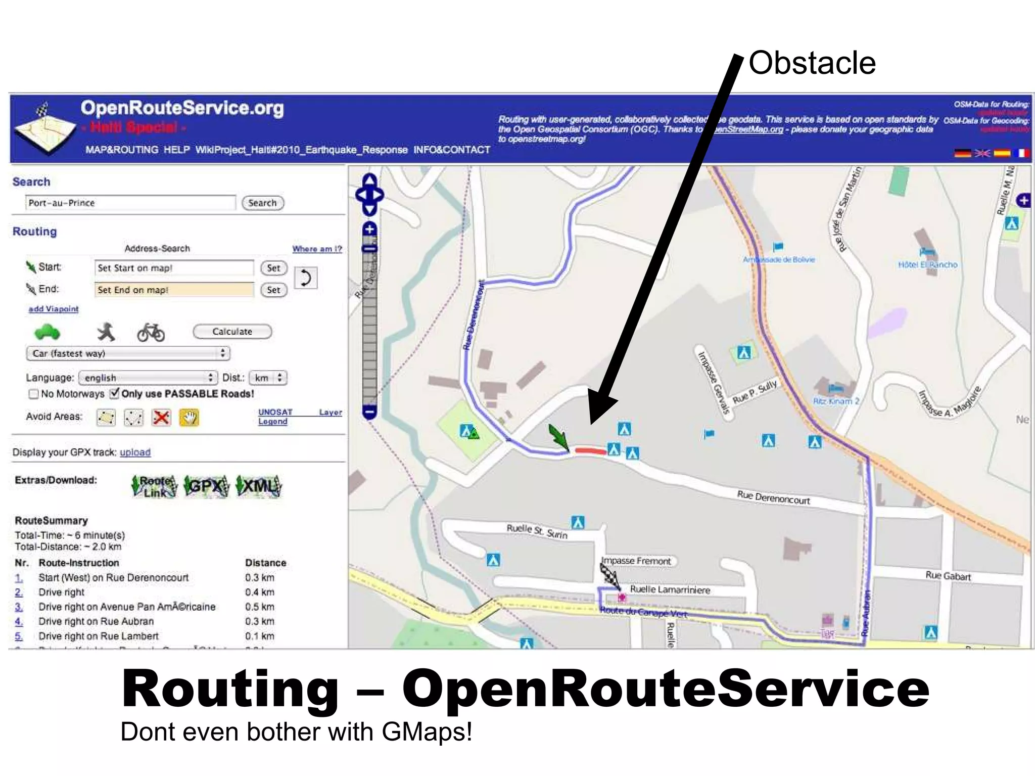
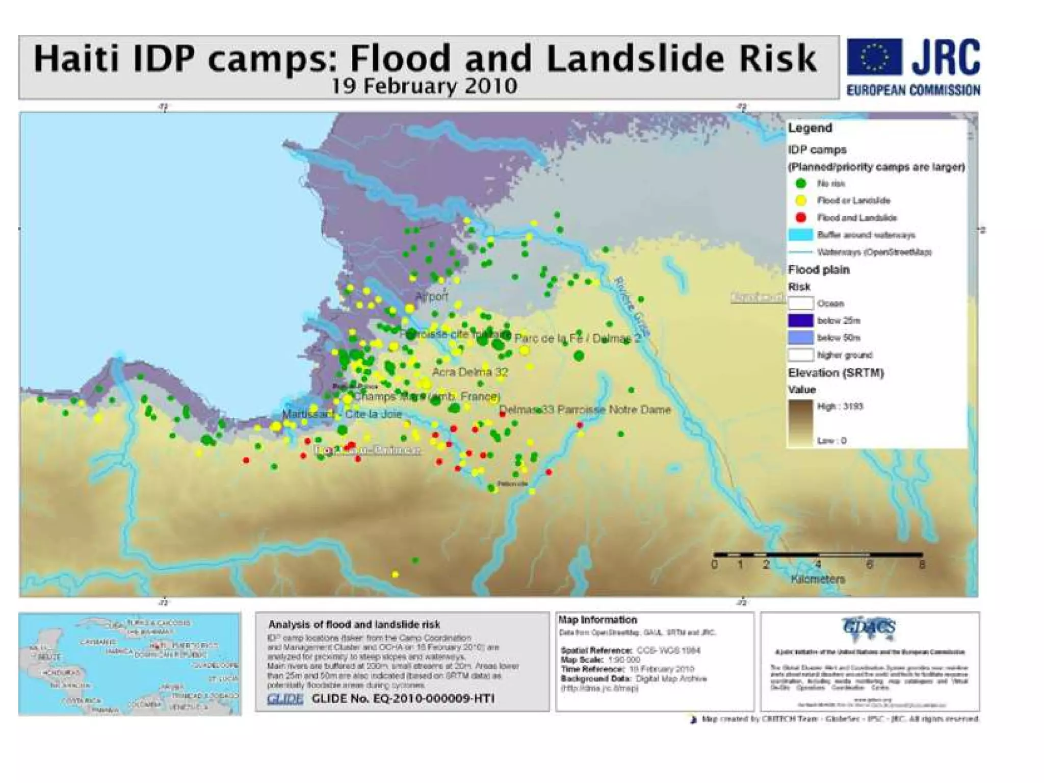
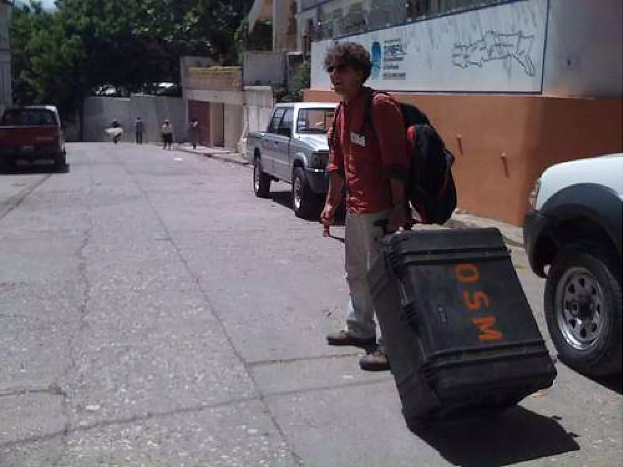
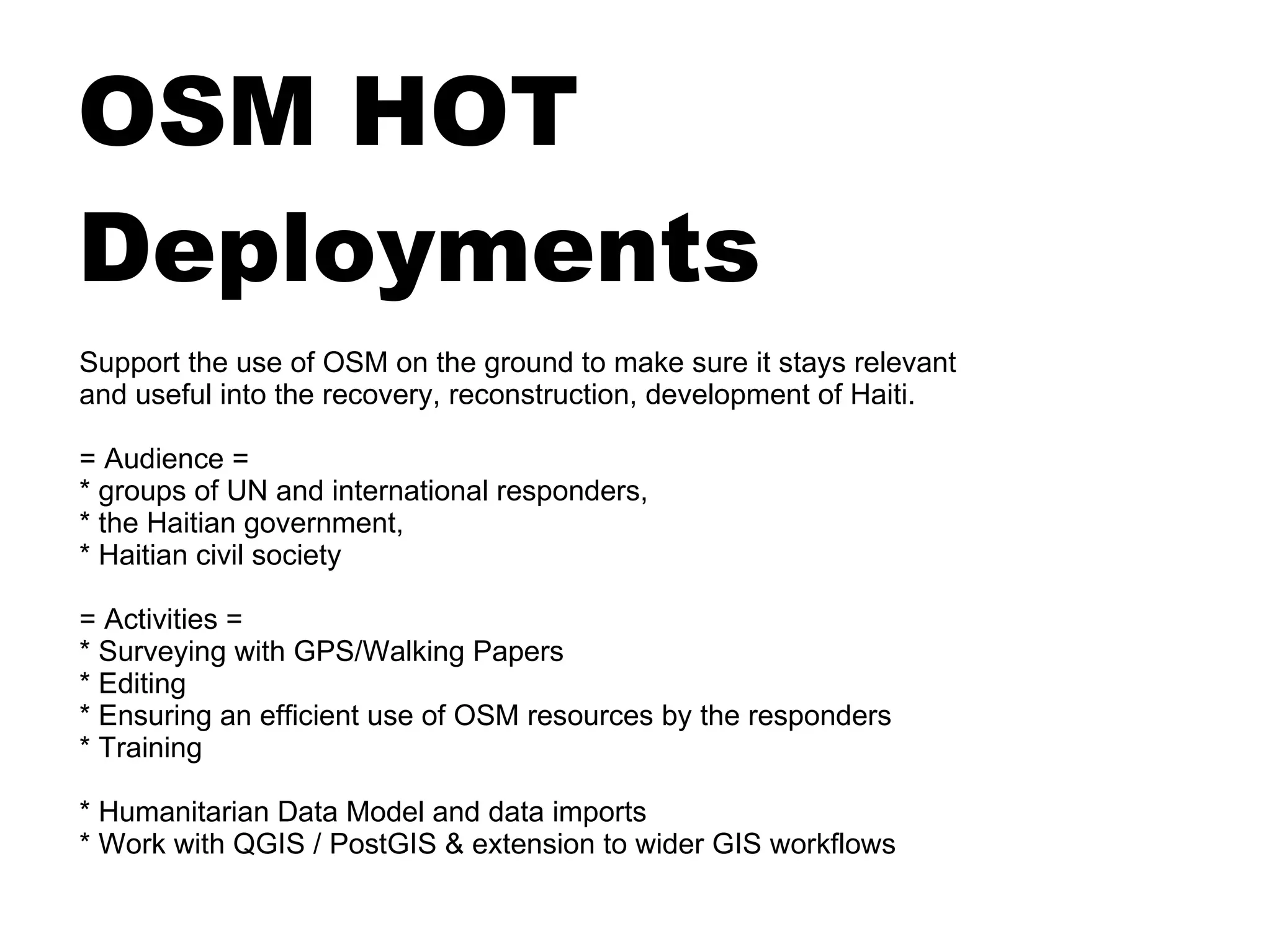
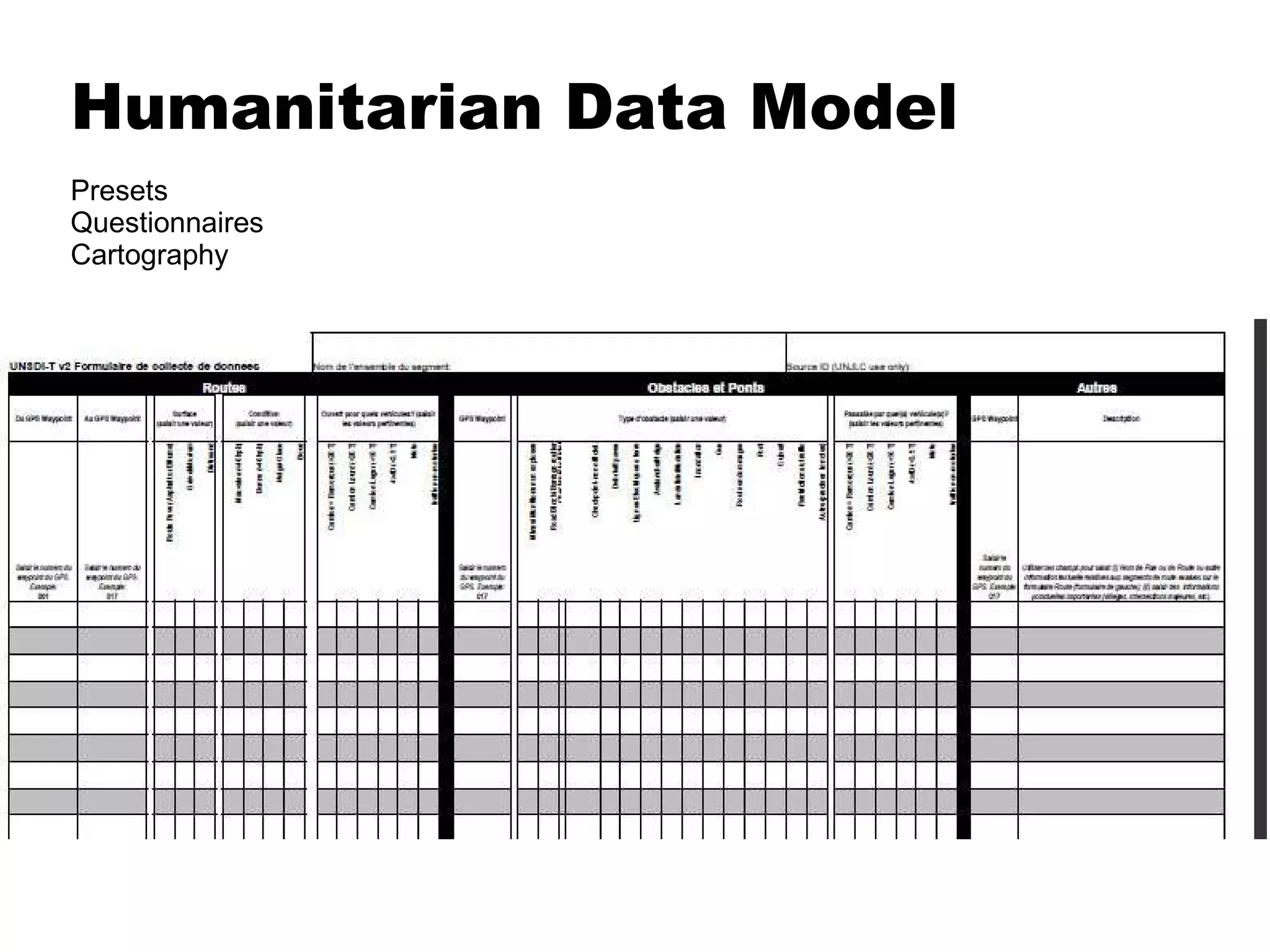
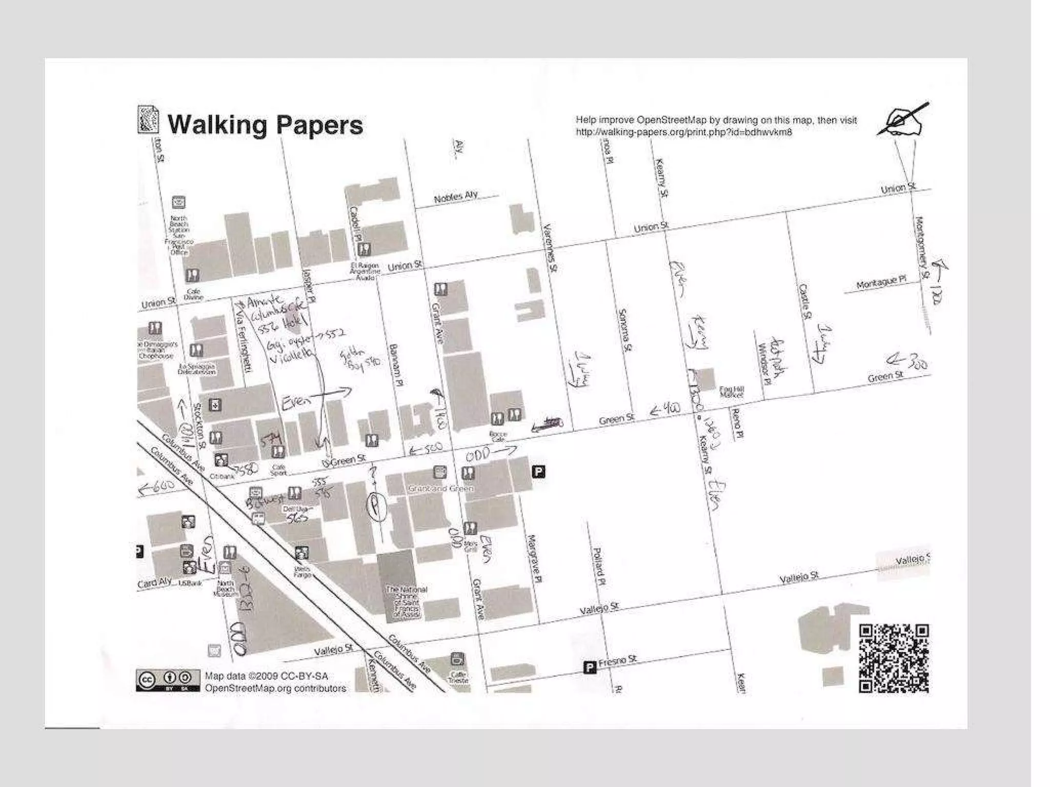
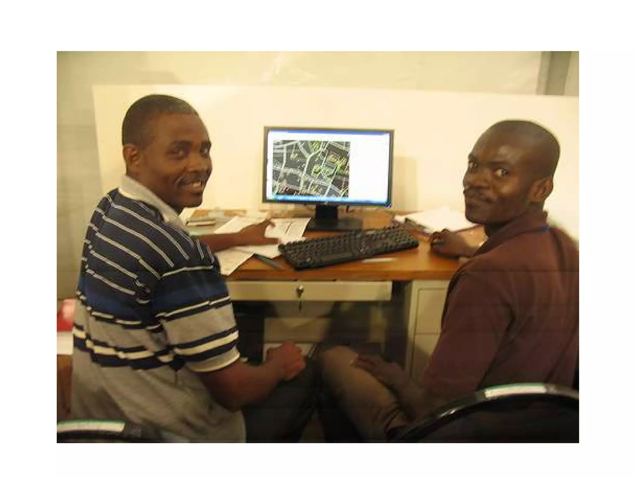
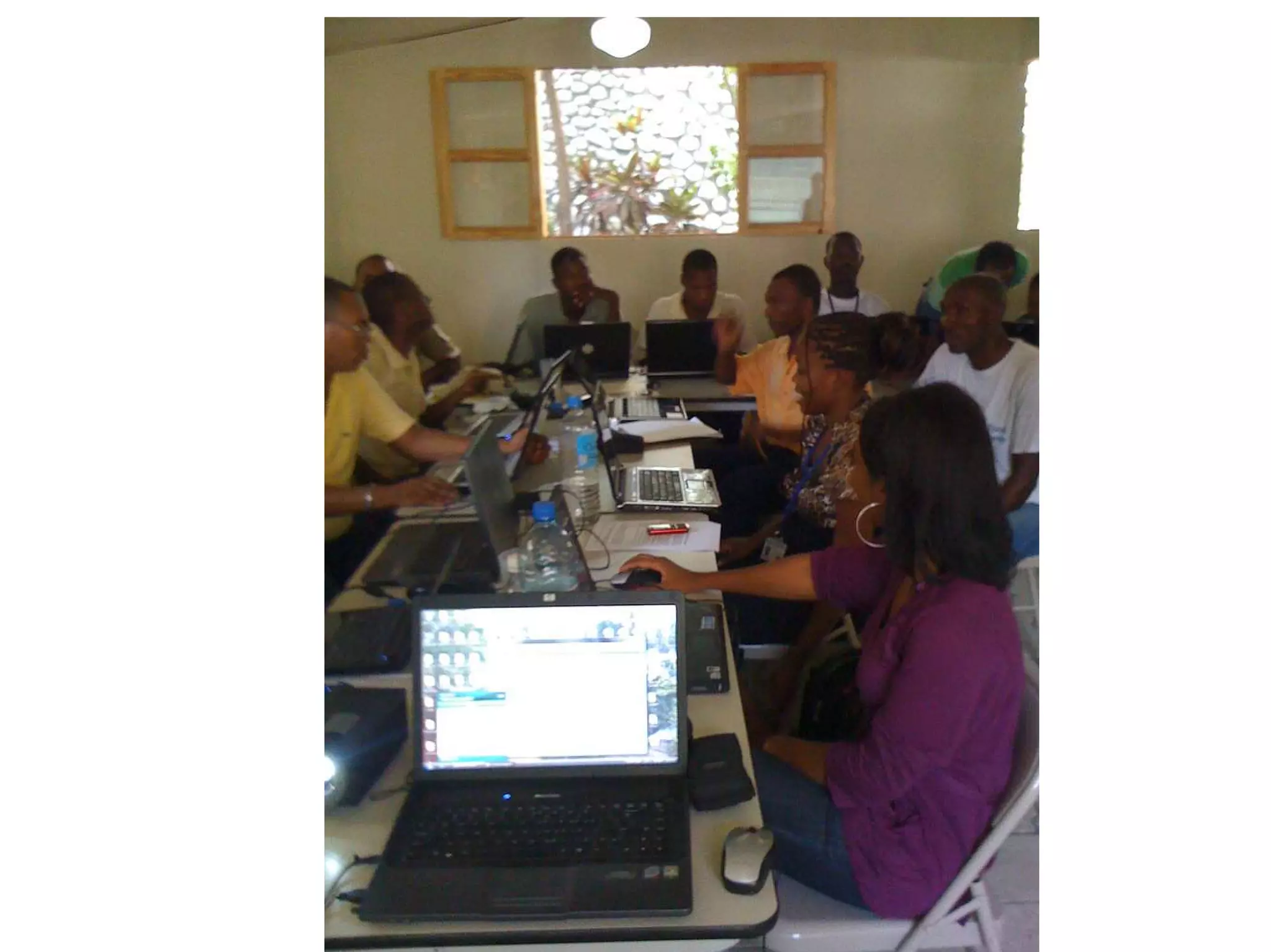
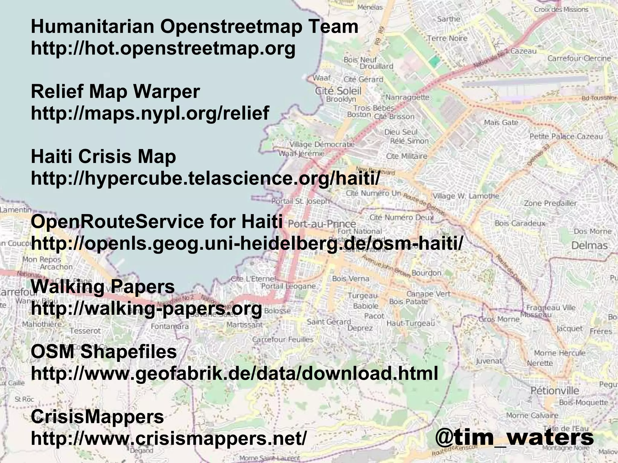
The OpenStreetMap Project
& Haiti Earthquake Case Study

          title


                  Tim Waters
                  OSM Foundation
                  @tim_waters
=   +
Easy to use
Want custom tiles?
Want data?
Planet
http://planet.openstreetmap.org/
     Full
     Daily
     Hour
     Minutely etc


Osmosis
--tag-filter accept-nodes amenity=toilet


OSM2PGSQL
.shp Extracts
HAITI

What we did in Haiti changed
disaster response forever.
Jeffery Johnson
1 Data collection

2 Apply to Disaster Response

3 Reconstruction

Crisis is ongoing!
1. Data Collection

Creation and Collection
of Data
Mass Collaboration
12 Jan 2010
Day 1
Day 1
Day 3
Day 1
Day 2
1 Week
2 Weeks
For the first time ever we now have a set of conditions where individuals from the
comfort and safety of their own home can literally help other people save lives in a
disaster zone by contributing to OSM & Ushahidi


Schuyler Erle

UN “Would have taken tens of thousands of pounds and years to do. OSM took 3 weeks.”
DigitalGlobe, Google, NOAA,
World Bank (ImageCAT GFDRR),
   GeoEye, SpotImage, CIA

           Geoeye

 “You can trace this imagery
           in OSM”
We need tiles
3 minutes
                                    http://www.youtube.com/watch?v=D6pBBK1SHh0


                                                                          THREE MINUTES
http://www.youtube.com/watch?v=D6pBBK1SHh0
http://www.flickr.com/photos/sidereal/17380004/
Day 1
Day 28

    Satellite and aerial imagery was
    made available.

    Volunteers (>700) marshalled that
    imagery and made it usable.

    Volunteers traced the imagery into
    OSM.

    Volunteers prepared extracts of OSM
    for reuse.
1 Data collection

2 Apply to Disaster Response

3 Reconstruction
Fairfax County Urban Search & Rescue Team
“wish you could see their faces 'light up' when I take their GPS unit and
tell them that I'm going to give them street level detail maps.
Mapaction - training and loading up. Most SAR are firefighters.
Tagging Earthquake Damage
earthquake:damage: collapsed_building
earthquake:damage: spontaneous_camp
earthquake:damage: damaged_infrastructure
earthquake:damage: landslide
Damage Assessment
NEED to map
Distributing Food & Water “
any spontaneous camps
appearing in the imagery”
Mapping requirement mentioned by United Nations
Office of Coordination of Humanitarian Affairs
(UNOCHA) 69 B
earthquake:damage: spontaneous_camp
tourism: camp_site
refugee: yes
Obstacle


Routing – OpenRouteService
Dont even bother with GMaps!
1 Data collection

2 Apply to Disaster Response

3 Ongoing crisis & recovery
OSM HOT
Deployments
Support the use of OSM on the ground to make sure it stays relevant
and useful into the recovery, reconstruction, development of Haiti.

= Audience =
* groups of UN and international responders,
* the Haitian government,
* Haitian civil society

= Activities =
* Surveying with GPS/Walking Papers
* Editing
* Ensuring an efficient use of OSM resources by the responders
* Training

* Humanitarian Data Model and data imports
* Work with QGIS / PostGIS & extension to wider GIS workflows
Humanitarian Data Model
Presets
Questionnaires
Cartography
Supported by
Many organisations:

OpenGeo
World Bank
MapAction
ESRI
World Food Programme
Humanitarian Openstreetmap Team
http://hot.openstreetmap.org

Relief Map Warper
http://maps.nypl.org/relief

Haiti Crisis Map
http://hypercube.telascience.org/haiti/

OpenRouteService for Haiti
http://openls.geog.uni-heidelberg.de/osm-haiti/

Walking Papers
http://walking-papers.org

OSM Shapefiles
http://www.geofabrik.de/data/download.html

CrisisMappers
http://www.crisismappers.net/              @tim_waters

OpenStreetMap - Case Study Haiti Crisis Response