Download as KEY, PPTX


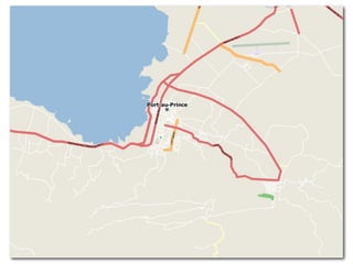
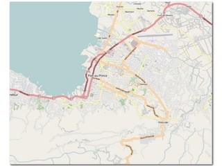
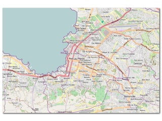
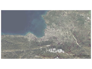

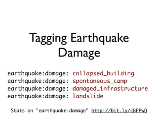
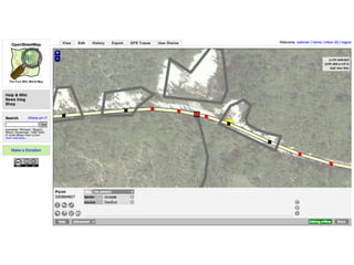
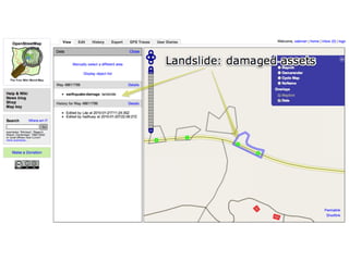
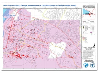
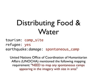
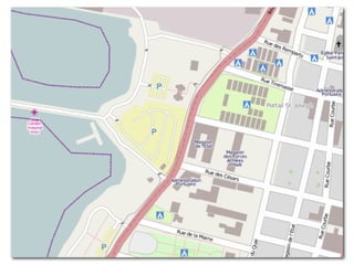
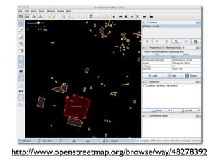
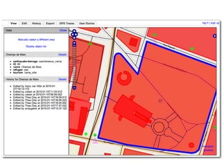
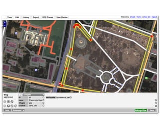
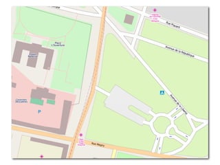
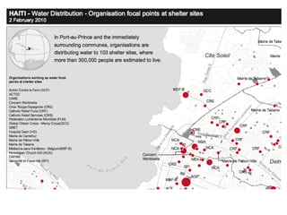


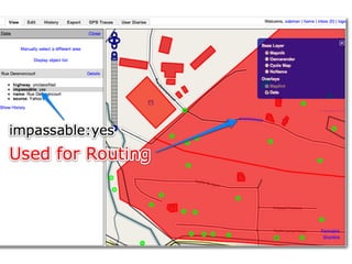
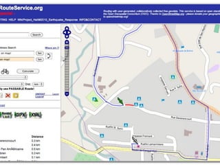
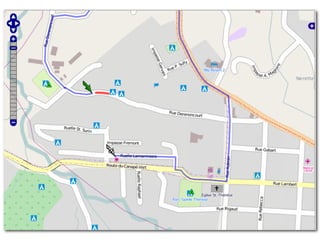
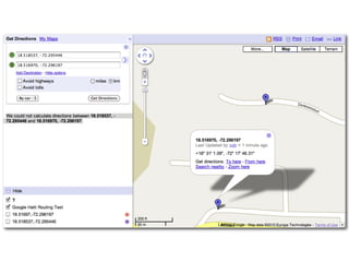
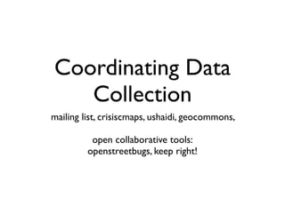
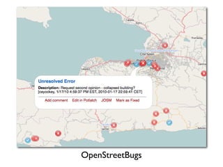
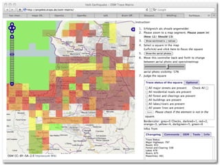


The document summarizes the OpenStreetMap community's response to the 2010 Haiti earthquake by mapping damage from satellite imagery and coordinating data collection through open tools. Volunteers mapped collapsed buildings, camps, damaged infrastructure and landslides to aid relief efforts. The maps were used to distribute food and water by identifying spontaneous camps. Reconstruction efforts were also mapped to increase accountability for donations. OpenStreetMap coordinated their mapping work through mailing lists and tools like Ushahidi to effectively respond to the disaster.