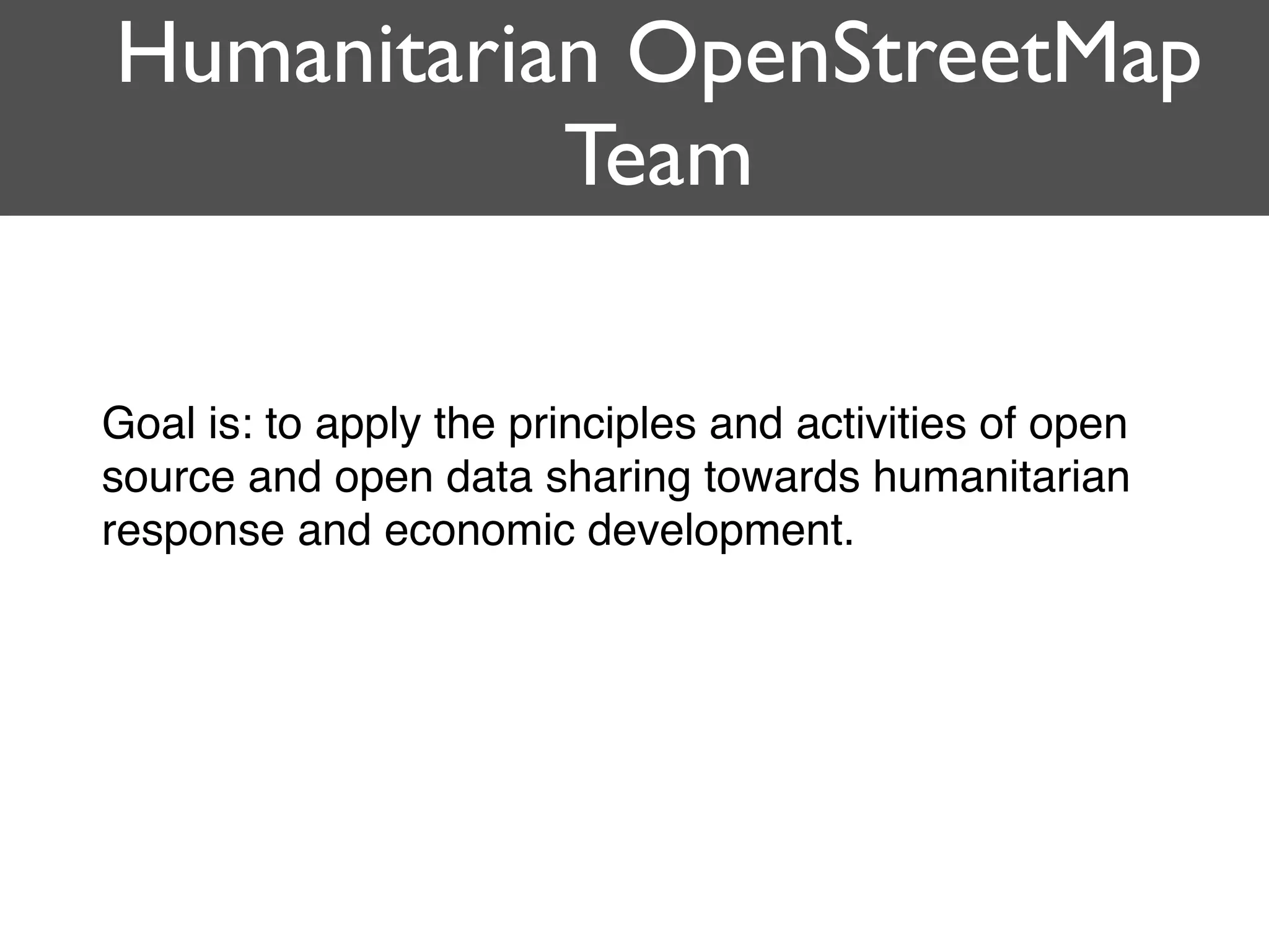
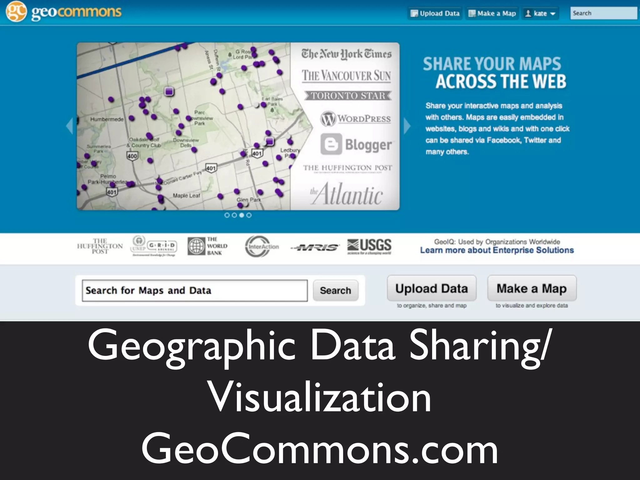
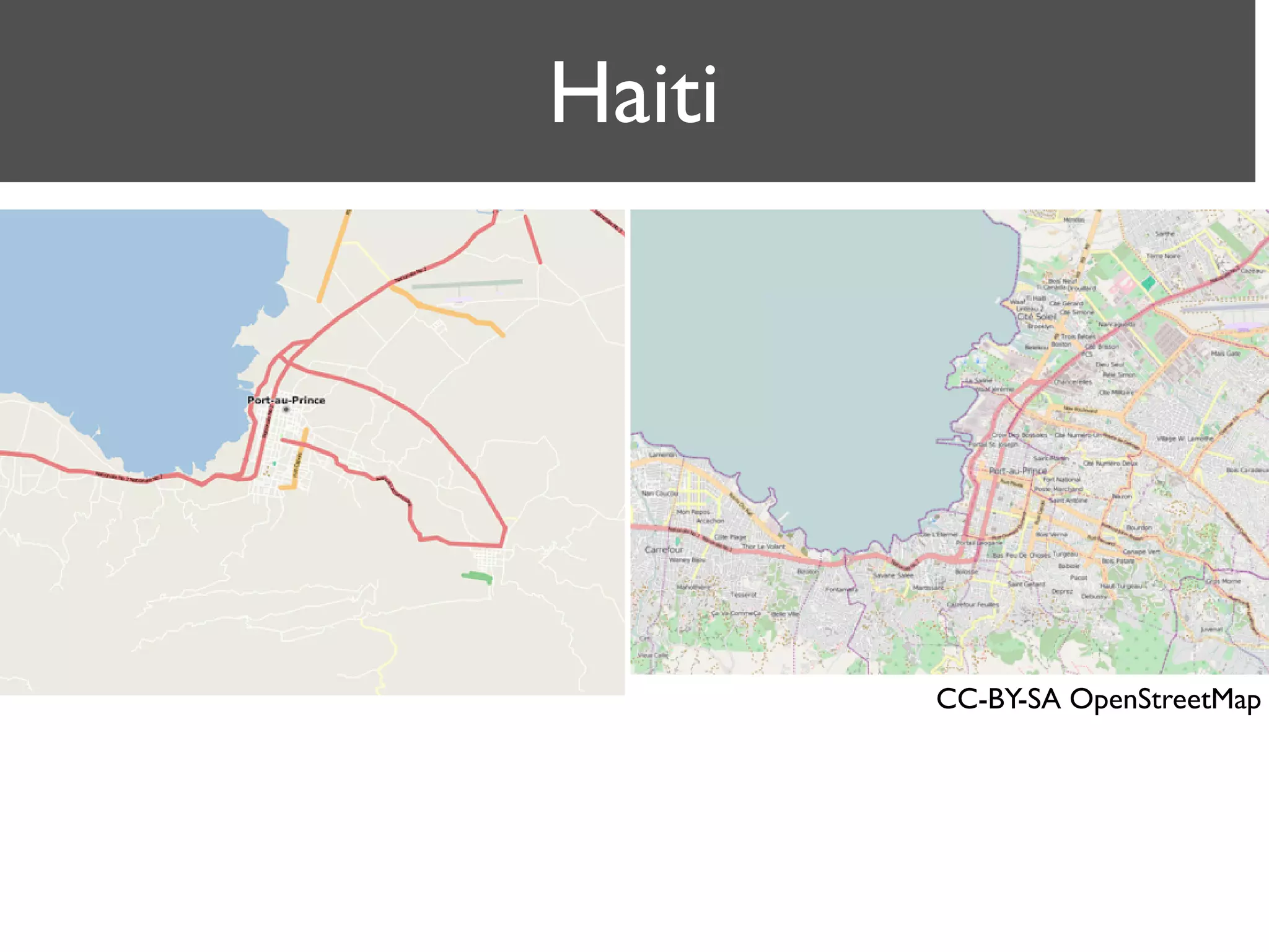
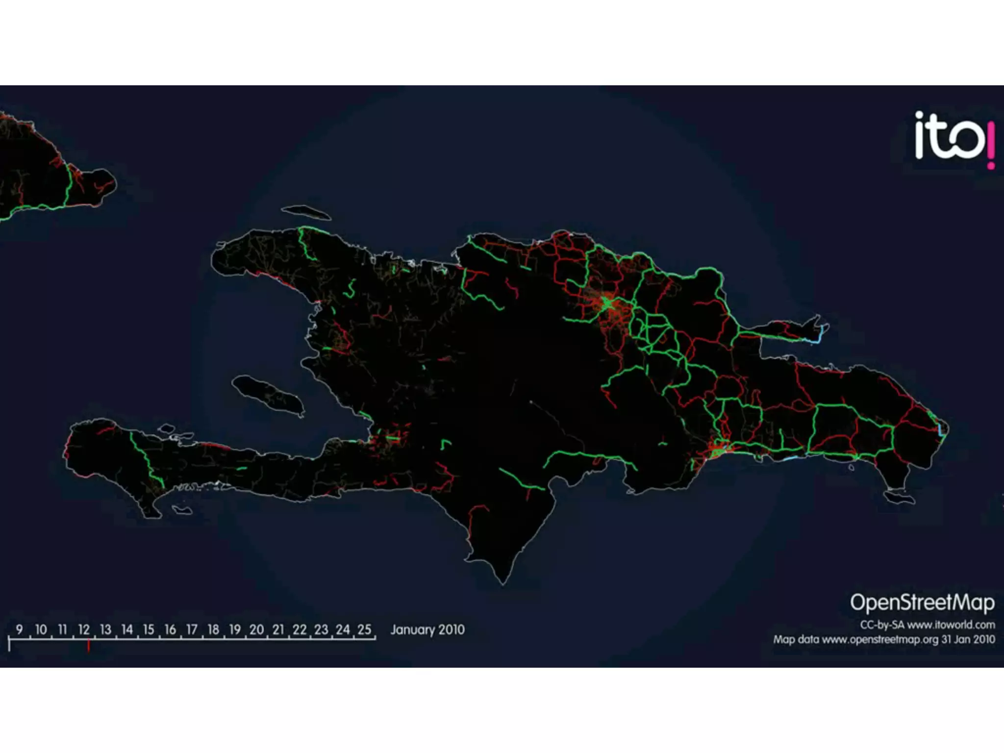
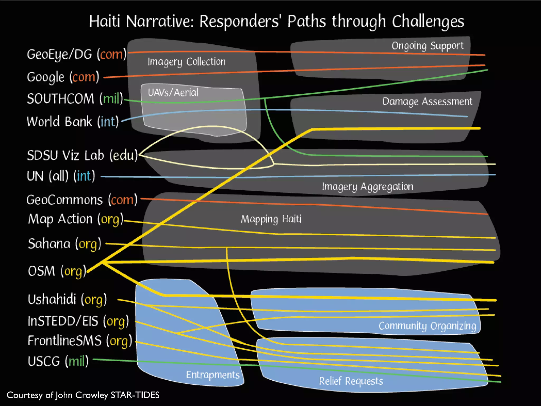
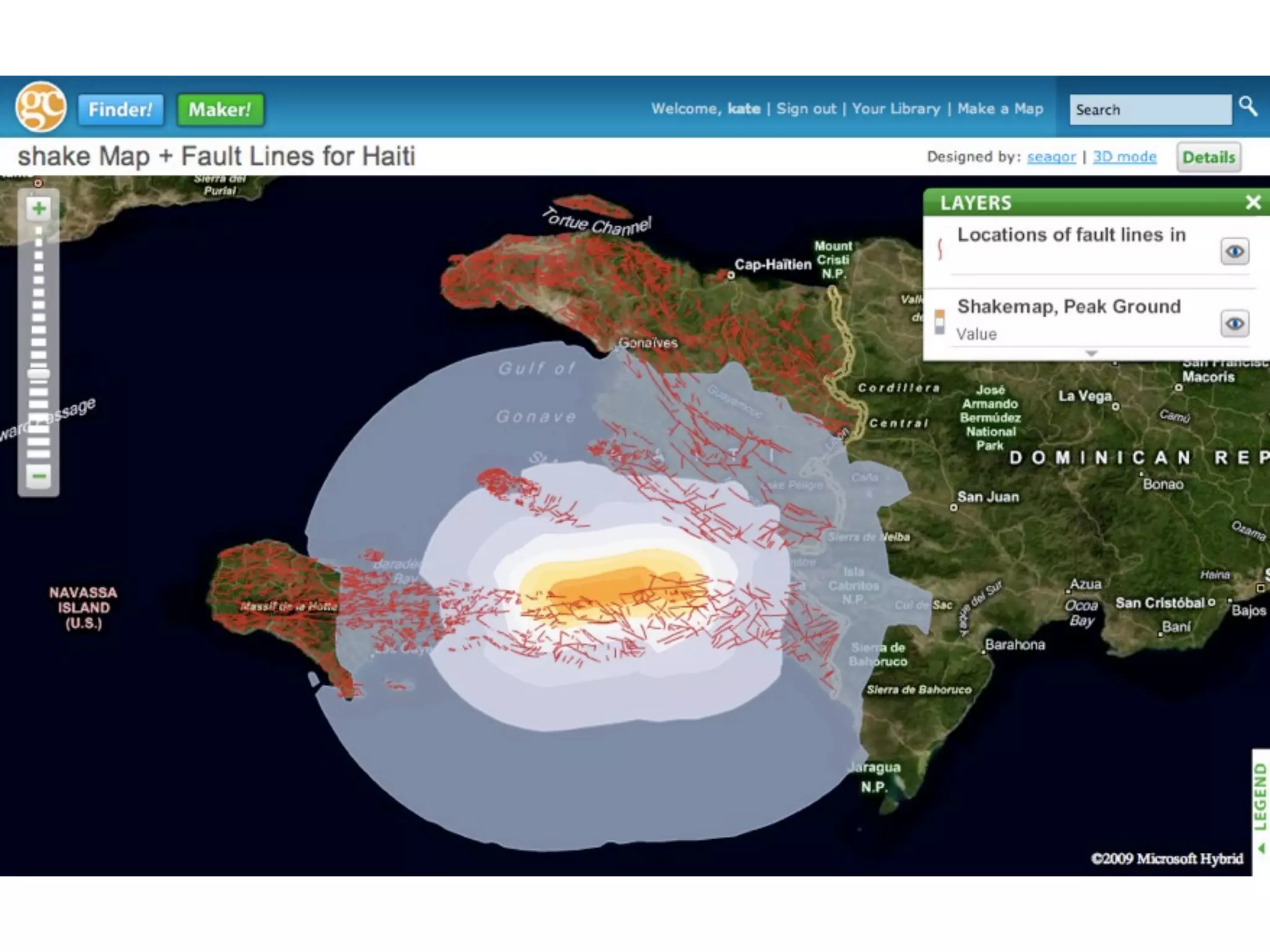
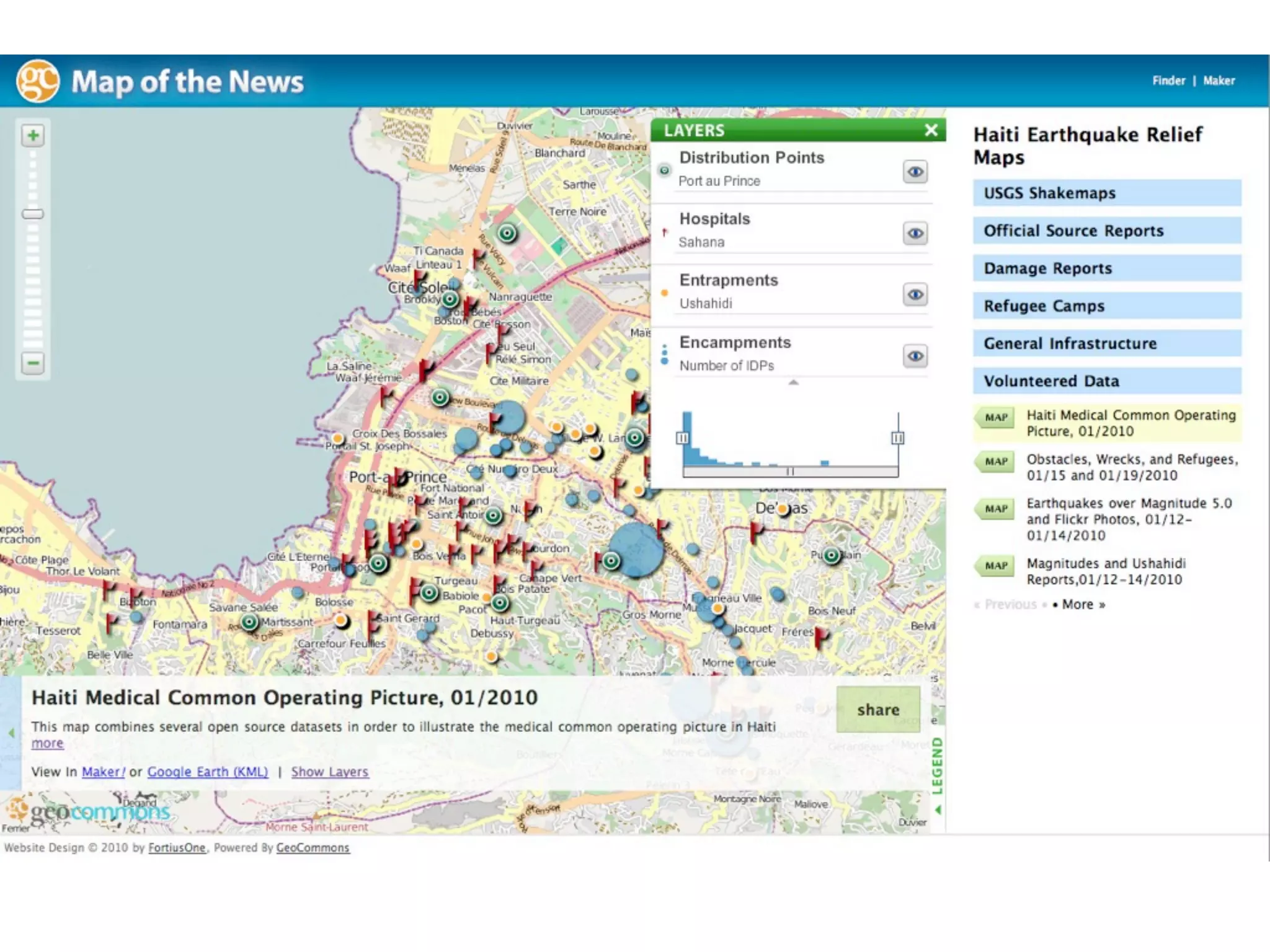
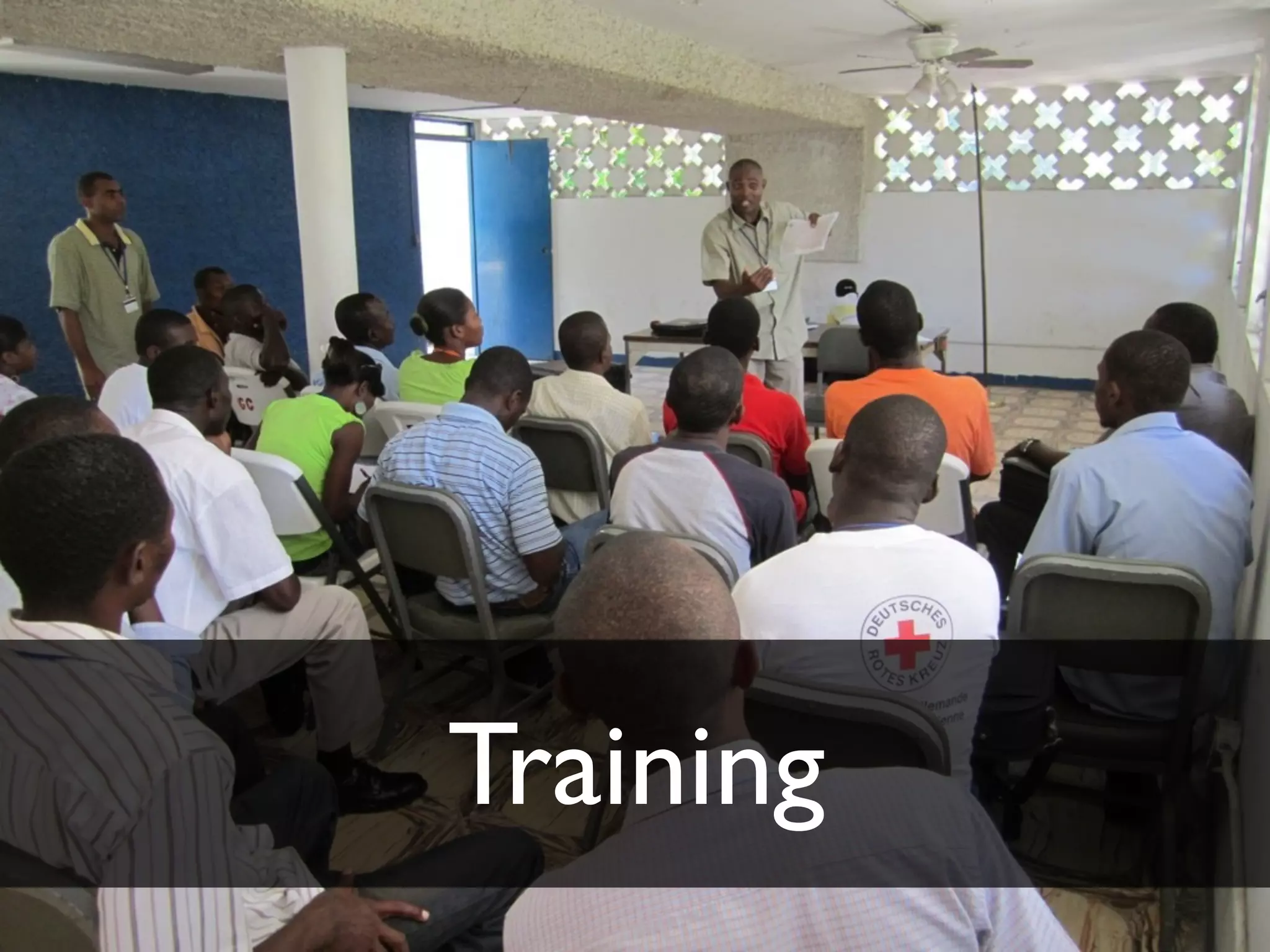
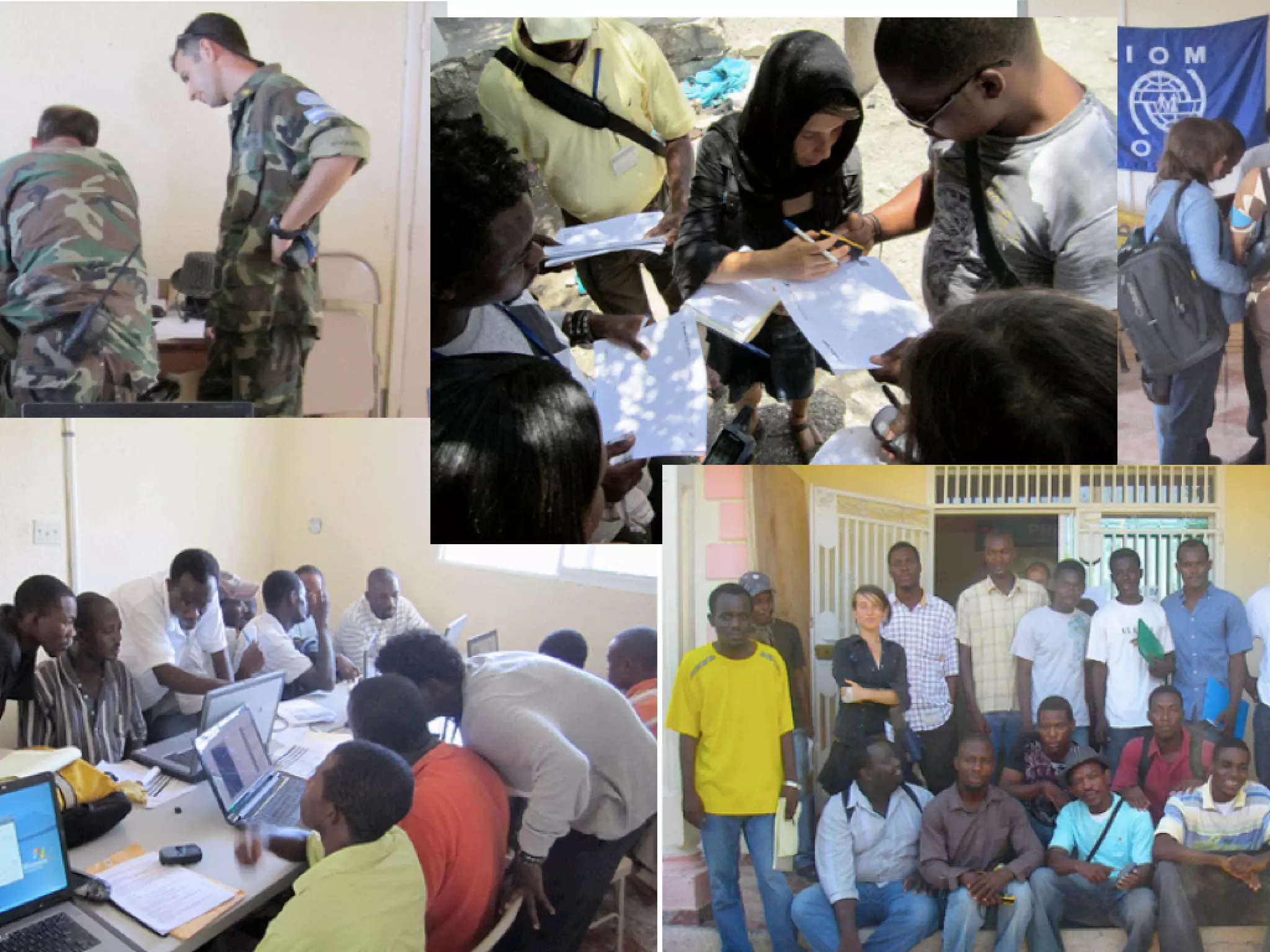
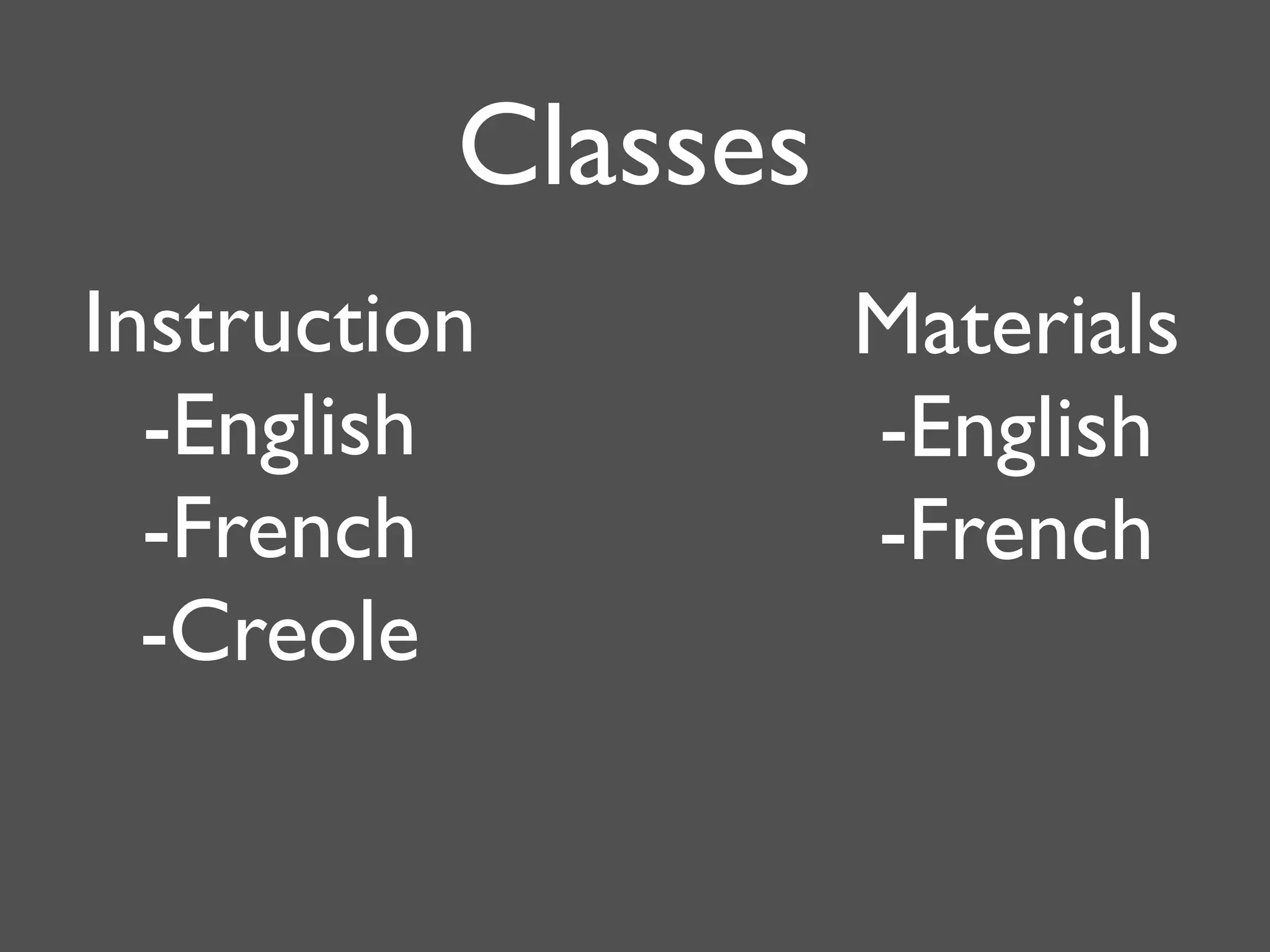
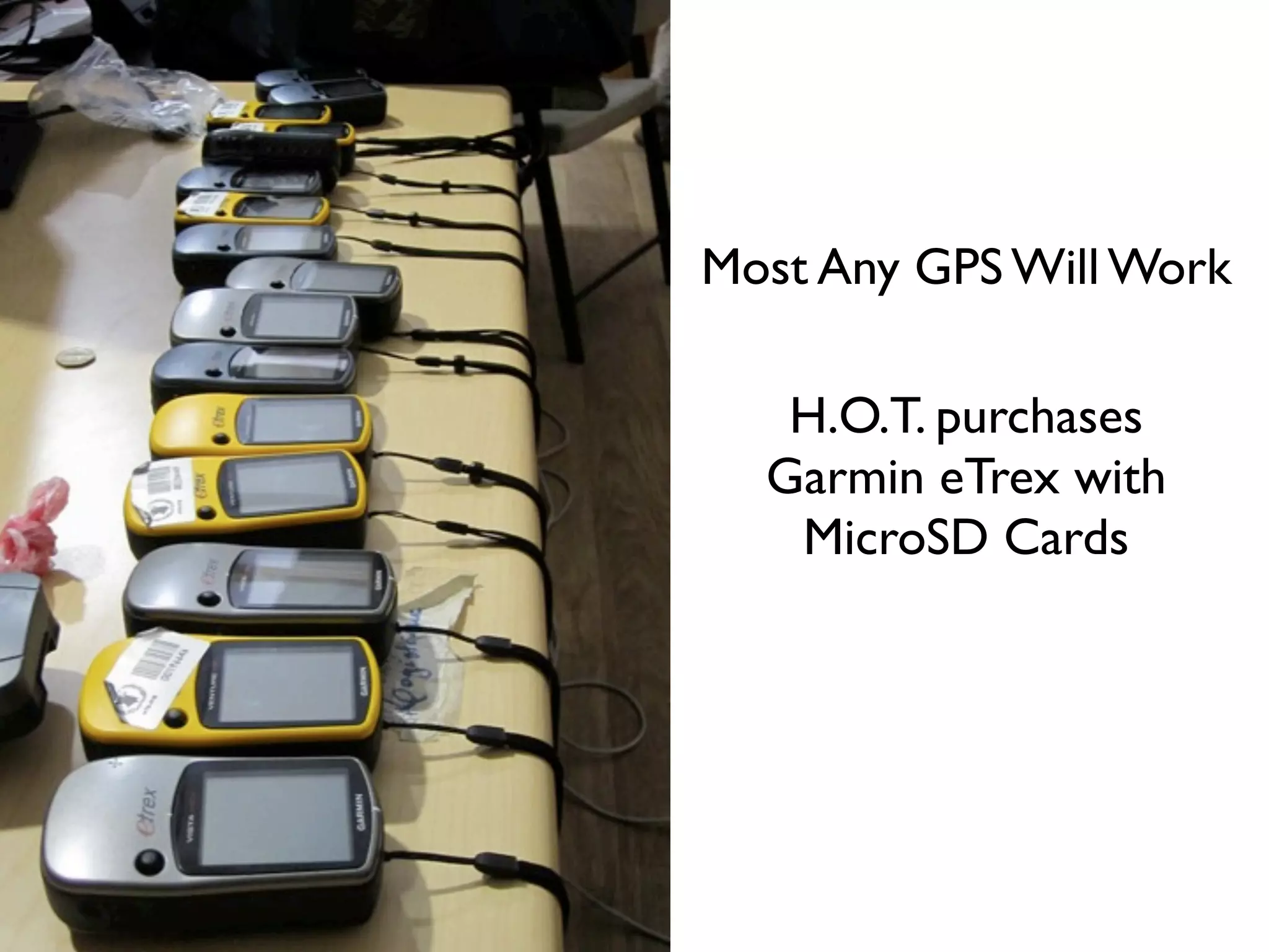
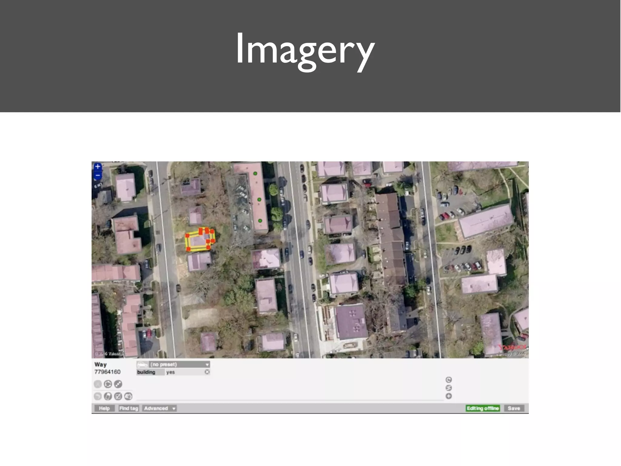
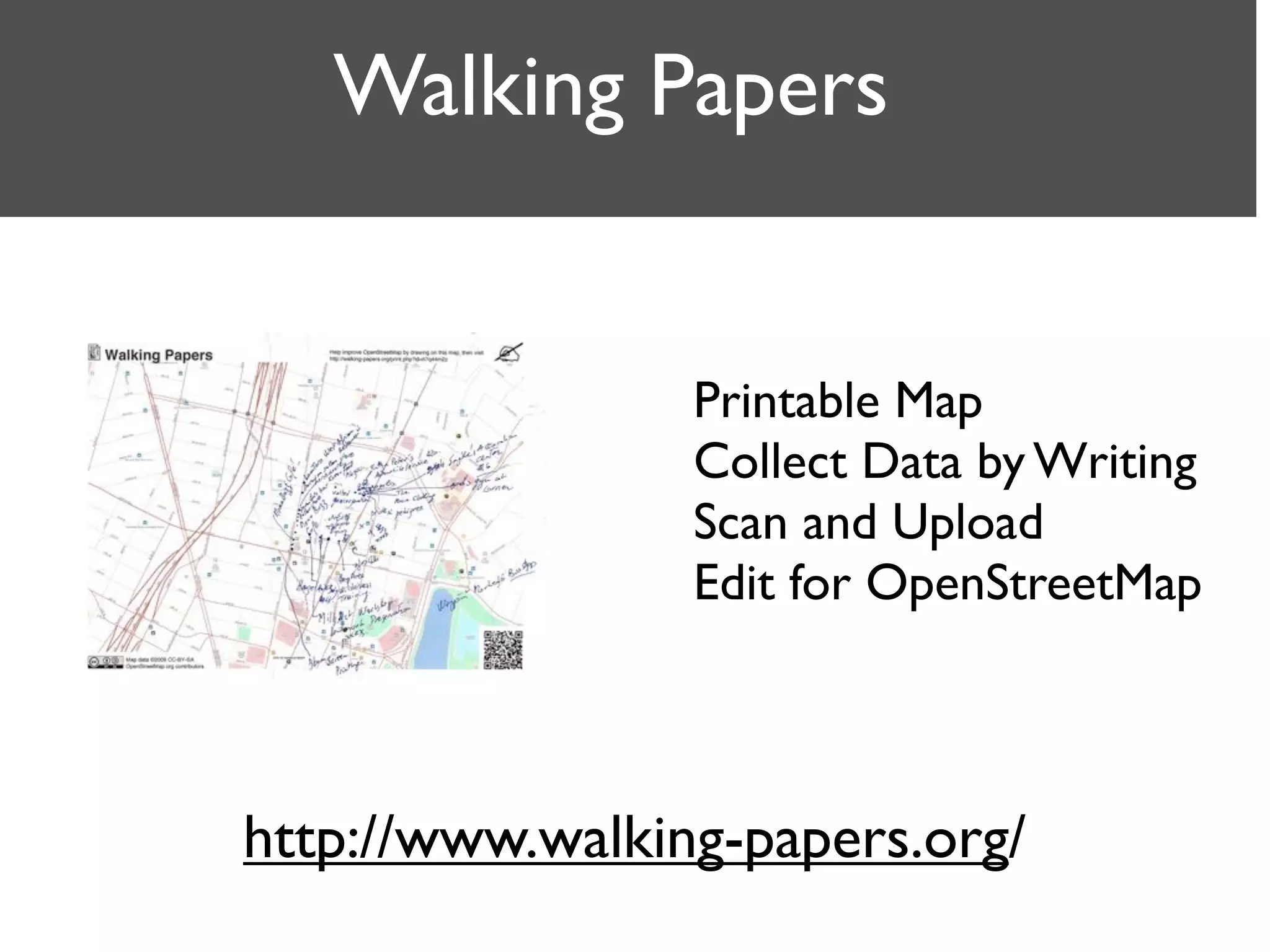
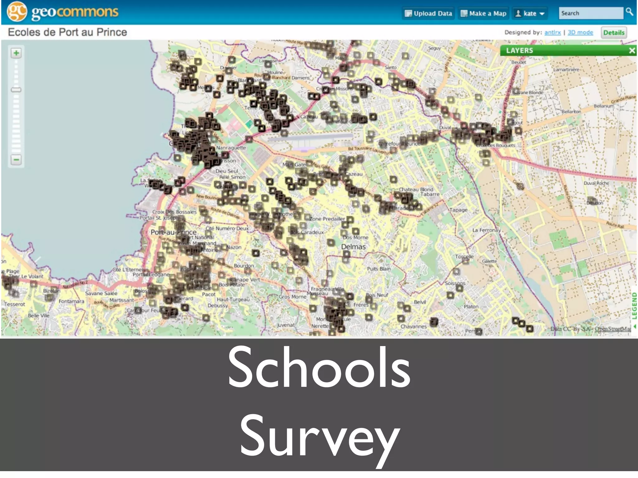
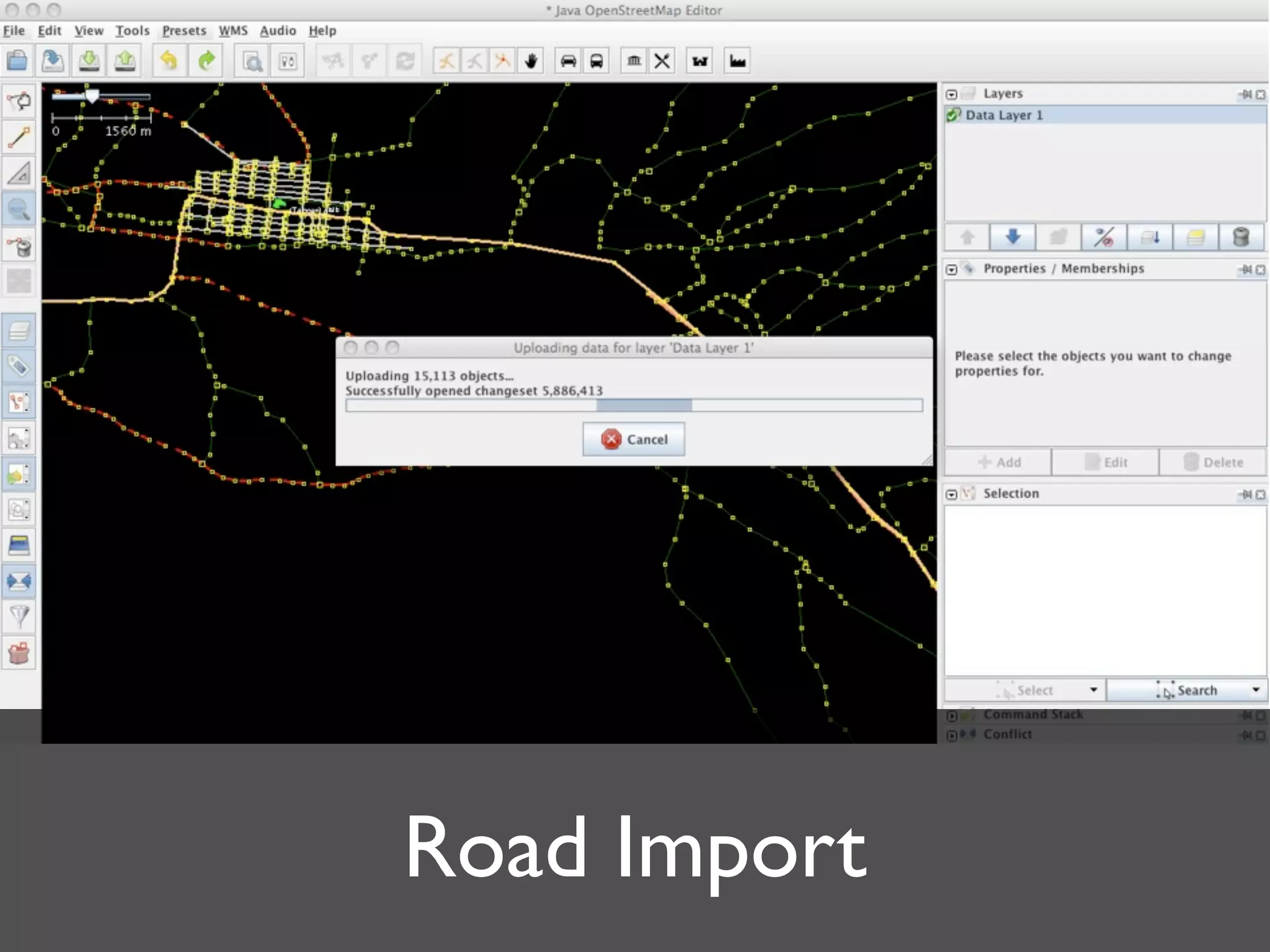
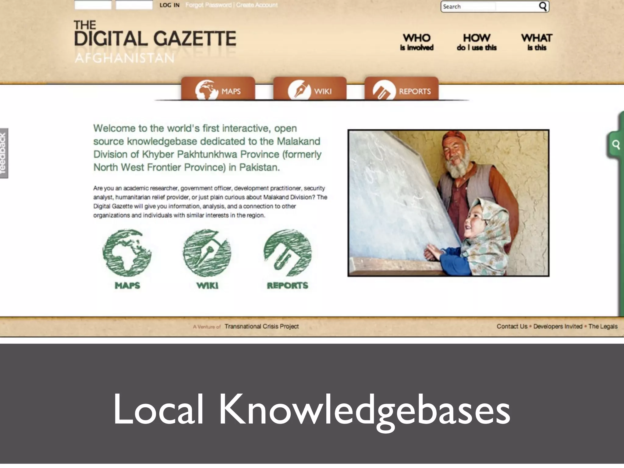
Open Geographic Data
 Haiti, Afghanistan and...

                Kate Chapman
          FortiusOne/GeoCommons
Humanitarian OpenStreetMap Team (AKA H.O.T.)
Wikipedia for Maps
OpenStreetMap.org
Humanitarian OpenStreetMap
           Team

Goal is: to apply the principles and activities of open
source and open data sharing towards humanitarian
response and economic development.
Geographic Data Sharing/
     Visualization
  GeoCommons.com
Haiti


        CC-BY-SA OpenStreetMap
Courtesy of John Crowley STAR-TIDES
What next?
Training
Classes
Instruction         Materials
  -English          -English
  -French           -French
  -Creole
Most Any GPS Will Work

   H.O.T. purchases
  Garmin eTrex with
   MicroSD Cards
Imagery
Walking Papers


                 Printable Map
                 Collect Data by Writing
                 Scan and Upload
                 Edit for OpenStreetMap


http://www.walking-papers.org/
HOT Package


Training Materials
    Software
  Survey Forms
Presets for Editing

http://bit.ly/hotpack
Humanitarian Data Model

 Intended to Map to Already Existing Data Models
Translated into JOSM Presets and PostGIS Imports


        http://bit.ly/hothdm
“A group called the OpenStreetMap team also is
riding motorbikes through the streets of Haiti,
carrying GPS equipment to map schools and
clinics properly so aide workers and locals know
where to get treatment,” -CNN


      http://bit.ly/hotcnn
Schools
Survey
Hurricane Shelters


                     photo courtesy Trevor Ellermann
Jalalabad, Afghanistan


Photo Courtesy Todd Huffman
Kabul in Google Maps
Kabul in OpenStreetMap


CC-BY-SA OpenStreetMap & Contributors
Roads Imported
Road Import
Local Knowledgebases
Kate Chapman
@wonderchook
kate@fortiusone.com

Open Geographic Data Haiti, Afghanistan and...