
Recommended
More Related Content
What's hot
What's hot (20)
Viewers also liked
Viewers also liked (19)
Similar to LSxCafe Swtich2OSM.org talk
Similar to LSxCafe Swtich2OSM.org talk (20)
More from chippy
More from chippy (20)
Recently uploaded
Recently uploaded (20)
LSxCafe Swtich2OSM.org talk
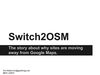
- 1. Switch2OSM The story about why sites are moving away from Google Maps. Tim Waters tim@geothings.net @tim_waters
- 2. Switch2OSM
- 5. StreetEasy
- 12. Why? Push, Pull, other reasons?
- 13. Push Google Pricing Model Anonymous Site: $10 per 1000 page views. But no one pays that, of course. If you don't get a contract, then above the first free 25,000 views, you pay $4 per 1000. And we got them to quote us to about $2, maybe $1.80. In our case, that meant paying $200,000-$400,000 a year for maps. Geocaching: 2,000,000 google map hits a day. Around $1 Million a year Taking traffic away from Google Foursquare - competition? Styling limited Not much value add
- 14. Pull Prettier maps. More freedom with source data. Up to date maps. More detailed maps - (footpaths, cyclepaths) Cheaper Open source & data supporter Place database - foursquare?
- 15. Other reasons? Value of the basemap To become OSM trusted company - have a say To leverage users to improve OSM and improve product. place db?
- 16. Google is good! Conferences OpenStreetMap Servers Google Summer of Code
- 17. Google Mapmaker Not global (No UK) No data Not properly free
- 18. OpenStreetMap OpenStreetMap is a free editable map of the whole world. It is made by people like you. OpenStreetMap allows you to view, edit and use geographical data in a collaborative way from anywhere on Earth
- 19. How?
- 21. Do It Yourself. For example: Tiles from Mapquest Showing Tiles in OpenLayers / Leaflet OR Get Data. Get Mapnik Create stylesheet Make tiles
- 24. Toolkits - TileDrawer EC2 AMI
- 25. Tookits - MapBox
- 26. Tookits - MapBox
- 29. Others MapQuest - Tile host CloudMade - Map style editor GeoFabrik Dev Seed Stamen me
- 30. Switch2OSM.org Why Switch Case Studies Basics Using Tiles Serving Tiles Providers Geocoding Routing Tim Waters tim@geothings.net @tim_waters