Download as ZIP, PPTX


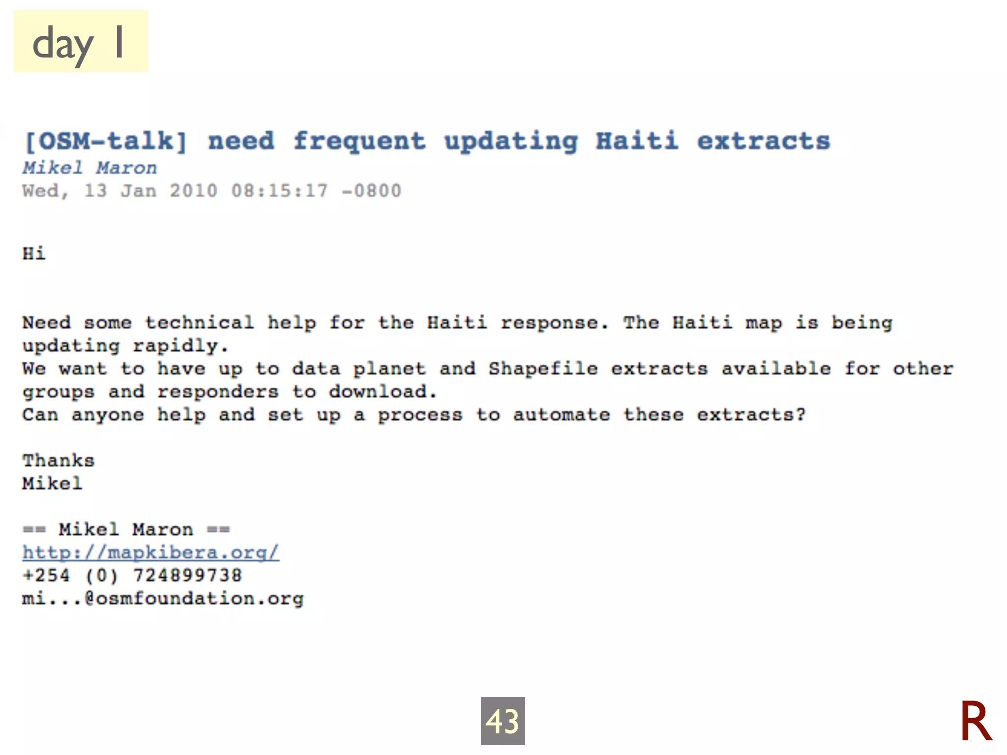
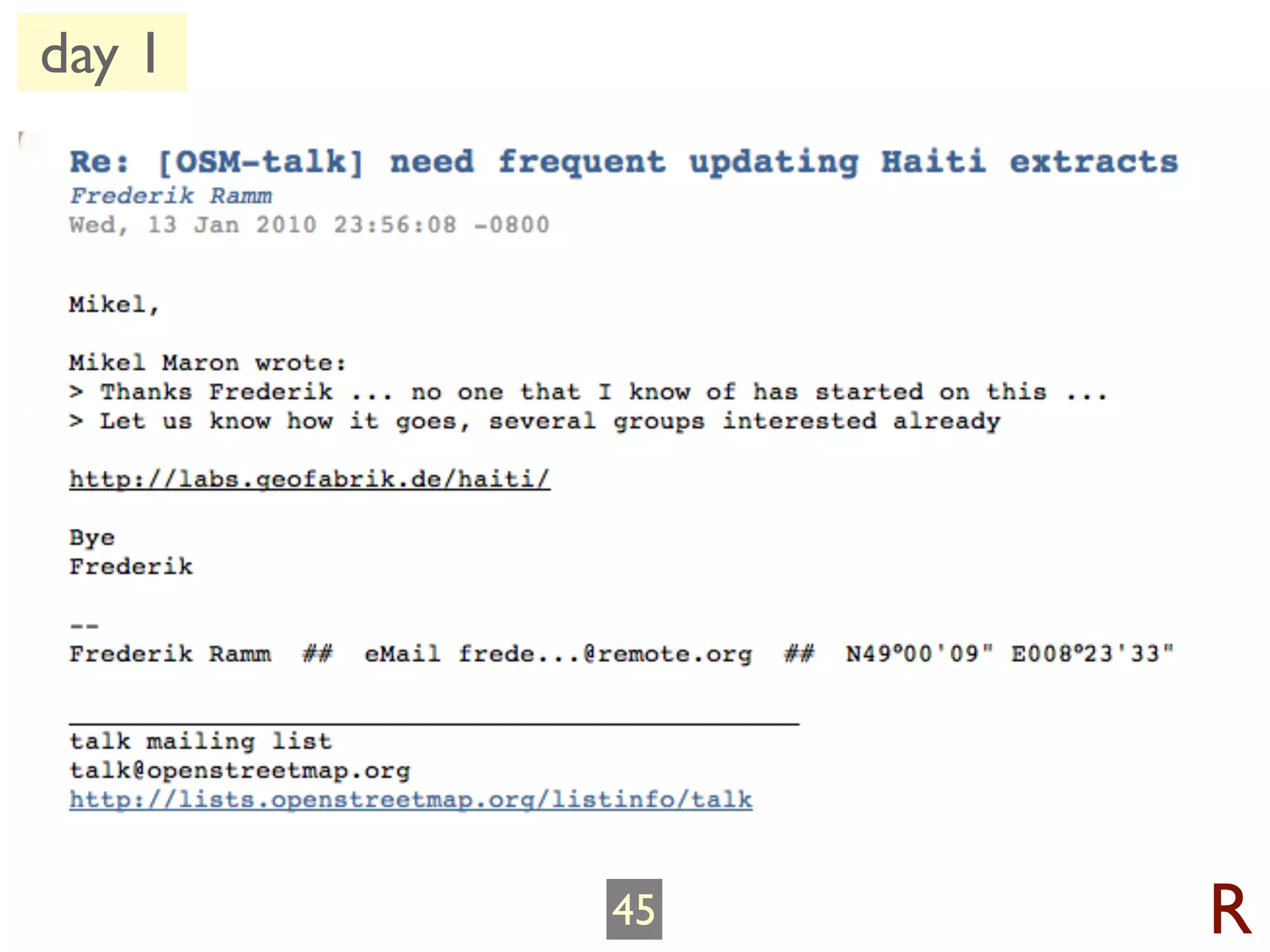
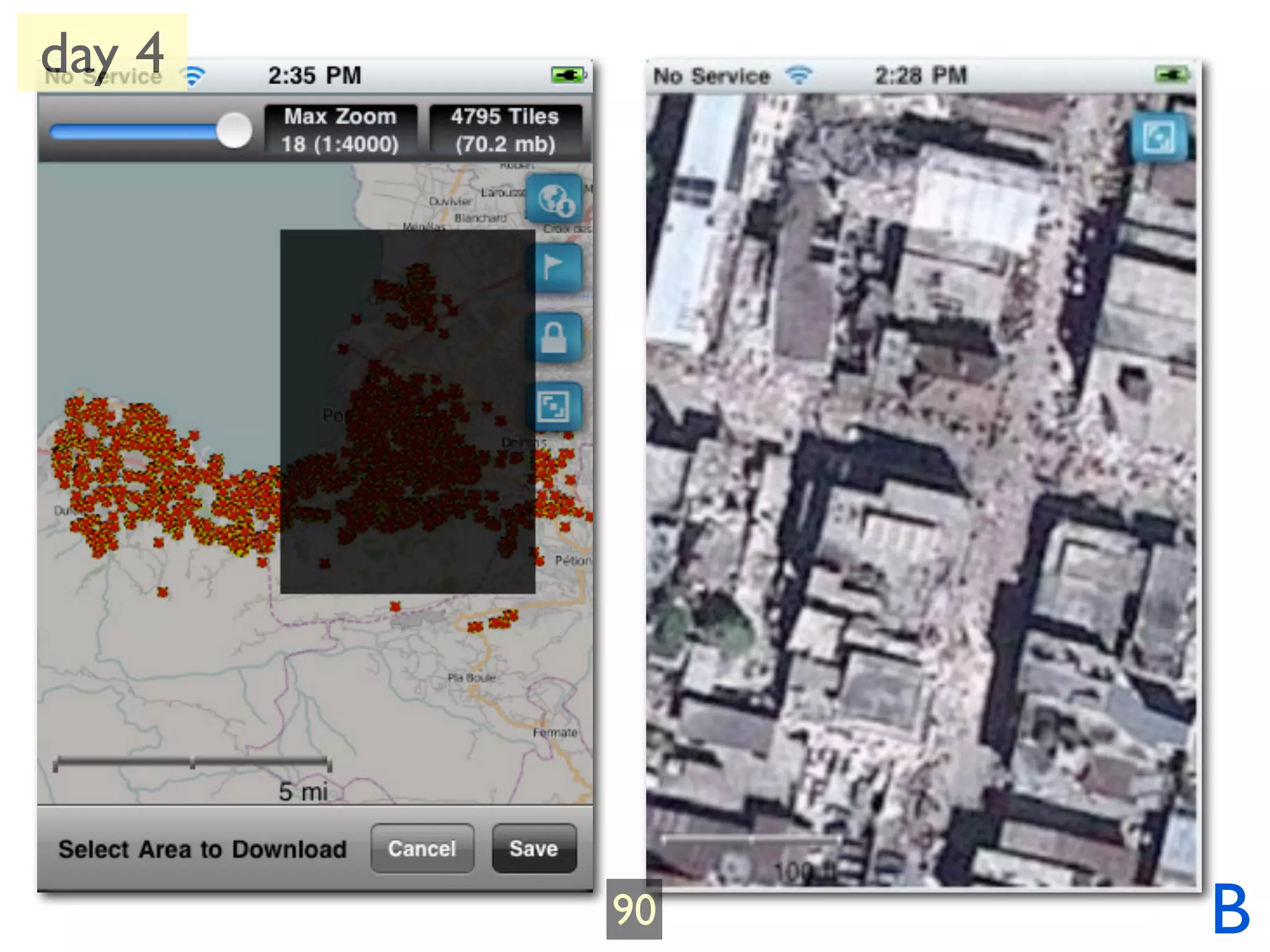
![day 1
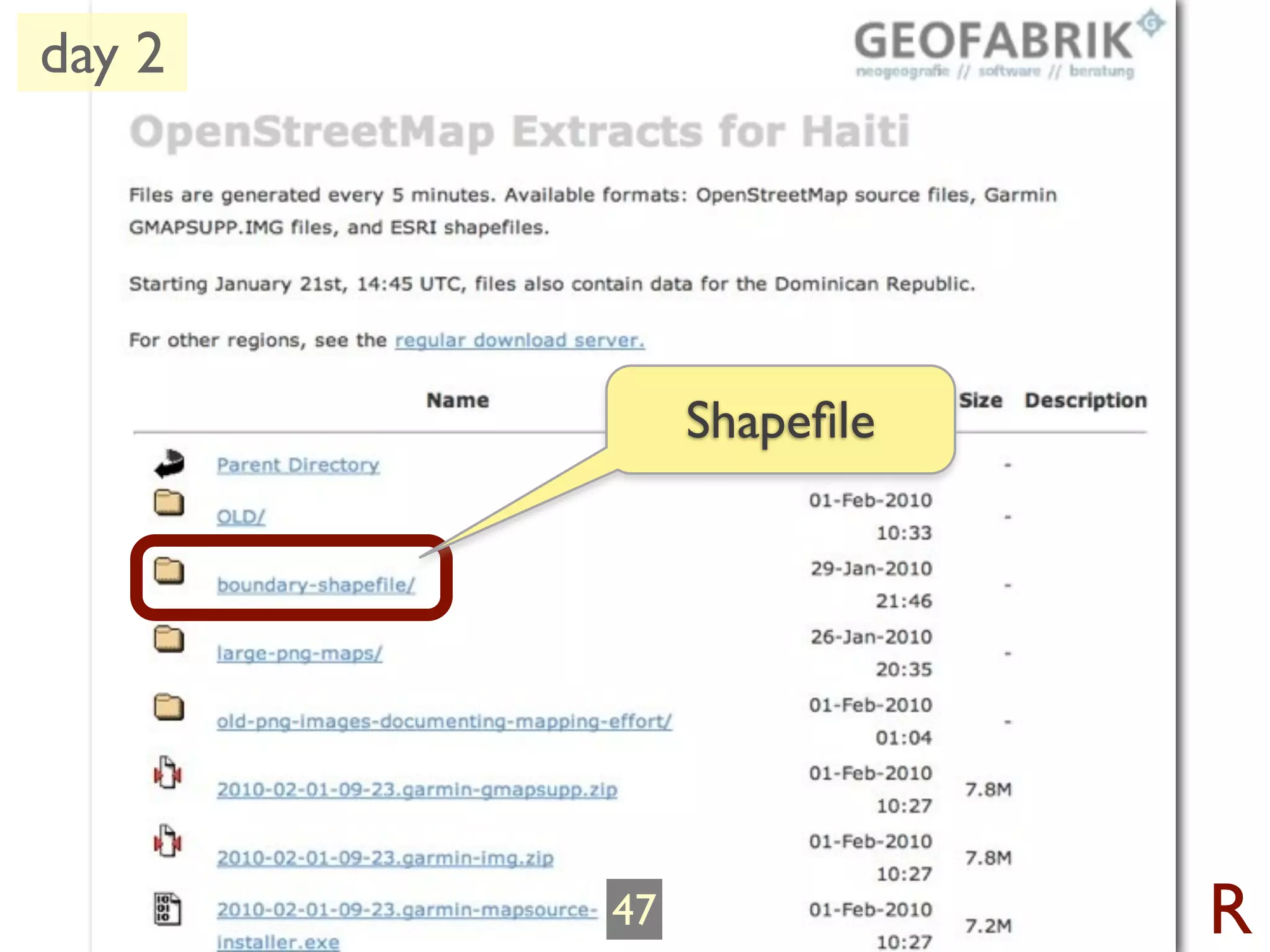
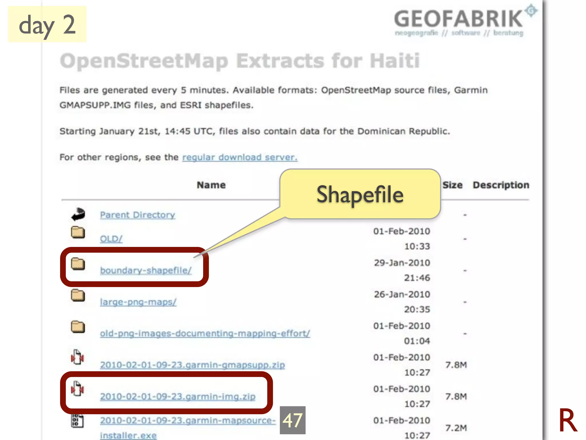
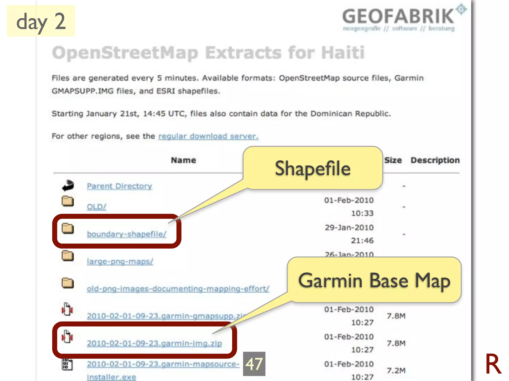
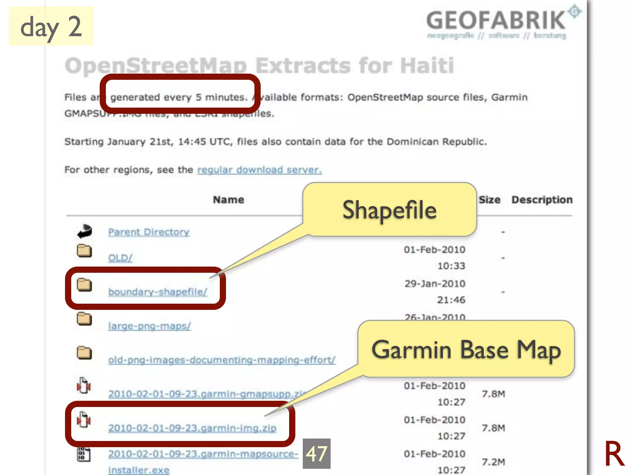
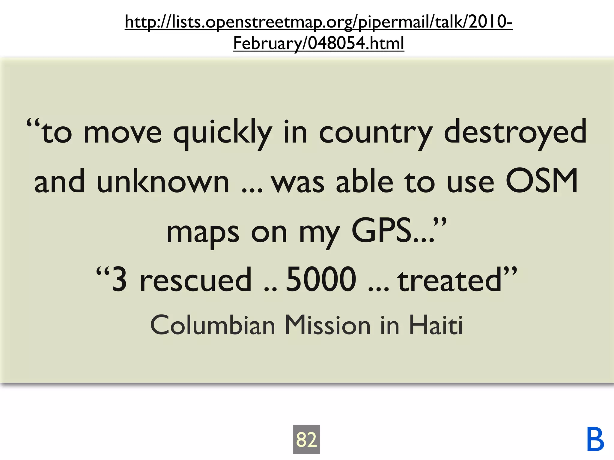
Request: “[Latest] Shapefiles for
download”
44 R](https://image.slidesharecdn.com/haitiquakepublic-key-100328150802-phpapp02/75/OpenStreetMap-Response-to-Haiti-earthquake-48-2048.jpg)


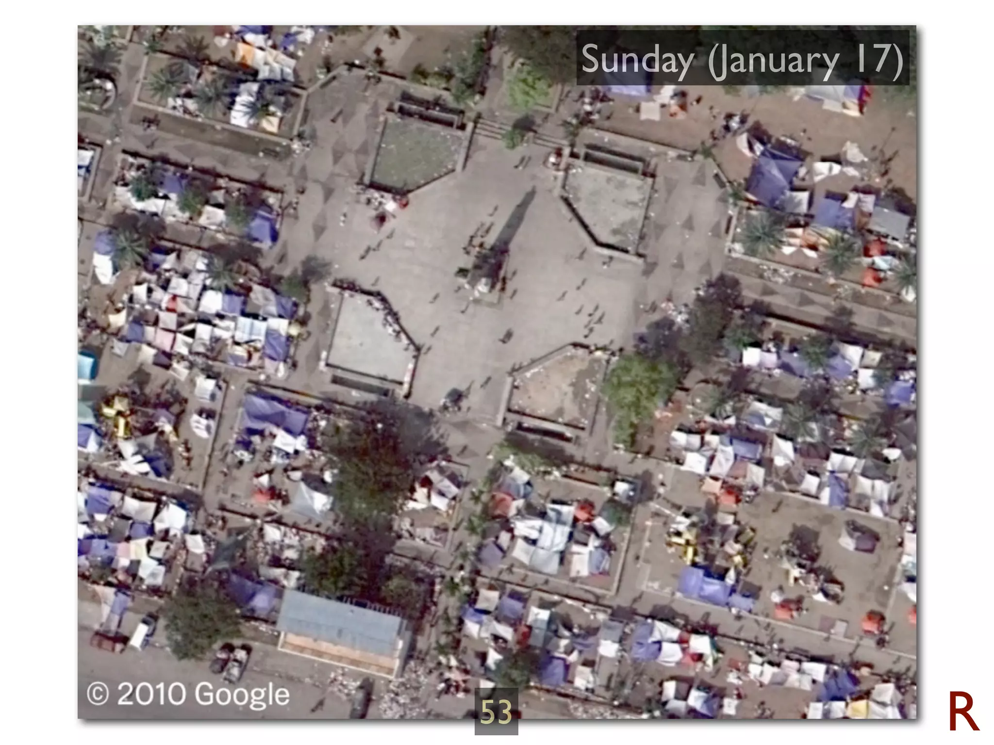

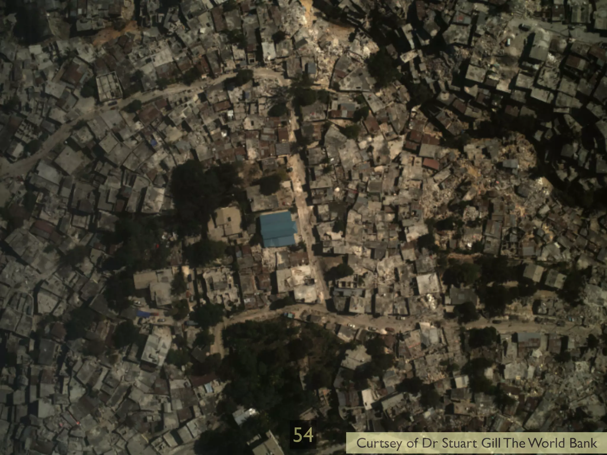
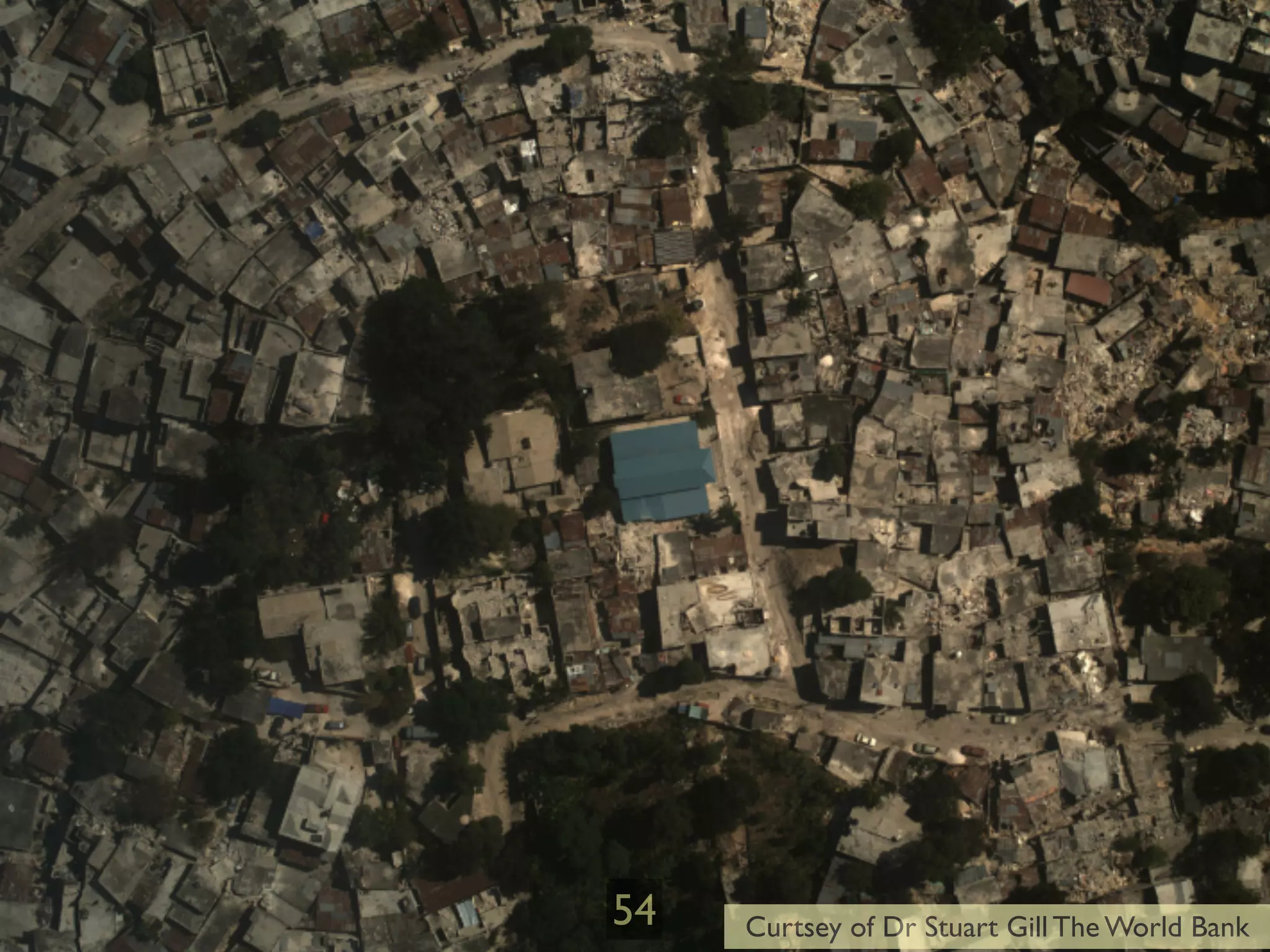
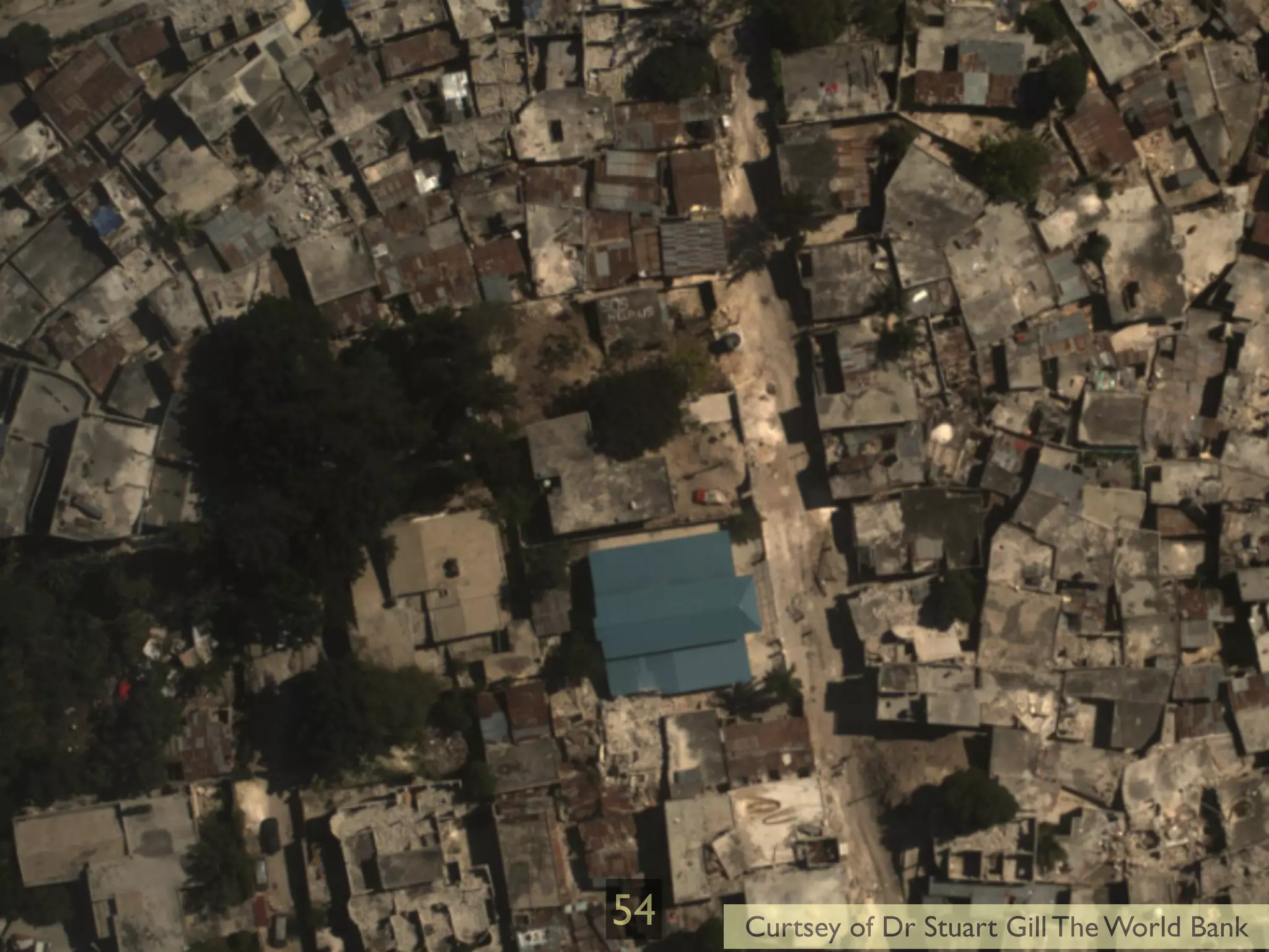
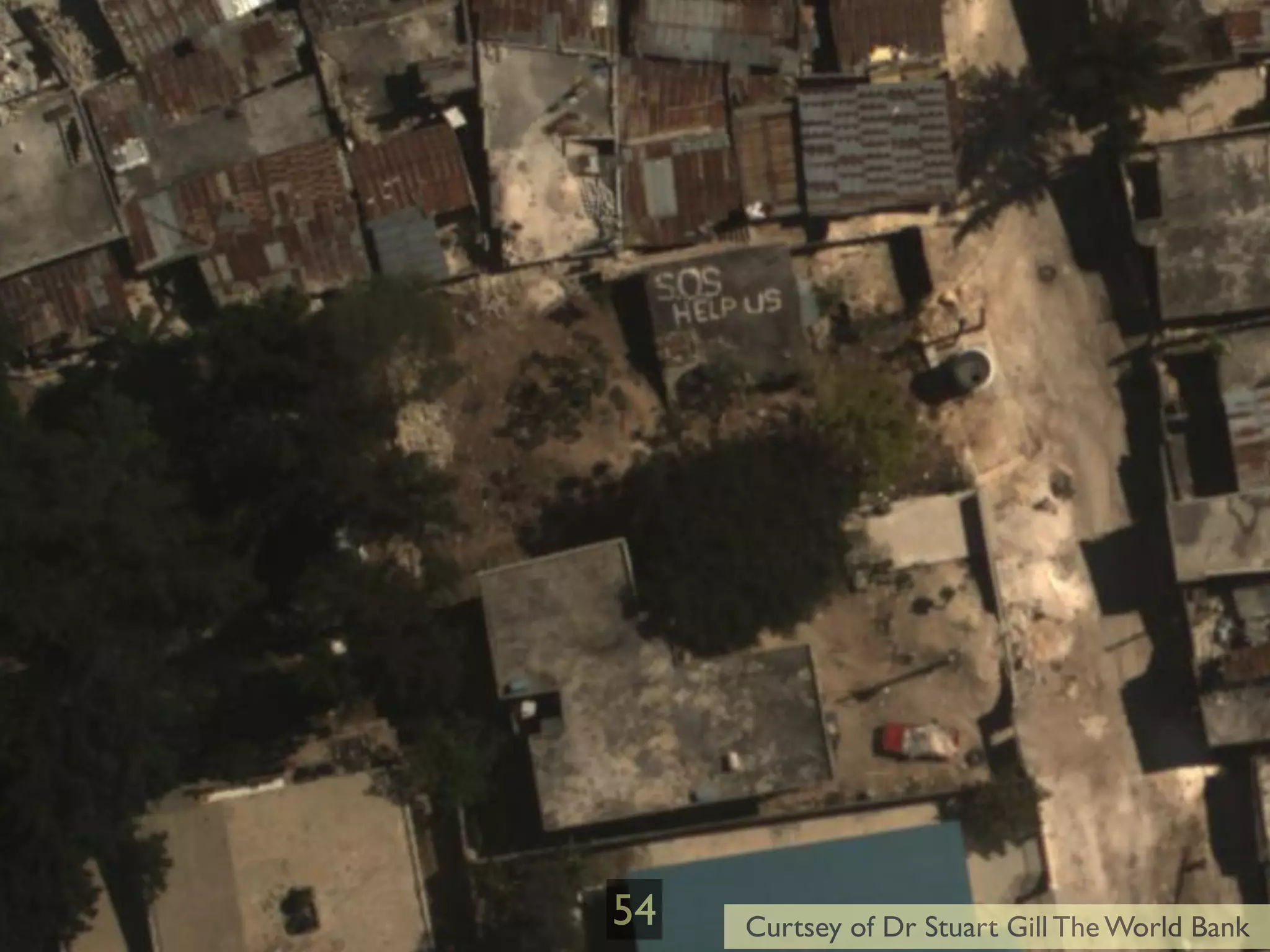

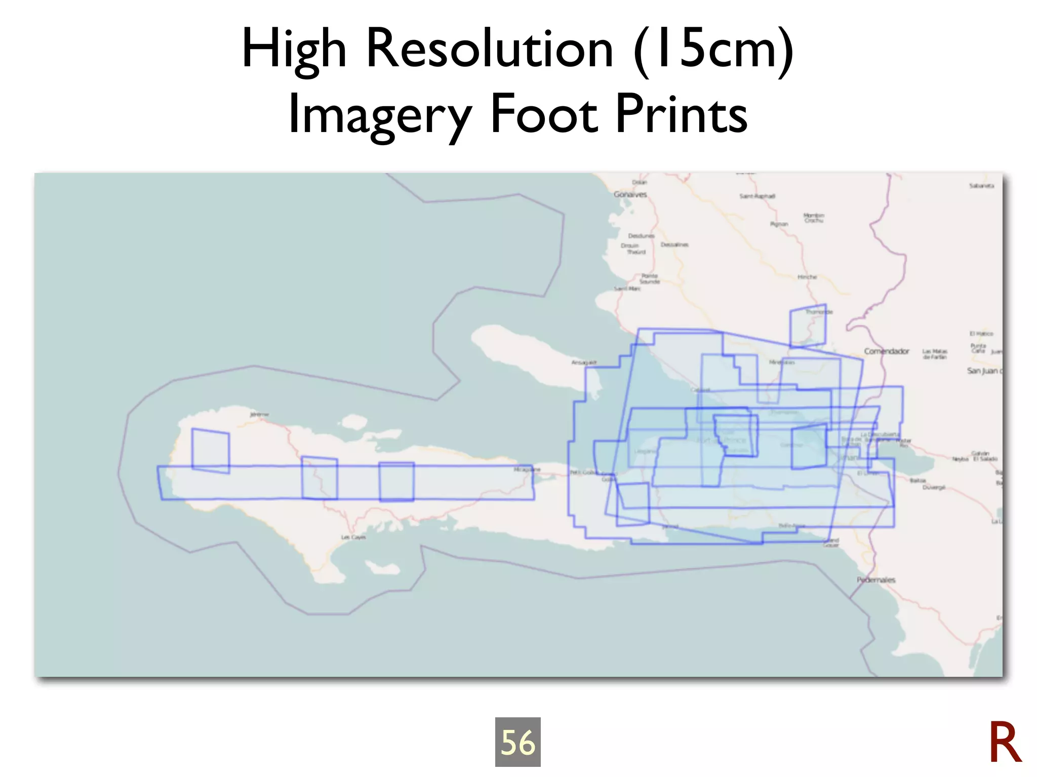


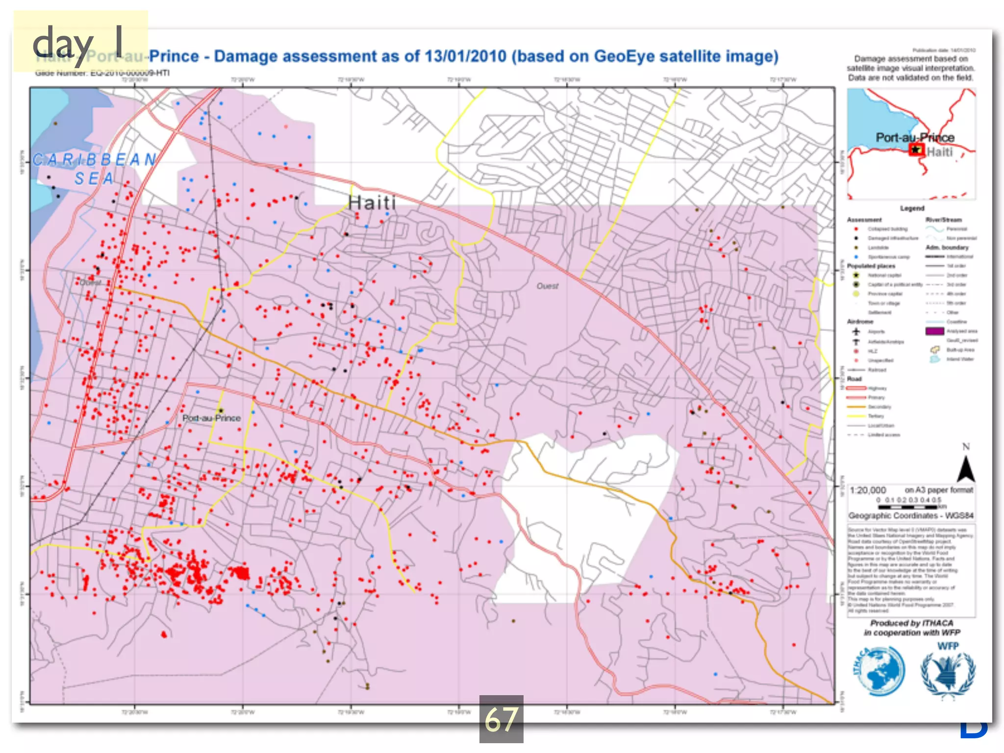
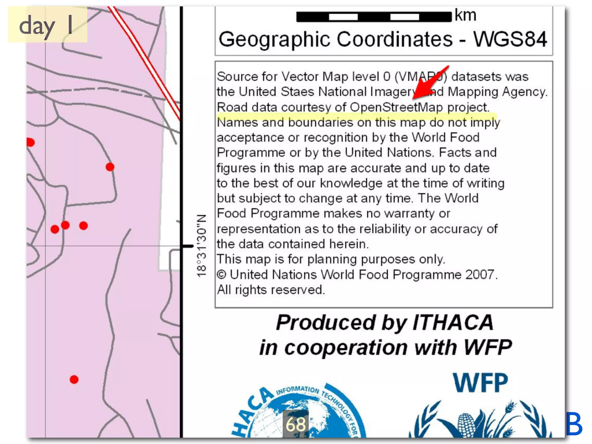
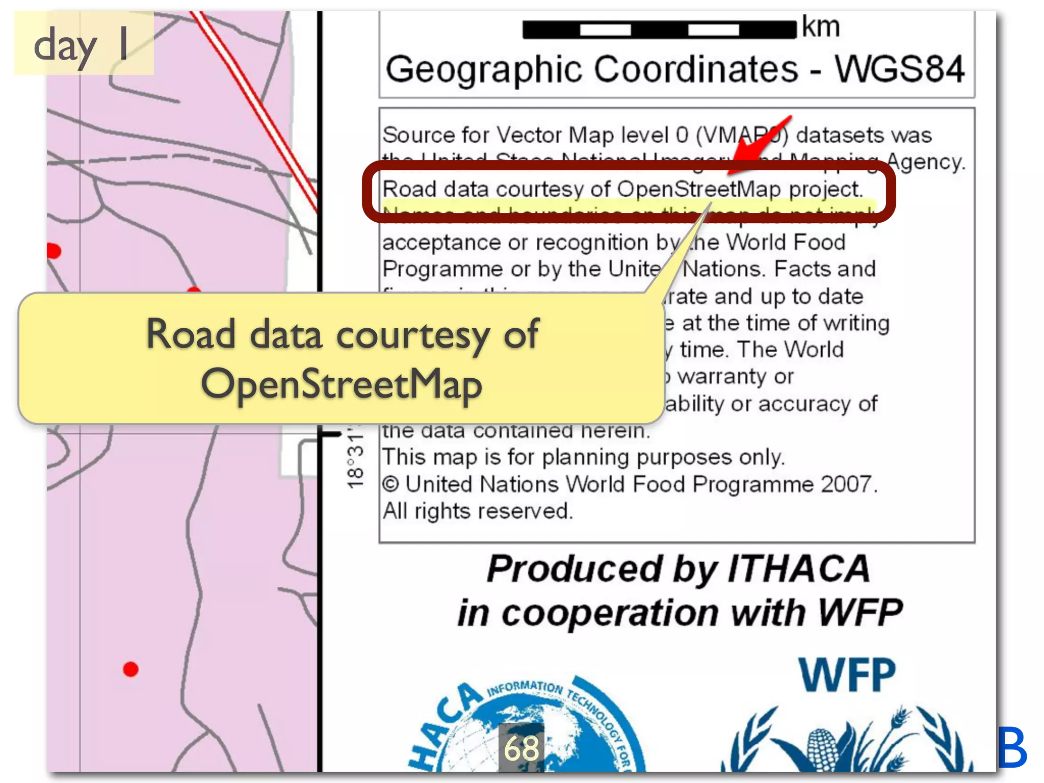
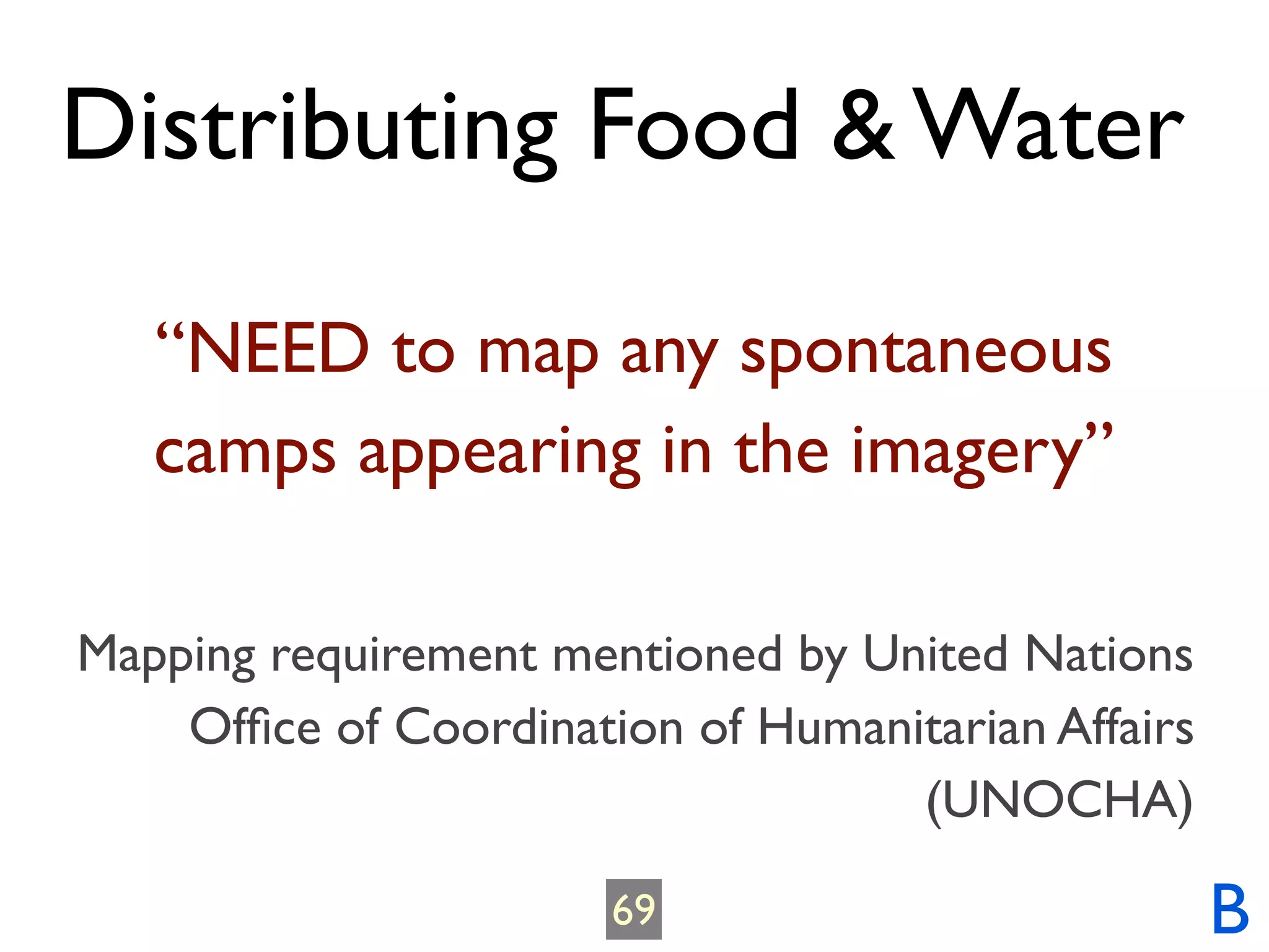
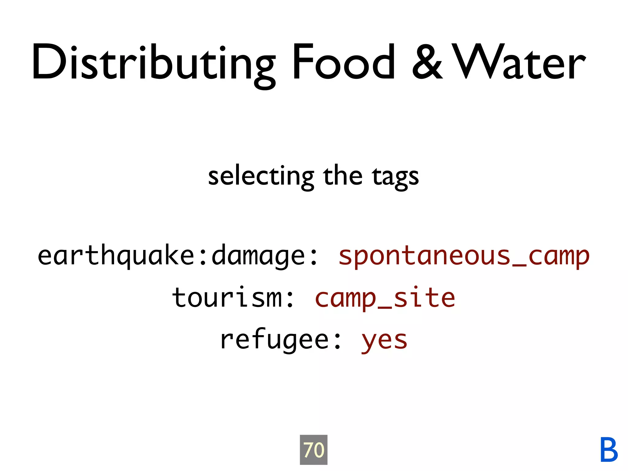

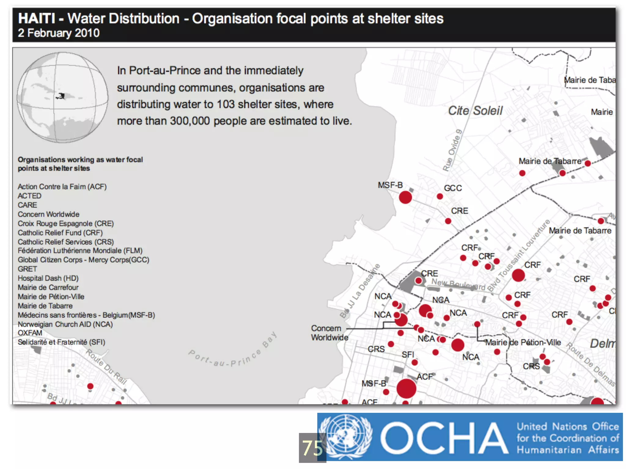
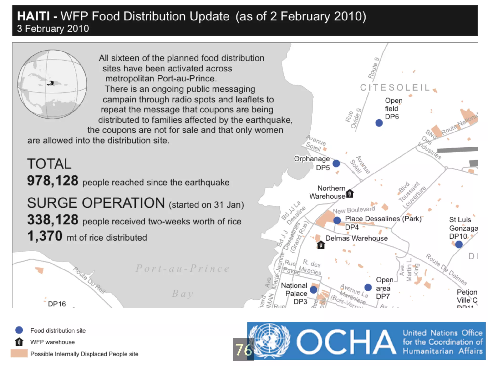

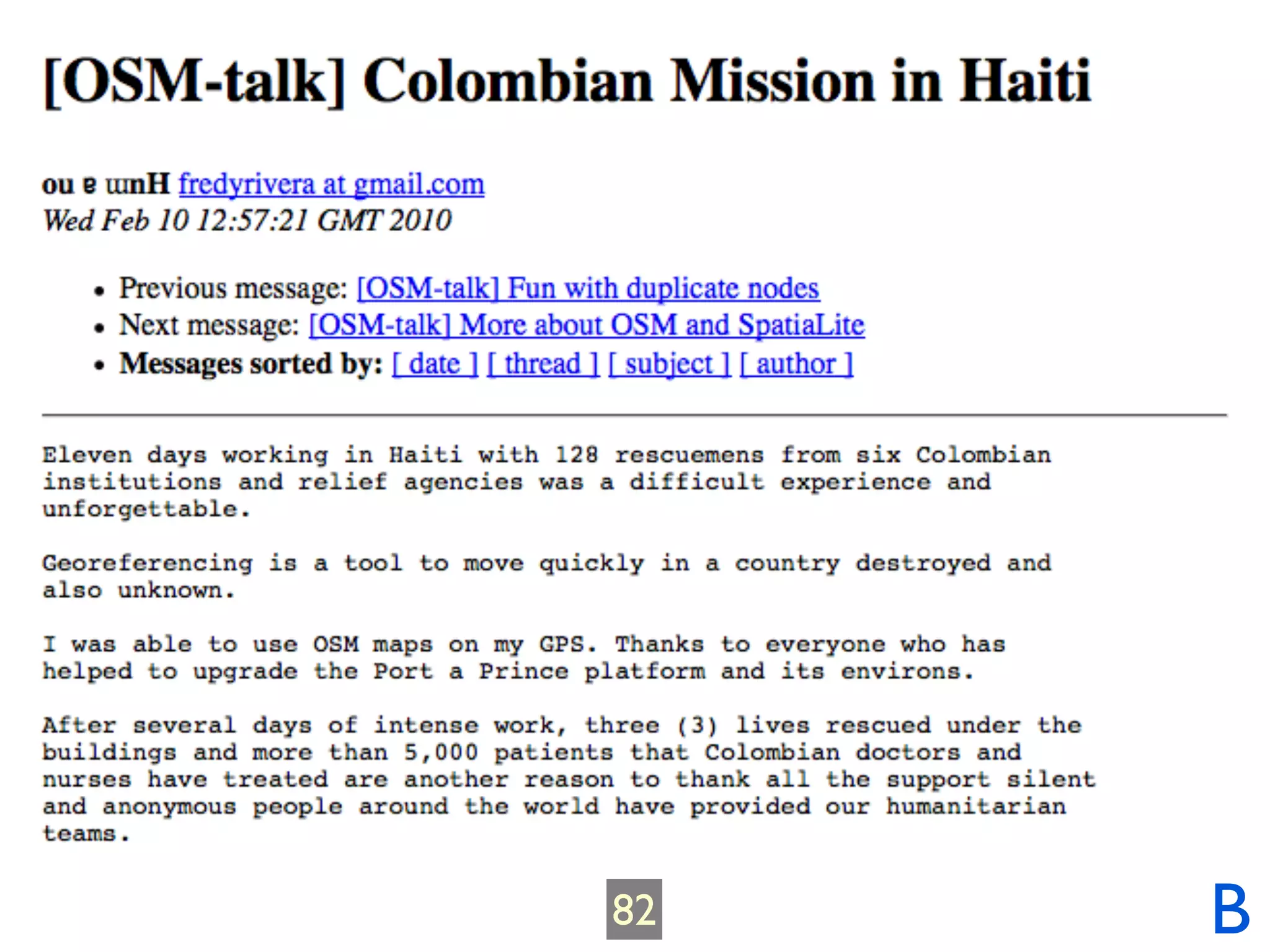


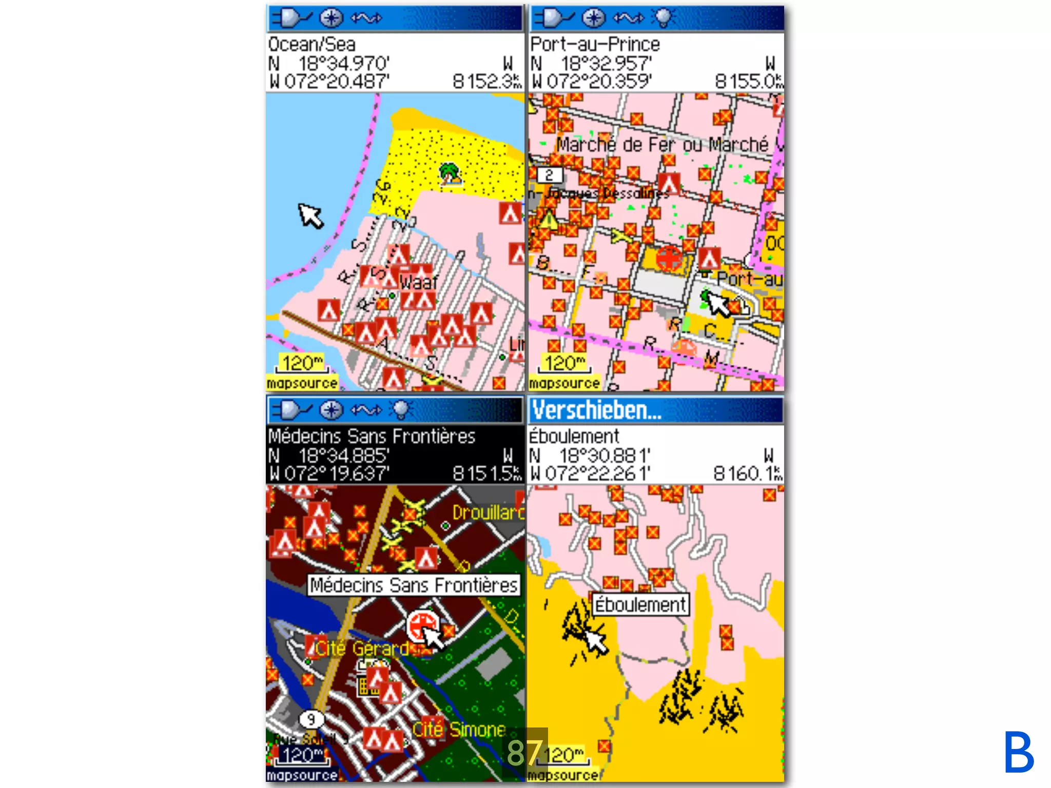
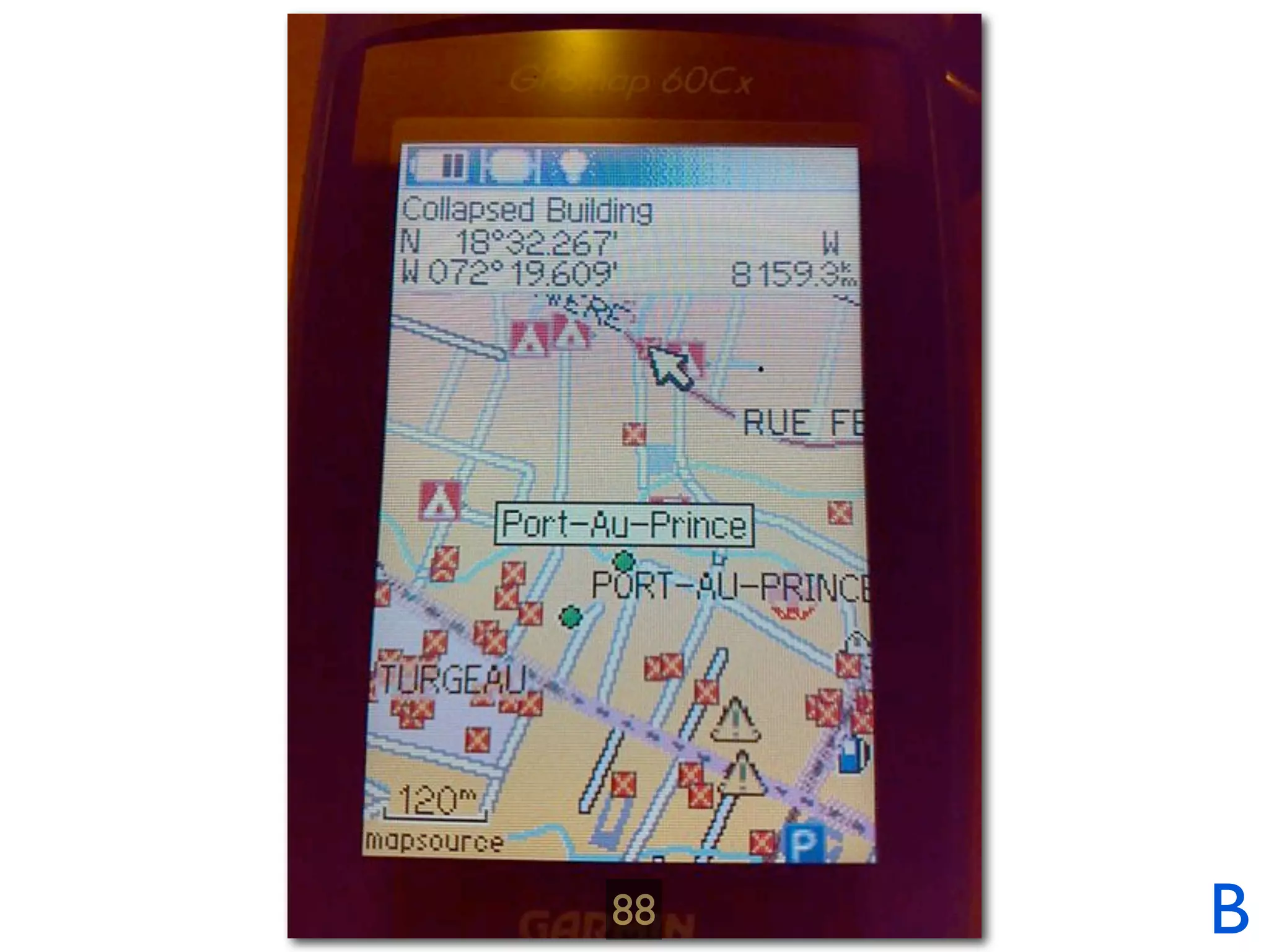


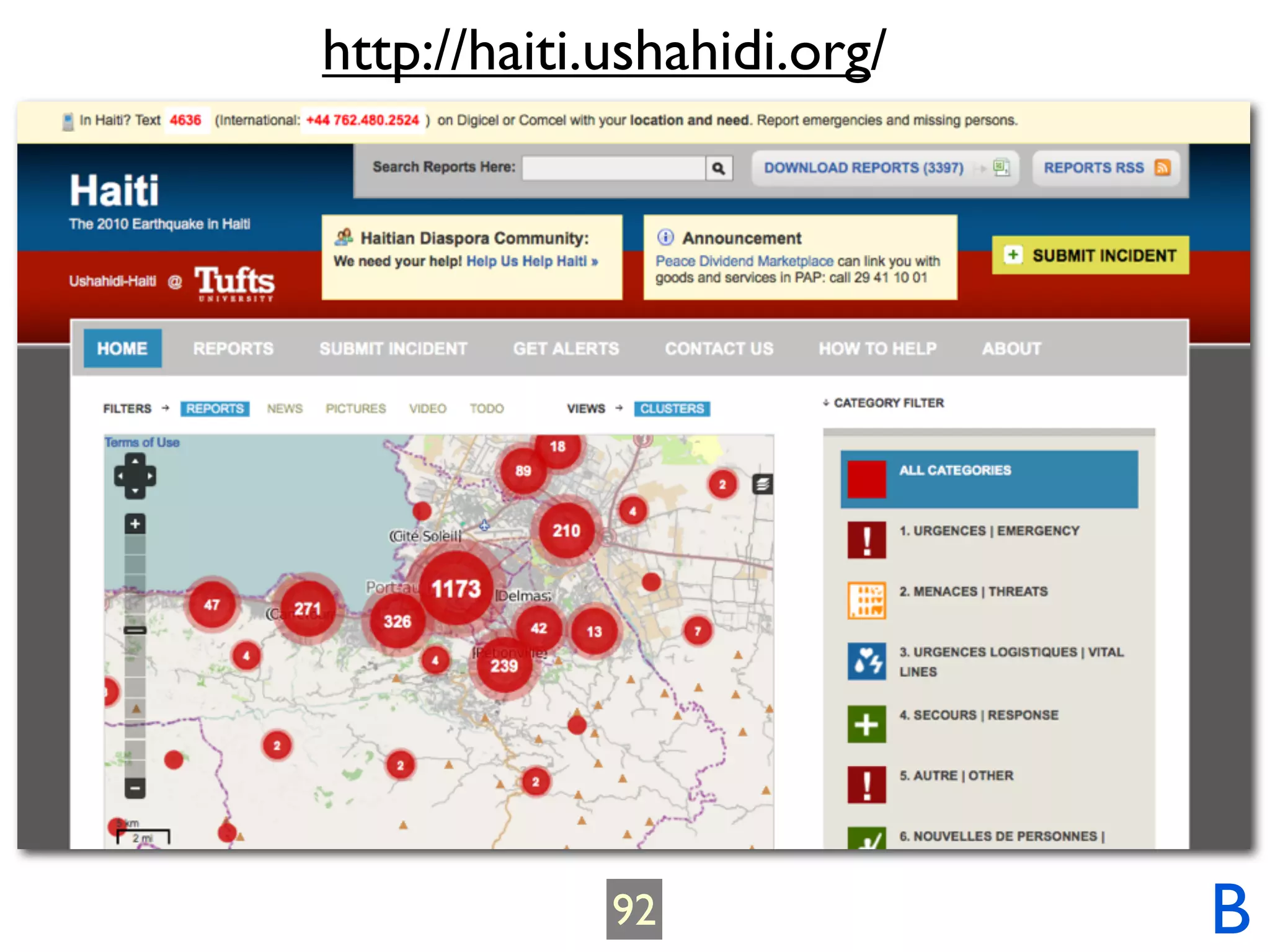

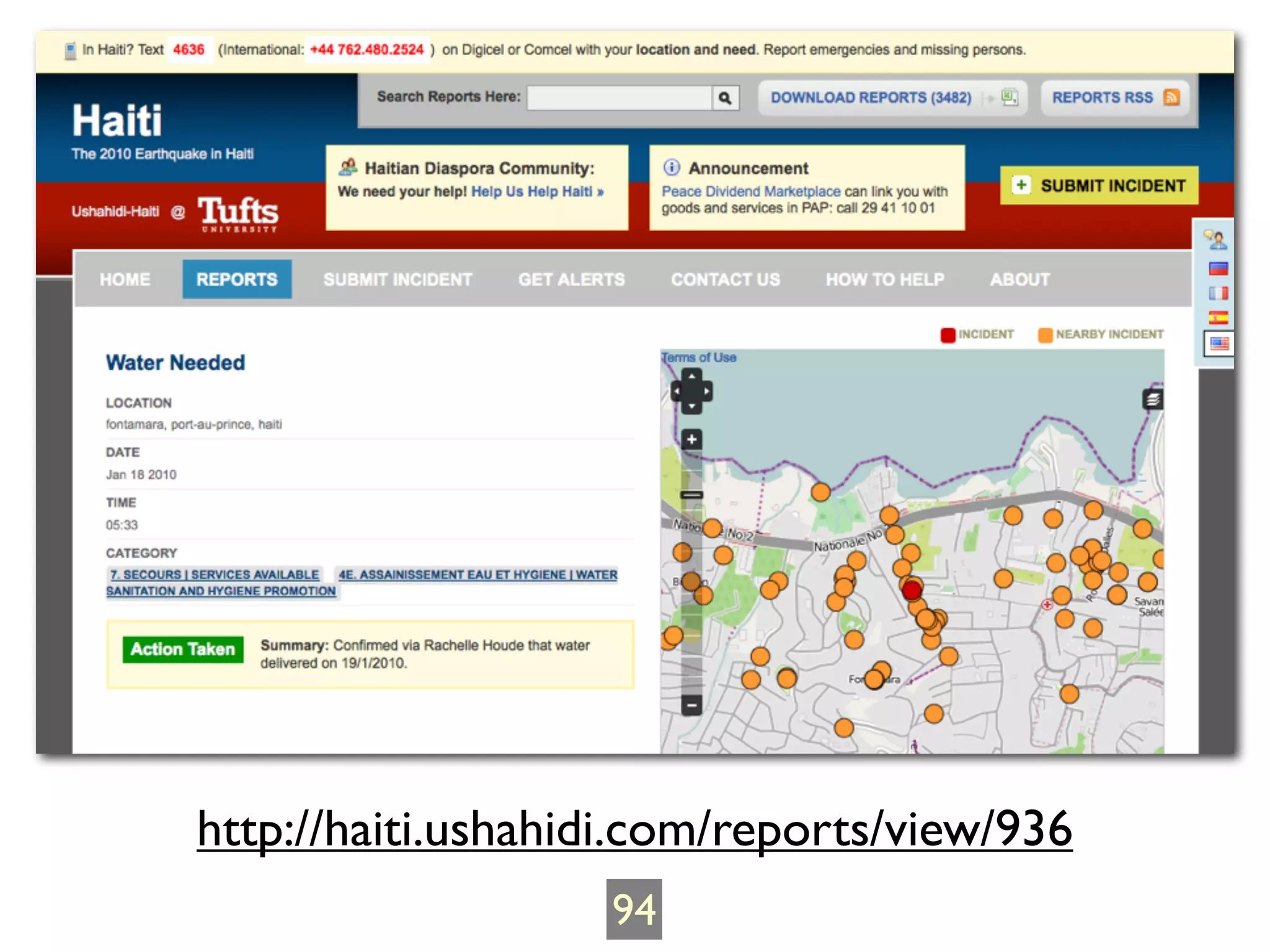
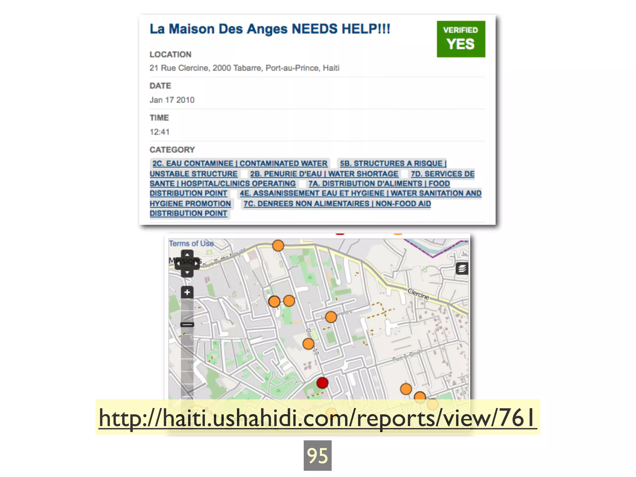


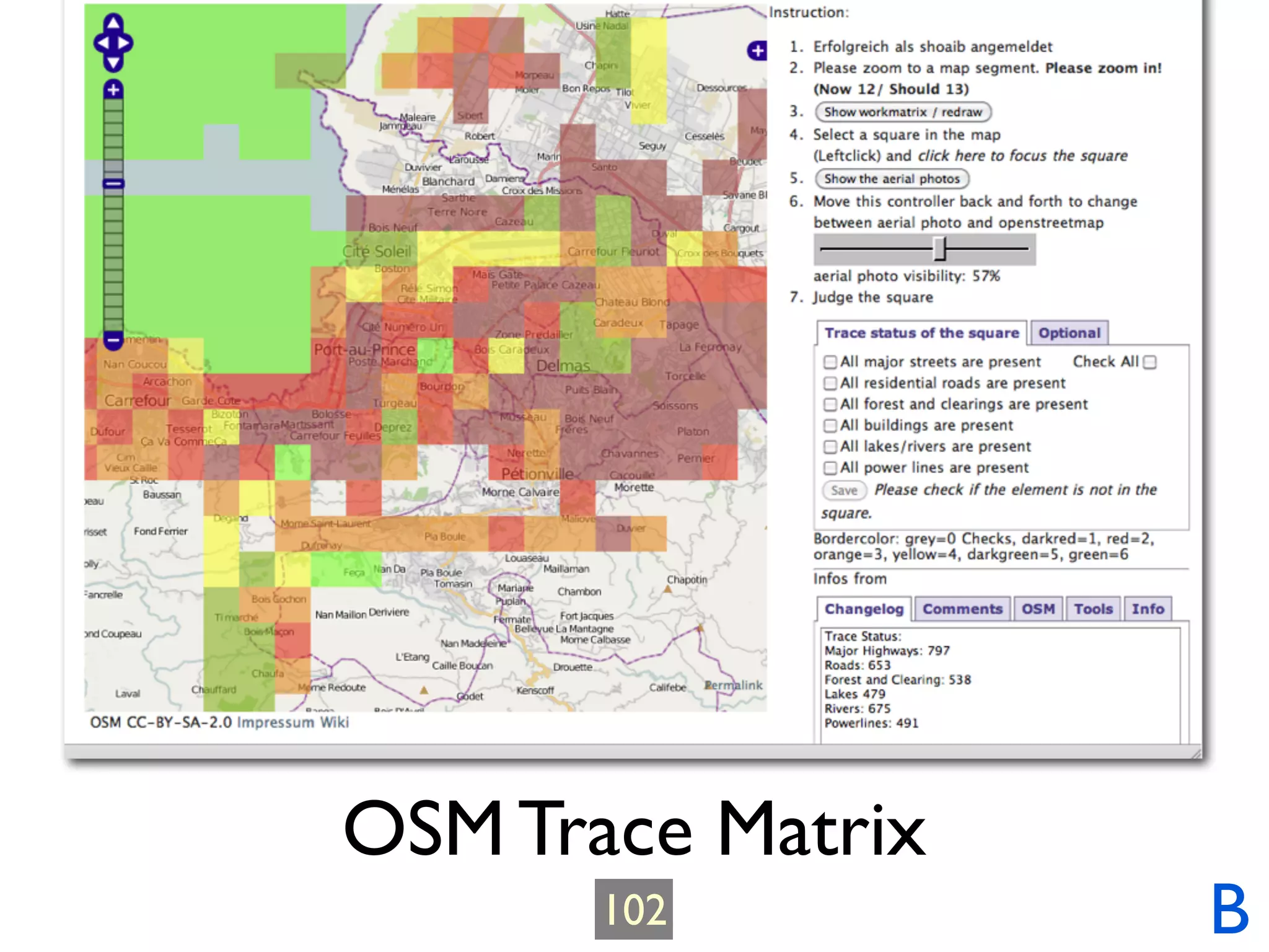
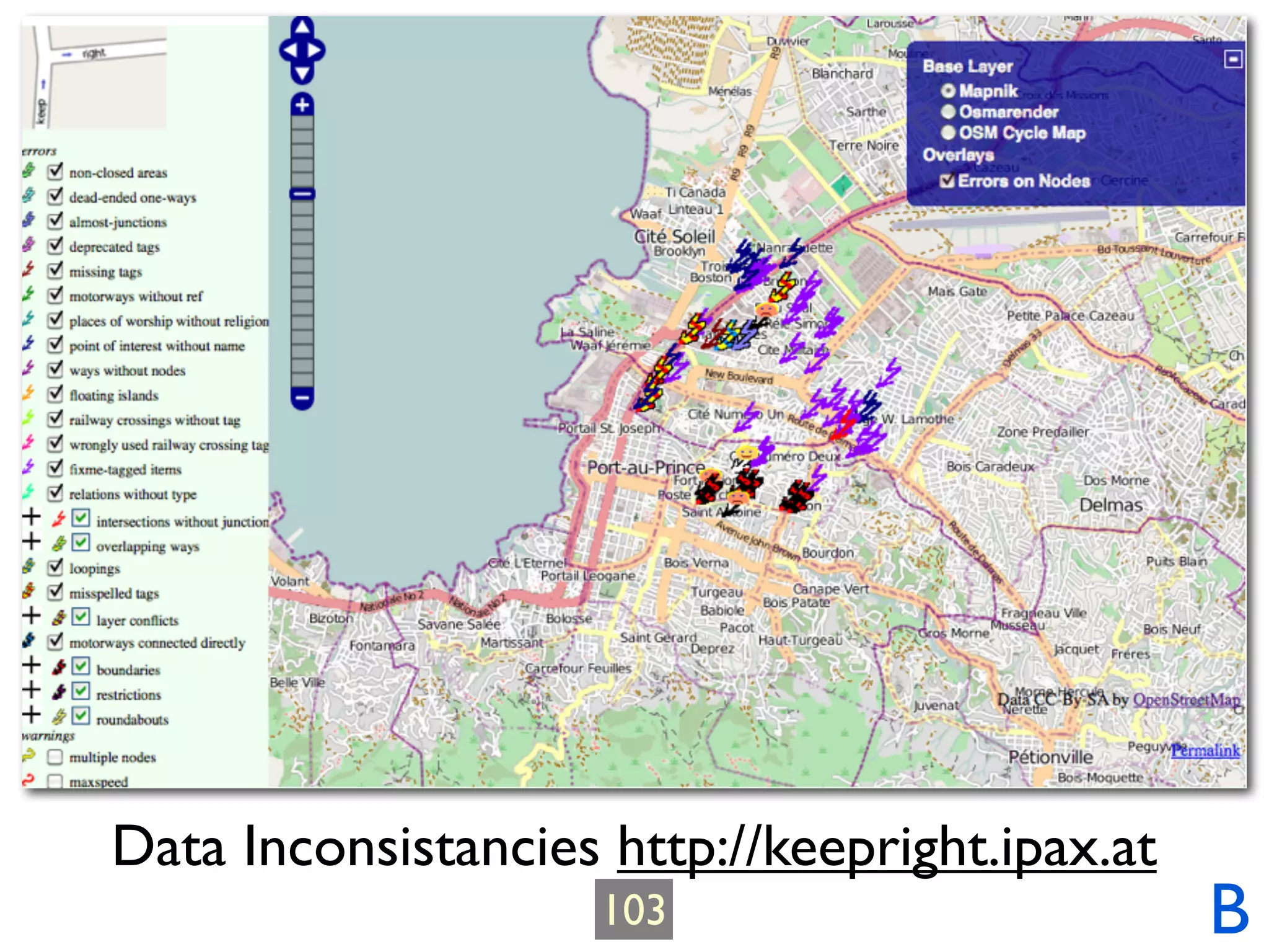
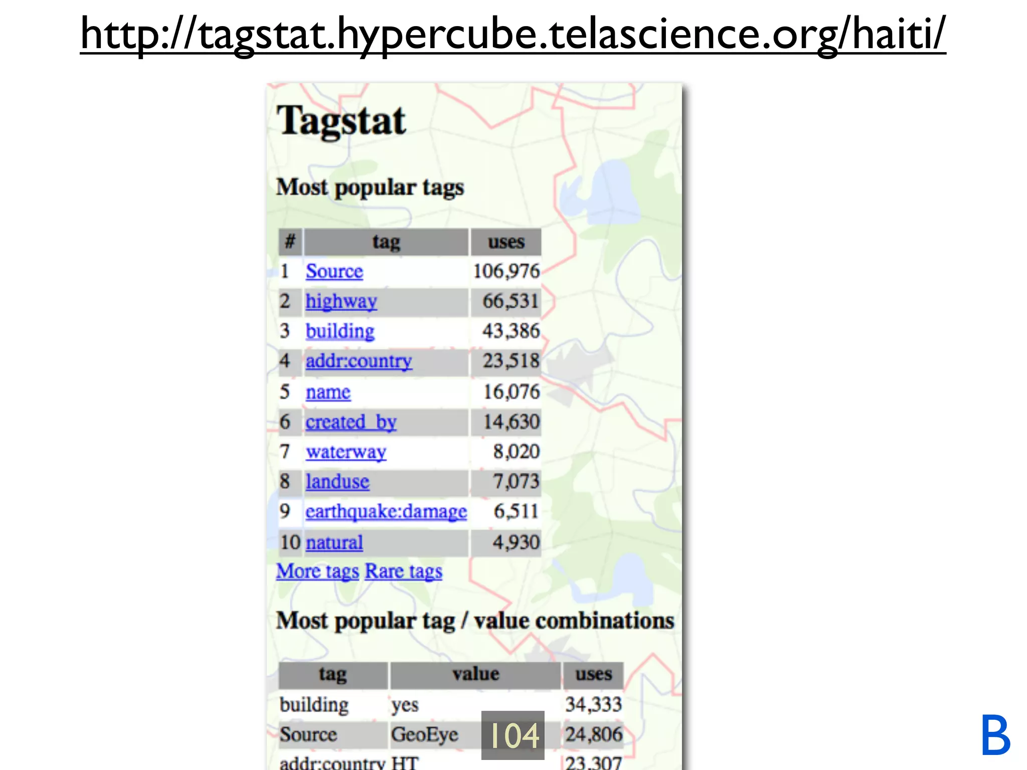

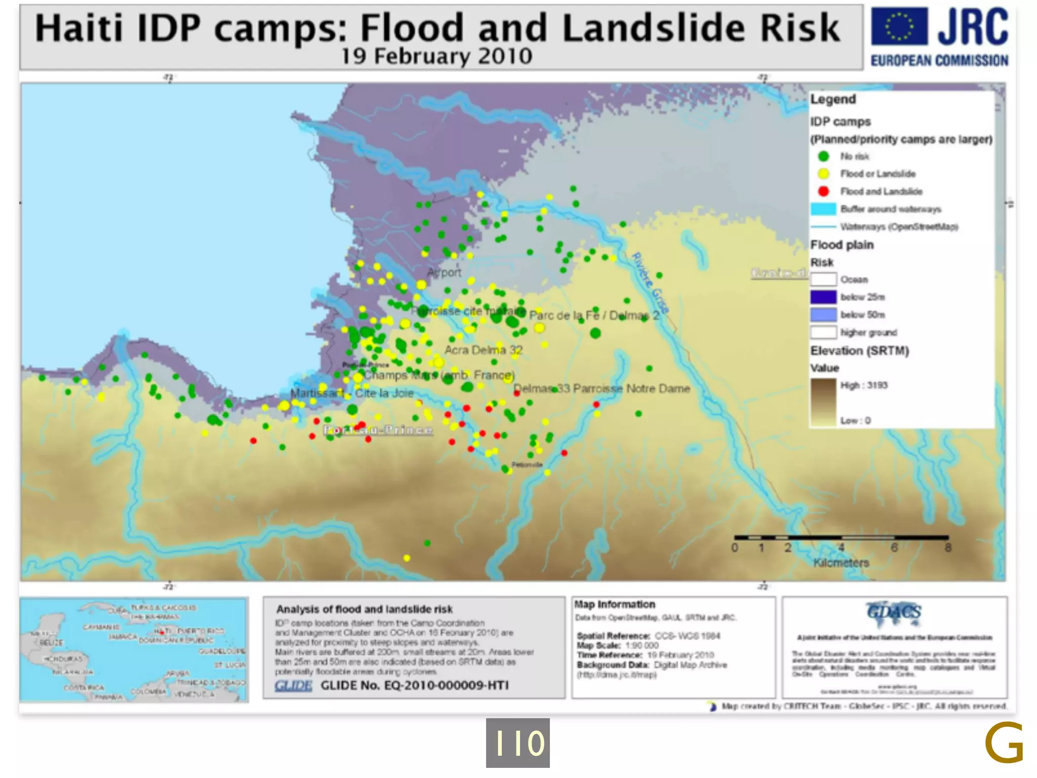


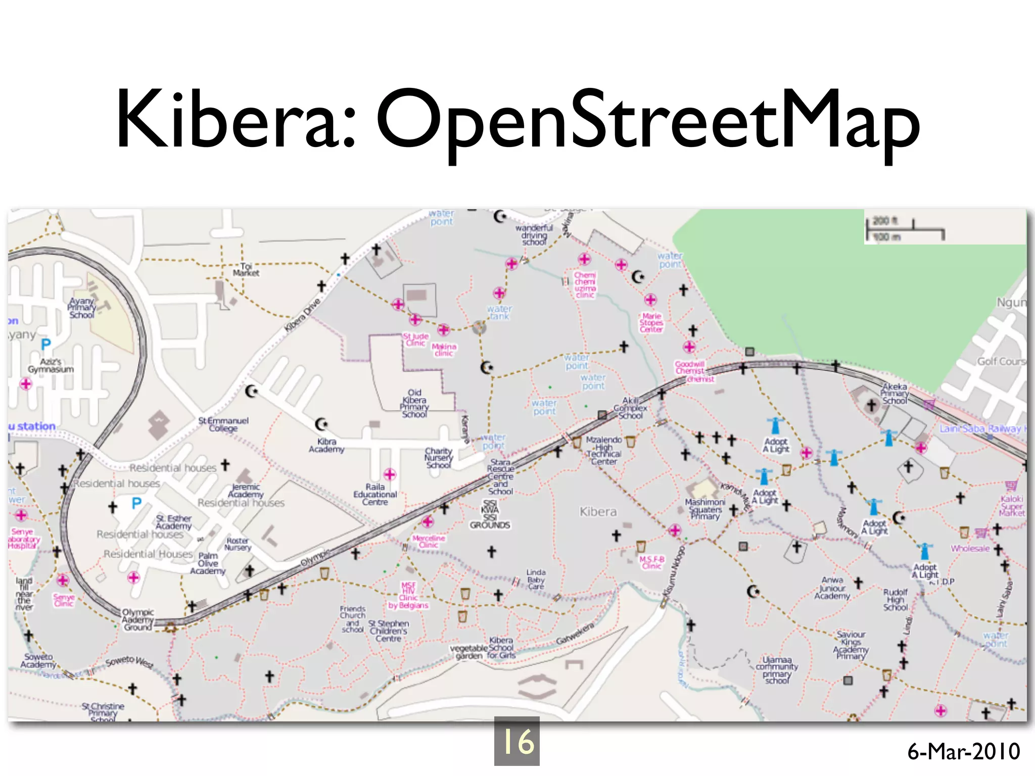
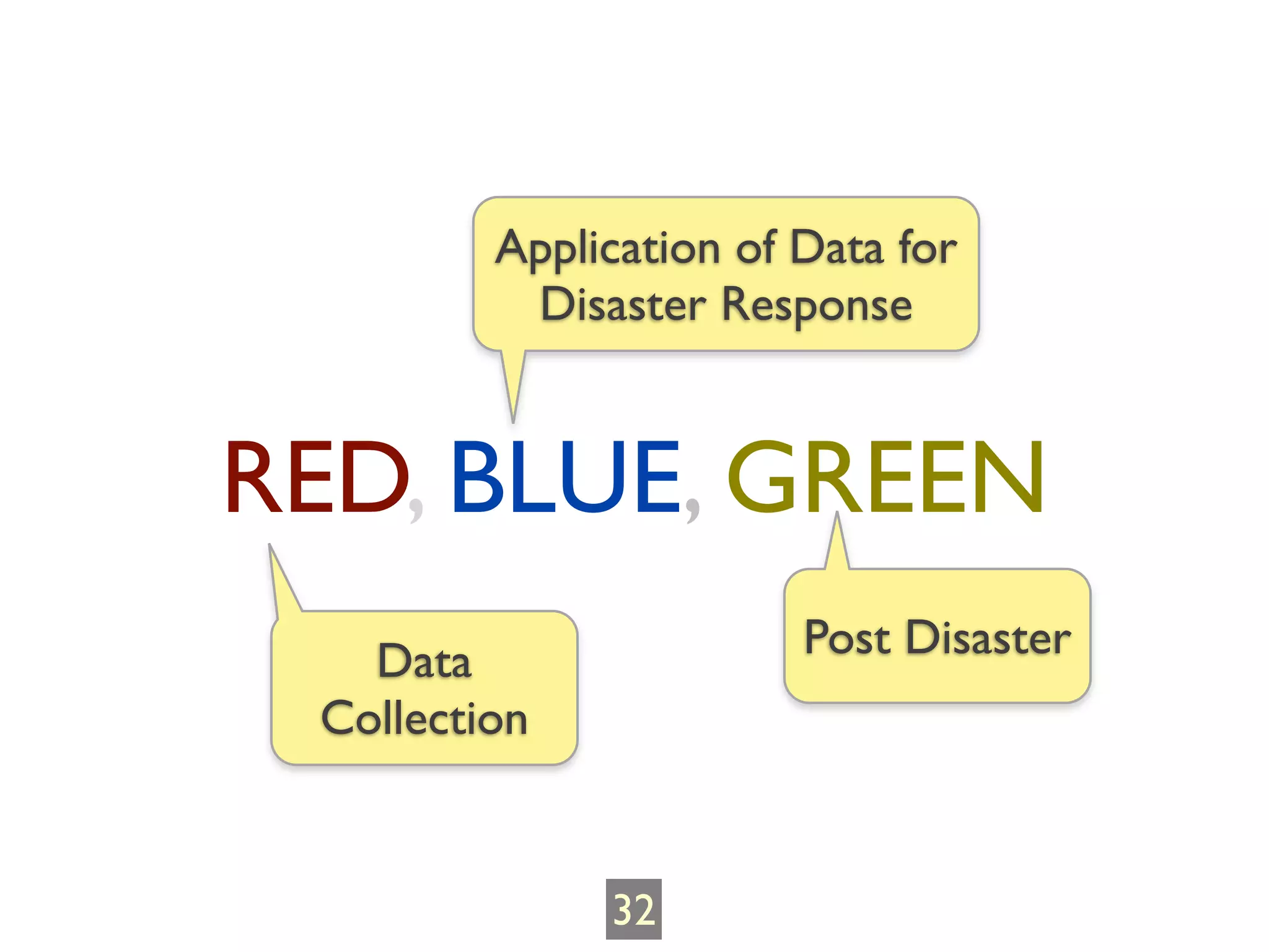
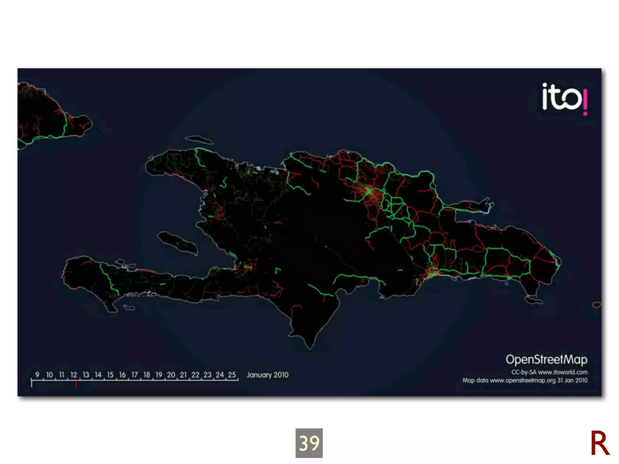
The document summarizes the OpenStreetMap community's response to the 2010 Haiti earthquake. It describes how within days of the earthquake, OSM mappers began collecting and uploading map data of Haiti, including tracing high-resolution satellite imagery. It discusses how the OSM data was then used by humanitarian organizations for tasks like locating camps, distributing aid, and routing. Over time, the quality and completeness of the OSM Haiti map improved greatly through mass collaboration. The document highlights the importance of open data and tools for effective disaster response.