Download to read offline
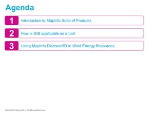
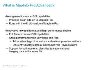
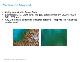

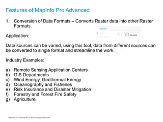
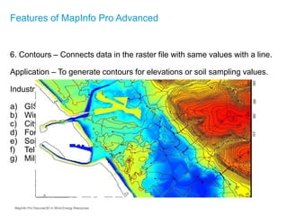
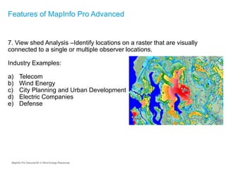
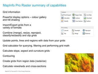
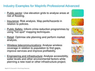
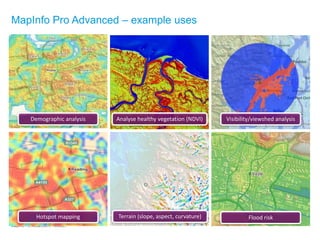
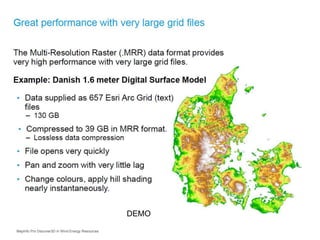
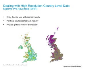
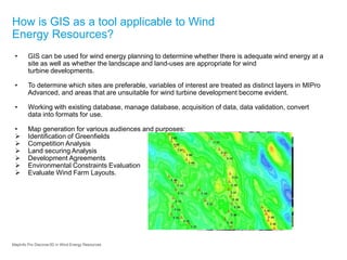
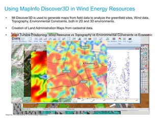
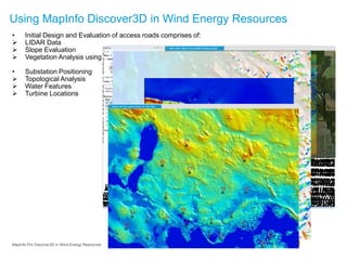


The document discusses the application of MapInfo Discover3D in renewable energy, specifically in wind energy resource management, highlighting its GIS capabilities such as raster data handling, conversion, and analysis. It outlines various features like creating and merging raster files, generating contours, and performing view shed analysis, which are critical for assessing wind turbine site suitability. Additionally, it emphasizes the use of GIS for planning, managing databases, and generating maps for evaluating environmental constraints and optimizing wind farm layouts.