Downloaded 136 times

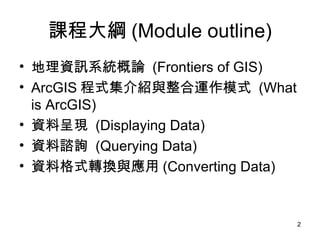
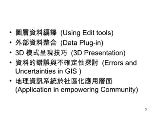
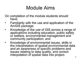


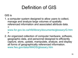


The document provides an outline for a course on applying geographic information systems (GIS) to empower communities. It discusses key GIS concepts like projections, scale, coordinate systems and data formats. It aims to familiarize students with ArcGIS software and using GIS for community applications like education, environmental management and public participation. Students will learn skills like querying spatial data and integrating external data to solve problems in empowering community projects.


