1. The document summarizes a presentation on magnetic survey methods given on May 21, 2020. It discusses concepts like magnetic susceptibility of rocks, elements that make up Earth's magnetic field like the core and mantle, and how magnetic polarity reversals are recorded in rocks.
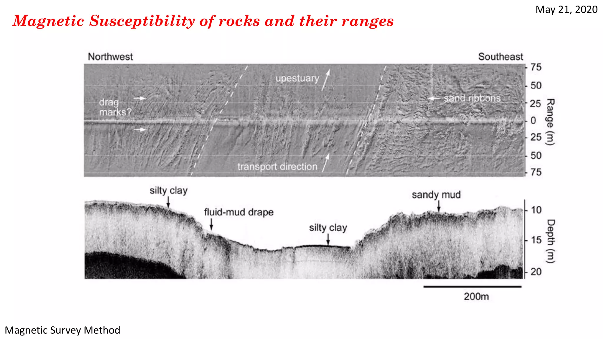
2. Key factors that control magnetic susceptibility of rocks are magnetic minerals like olivine and magnetite. Susceptibility can also depend on mineral grain alignment. Magnetic fabrics provide information on rock composition and formation processes.
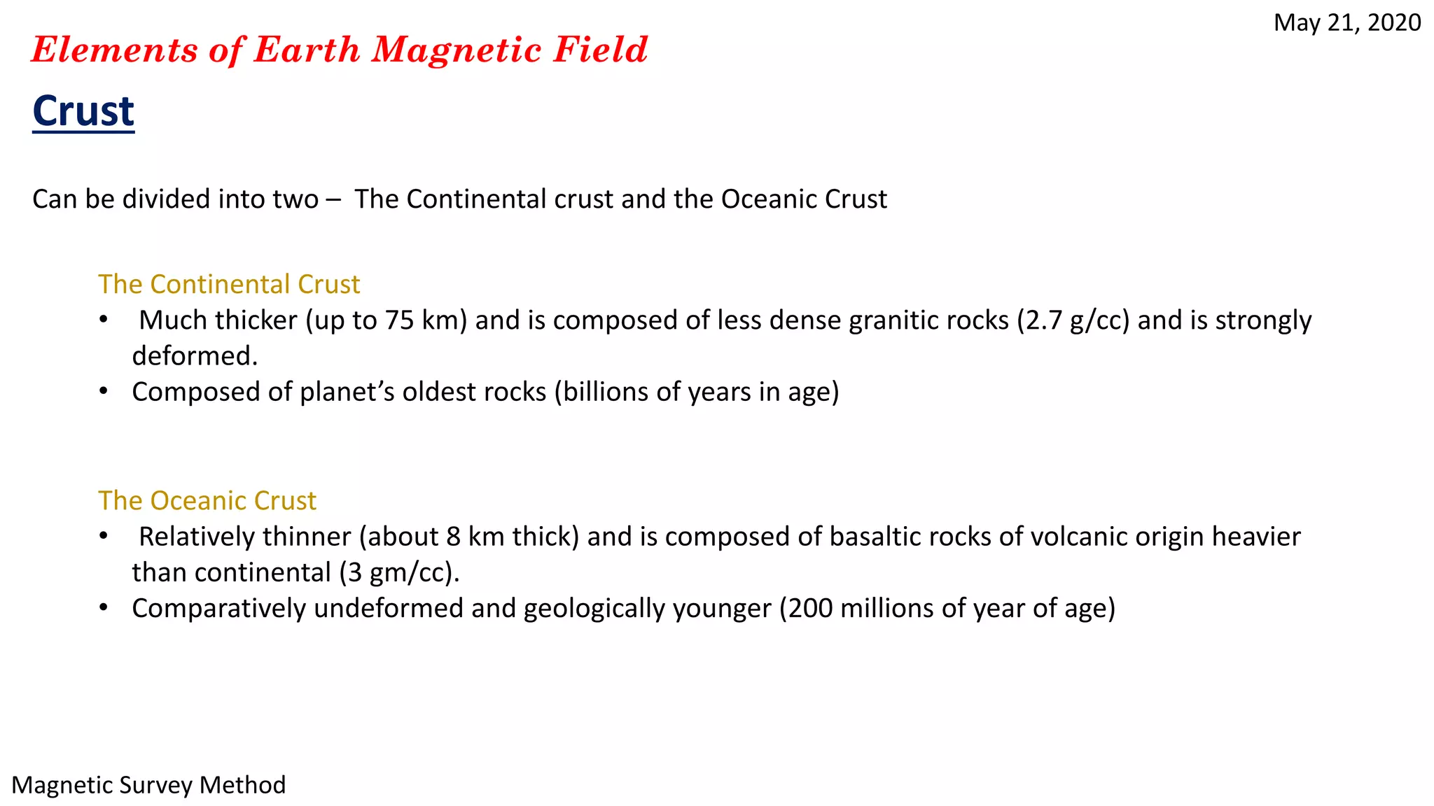
3. Earth has layers of increasing density, from less dense continental crust to denser mantle and core. The outer core generates convection currents that power the magnetic field, and the inner solid core rotates to produce it.