Downloaded 304 times
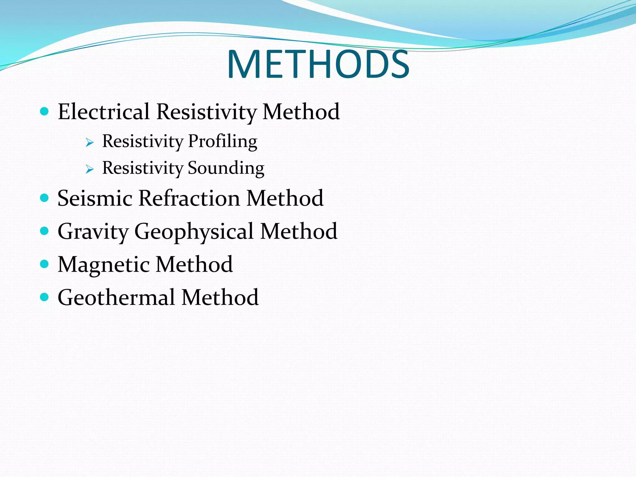
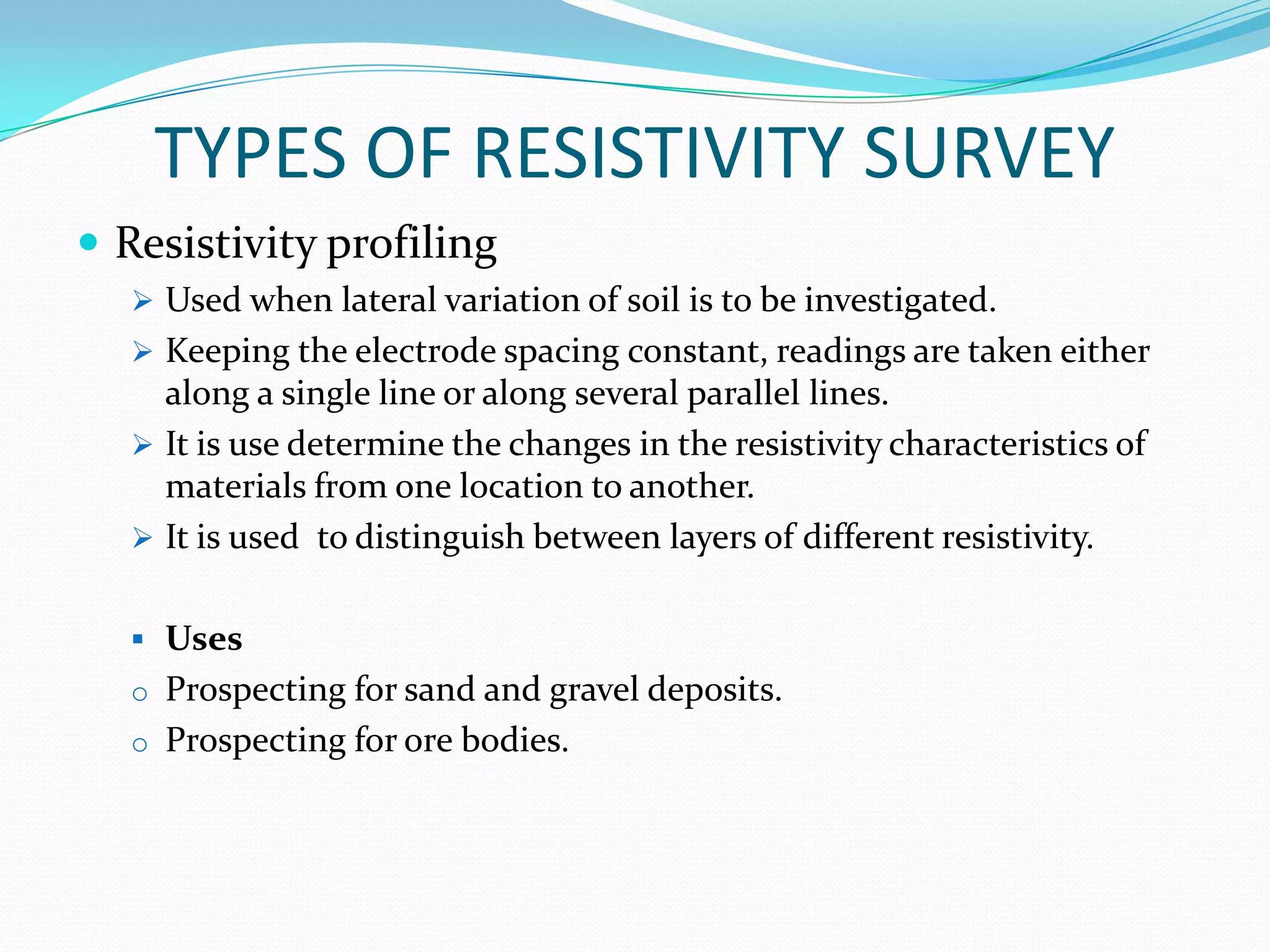


This document discusses geophysical prospecting methods used to study the structure of the earth's crust. It focuses on electrical resistivity methods, including resistivity profiling and resistivity sounding. Resistivity profiling uses constant electrode spacing to investigate lateral variations in soil resistivity along lines or parallel lines. Resistivity sounding varies electrode spacing with readings taken at the same point to determine resistivity variation with depth. Both methods can be used to distinguish soil layers and prospect for resources like ores, sand, and gravel.


