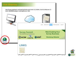
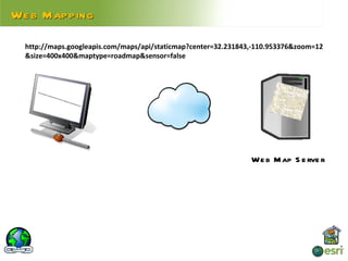
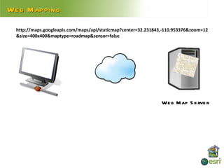
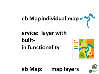
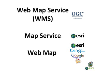
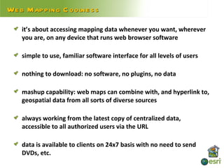
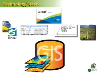
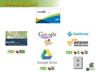
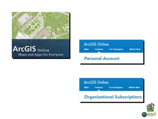
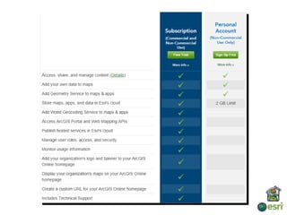
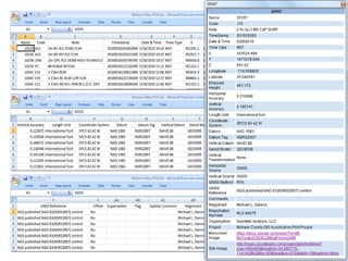
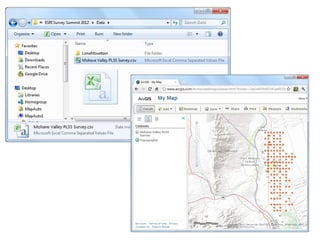
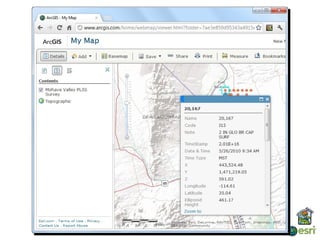
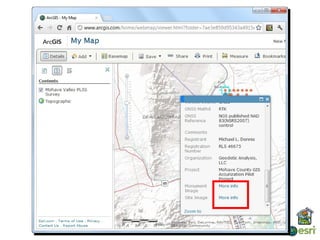
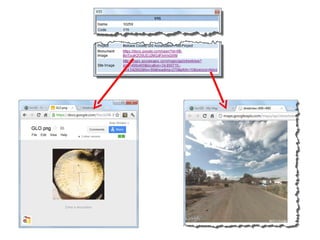
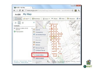
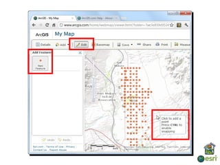
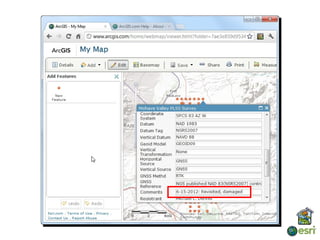
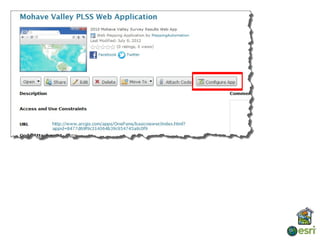
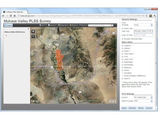
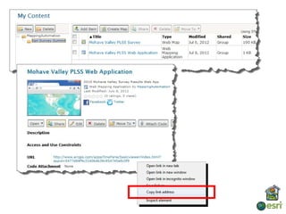
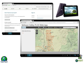
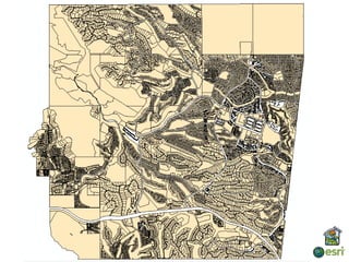
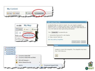
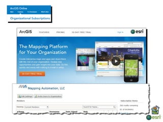
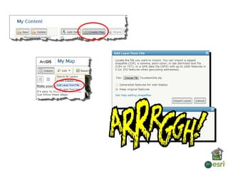
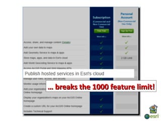
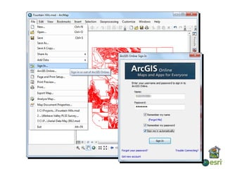
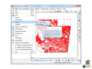
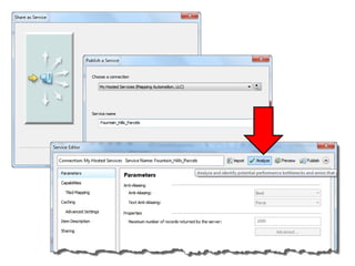
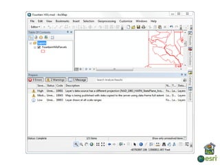
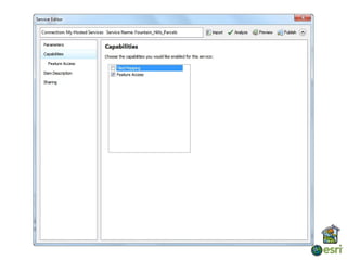
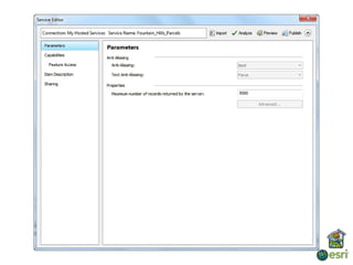
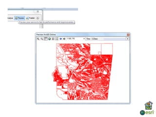
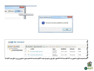
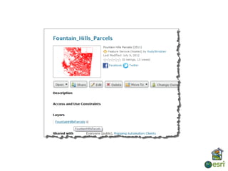
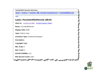
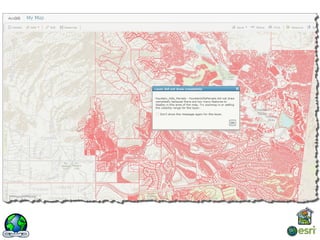
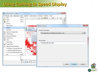
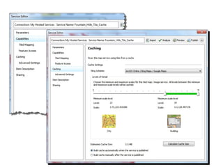
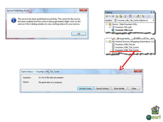
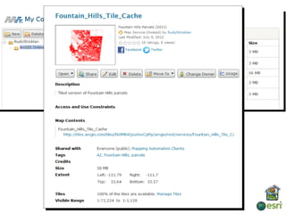
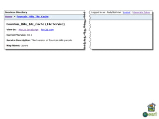
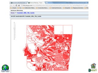
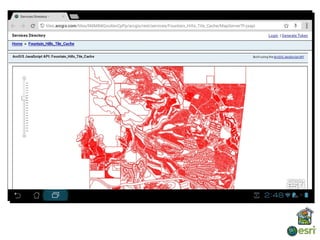
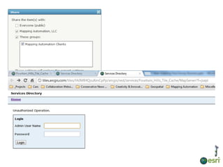
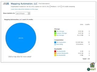
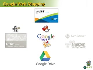
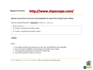
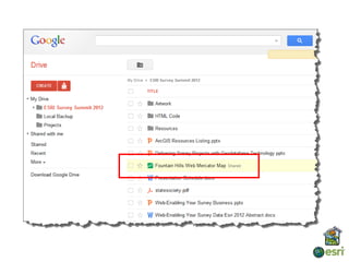
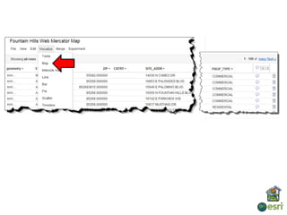
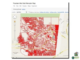
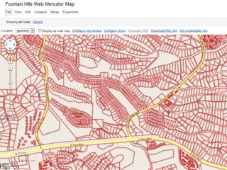
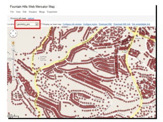
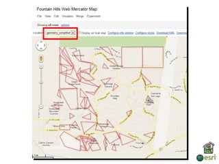
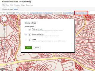
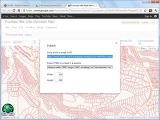
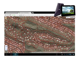
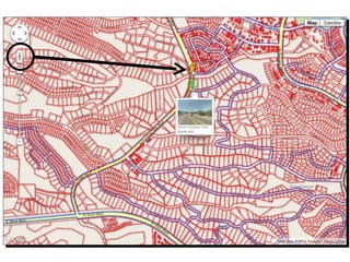
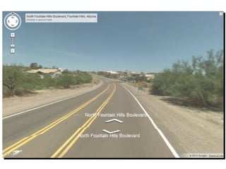
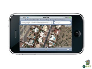
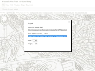
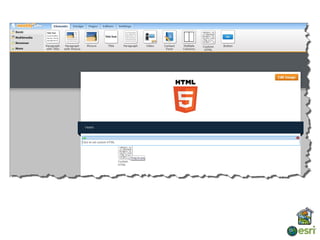
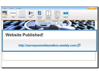
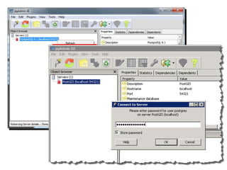
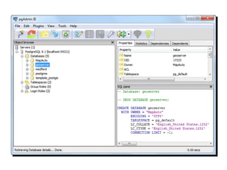
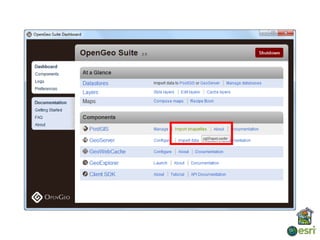
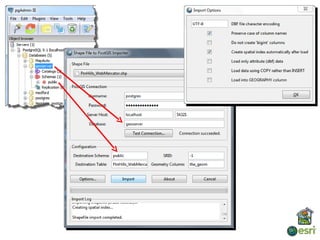
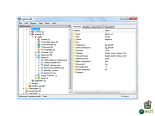
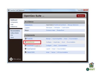
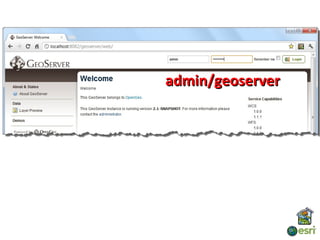
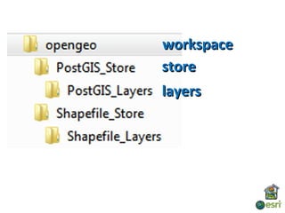
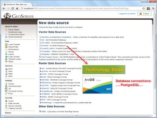
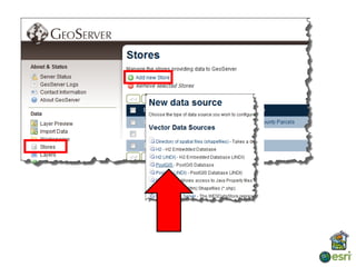
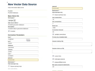
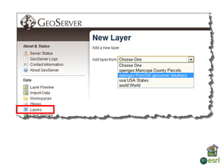
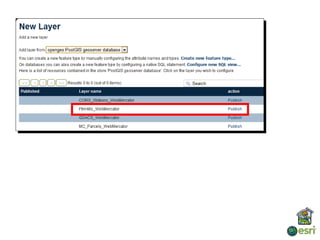
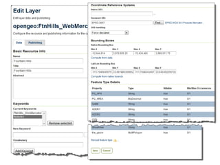
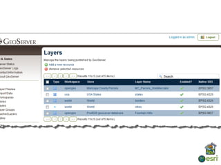
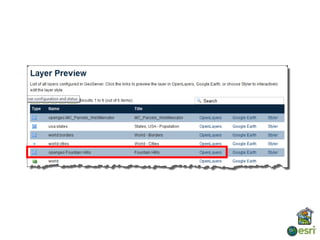
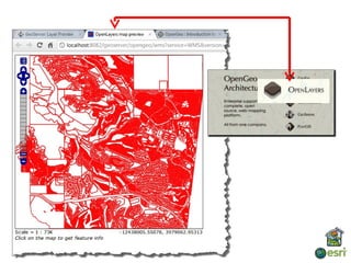
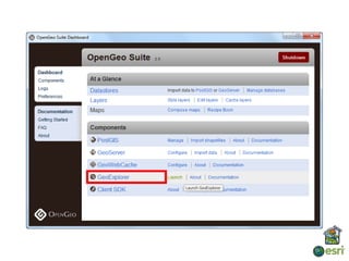
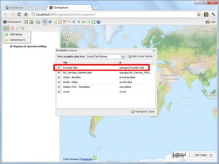
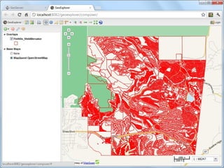
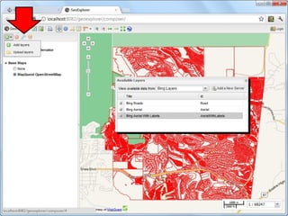
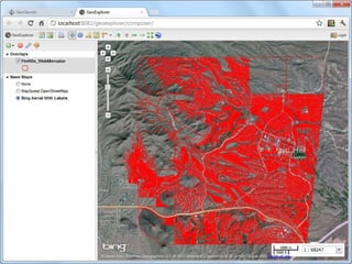
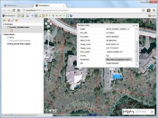
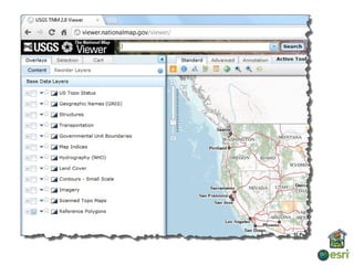
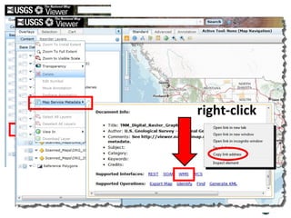
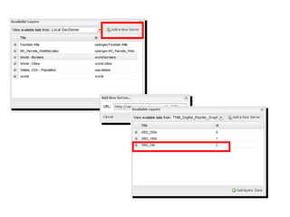
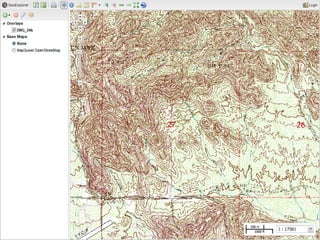
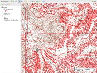
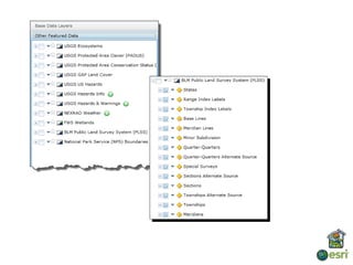
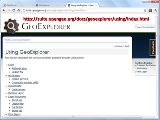
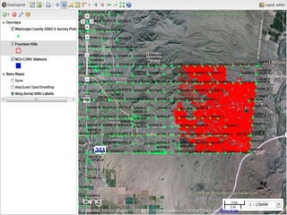
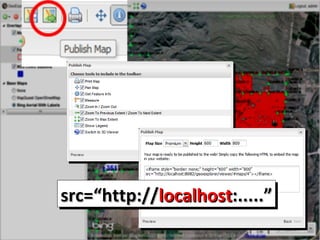
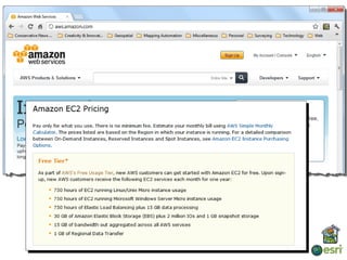
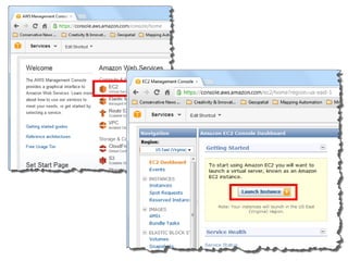
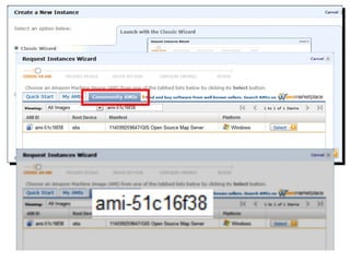
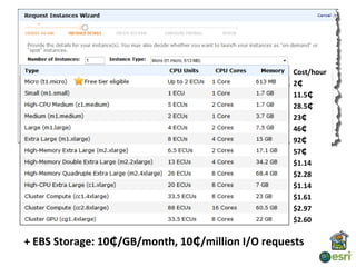
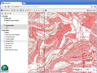
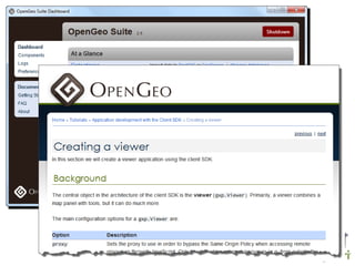
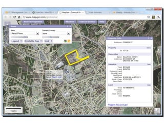
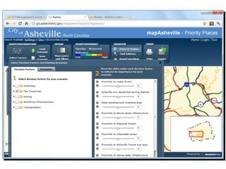
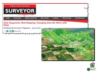
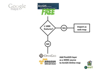
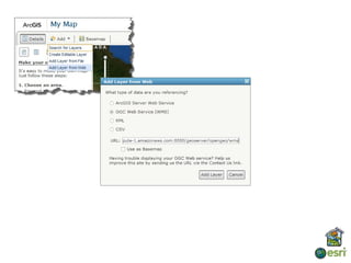
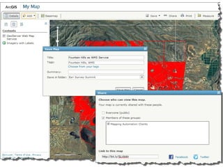
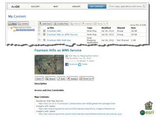
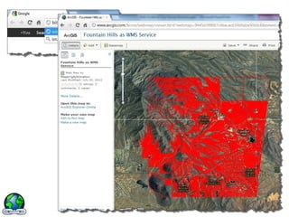
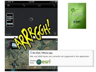
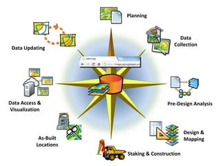
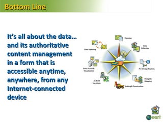
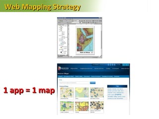
The document discusses web mapping and enabling survey data for the web. It provides an overview of shapefiles and their limitations. It then covers hosting web maps using services like ArcGIS Online, Google Maps, and OpenGeo. Key points include that shapefiles have file size and field restrictions, while web maps have no file downloads or software requirements. Web mapping allows data to be universally accessible over the internet from any device with a browser. The document demonstrates publishing maps to various web mapping platforms and services.


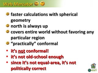
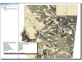
![Web Mercator
EPSG: 3857
cylinder tangent at the equator
PROJCS["WGS_1984_Web_Mercator_Auxiliary_Sphere",
GEOGCS["GCS_WGS_1984",
DATUM["D_WGS_1984",SPHEROID["WGS_1984",
6378137.0,298.257223563]],
PRIMEM["Greenwich",0.0],
UNIT["Degree",0.0174532925199433]],
PROJECTION["Mercator_Auxiliary_Sphere"],
PARAMETER["False_Easting",0.0],
PARAMETER["False_Northing",0.0],
PARAMETER["Central_Meridian",0.0],
PARAMETER["Standard_Parallel_1",0.0],
PARAMETER["Auxiliary_Sphere_Type",0.0],
UNIT["Meter",1.0]]](https://image.slidesharecdn.com/web-enablingyoursurveybusinesspptversion-120721224521-phpapp01/85/Web-enabling-your-survey-business-ppt-version-80-320.jpg)


![Getting Started with Apache Spark: Big Data Made Simple [Free Meetup]](https://cdn.slidesharecdn.com/ss_thumbnails/apachesparkgettingstarted-260203175547-8361bcc3-thumbnail.jpg?width=640&height=640&fit=bounds)


