Download to read offline
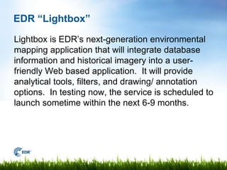
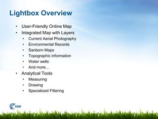

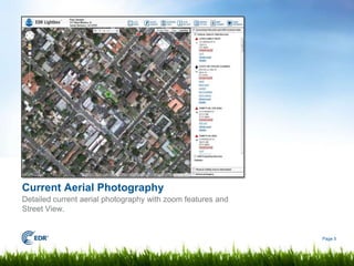


The document summarizes EDR's new Lightbox environmental mapping application. Lightbox will integrate databases, historical imagery, and analytical tools into an interactive web-based map. It will provide layers of environmental records, aerial photos, topographic maps, and more. Lightbox is currently being tested and is scheduled to launch within the next 6-9 months. The roundtable attendees provided feedback that will help EDR improve the new service.


