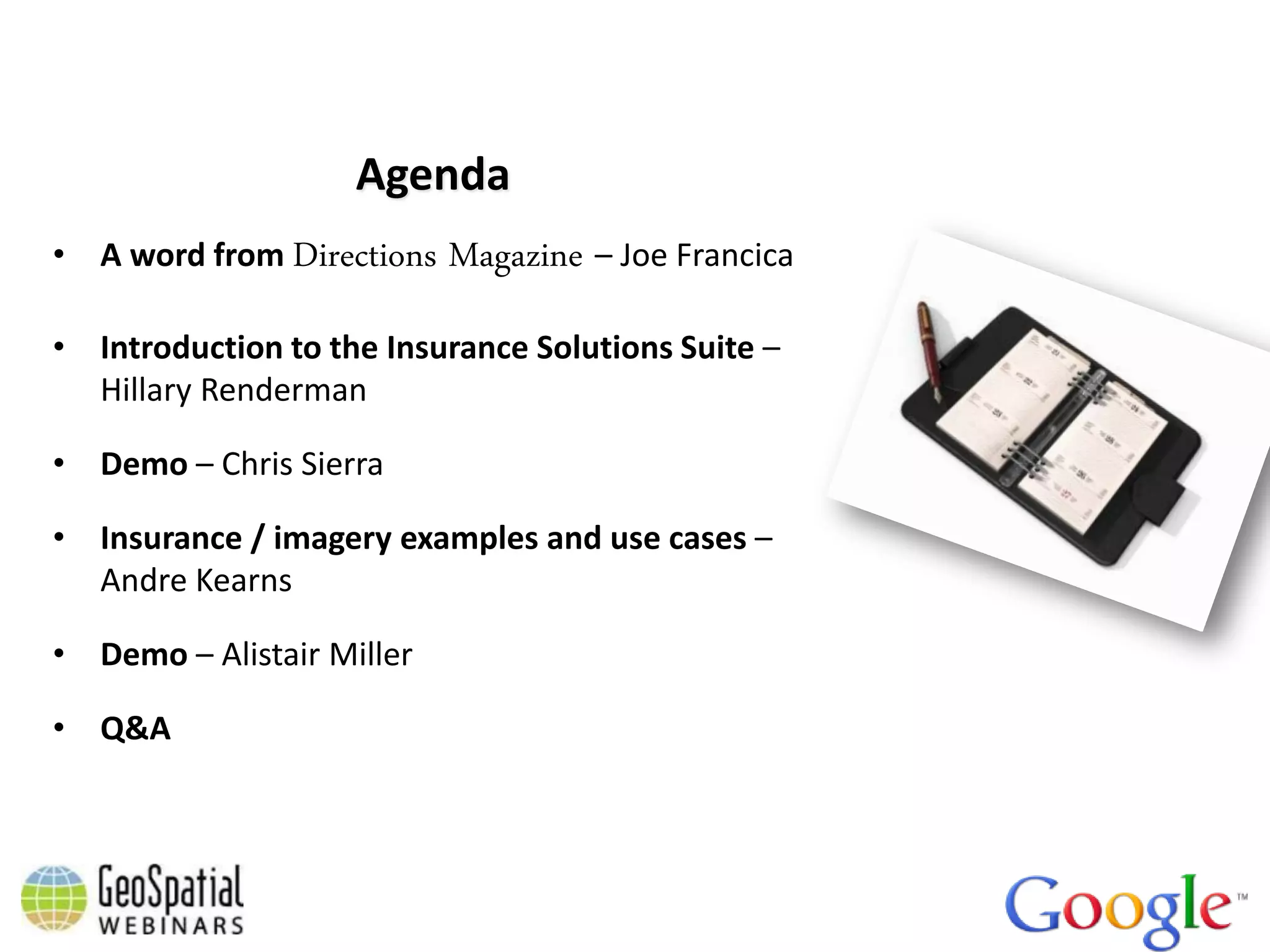
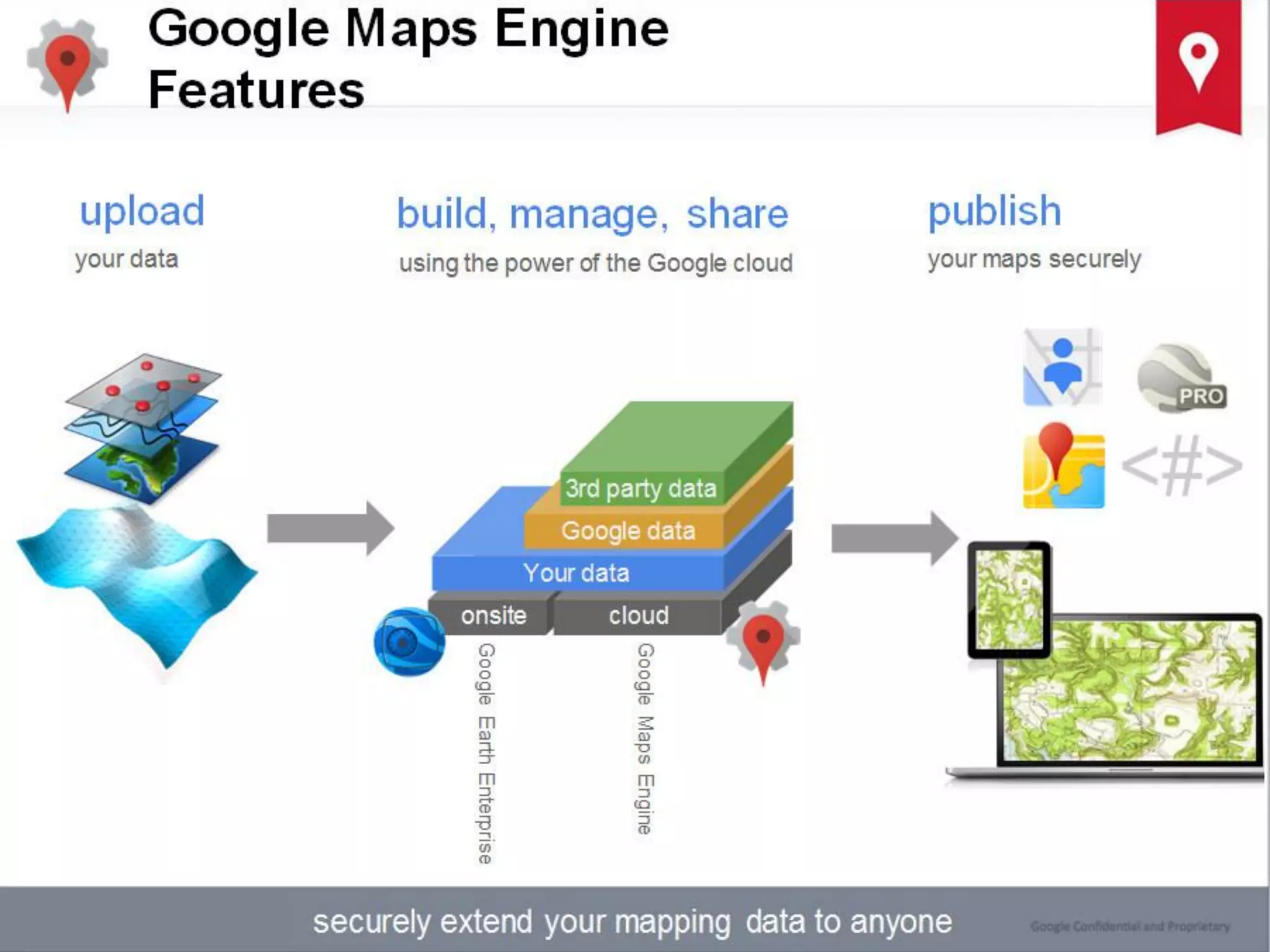
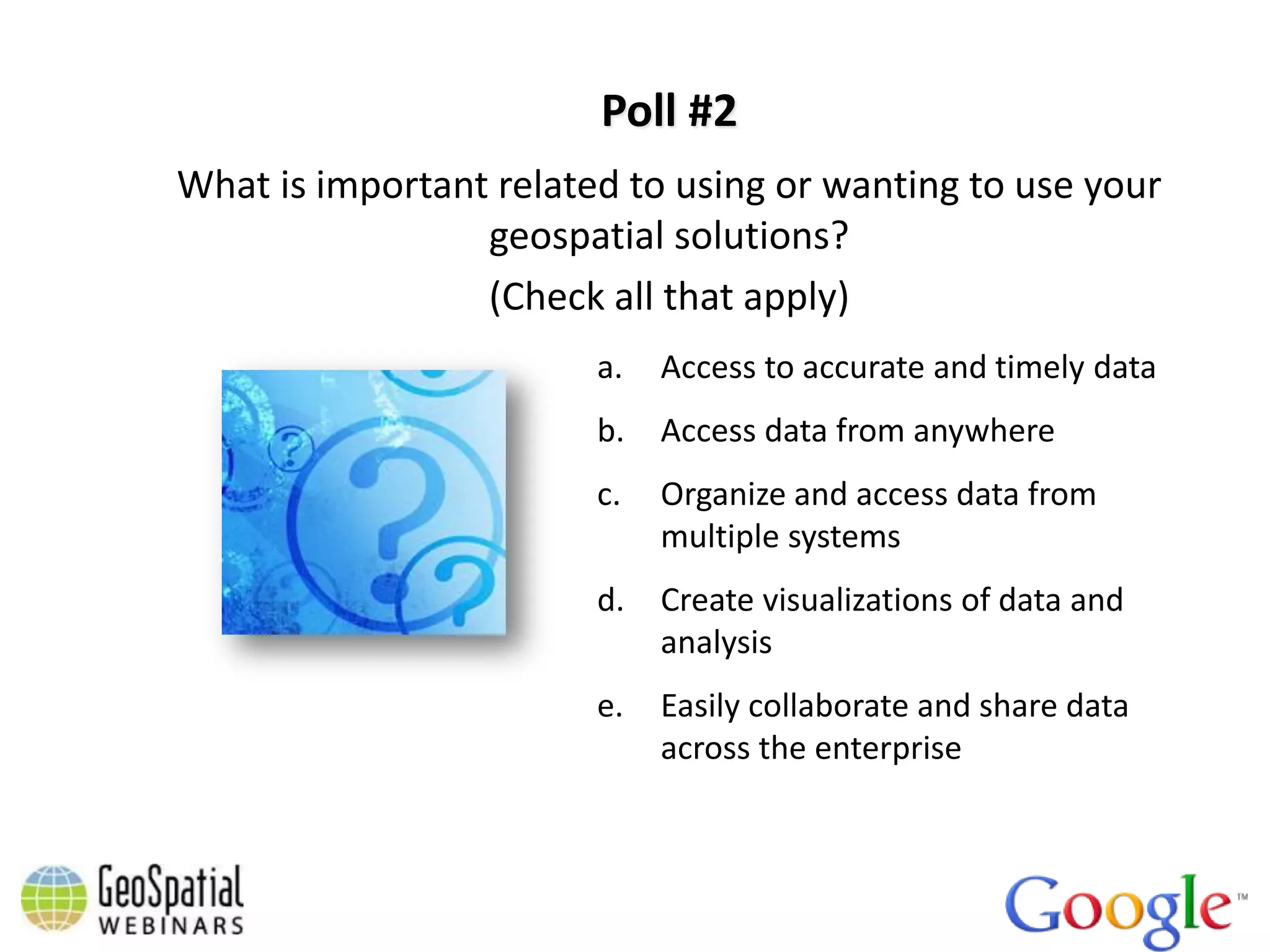
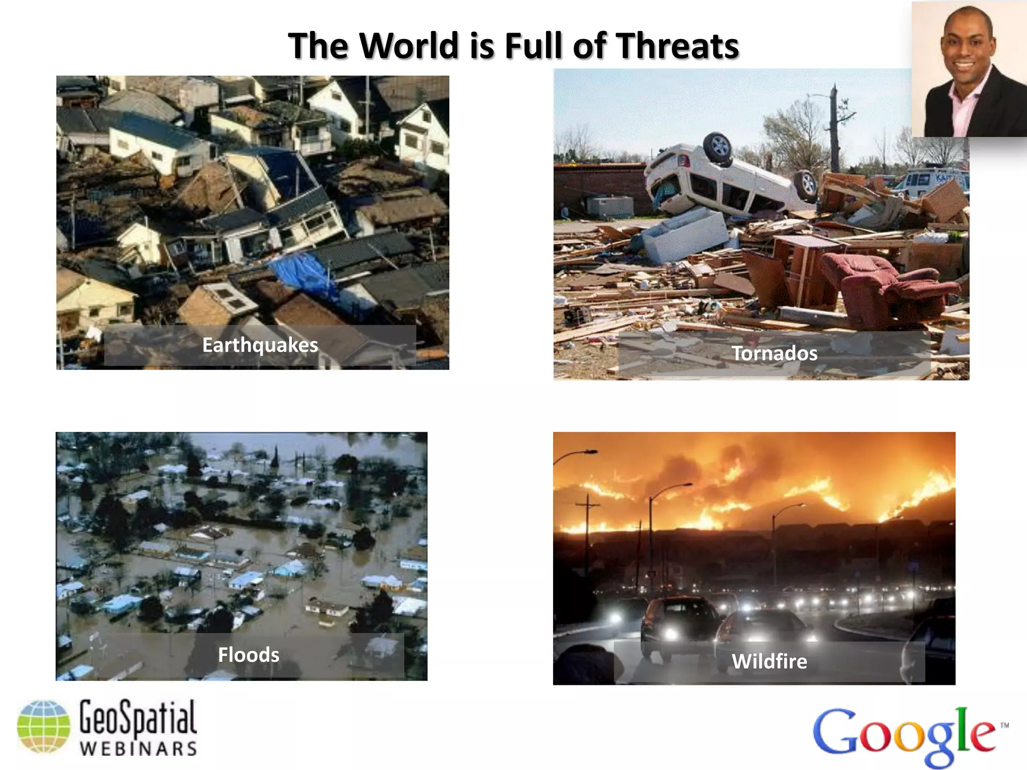
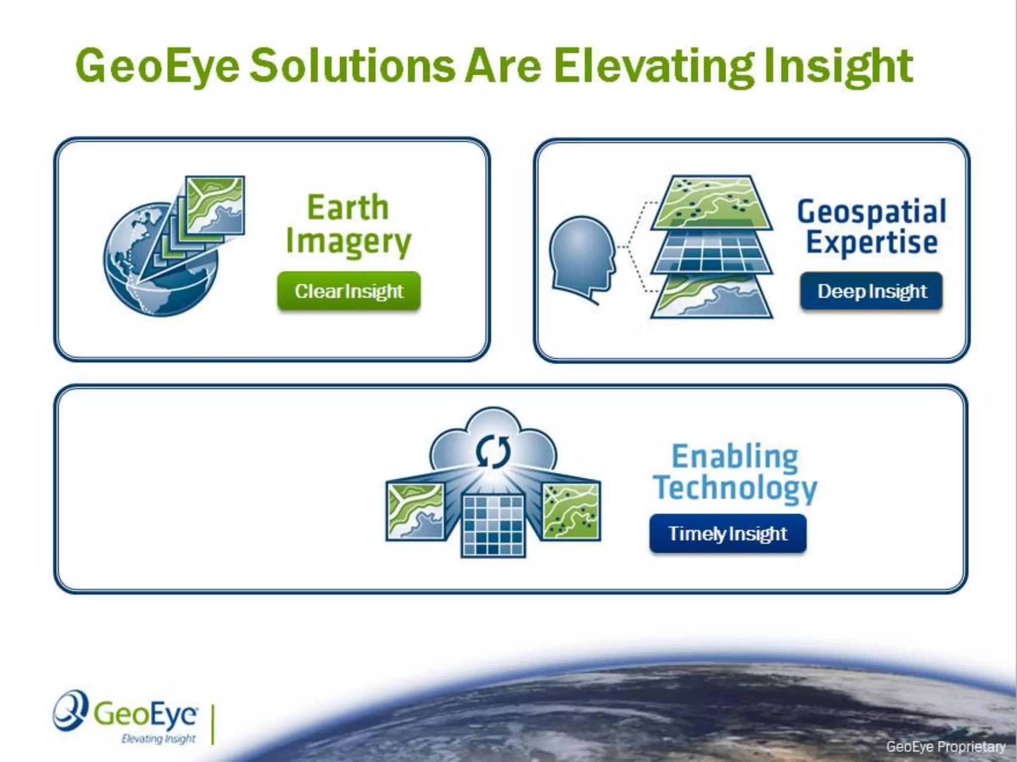
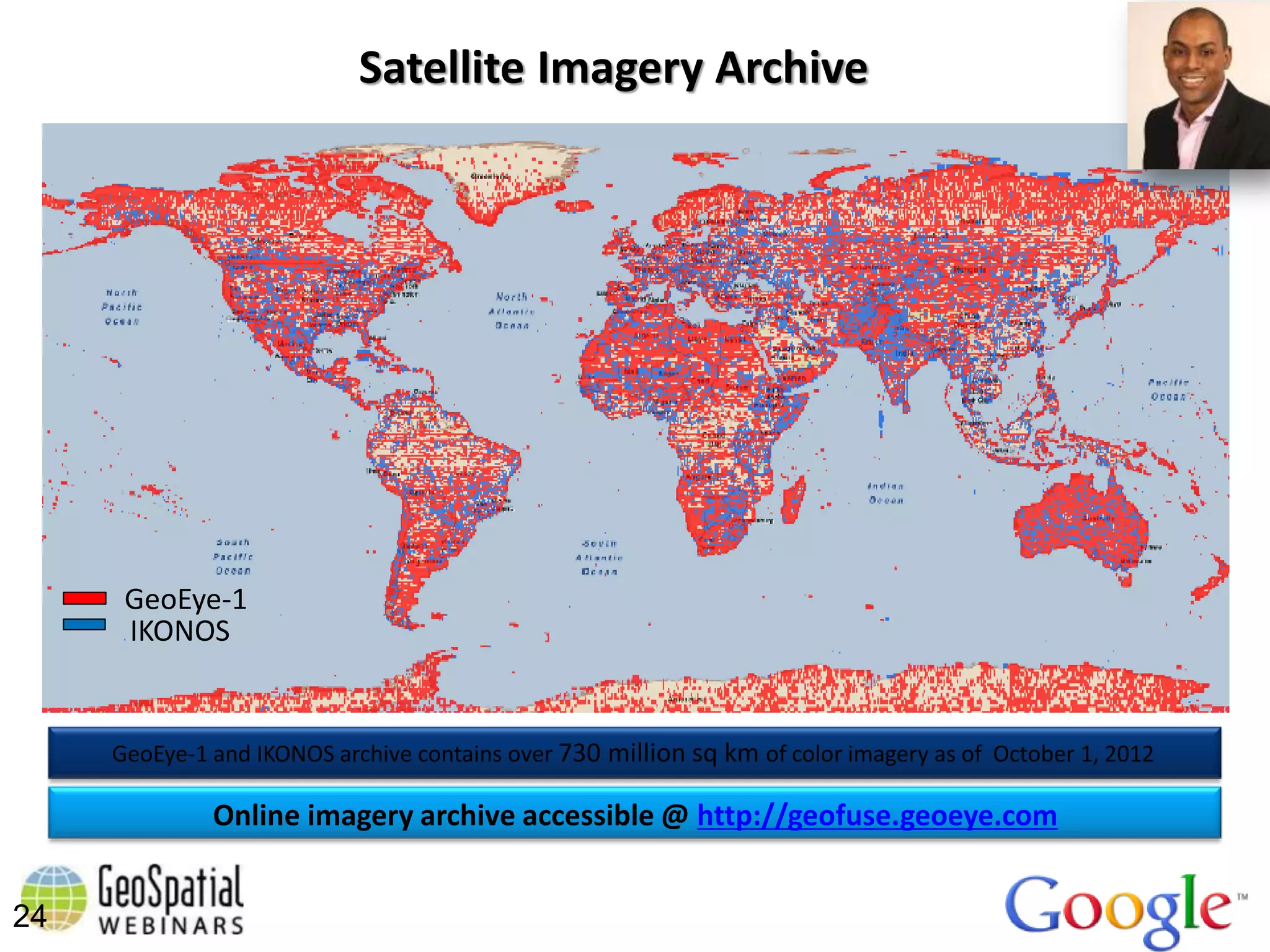
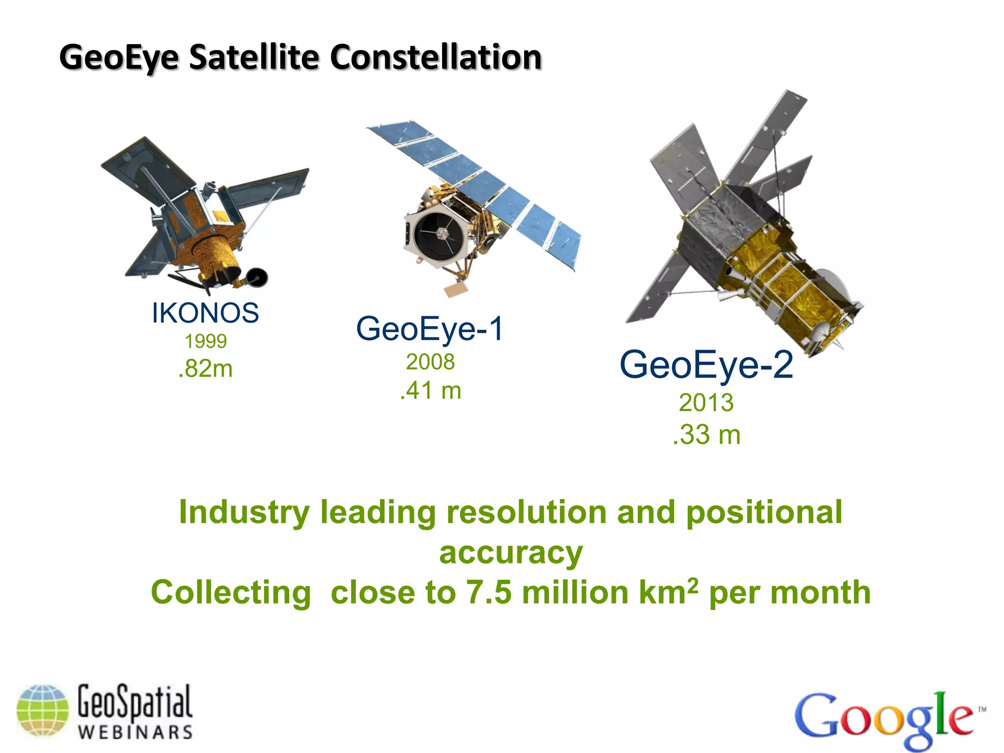
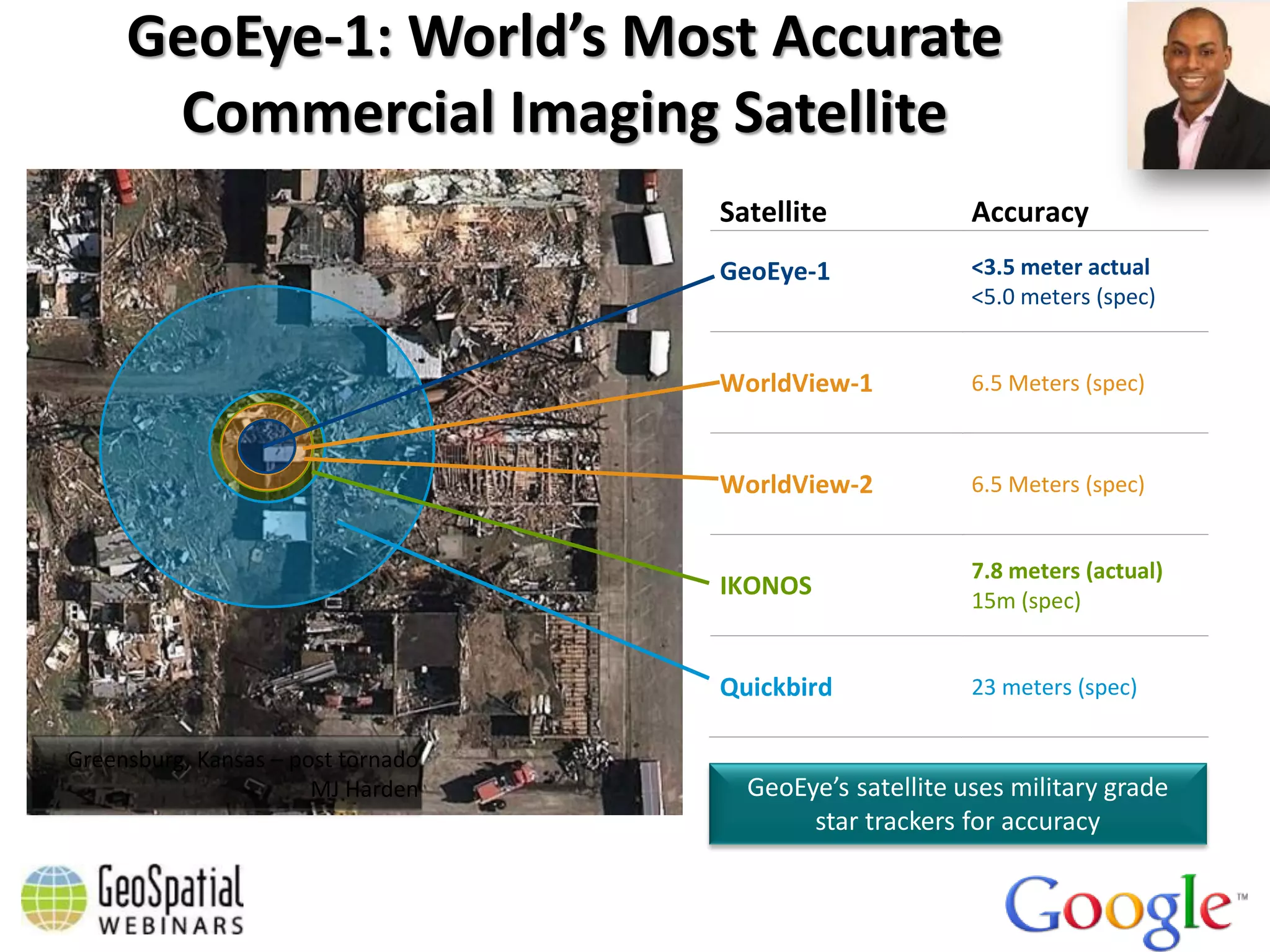
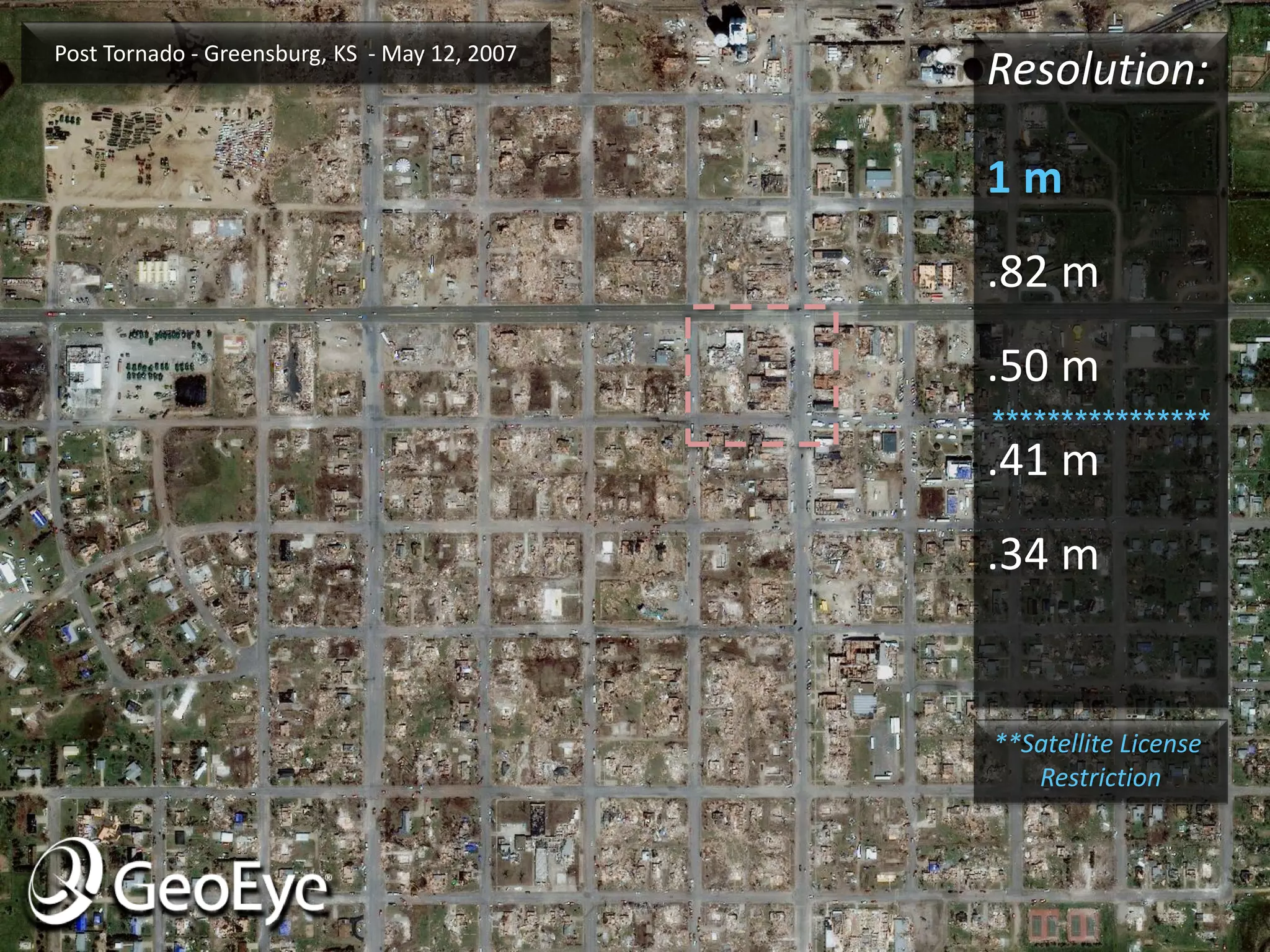
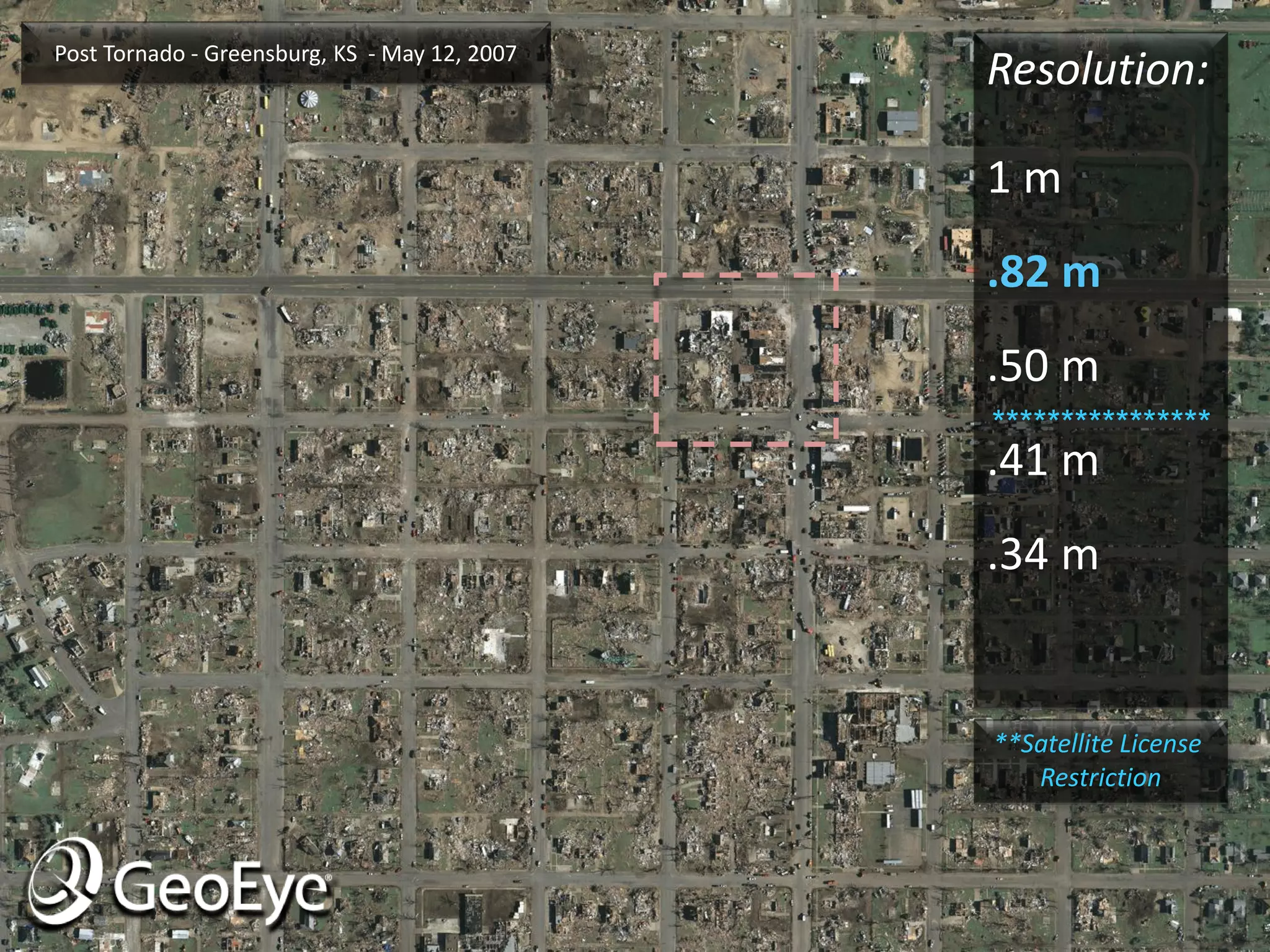
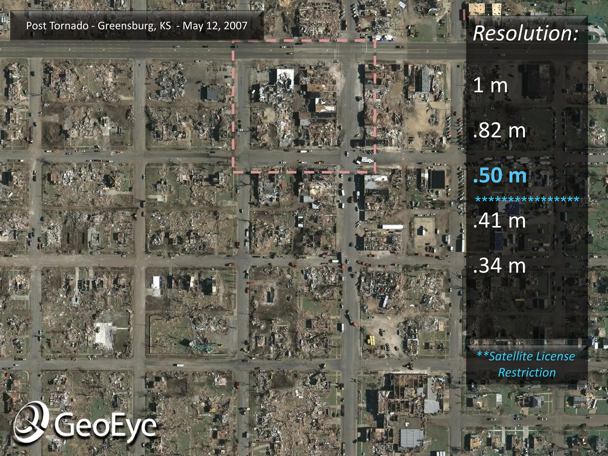
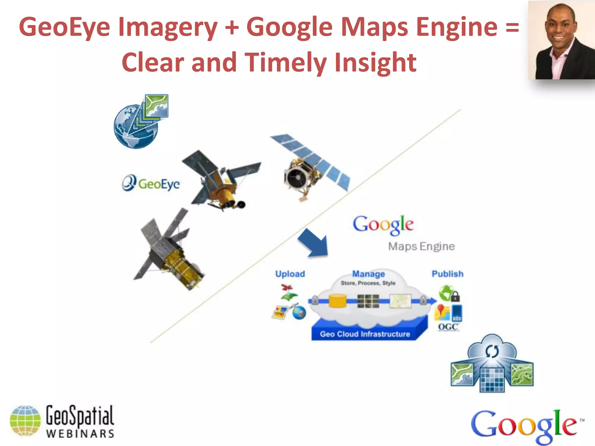
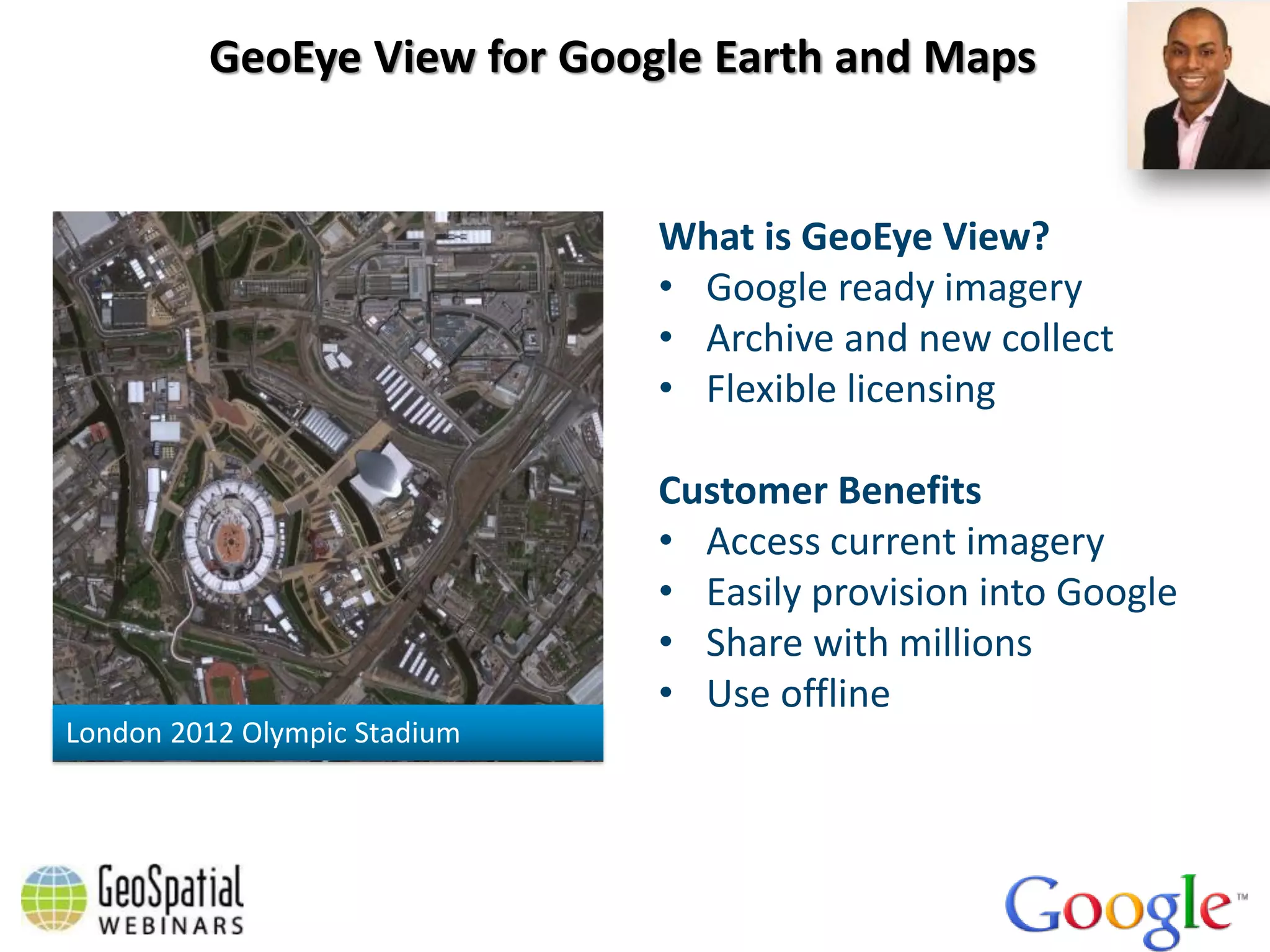
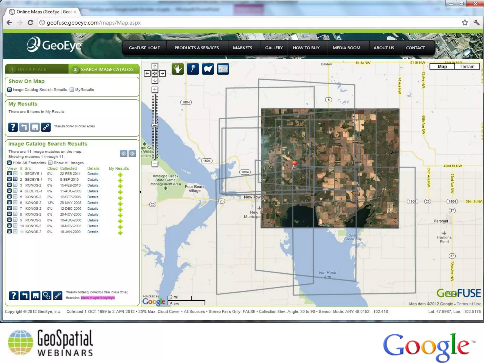
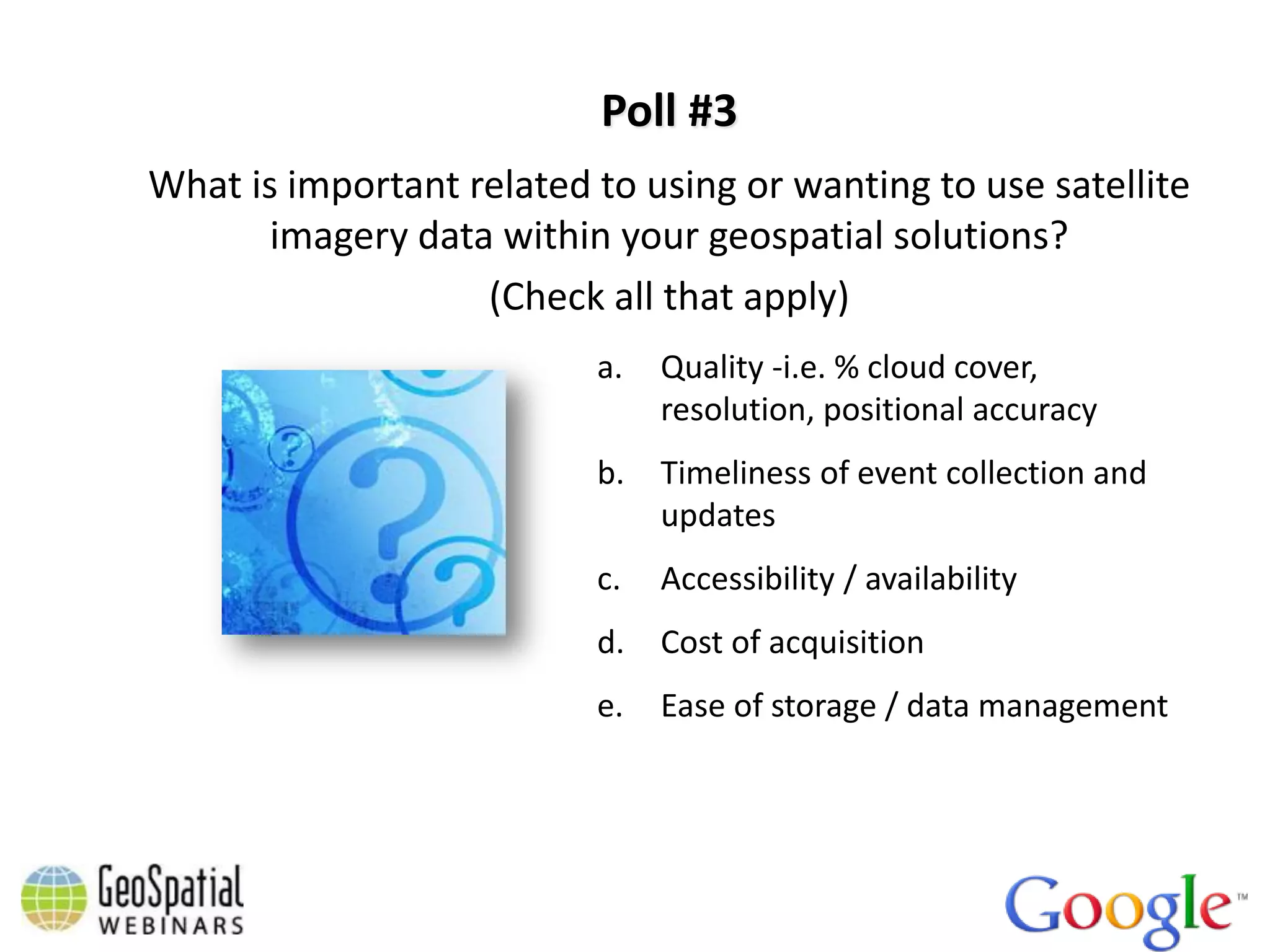
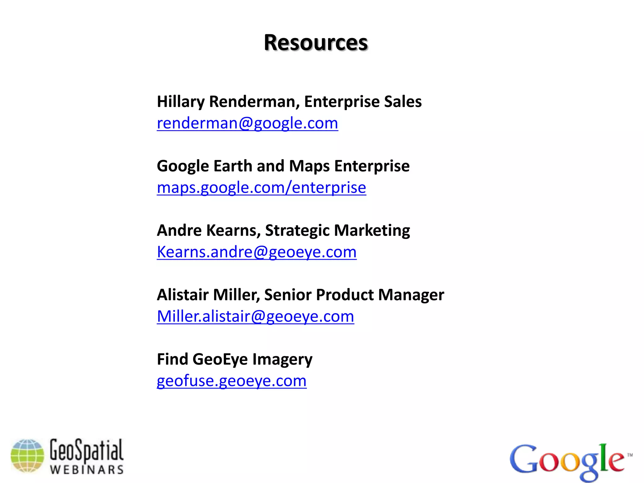
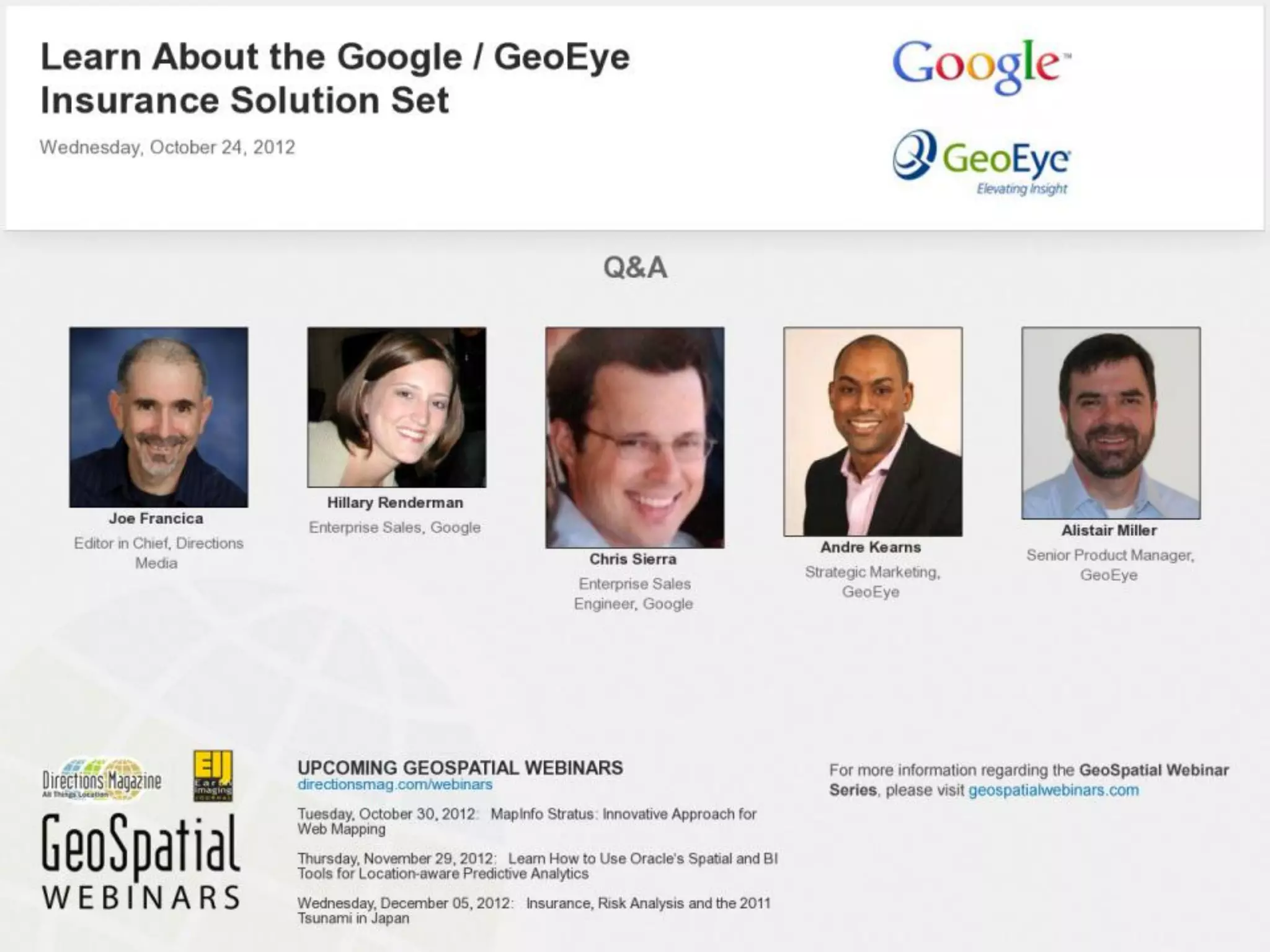
Approximately 500 registrants from around the world
Agenda
• A word from Directions   Magazine – Joe Francica
• Introduction to the Insurance Solutions Suite –
  Hillary Renderman

• Demo – Chris Sierra

• Insurance / imagery examples and use cases –
  Andre Kearns

• Demo – Alistair Miller

• Q&A
Poll #1
How do you or your team currently use or plan to use geospatial
                         solutions?
                    (Check all that apply)
                           a.   Underwriting and claims
                           b.   Managing people, assets and
                                facilities
                           c.   Sales and marketing targeting
                           d.   Incident management and disaster
                                deployment
                           e.   Not using / No immediate plans
Introduction to the Insurance Solution Set


                        Hillary Renderman
                        Enterprise Sales
                        Google
About Google Enterprise


                   Google Enterprise takes Google's most popular
                   and innovative consumer web services and makes
                   them ready for Businesses, Governments and
                   Educational Institutions.
                   Aligning the way people work with the way they live.
Solutions from Google Enterprise


    Search          Geospatial        Enterprise Cloud
     Appliance          Maps               Google Apps
  Commerce Search        Earth            Cloud Platform
                    Maps Coordinate          Devices
                                              Social
Google's Mission


        Organize the world’s information
      and make it universally accessible and useful
We help your business


    Make         Simplify   Connect with
    Better        asset         your
   Decisions   management    customers
Unique Industry Partnerships & Technology
More than a Street Map


    Vector Maps


                             Fully Textured 3D Cities


      3D Trees


   3D Alignment      45 Degree Imagery                  3D Terrain
World's #1 Map (Reach, Accuracy, Speed & Fidelity)


                         1B+
                         Google Earth downloads


                                                  250M+
                                                  active mobile users
Opportunity for Insurance

Geographic information is mission critical - yet
most of it remains siloed or unused.


"     Although more than 80% of organization data has
      a location dimension ... this information is rarely
      exploited.
                                                            "
Trends in Insurance


 •   More efficient asset liability management models and analysis to help improve
     risk management

 •   Regulations on governance risk transparency and compliance

 •   Expected compliance on regulatory reporting

 •   Using Big Data to help estimate claims, credit, and market data

 •   Increase in ability to provide access by mobile and and voice for product and
     service delivery

 •   Analytics to help with customer insight and more efficient business processes
Opportunity for Insurance
Global Trends in Crisis and Natural Disaster Events are on the rise


                                             2011 Claims & Underwriting Metrics
                                             US Property Insurance

                                              # of Insurance Catastrophes      35

                                              Total # Claims (Millions)        3.5

                                              Insured Losses (Billions)        $40

                                              # Total Inspections (Millions)   6.1

                                              Inspection Spend (Millions)      $919
Why Google Maps & Earth for Insurance

 1. Better planning for          2. Optimise People,
    underwriting and               Assets & Facilities
    claims


 3. Insight into policies and    4. Incident Management &   5. Regulatory Compliance
    better targeting for sales   Disaster Deployment
    and marketing
Closing Thoughts


    If a picture tells a thousand words, then
     a map tells a thousand pictures.
Poll #2
What is important related to using or wanting to use your
                 geospatial solutions?
                 (Check all that apply)
                        a.   Access to accurate and timely data
                        b.   Access data from anywhere
                        c.   Organize and access data from
                             multiple systems
                        d.   Create visualizations of data and
                             analysis
                        e.   Easily collaborate and share data
                             across the enterprise
Demo


       Chris Sierra
       Enterprise Sales Engineer
       Google
Insurance / imagery use cases


                  Andre Kearns
                  Strategic Marketing
                  GeoEye
The World is Full of Threats


Earthquakes                          Tornados


 Floods                              Wildfire
Satellite Imagery Archive


      GeoEye-1
      IKONOS


     GeoEye-1 and IKONOS archive contains over 730 million sq km of color imagery as of October 1, 2012

              Online imagery archive accessible @ http://geofuse.geoeye.com


24
GeoEye Satellite Constellation


     IKONOS
       1999       GeoEye-1
       .82m          2008         GeoEye-2
                     .41 m           2013
                                     .33 m

      Industry leading resolution and positional
                       accuracy
     Collecting close to 7.5 million km2 per month
GeoEye-1: World’s Most Accurate
                Commercial Imaging Satellite
                                                                                                            Satellite               Accuracy
                                                                                                            GeoEye-1                <3.5 meter actual
                                                                                                                                    <5.0 meters (spec)


                                                                                                            WorldView-1             6.5 Meters (spec)


                                                                                                            WorldView-2             6.5 Meters (spec)


                                                                                                                                    7.8 meters (actual)
                                                                                                            IKONOS
                                                                                                                                    15m (spec)


                                                                                                            Quickbird               23 meters (spec)

      Greensburg, Kansas – post tornado
                             MJ Harden                                                                          GeoEye’s satellite uses military grade
GeoEye collection assets shown at actual accuracy, others at specified; representation of accuracy on imagery
                                                                                                                     star trackers for accuracy
Post Tornado - Greensburg, KS - May 12, 2007
                                               Resolution:

                                               1m
                                               .82 m
                                               .50 m
                                               ****************
                                               .41 m
                                               .34 m


                                               **Satellite License
                                                  Restriction
GeoEye Imagery + Google Maps Engine =
       Clear and Timely Insight
Demo


       Alistair Miller
       Senior Product Manager for
       Online Access Services
       GeoEye
GeoEye View for Google Earth and Maps


                              What is GeoEye View?
                              • Google ready imagery
                              • Archive and new collect
                              • Flexible licensing

                              Customer Benefits
                              • Access current imagery
                              • Easily provision into Google
                              • Share with millions
                              • Use offline
London 2012 Olympic Stadium
Poll #3
What is important related to using or wanting to use satellite
       imagery data within your geospatial solutions?
                   (Check all that apply)
                          a.   Quality -i.e. % cloud cover,
                               resolution, positional accuracy
                          b.   Timeliness of event collection and
                               updates
                          c.   Accessibility / availability
                          d.   Cost of acquisition
                          e.   Ease of storage / data management
Resources

Hillary Renderman, Enterprise Sales
renderman@google.com

Google Earth and Maps Enterprise
maps.google.com/enterprise

Andre Kearns, Strategic Marketing
Kearns.andre@geoeye.com

Alistair Miller, Senior Product Manager
Miller.alistair@geoeye.com

Find GeoEye Imagery
geofuse.geoeye.com
Learn About the Google / GeoEye Insurance Solution Set - Webinar Slides

Learn About the Google / GeoEye Insurance Solution Set - Webinar Slides

  • 2.
    Approximately 500 registrantsfrom around the world
  • 3.
    Agenda • A wordfrom Directions Magazine – Joe Francica • Introduction to the Insurance Solutions Suite – Hillary Renderman • Demo – Chris Sierra • Insurance / imagery examples and use cases – Andre Kearns • Demo – Alistair Miller • Q&A
  • 4.
    Poll #1 How doyou or your team currently use or plan to use geospatial solutions? (Check all that apply) a. Underwriting and claims b. Managing people, assets and facilities c. Sales and marketing targeting d. Incident management and disaster deployment e. Not using / No immediate plans
  • 5.
    Introduction to theInsurance Solution Set Hillary Renderman Enterprise Sales Google
  • 6.
    About Google Enterprise Google Enterprise takes Google's most popular and innovative consumer web services and makes them ready for Businesses, Governments and Educational Institutions. Aligning the way people work with the way they live.
  • 7.
    Solutions from GoogleEnterprise Search Geospatial Enterprise Cloud Appliance Maps Google Apps Commerce Search Earth Cloud Platform Maps Coordinate Devices Social
  • 8.
    Google's Mission Organize the world’s information and make it universally accessible and useful
  • 9.
    We help yourbusiness Make Simplify Connect with Better asset your Decisions management customers
  • 10.
  • 11.
    More than aStreet Map Vector Maps Fully Textured 3D Cities 3D Trees 3D Alignment 45 Degree Imagery 3D Terrain
  • 12.
    World's #1 Map(Reach, Accuracy, Speed & Fidelity) 1B+ Google Earth downloads 250M+ active mobile users
  • 13.
    Opportunity for Insurance Geographicinformation is mission critical - yet most of it remains siloed or unused. " Although more than 80% of organization data has a location dimension ... this information is rarely exploited. "
  • 14.
    Trends in Insurance • More efficient asset liability management models and analysis to help improve risk management • Regulations on governance risk transparency and compliance • Expected compliance on regulatory reporting • Using Big Data to help estimate claims, credit, and market data • Increase in ability to provide access by mobile and and voice for product and service delivery • Analytics to help with customer insight and more efficient business processes
  • 15.
    Opportunity for Insurance GlobalTrends in Crisis and Natural Disaster Events are on the rise 2011 Claims & Underwriting Metrics US Property Insurance # of Insurance Catastrophes 35 Total # Claims (Millions) 3.5 Insured Losses (Billions) $40 # Total Inspections (Millions) 6.1 Inspection Spend (Millions) $919
  • 16.
    Why Google Maps& Earth for Insurance 1. Better planning for 2. Optimise People, underwriting and Assets & Facilities claims 3. Insight into policies and 4. Incident Management & 5. Regulatory Compliance better targeting for sales Disaster Deployment and marketing
  • 18.
    Closing Thoughts If a picture tells a thousand words, then a map tells a thousand pictures.
  • 19.
    Poll #2 What isimportant related to using or wanting to use your geospatial solutions? (Check all that apply) a. Access to accurate and timely data b. Access data from anywhere c. Organize and access data from multiple systems d. Create visualizations of data and analysis e. Easily collaborate and share data across the enterprise
  • 20.
    Demo Chris Sierra Enterprise Sales Engineer Google
  • 21.
    Insurance / imageryuse cases Andre Kearns Strategic Marketing GeoEye
  • 22.
    The World isFull of Threats Earthquakes Tornados Floods Wildfire
  • 24.
    Satellite Imagery Archive GeoEye-1 IKONOS GeoEye-1 and IKONOS archive contains over 730 million sq km of color imagery as of October 1, 2012 Online imagery archive accessible @ http://geofuse.geoeye.com 24
  • 25.
    GeoEye Satellite Constellation IKONOS 1999 GeoEye-1 .82m 2008 GeoEye-2 .41 m 2013 .33 m Industry leading resolution and positional accuracy Collecting close to 7.5 million km2 per month
  • 26.
    GeoEye-1: World’s MostAccurate Commercial Imaging Satellite Satellite Accuracy GeoEye-1 <3.5 meter actual <5.0 meters (spec) WorldView-1 6.5 Meters (spec) WorldView-2 6.5 Meters (spec) 7.8 meters (actual) IKONOS 15m (spec) Quickbird 23 meters (spec) Greensburg, Kansas – post tornado MJ Harden GeoEye’s satellite uses military grade GeoEye collection assets shown at actual accuracy, others at specified; representation of accuracy on imagery star trackers for accuracy
  • 27.
    Post Tornado -Greensburg, KS - May 12, 2007 Resolution: 1m .82 m .50 m **************** .41 m .34 m **Satellite License Restriction
  • 28.
    Post Tornado -Greensburg, KS - May 12, 2007 Resolution: 1m .82 m .50 m **************** .41 m .34 m **Satellite License Restriction
  • 29.
    Post Tornado -Greensburg, KS - May 12, 2007 Resolution: 1m .82 m .50 m **************** .41 m .34 m **Satellite License Restriction
  • 30.
    Post Tornado -Greensburg, KS - May 12, 2007 Resolution: 1m .82 m .50 m **************** .41 m .34 m **Satellite License Restriction
  • 31.
    Post Tornado -Greensburg, KS - May 12, 2007 Resolution: 1m .82 m .50 m **************** .41 m .34 m **Satellite License Restriction
  • 32.
    GeoEye Imagery +Google Maps Engine = Clear and Timely Insight
  • 34.
    Demo Alistair Miller Senior Product Manager for Online Access Services GeoEye
  • 35.
    GeoEye View forGoogle Earth and Maps What is GeoEye View? • Google ready imagery • Archive and new collect • Flexible licensing Customer Benefits • Access current imagery • Easily provision into Google • Share with millions • Use offline London 2012 Olympic Stadium
  • 37.
    Poll #3 What isimportant related to using or wanting to use satellite imagery data within your geospatial solutions? (Check all that apply) a. Quality -i.e. % cloud cover, resolution, positional accuracy b. Timeliness of event collection and updates c. Accessibility / availability d. Cost of acquisition e. Ease of storage / data management
  • 38.
    Resources Hillary Renderman, EnterpriseSales renderman@google.com Google Earth and Maps Enterprise maps.google.com/enterprise Andre Kearns, Strategic Marketing Kearns.andre@geoeye.com Alistair Miller, Senior Product Manager Miller.alistair@geoeye.com Find GeoEye Imagery geofuse.geoeye.com