Downloaded 169 times
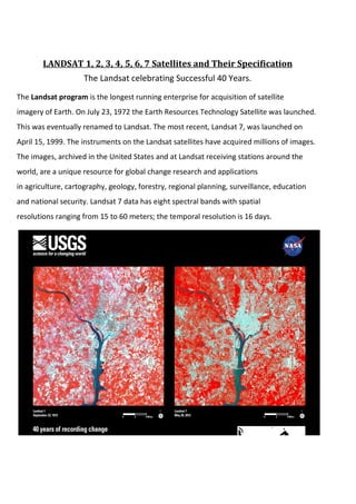


The Landsat program is the longest running satellite program for imaging Earth. It began in 1972 with the launch of Landsat 1 and has continued with subsequent launches of Landsat satellites every few years. Landsat satellites acquire millions of images with spectral bands at resolutions from 15-60 meters to support research in global change, agriculture, geology, forestry and other areas. Landsat 7, launched in 1999, still operates today despite an instrument failure, providing images every 16 days.