Downloaded 66 times


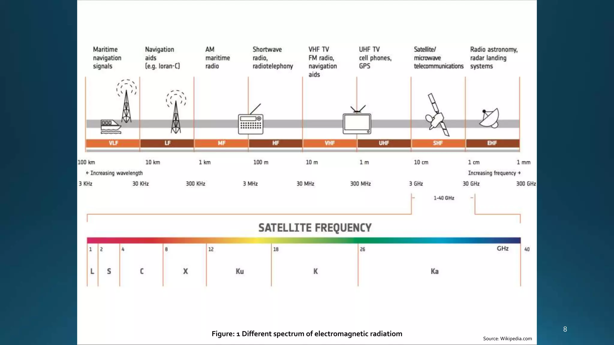

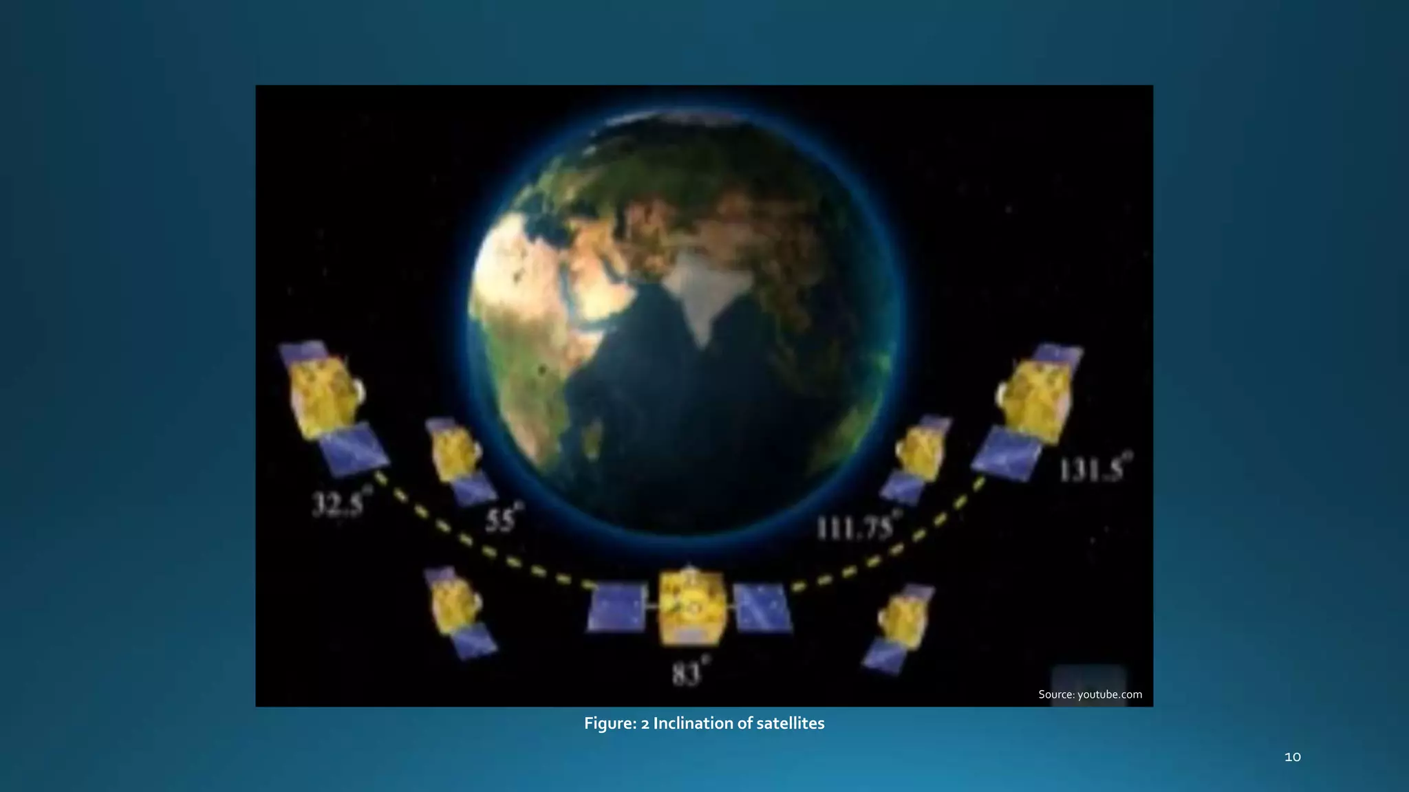


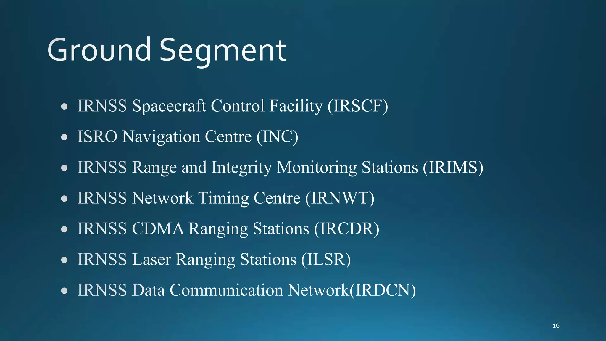
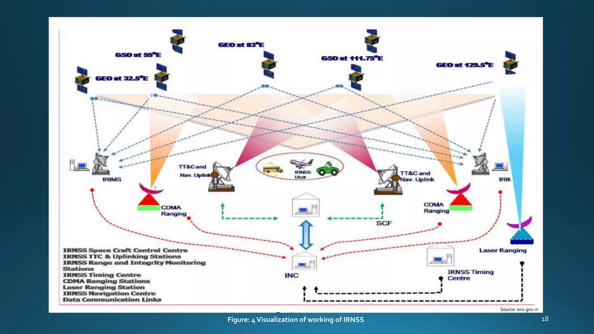


The Indian Regional Navigation Satellite System (IRNSS) is India's regional satellite navigation system that provides accurate real-time positioning and timing services. It uses a constellation of 7 satellites in geostationary and geosynchronous orbits with an inclination of 29 degrees. The system has 3 segments - space segment consisting of the satellites, ground segment for monitoring and control of the satellites, and user segment involving IRNSS receivers to obtain position. The satellites work on L5 and S bands to broadcast navigation signals for various applications like terrestrial, aerial and marine navigation.