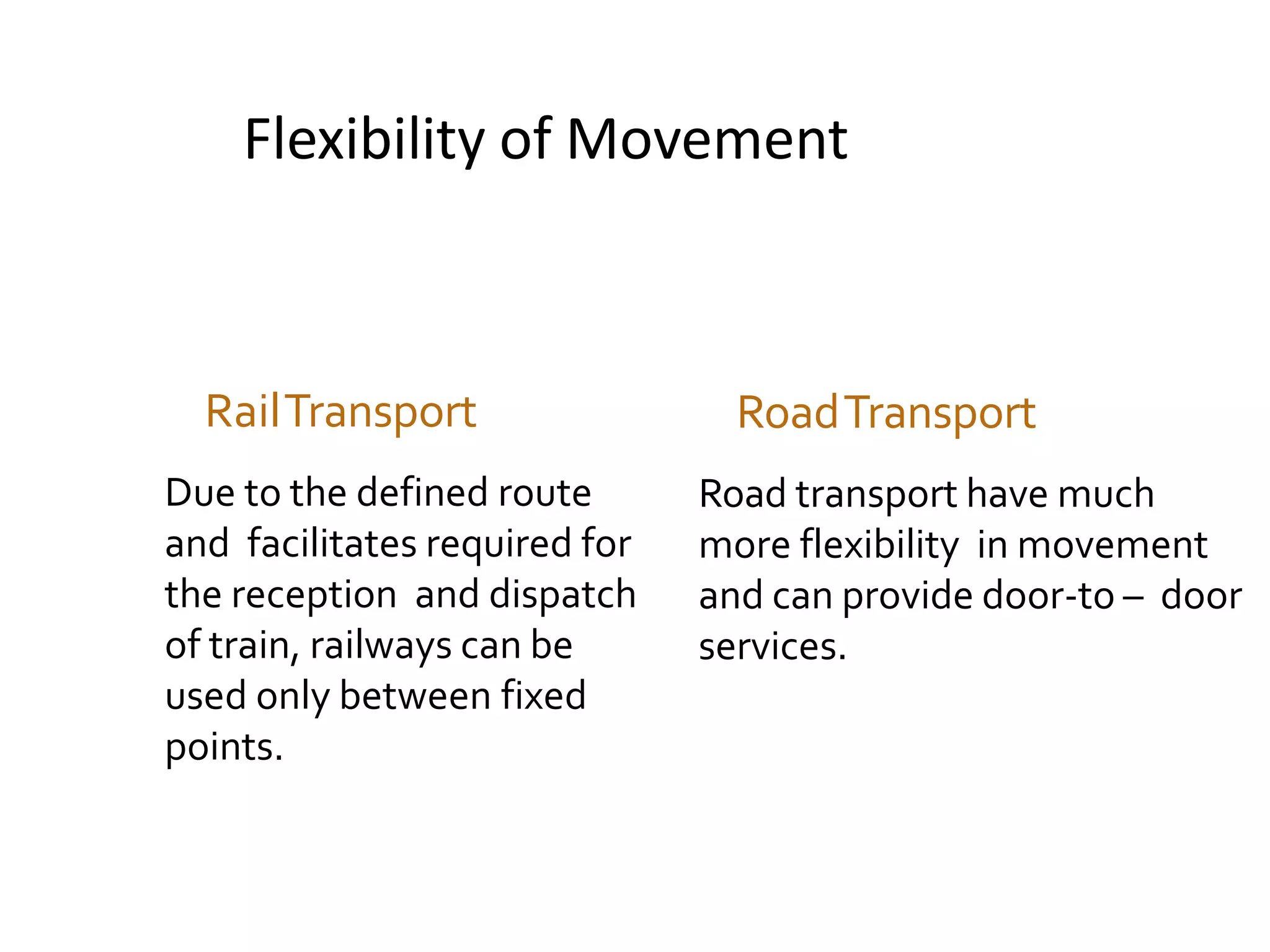
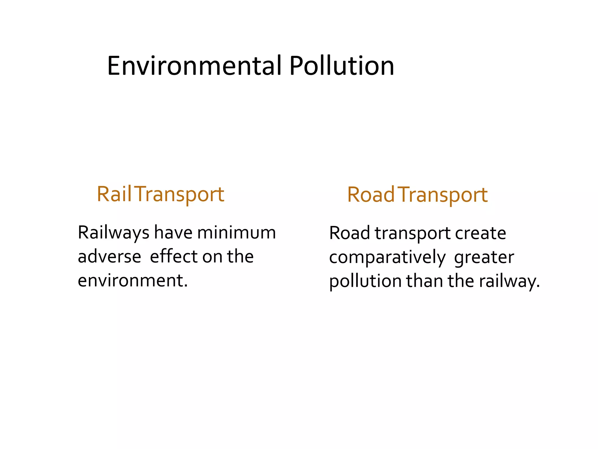
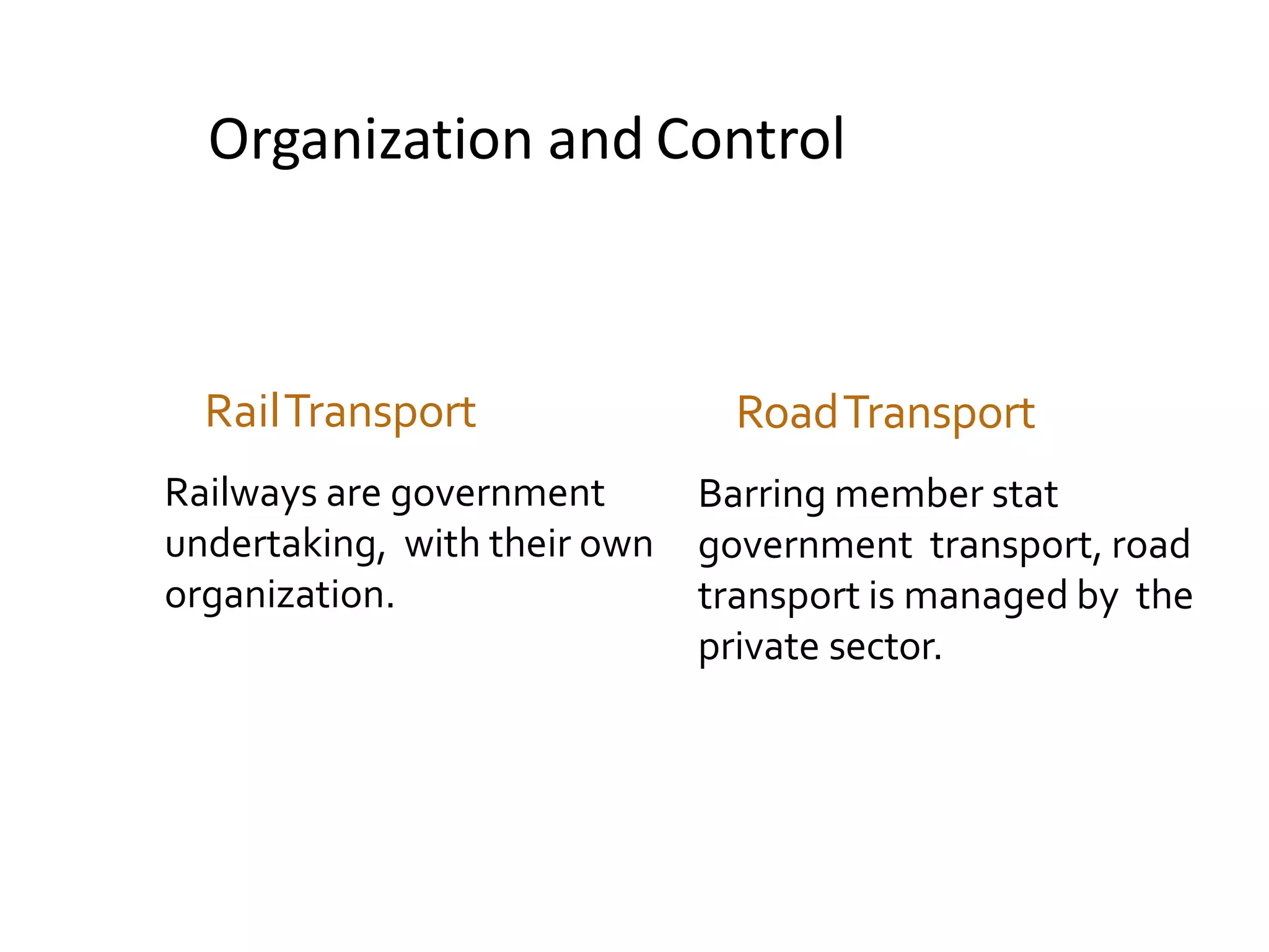
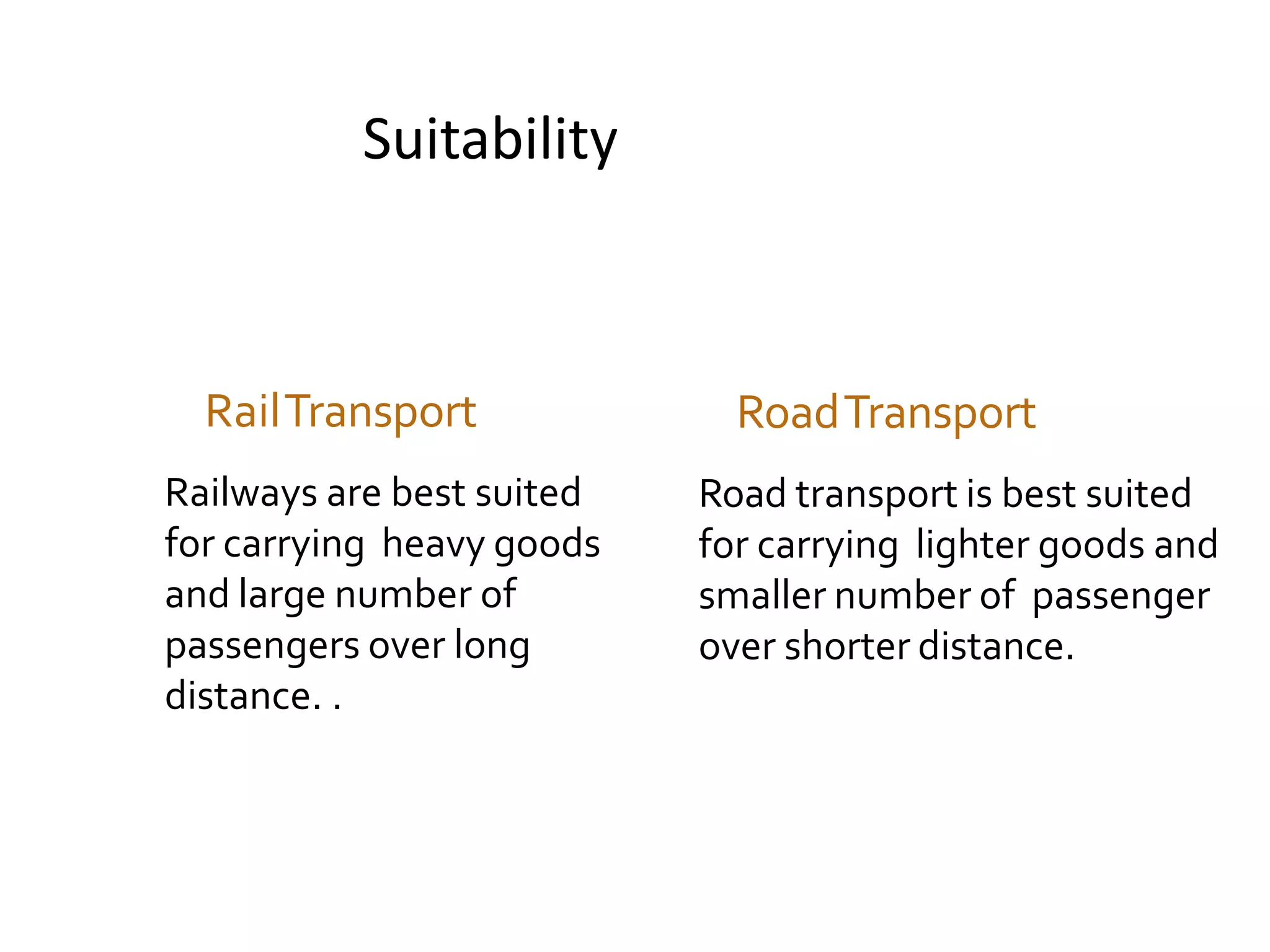
Download to read offline
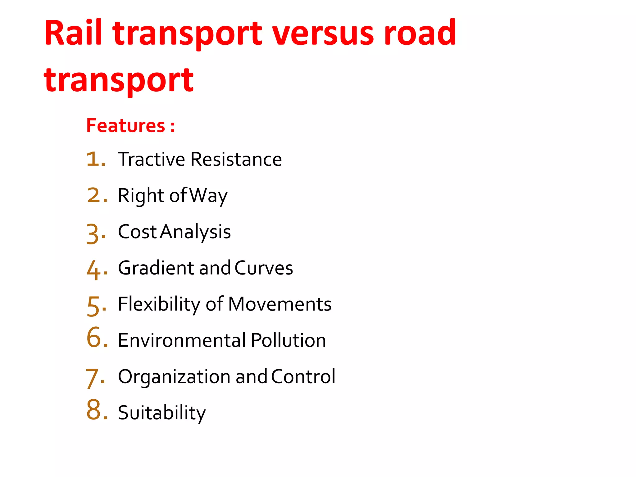
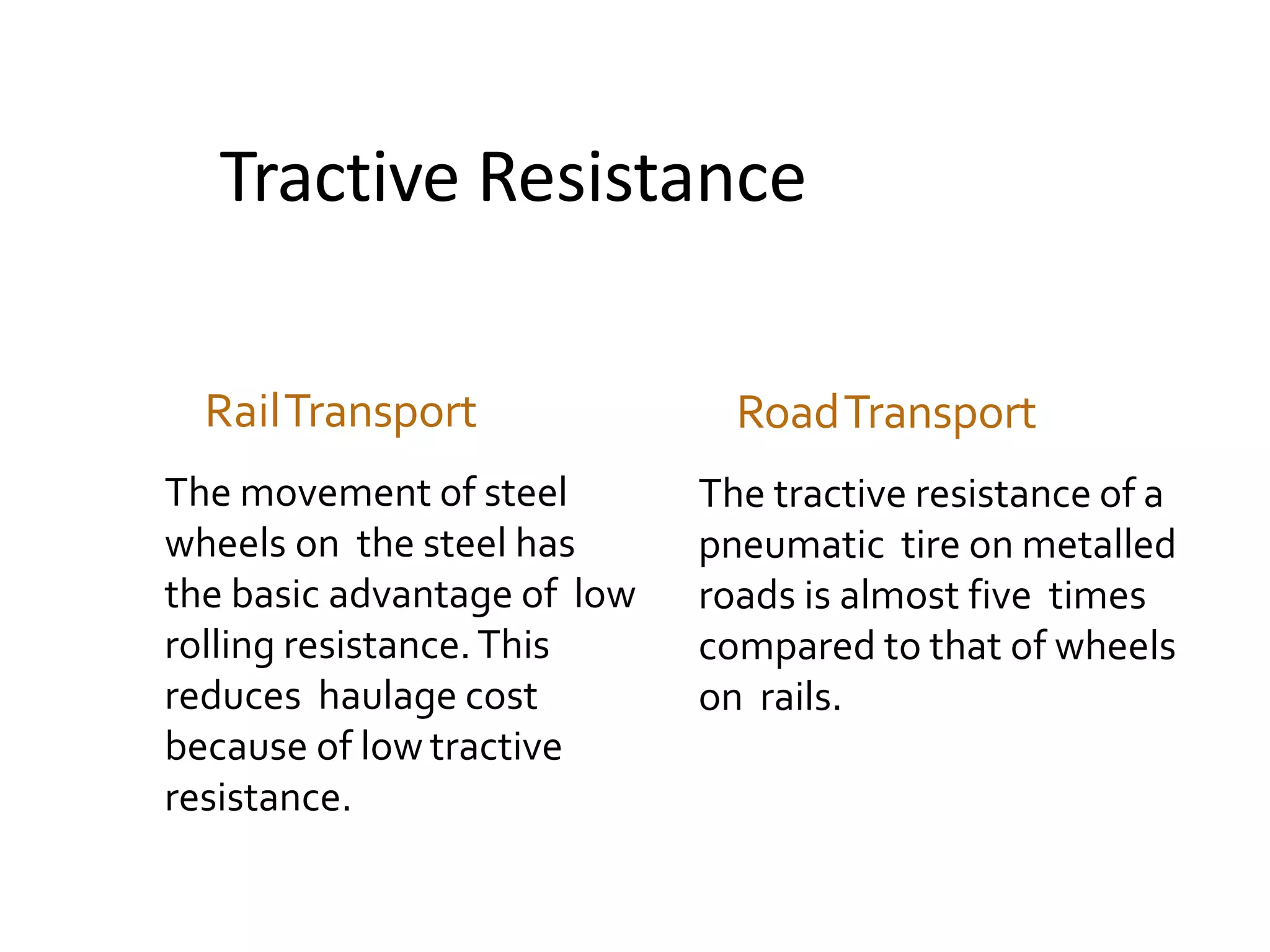
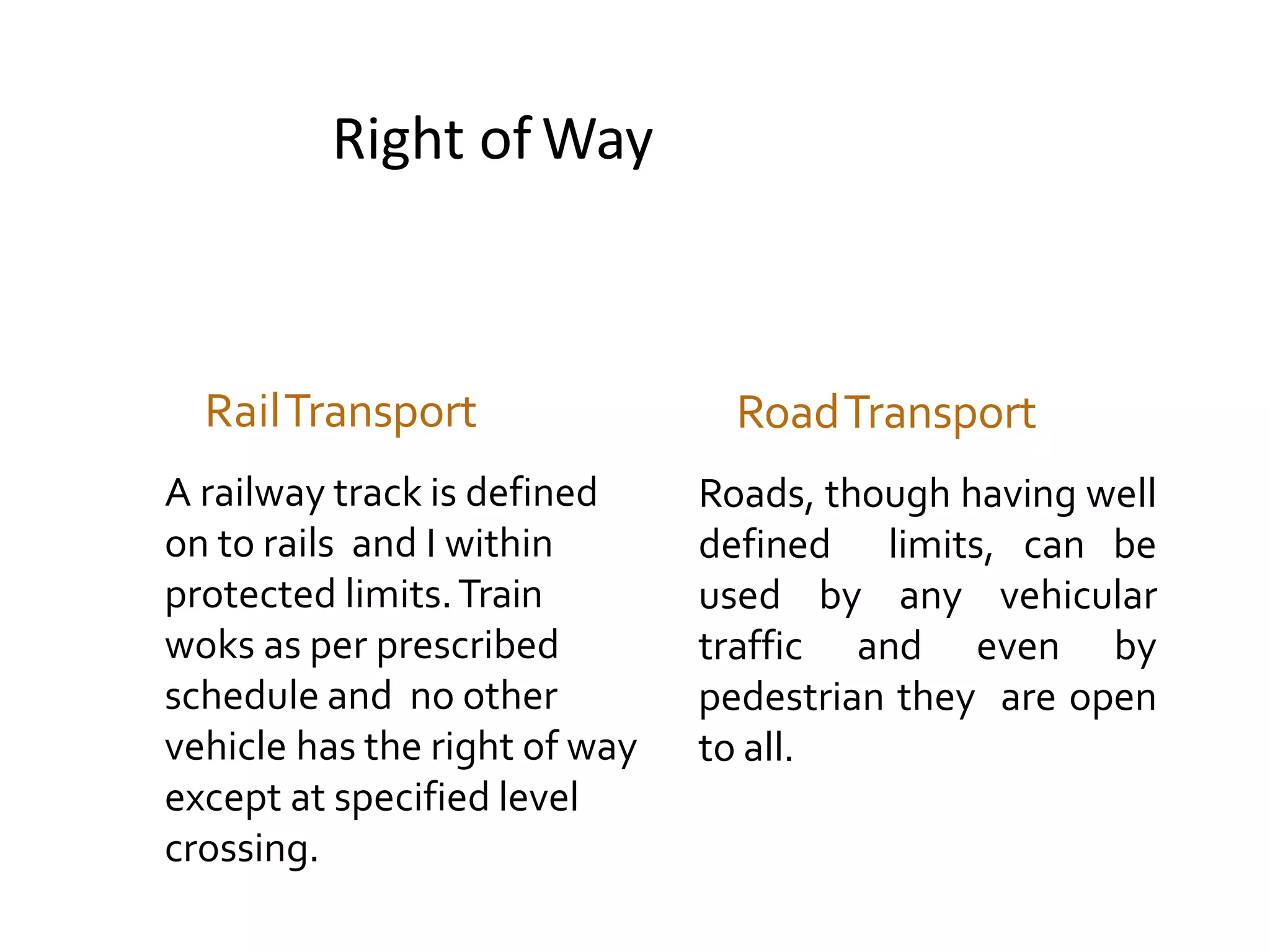
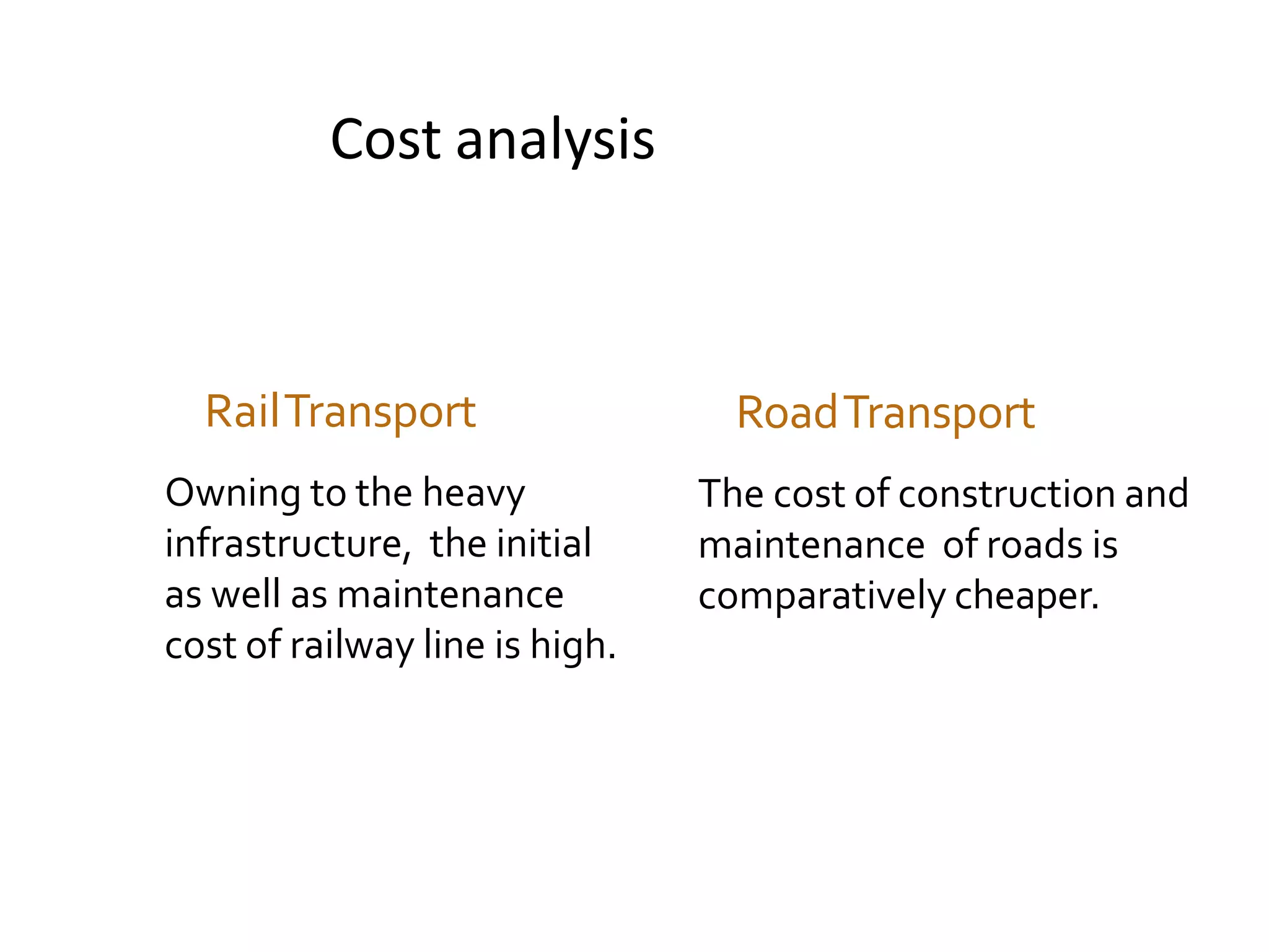
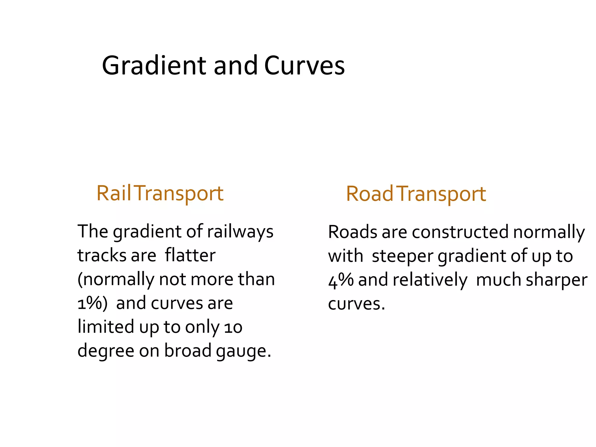


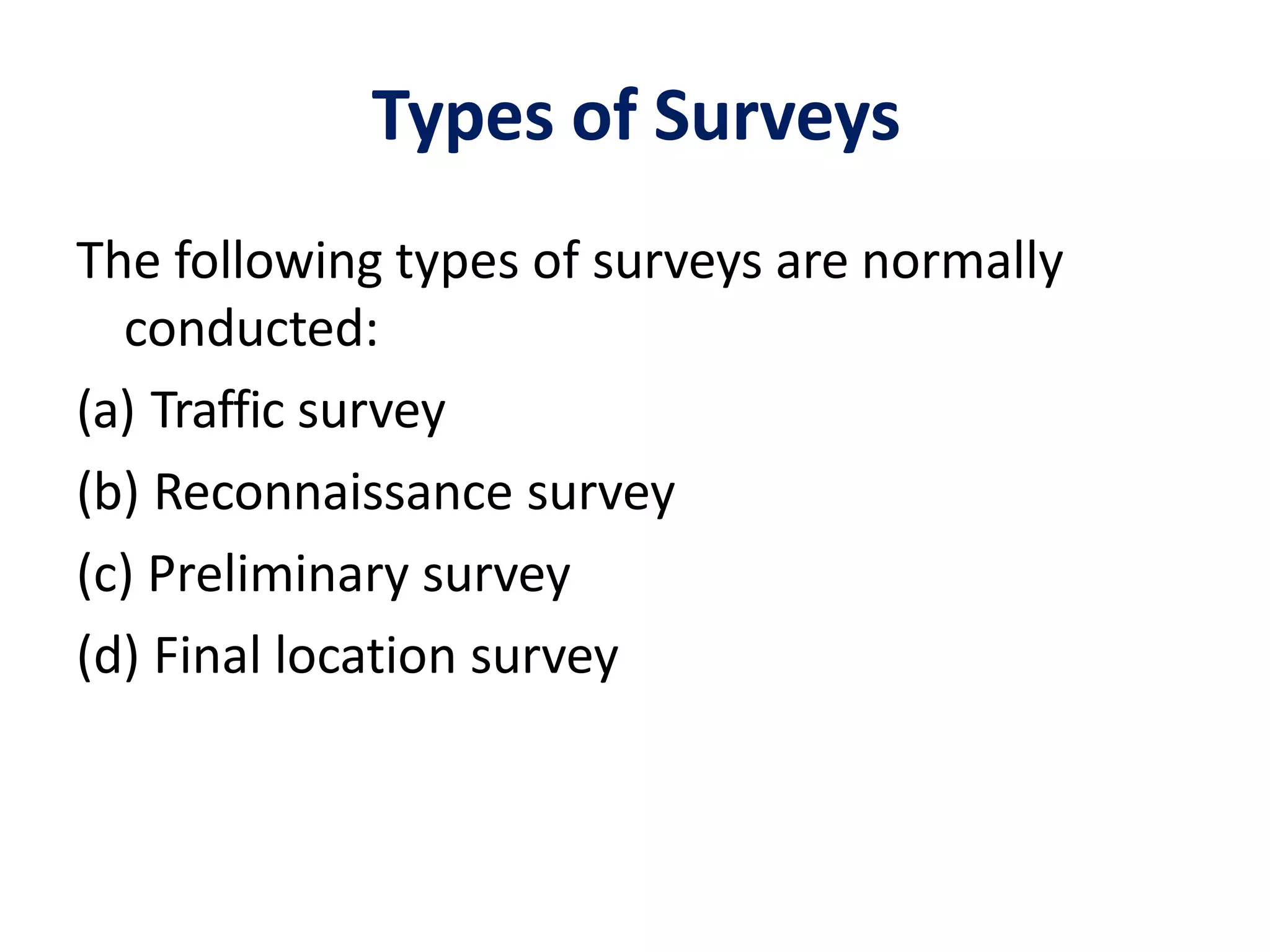
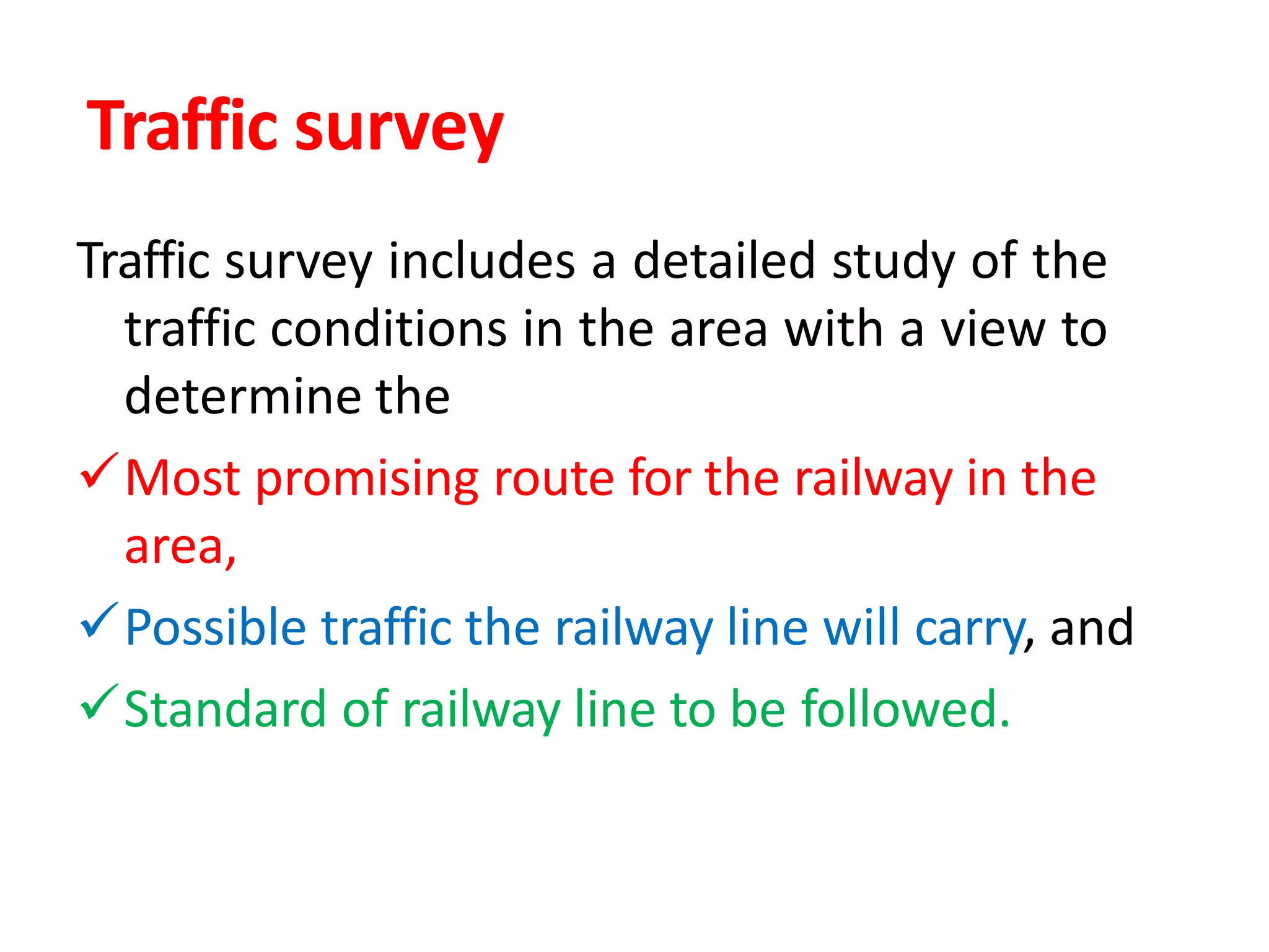
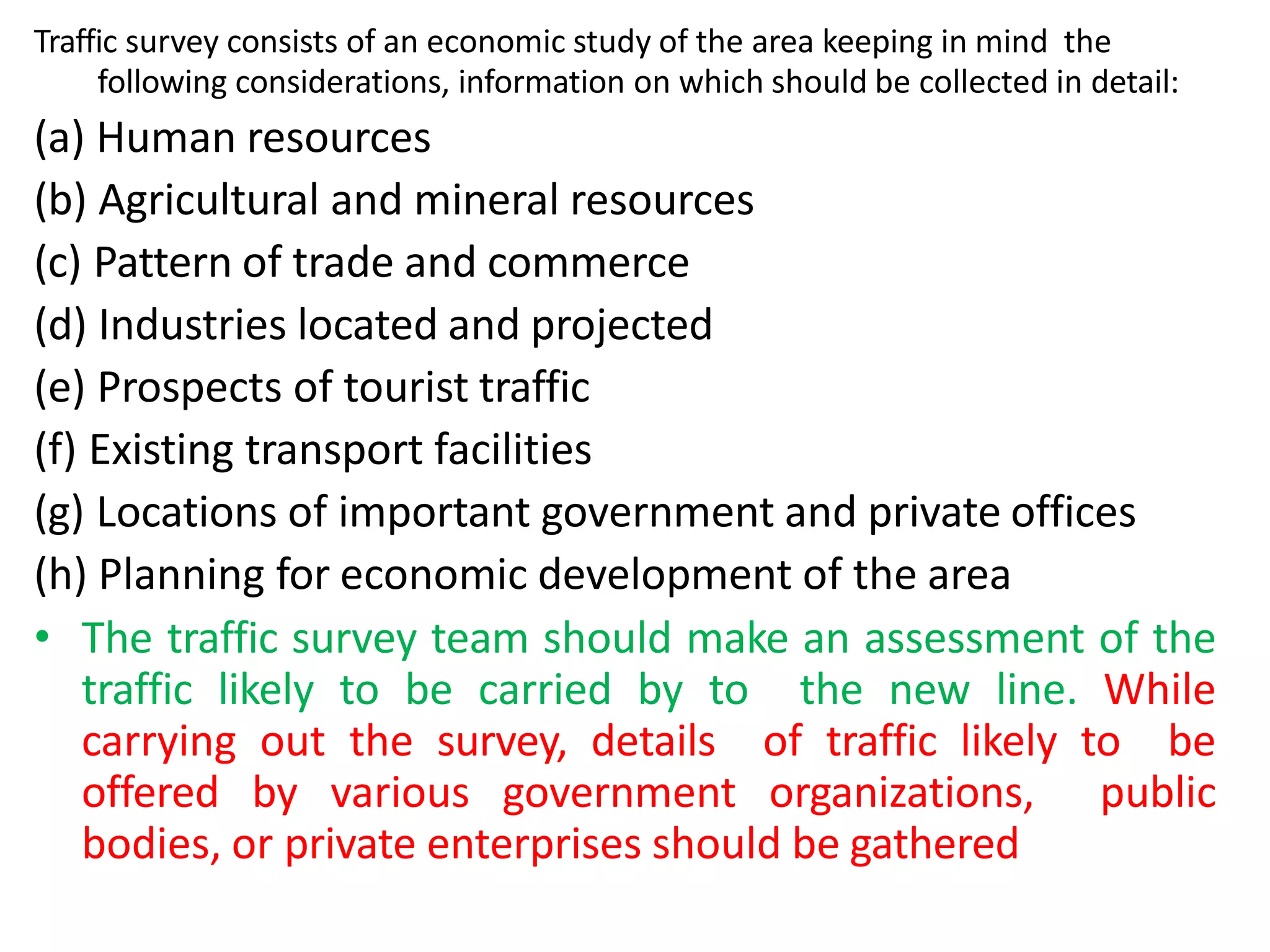
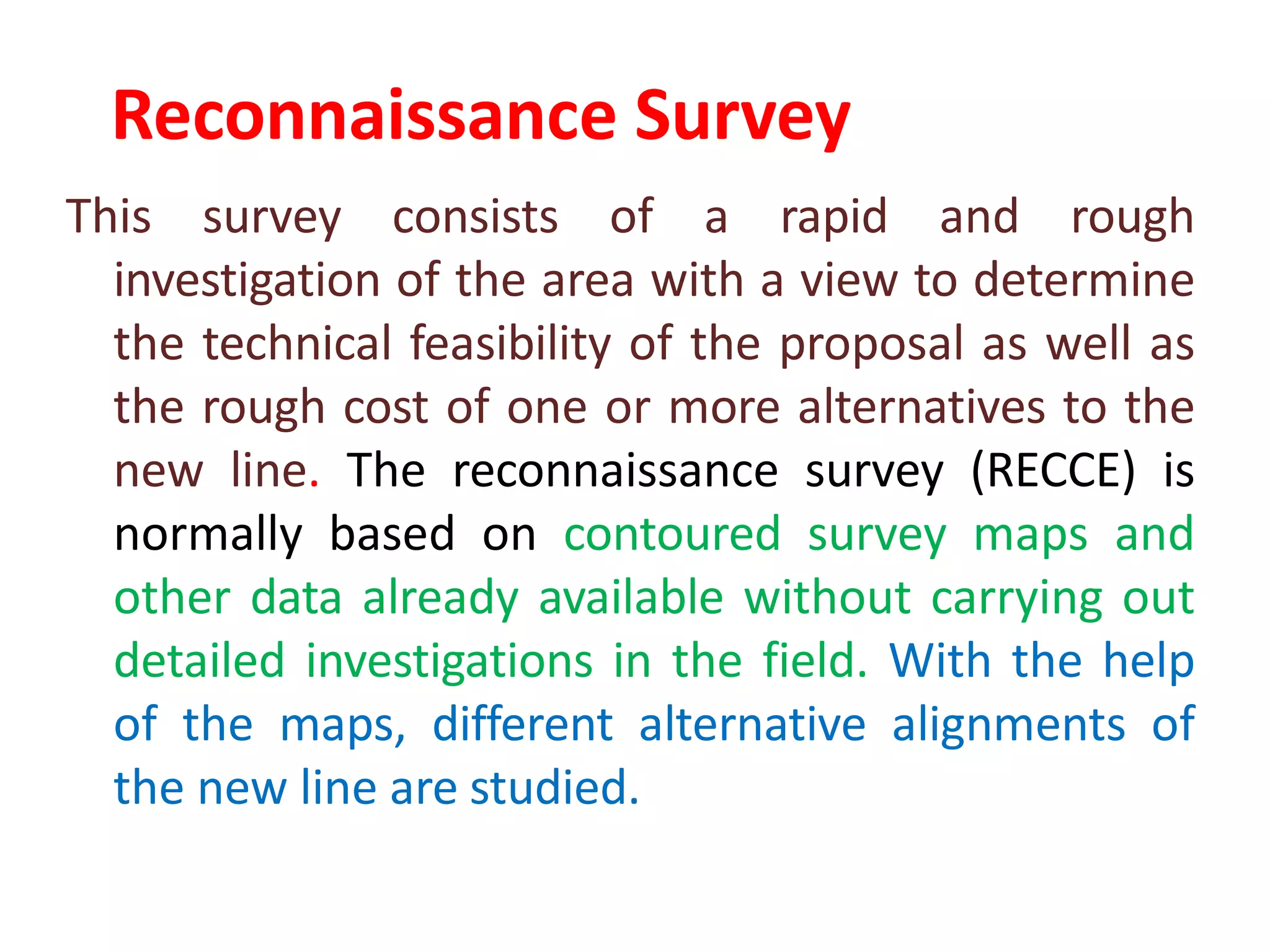
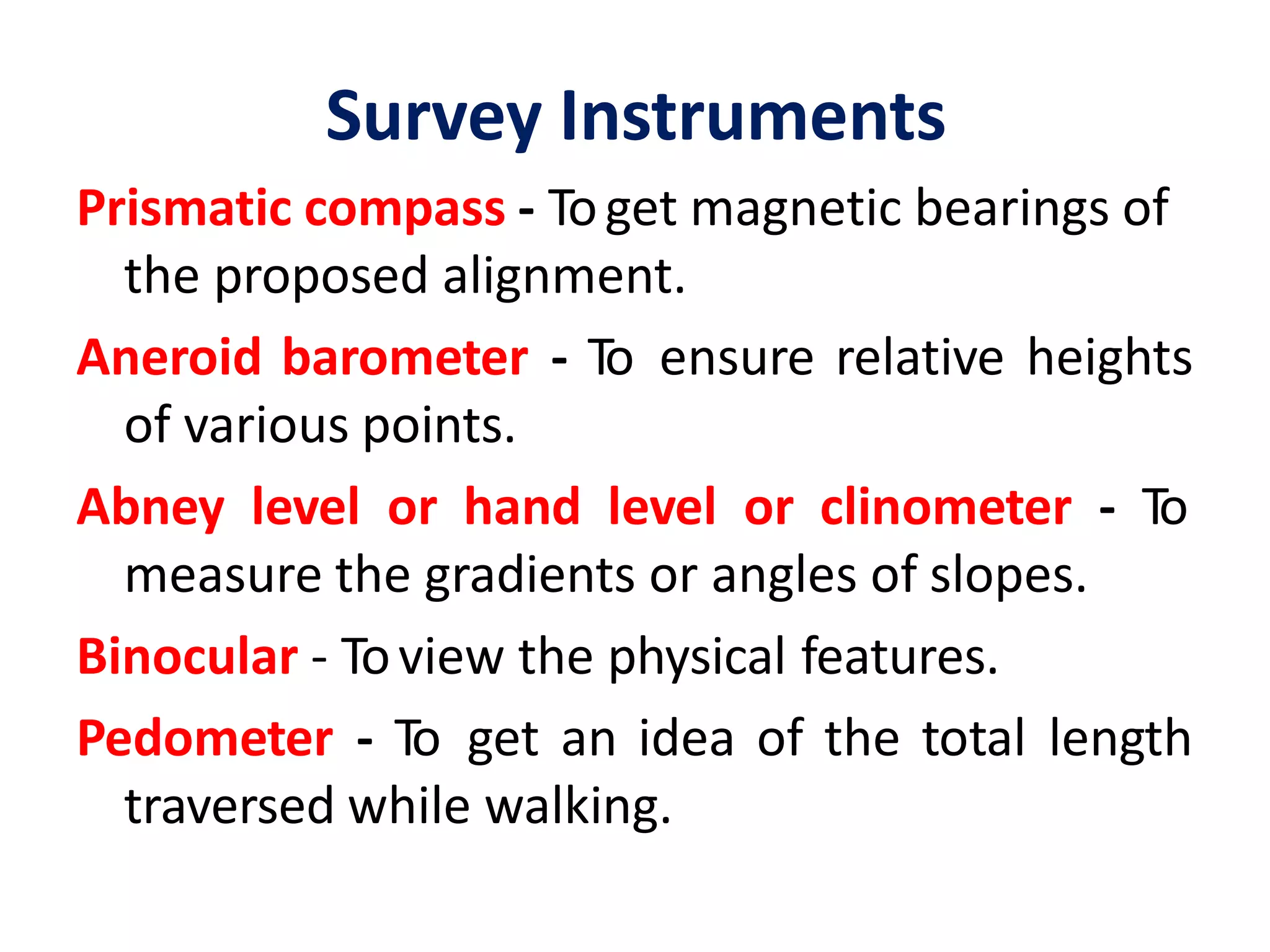
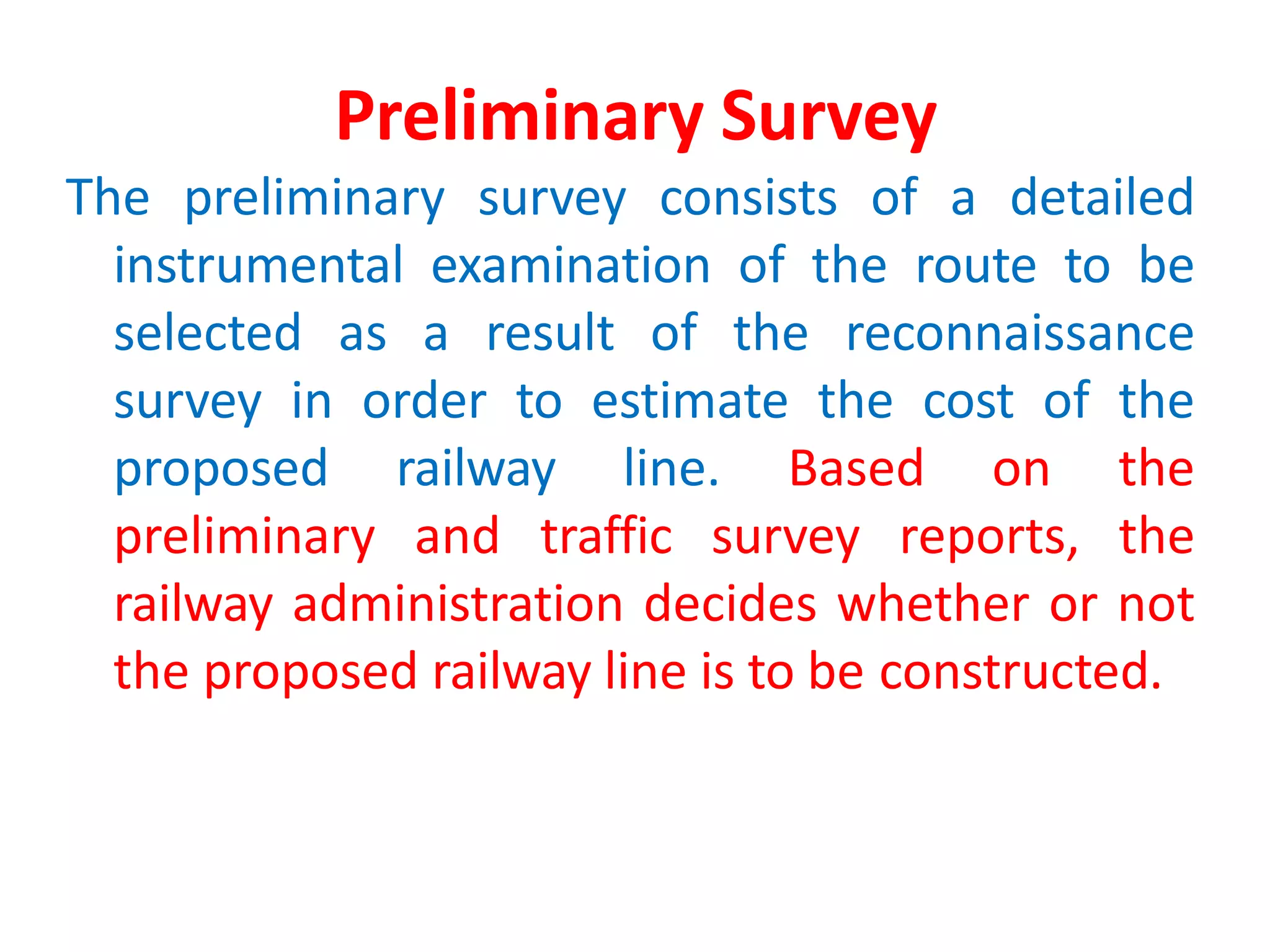
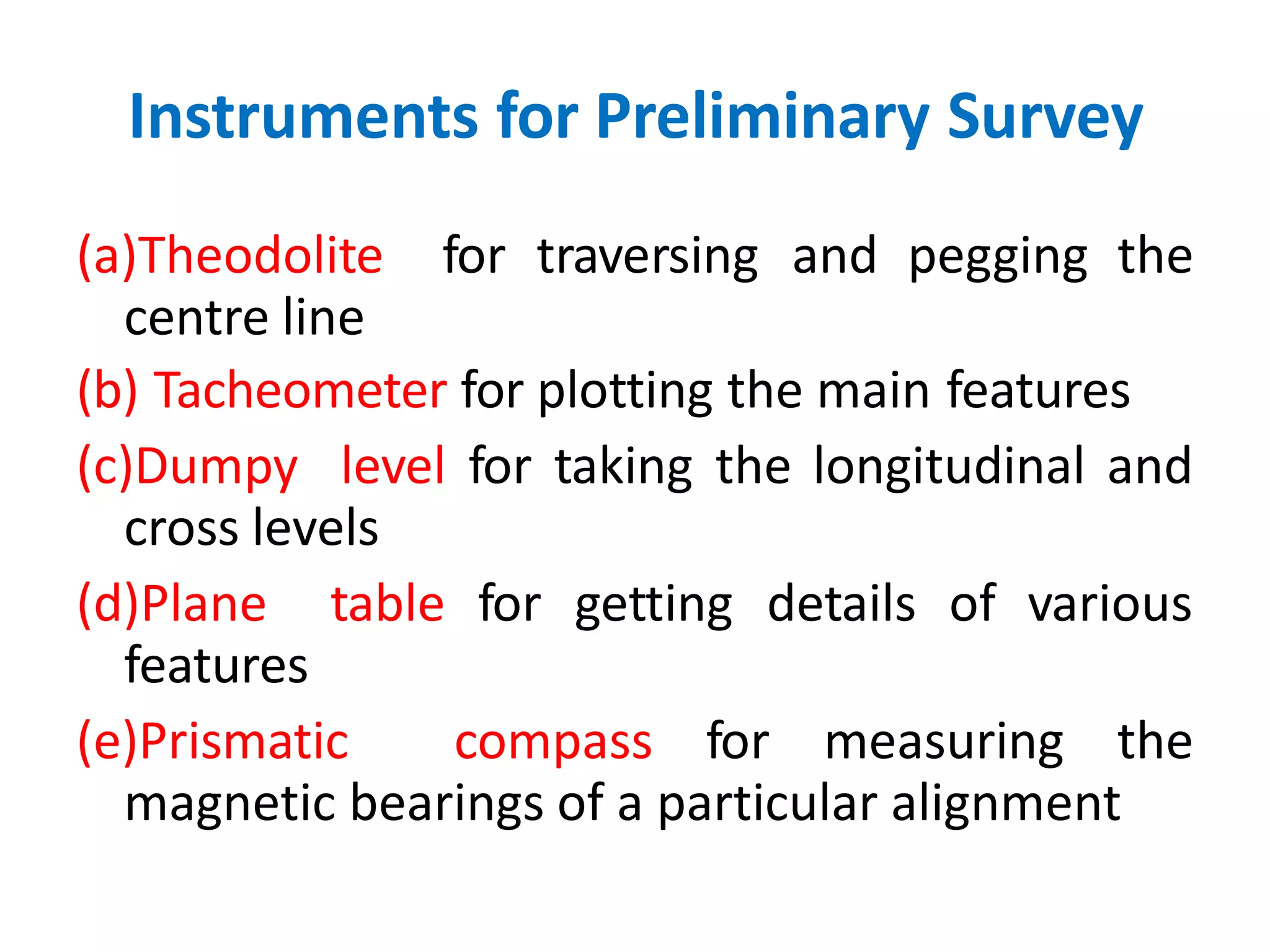
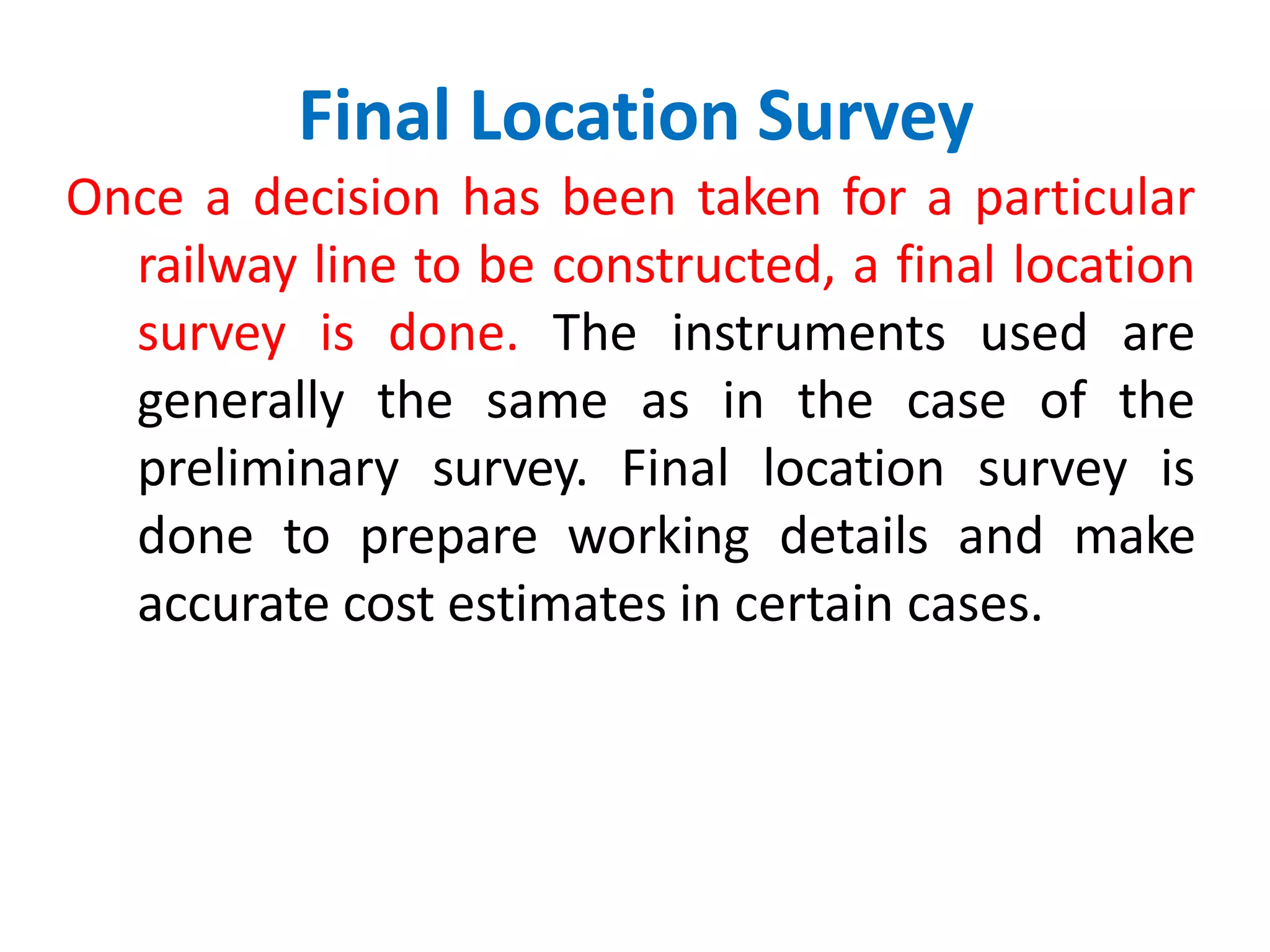
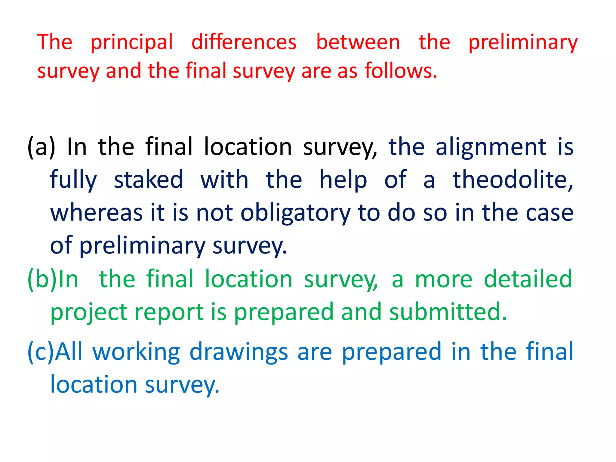
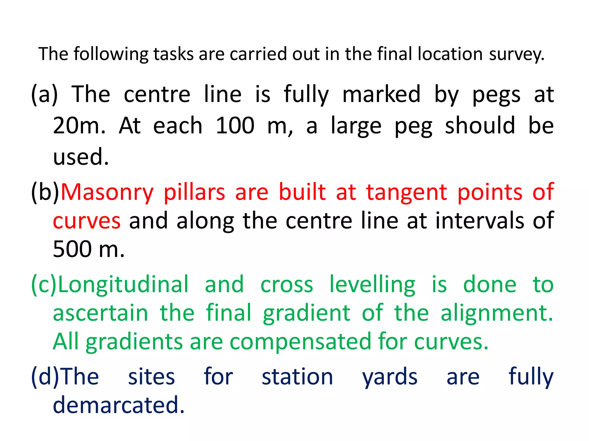
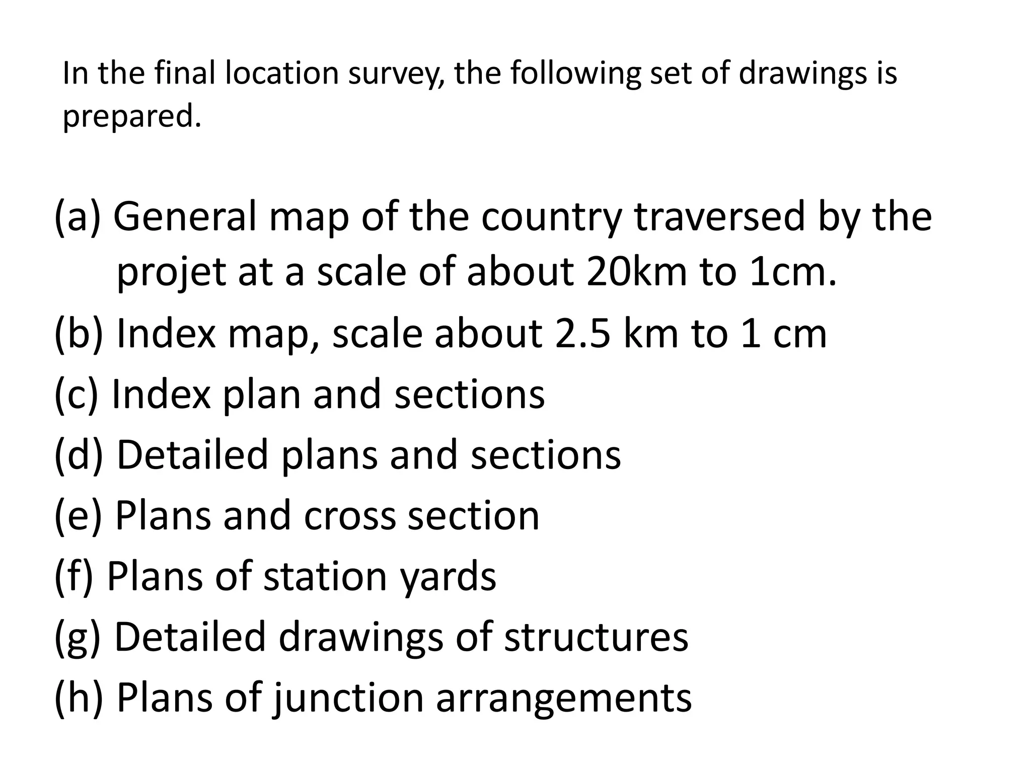


The document discusses railway engineering, emphasizing the comparison between rail and road transport, their respective advantages, and detailed considerations for railway alignment. It outlines different factors affecting railway construction, the necessity for new railway lines based on strategic and developmental needs, and the types of surveys involved in planning and construction. The alignment process is critical for ensuring economic efficiency, safety, and effectiveness in service delivery, and the document covers various engineering and practical considerations related to railway track alignment.


