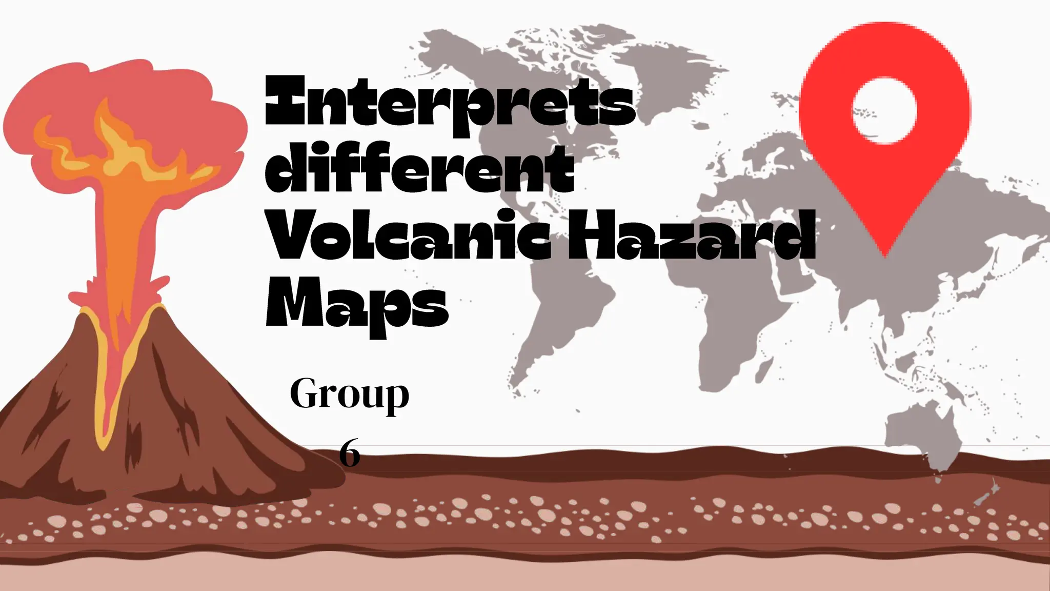
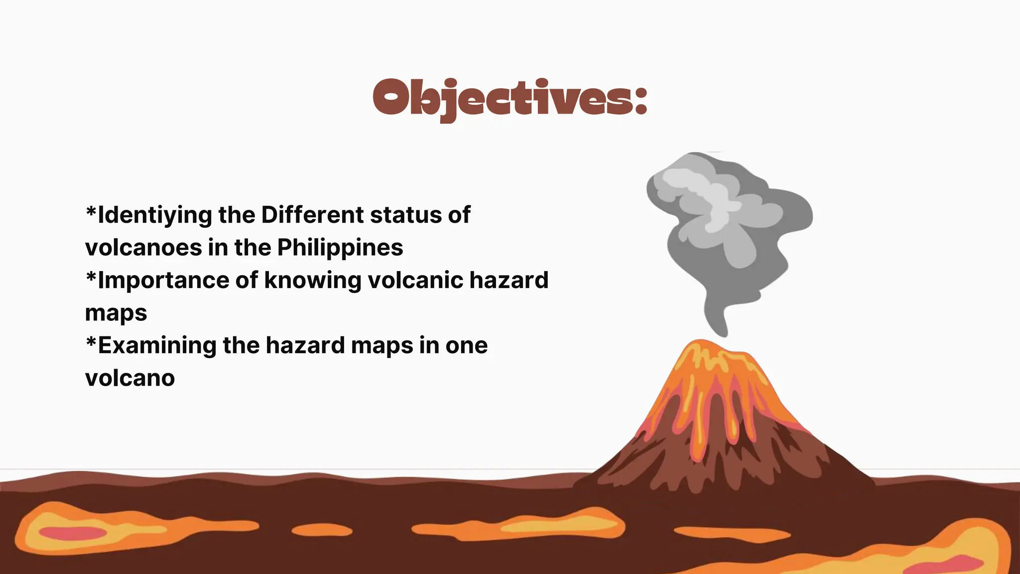
This document discusses volcanic hazards in the Philippines. It begins by outlining three topics: identifying the status of volcanoes in the Philippines, the importance of volcanic hazard maps, and examining hazard maps of one volcano. It then presents ten true/false questions testing knowledge about Philippine volcanoes. The questions cover topics like which volcanoes are active, volcanic distributions, and plate tectonics. Finally, the document describes five types of volcanic hazard maps and their uses and purposes.
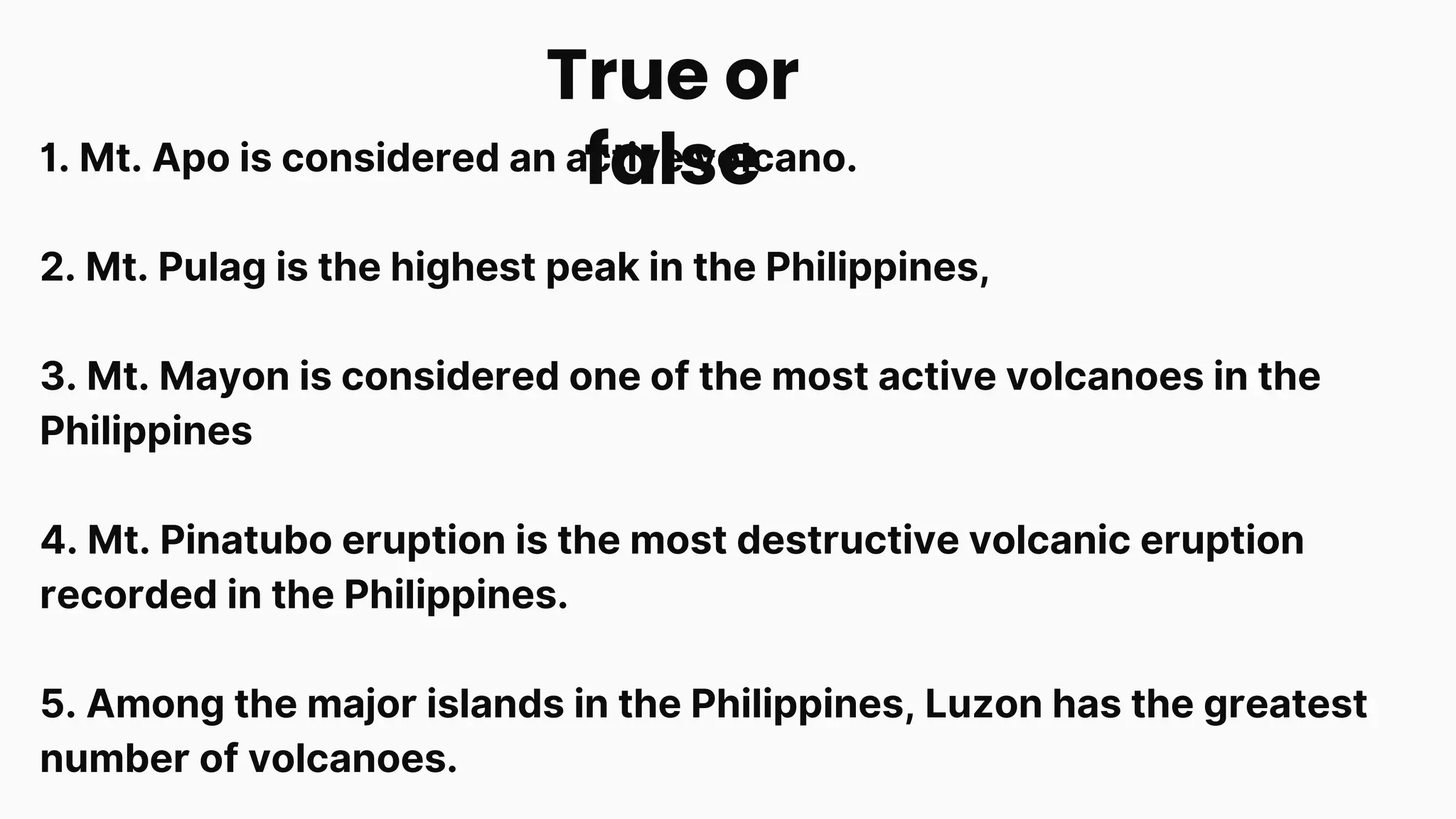
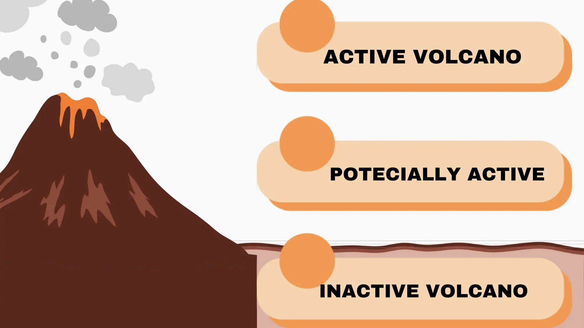
1. Mt. Apois considered an active volcano.
2. Mt. Pulag is the highest peak in the Philippines,
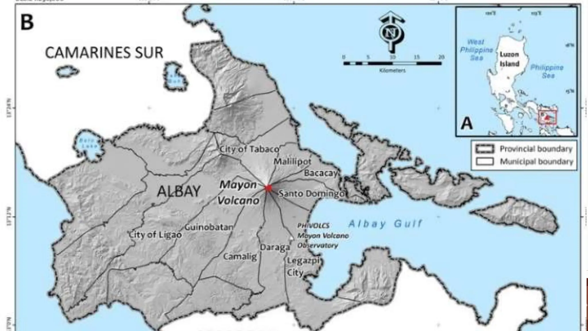
3. Mt. Mayon is considered one of the most active volcanoes in the
Philippines
4. Mt. Pinatubo eruption is the most destructive volcanic eruption
recorded in the Philippines.
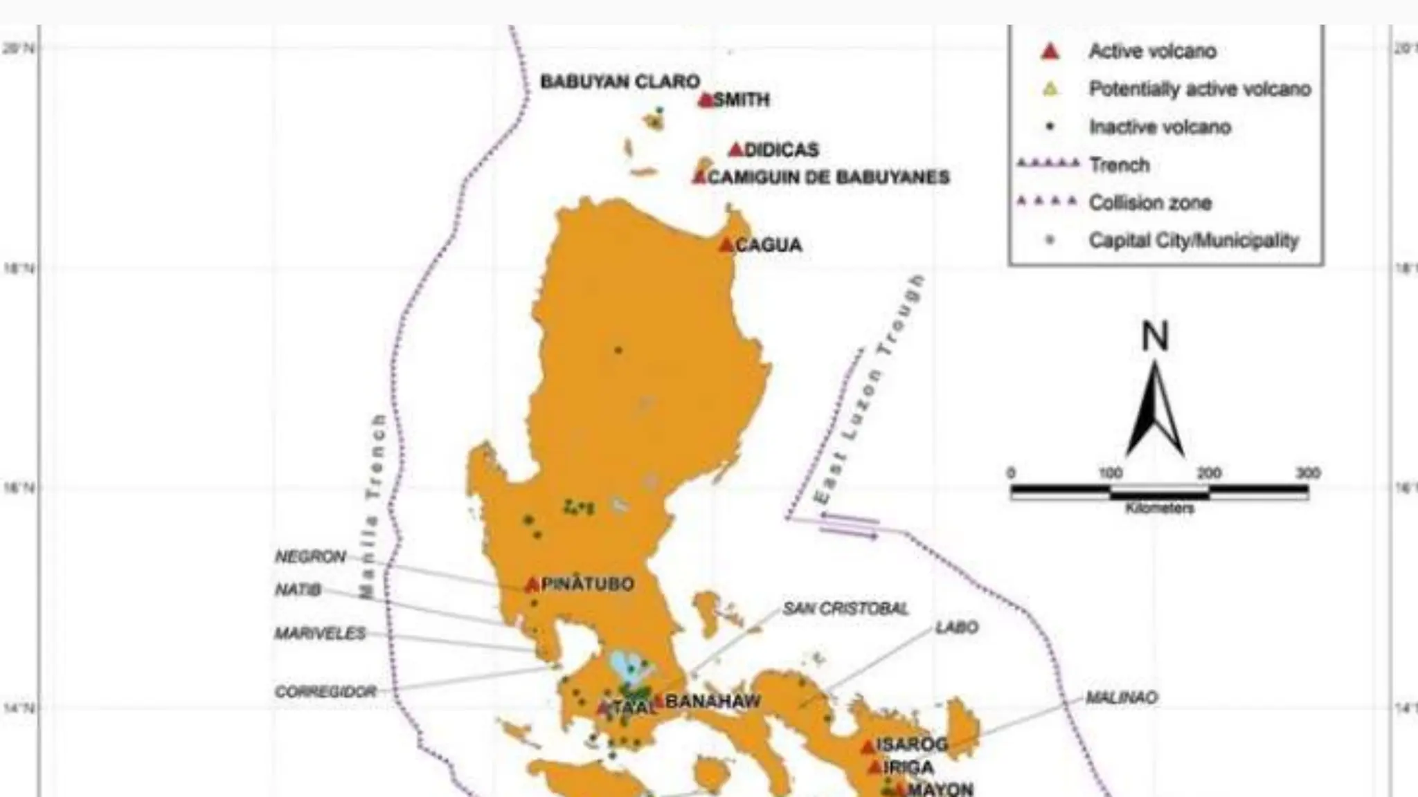
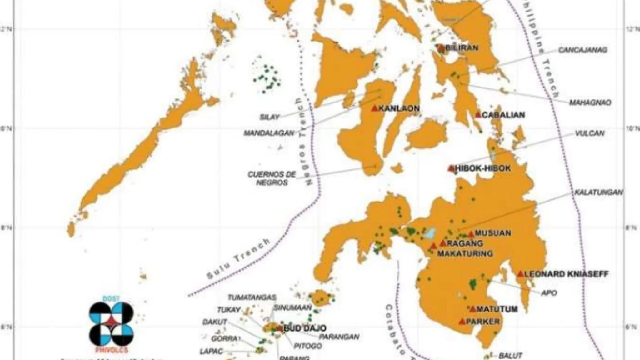
5. Among the major islands in the Philippines, Luzon has the greatest
number of volcanoes.
True or
false
5.
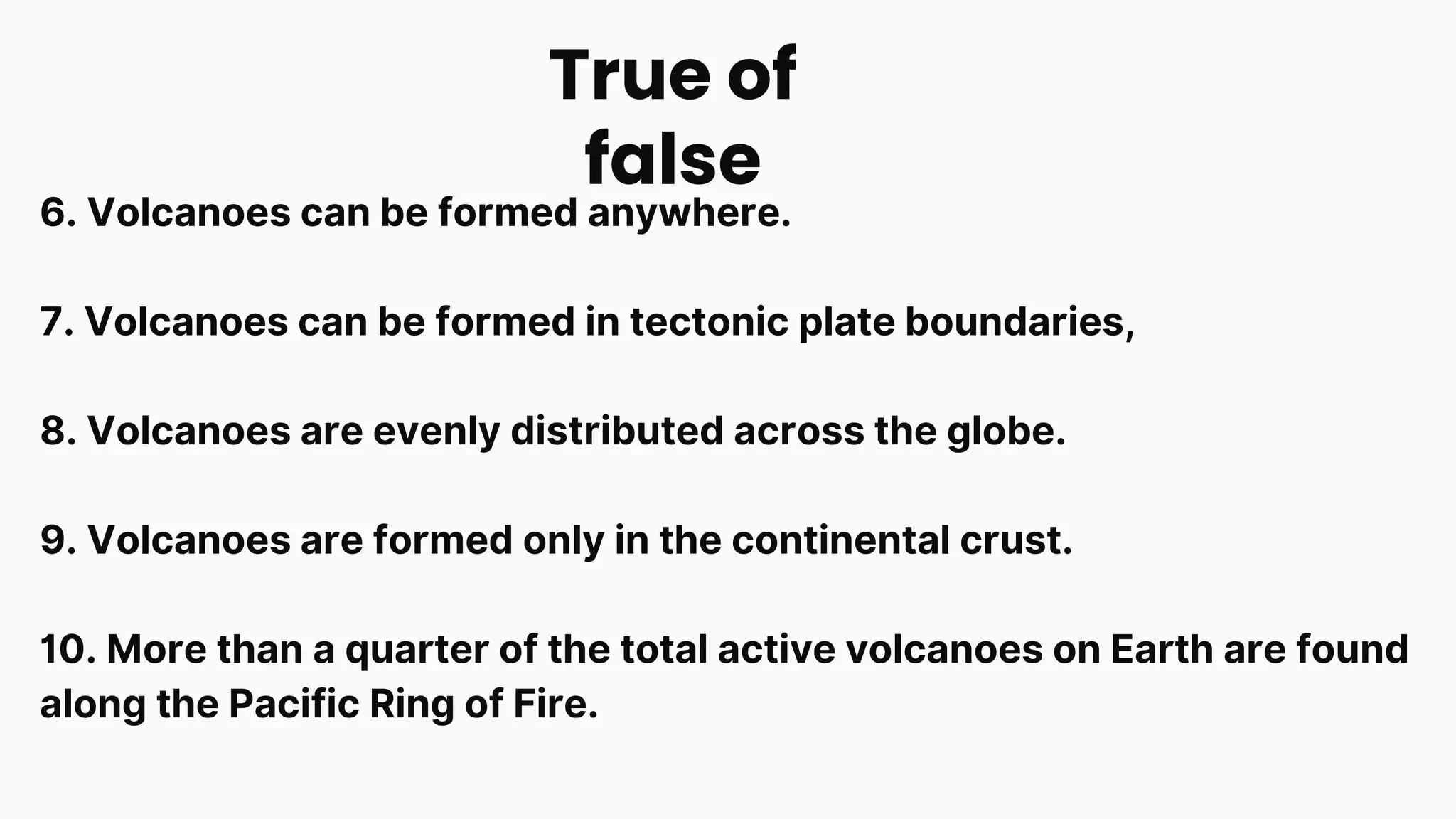
6. Volcanoes canbe formed anywhere.
7. Volcanoes can be formed in tectonic plate boundaries,
8. Volcanoes are evenly distributed across the globe.
9. Volcanoes are formed only in the continental crust.
10. More than a quarter of the total active volcanoes on Earth are found
along the Pacific Ring of Fire.
True of
false
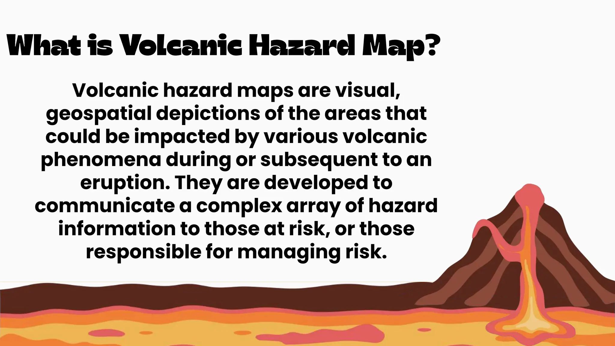
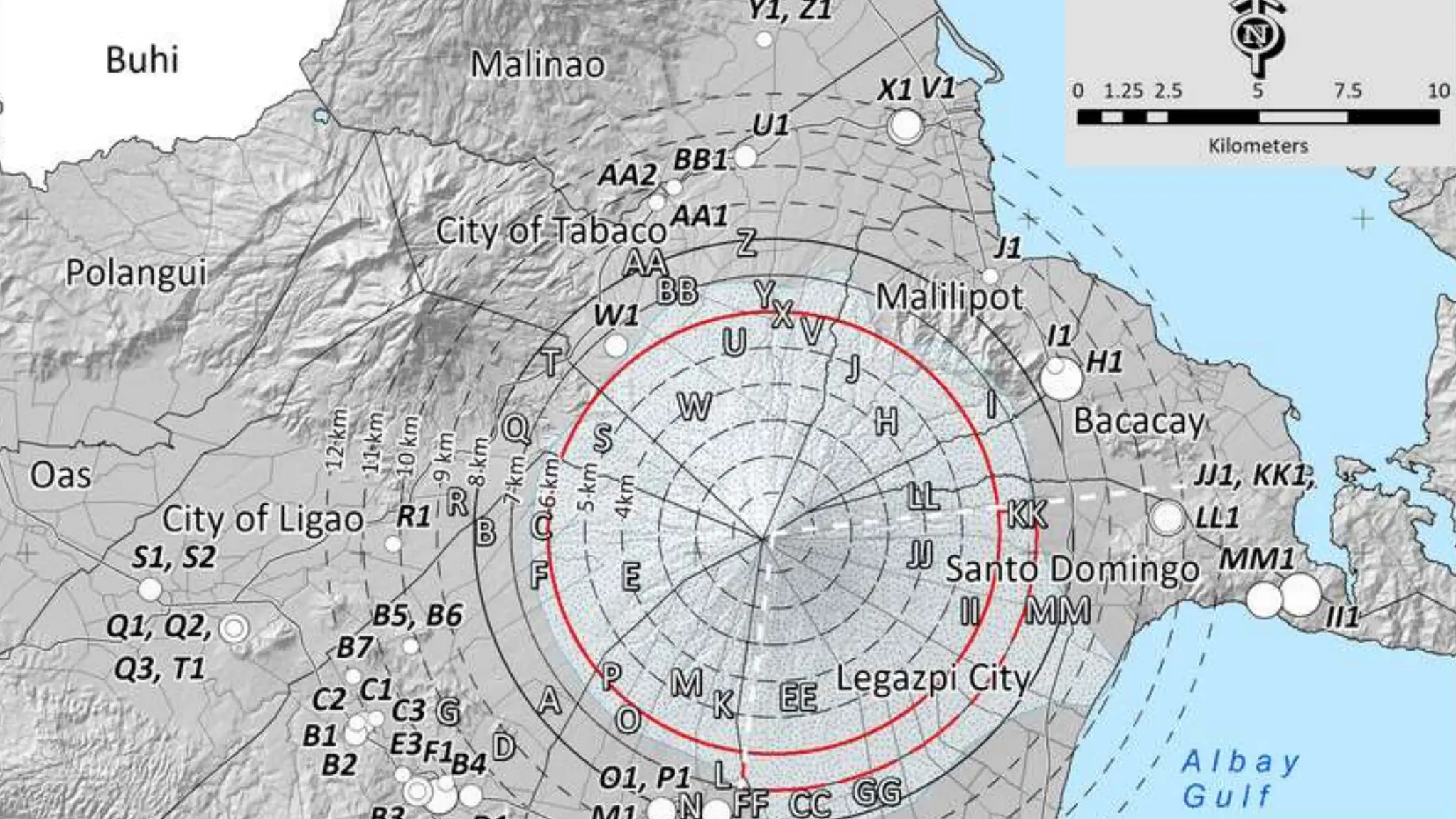
Volcanic hazard mapsare visual,
geospatial depictions of the areas that
could be impacted by various volcanic
phenomena during or subsequent to an
eruption. They are developed to
communicate a complex array of hazard
information to those at risk, or those
responsible for managing risk.
12.
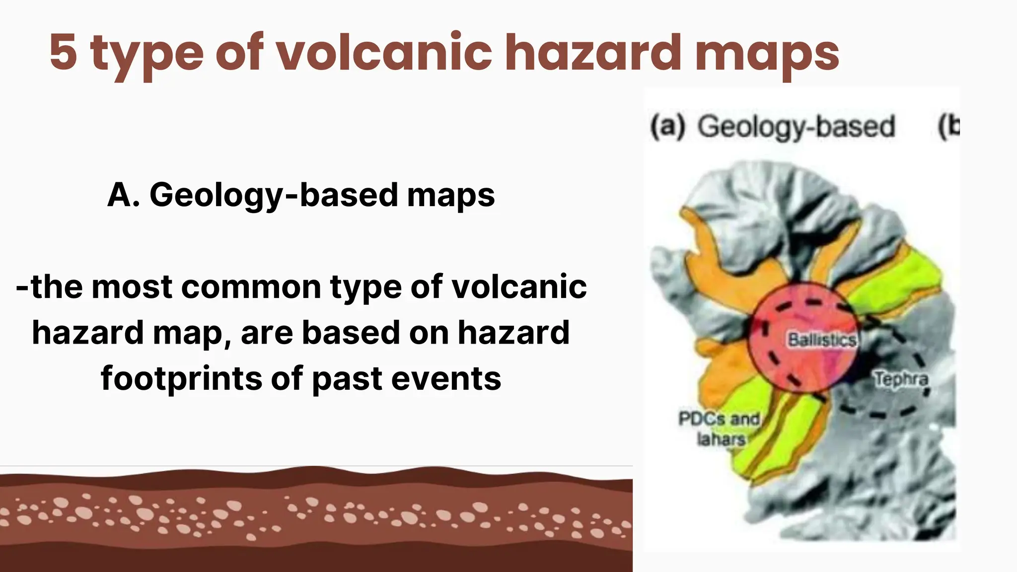
5 type ofvolcanic hazard maps
A. Geology-based maps
-the most common type of volcanic
hazard map, are based on hazard
footprints of past events
13.
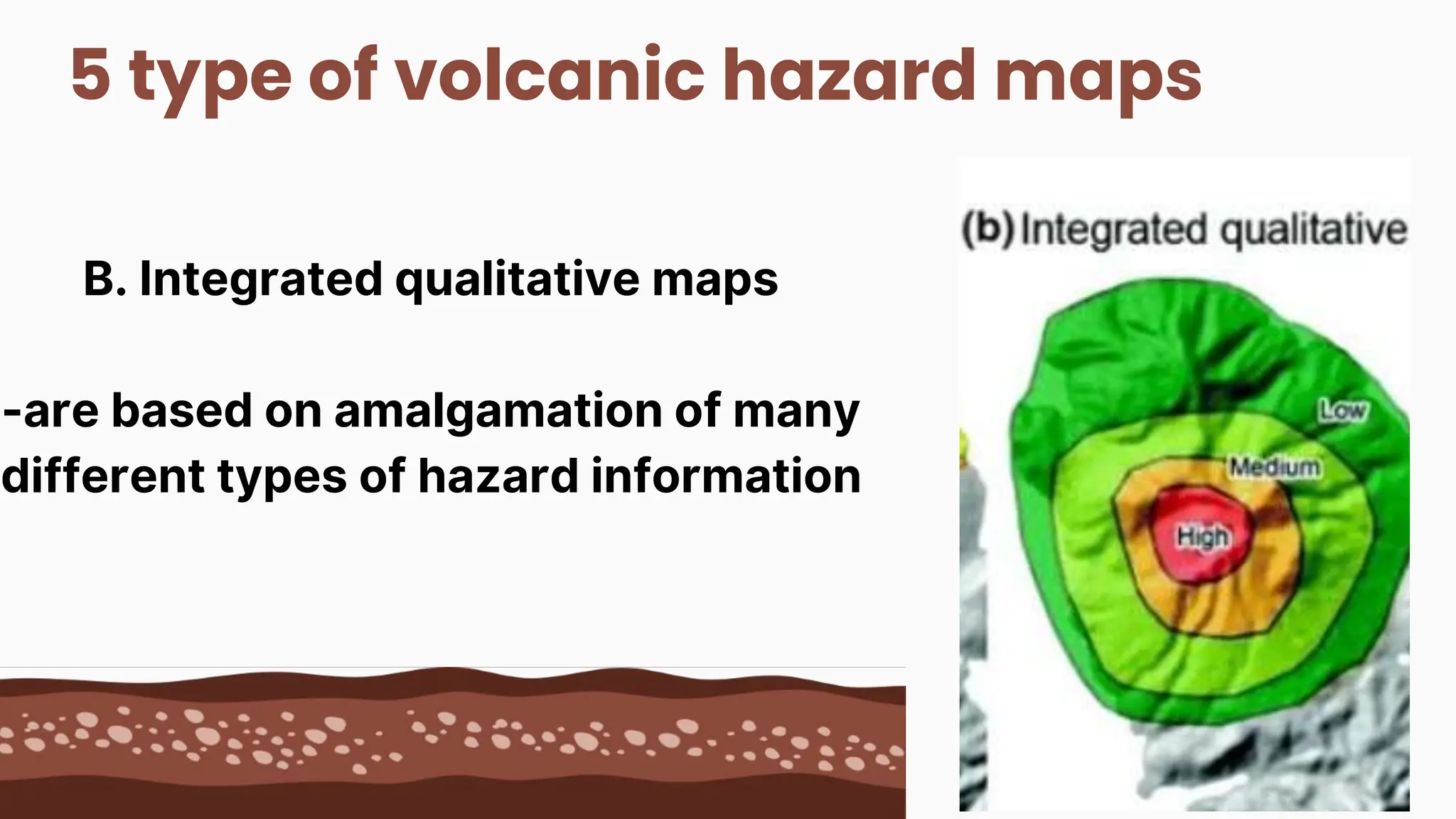
5 type ofvolcanic hazard maps
B. Integrated qualitative maps
-are based on amalgamation of many
different types of hazard information
14.
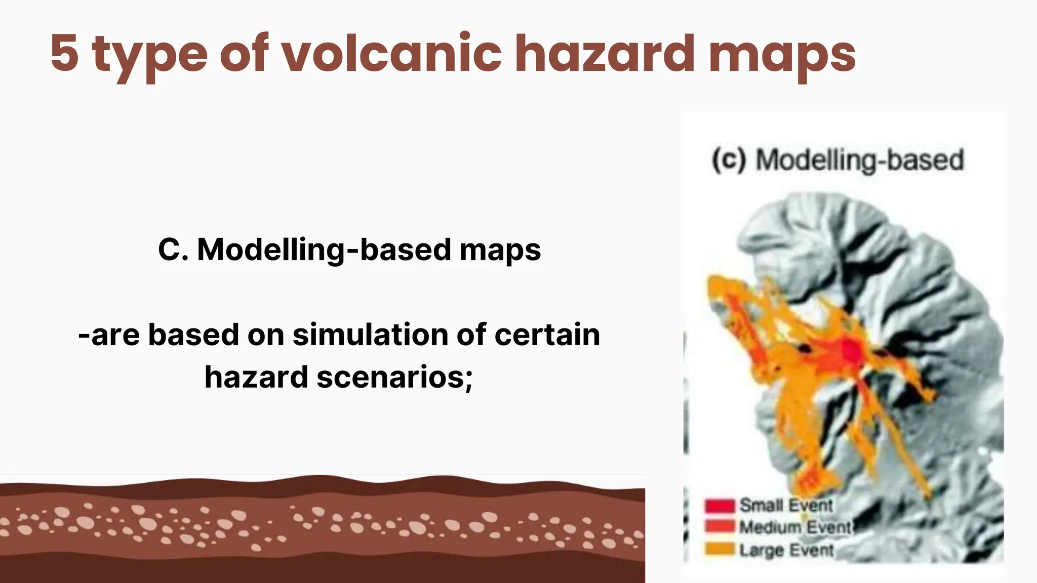
5 type ofvolcanic hazard maps
C. Modelling-based maps
-are based on simulation of certain
hazard scenarios;
15.
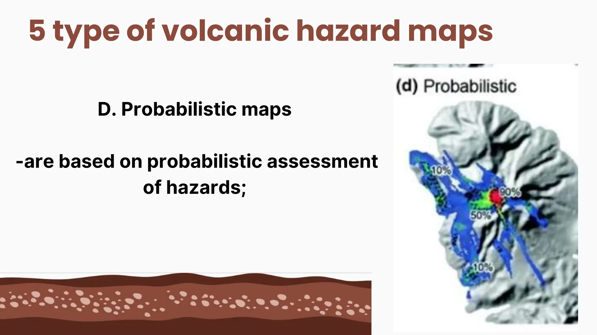
5 type ofvolcanic hazard maps
D. Probabilistic maps
-are based on probabilistic assessment
of hazards;
16.
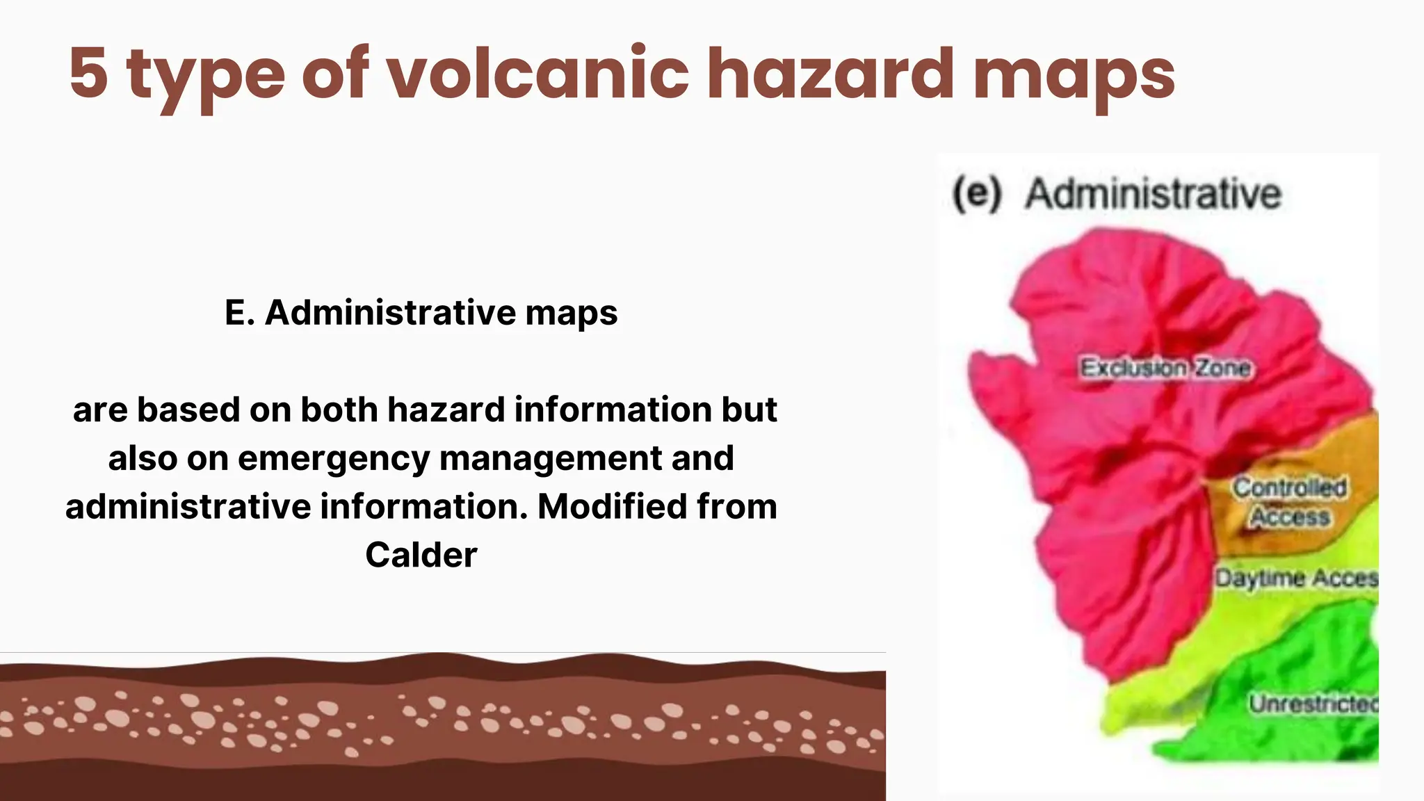
5 type ofvolcanic hazard maps
E. Administrative maps
are based on both hazard information but
also on emergency management and
administrative information. Modified from
Calder