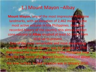
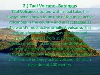
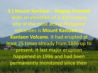
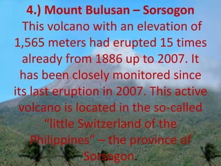
The document provides information about an upcoming group presentation for BSED 1 at St. Joseph including the following objectives:
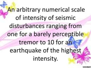
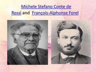
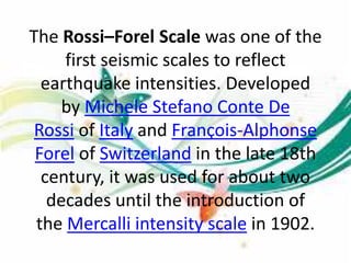
- Understanding the Rossi-Forel scale and those involved in developing it
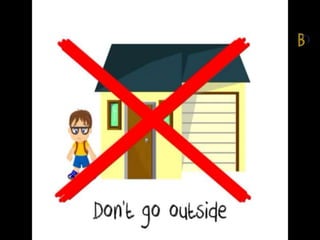
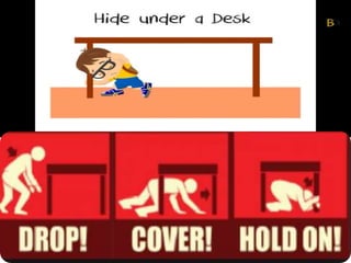
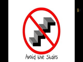
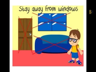
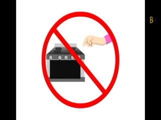
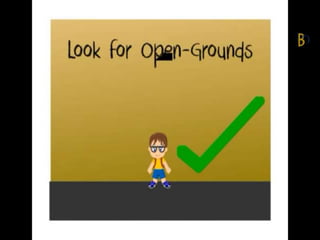
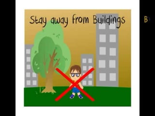
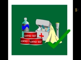
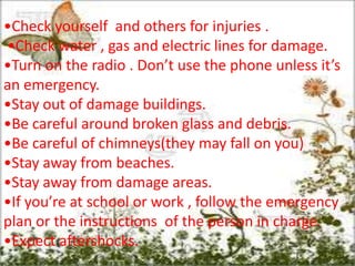
- Learning what to do during and after an earthquake
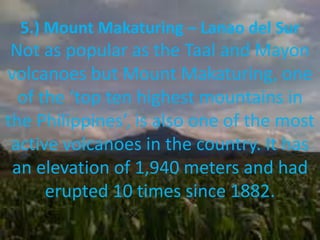
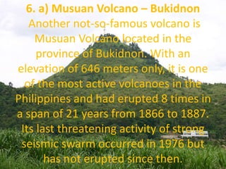
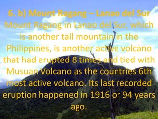
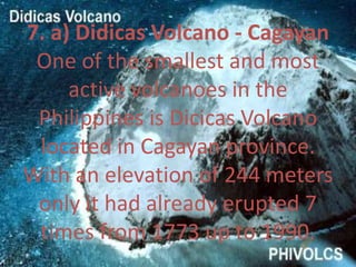
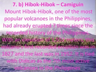
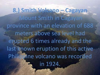
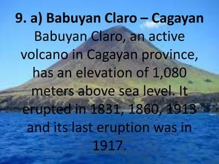
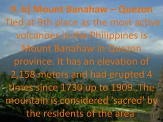
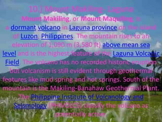
- Discussing information about active and inactive volcanoes in the Philippines
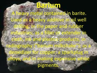
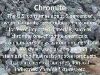
- Defining mineral characteristics
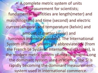
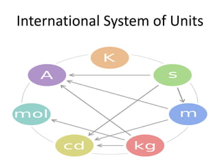
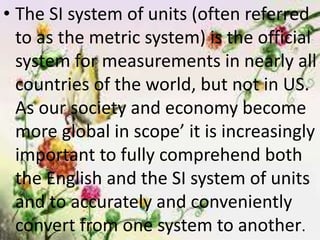
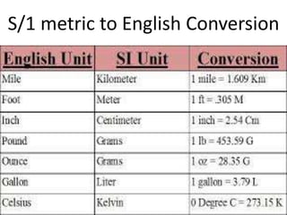
- Understanding measurement systems
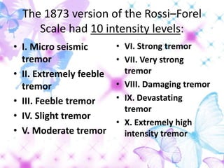
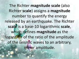
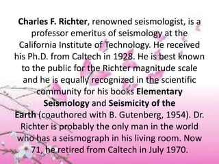
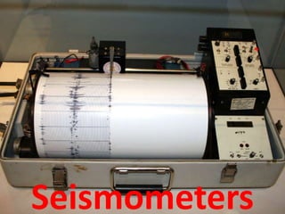
It then provides details on the Rossi-Forel scale, Richter scale, seismometers, earthquake damage reduction, and what to do during/after an earthquake. Finally, it lists the top 10 most and least active volcanoes in the Philippines.