


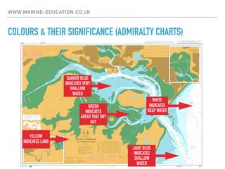
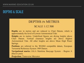
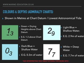
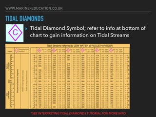
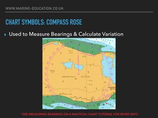
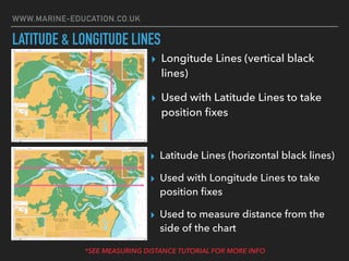
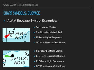
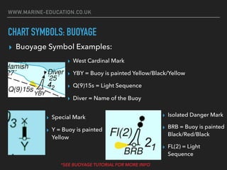
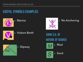
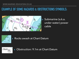
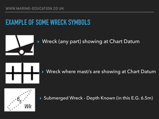


This document provides an introduction to nautical charts, including Admiralty charts. It explains that charts show water depths, shorelines, hazards, buoys and other navigational markers using standardized symbols and colors. Depths are shown in meters and refer to the chart datum, or lowest astronomical tide. The document provides examples of features found on nautical charts such as latitude and longitude lines, tidal diamonds, compass roses, buoys, wrecks, obstructions and seabed composition. It encourages further learning about charts and navigation through online courses and videos.


