Download as PDF, PPTX
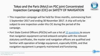
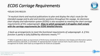
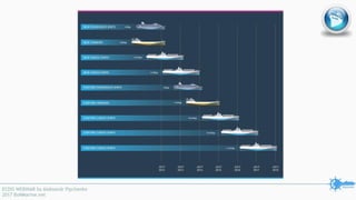
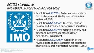
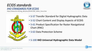
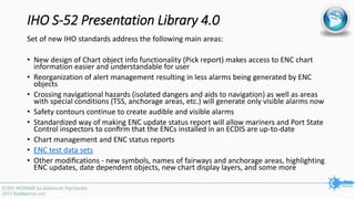
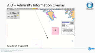
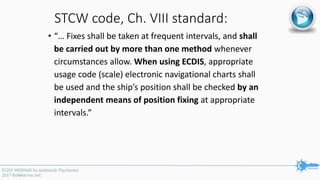
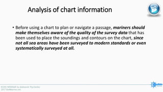
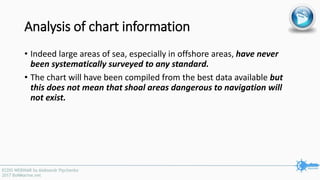
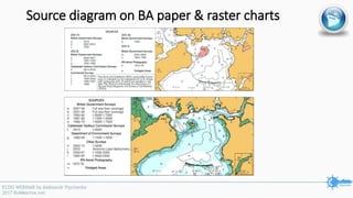
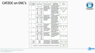
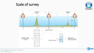
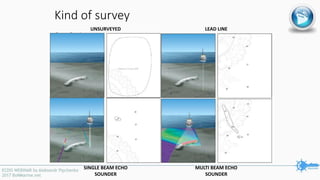
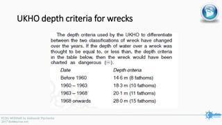

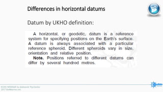
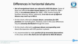
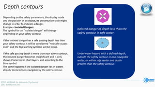
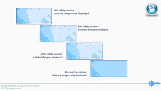
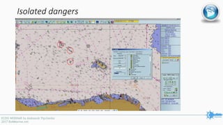
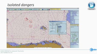
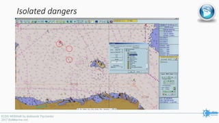

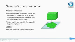
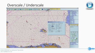
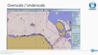
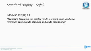
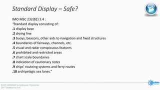

The document outlines a joint concentrated inspection campaign on safety of navigation focusing on ECDIS, scheduled from September 1 to November 30, 2017. It details the compliance requirements for ECDIS, including updated performance standards, back-up arrangements, and checks by port state control officers. Additionally, it discusses new IHO standards for electronic navigational charts and the accuracy standards for navigational equipment under various maritime conditions.


