Downloaded 28 times
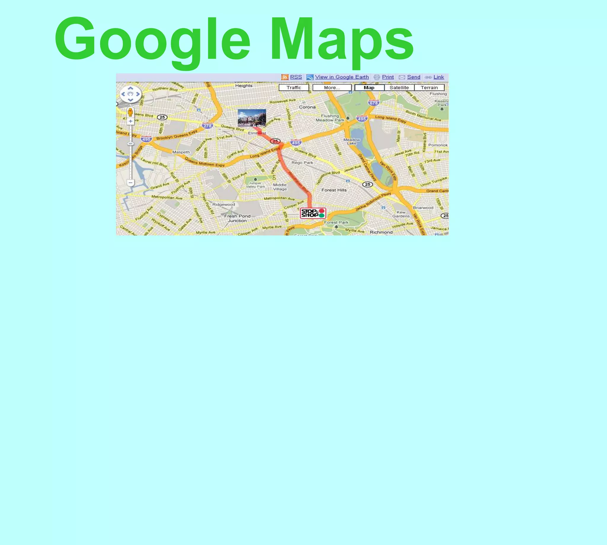
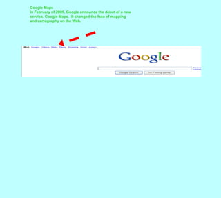
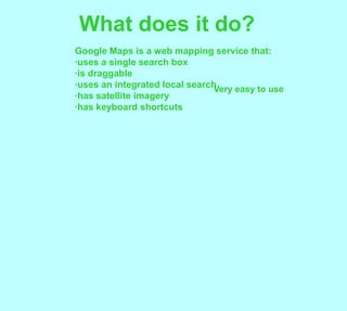


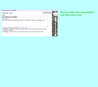
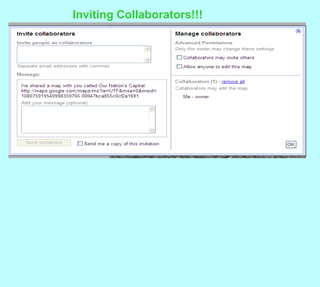


Google Maps is an online mapping service that allows users to search for locations, get directions, and view satellite imagery. It launched in 2005 and made mapping much more accessible online. Users can enter locations, zoom in and out on maps, view street imagery, and customize maps. Google Maps uses geocoding to convert addresses into latitude and longitude coordinates to display on maps. It offers keyboard shortcuts and various display options to control map views.


