Download to read offline
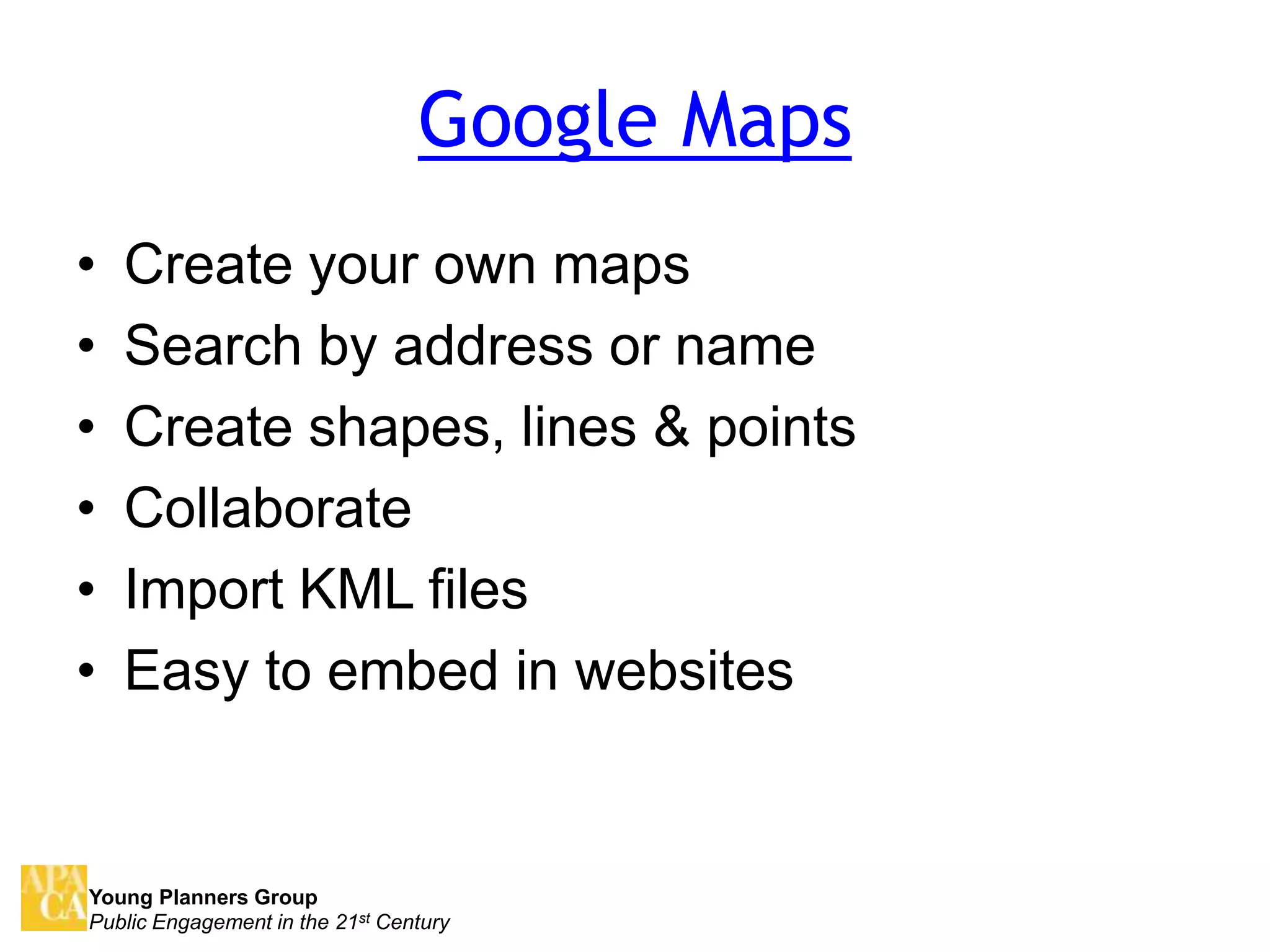
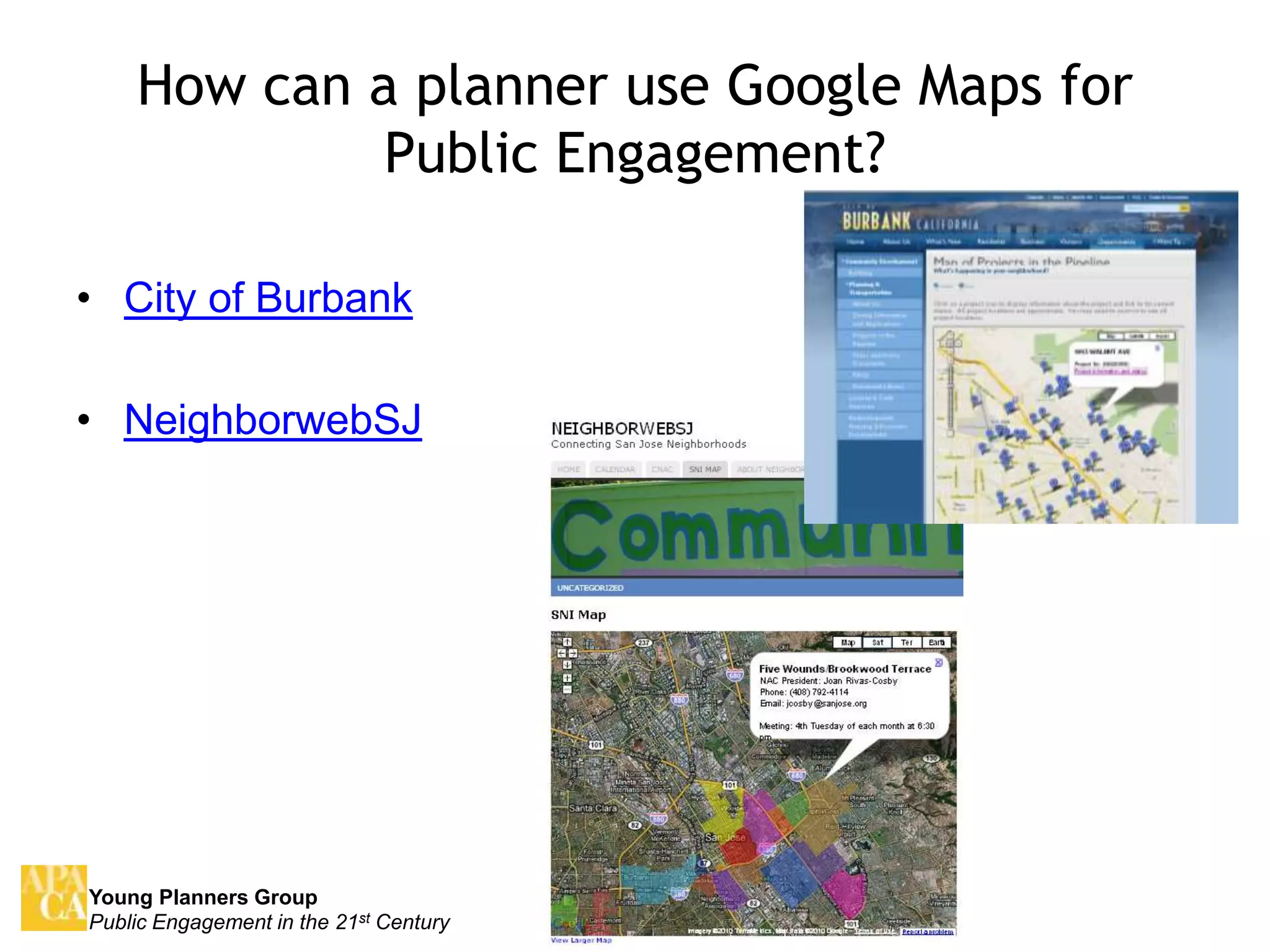
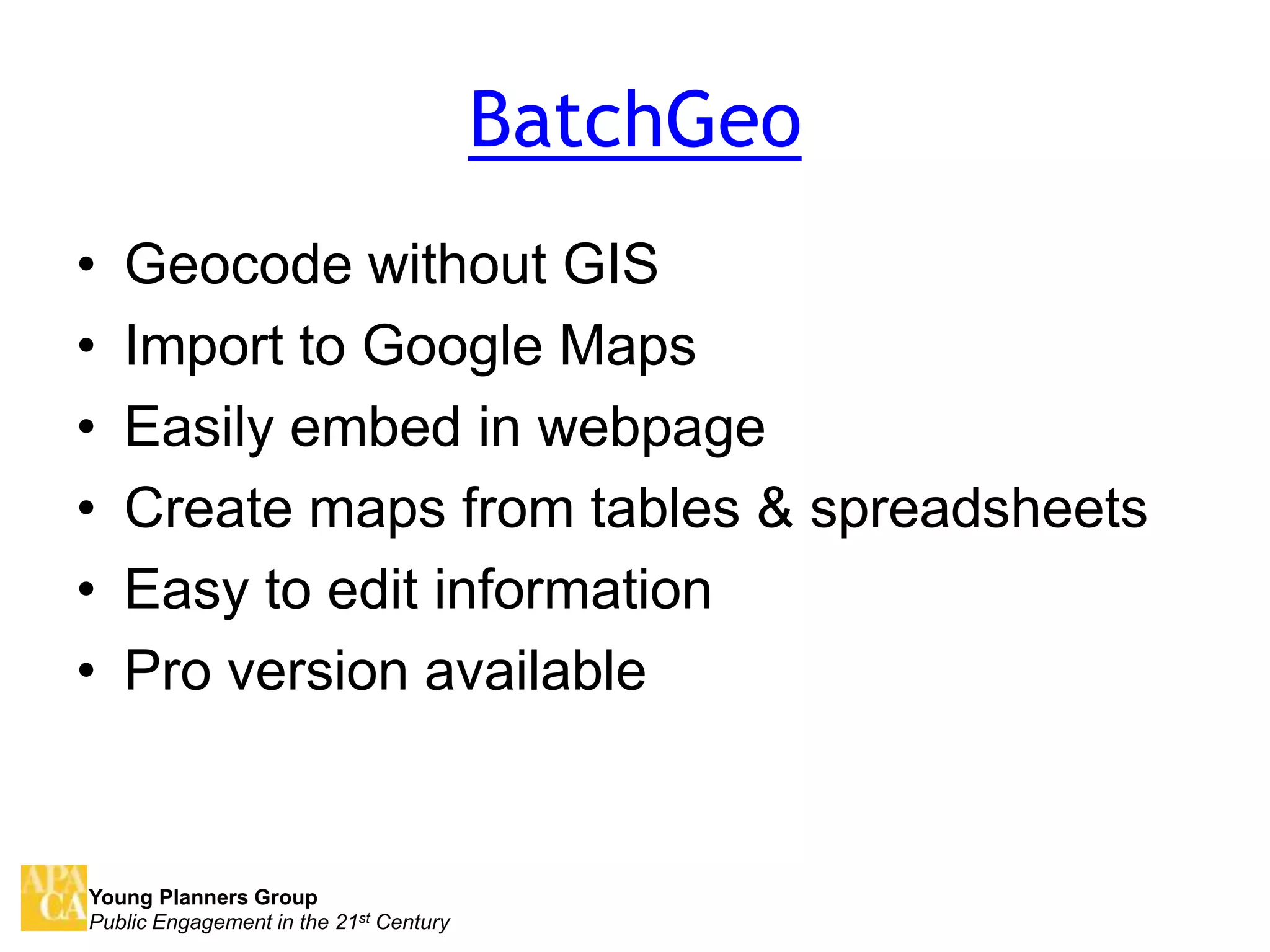
Natalie de Leon presented on using online mapping tools like Google Maps, Google Earth, BatchGeo and Scribble Maps for public engagement by planners. Google Maps allows users to create custom maps with points, lines and shapes that can be embedded on websites and collaborated on. BatchGeo helps geocode data and import to Google Maps from tables and spreadsheets. Google Earth allows creating interactive tours and posts. Scribble Maps works with Google Maps and Earth and allows sharing maps on social media. The presentation provided examples of how cities have used these tools and contacted information for Natalie de Leon.


![[vietnamese] Tiểu sử Steve jobs - walter_isaacson_](https://cdn.slidesharecdn.com/ss_thumbnails/stevejobsbywalterisaacsonvietnamese-140914210125-phpapp02-thumbnail.jpg?width=640&height=640&fit=bounds)