Downloaded 624 times


Geotechnical engineering involves assessing soil and earth conditions to inform construction decisions, addressing questions related to building safety and infrastructure development. Professionals in this field include geotechnical engineers, civil engineers, GIS analysts, land surveyors, and construction representatives, with varying educational requirements and salaries. This document outlines the roles, responsibilities, and career outlook in geotechnical engineering, emphasizing its critical importance in construction projects.
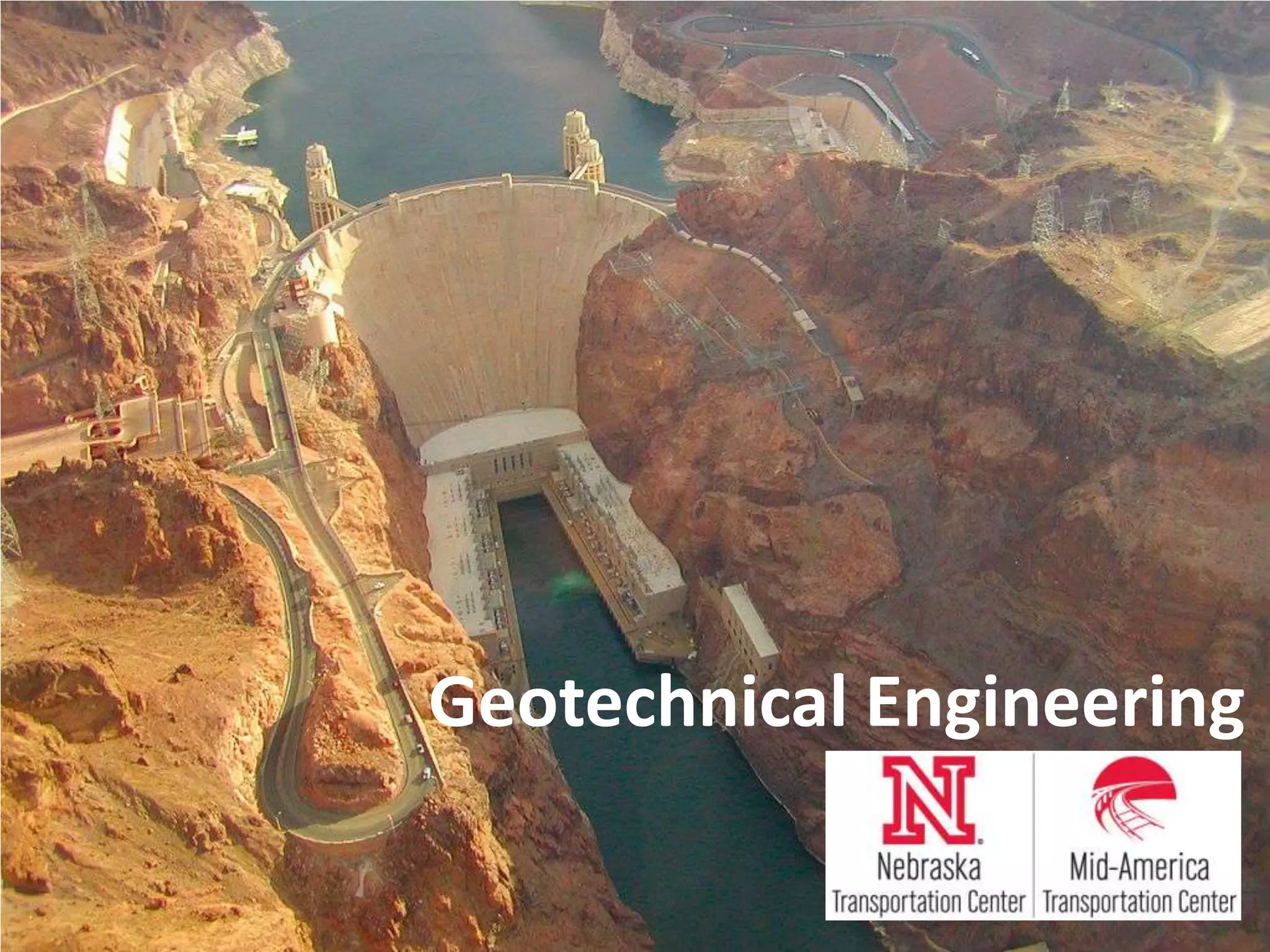
Overview of Geotechnical Engineering, its definition, and the role of geotechnical engineers.
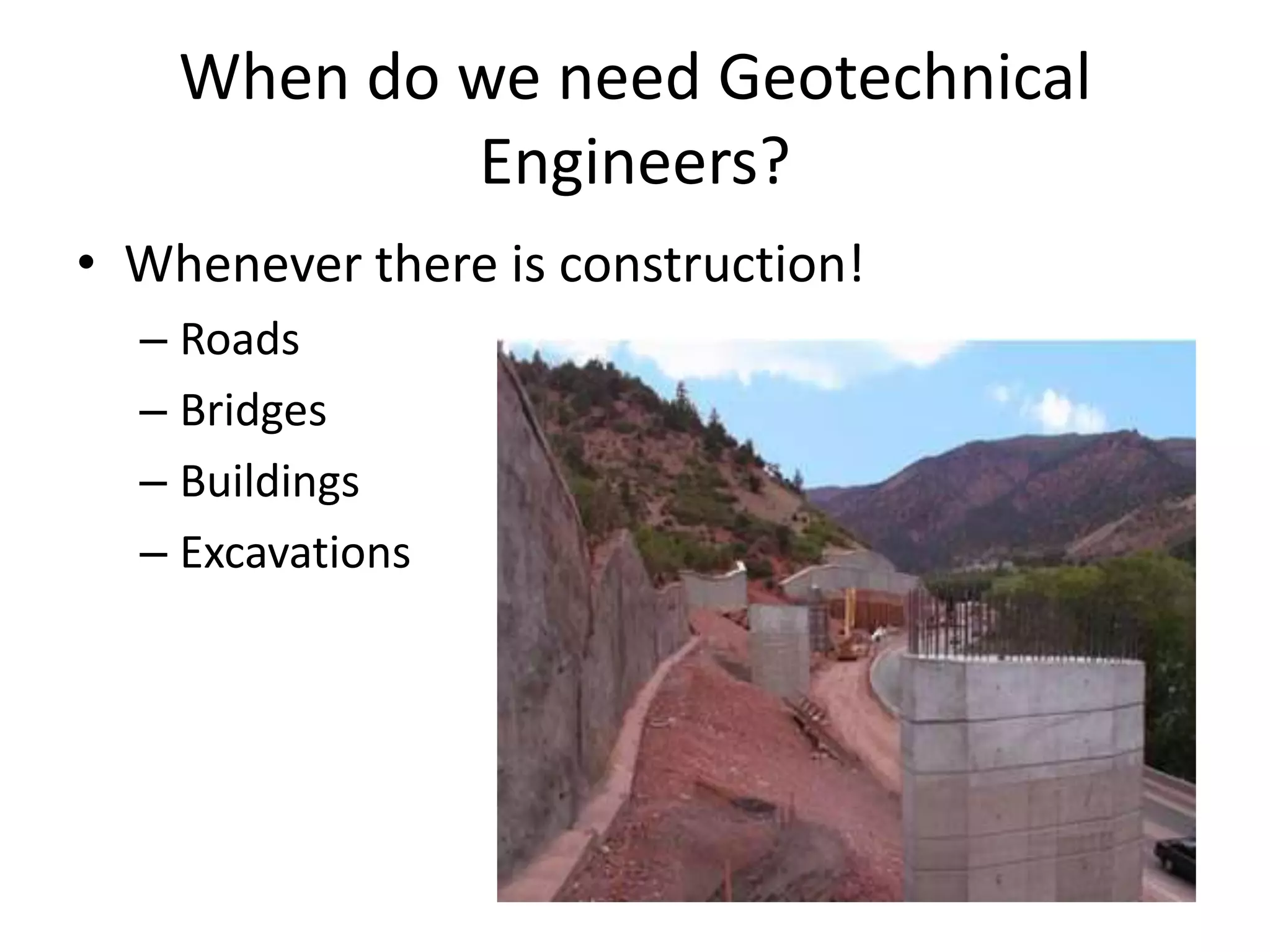
Key questions geotechnical engineers address and the importance of their work in various construction projects.
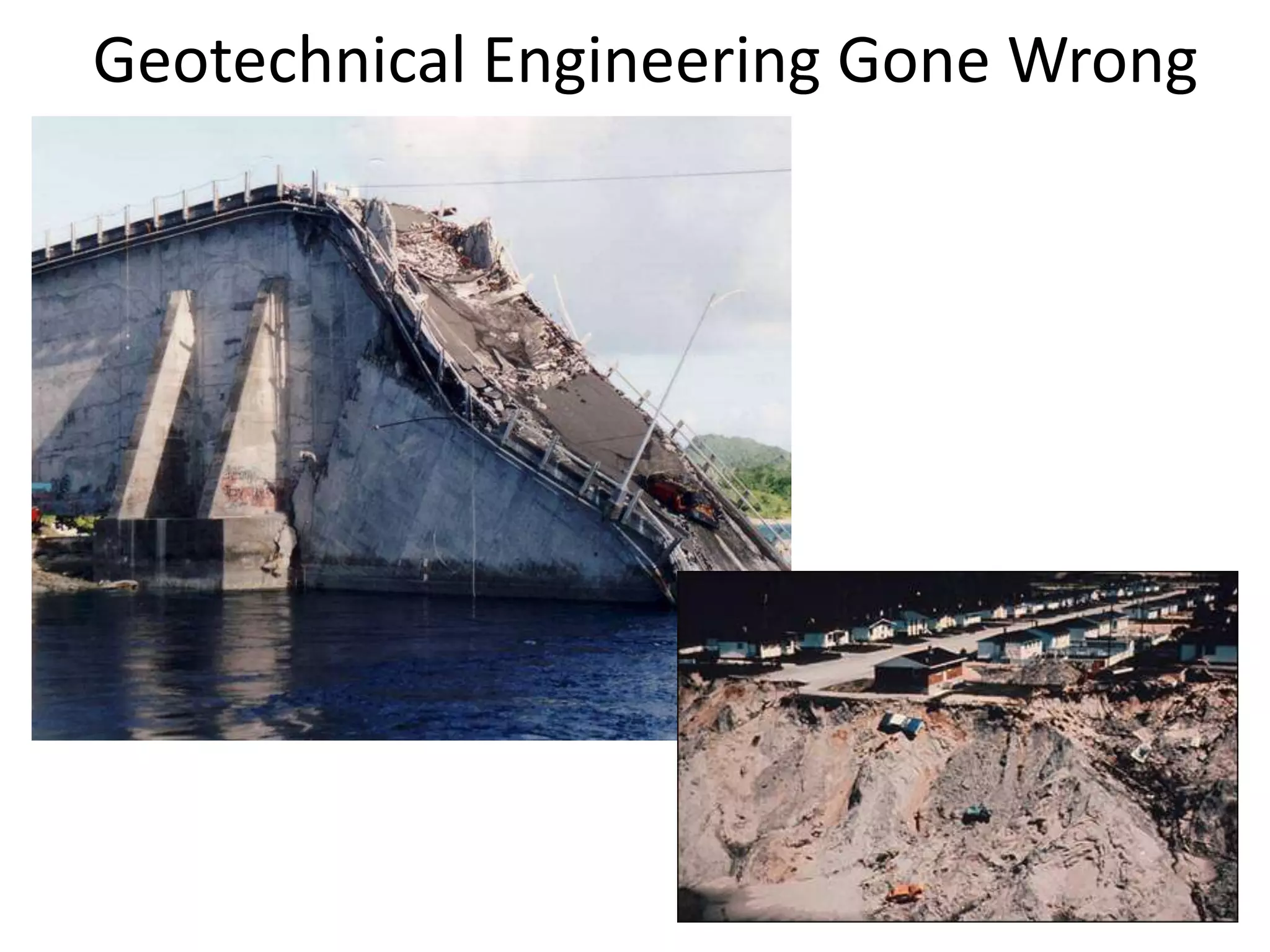
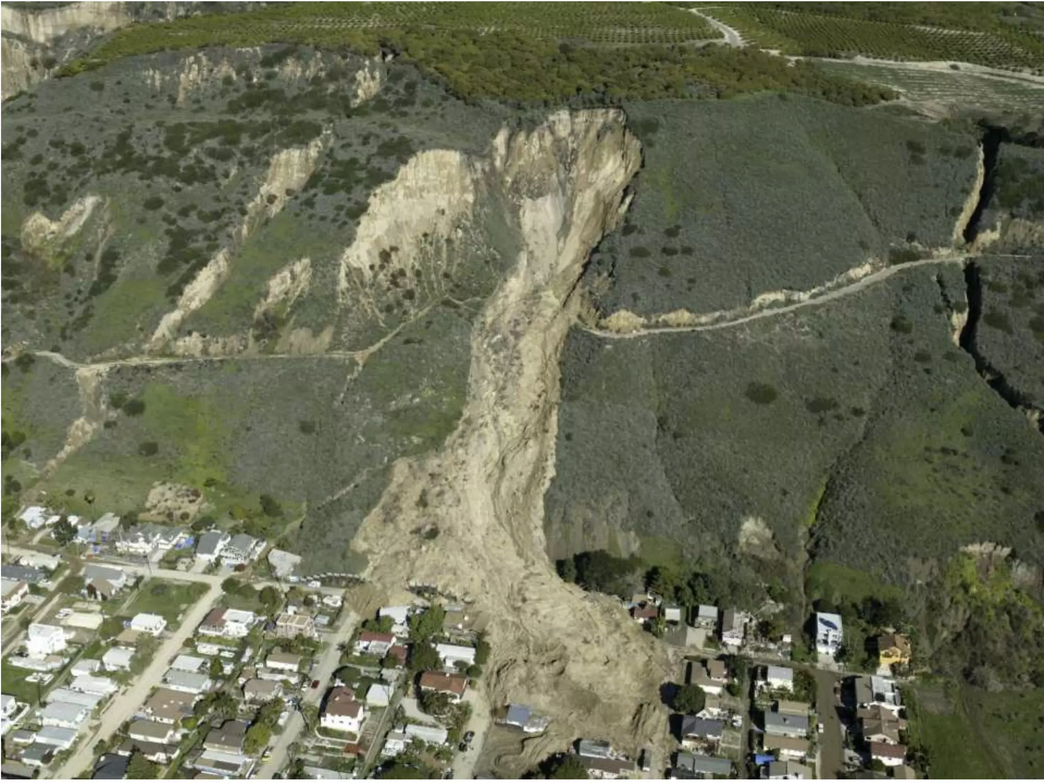
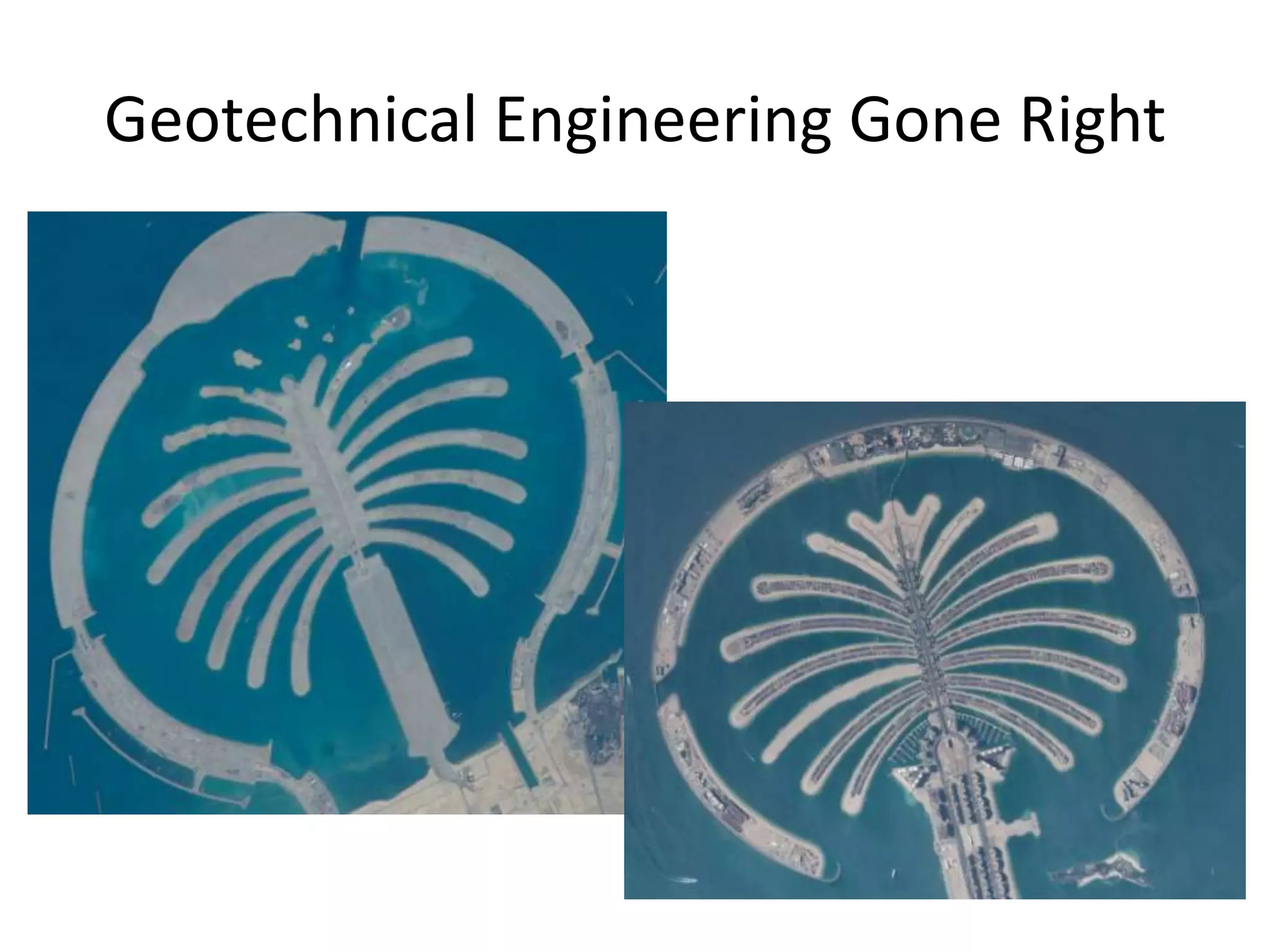
Examples of both failures and successes in geotechnical engineering that highlight the field's significance.
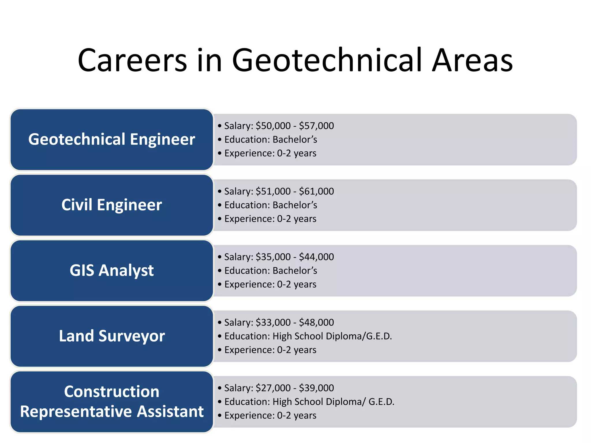
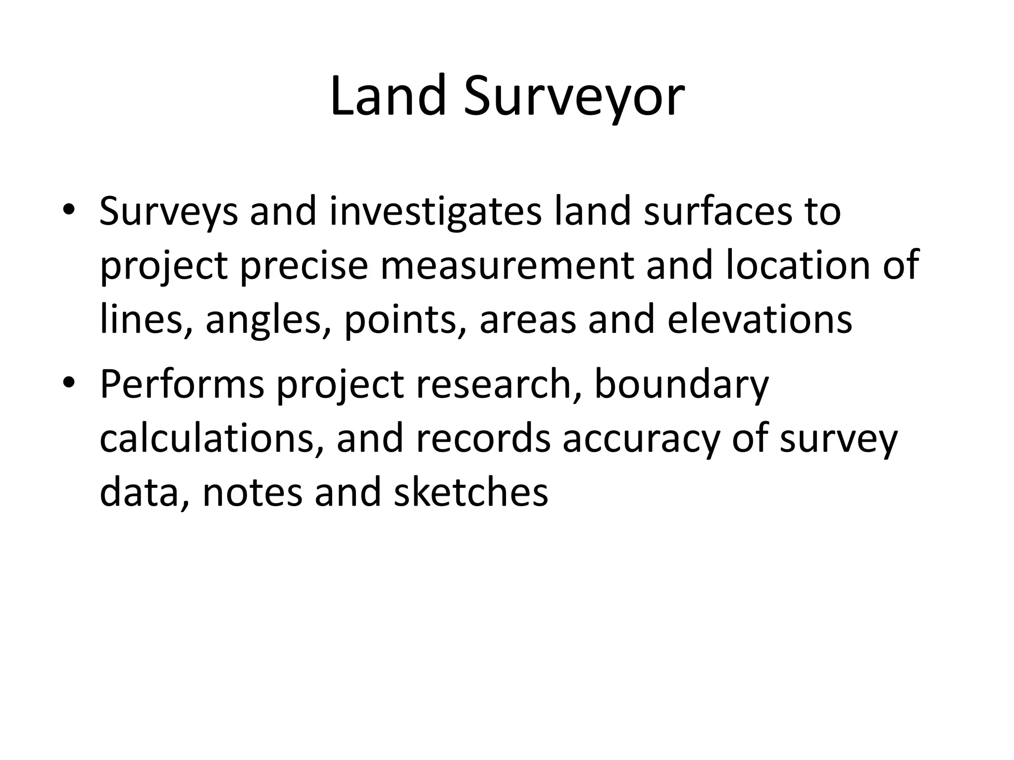
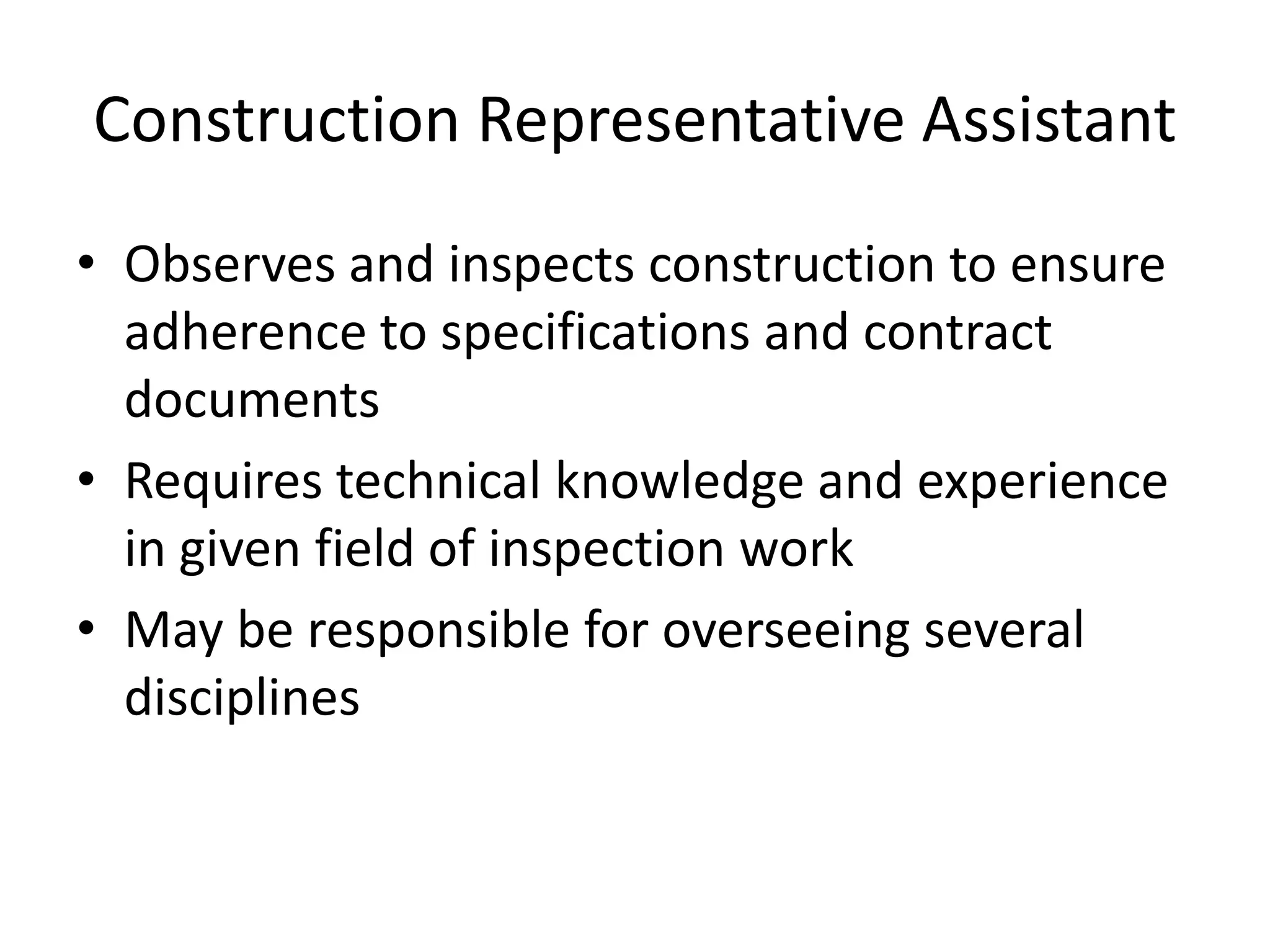
Details on careers in geotechnical fields, including roles, responsibilities, required education, and salary ranges.


![Geotechnical Engineering-I [Lec #27: Flow Nets]](https://cdn.slidesharecdn.com/ss_thumbnails/27-180924141458-thumbnail.jpg?width=640&height=640&fit=bounds)


![Geotechnical Engineering-II [Lec #19: General Bearing Capacity Equation]](https://cdn.slidesharecdn.com/ss_thumbnails/19-181123045917-thumbnail.jpg?width=640&height=640&fit=bounds)


