Download to read offline


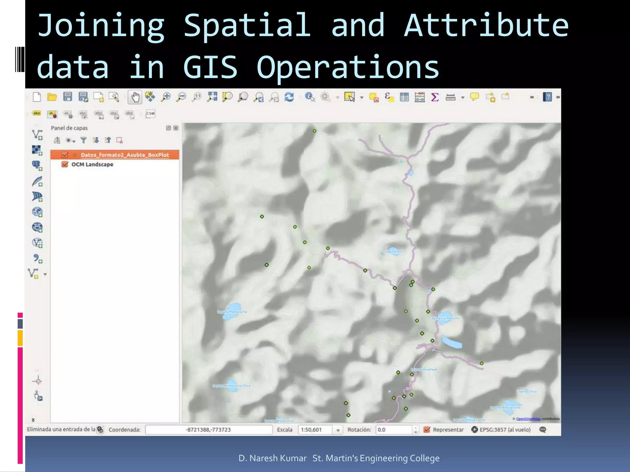


The document provides an overview of Geographic Information Systems (GIS), outlining its main components such as data input, storage, analysis, and output functionalities along with geospatial and attribute data types. It further discusses the methods of collecting spatial data through satellite imagery and aerial photography, emphasizing their importance in modeling and emergency response. Additionally, it details the structure of spatial data using formats like ESRI shapefiles for representing geographic features.