Download to read offline


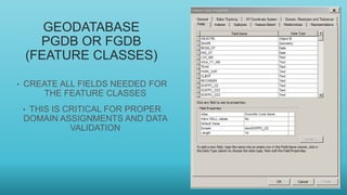

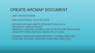
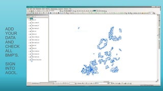


This document provides an outline for training on using mobile apps for ArcGIS for data preparation, processing, and field collection. It covers preparing and publishing data to ArcGIS Online, configuring projects in Collector and forms in Survey123, collecting and syncing data in the field apps, and exporting data. Specific topics include geodatabase and map document creation, publishing feature services, configuring apps in AGOL, using Collector and Survey123 for data collection on points, polygons and lines, and considerations for location services and GPS on mobile devices.


