Downloaded 33 times

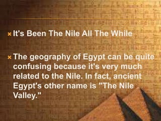
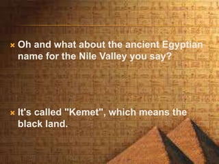
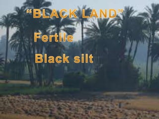
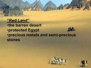
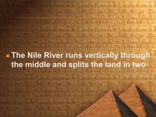

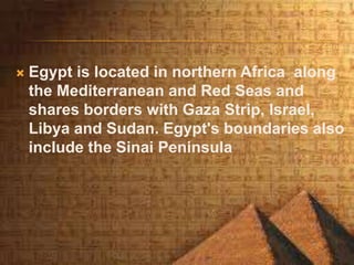
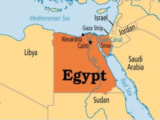
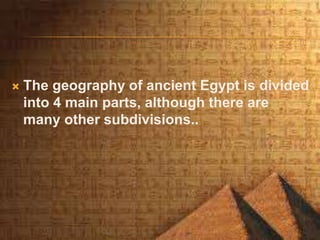
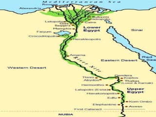

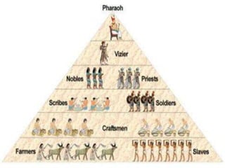
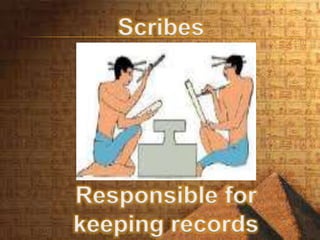
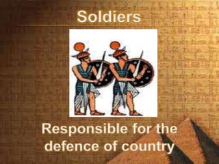
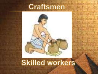
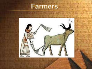
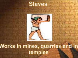

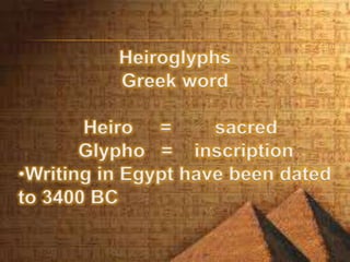
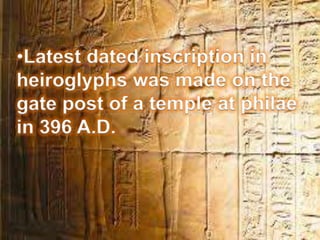
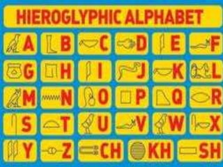
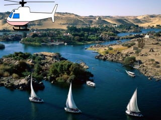


This document provides information about the geography, history, and economy of ancient Egypt. It focuses on how the Nile River was the defining geographic feature, dividing the land into fertile black soil along its banks and desert red soil beyond. It describes the four main divisions of ancient Egyptian geography: Lower Egypt and Upper Egypt, separated by the Nile's flow northward, and the east and west banks. Key topics covered include the Egyptian name for the Nile Valley ("Kemet"), the economy's reliance on agriculture, social classes, hieroglyphic writing, and structures like the pyramids and Sphinx at Giza.


![Ancient Egypt [PDF]](https://cdn.slidesharecdn.com/ss_thumbnails/ancientegyptpowerpointfull-150914165252-lva1-app6891-thumbnail.jpg?width=640&height=640&fit=bounds)


