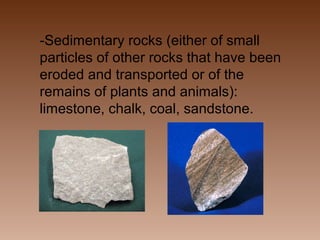
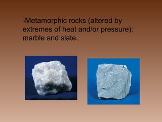
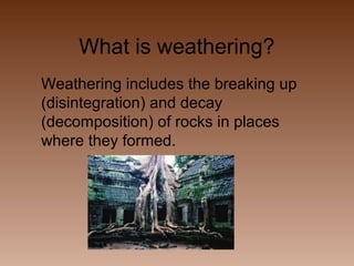
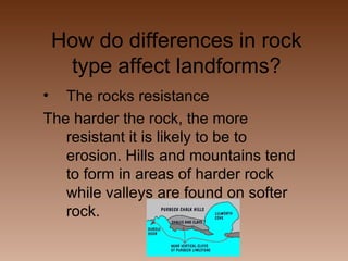
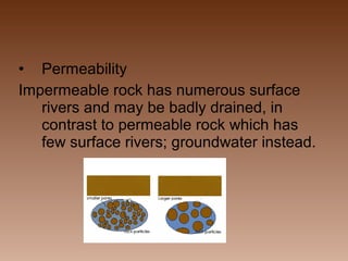
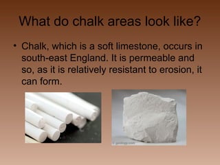
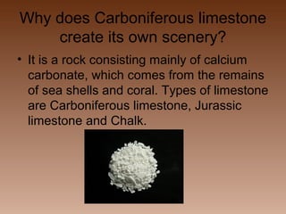
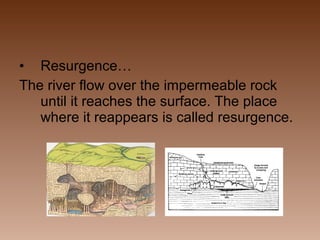
Download to read offline
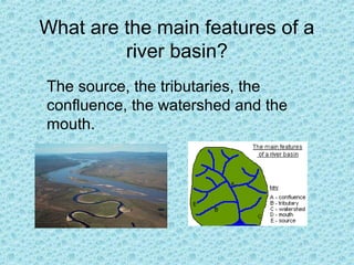
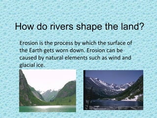


This document provides summaries of key concepts related to physical geography. It discusses the main features of rivers including the source, tributaries, confluence, watershed and mouth. It explains how rivers shape the land through erosion and how meanders and lakes are formed. It also summarizes coastal landforms including how waves erode and deposit material, and causes of cliff erosion. Additional topics covered include glaciation, rocks and weathering, plate tectonics, British weather/climate, and the world's main climates.


