Downloaded 141 times


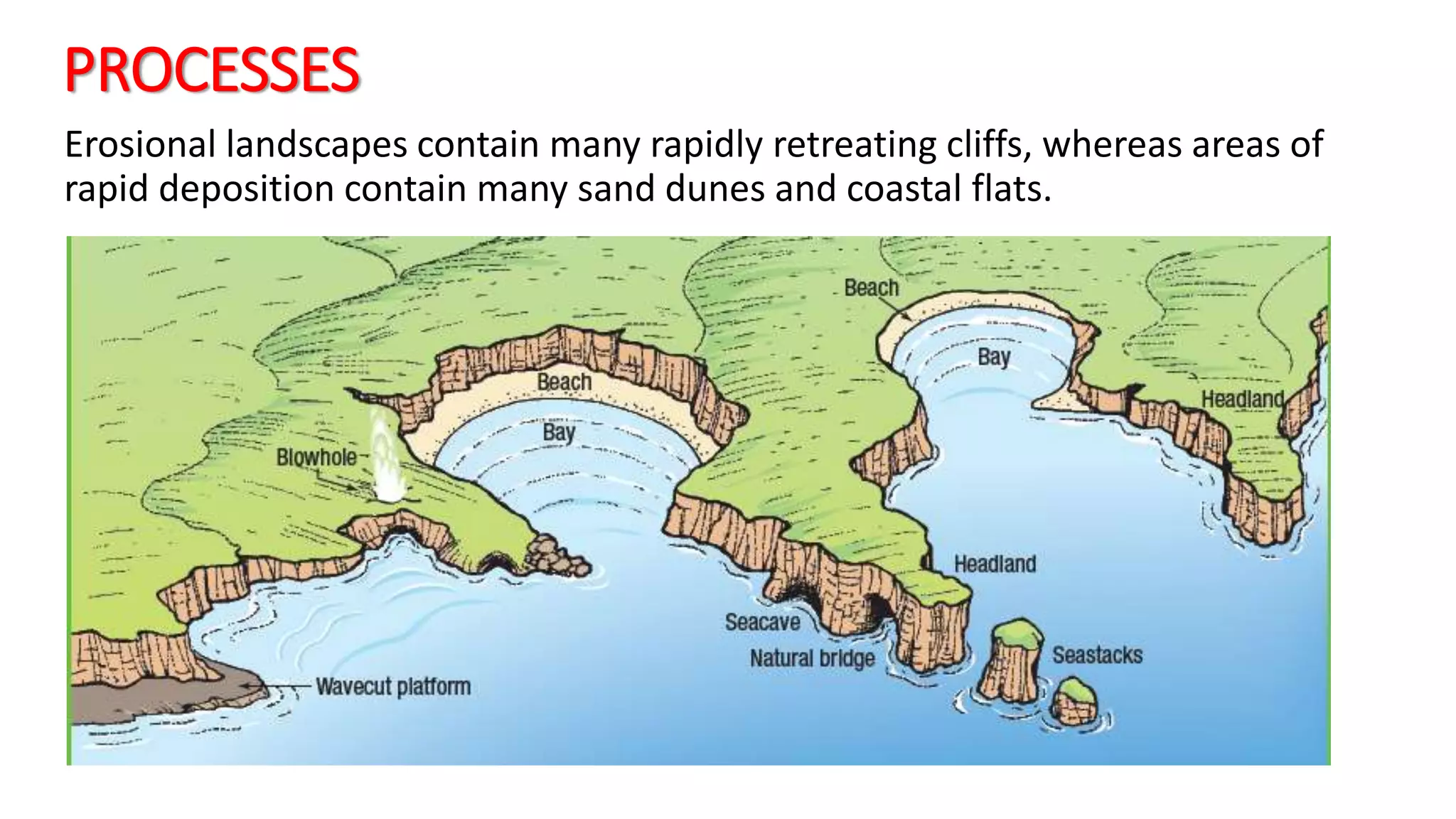

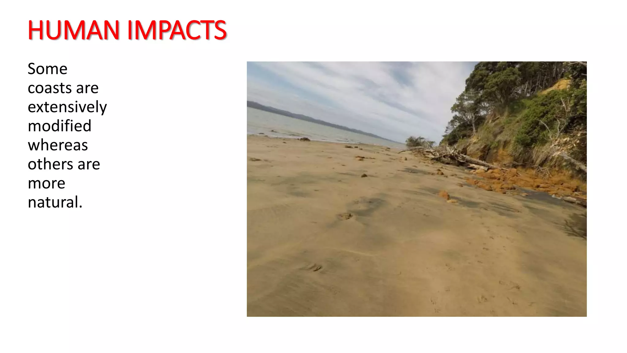
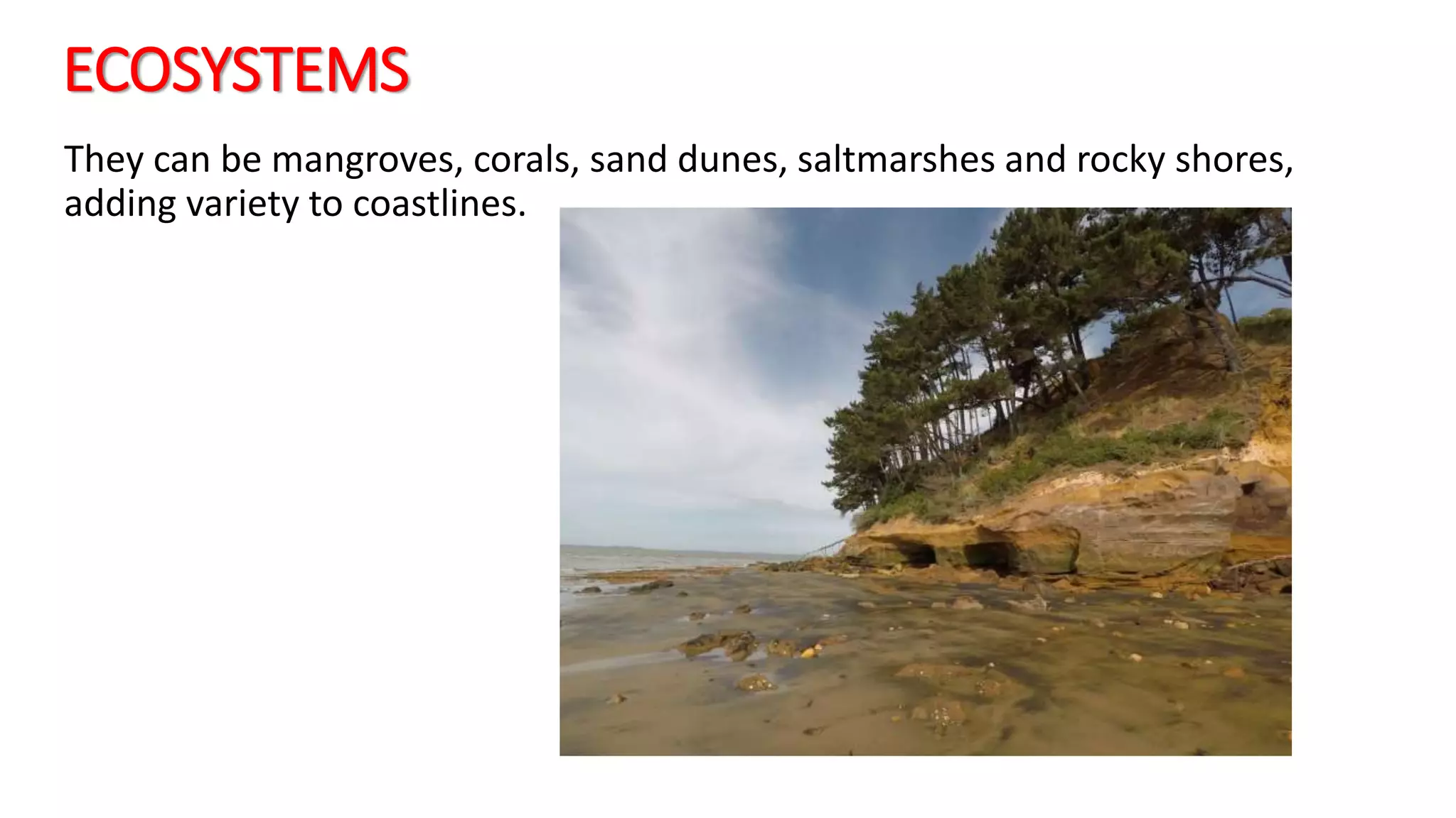


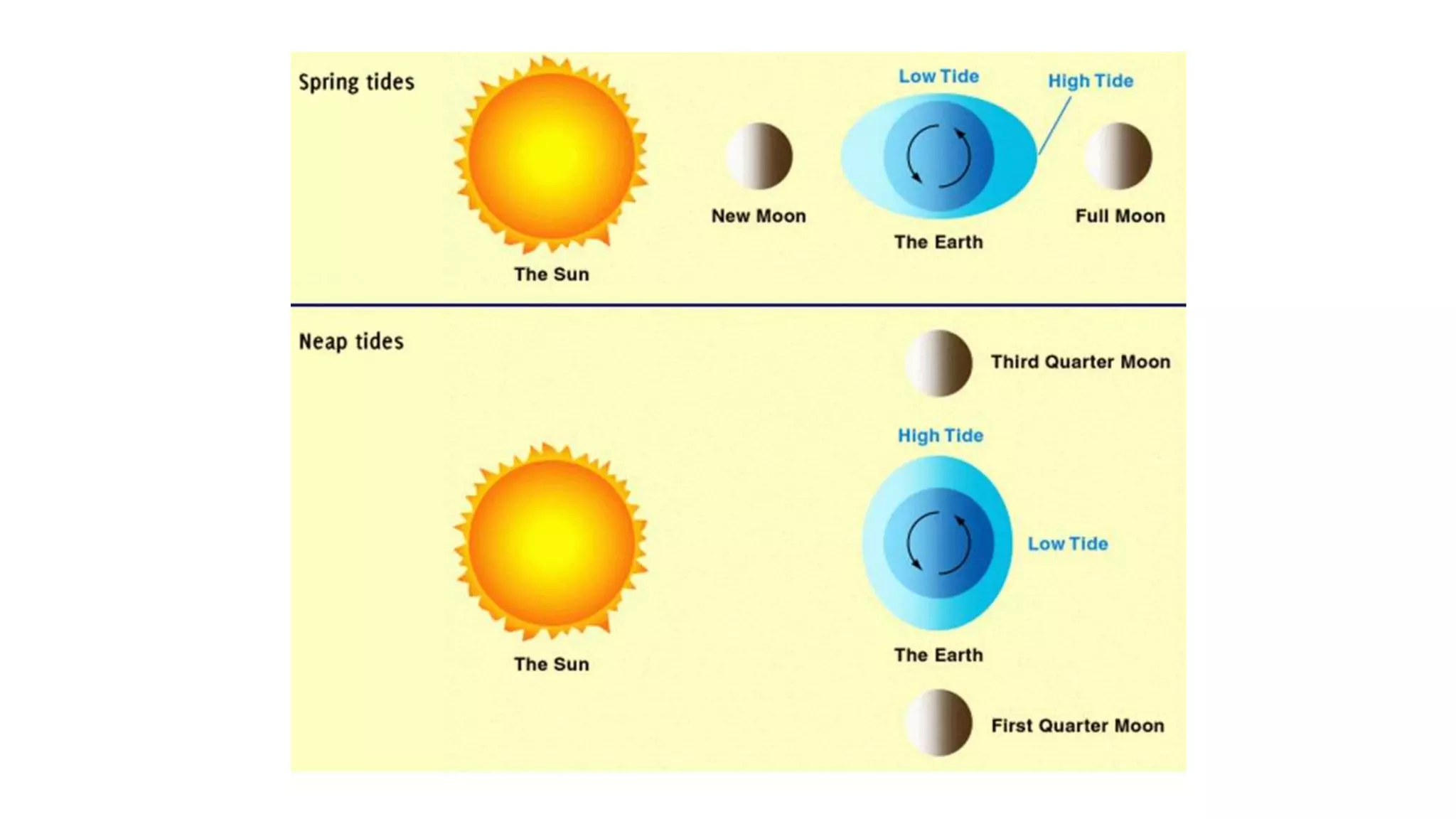
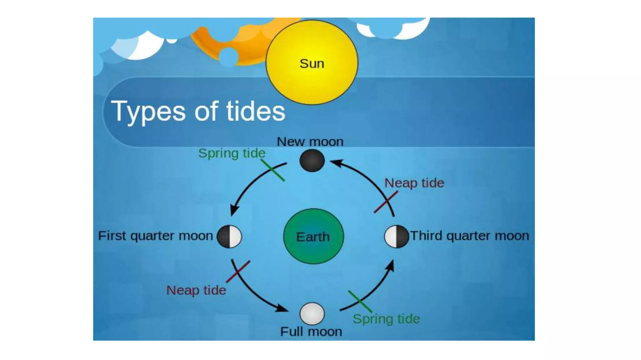


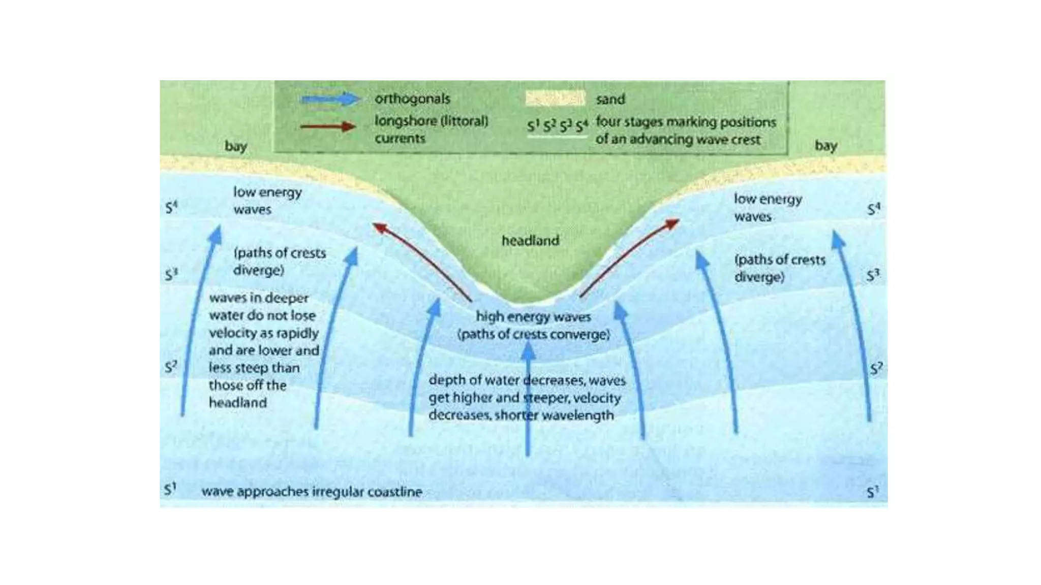


Coastal environments are shaped by various physical and human processes, including lithology, geological structures, sea-level changes, and ecosystem types. Key coastal processes include wave action, erosion, sediment transport, and the formation of features like cliffs, beaches, and tides, influenced by gravitational forces from the moon and sun. Human activities have significantly impacted these natural features, altering sediment supply and coastal stability.


