Downloaded 666 times
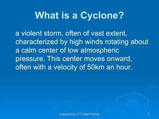

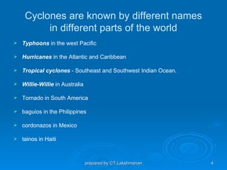
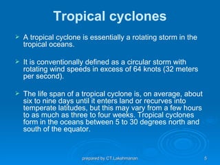


Cyclones are rotating storms that form over warm tropical oceans and are characterized by high winds swirling about a central area of low pressure. They are known by different names in different regions. A tropical cyclone is defined as a circular storm with winds exceeding 64 knots. Cyclones can be predicted days in advance using meteorological records, and hazard maps can illustrate vulnerable areas. Risk reduction measures for cyclones include coastal belt plantation, land use control, engineered structures, flood management, and improving vegetation cover.


