Download to read offline

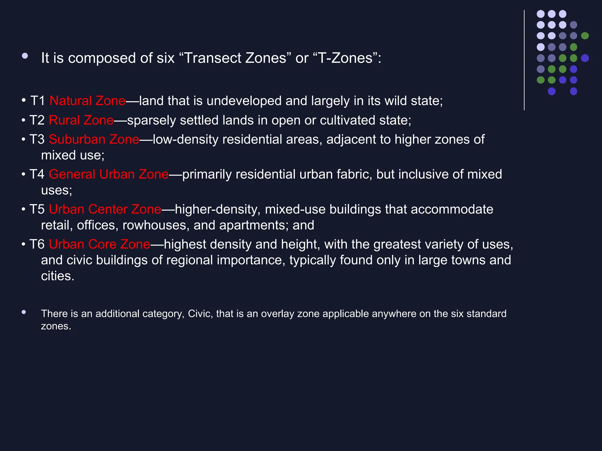


This document details the Transect Zoning Model - a planning tool organizing settlements from natural areas (T1) to urban cores (T6). It defines the Pedestrian Shed as a quarter-mile radius (1,320 feet) representing a comfortable 5-minute walk. Neighborhood Density varies by location while maintaining 120-160 acre areas. The document explains Hybrid Development types that blend New Urbanism with conventional suburban elements, including problematic "snout houses" with protruding garages. This systematic approach helps planners create authentic, walkable communities with appropriate density transitions.


