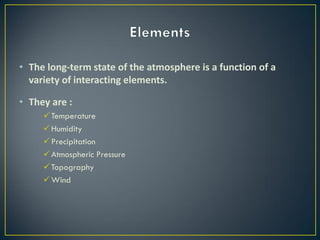
The document discusses various elements and factors that affect climate:
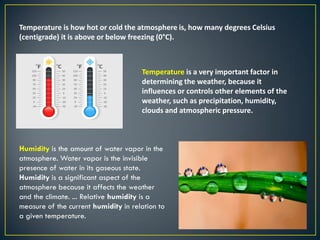
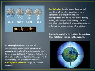
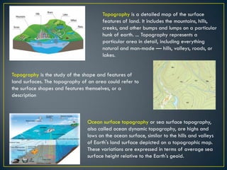
- The main climate elements discussed are temperature, humidity, precipitation, atmospheric pressure, topography, and wind.
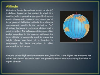
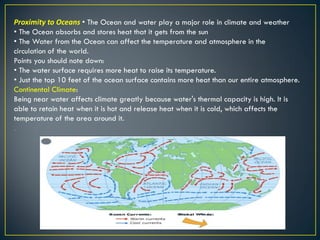
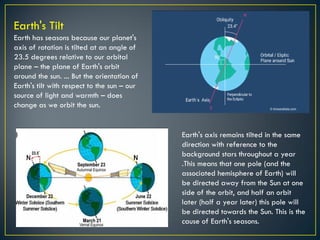
- Key climate factors include latitude, altitude, proximity to oceans, and Earth's axial tilt. Latitude affects temperature, with warmer climates near the equator. Altitude influences temperature, with colder conditions at higher elevations. Being near large bodies of water moderates temperatures. Earth's tilted axis causes seasons as the hemispheres rotate toward and away from the Sun.