Download to read offline


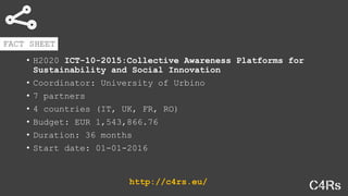

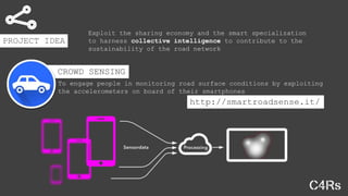
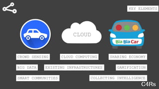
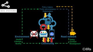


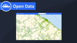


The document outlines the 'SmartRoadSense' project, initiated under the H2020 ICT-10-2015 initiative, aimed at enhancing road maintenance through crowd-sourced monitoring using smartphone accelerometers. Coordinated by the University of Urbino, it involves seven partners across four countries with a budget of over 1.5 million euros and a duration of 36 months starting January 1, 2016. The project seeks to improve road sustainability and reduce CO2 emissions by engaging the community and leveraging technologies like cloud computing and big data.


