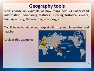
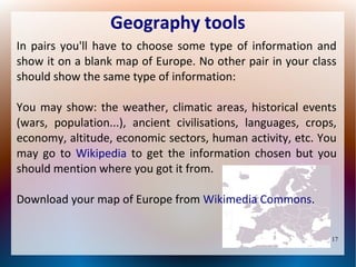
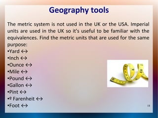
Download as PDF, PPTX
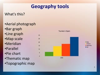
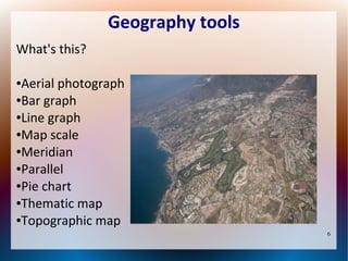
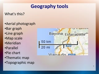
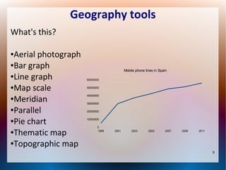
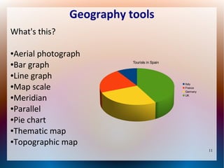
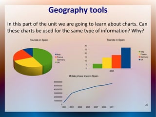
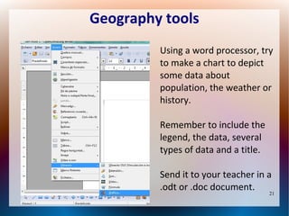

This document introduces geography tools and their uses. It contains 24 pages that describe different types of maps, charts, and diagrams such as bar graphs, pie charts, and thematic maps. It explains how to interpret these tools and provides examples of tourism data, phone usage over time, and weather maps. Students are asked to complete activities like labeling maps, converting units, and discussing metric systems. The goal is to help students learn how to understand and create various geography tools to display information.


