Download to read offline


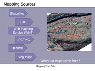
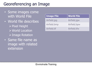
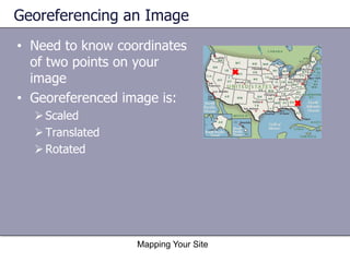
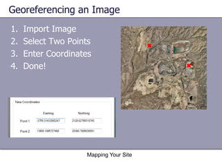
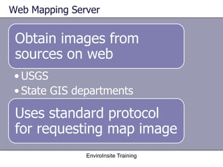
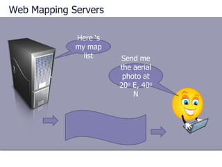
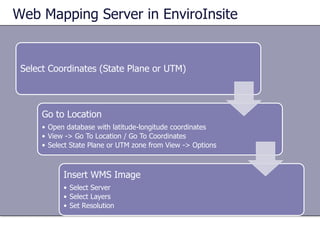
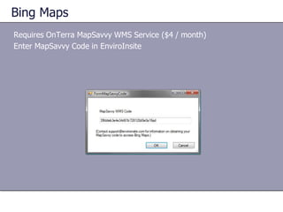
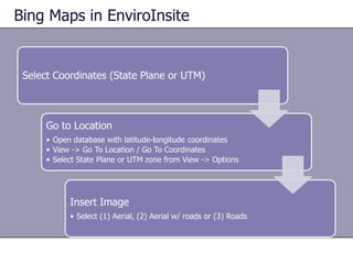


The document outlines a training workshop on using Enviroinsite for georeferencing images and obtaining map data from various sources, including web mapping services. It details the process of mapping a site by importing images, selecting reference points, and entering coordinates to create a georeferenced image. Additionally, it explains how to access and insert web map images from servers like USGS and Bing Maps along with required protocols and options.


