Download to read offline


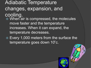
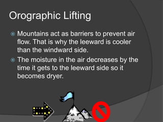
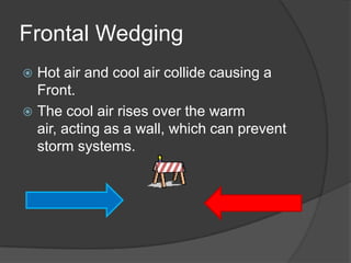


1. When air is compressed, its temperature increases due to the faster movement of molecules. When it expands, the temperature decreases. Temperature also decreases with increasing altitude, dropping 10 degrees Celsius every 1,000 meters. 2. Mountains prevent air flow and cause the air on the leeward side to be cooler and drier than the windward side. 3. When warm air and cool air collide at a front, the cool air rises over the warm air, acting as a barrier that can prevent storm systems.


