Download to read offline


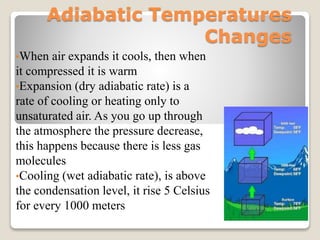
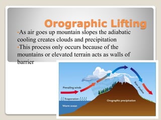
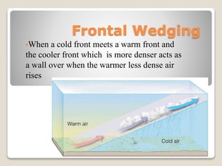
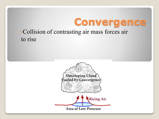
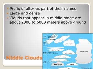
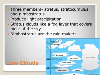
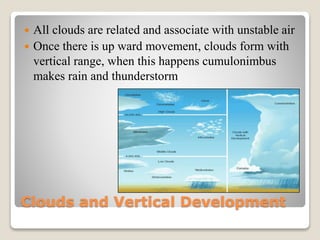
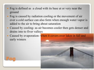


This document discusses various cloud formation processes and types of precipitation. It explains that air cools as it rises and warms as it compresses. Clouds form through orographic lifting as air rises over mountains, and through frontal wedging when a cold front meets a warm front. Convergence of air masses also forces air to rise and form clouds. The stability of the atmosphere influences whether clouds produce thunderstorms. Various cloud types are classified by height as high, middle, or low clouds. The processes of collision-coalescence and Bergeron processes produce precipitation from warm and cold clouds respectively. Rain, snow, sleet, glaze and hail are different types of precipitation that form under varying temperature conditions.


