Downloaded 1,048 times
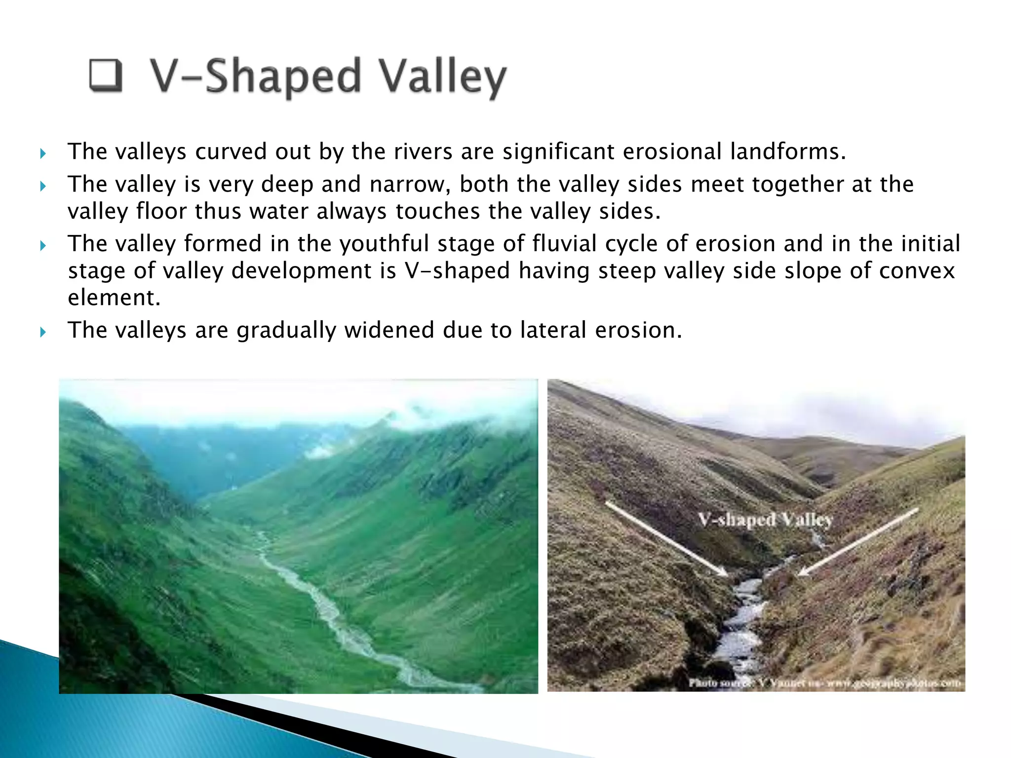
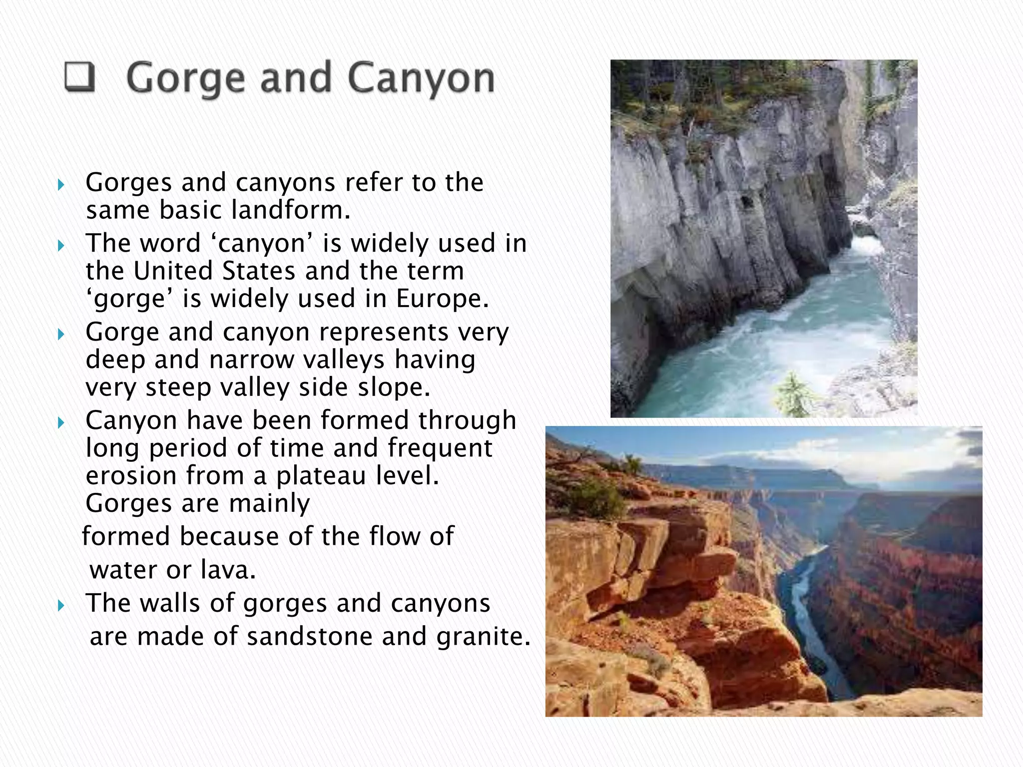


The document details various types and characteristics of erosional and depositional landforms, including v-shaped valleys, gorges, waterfalls, pot holes, river terraces, and meanders. It describes how these landforms are formed through processes like erosion, sediment deposition, and the interaction of water with geological features. Additionally, it categorizes depositional landforms such as alluvial fans, natural levees, flood plains, and deltas, highlighting their formation conditions and distinct types.
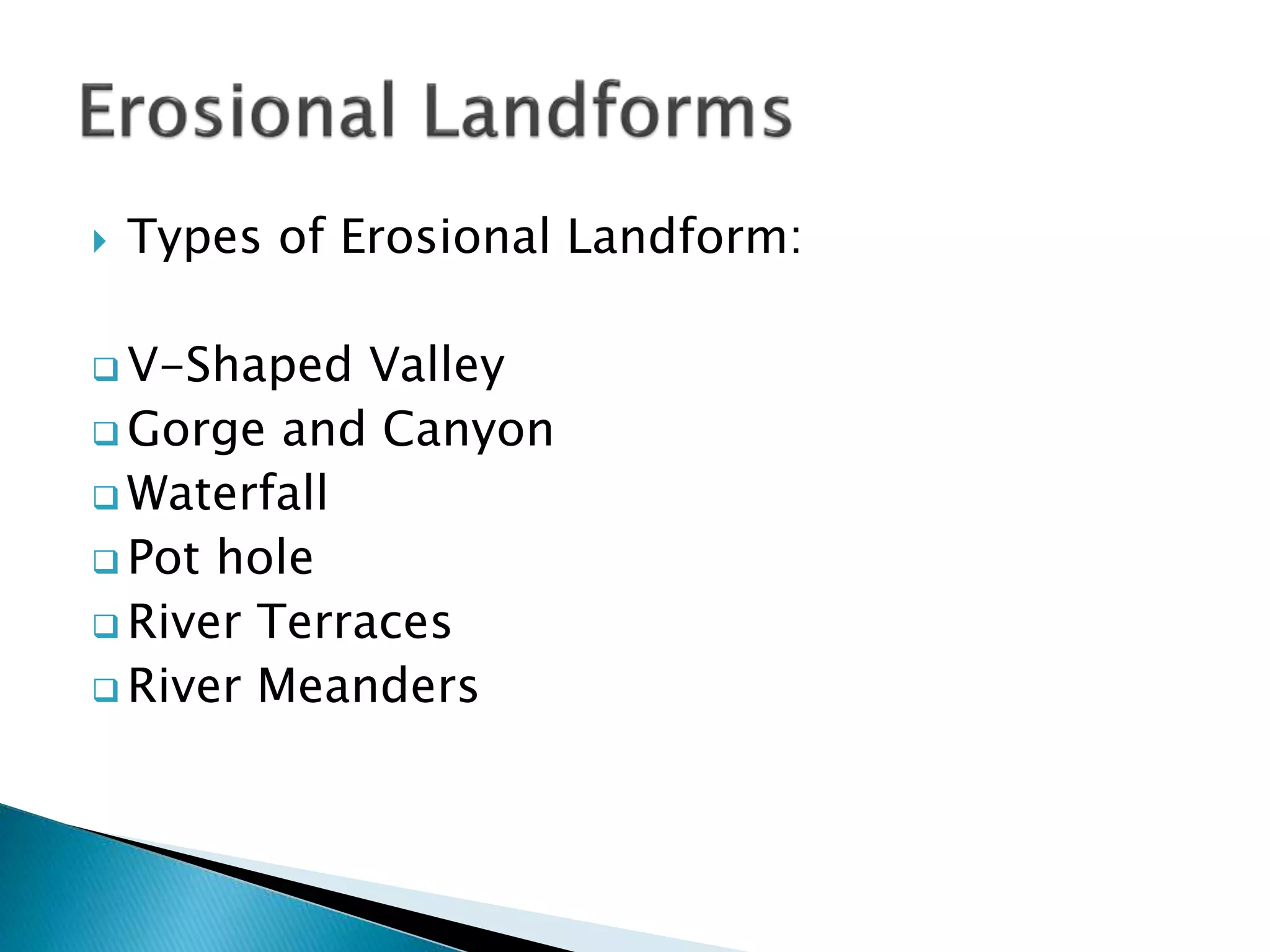
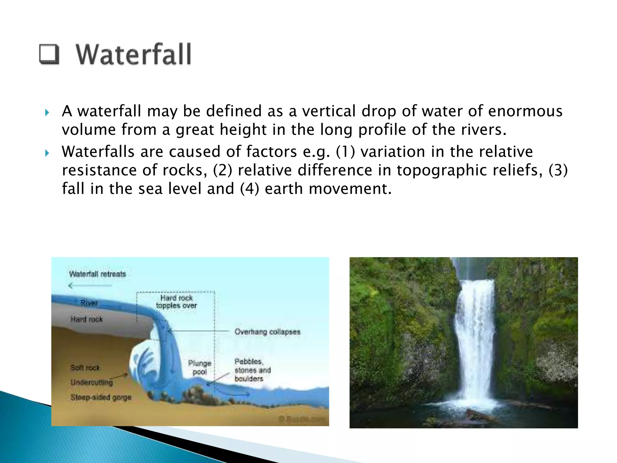
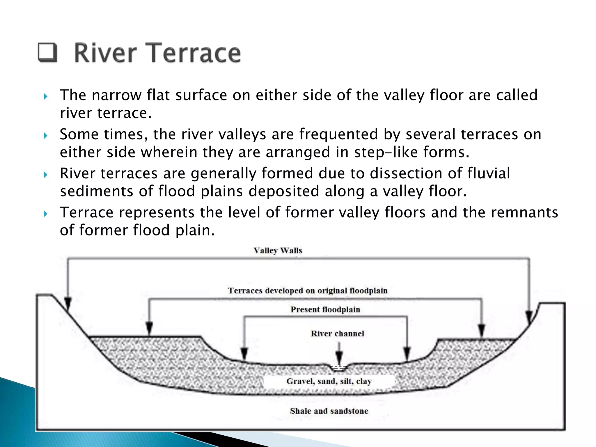
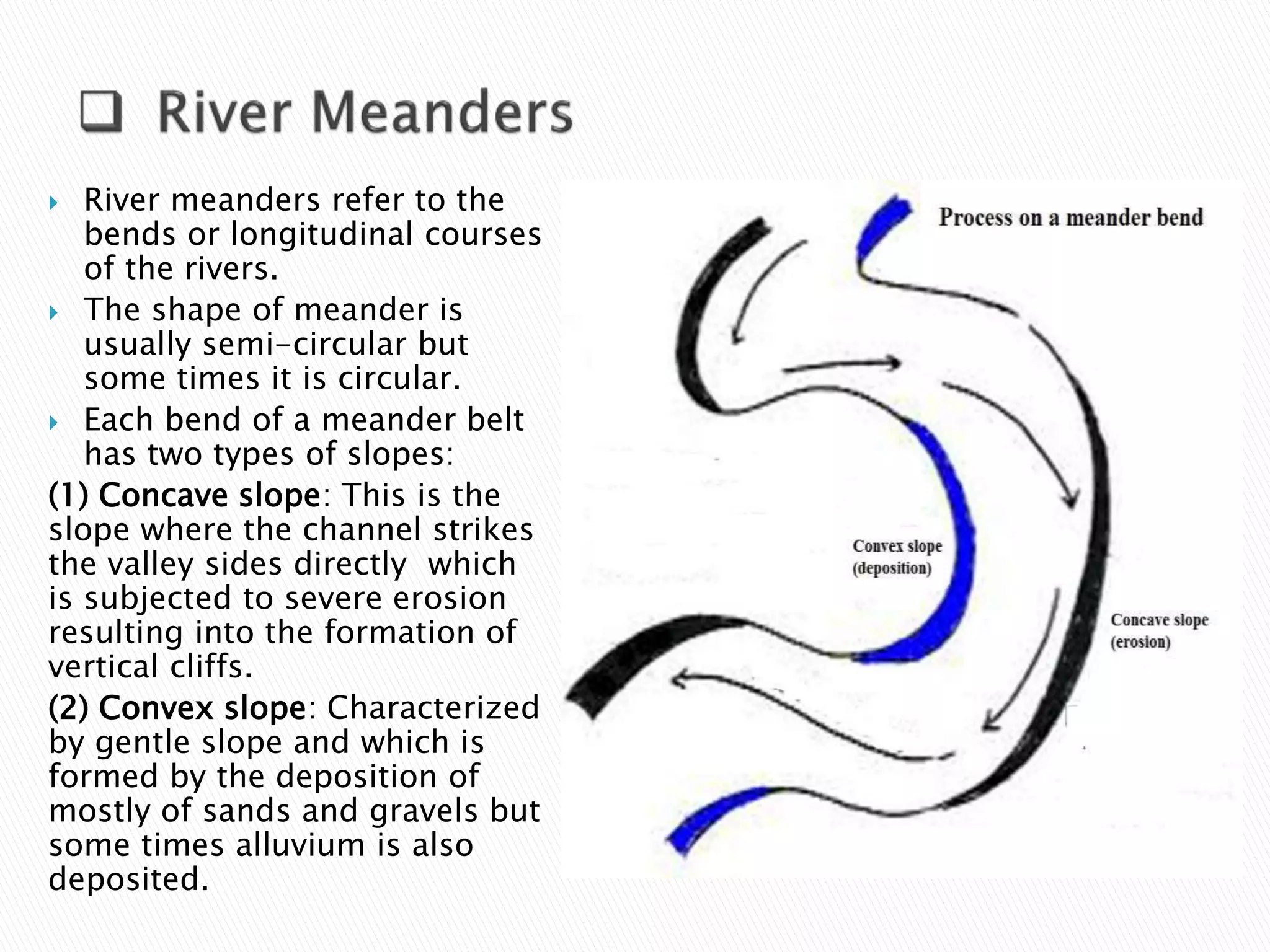
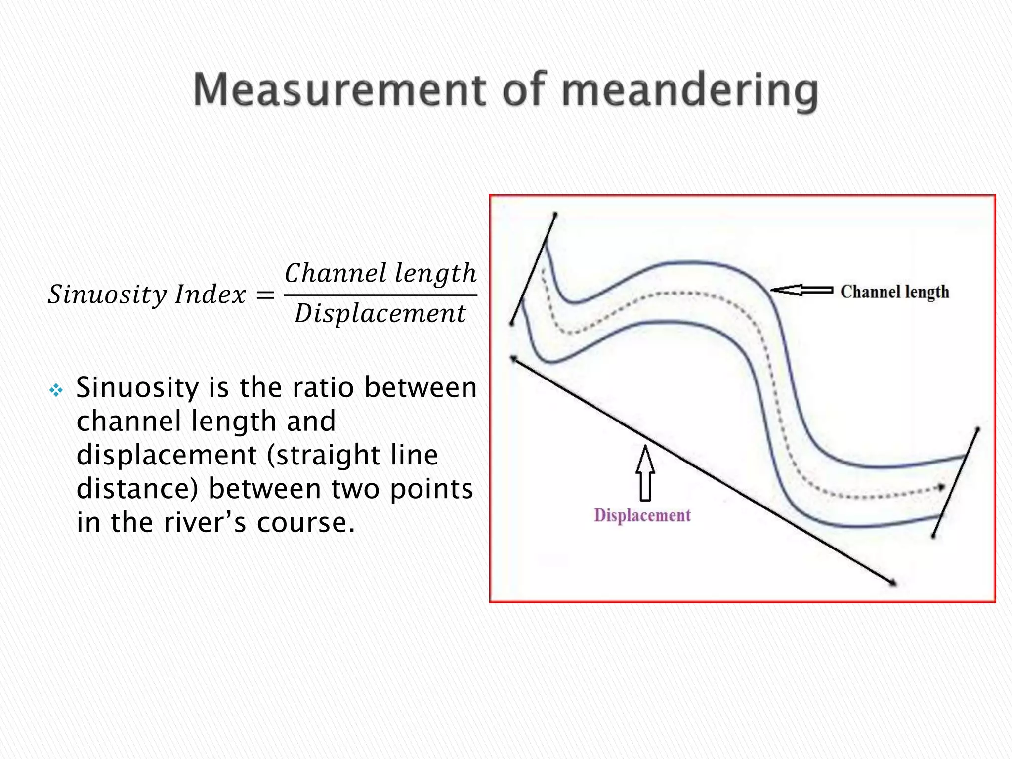
Introduction to various erosional landforms including V-Shaped Valleys, Gorges, Waterfalls, Pot Holes, River Terraces, and Meanders.
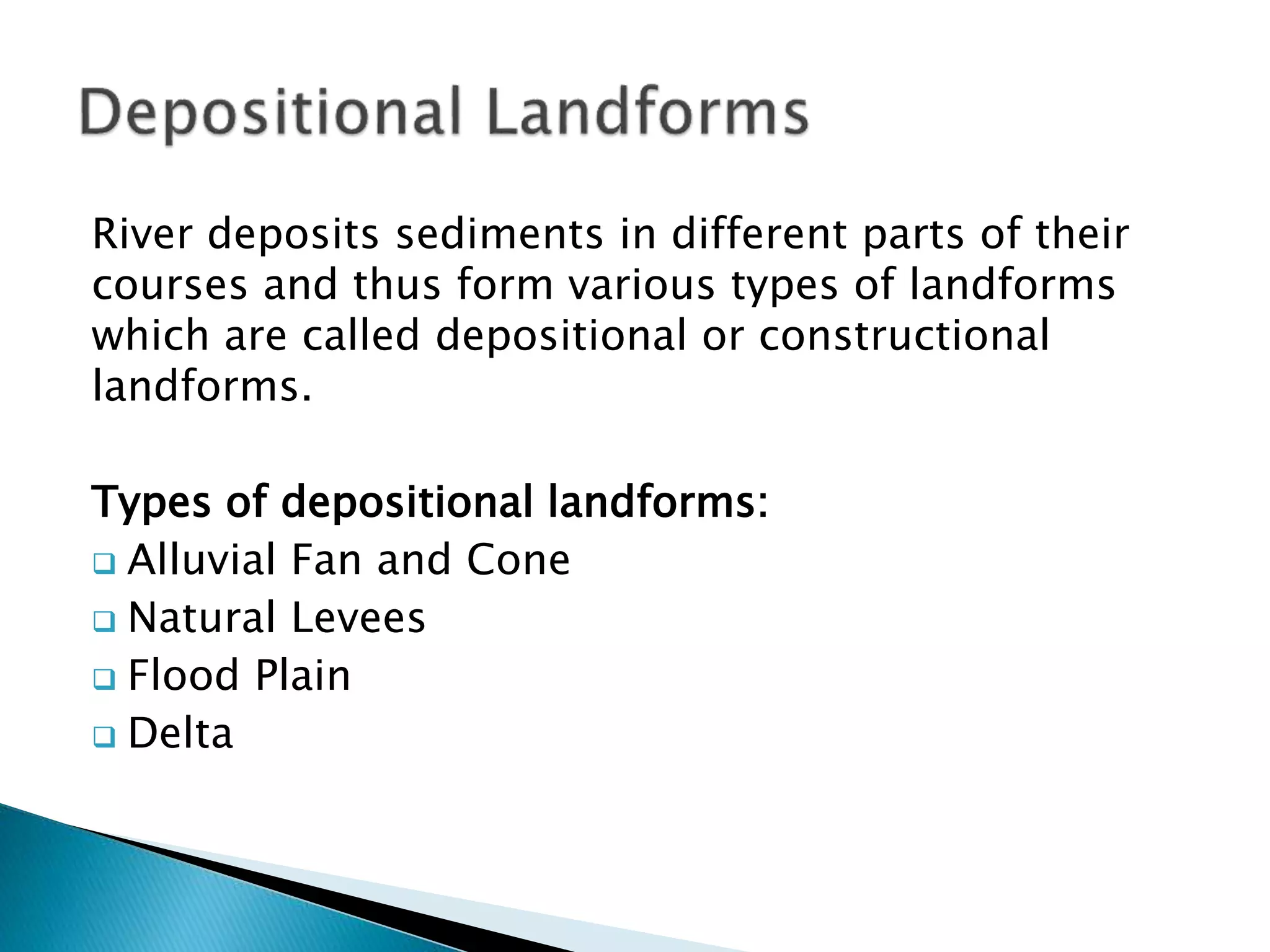
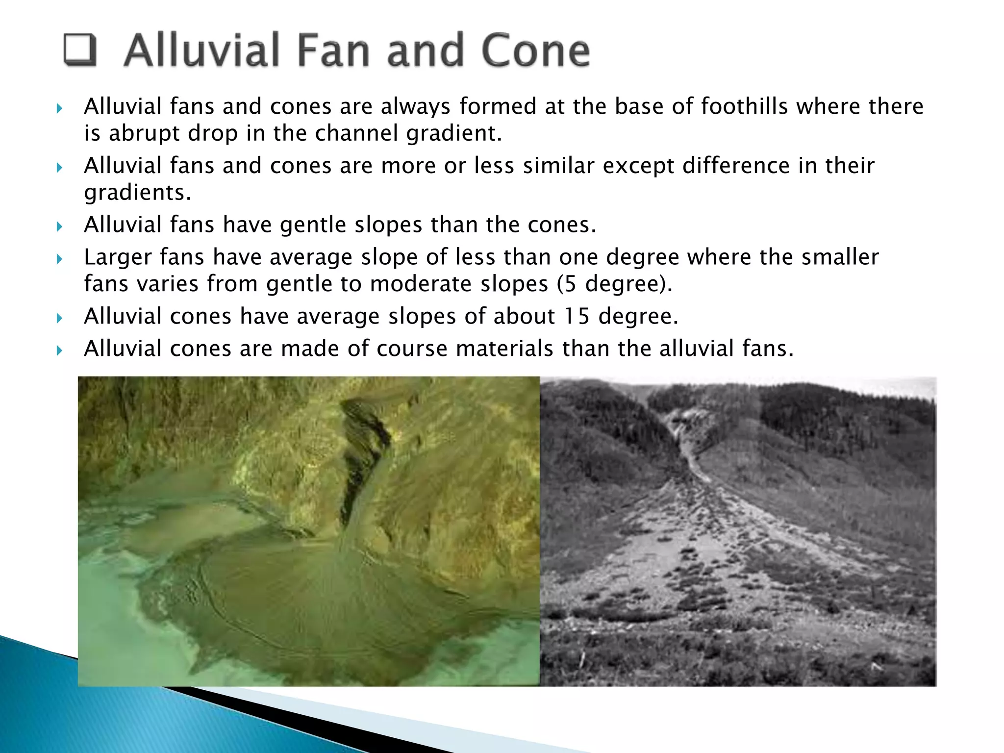
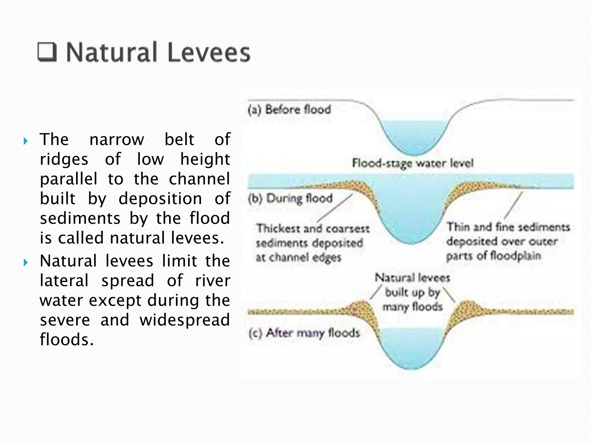
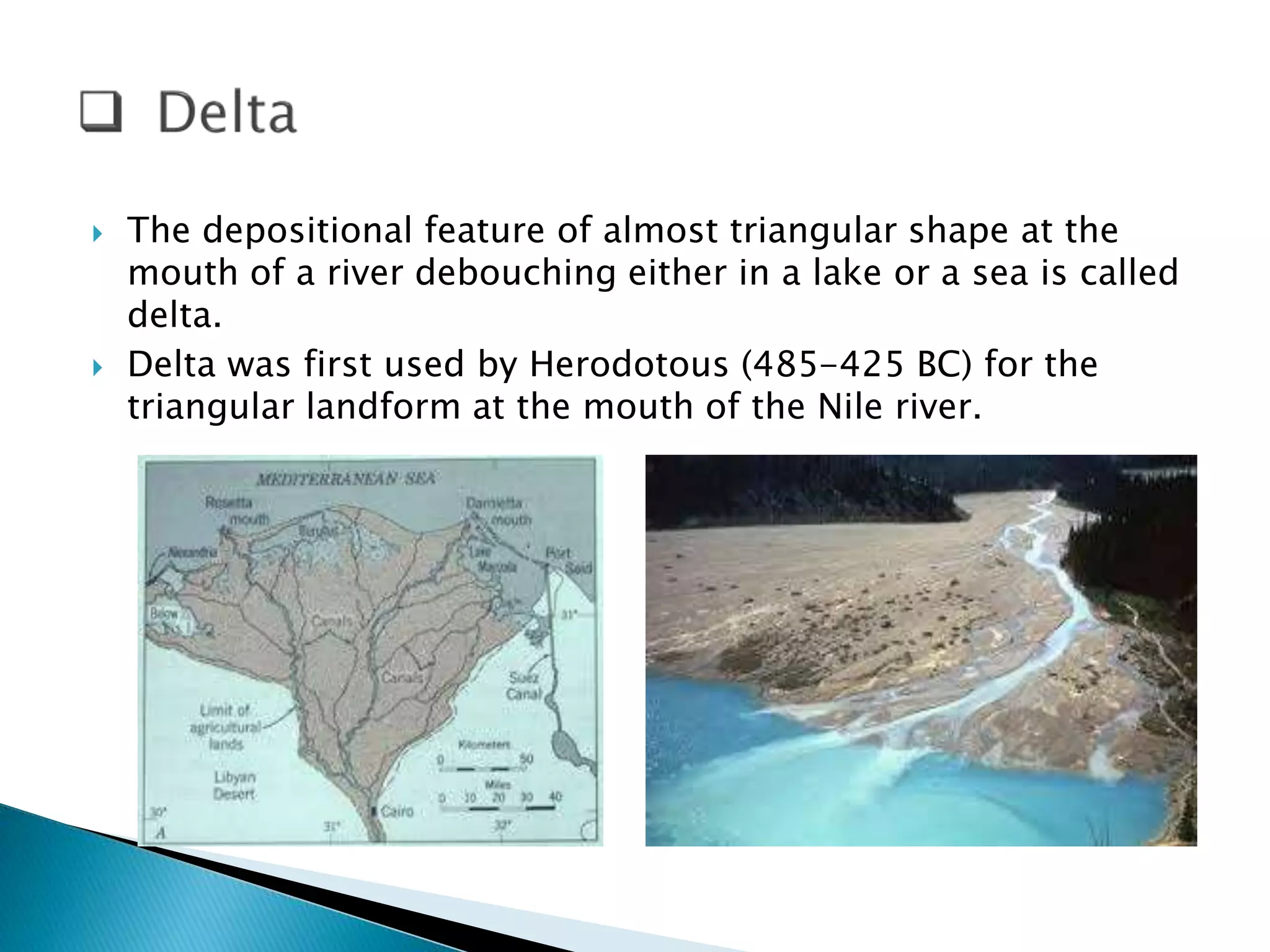
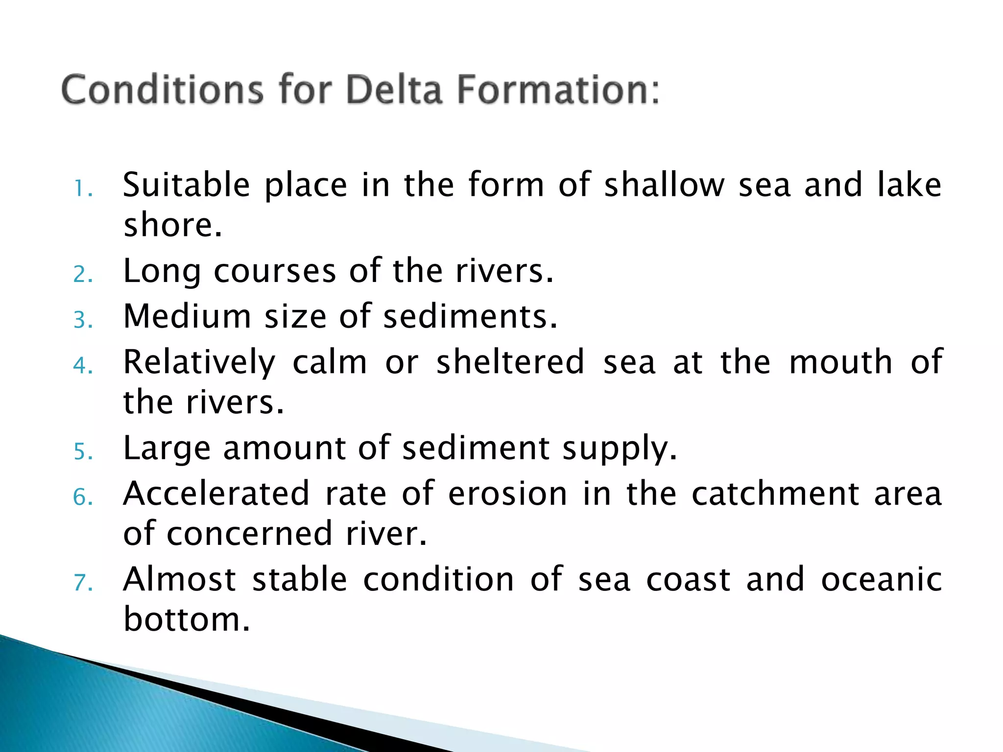
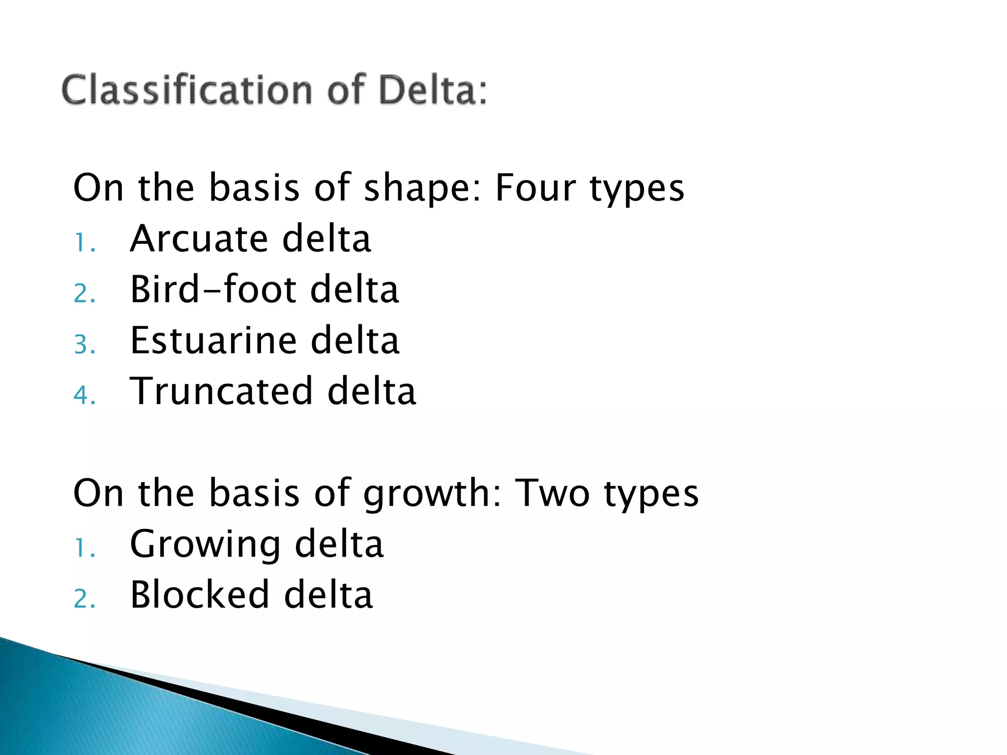
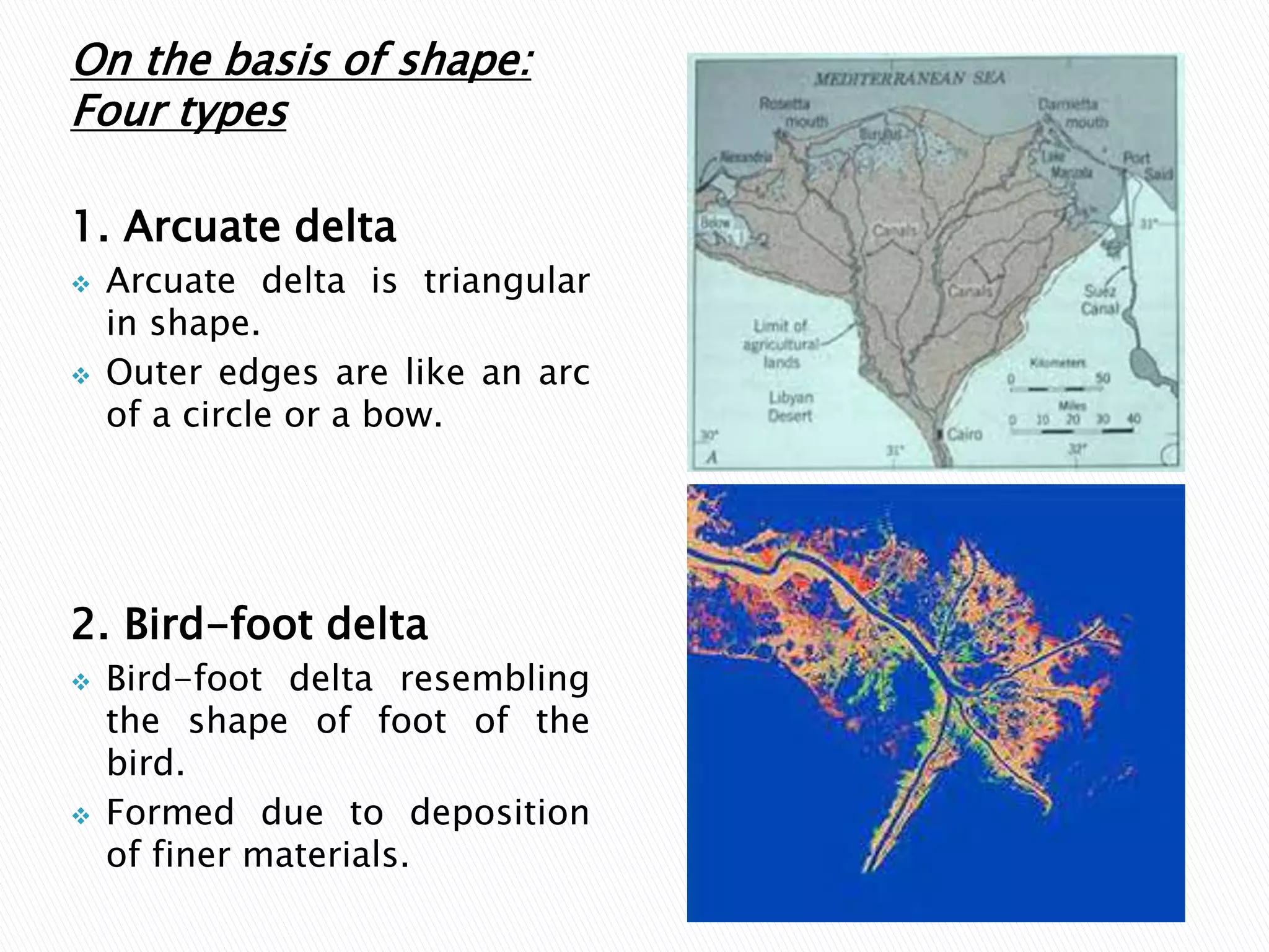
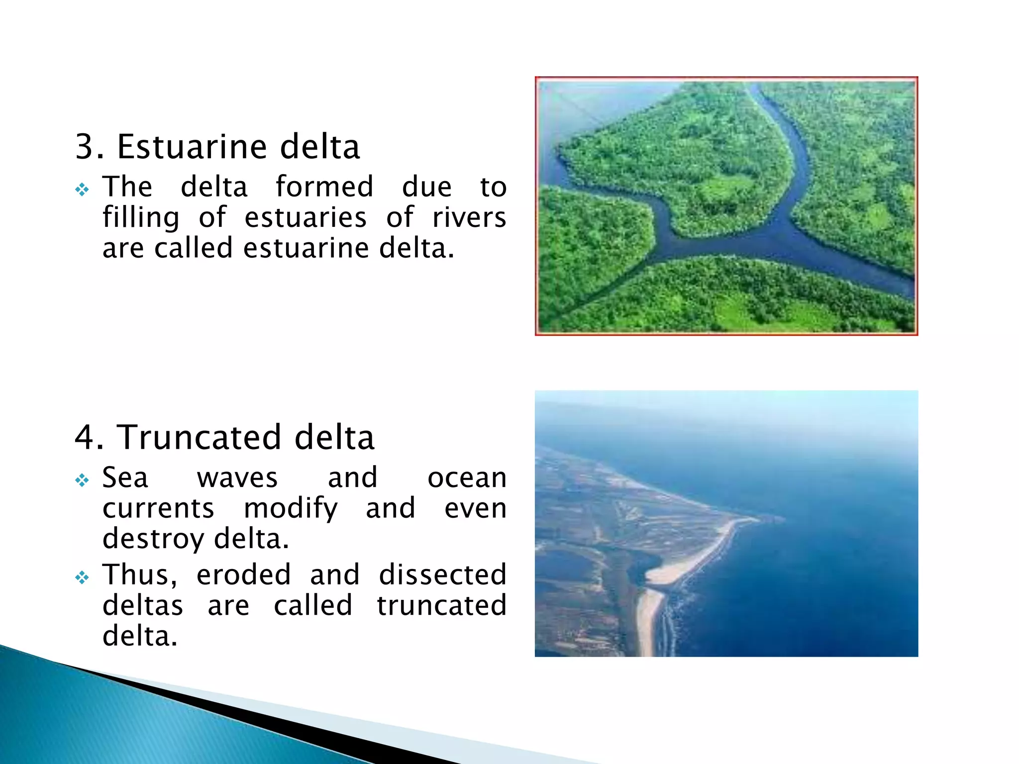
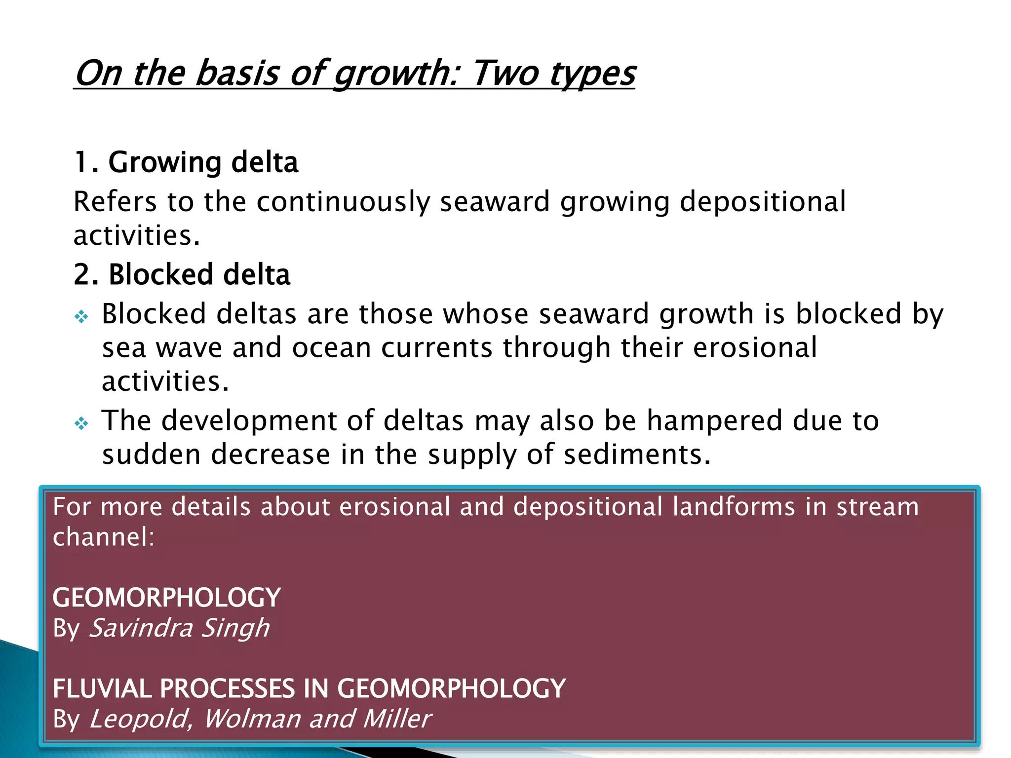
Overview of depositional landforms formed by river sediments such as Alluvial Fans, Natural Levees, Flood Plains, and Deltas.Characteristics and types of deltas based on shape and growth, including factors influencing their formation and erosion.


