Downloaded 169 times

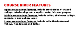
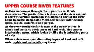
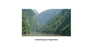
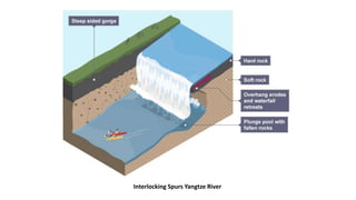
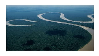
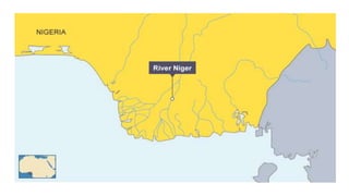
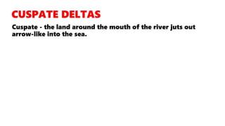
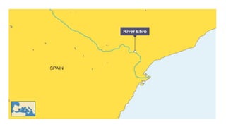

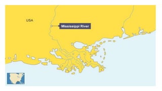

This document summarizes the key landforms found in the upper, middle, and lower courses of a river. In the upper course, steep valleys and gorges form due to erosion. Meanders and oxbow lakes develop in the middle course as the gradient decreases. The lower course features wide floodplains and deltas, where deposition exceeds erosion at the river's mouth.


