Downloaded 430 times
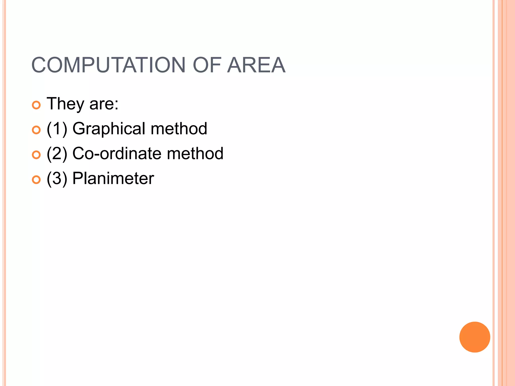
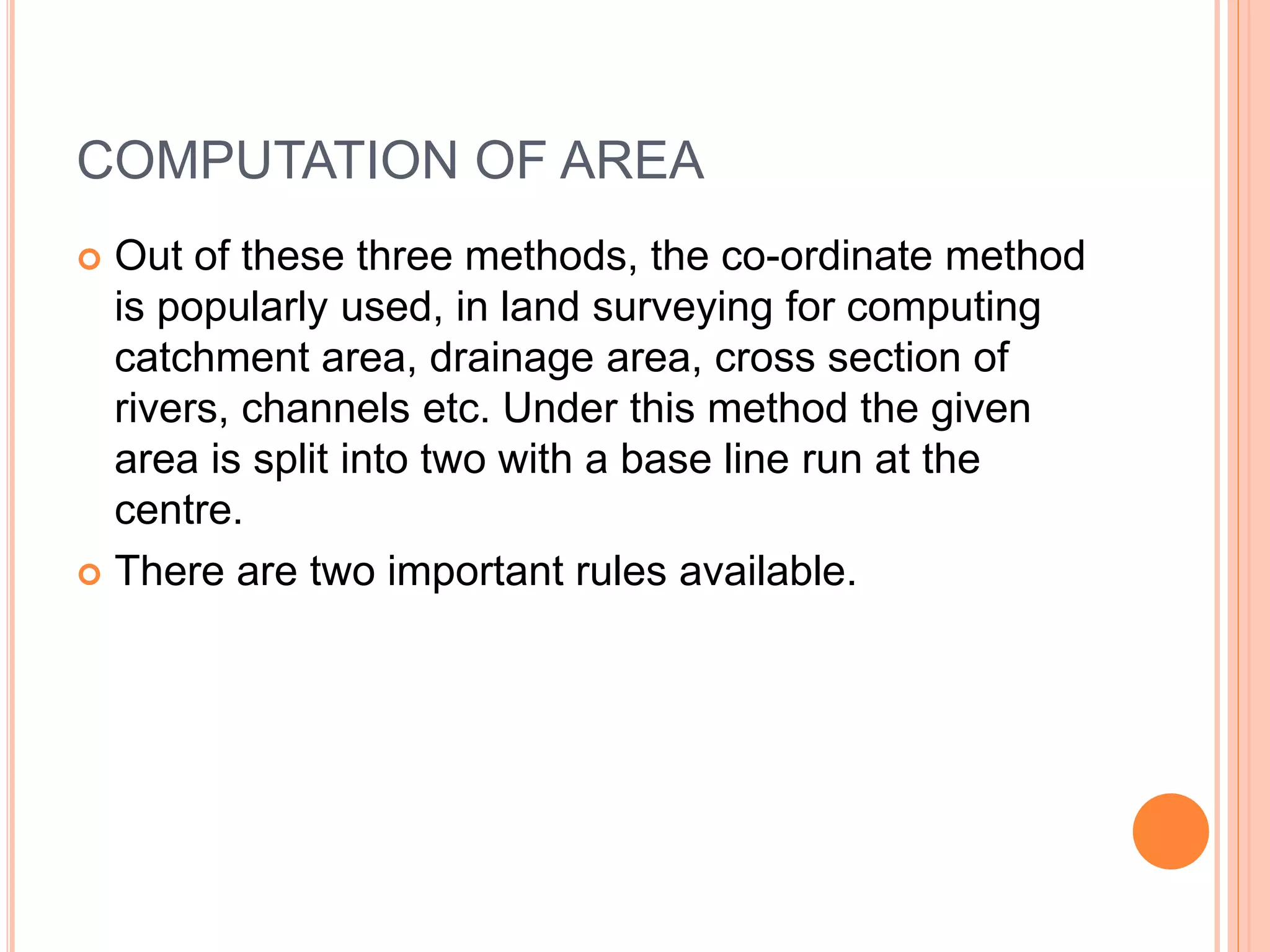
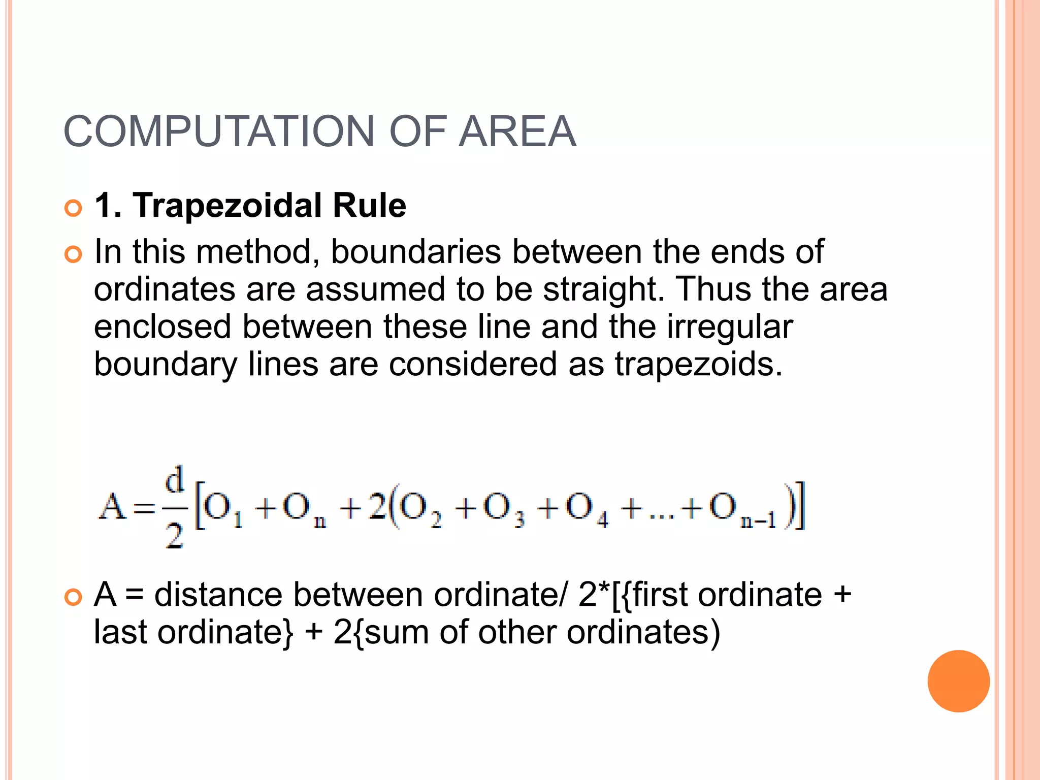
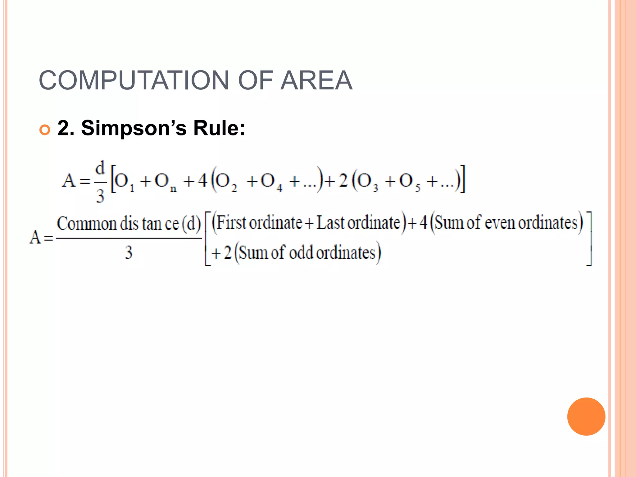
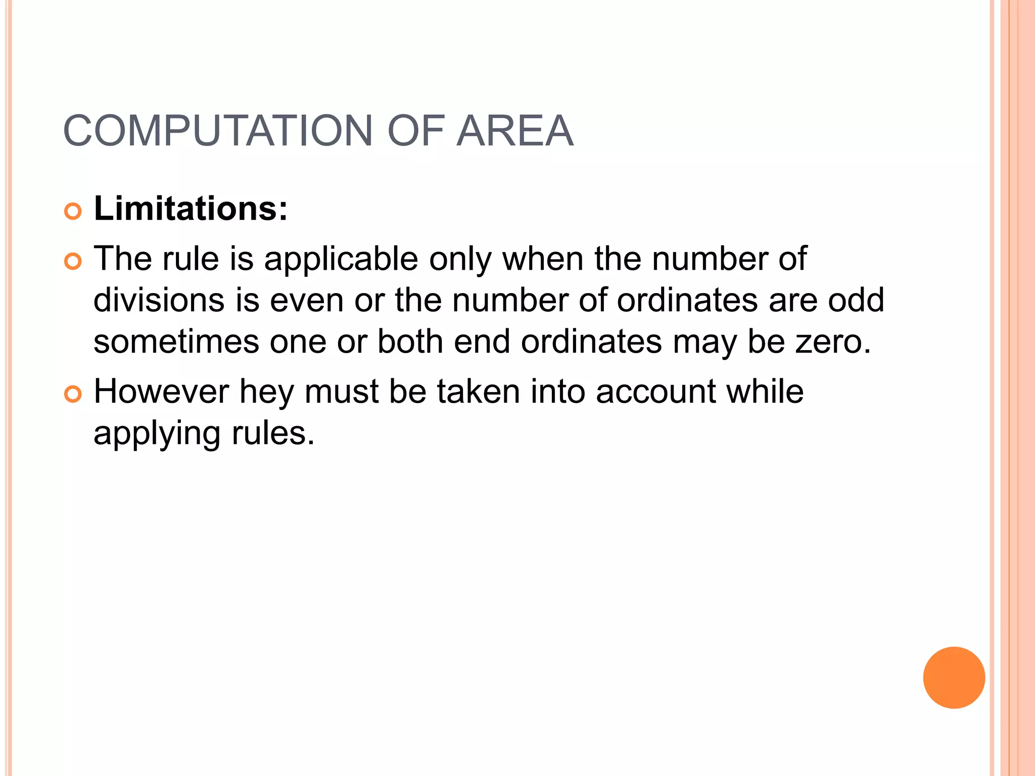
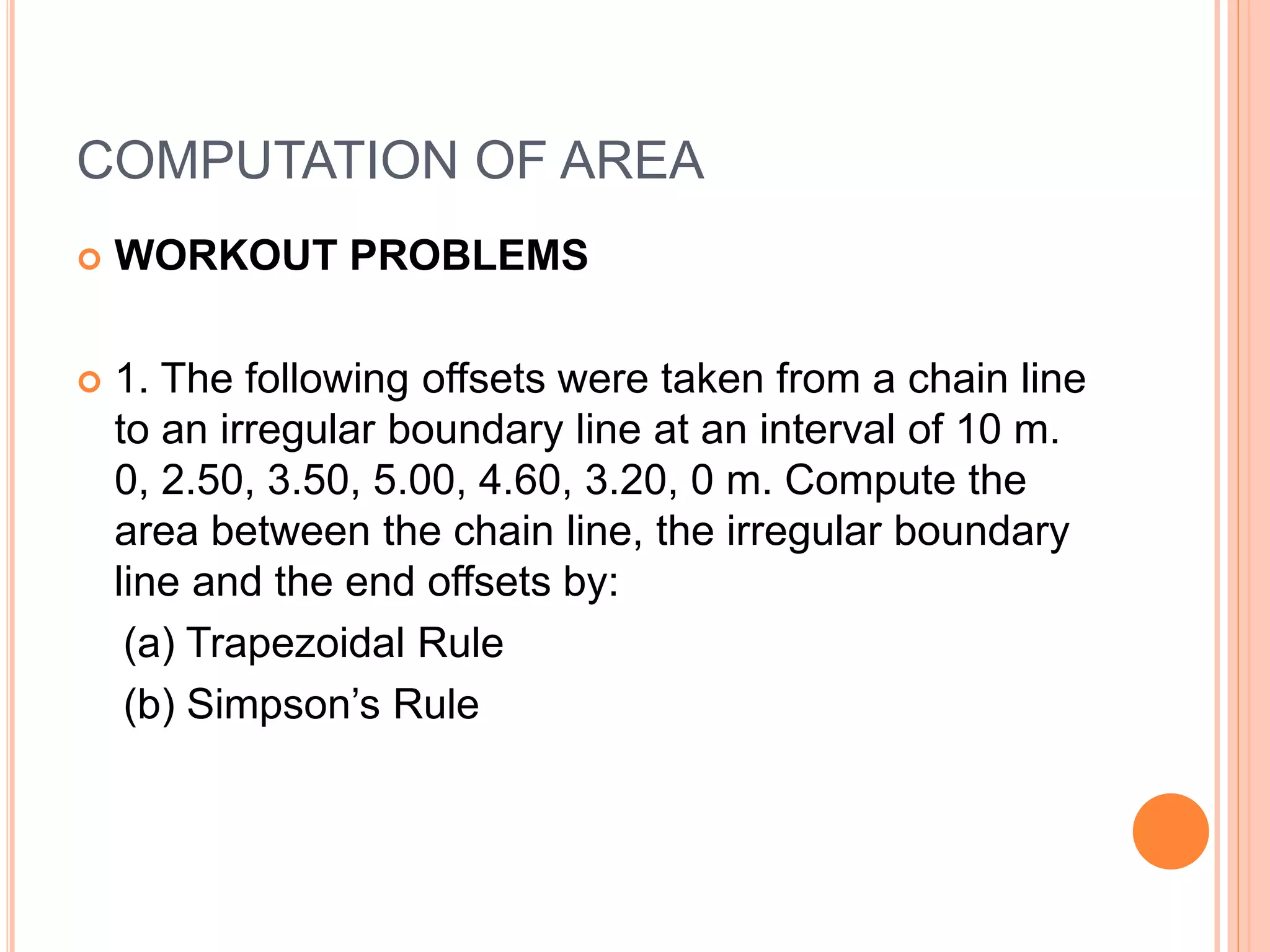
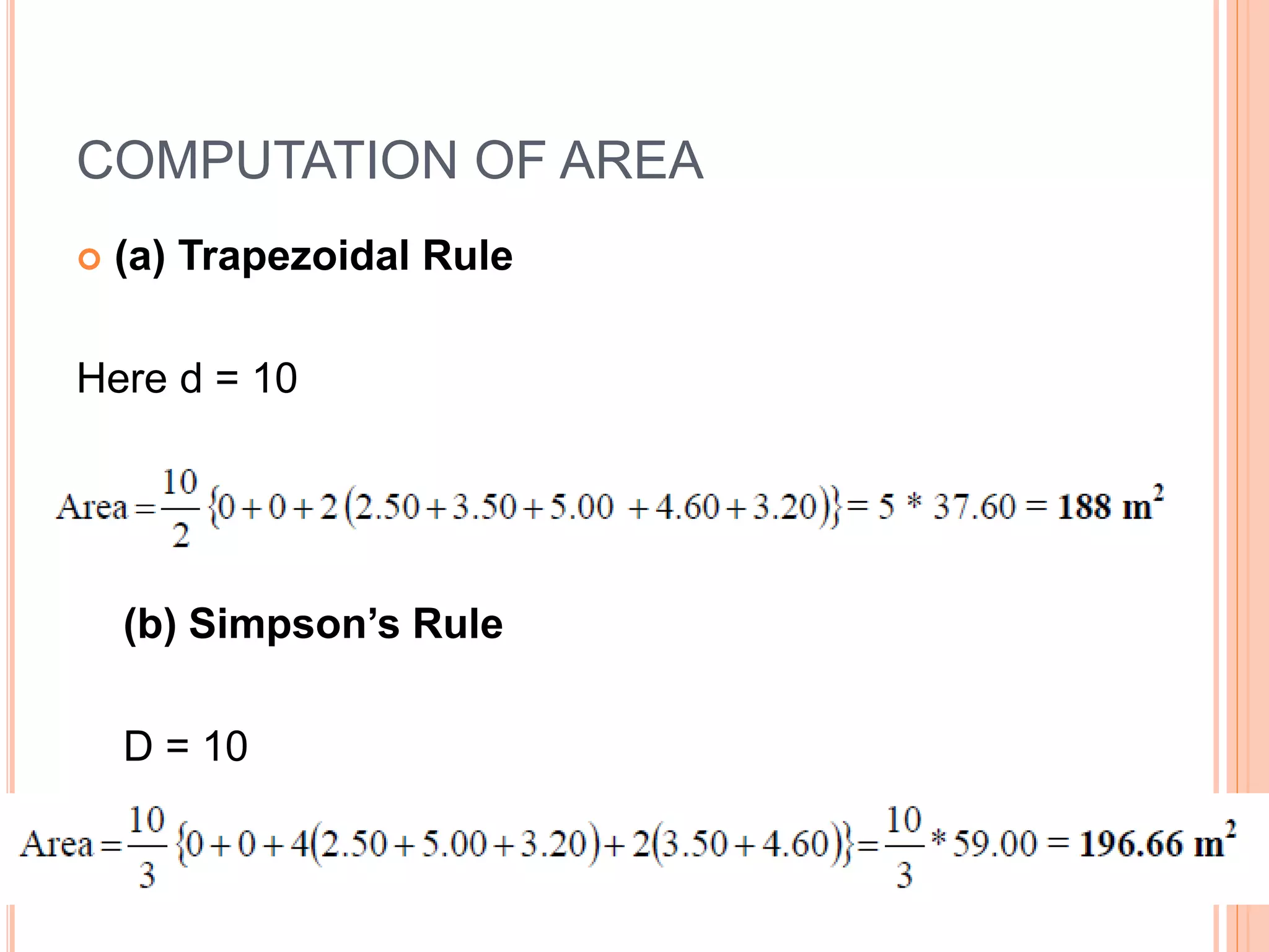
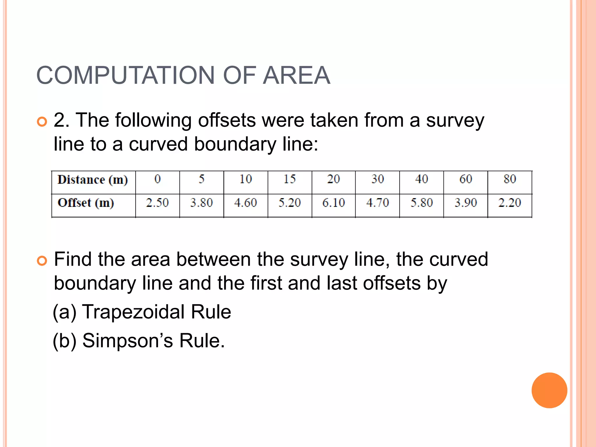
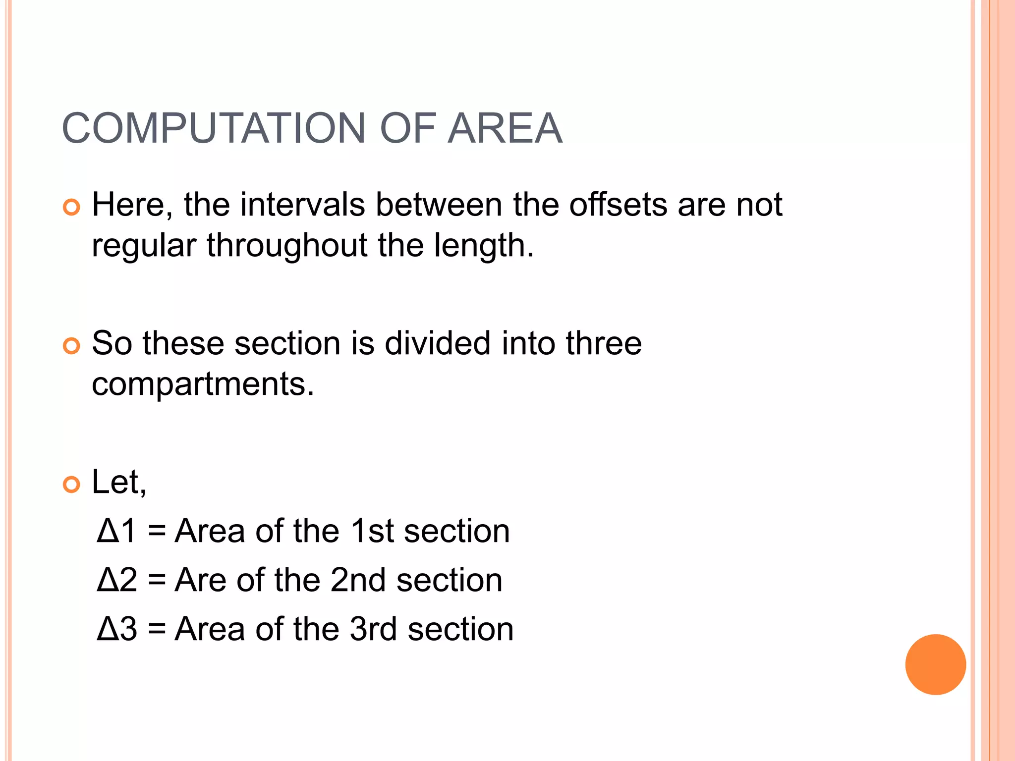
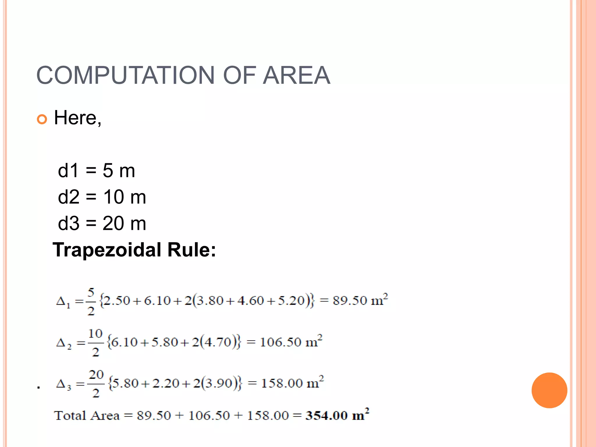
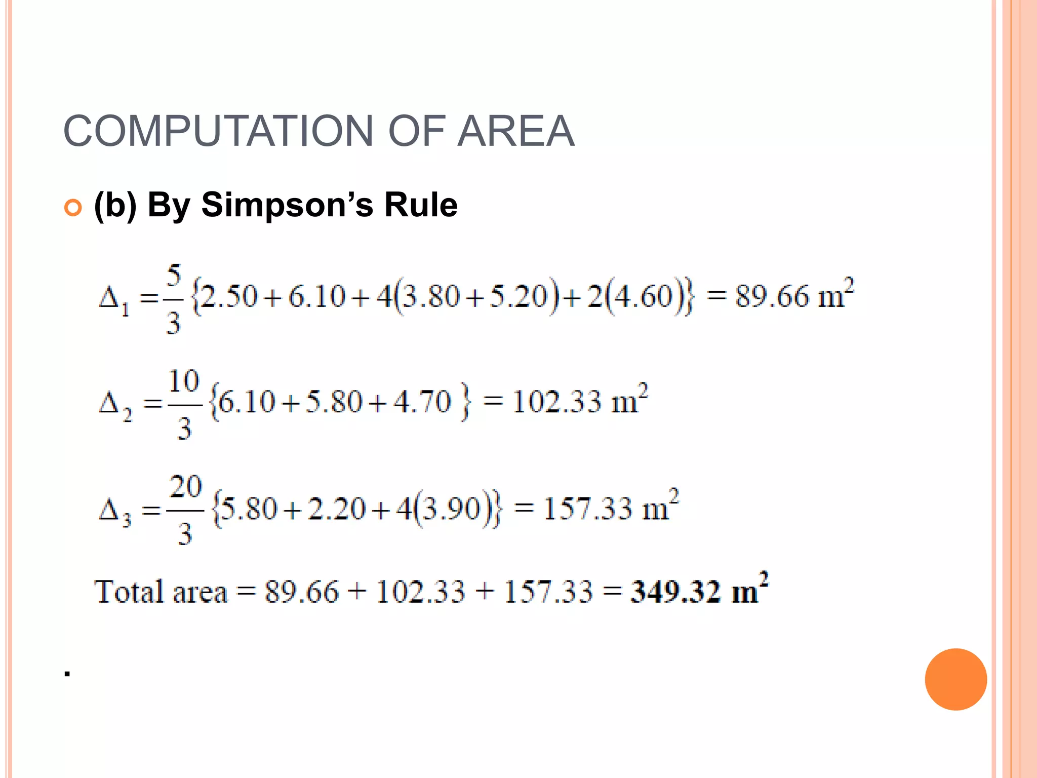


This document discusses different methods for calculating areas in surveying, including graphical, coordinate, and planimeter methods. The coordinate method is commonly used to calculate irregular areas by splitting them into trapezoids and applying the trapezoidal rule or Simpson's rule formulas. Examples are provided to demonstrate calculating areas using offsets and these rules, along with limitations around applying the rules to datasets with irregular intervals.