Downloaded 12,230 times
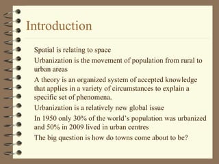

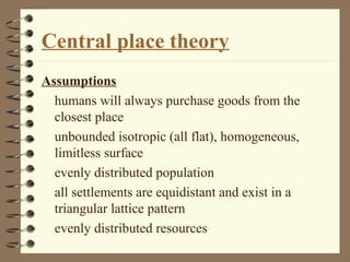
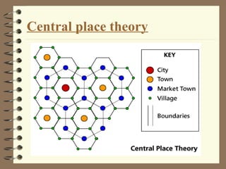


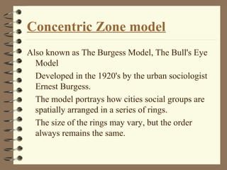
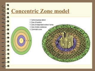


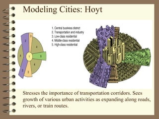


The document discusses various theories of urban development and spatial organization, including central place theory, concentric zone model, sector model, multiple nuclei model, and urban realms model. It highlights the emergence and arrangement of towns, emphasizing factors such as transportation, economic competition, and social grouping. Each model presented has its own assumptions and shortcomings, reflecting the complexity of urban design and planning.