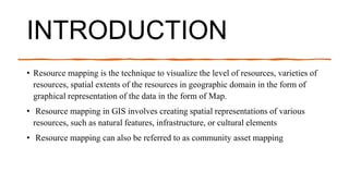
Resource mapping is a technique to visualize various resources spatially using geographical maps. It involves collecting data on resources like natural features, infrastructure, and culture, processing the data for use in GIS software, analyzing relationships between resources spatially, and producing final maps and outputs to communicate the distribution of resources. Resource mapping is used for various purposes like environmental planning, urban planning, disaster management, natural resource exploration, agricultural management, conservation, and infrastructure maintenance.