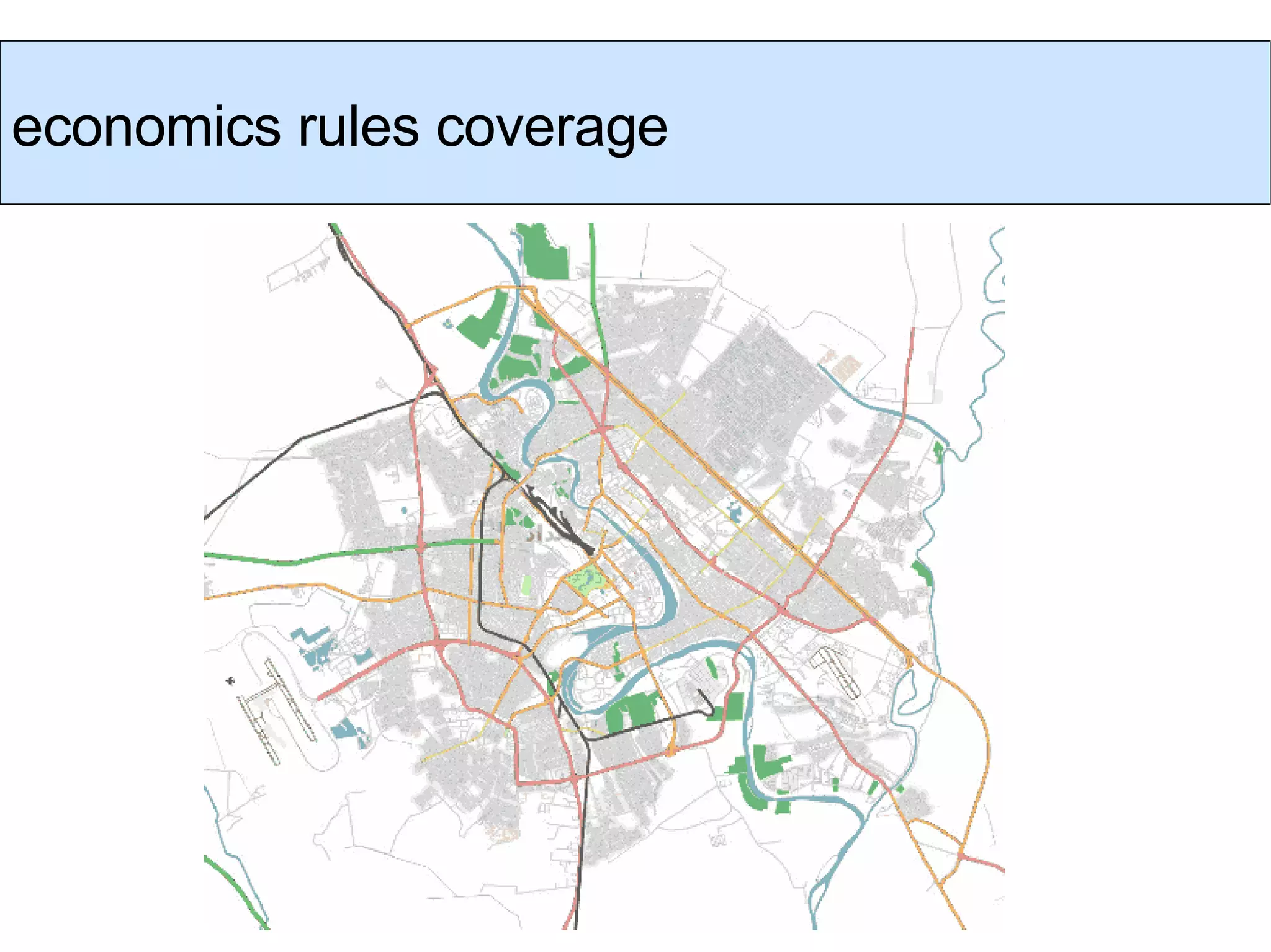
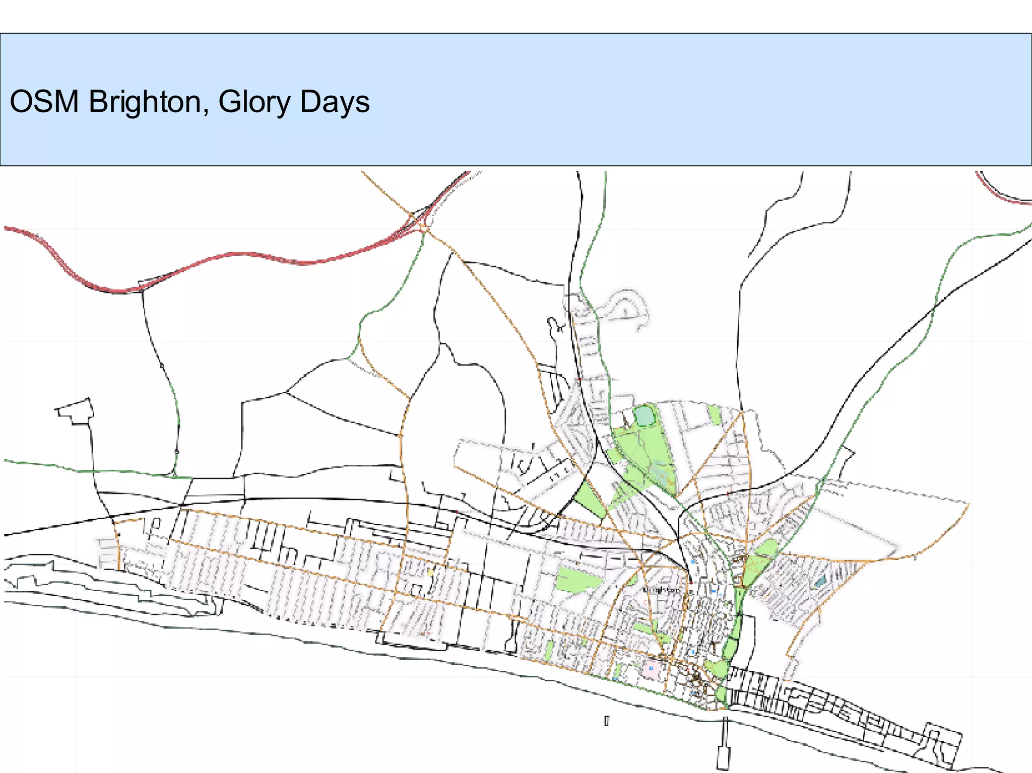
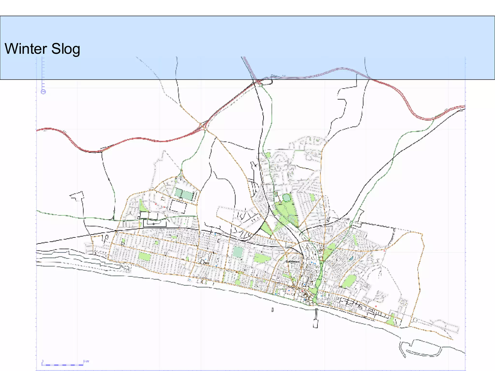
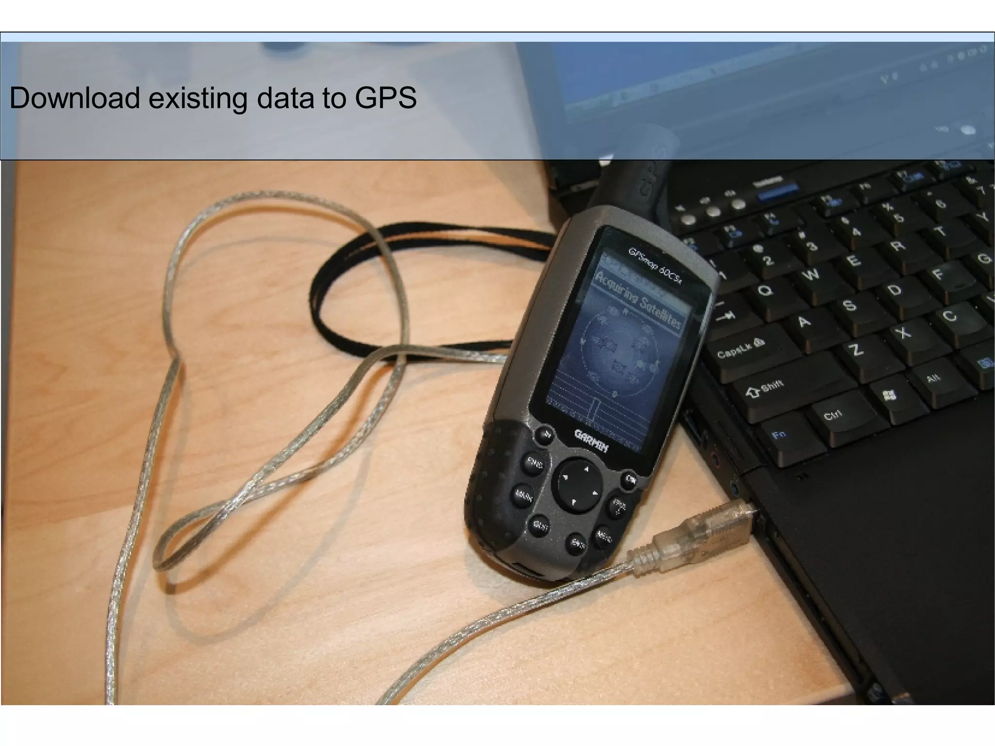
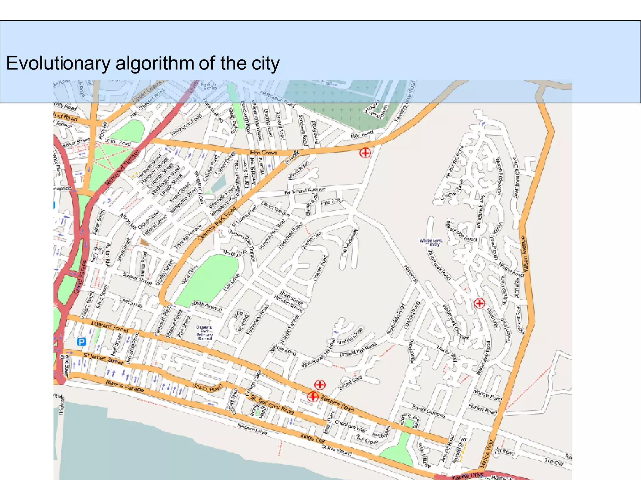
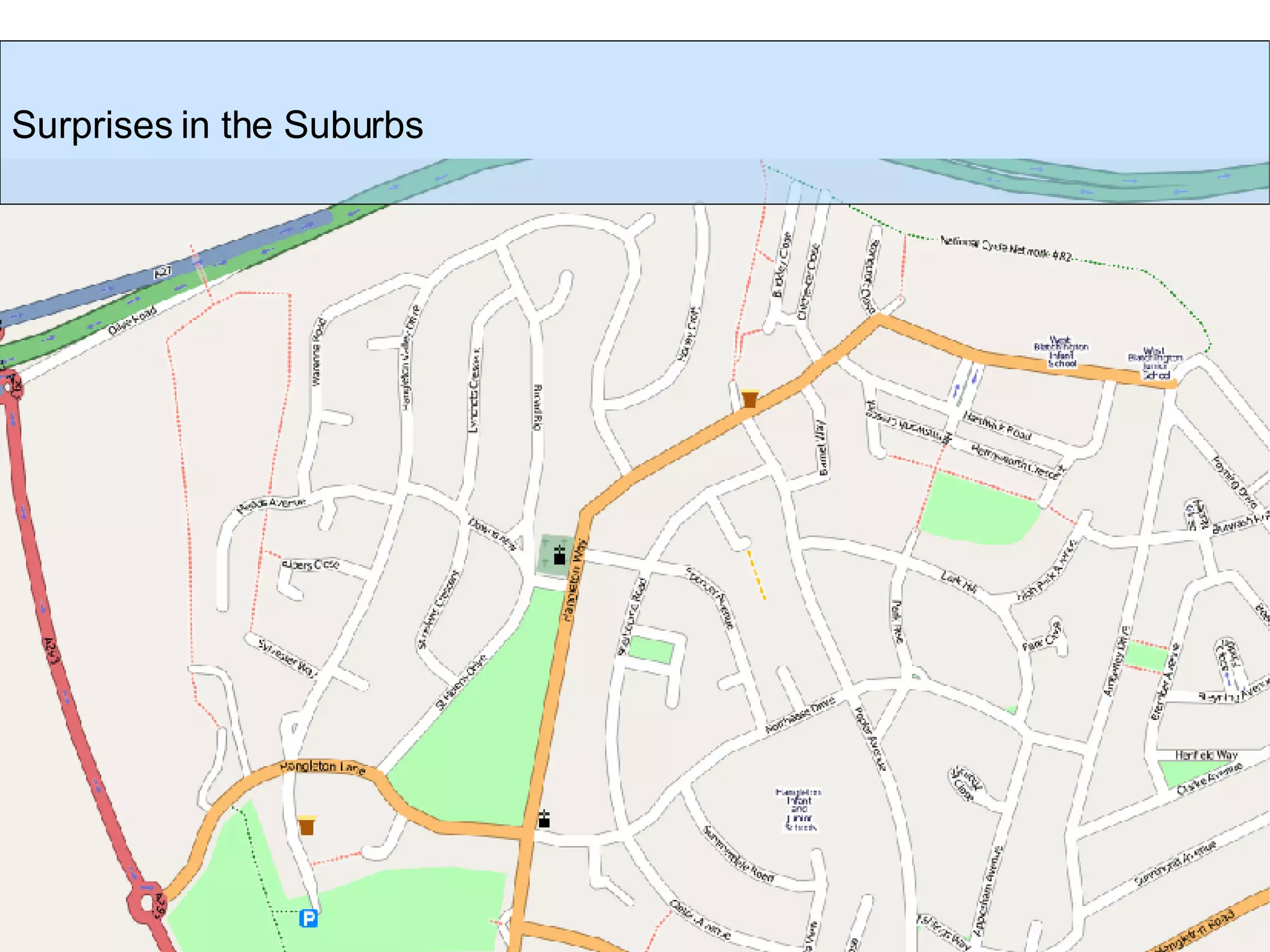
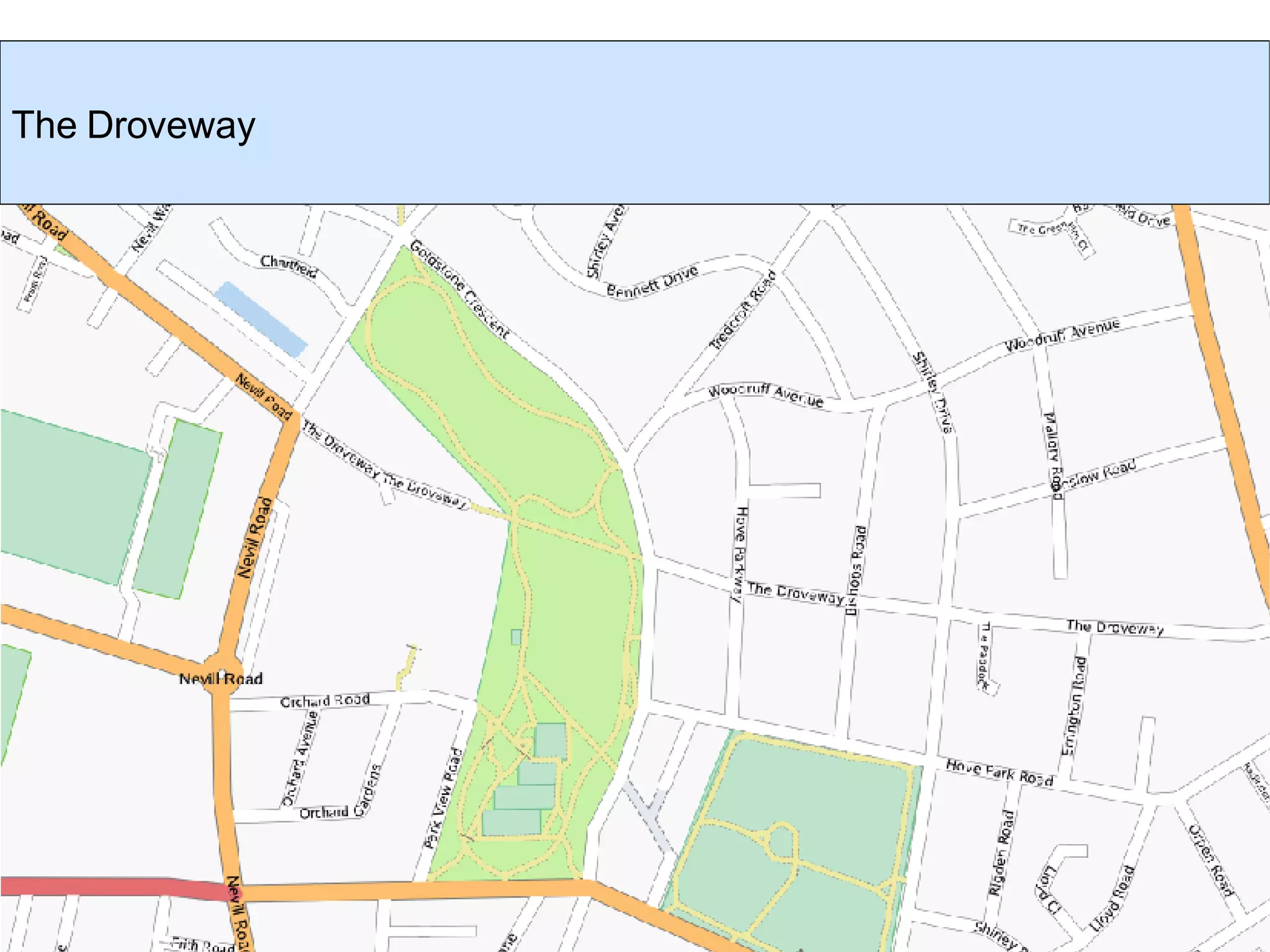
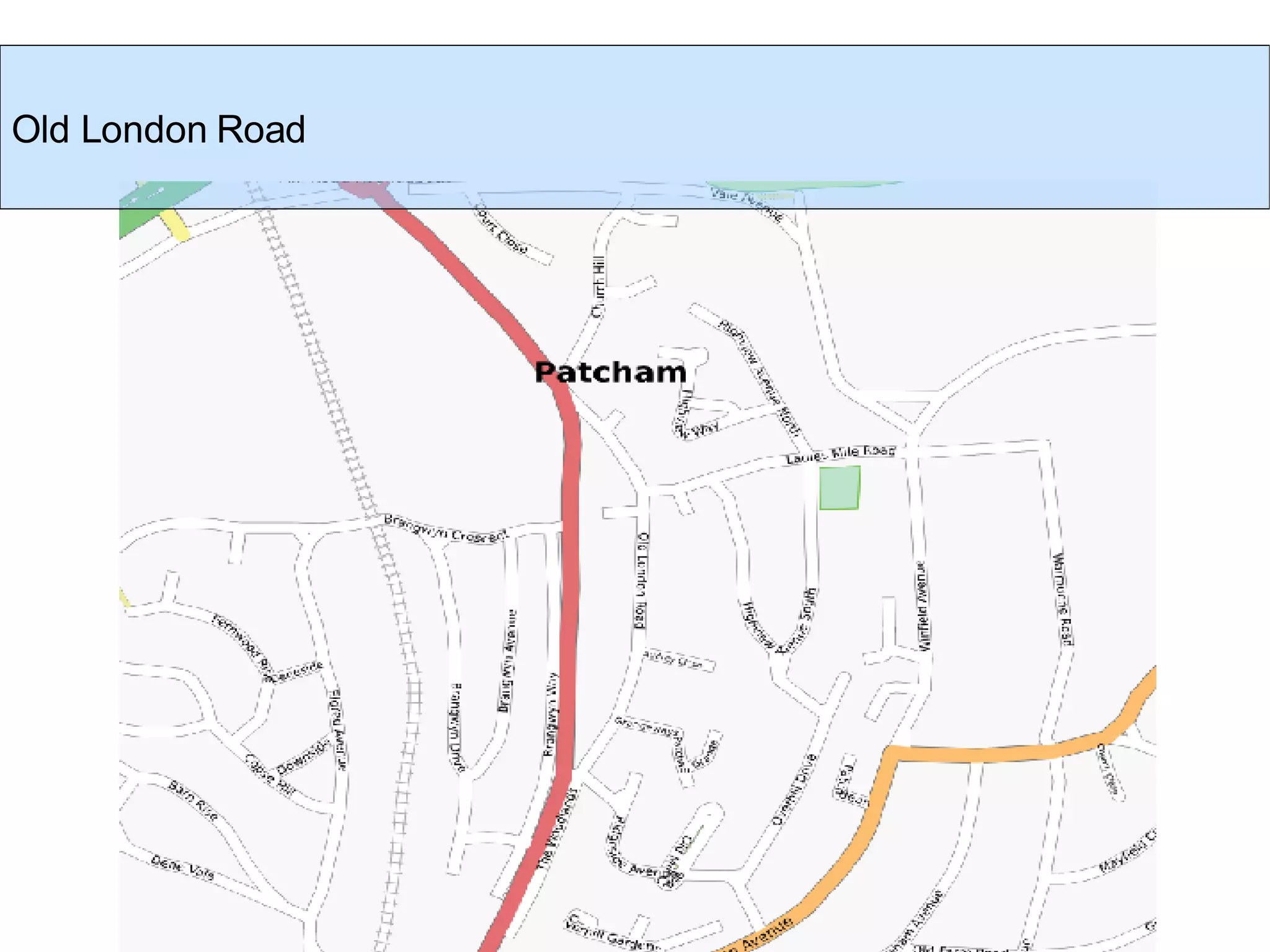
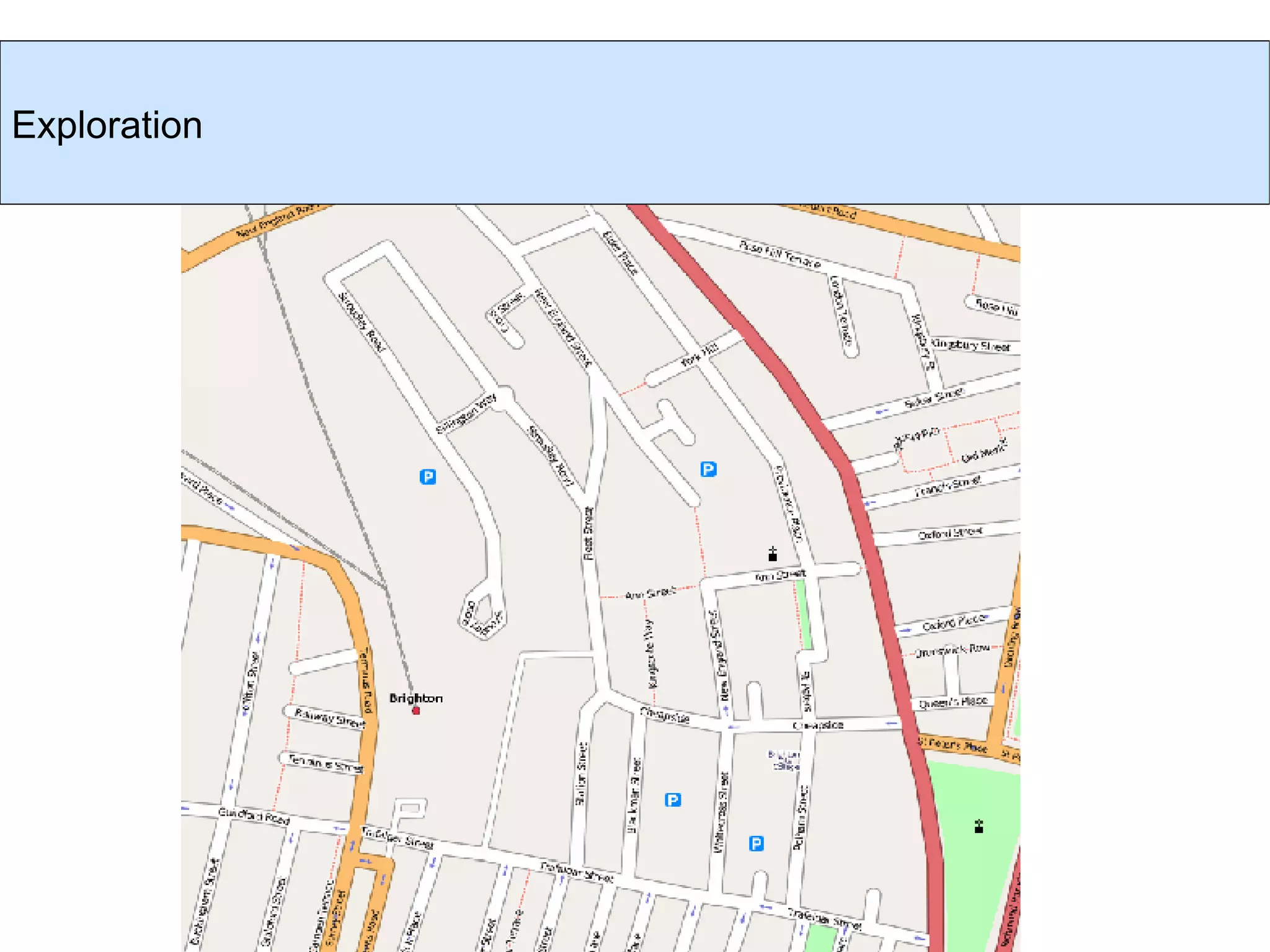
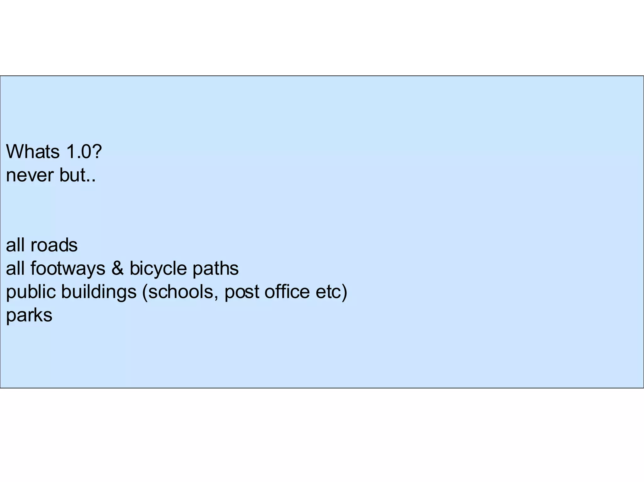
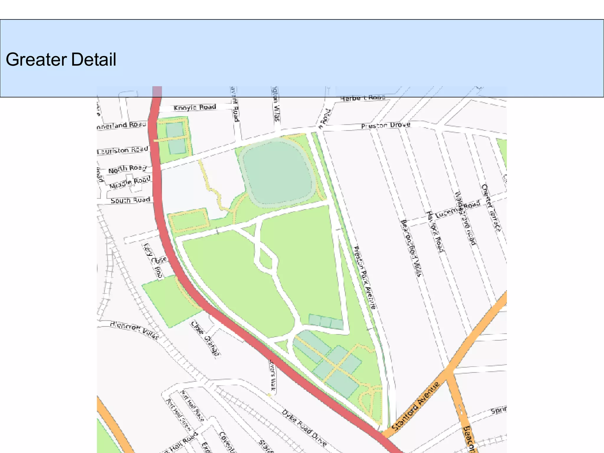
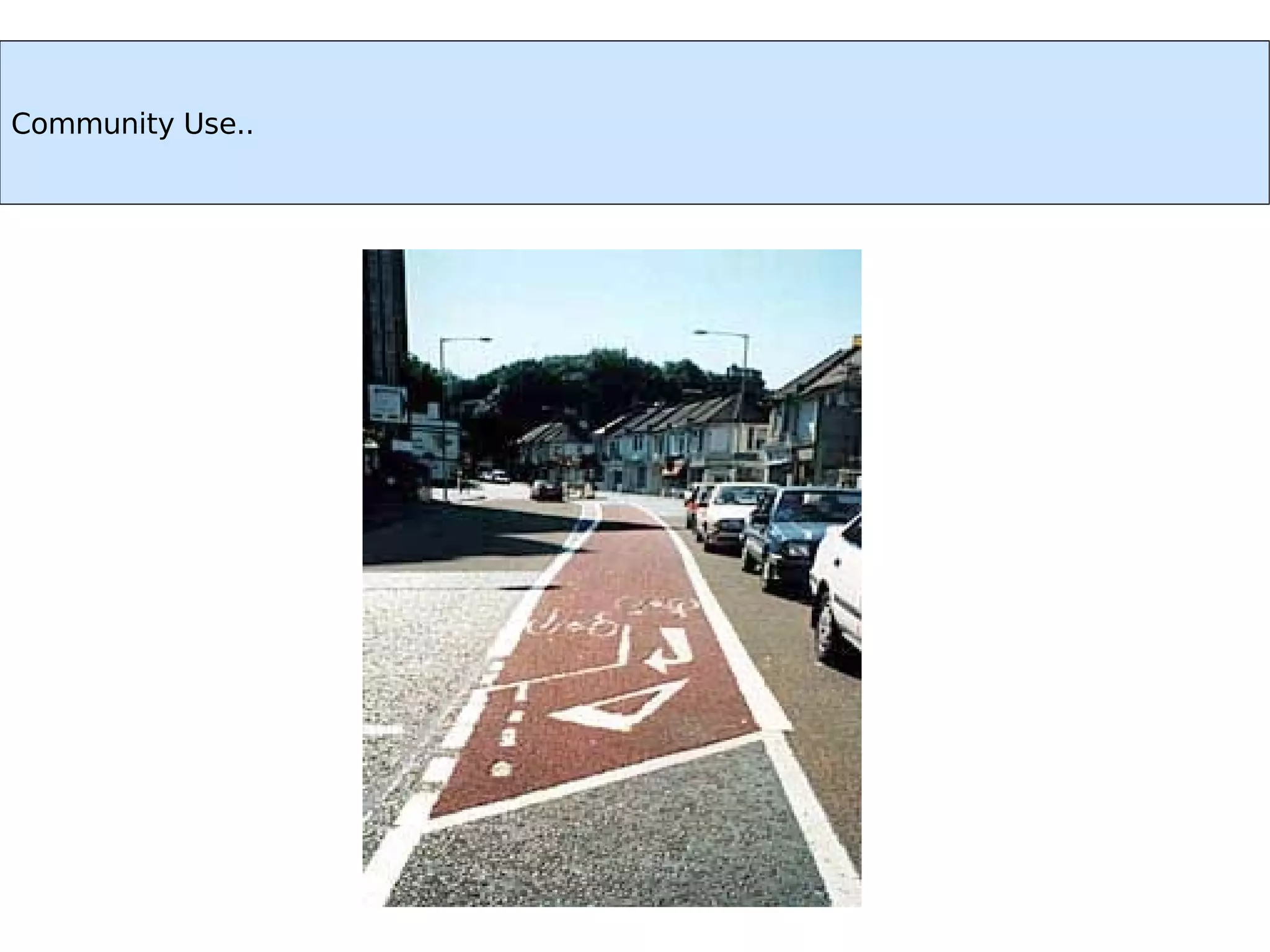
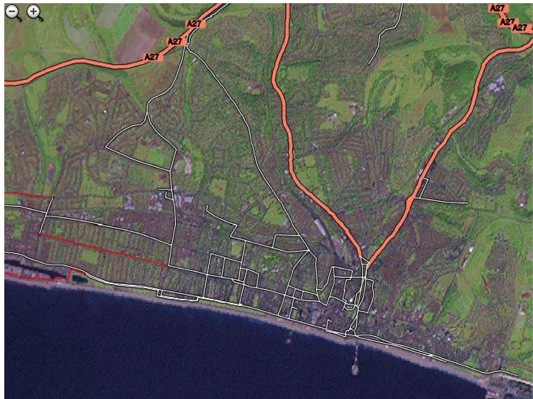
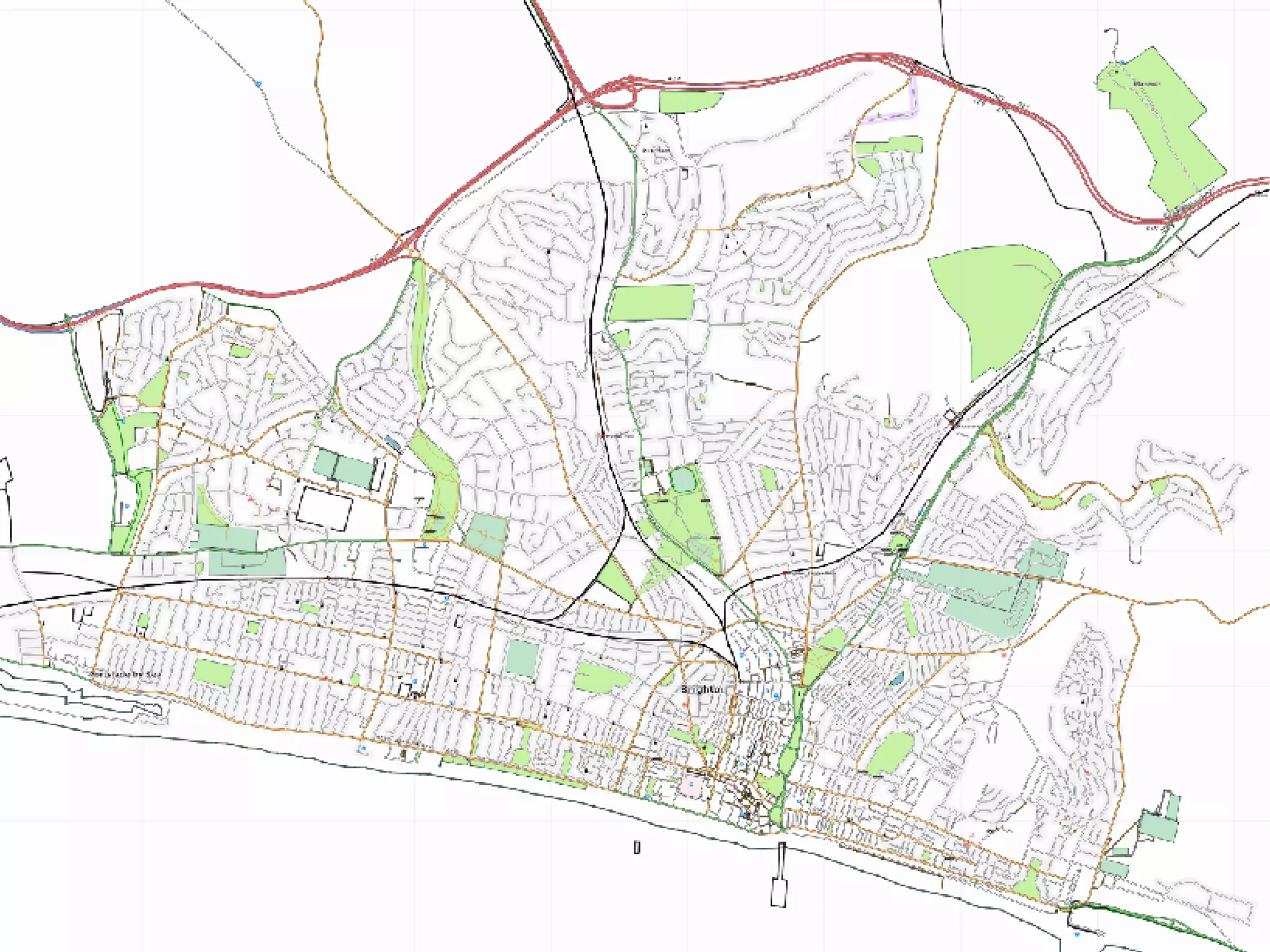
OpenStreetMap Brighton 0.9999

Loading...

Flash Player 9 (or above) is needed to view presentations.
We have detected that you do not have it on your computer. To install it, go here.

0 comments

Post a comment

    Post a comment
    Embed Video
    Edit your comment Cancel

    Favorites, Groups & Events

    OpenStreetMap Brighton 0.9999 - Presentation Transcript

    1. OpenStreetMap Brighton v 0.999 Mikel Maron, BarCampBrighton, September 8-9, 2007
    2. Cut to the chase, One year ago
    3. Today
    4. = + wtf? the openstreetmap one-liner
    5.  
    6. eCourier_GPS.mpg
    7. WHY?
    8. mapping data is not free
    9. full of mistakes, car-centered
    10. mistakes can't be corrected
    11. can't re-use, or print
    12. economics rules coverage
    13. Change happens too fast...
    14. Disasters
    15. Kiruna
    16. Olympics
    17. Times Atlas
    18. SERIOUSLY!
    19. UK Progress
    20. Sponsors
    21. GIS – Cadcorp support
    22. Yahoo! -- Imagery in OSM
    23. AND Netherlands Donation
    24. Foundation and Conference
    25. Companies kinda get it
    26. TECH
    27. restful API + simple data format + tagging for metadata = thriving ecosystem of renderers, editors.. Rails
    28. Mapstraction ...one API to cover them all, incl OSM
    29. BRIGHTON
    30. Workshop, day after dConstruct 2006
    31. Chris Corbin
    32. OSM Brighton, Glory Days
    33. Winter Slog
    34. Today Summer Suburban Drives
    35. Launch -- November??
    36. 270.gif
    37. My Process
    38. Download existing data to GPS
    39. Print Out Map for Notes, Bicycle
    40. Network Diagram
    41. Upload Tracks
    42. Draw Over Them
    43. API (Rails)‏ Potlatch (Flash)‏ JOSM (Java)‏ Database ... Renderer Mapnik tiles@ home osmarender, pdfatlas, ... planet dump MySQL Viewer Slippy Map (Open Layers)‏ “ Google” tiles “ Google” tiles Editors Rendering, etc.
    44. WHY IT'S FUN, DECONSTRUCT THE CITY
    45. Evolutionary algorithm of the city
    46. Dirt roads in the city
    47. Surprises in the Suburbs
    48. The Droveway
    49. Old London Road
    50. Exploration
    51. WHAT NOW?
    52. Known Unknowns
    53. Whats 1.0? never but.. all roads all footways & bicycle paths public buildings (schools, post office etc)‏ parks
    54. A new phase... Change History Diffs Visualization Monitoring Stewardship
    55. A new use model Small changes Simply reporting updates and errors
    56. Greater Detail
    57. OpenAerialMap
    58. Community Use!
    59. Community Use..
    60. Community Use..
    61. Launch Event November? govt and politicians – council, mayor, MP, MPE schools designers developers activists local history groups transport agencies business media
    62. Cut to the chase, One year ago
    63. Today
    64. Thanks! http://wiki.openstreetmap.org/index.php/Brighton http://slideshare.net/mikel_maron/ http://brainoff.com / [email_address]

    + mikel_maronmikel_maron, 3 years ago

    custom

    1693 views, 0 favs, 0 embeds more stats

    we're almost done

    More info about this document

    © All Rights Reserved

    Go to text version

    • Total Views 1693
      • 1693 on SlideShare
      • 0 from embeds
    • Comments 0
    • Favorites 0
    • Downloads 38
    Most viewed embeds

    more

    All embeds

    less

    Flagged as inappropriate Flag as inappropriate
    Flag as inappropriate

    Select your reason for flagging this presentation as inappropriate. If needed, use the feedback form to let us know more details.

    Cancel
    File a copyright complaint
    Having problems? Go to our helpdesk?

    Categories