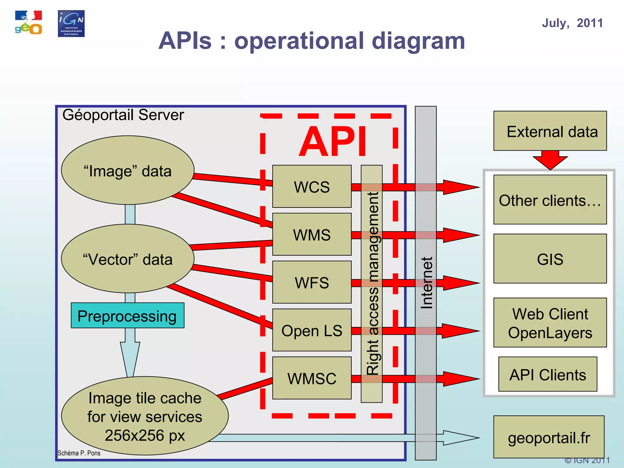
Download to read offline
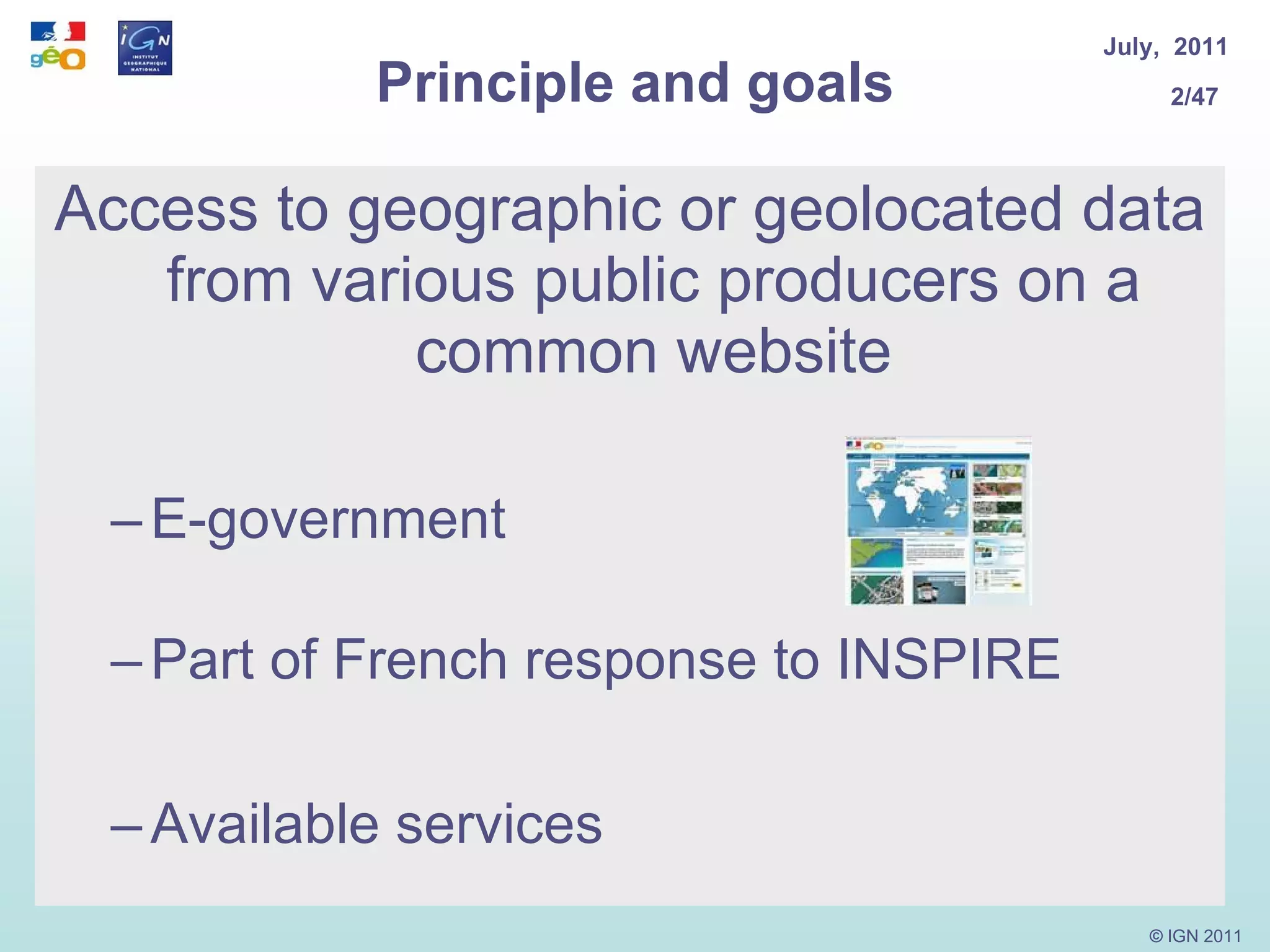
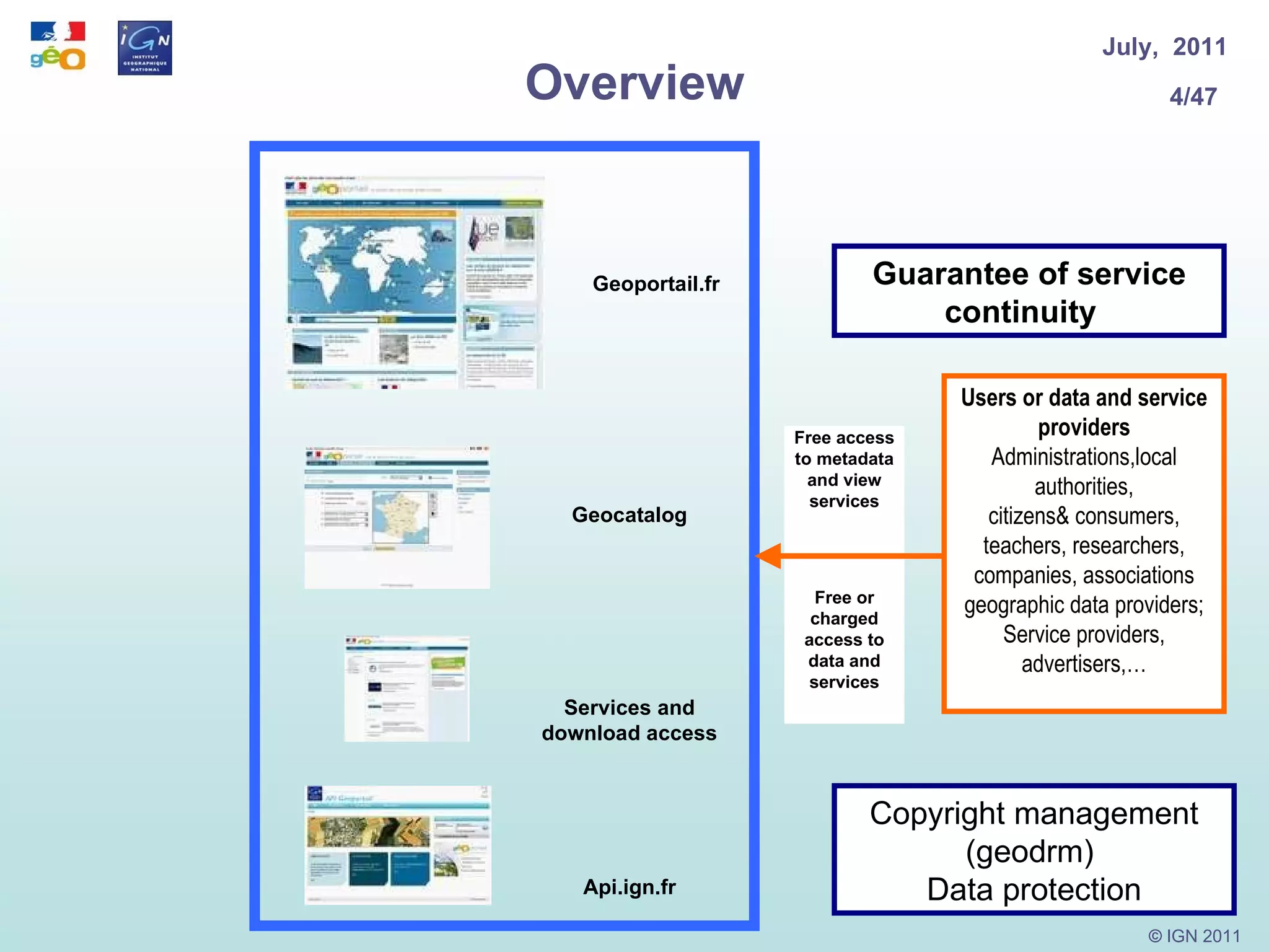
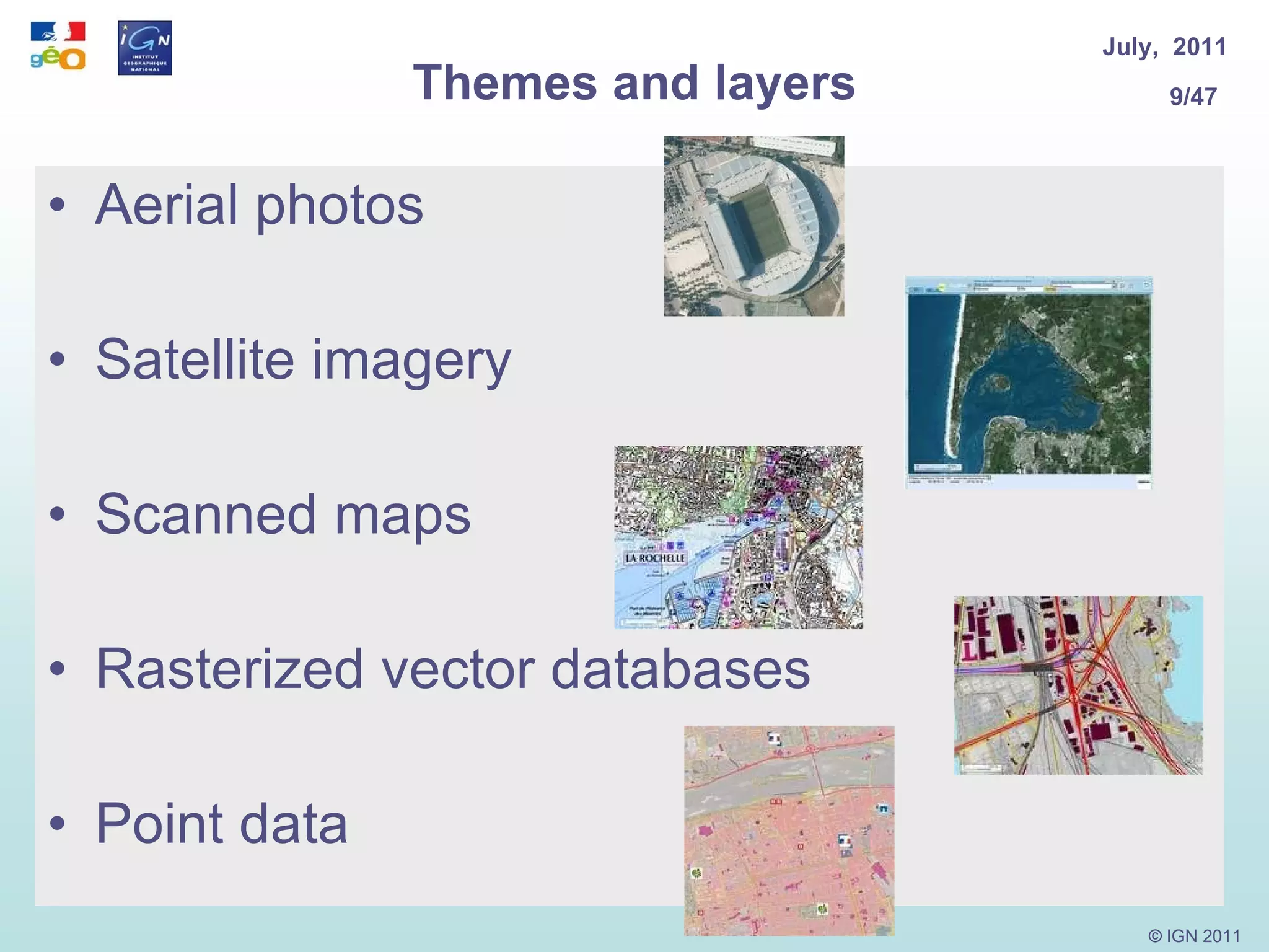
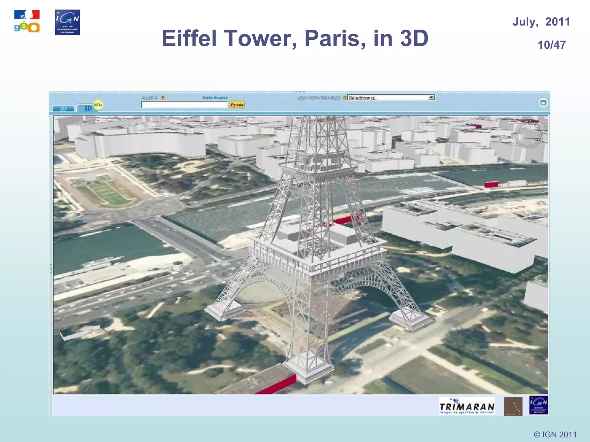
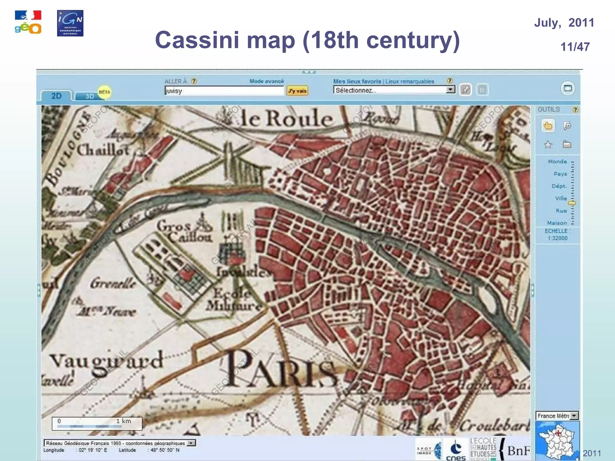
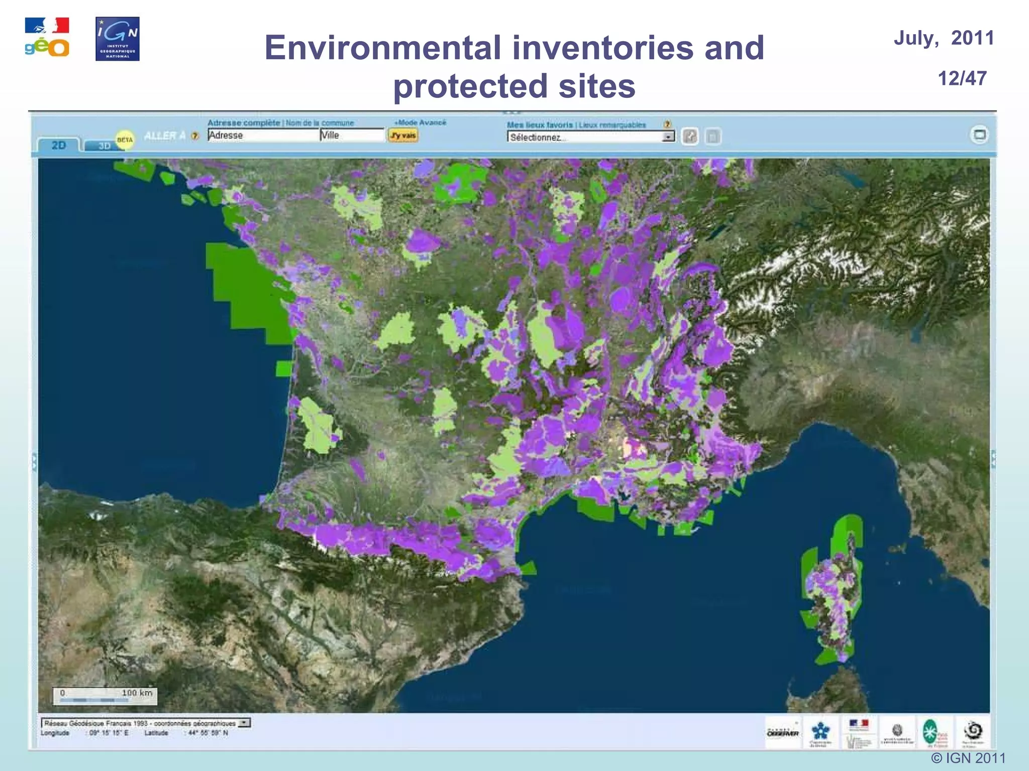
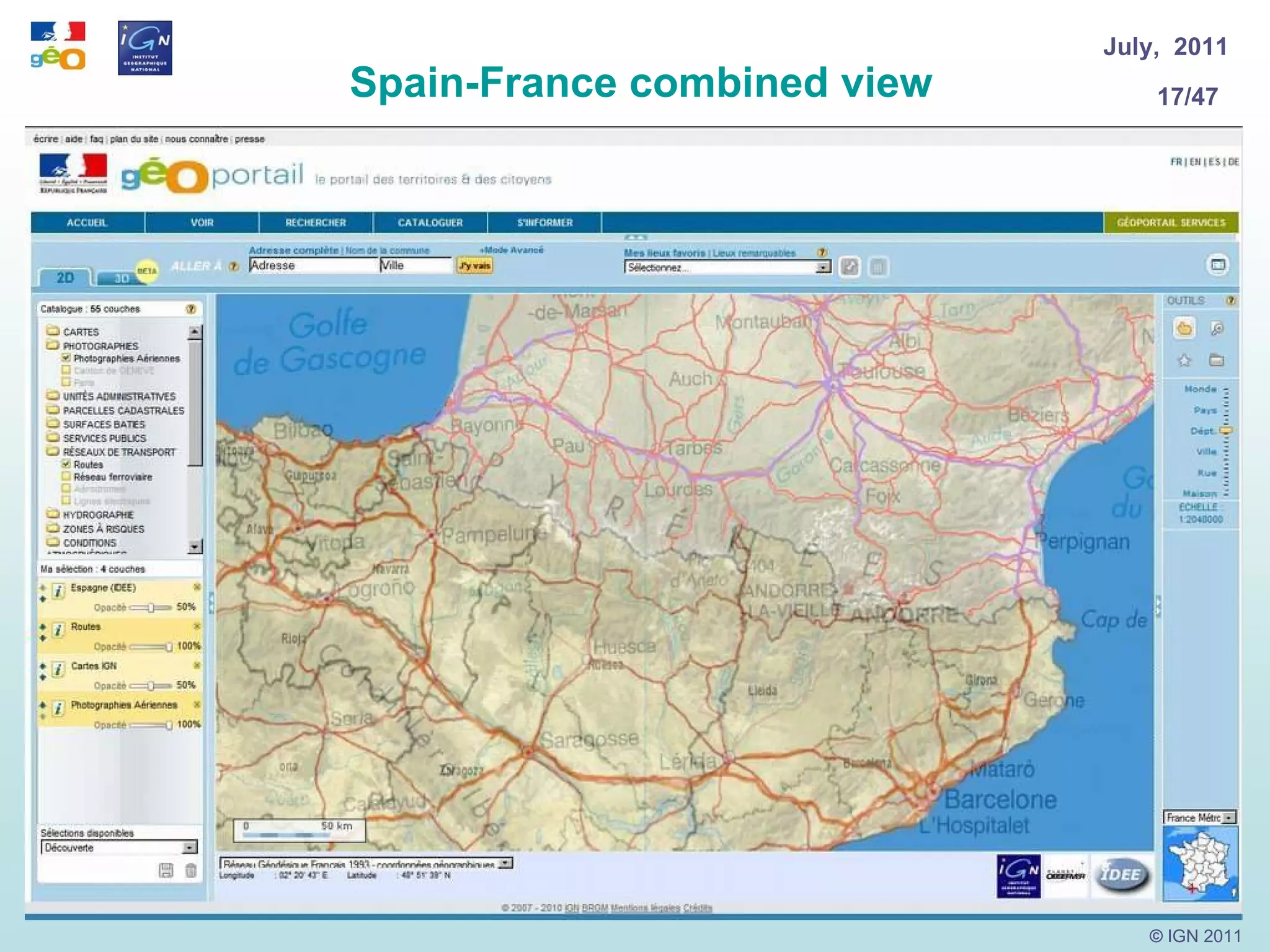
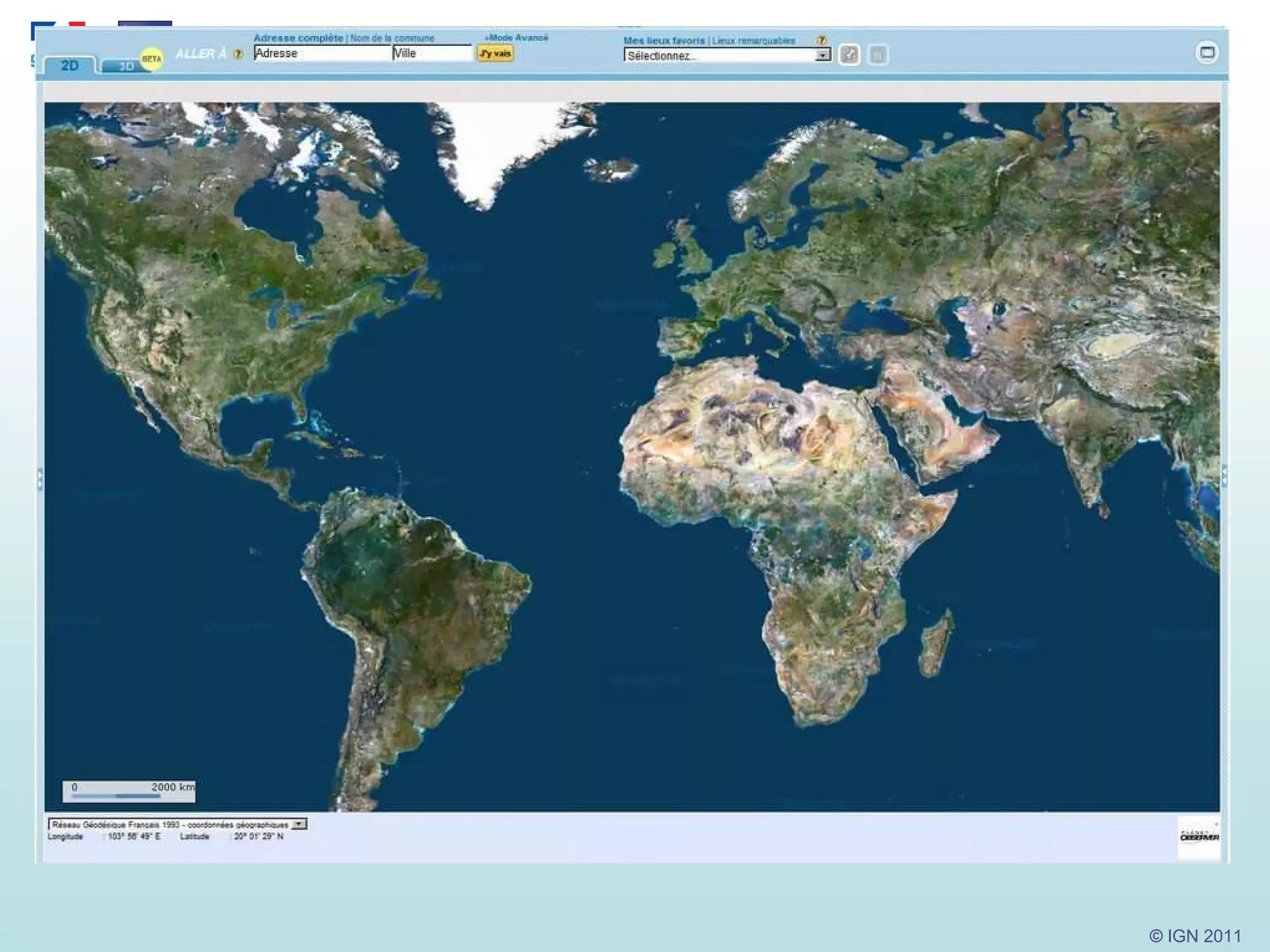
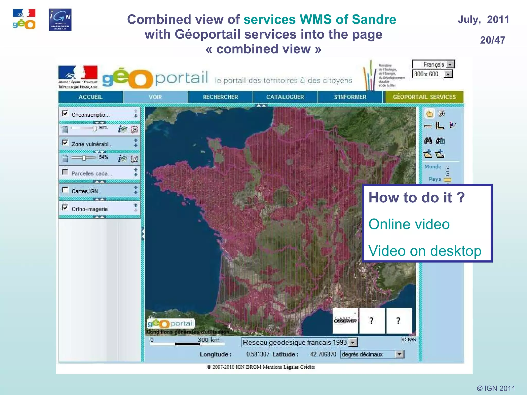
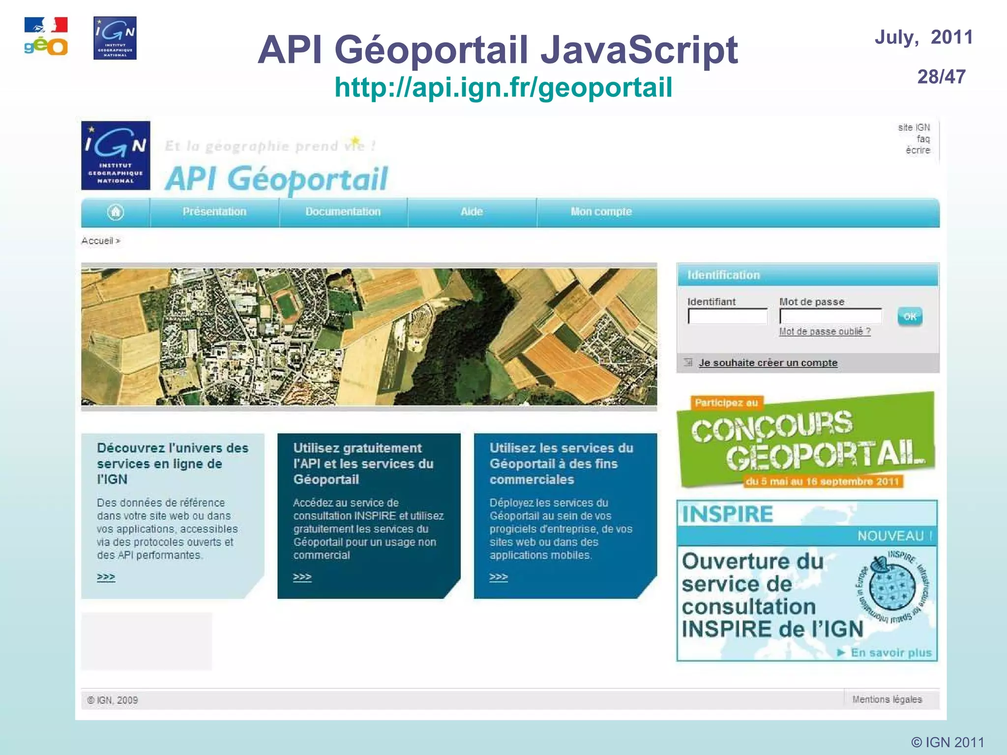
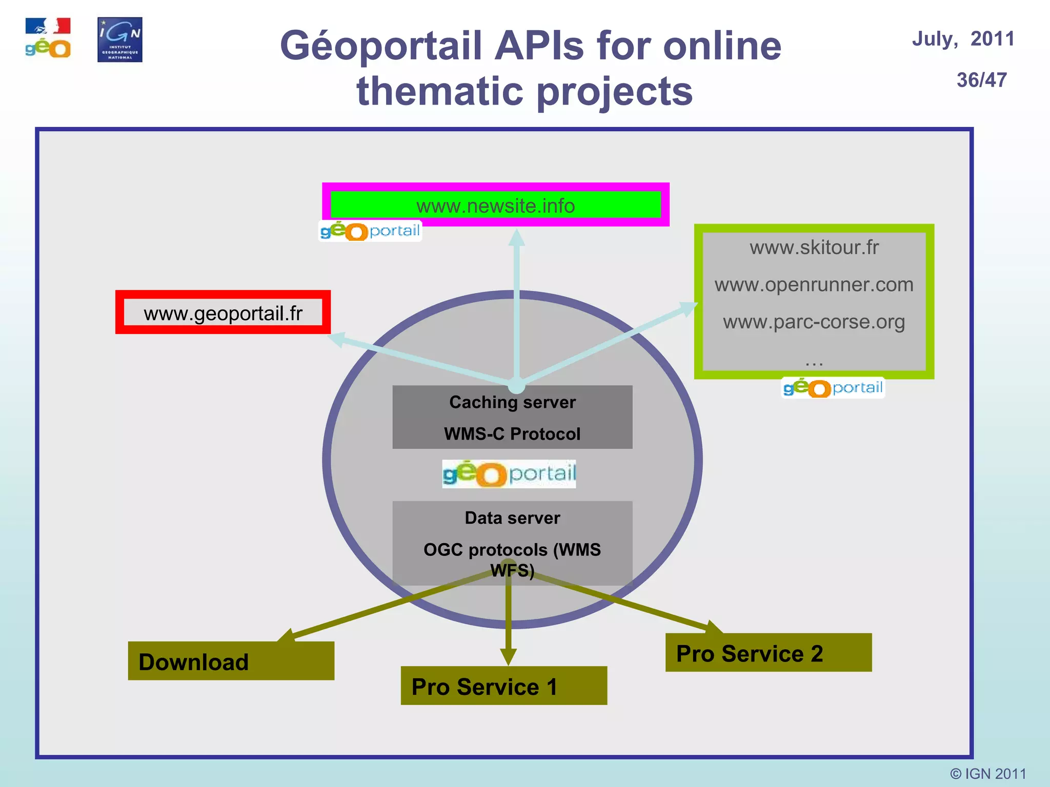


Geoportail.fr is a French government portal that provides access to geographic data and services from various public producers. It aims to provide transparent access to maps, satellite imagery, aerial photos and other geospatial data for uses like e-government services, education and research. The portal offers APIs, download services, and partnerships to enable reuse of its data and services. It supports 2D and 3D views of maps and aims to make geographic information freely available to all.


