Downloaded 29 times
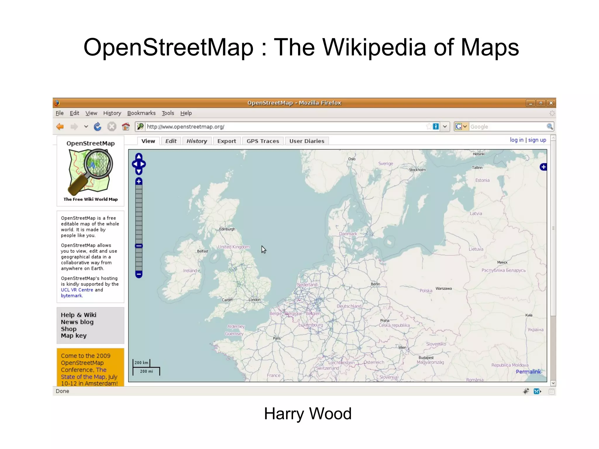
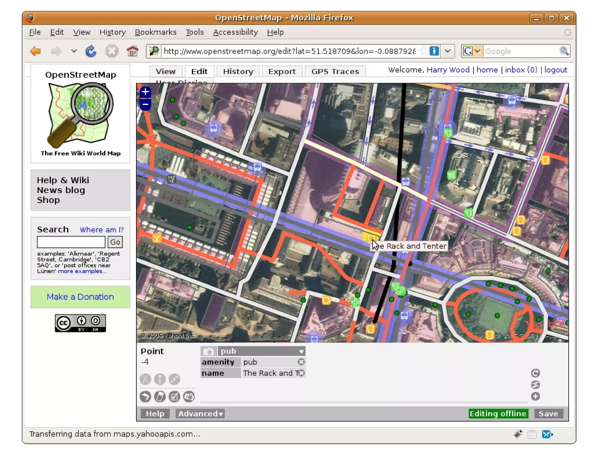
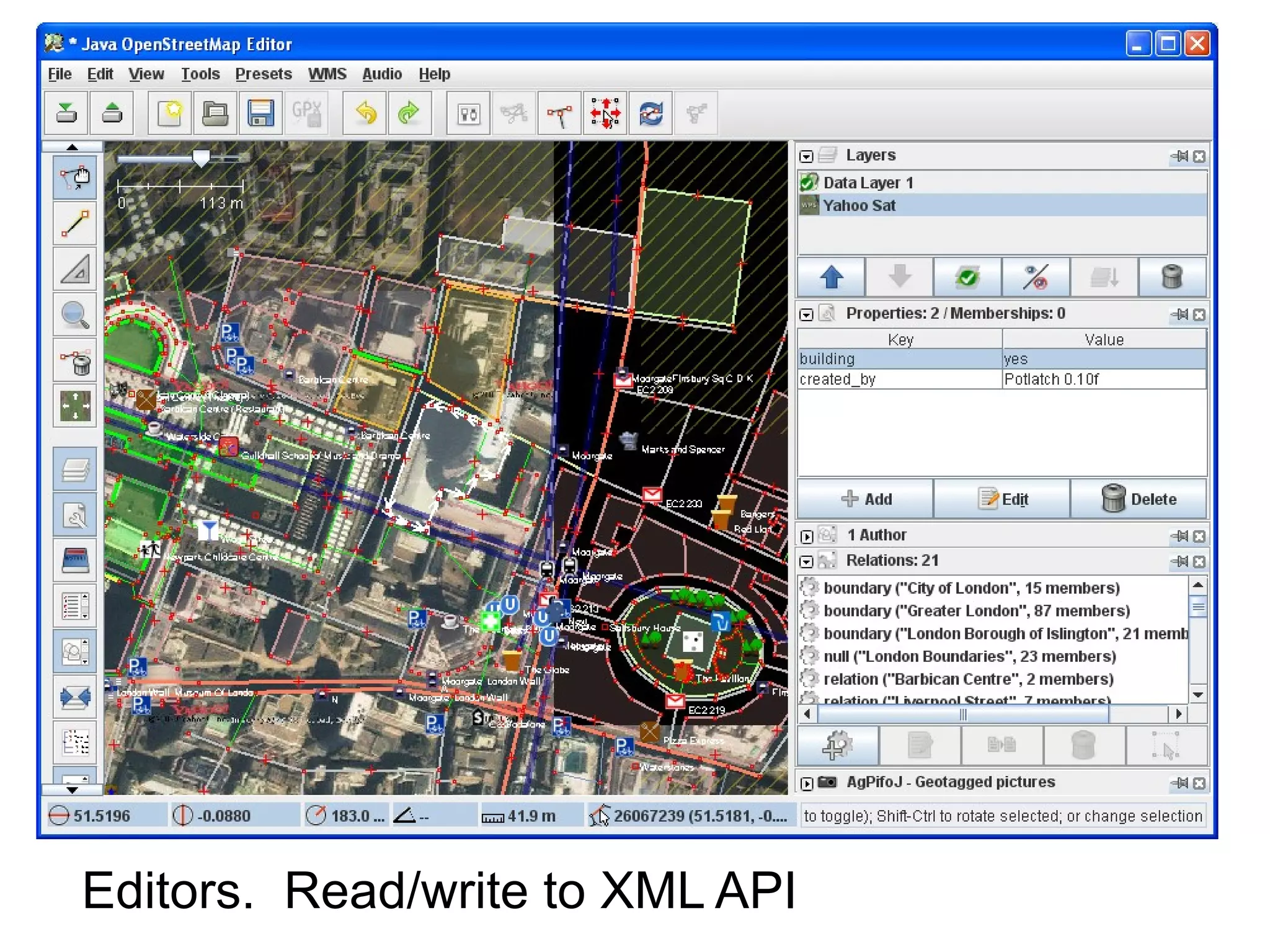
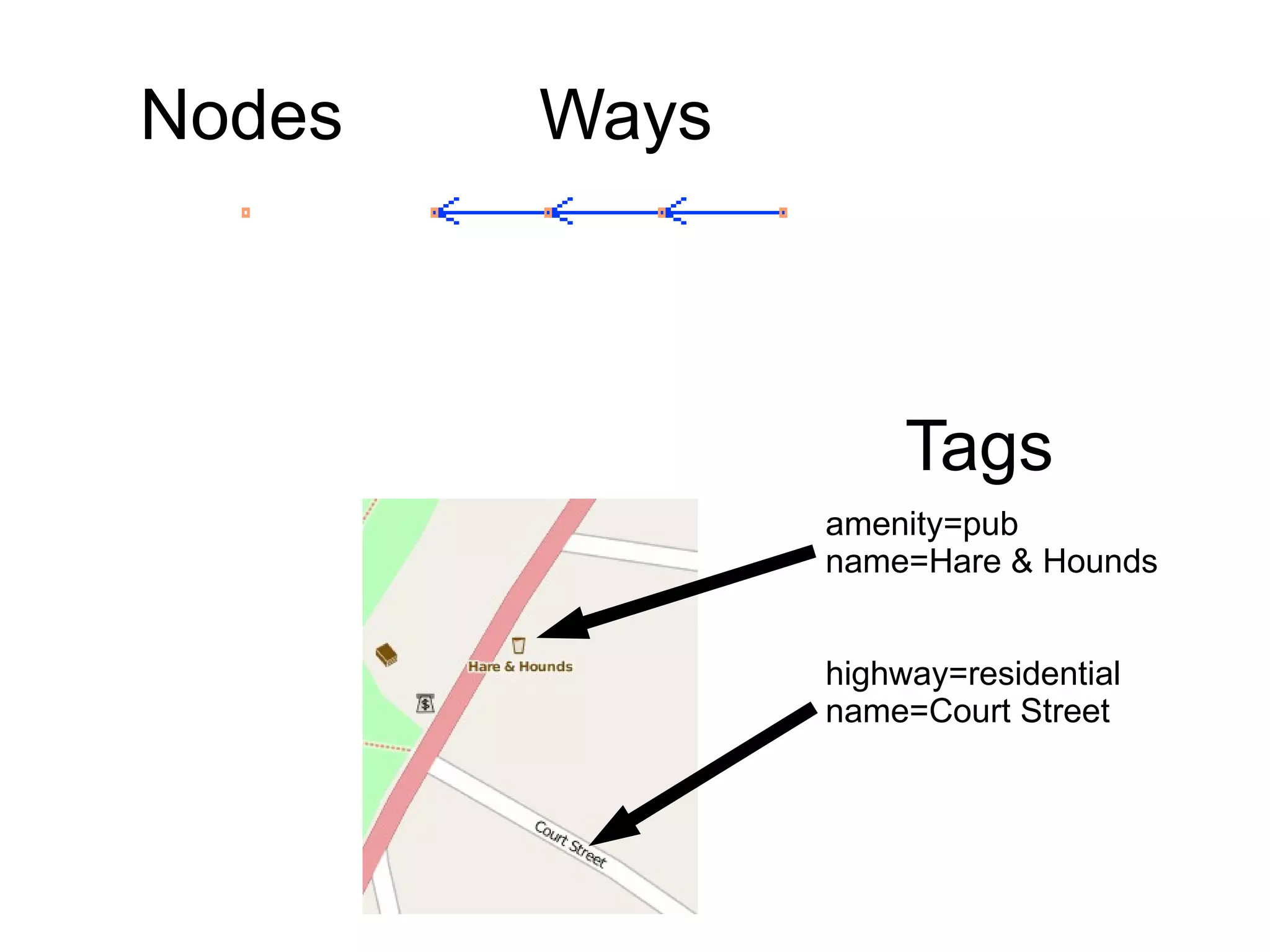
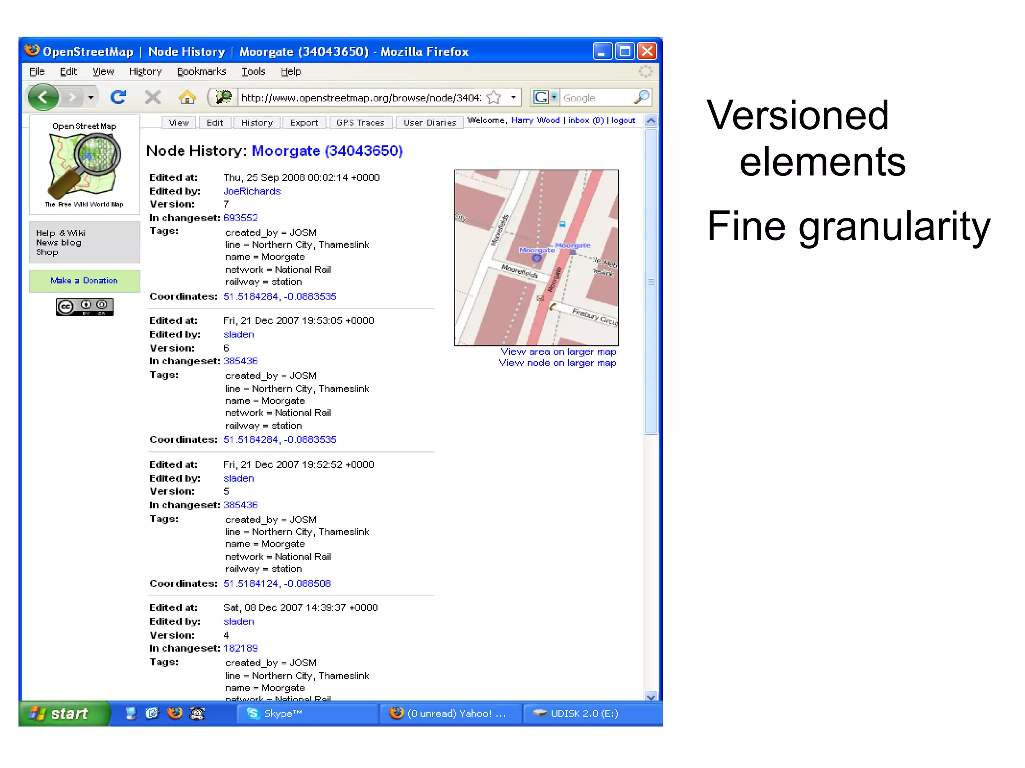
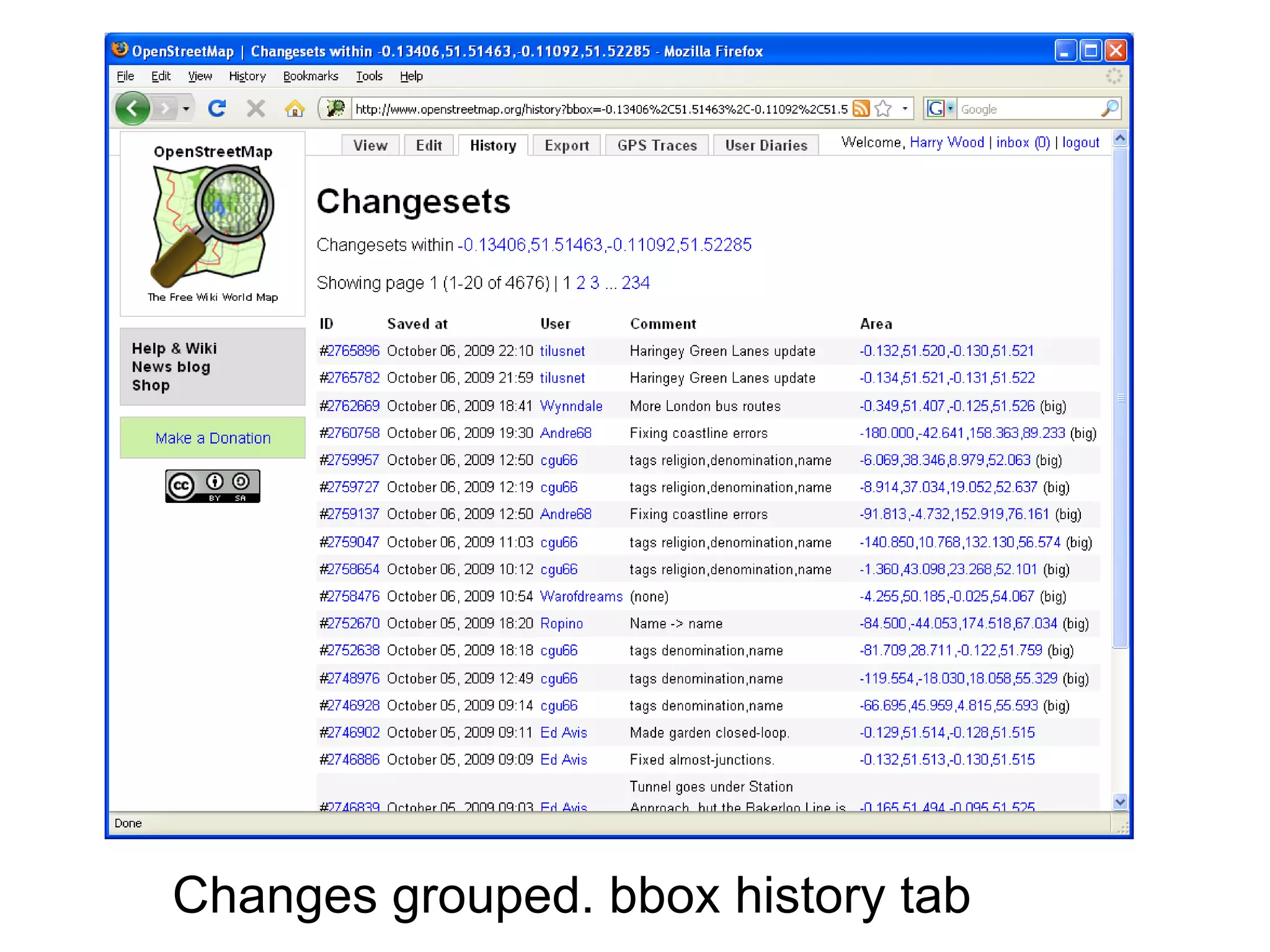
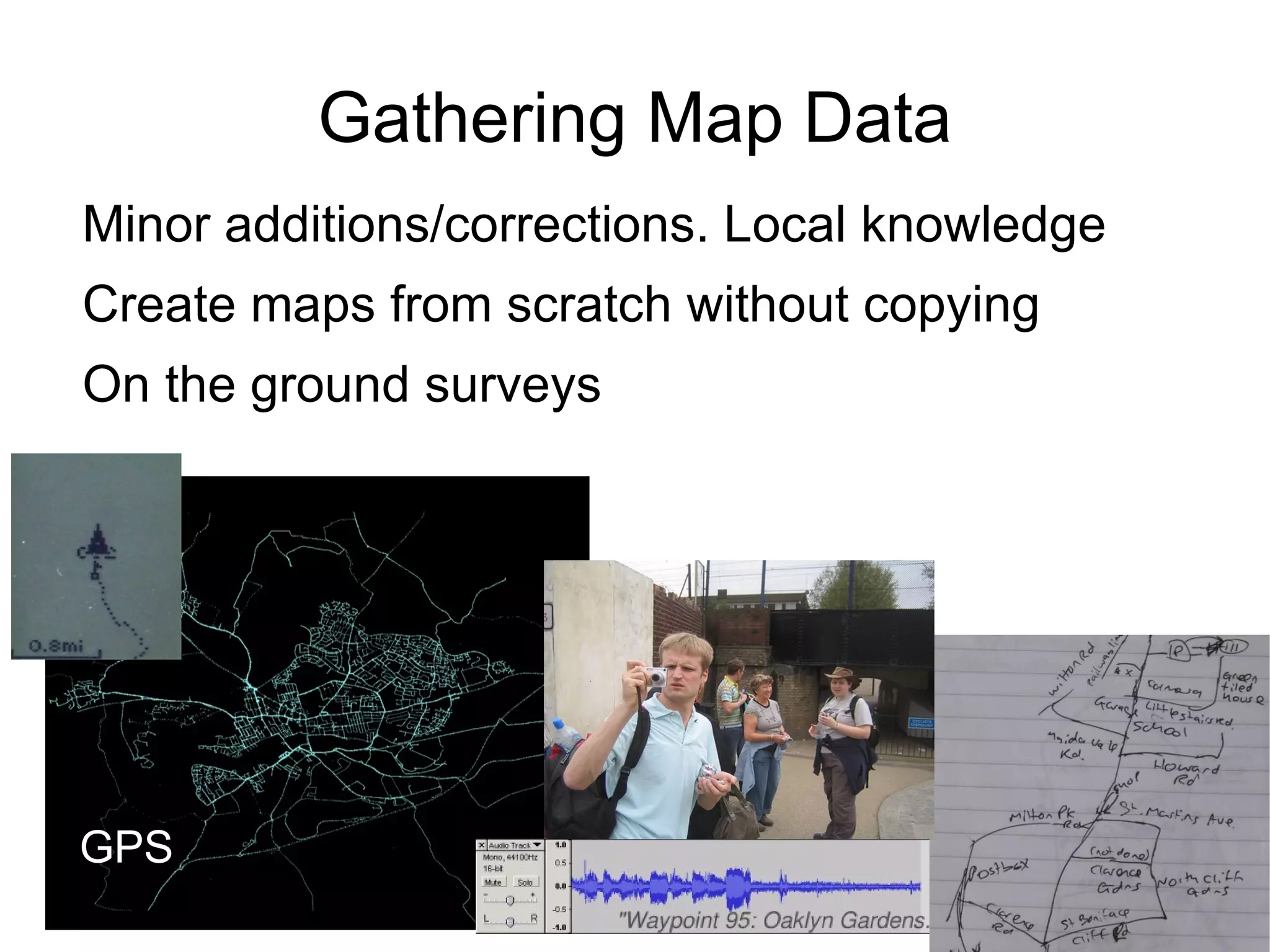
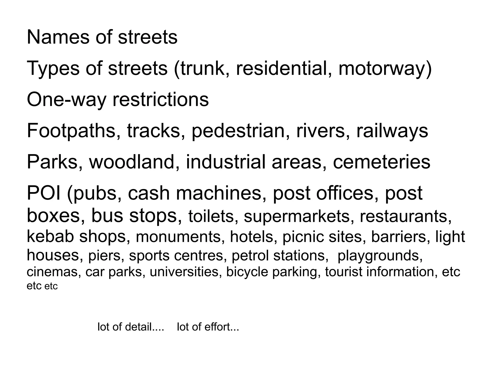
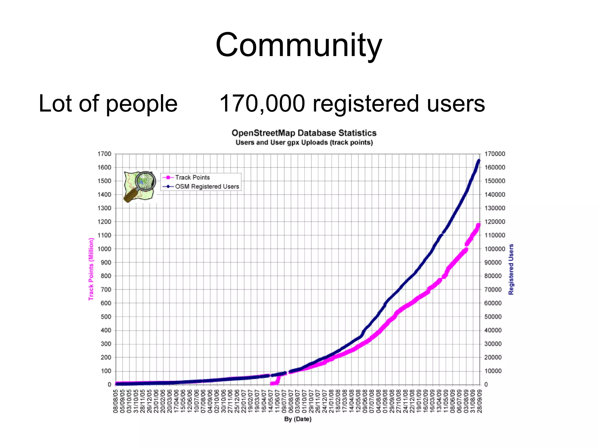
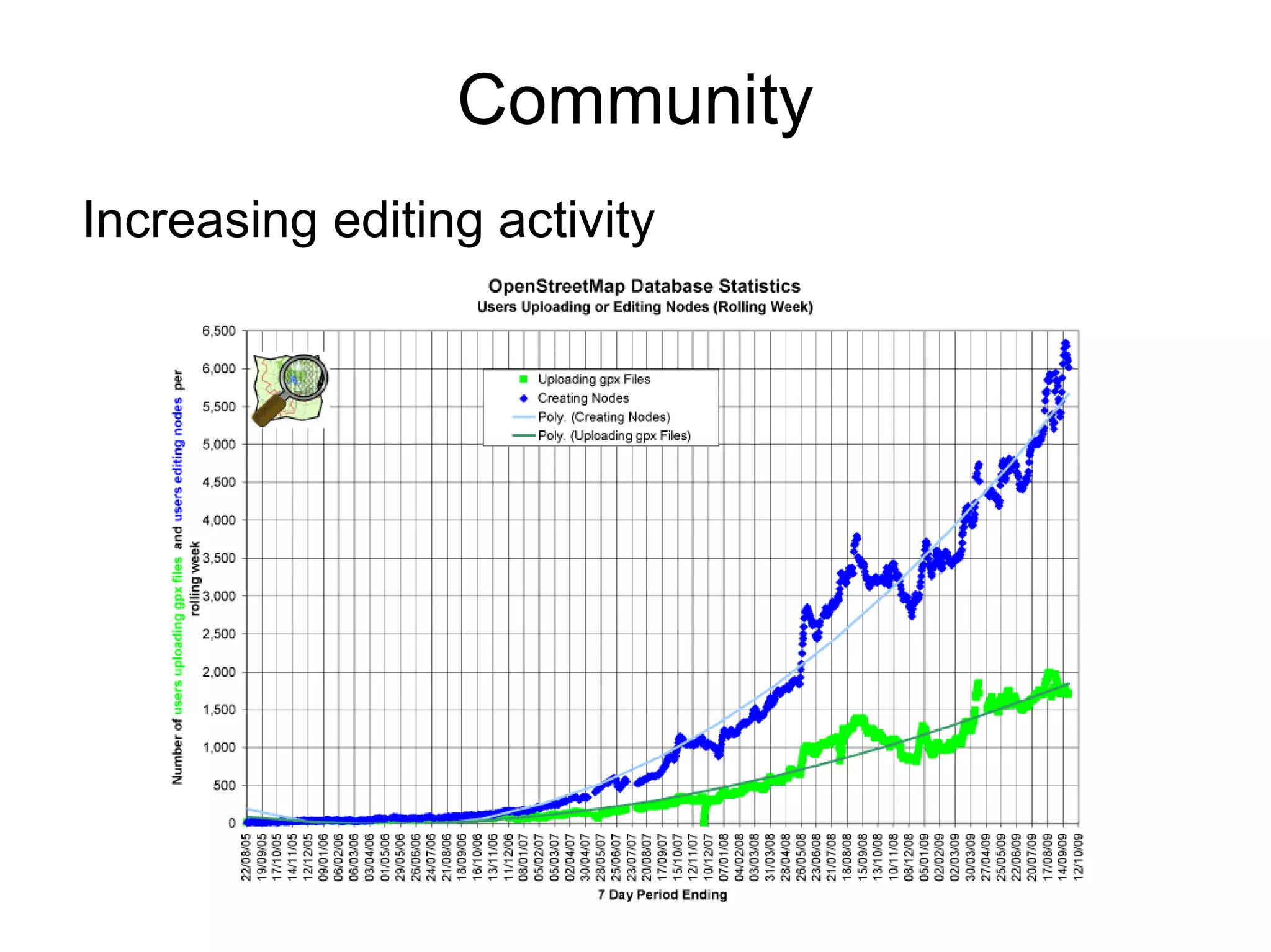

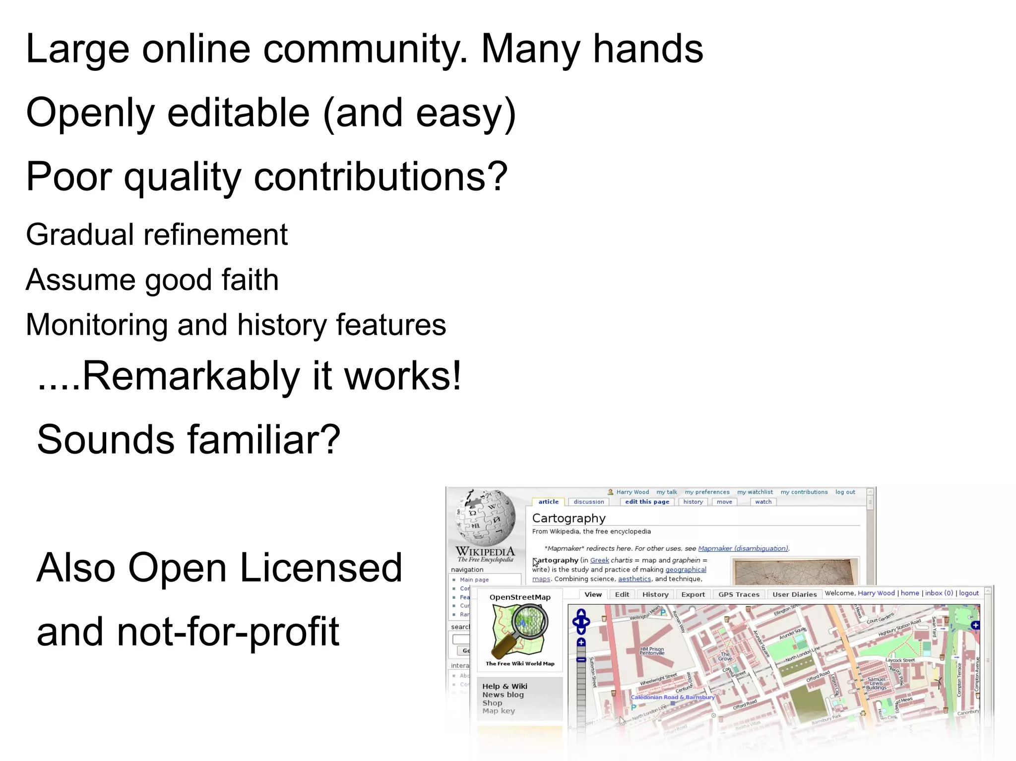
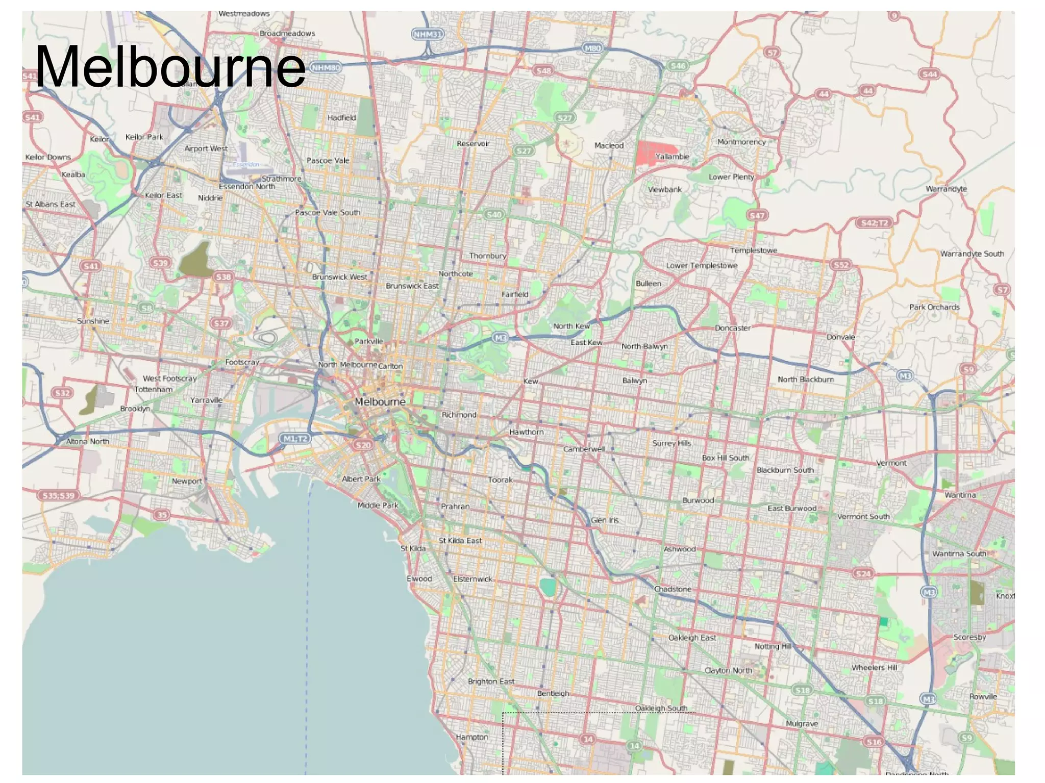
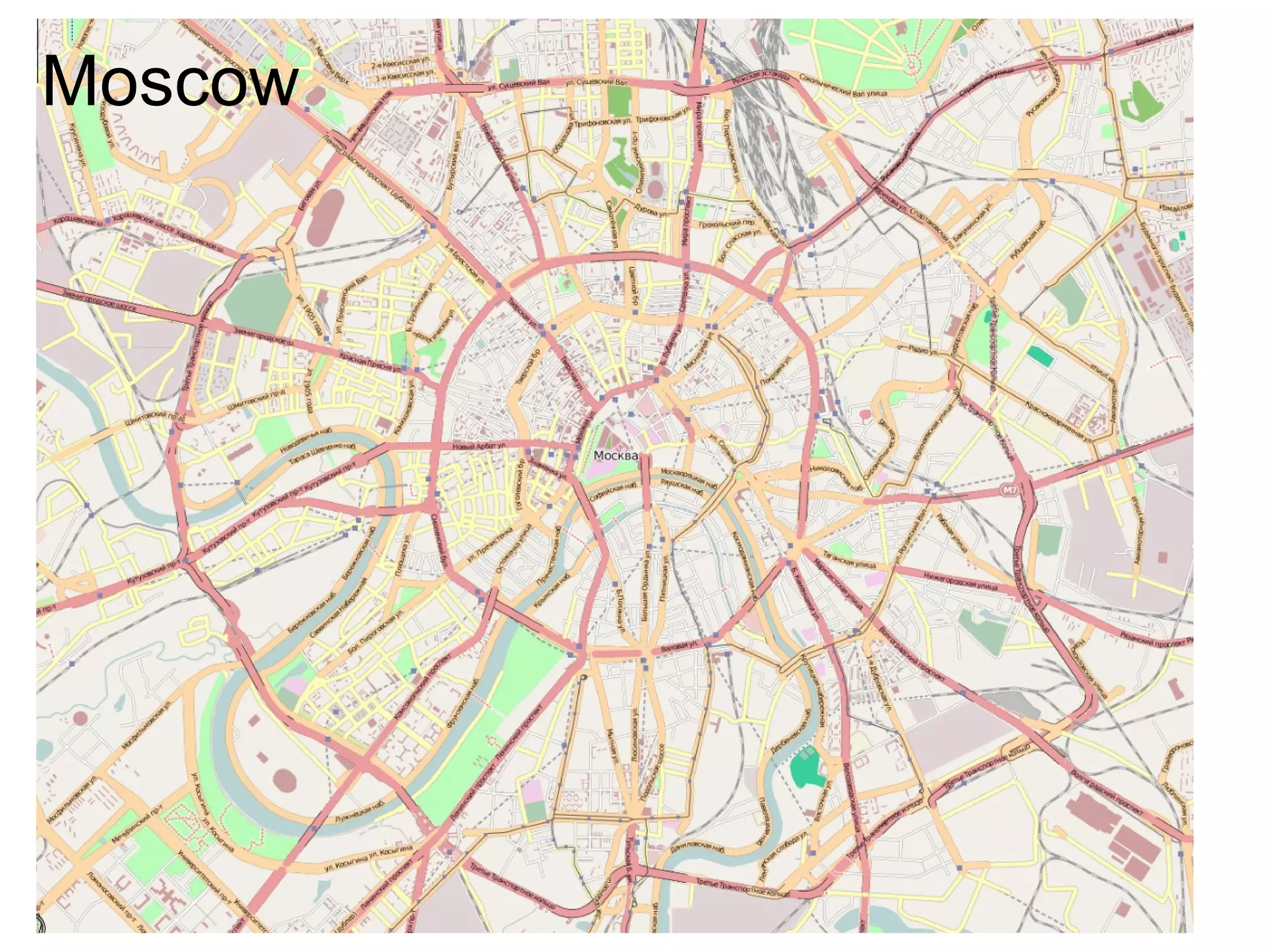
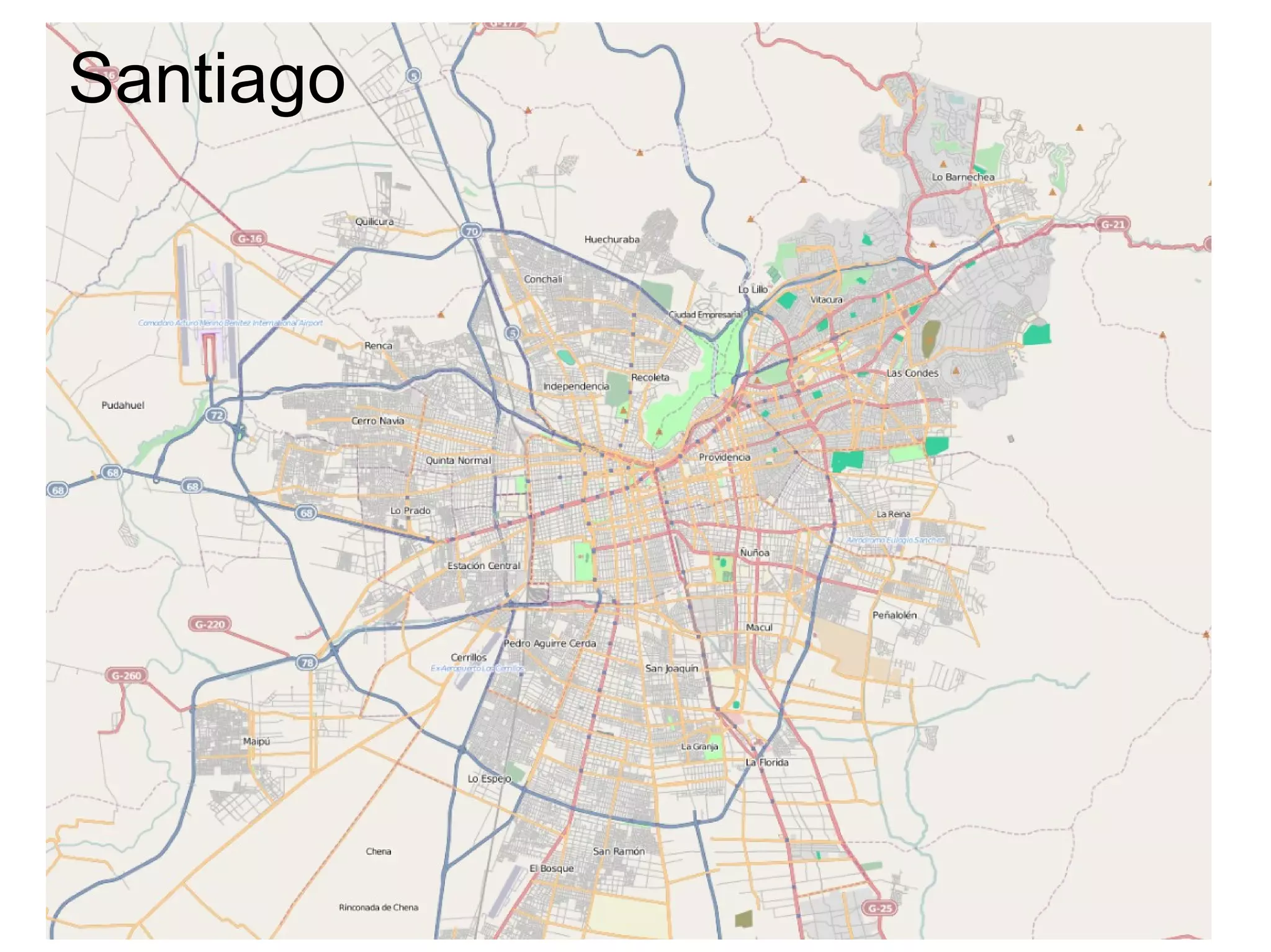
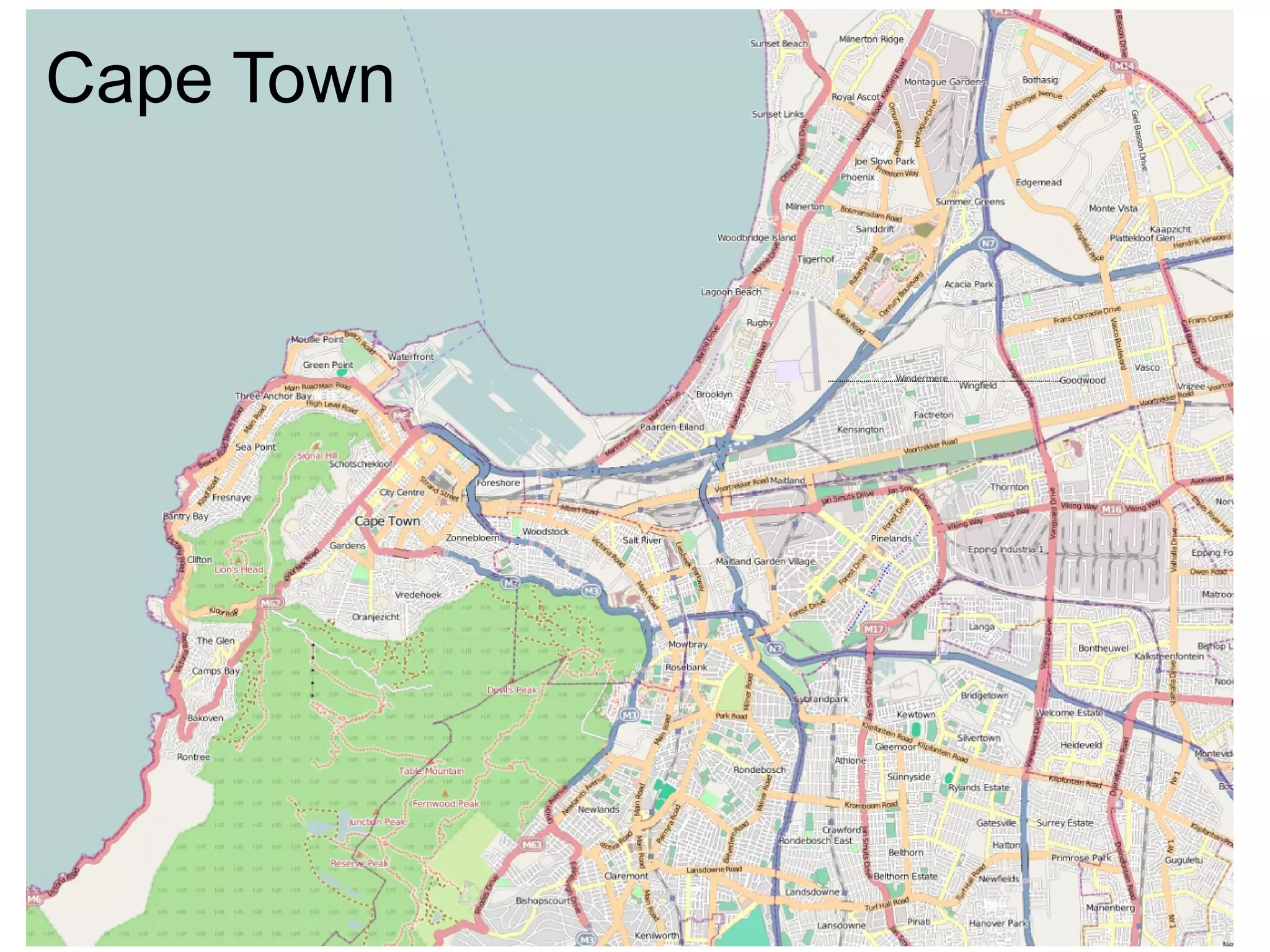
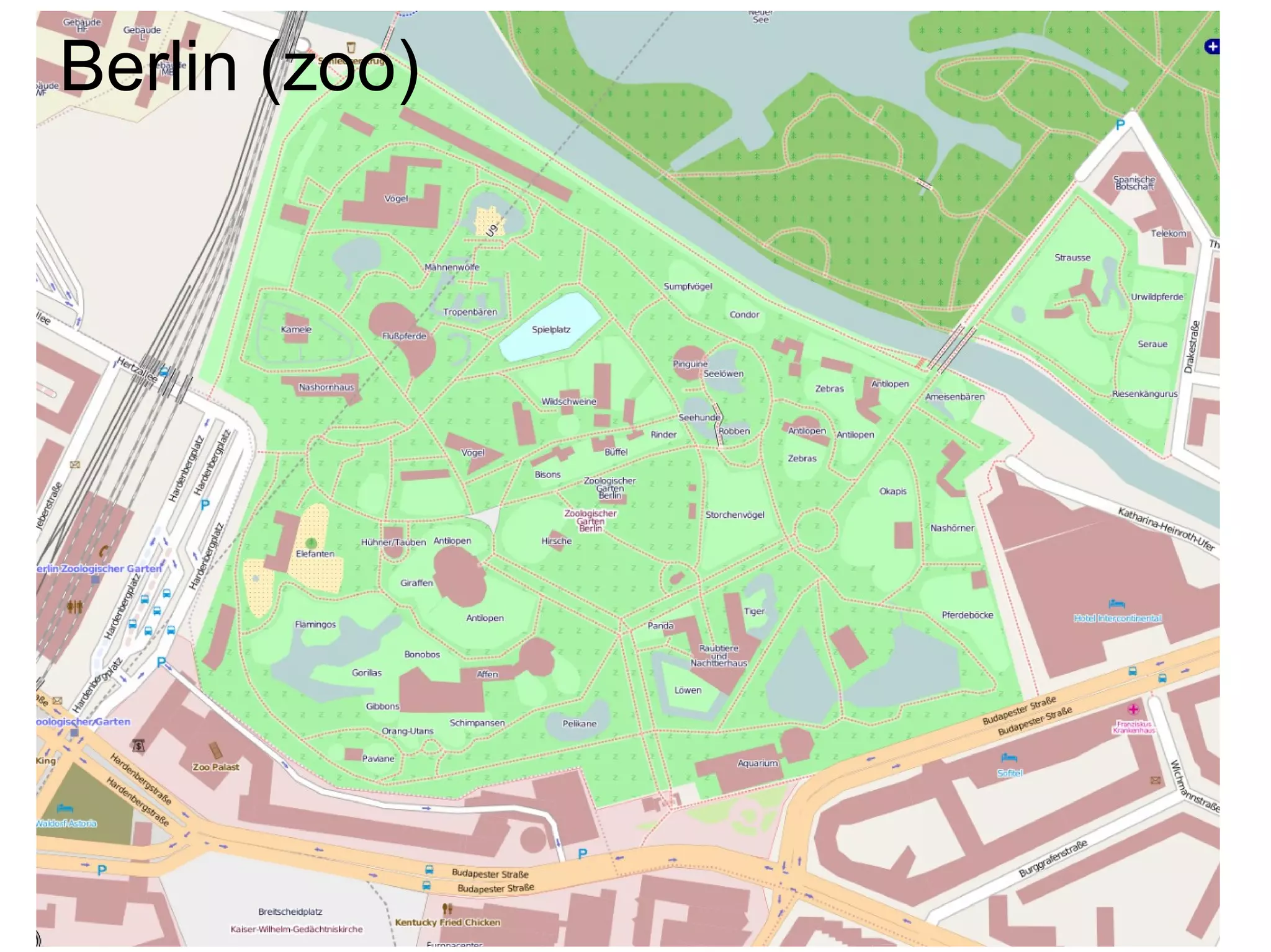
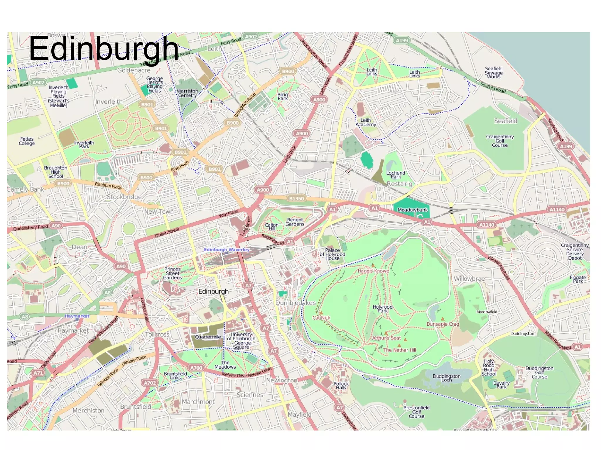
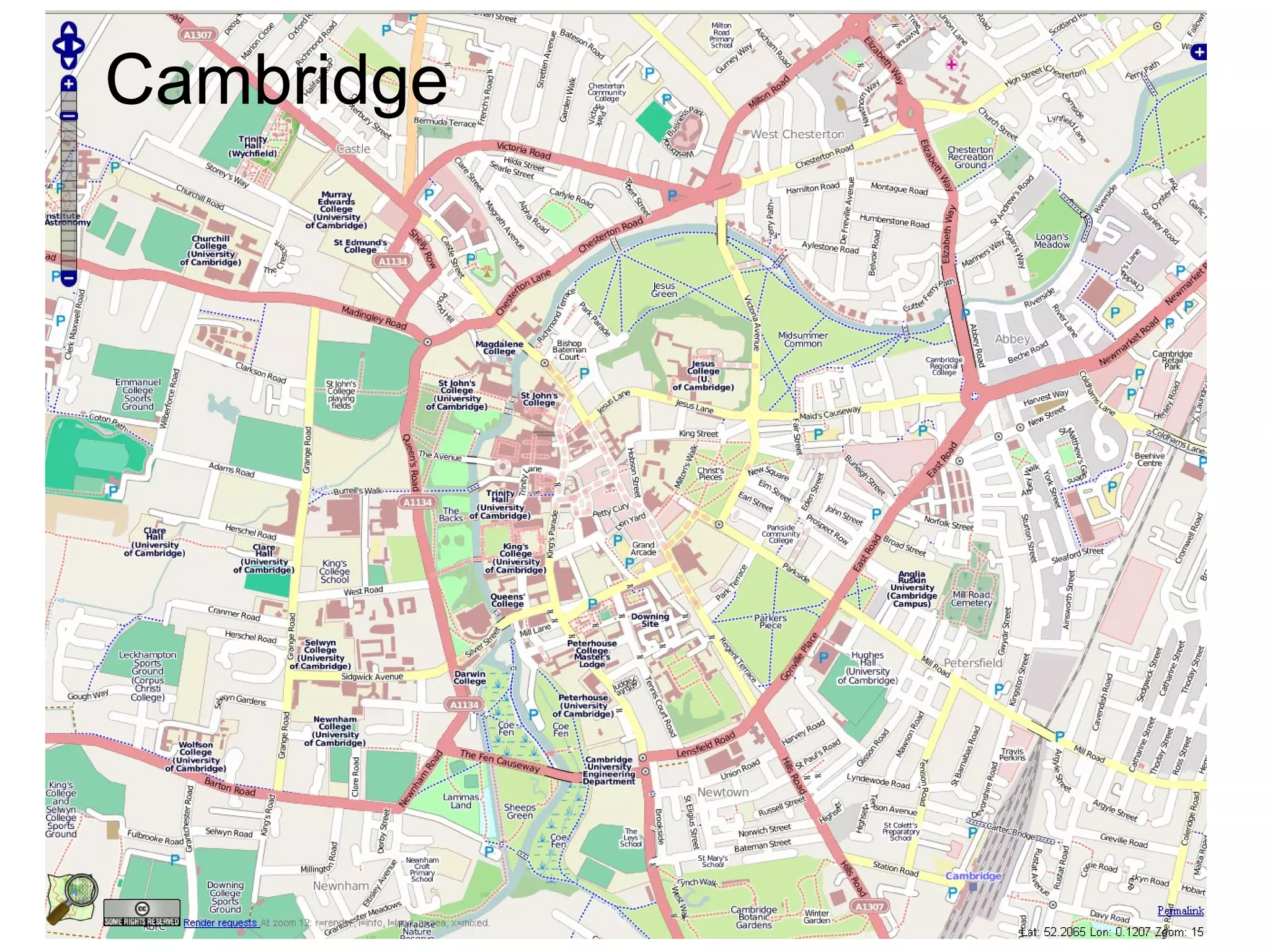
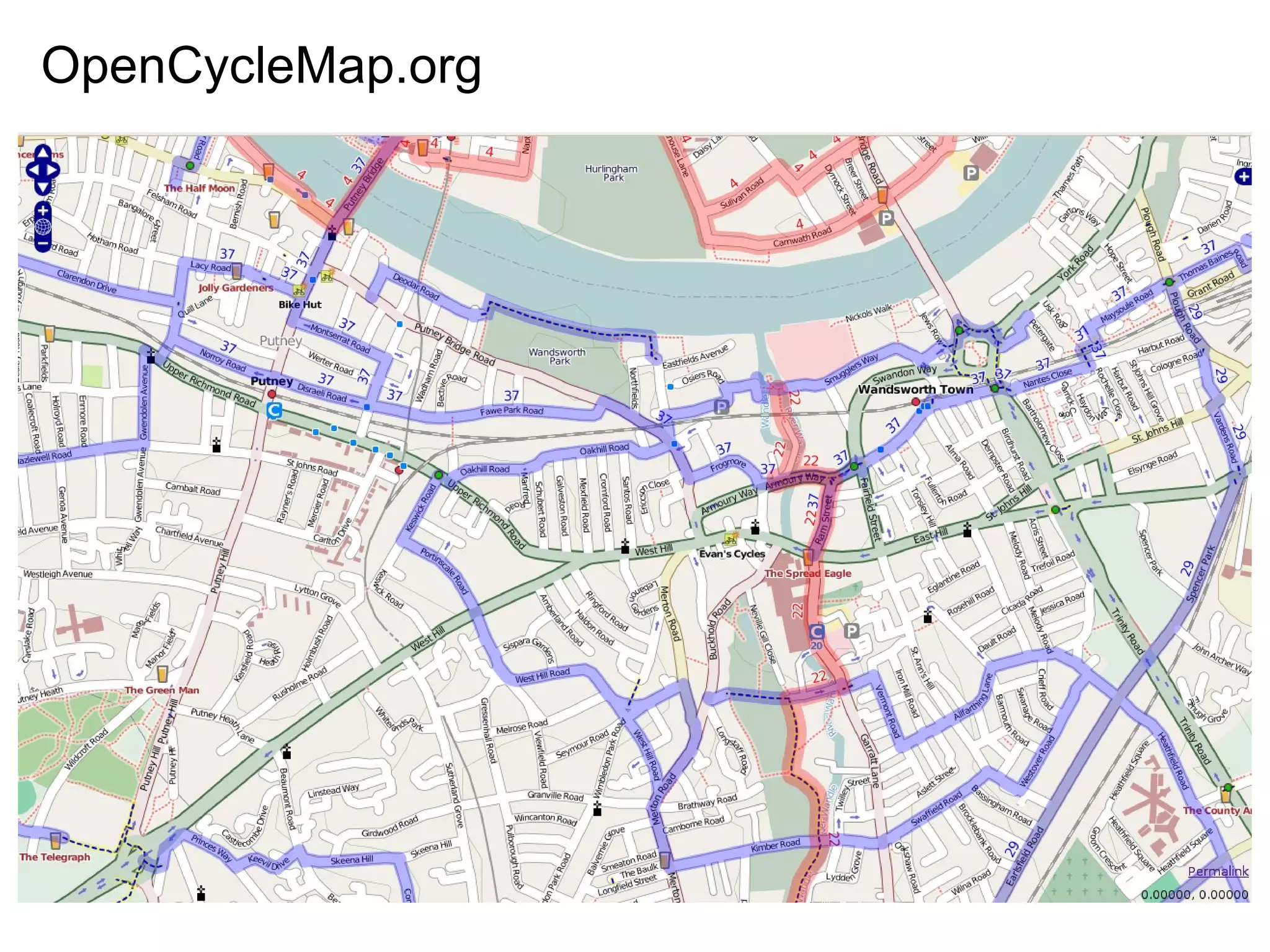
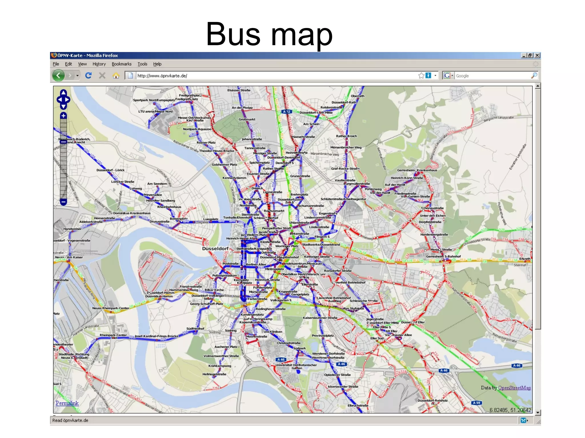
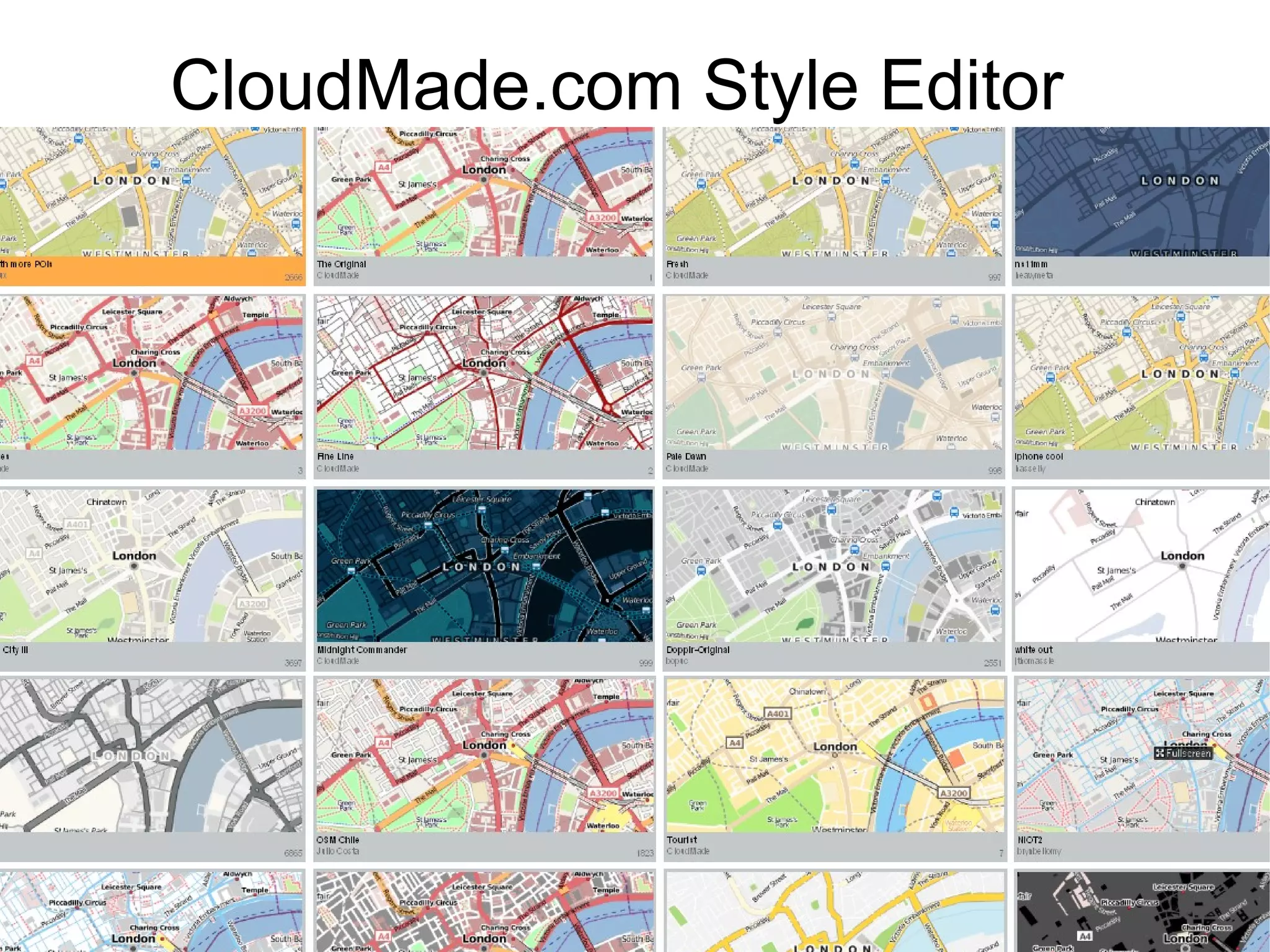
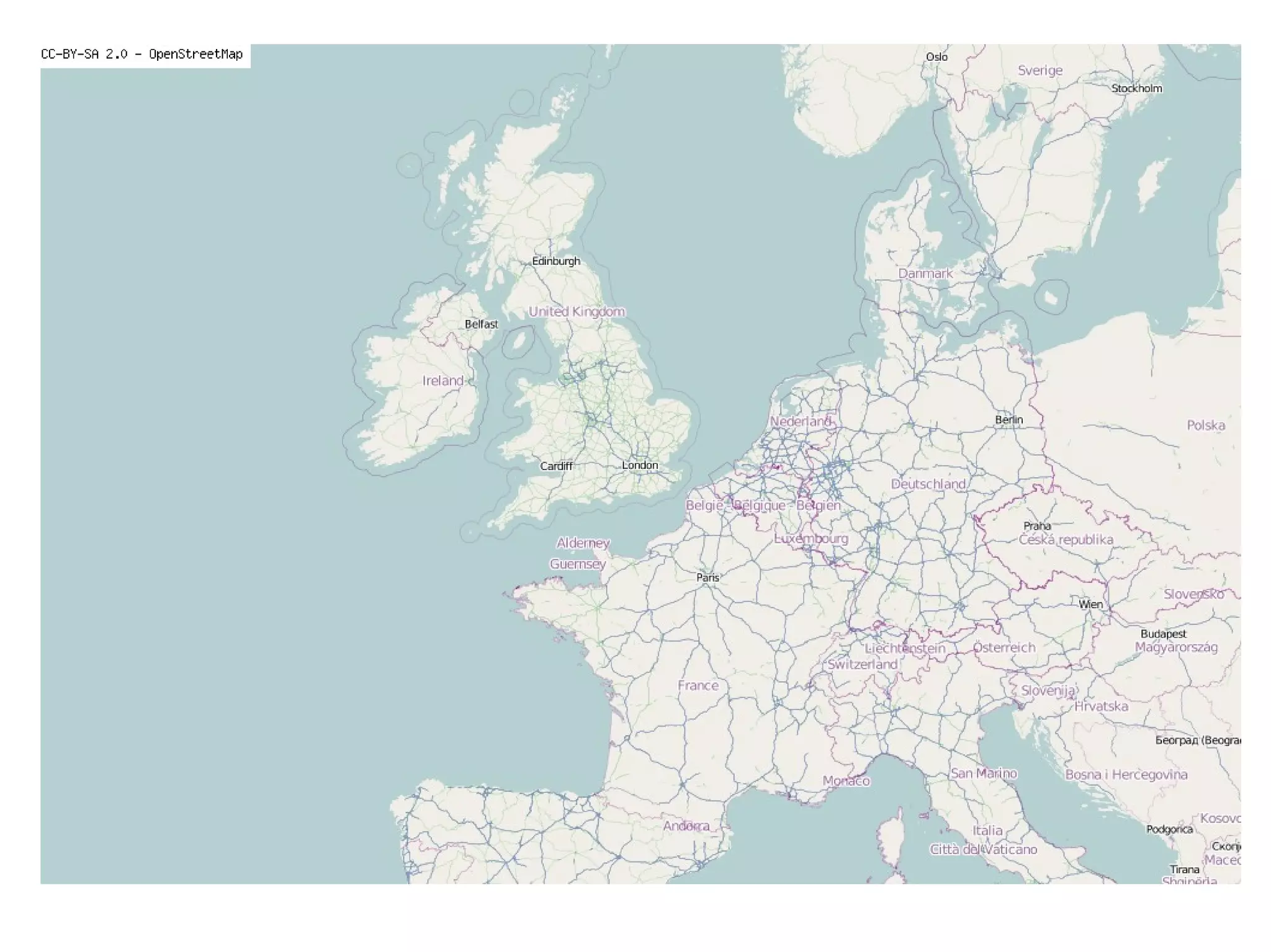
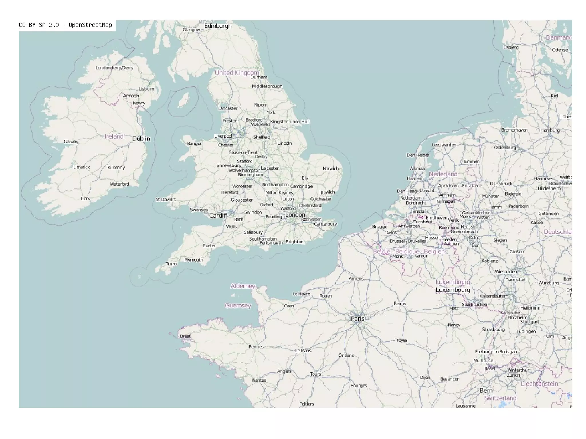
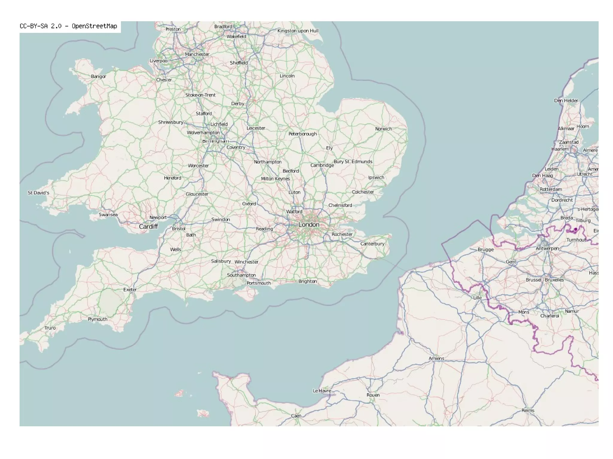
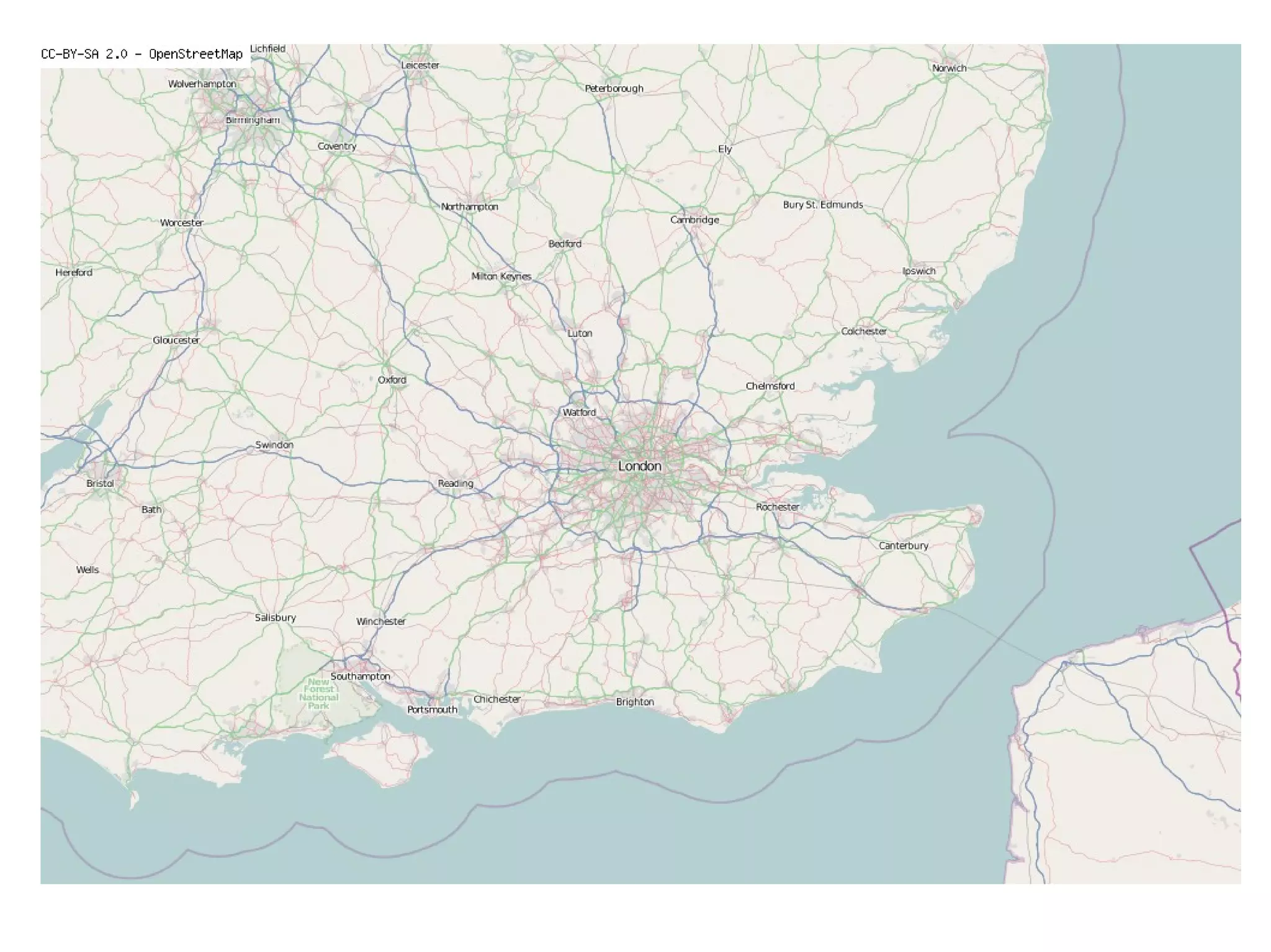
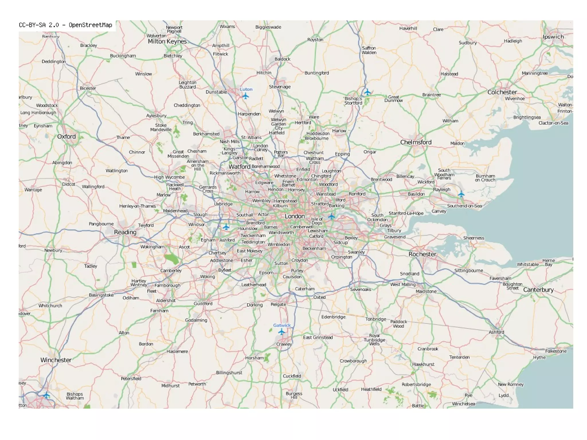
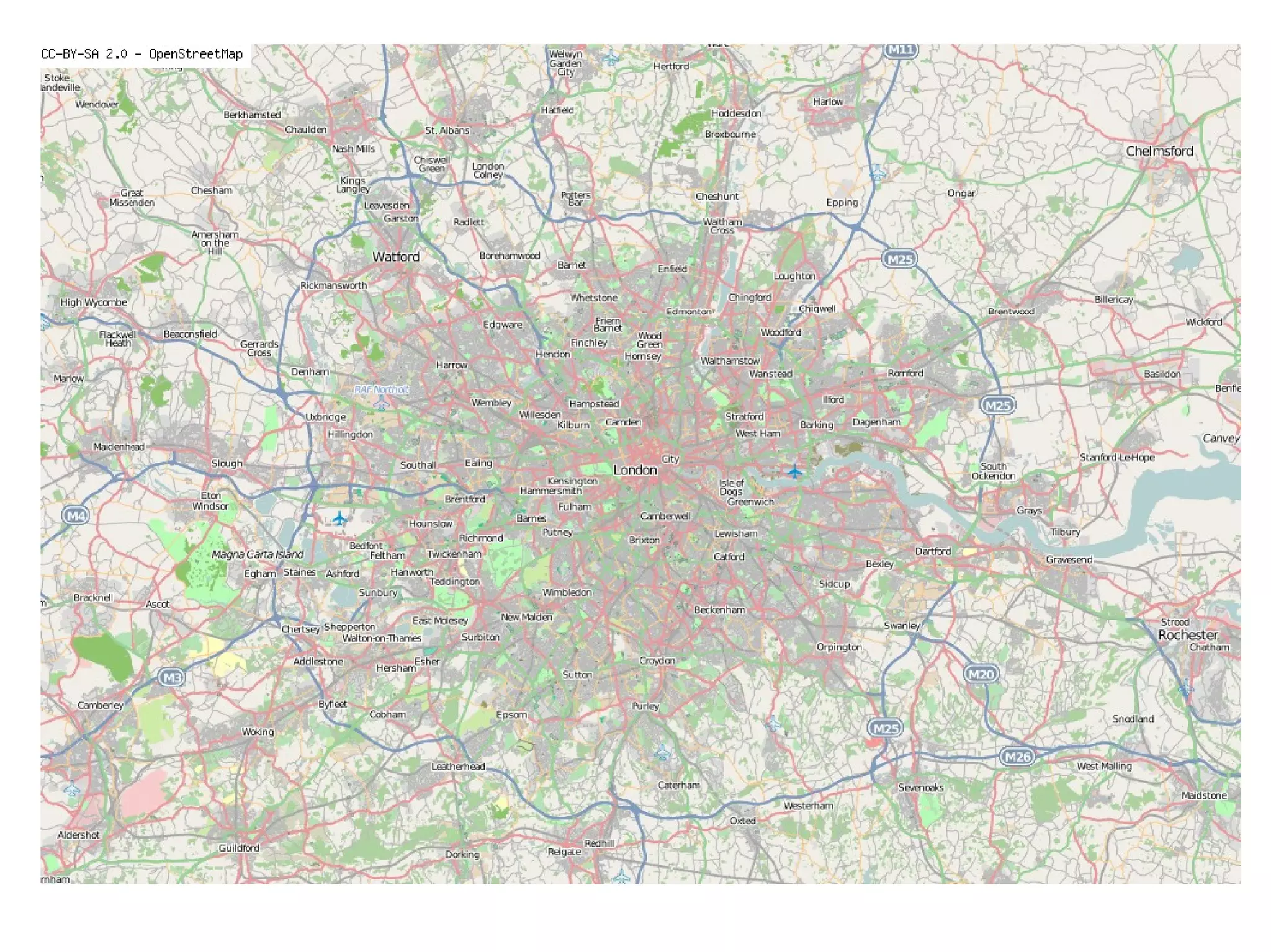
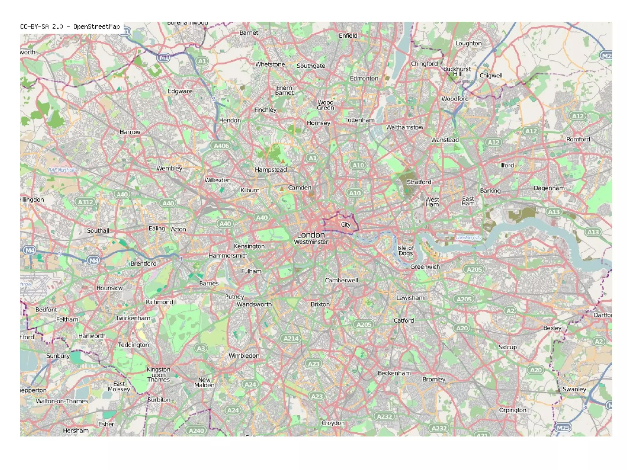
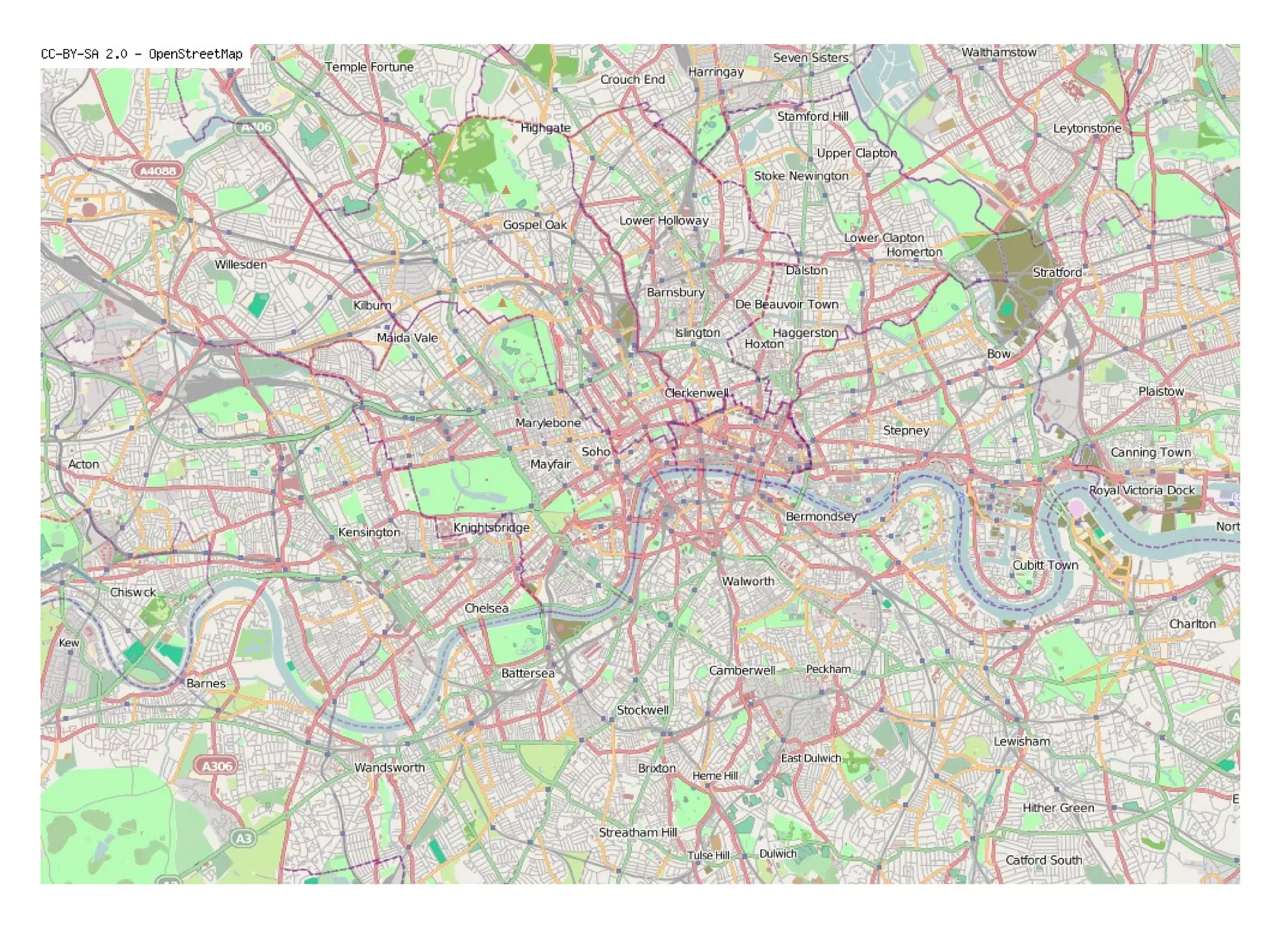
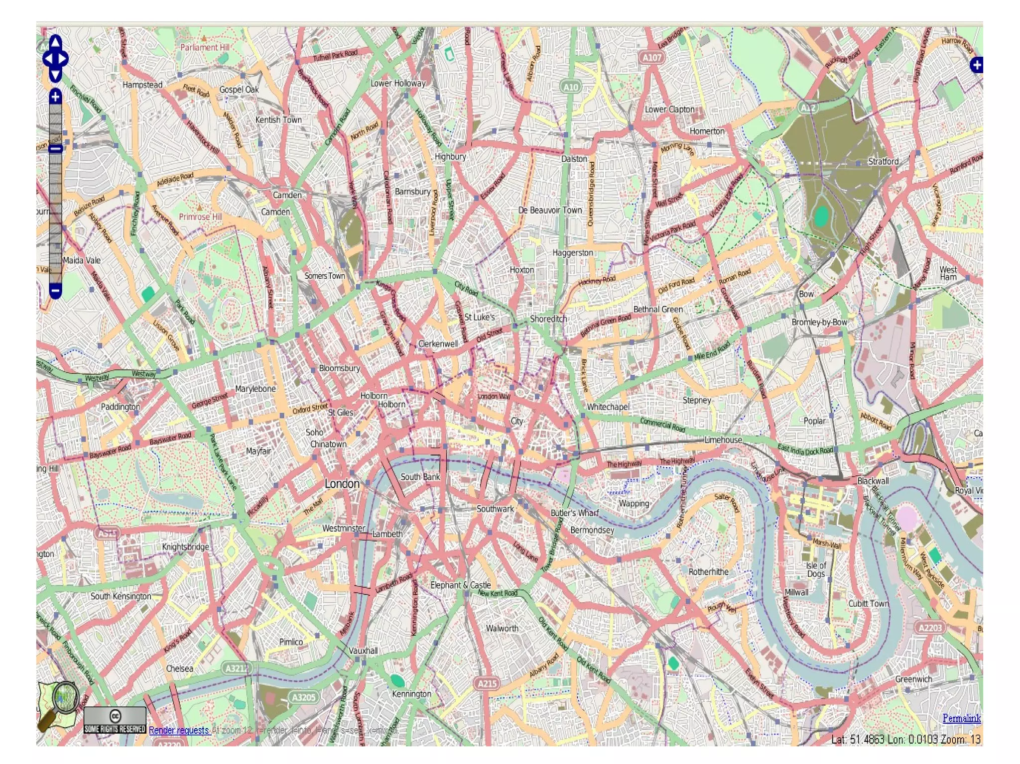
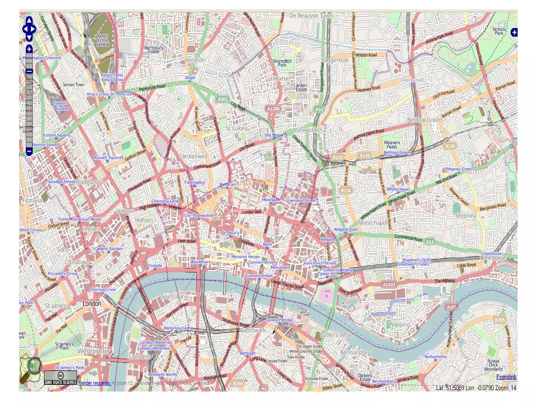
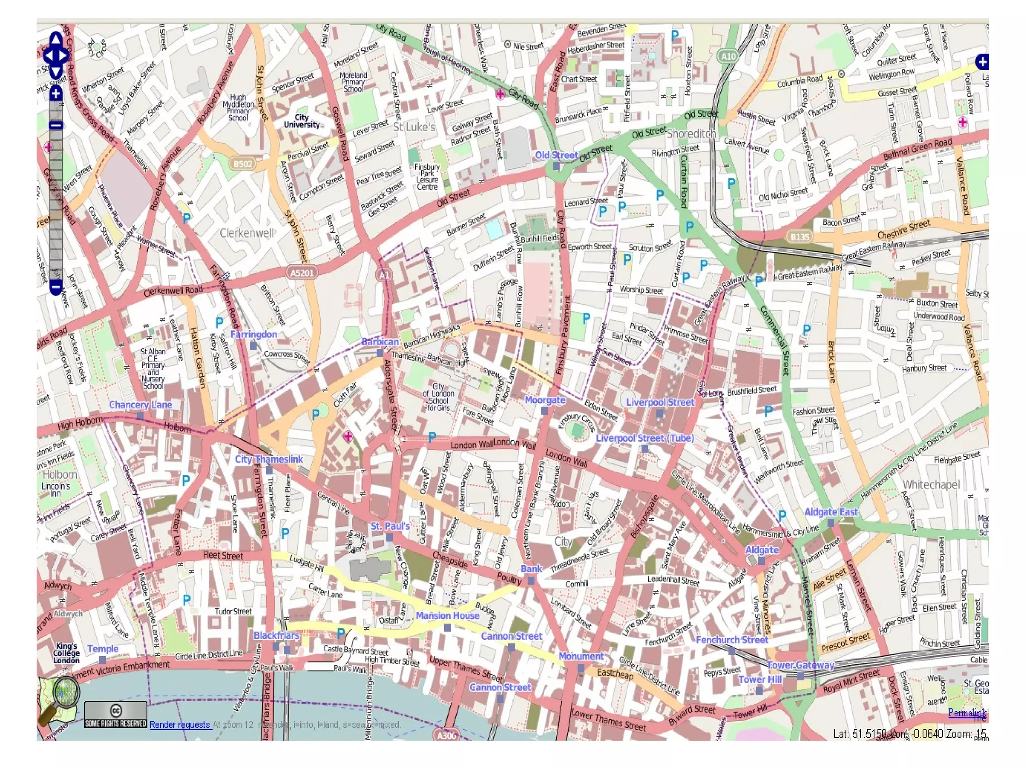
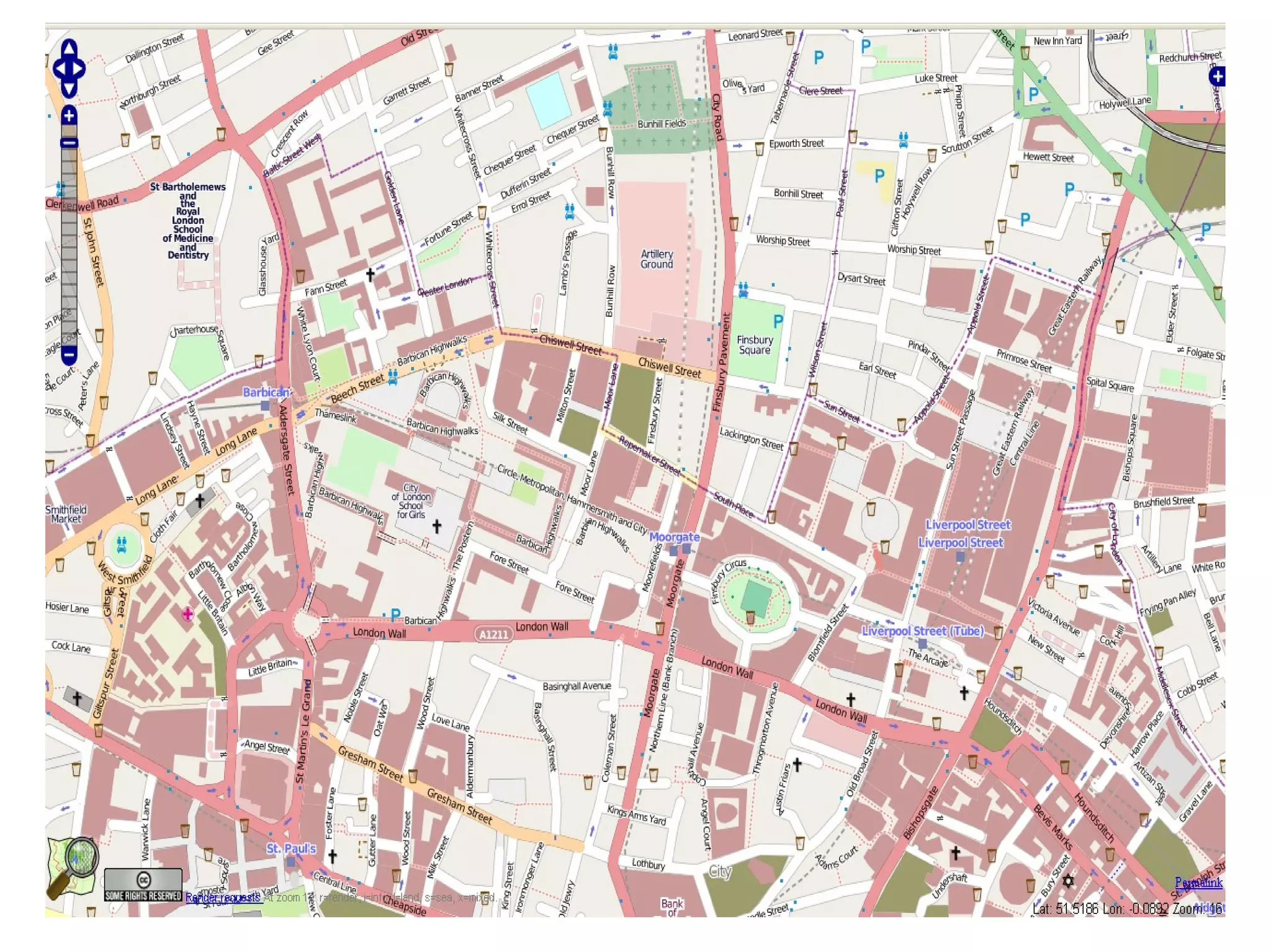
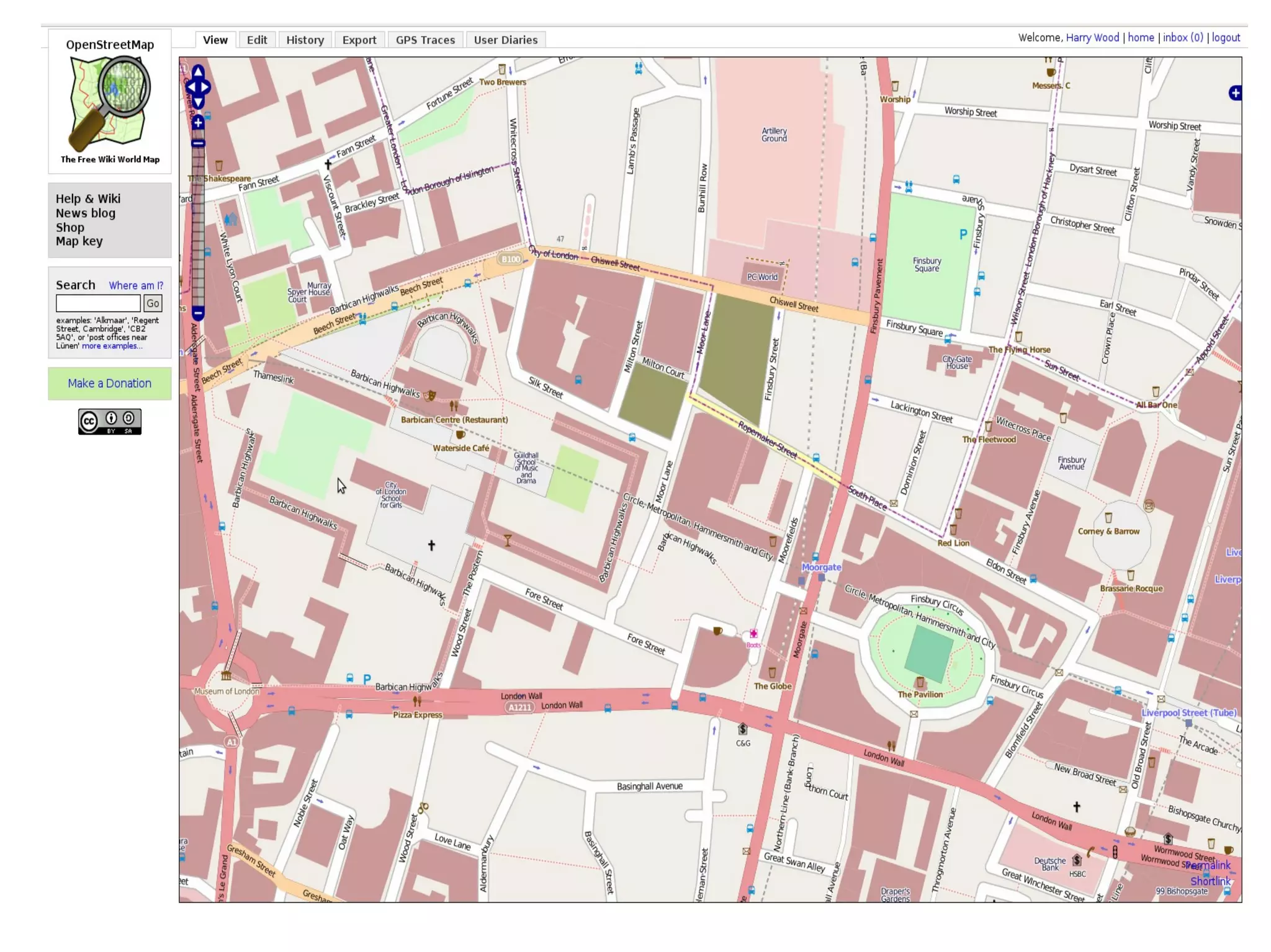
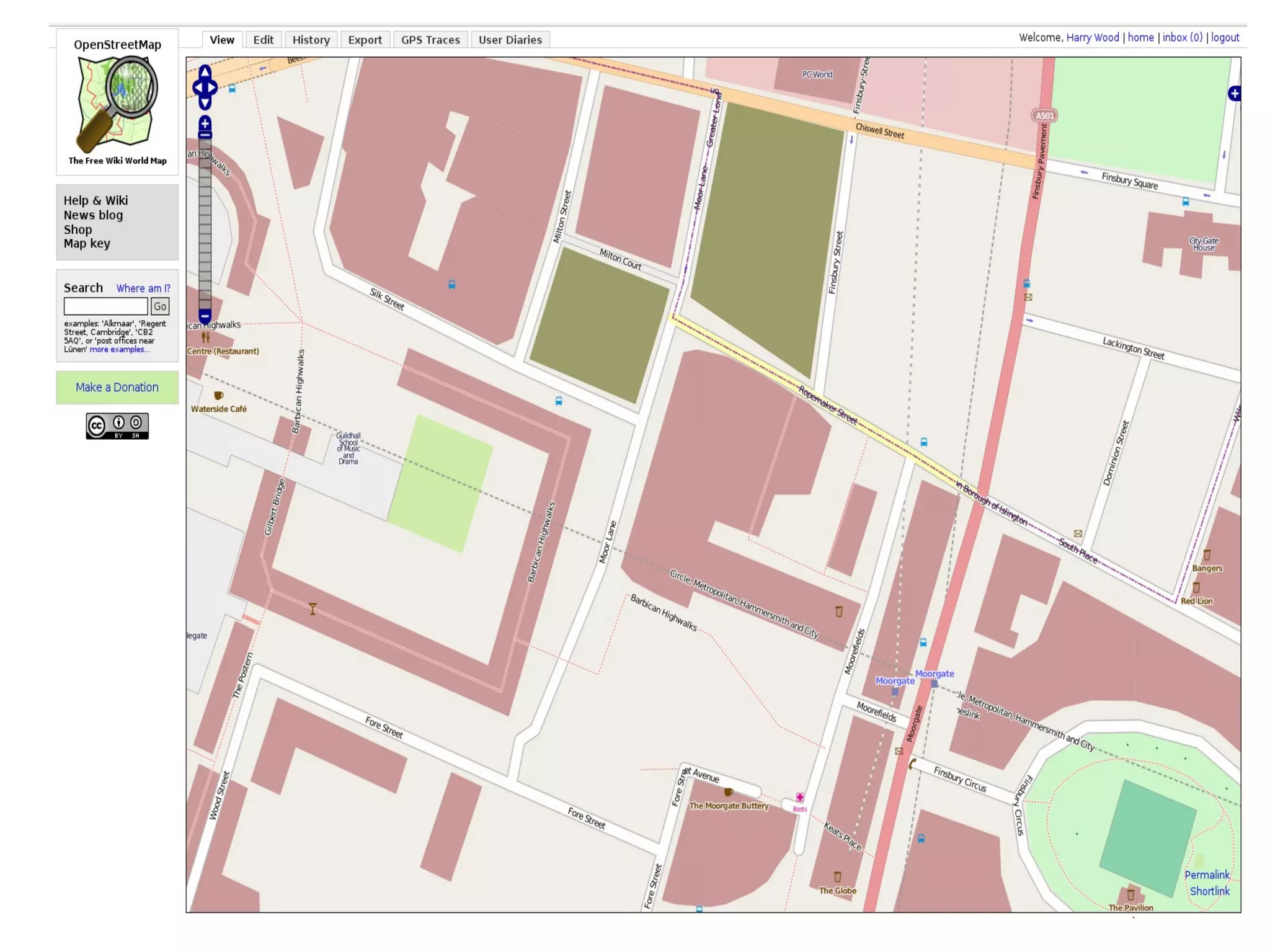

The document discusses OpenStreetMap (OSM) as a collaborative mapping platform where users can read and write to its XML API, creating detailed maps by contributing local knowledge and editing existing data. With around 170,000 registered users, OSM promotes an open-licensed model that allows for free use and redistribution of its data, distinguishing itself from traditional commercial maps. The author's experience within the OSM community highlights the platform's success and the ongoing efforts to maintain quality contributions and community engagement.


![Vibe Coding vs. Spec-Driven Development [Free Meetup]](https://cdn.slidesharecdn.com/ss_thumbnails/vibecodingvsspecdrivendevelopment-251209105622-43f455e7-thumbnail.jpg?width=640&height=640&fit=bounds)


