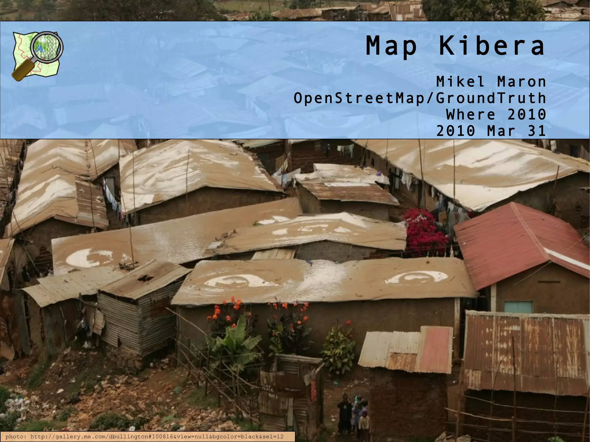
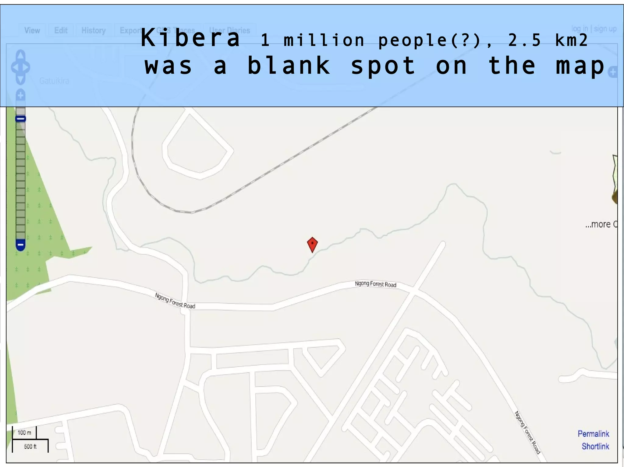
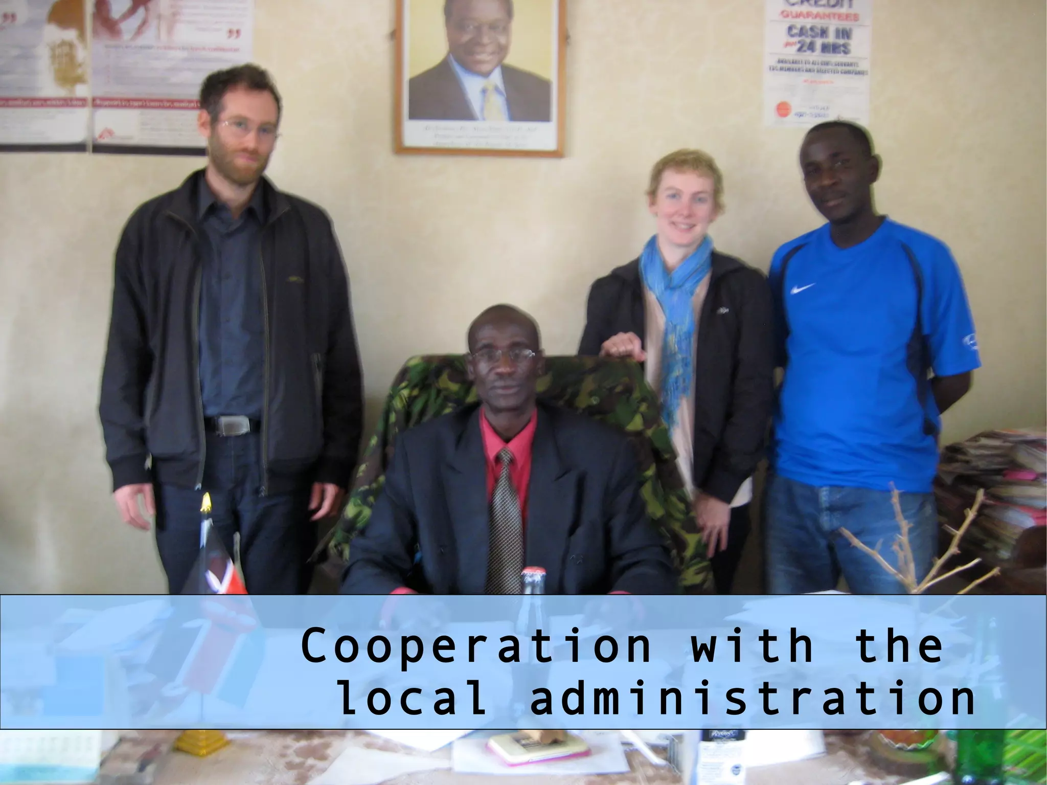
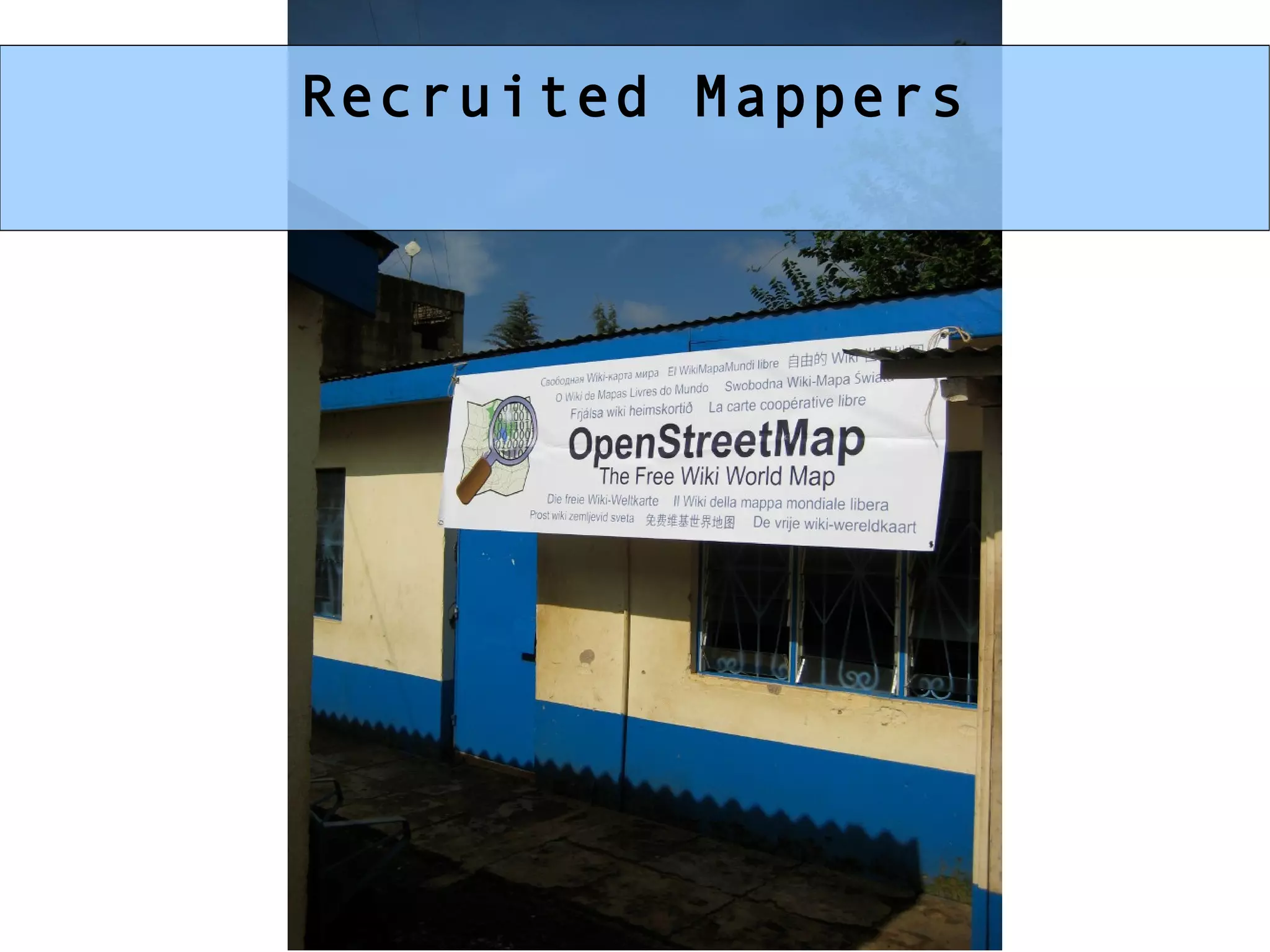
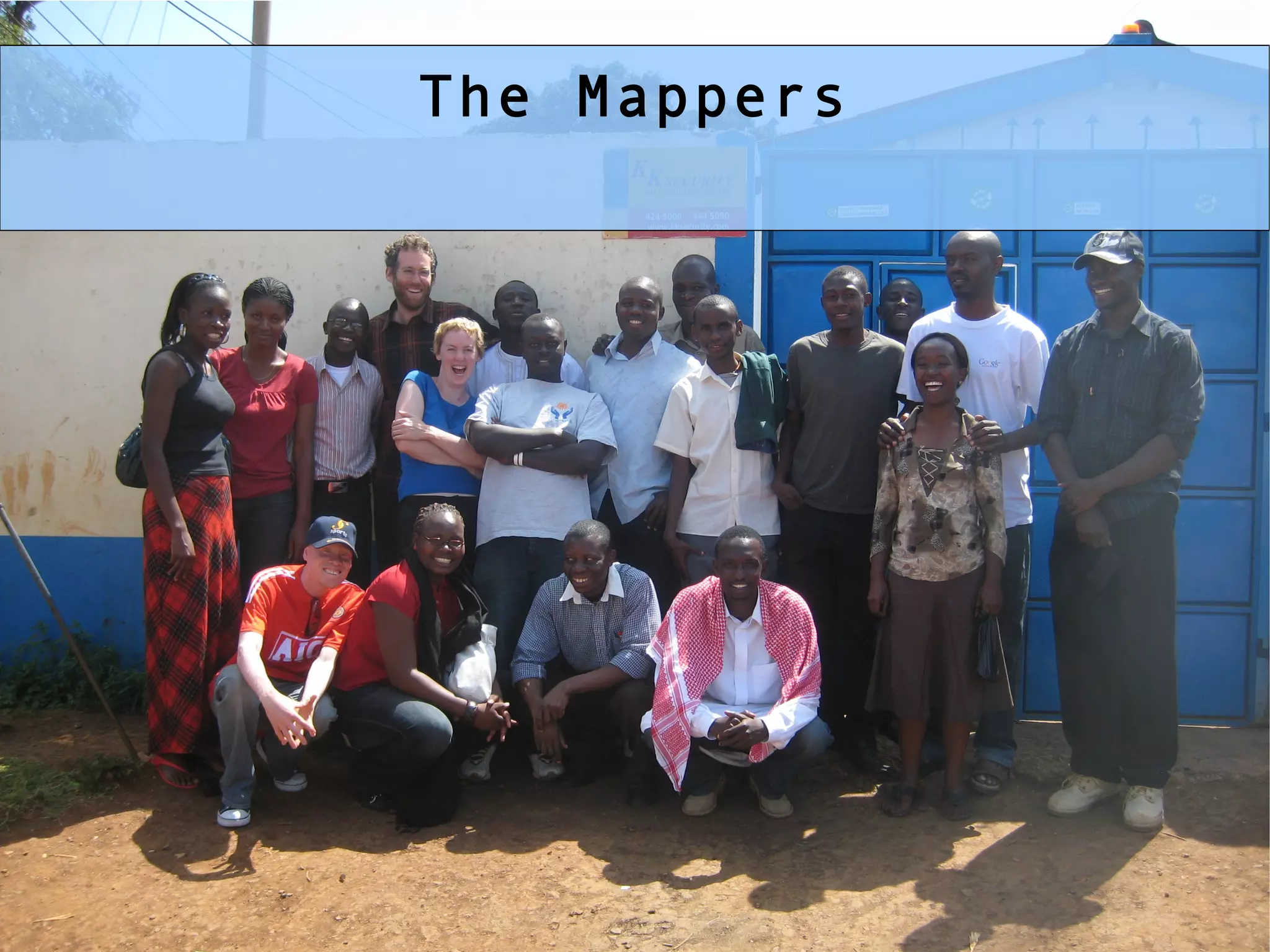
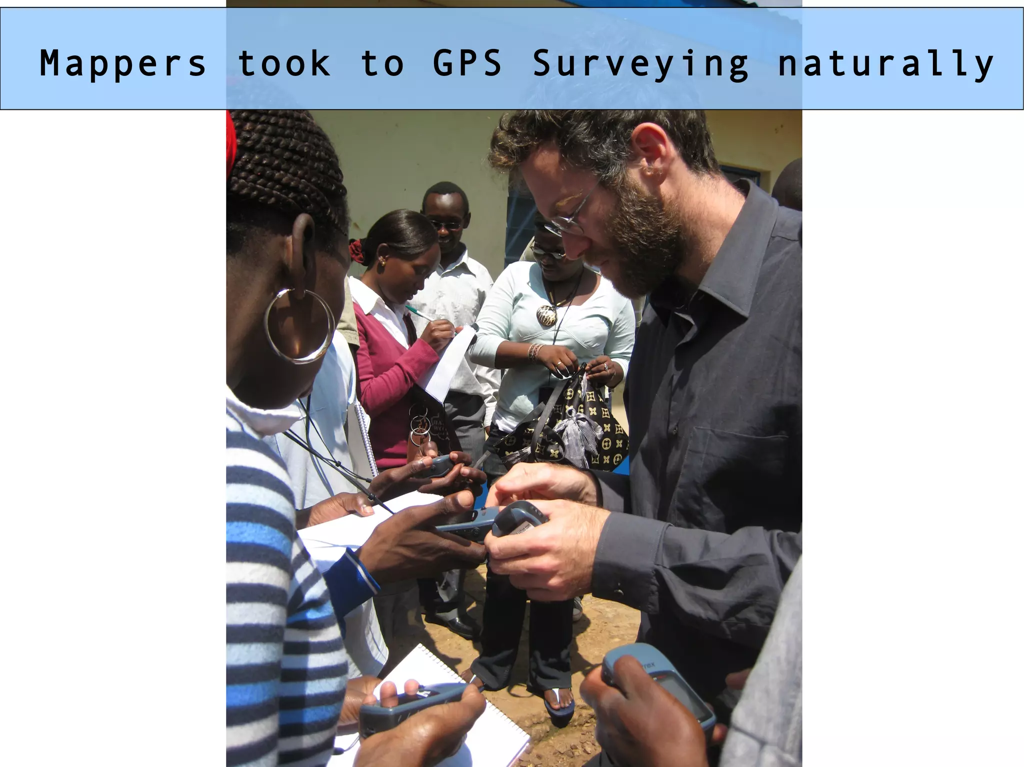
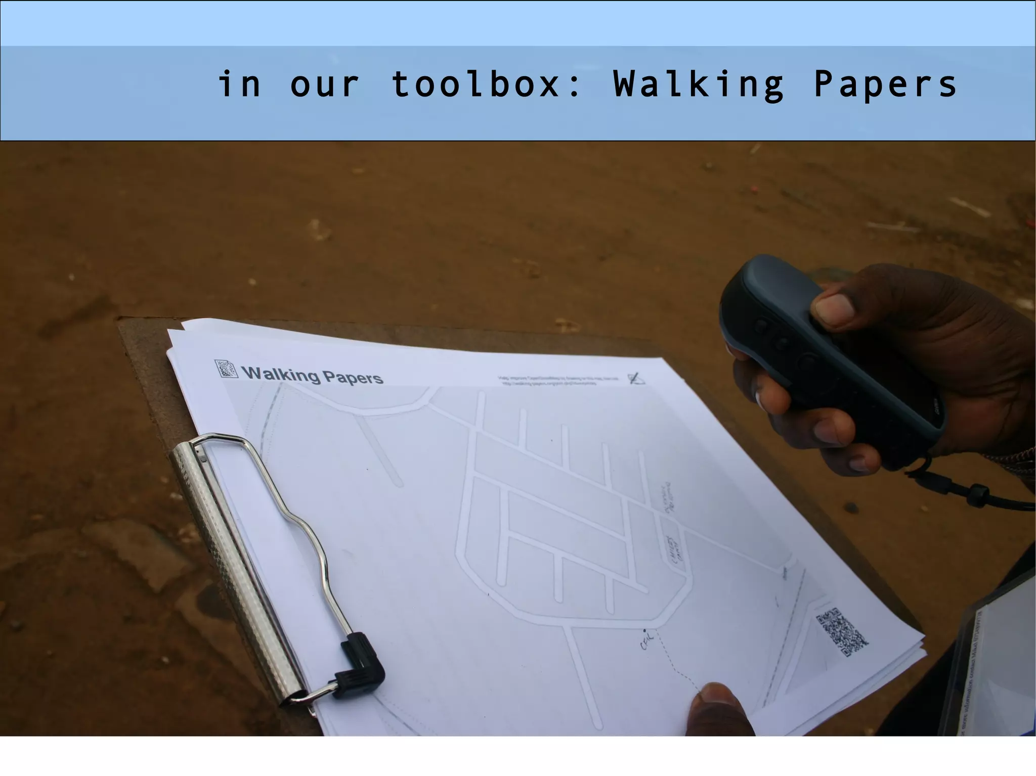
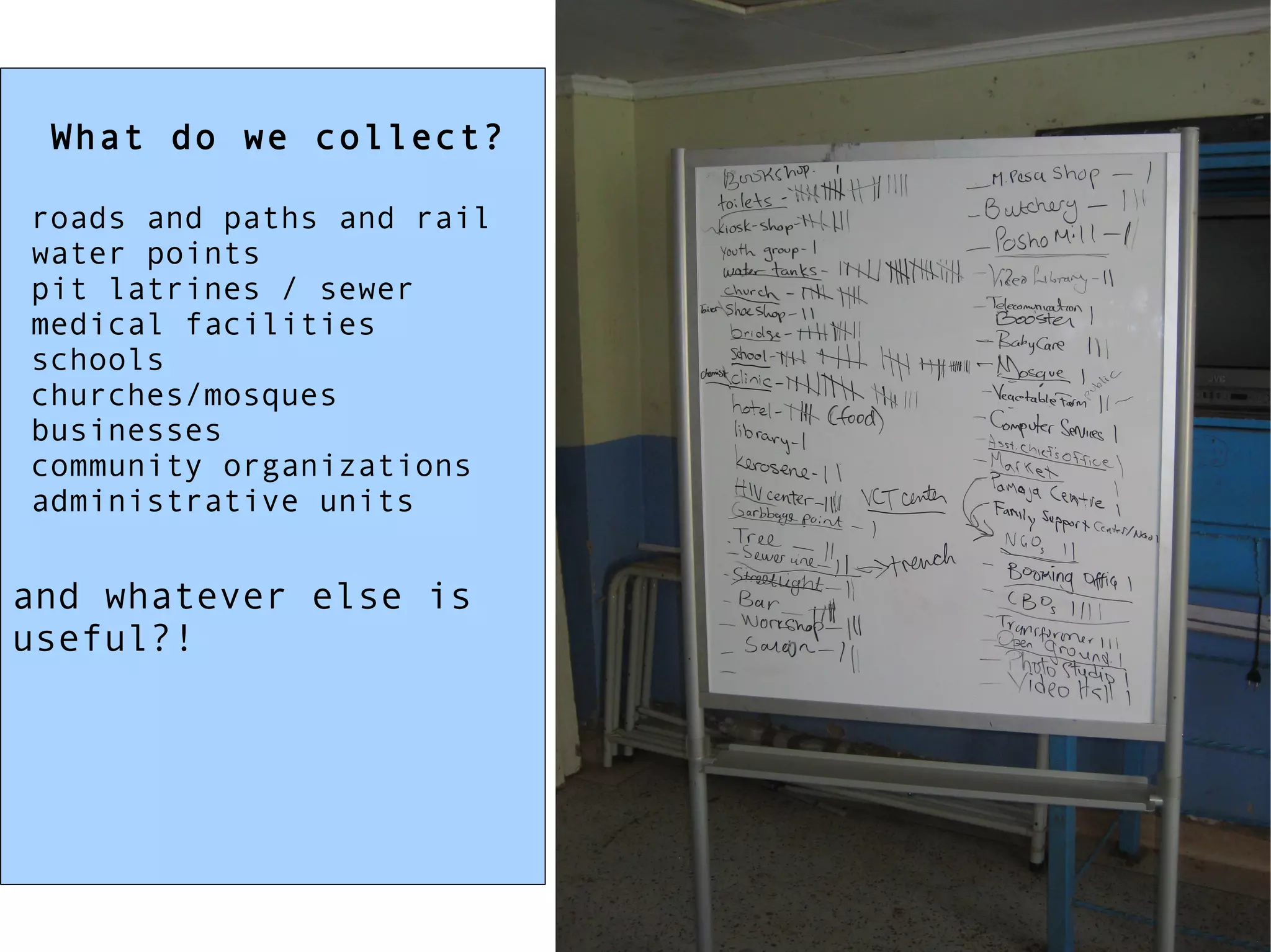
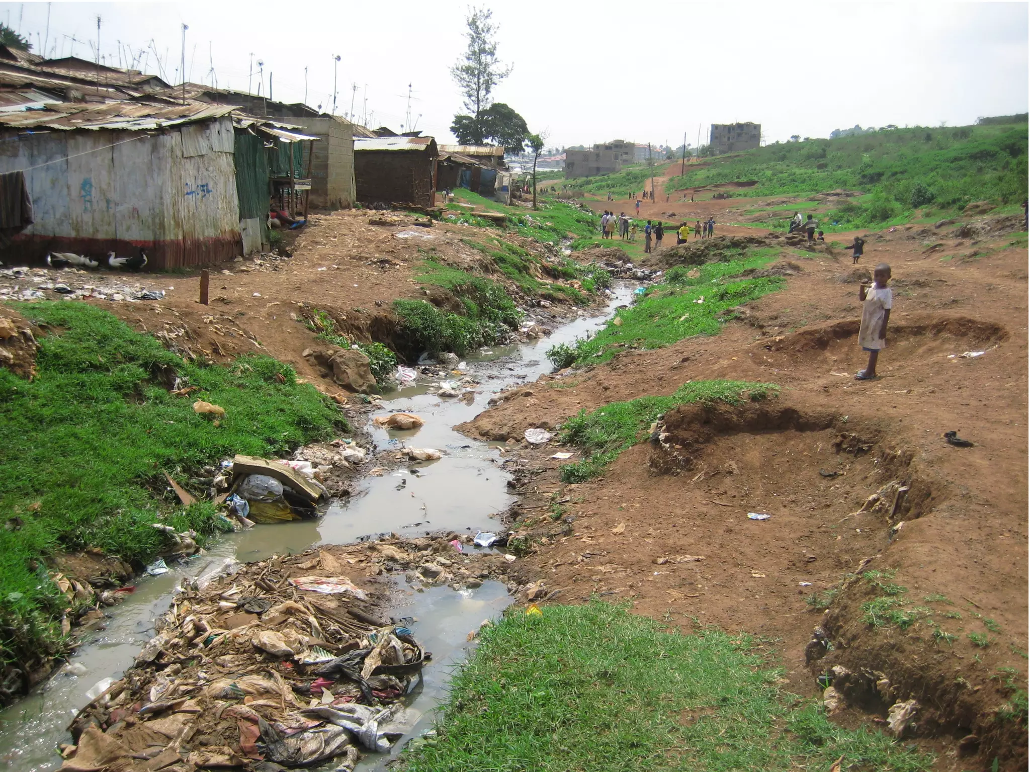
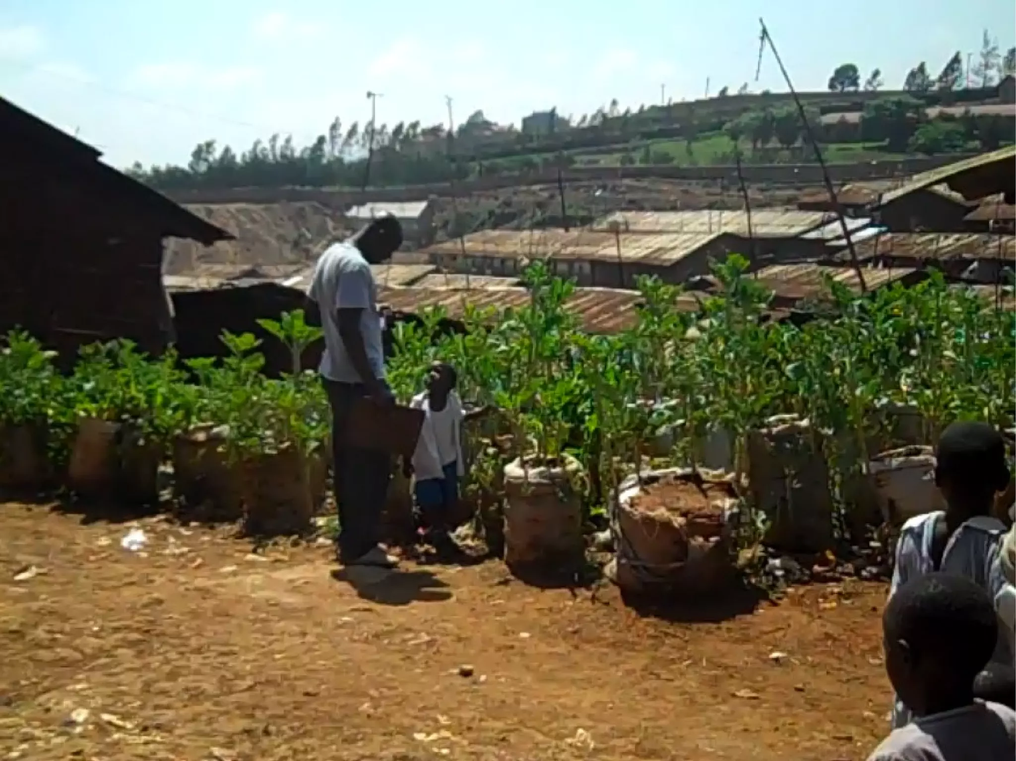
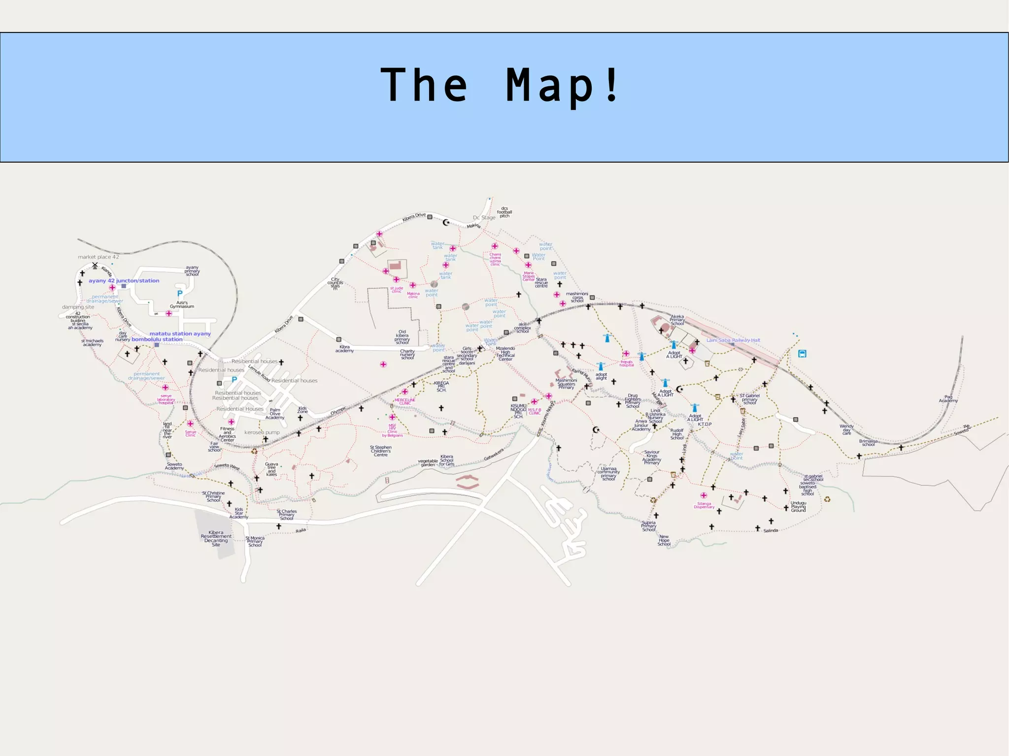
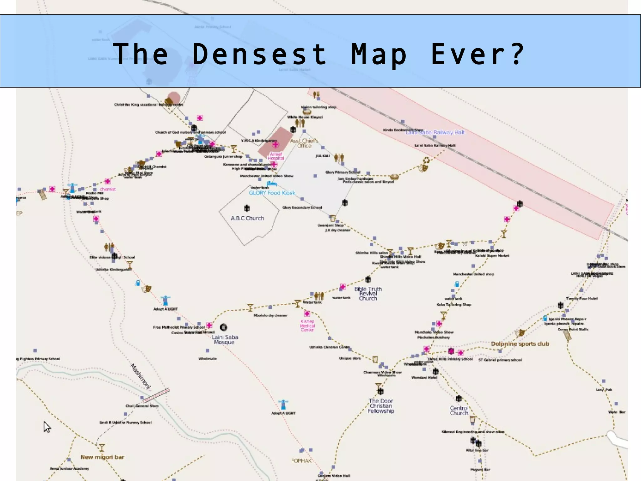
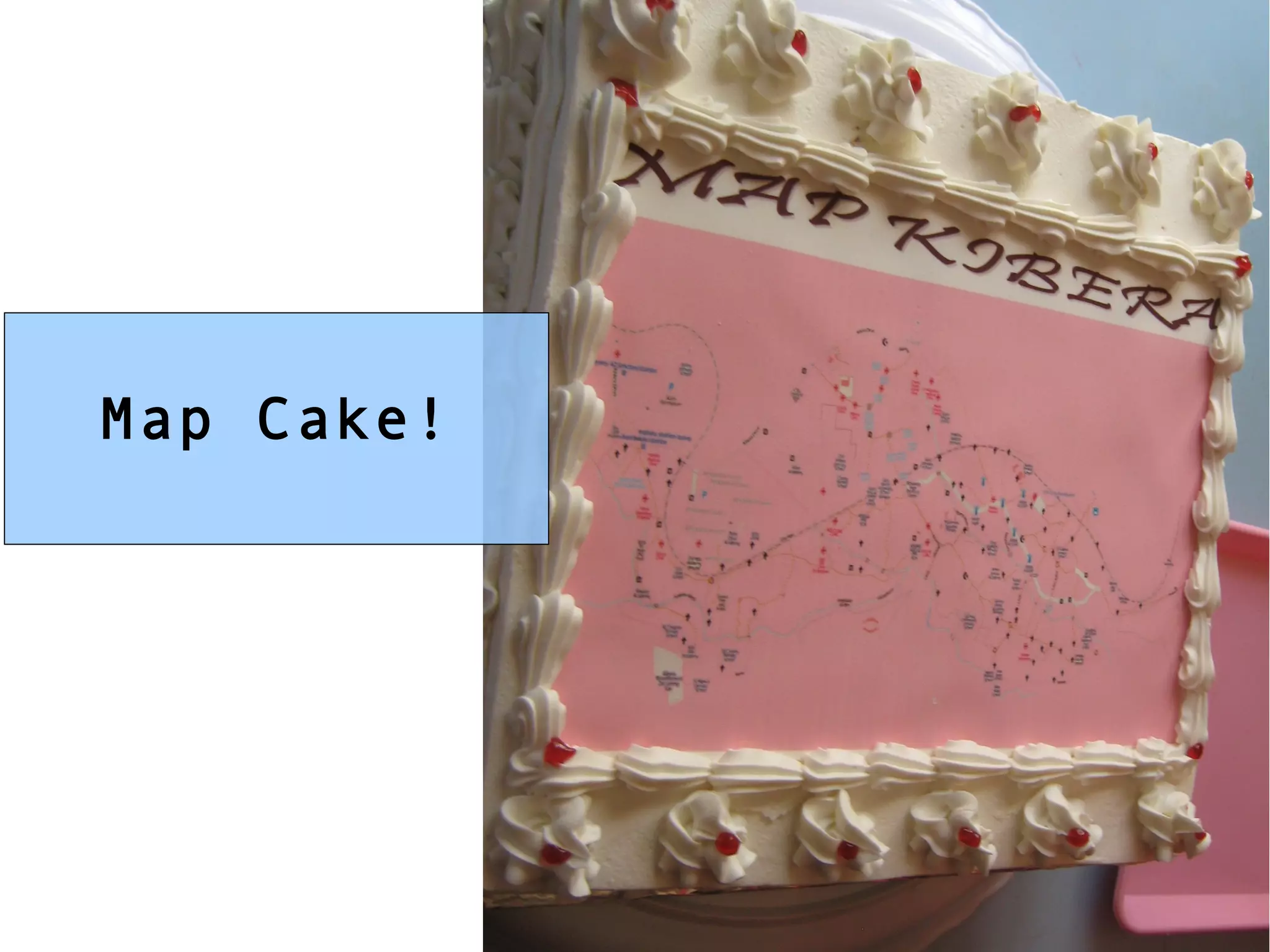
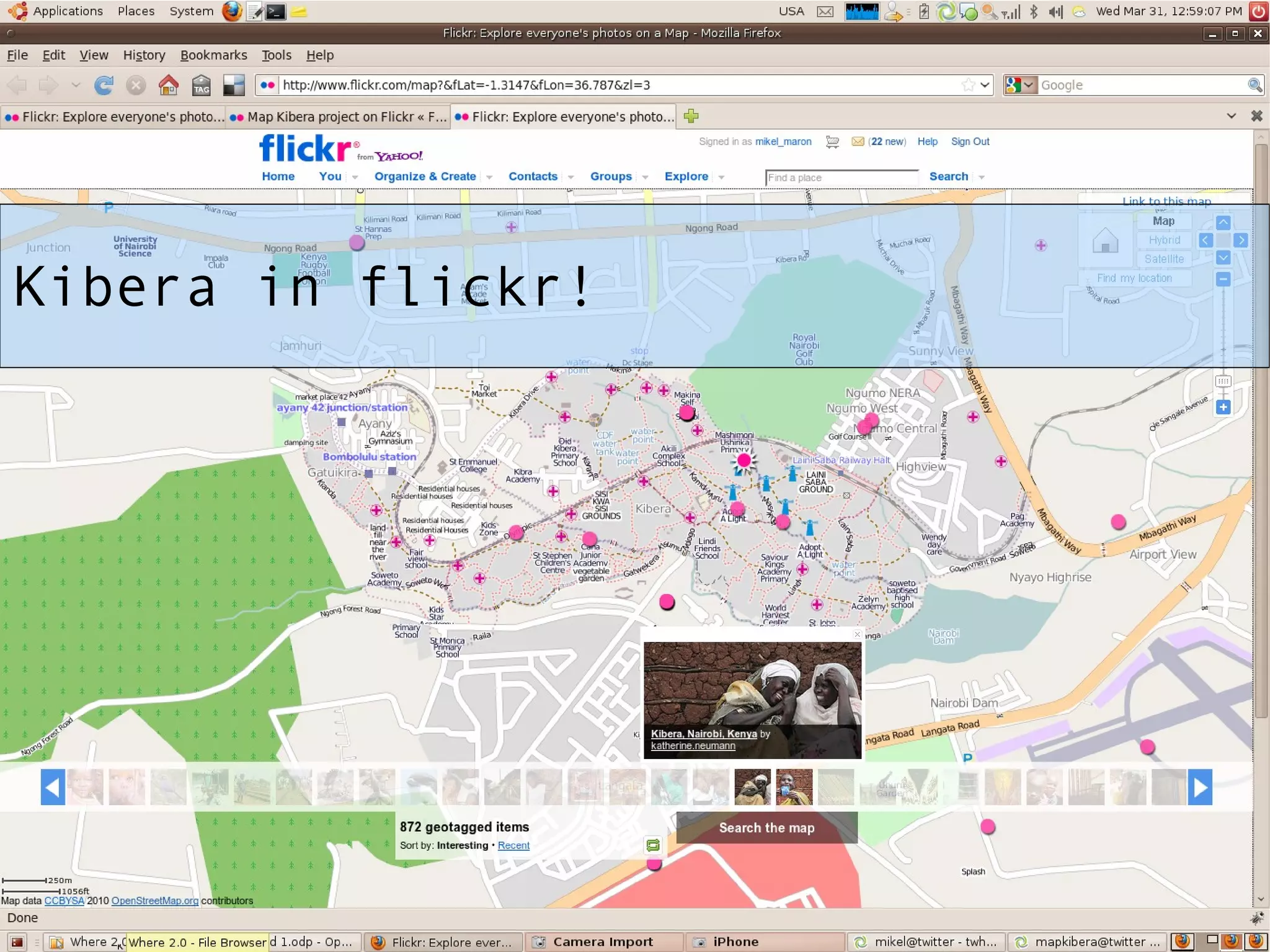
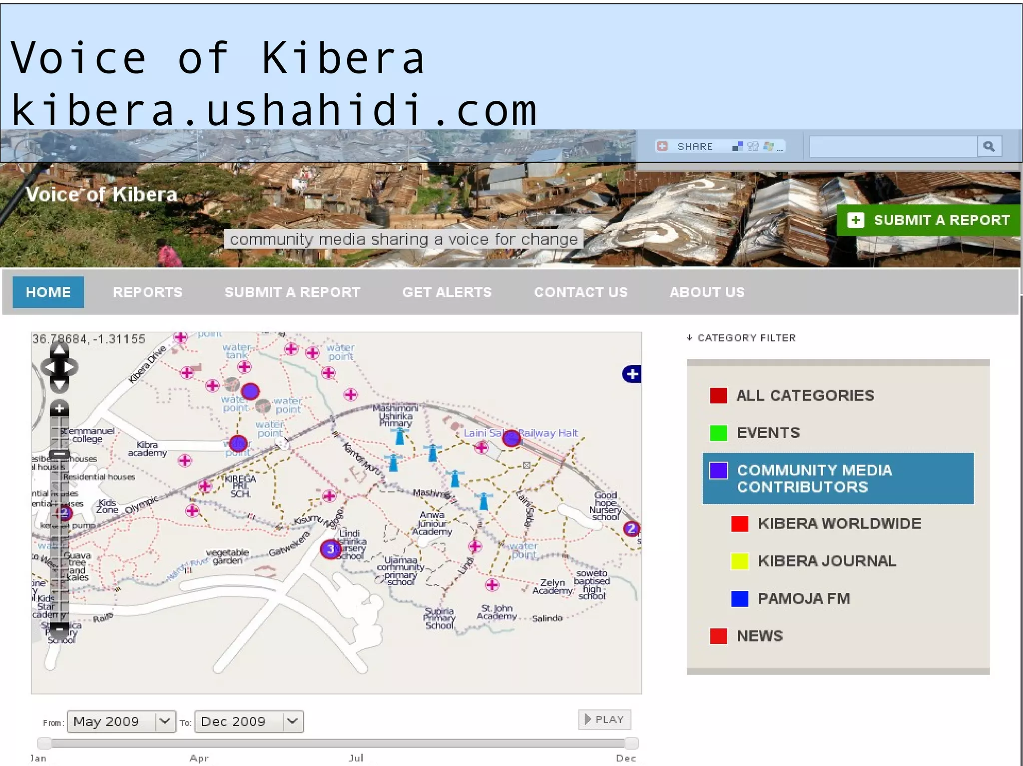
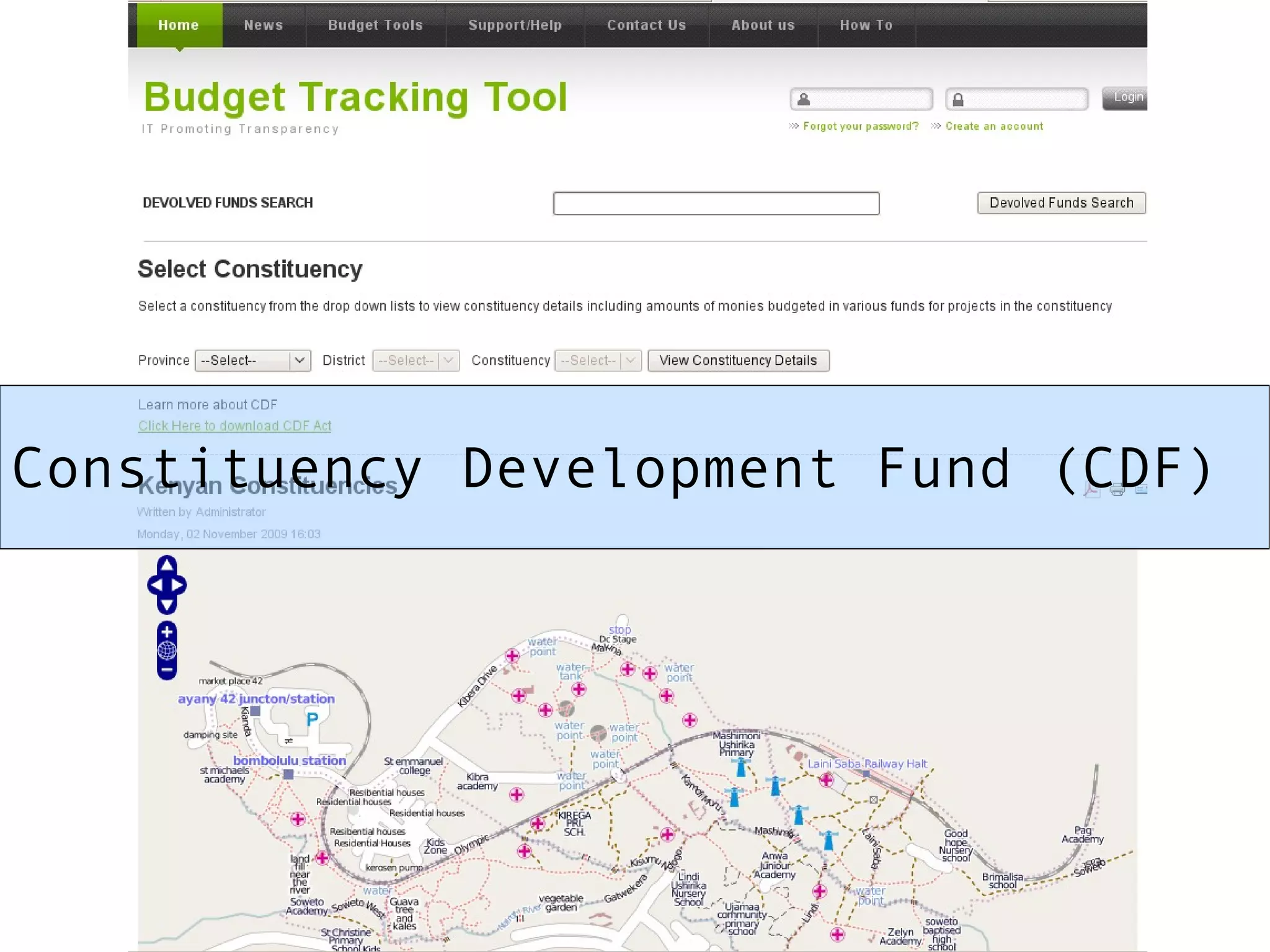
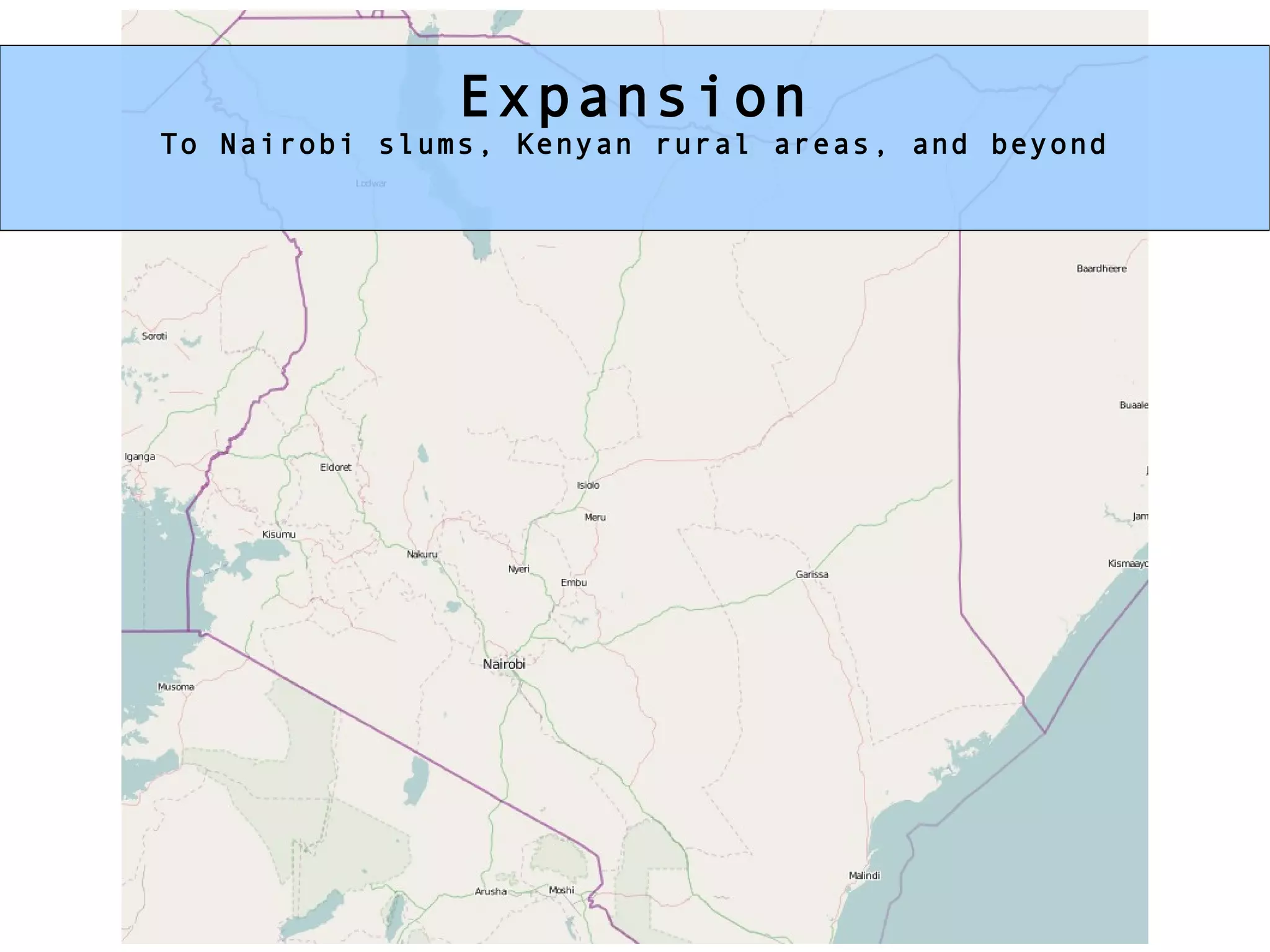
Map Kibera Mikel Maron OpenStreetMap/GroundTruth Where 2010 2010 Mar 31 photo: http://gallery.me.com/dbullington#100816&view=null&bgcolor=black&sel=12
Kibera  1 million people(?), 2.5 km2   was a blank spot on the map
Blank spots on the map have motivated me to travel to  Palestine, India,  and help coordinate in  Haiti
OpenStreetMap Global Collaborative Mapping “ kinda like Wikipedia for Maps”
Map Kibera Phase 1 prep April 2009 – October 2009
I'm not going to map Kibera myself! this is the usual way I map
Existing Data satellite imagery
So throw mapping parties! It's going to be a little different than Silicon Valley
Partners and Allies Tech Community:  Ushahidi, Mobile Boot Camp, skunkwerks, OpenStreetMap Universities:  Columbia University, U of Nairobi Agencies:  Nairobi, City Govt, UN-Habitat, UNHCR, UNICEF, Google   Broadcast and Community Media:  Pamoja FM, Kibera Journal, KTN, Citizen TV, Kibera WorldWide, Hot Sun Foundation AND ...?
Everything is openly organized In the wiki http://mapkibera.org/wiki/
So we went to Kenya and nobody believed it was happening til we got there
Cooperation with the  local administration
* Recruited Mappers Recruited Mappers
Phase 1 October – December 2009
* The Mappers The Mappers
Film Crew Kibera WorldWide
Tech Crew Local GIS experts
* international support -- Harry, Mike, Lars International Support Harry Wood/HOT, Mike Migurski/Stamen, Lars Bromley/AAAS, Geofabrik, & many more
Mappers took to GPS Surveying naturally
in our toolbox: Walking Papers
What do we collect? roads and paths and rail water points pit latrines / sewer medical facilities schools churches/mosques businesses community organizations administrative units and whatever else is useful?!


The Lab
* ....
* Logistics, matatu, food, time. Logistics Matatus, food, and time!
The Map!
The Densest Map Ever?
Map Cake!
BUT What's it good for in a place like Kibera? The question we are constantly asked and asking ourselves
 
Possible uses like, Matatu Route Map
Or Art Mapping
Kibera in flickr!
* open data ... all about potential Potential of Open Data Can be a little abstract in Kibera
So we asked the people of Kibera CBOs and NGOs
And the UN, large NGOs
* But still ...Disconnect between the what the mappers see and what everyone else sees And everyone is excited But no one sees the change in Kibera
This is what the media sees of Kibera?
A few years ago, the Water and Sanitation Program, a nonprofit affiliated with the United Nations and the World Bank ... issued a report on Kibera's water kiosks... At 3 shillings per jerry can, Kibera residents pay 10 times more for water than the average person in a wealthy neighborhood with municipally supplied, metered water service... They presented it to local and national politicians. There was only one bunch of people who never saw the study: the residents of Kibera... Japeth Mbuvi, Operations Analyst for the program, explained why... "there could be riots." ...there's something sad about his concern...   Kibera's people deserve to know the facts about their lives  -- Robert Neuwirth, Shadow Cities
GroundTruth … Our vision Create a corps of citizens in the developing world who are versed in a variety of new technologies and empowered to report on, tell stories about, and generate data and map information about themselves and their community, and to use that information for action. We call this process  community information empowerment and development.
The Challenge of Slums 1 Billion people in slums today 2 Billion in twenty years Where is their voice? Their government?
Phase 2 We had to come back for another six months (at least) February – August 2010
Develop Entities and Skills Kibera Mappers Video Documentary Team Kibera Media Network SMS Community Monitors
Deeply Explore Themes Health Education Water Safety
Get Kibera online and trained, with wordpress-mu KCODA Kibera Journal Pamoja FM ++
Voice of Kibera kibera.ushahidi.com
Constituency Development Fund (CDF)
Connect these voices to service providers Accountability Forums
Expansion To Nairobi slums, Kenyan rural areas, and beyond
Curriculum and Reproduction Haiti is possible Lots of interest elsewhere
Map Kibera http://mapkibera.org/ http://wiki.openstreetmap.org/index.php/Humanitarian_OSM_Team http://www.slideshare.net/mikel_maron http://brainoff.com/ [email_address]

Map Kibera at Where 2.0

  • 1.
    Map Kibera MikelMaron OpenStreetMap/GroundTruth Where 2010 2010 Mar 31 photo: http://gallery.me.com/dbullington#100816&view=null&bgcolor=black&sel=12
  • 2.
    Kibera 1million people(?), 2.5 km2 was a blank spot on the map
  • 3.
    Blank spots onthe map have motivated me to travel to Palestine, India, and help coordinate in Haiti
  • 4.
    OpenStreetMap Global CollaborativeMapping “ kinda like Wikipedia for Maps”
  • 5.
    Map Kibera Phase1 prep April 2009 – October 2009
  • 6.
    I'm not goingto map Kibera myself! this is the usual way I map
  • 7.
  • 8.
    So throw mappingparties! It's going to be a little different than Silicon Valley
  • 9.
    Partners and AlliesTech Community: Ushahidi, Mobile Boot Camp, skunkwerks, OpenStreetMap Universities: Columbia University, U of Nairobi Agencies: Nairobi, City Govt, UN-Habitat, UNHCR, UNICEF, Google Broadcast and Community Media: Pamoja FM, Kibera Journal, KTN, Citizen TV, Kibera WorldWide, Hot Sun Foundation AND ...?
  • 10.
    Everything is openlyorganized In the wiki http://mapkibera.org/wiki/
  • 11.
    So we wentto Kenya and nobody believed it was happening til we got there
  • 12.
    Cooperation with the local administration
  • 13.
    * Recruited MappersRecruited Mappers
  • 14.
    Phase 1 October– December 2009
  • 15.
    * The MappersThe Mappers
  • 16.
  • 17.
    Tech Crew LocalGIS experts
  • 18.
    * international support-- Harry, Mike, Lars International Support Harry Wood/HOT, Mike Migurski/Stamen, Lars Bromley/AAAS, Geofabrik, & many more
  • 19.
    Mappers took toGPS Surveying naturally
  • 20.
    in our toolbox:Walking Papers
  • 21.
    What do wecollect? roads and paths and rail water points pit latrines / sewer medical facilities schools churches/mosques businesses community organizations administrative units and whatever else is useful?!
  • 22.
  • 23.
  • 24.
  • 25.
  • 26.
  • 27.
  • 28.
  • 29.
  • 30.
  • 31.
  • 32.
  • 33.
  • 34.
  • 35.
  • 36.
  • 37.
  • 38.
    * Logistics, matatu,food, time. Logistics Matatus, food, and time!
  • 39.
  • 40.
  • 41.
  • 42.
    BUT What's itgood for in a place like Kibera? The question we are constantly asked and asking ourselves
  • 43.
  • 44.
    Possible uses like,Matatu Route Map
  • 45.
  • 46.
  • 47.
    * open data... all about potential Potential of Open Data Can be a little abstract in Kibera
  • 48.
    So we askedthe people of Kibera CBOs and NGOs
  • 49.
    And the UN,large NGOs
  • 50.
    * But still...Disconnect between the what the mappers see and what everyone else sees And everyone is excited But no one sees the change in Kibera
  • 51.
    This is whatthe media sees of Kibera?
  • 52.
    A few yearsago, the Water and Sanitation Program, a nonprofit affiliated with the United Nations and the World Bank ... issued a report on Kibera's water kiosks... At 3 shillings per jerry can, Kibera residents pay 10 times more for water than the average person in a wealthy neighborhood with municipally supplied, metered water service... They presented it to local and national politicians. There was only one bunch of people who never saw the study: the residents of Kibera... Japeth Mbuvi, Operations Analyst for the program, explained why... "there could be riots." ...there's something sad about his concern... Kibera's people deserve to know the facts about their lives -- Robert Neuwirth, Shadow Cities
  • 53.
    GroundTruth … Ourvision Create a corps of citizens in the developing world who are versed in a variety of new technologies and empowered to report on, tell stories about, and generate data and map information about themselves and their community, and to use that information for action. We call this process community information empowerment and development.
  • 54.
    The Challenge ofSlums 1 Billion people in slums today 2 Billion in twenty years Where is their voice? Their government?
  • 55.
    Phase 2 Wehad to come back for another six months (at least) February – August 2010
  • 56.
    Develop Entities andSkills Kibera Mappers Video Documentary Team Kibera Media Network SMS Community Monitors
  • 57.
    Deeply Explore ThemesHealth Education Water Safety
  • 58.
    Get Kibera onlineand trained, with wordpress-mu KCODA Kibera Journal Pamoja FM ++
  • 59.
    Voice of Kiberakibera.ushahidi.com
  • 60.
  • 61.
    Connect these voicesto service providers Accountability Forums
  • 62.
    Expansion To Nairobislums, Kenyan rural areas, and beyond
  • 63.
    Curriculum and ReproductionHaiti is possible Lots of interest elsewhere
  • 64.
    Map Kibera http://mapkibera.org/http://wiki.openstreetmap.org/index.php/Humanitarian_OSM_Team http://www.slideshare.net/mikel_maron http://brainoff.com/ [email_address]