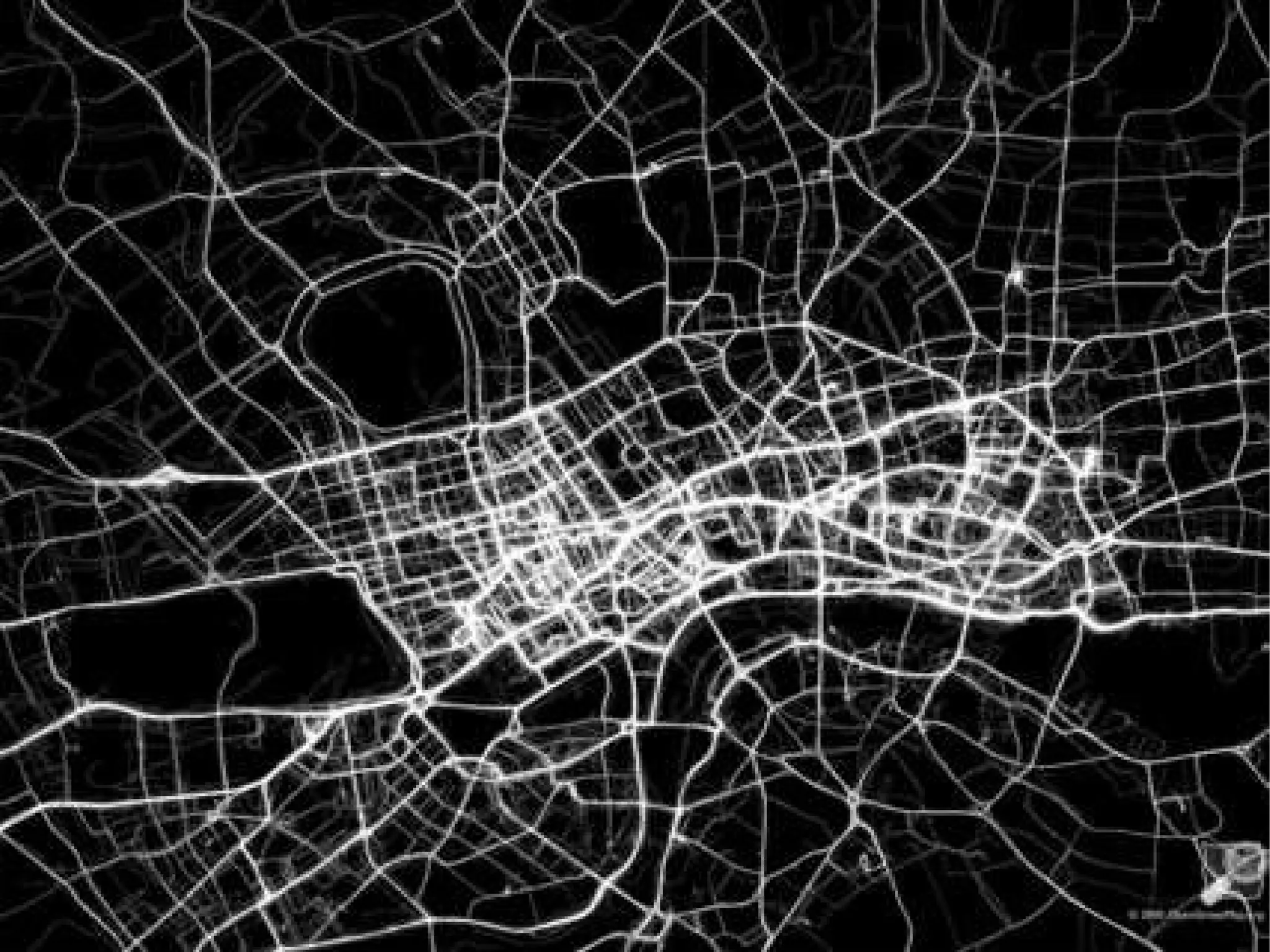
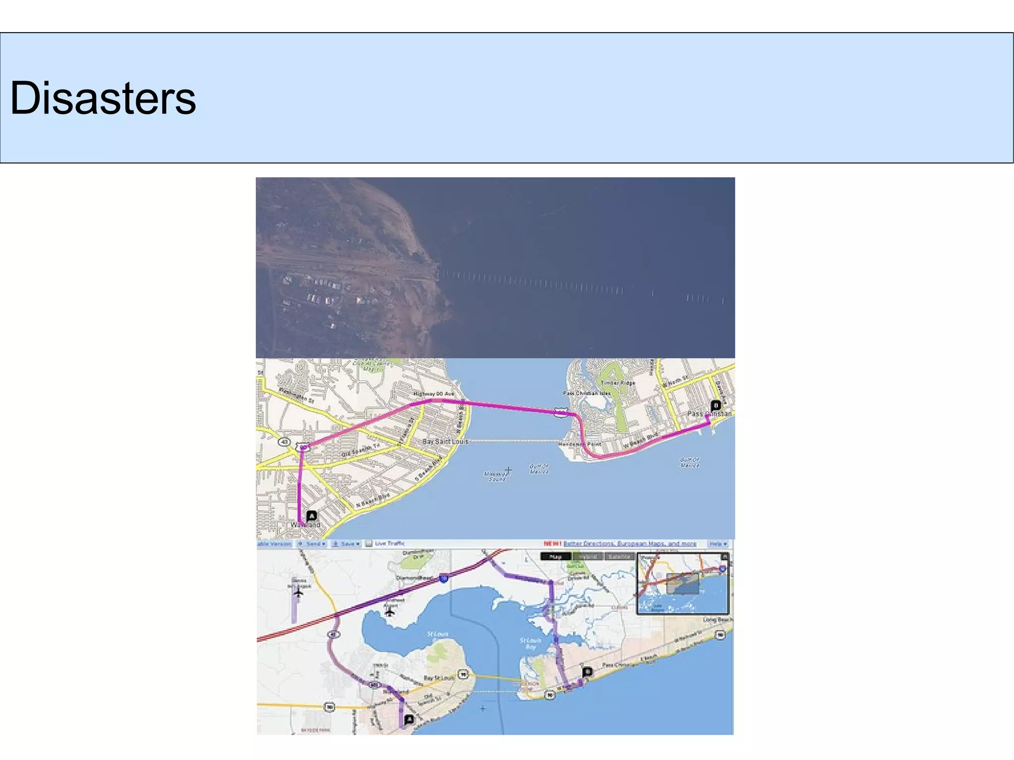
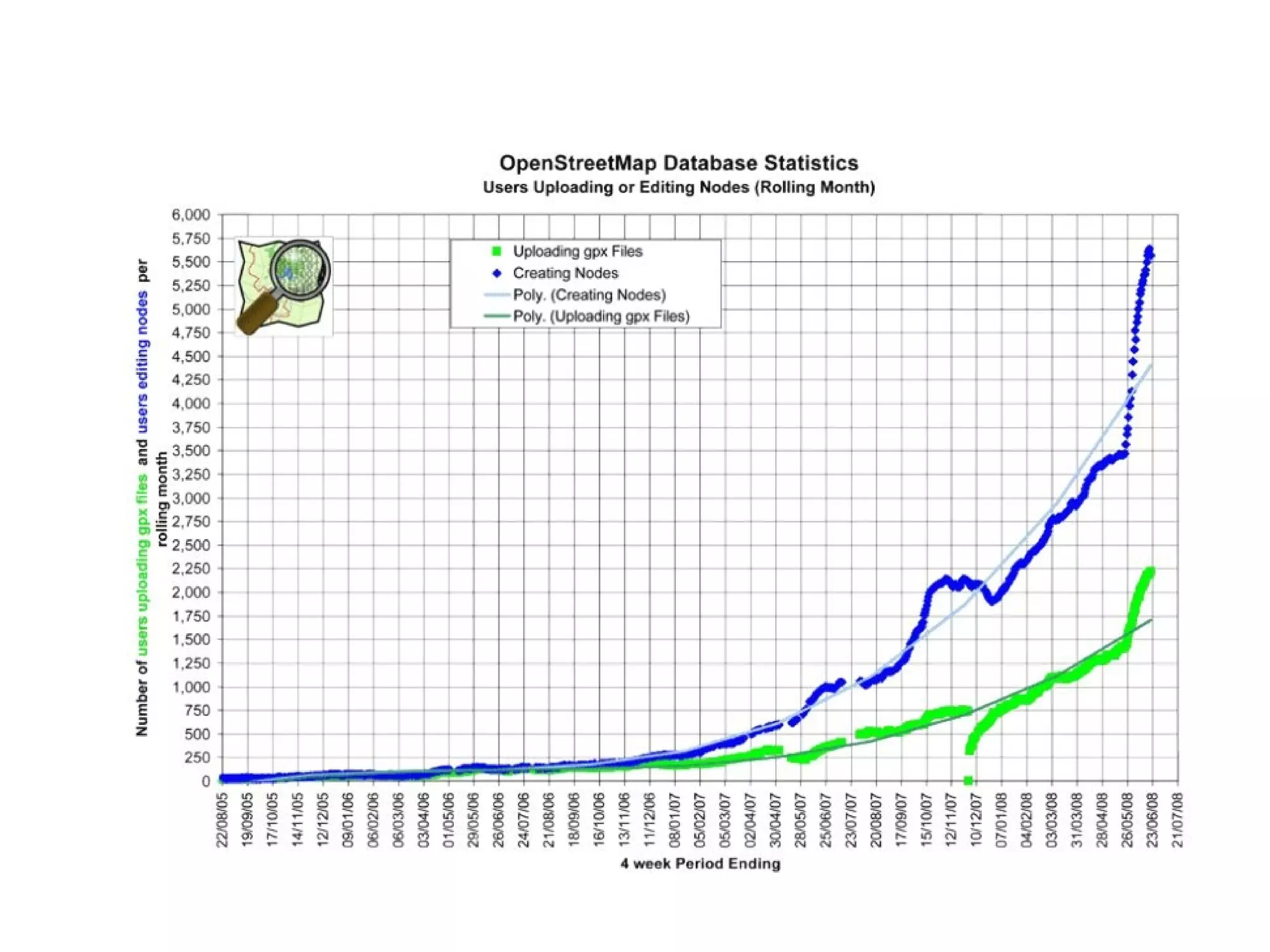
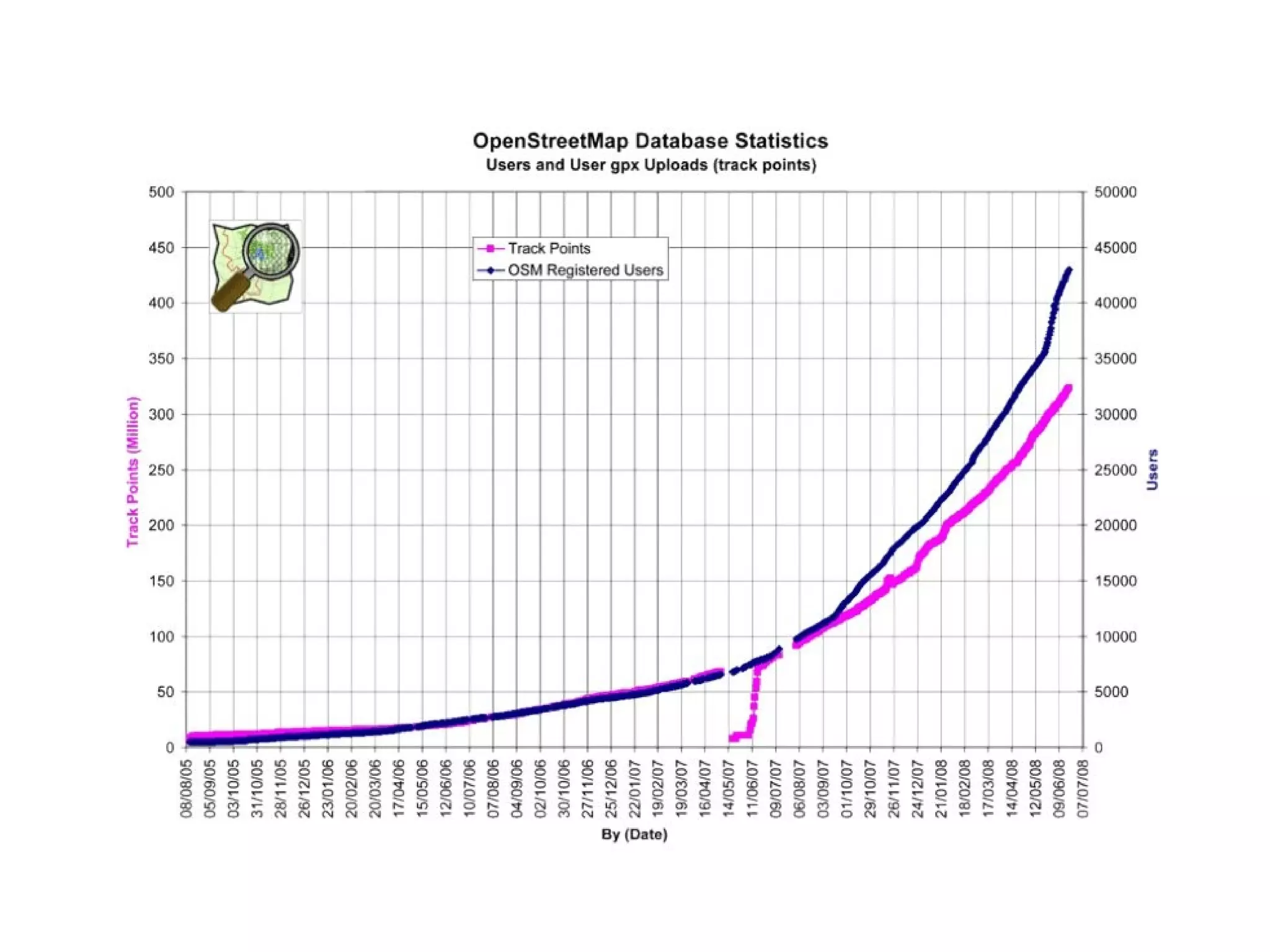
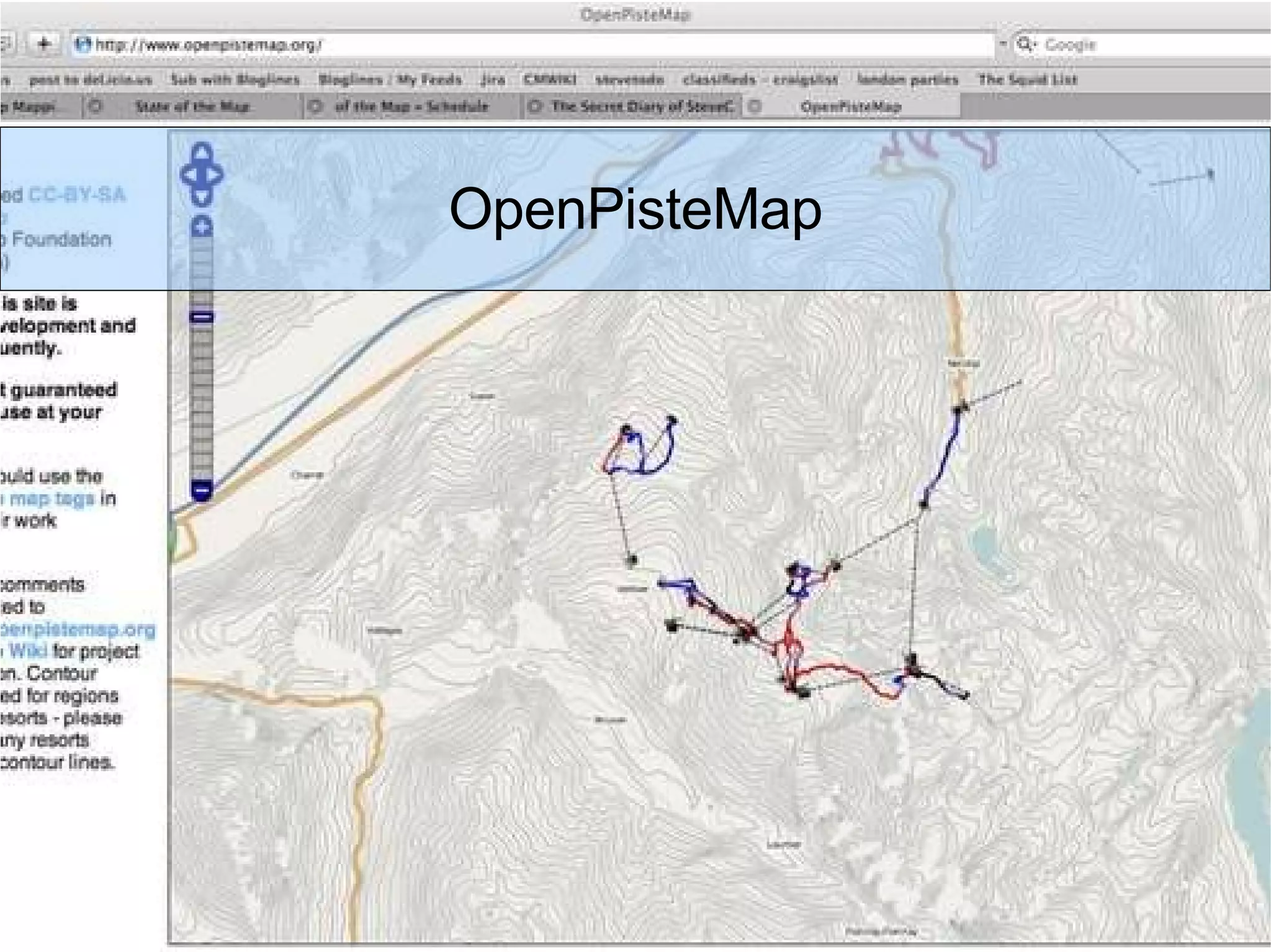
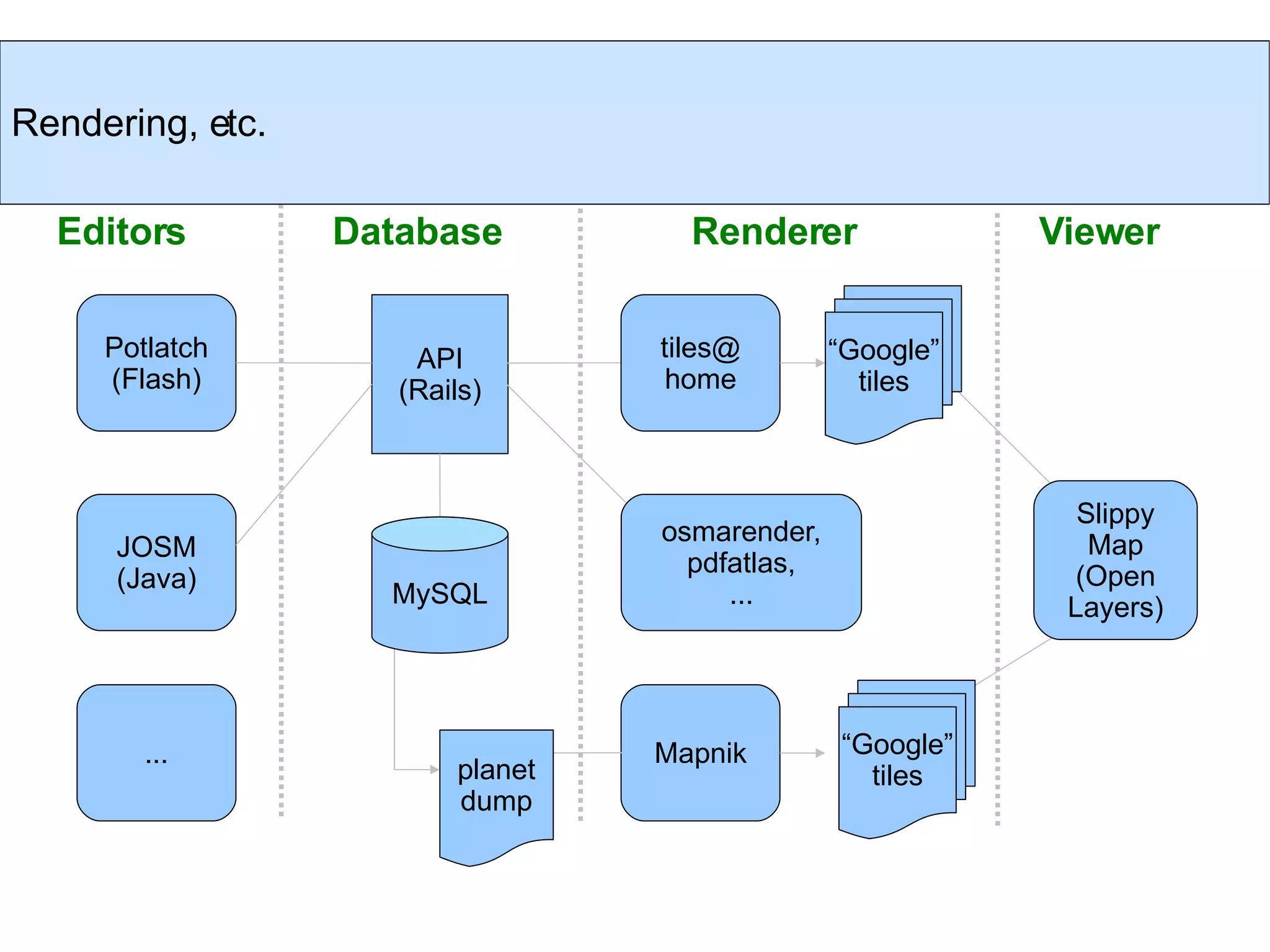
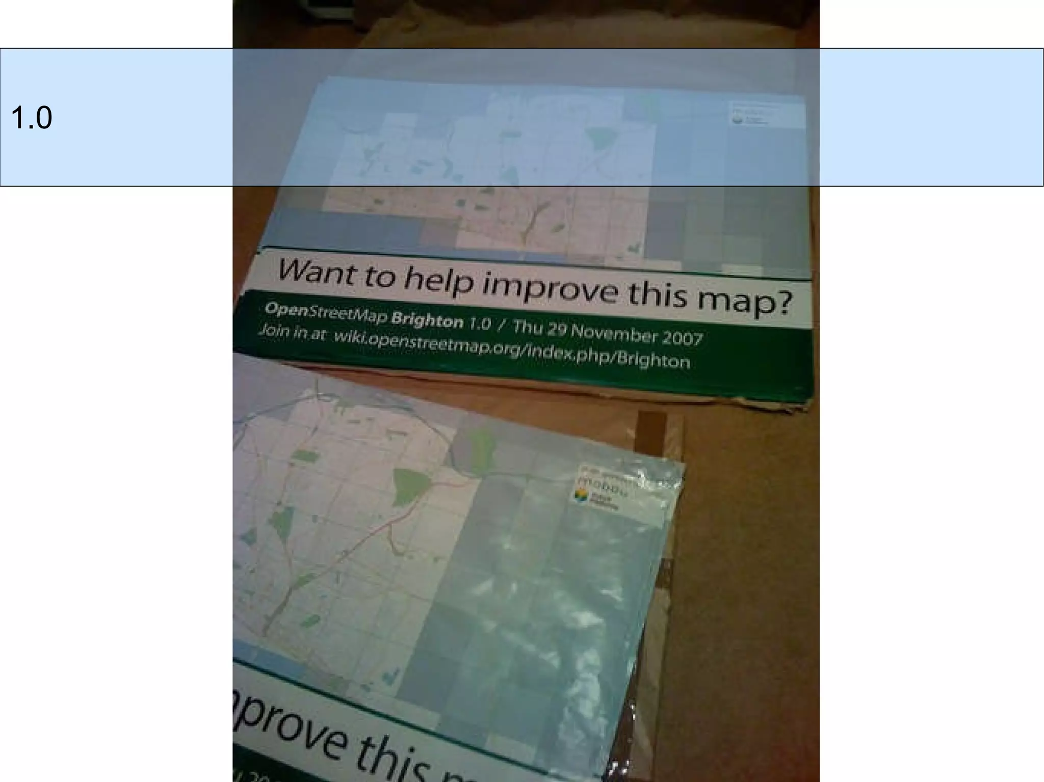
1) The document discusses OpenStreetMap, a collaborative project to create a free editable map of the world.
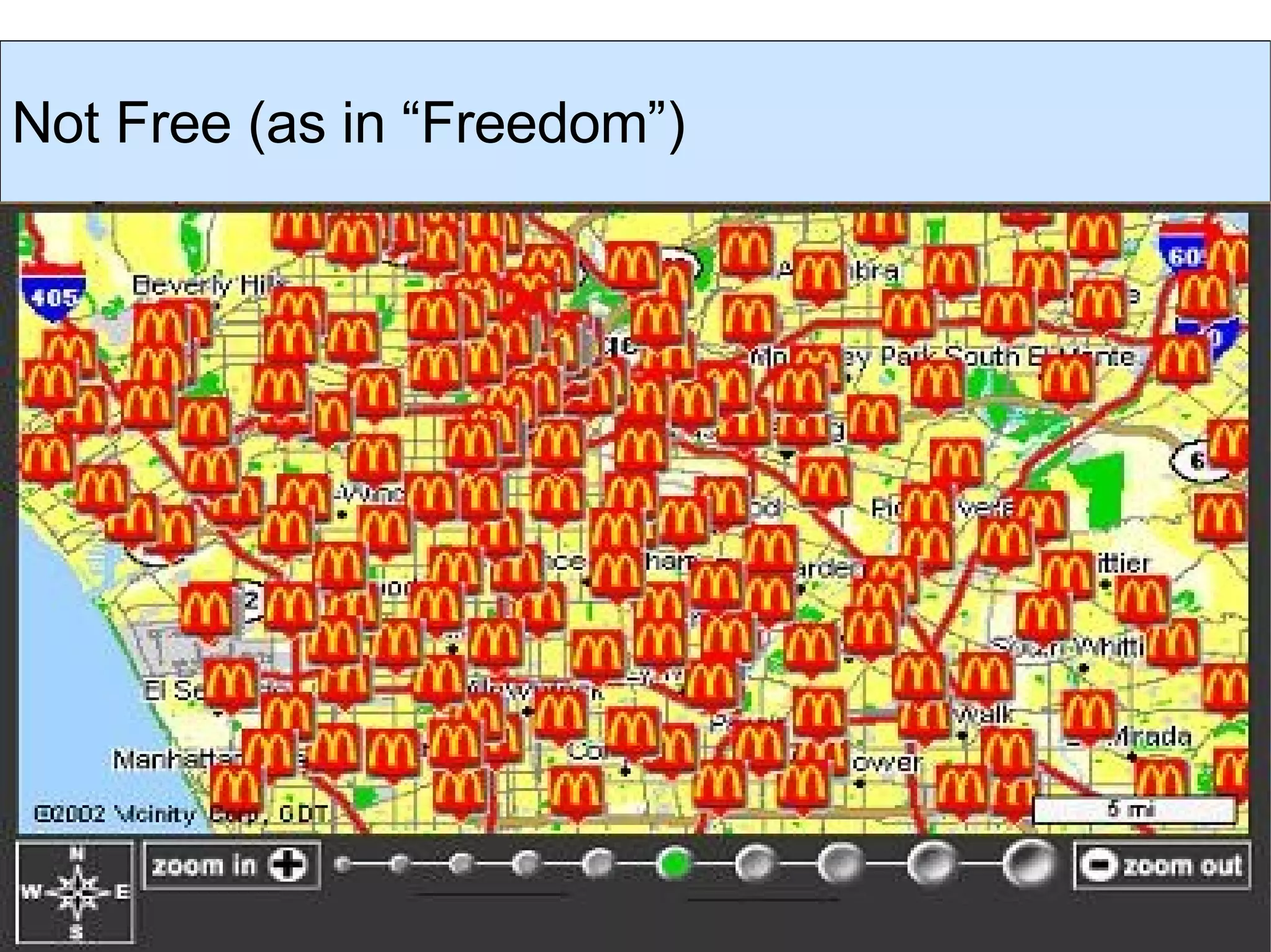
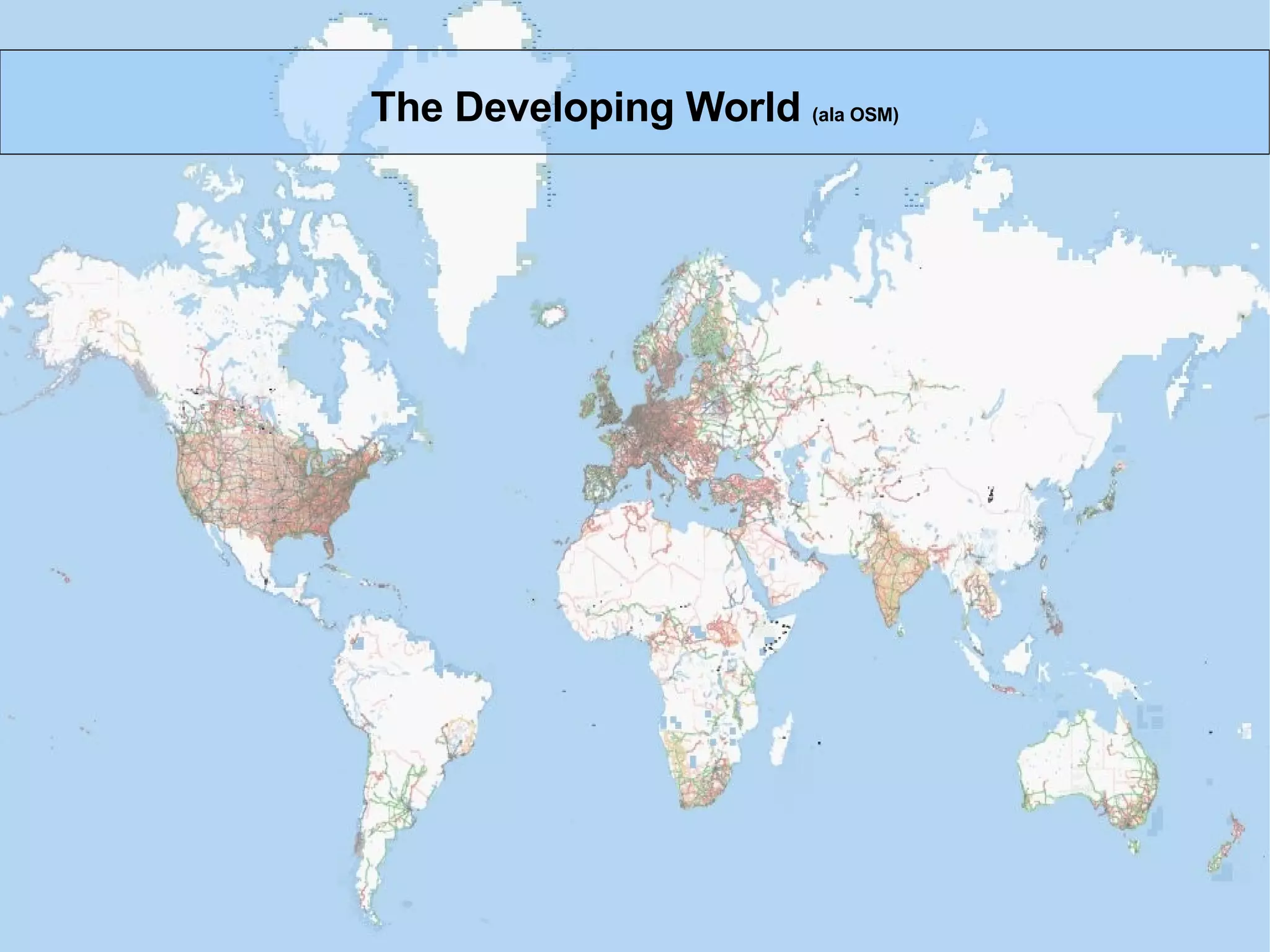
2) It highlights how OpenStreetMap data is open and can be freely used, edited, and shared compared to proprietary map data.
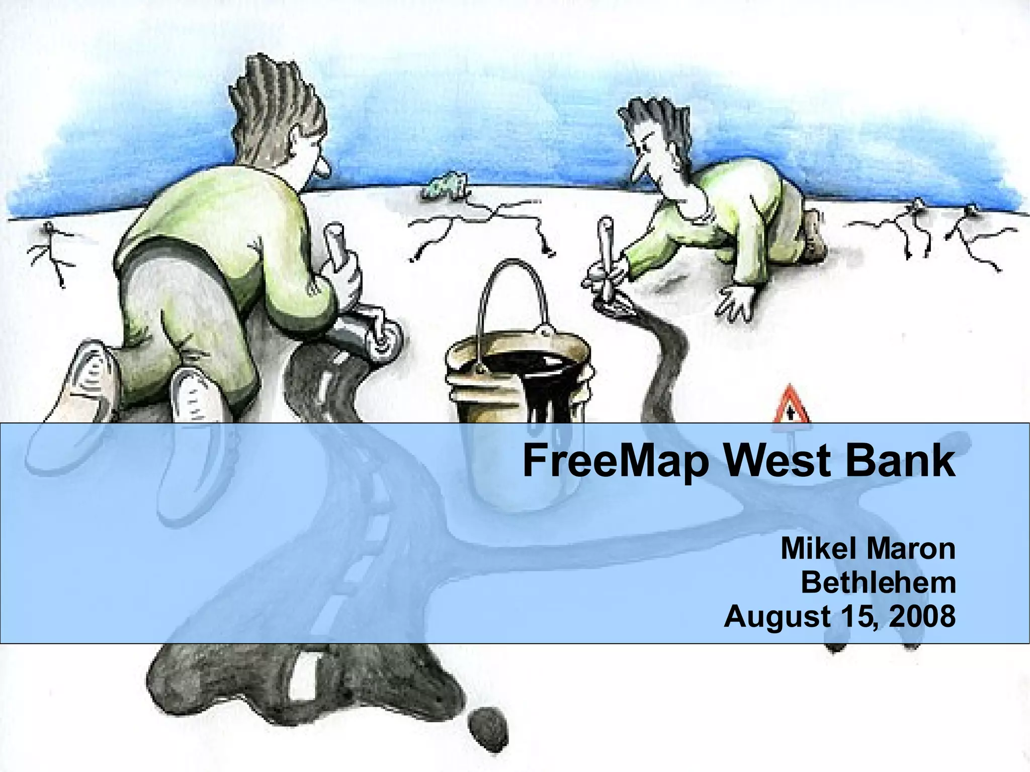
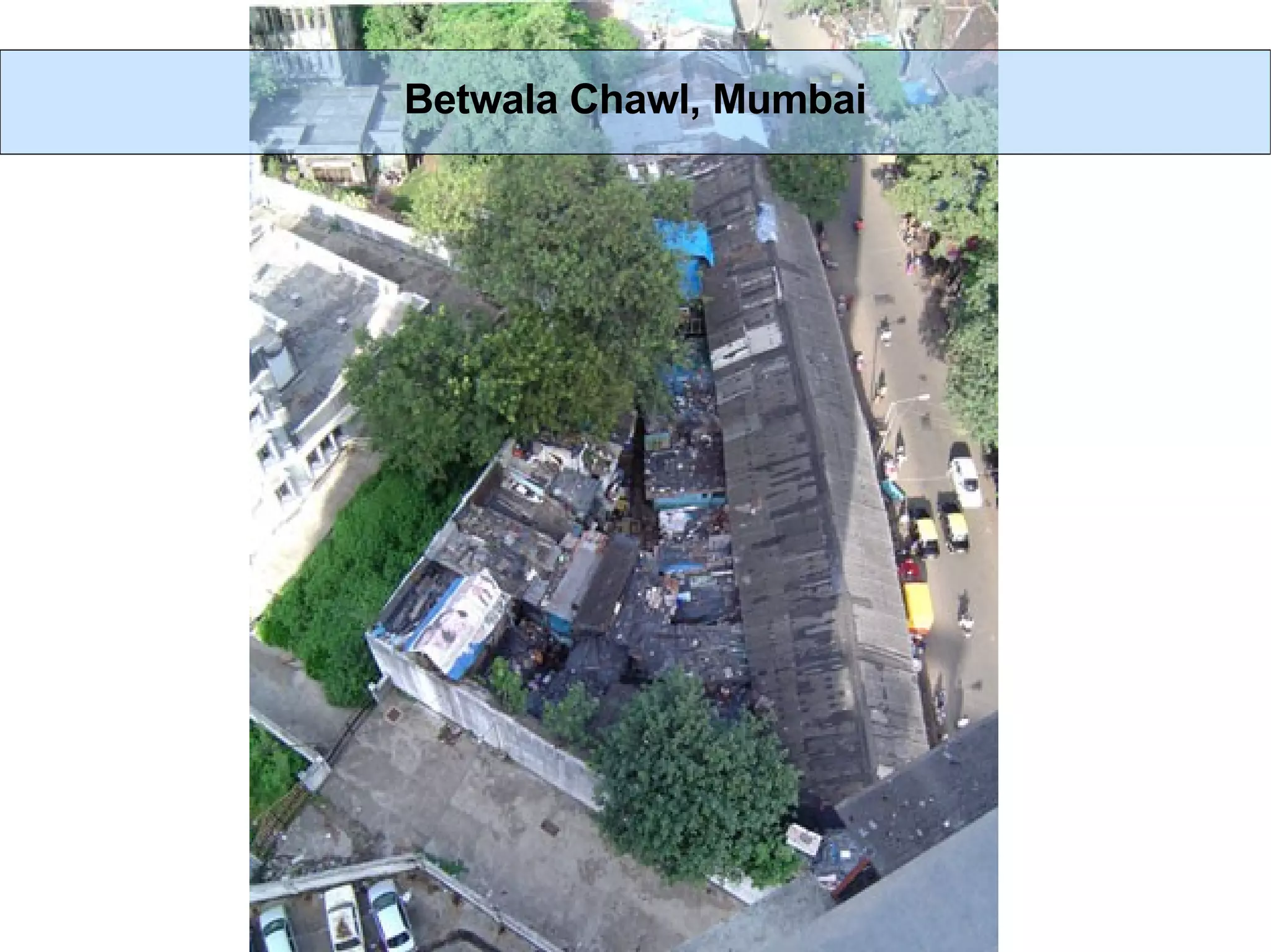
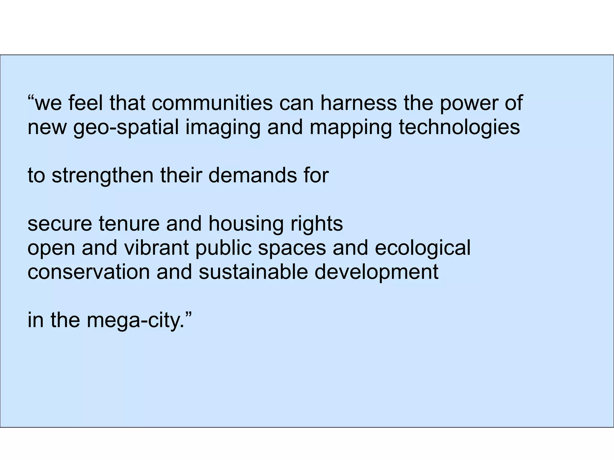
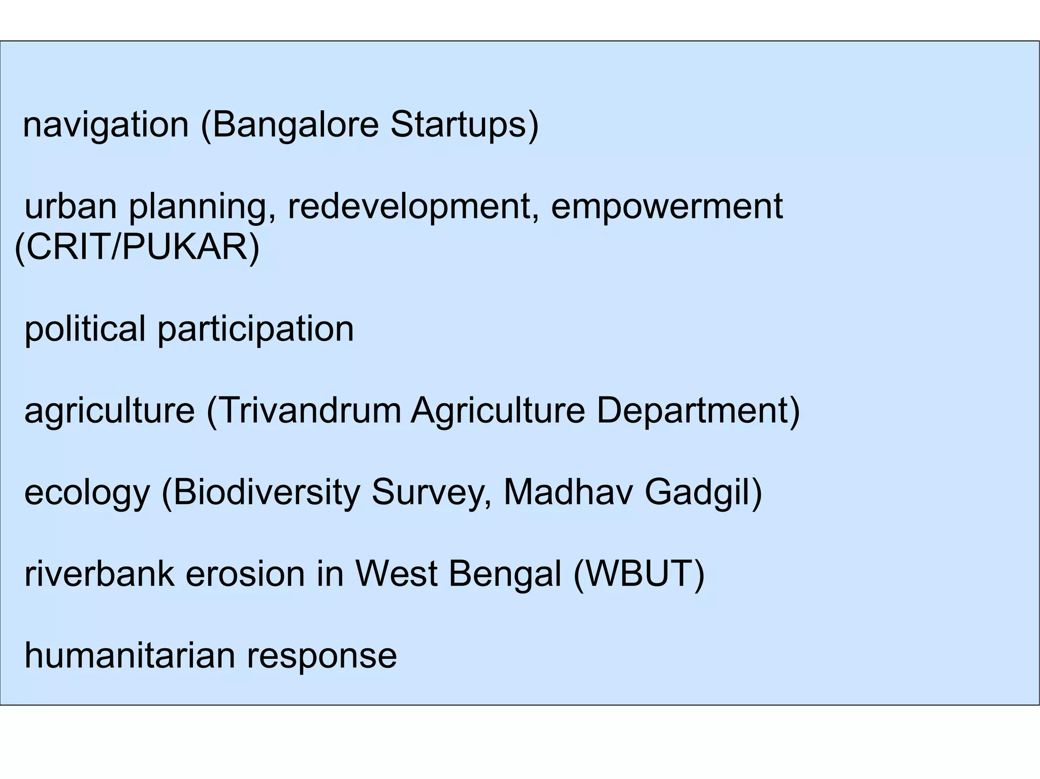
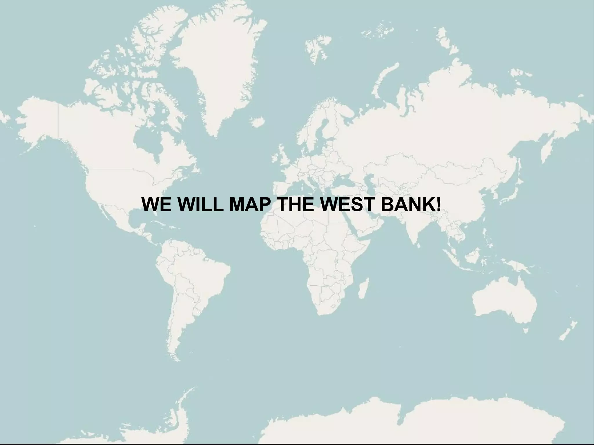
3) The document envisions using OpenStreetMap to map underserved areas like the West Bank to empower local communities and support issues like urban planning, agriculture, and humanitarian aid.


![WE WILL MAP THE WORLD! THANK YOU! [email_address] http://slideshare.net/mikel_maron/](https://image.slidesharecdn.com/westbank-1218710841080540-8/75/Palestine-West-Bank-Free-Map-Introduction-77-2048.jpg)


