Download as PDF, PPTX

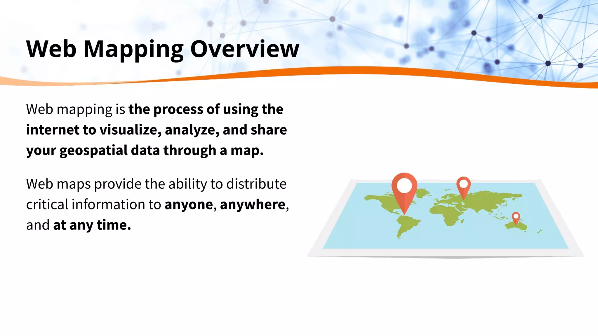
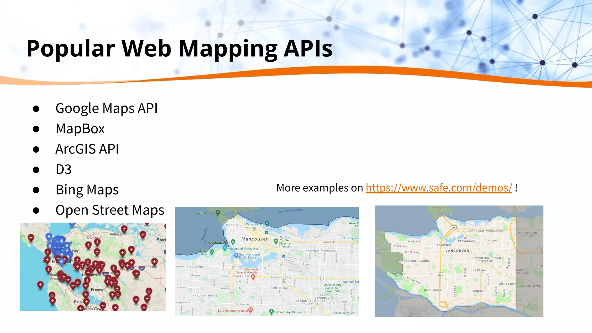
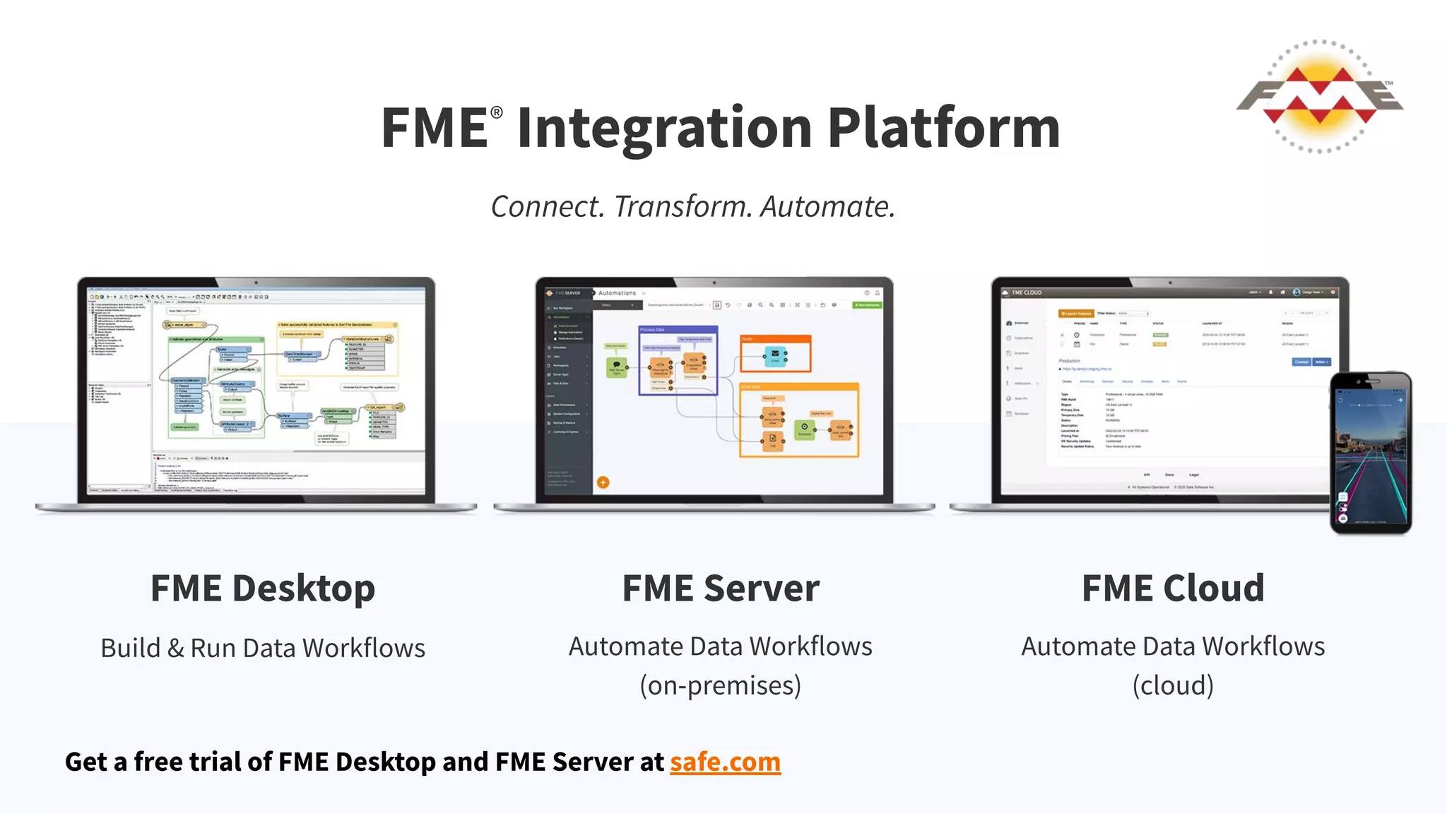
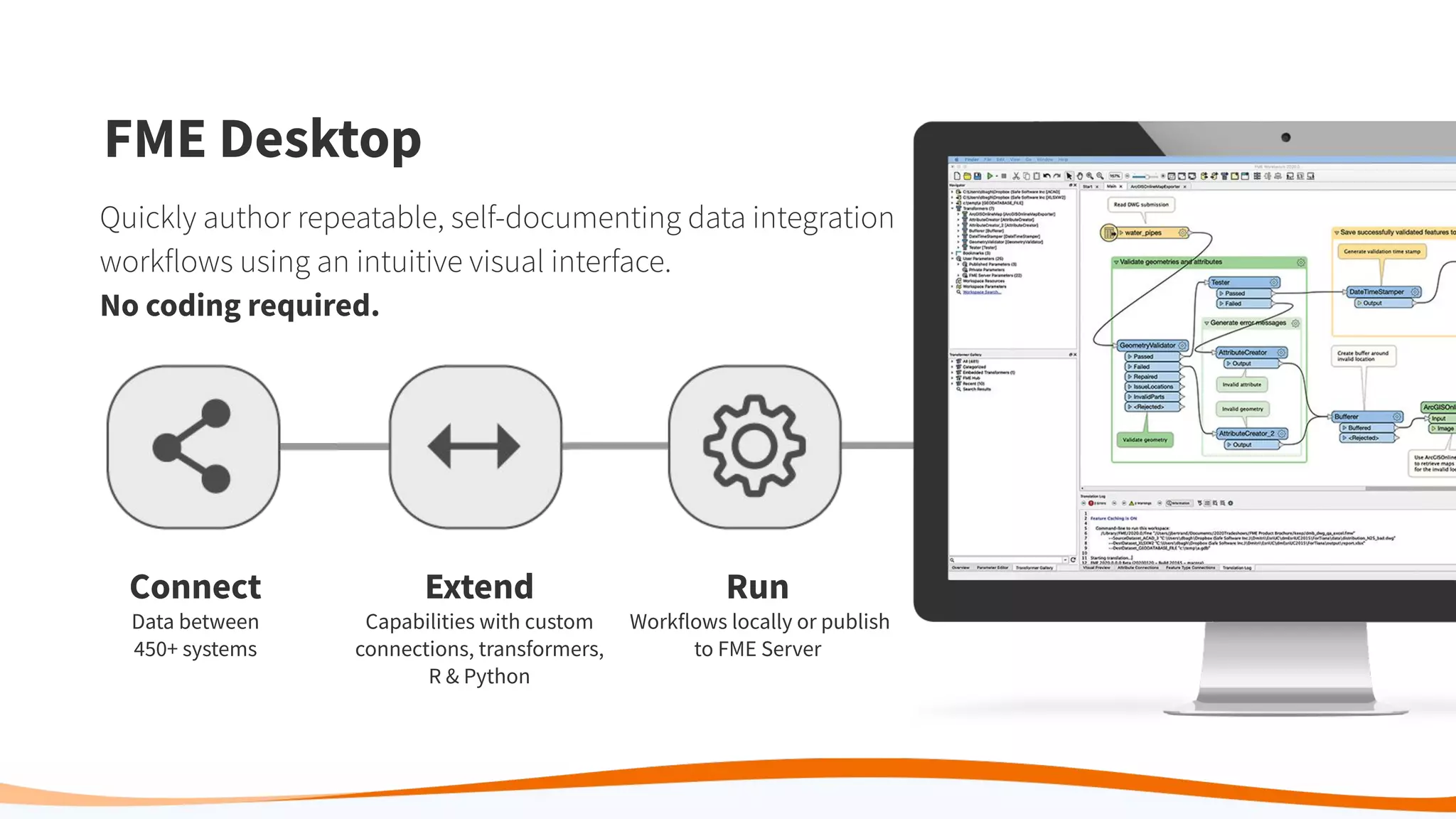
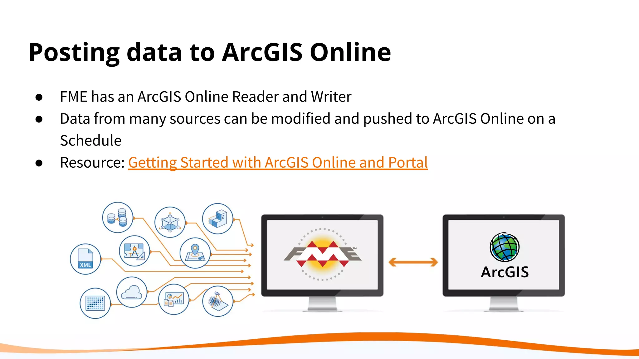

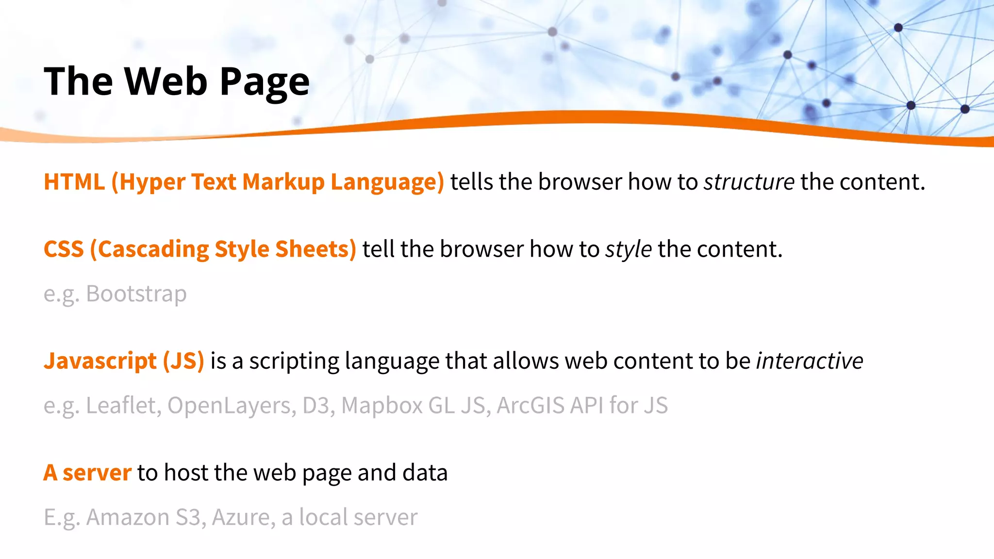
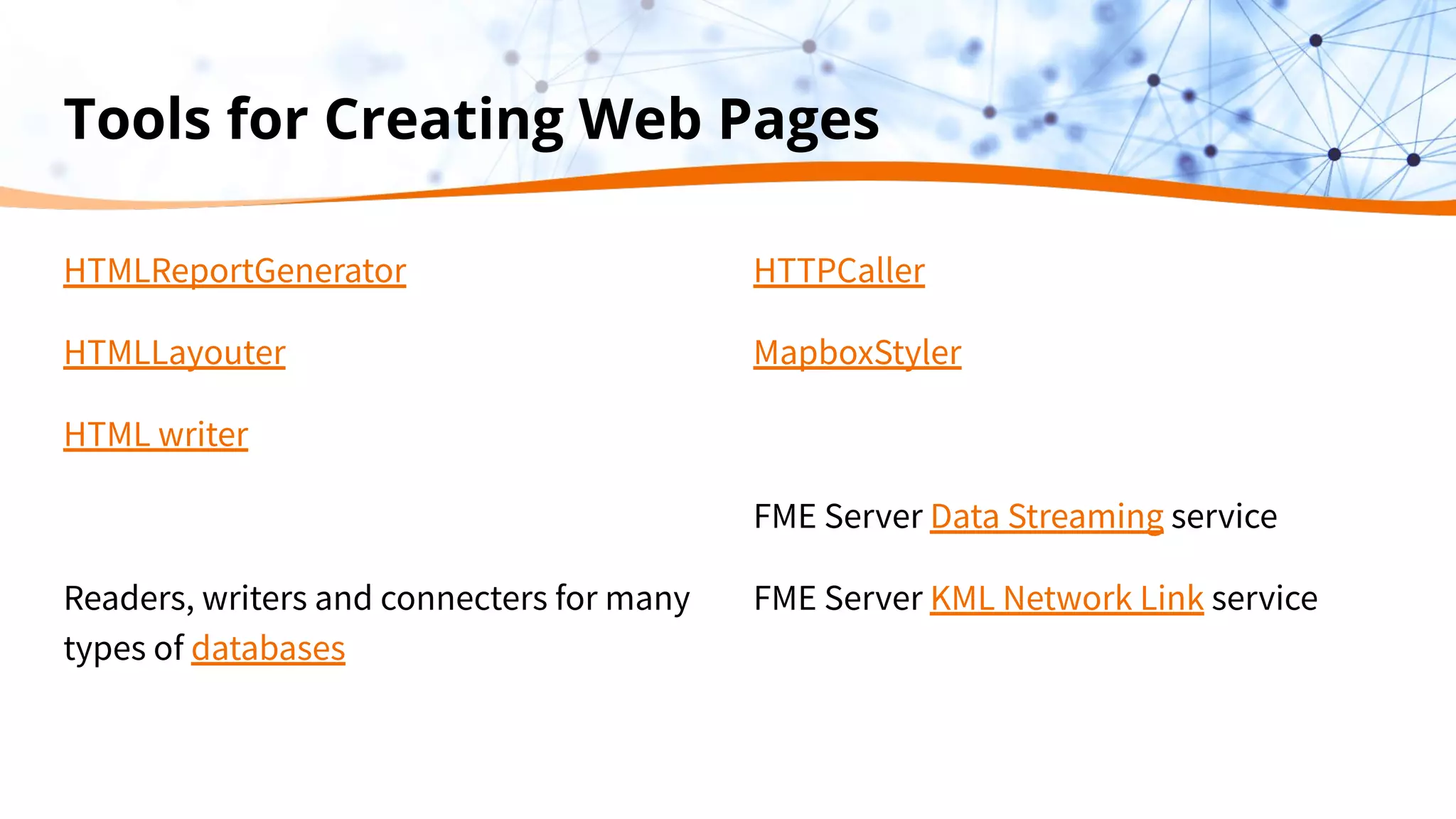
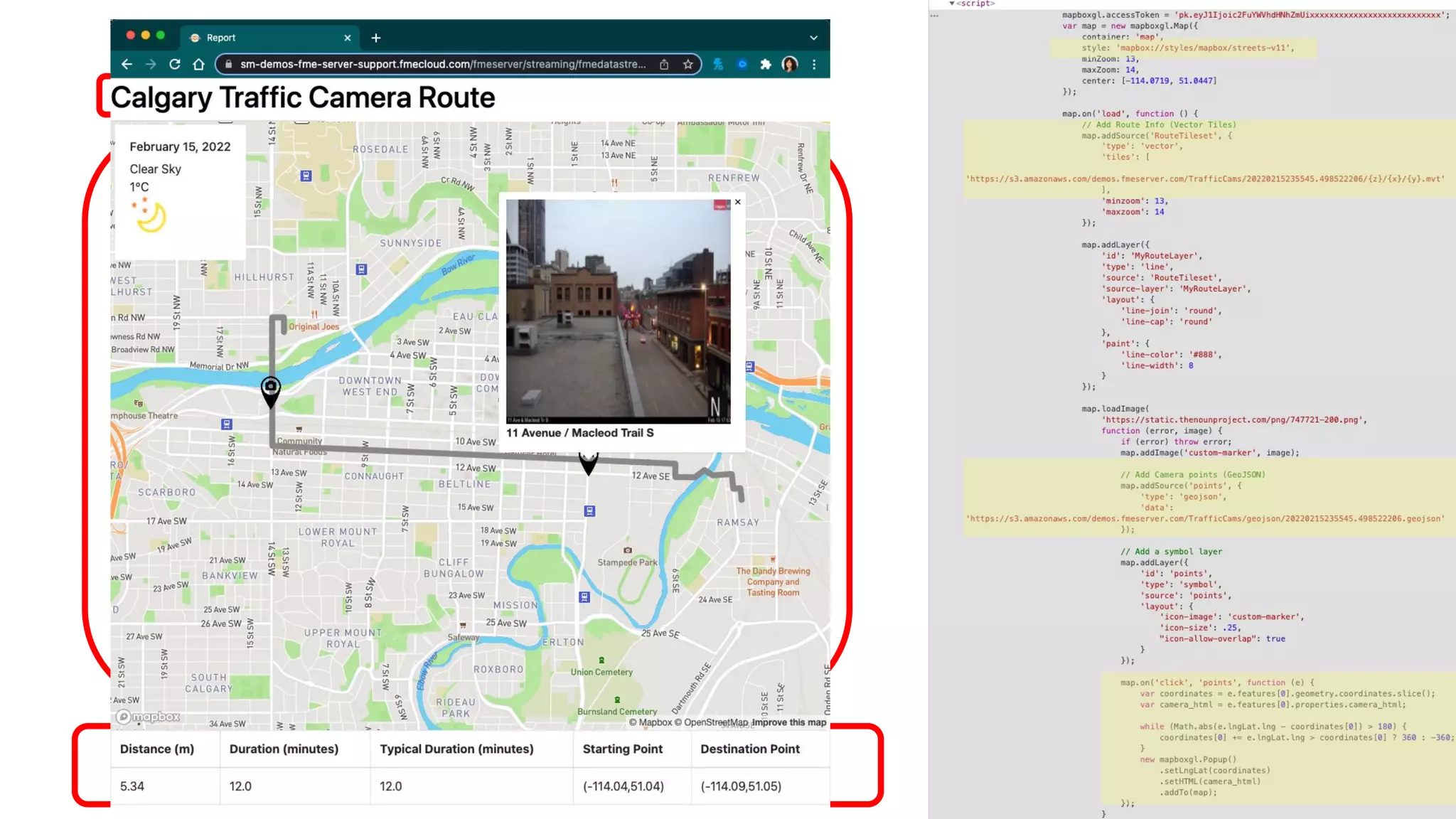
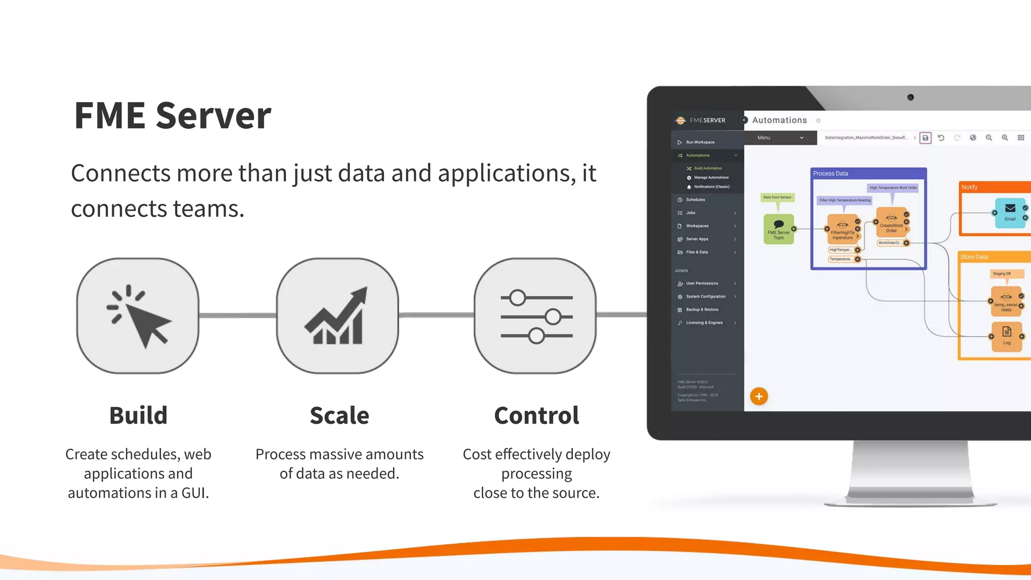
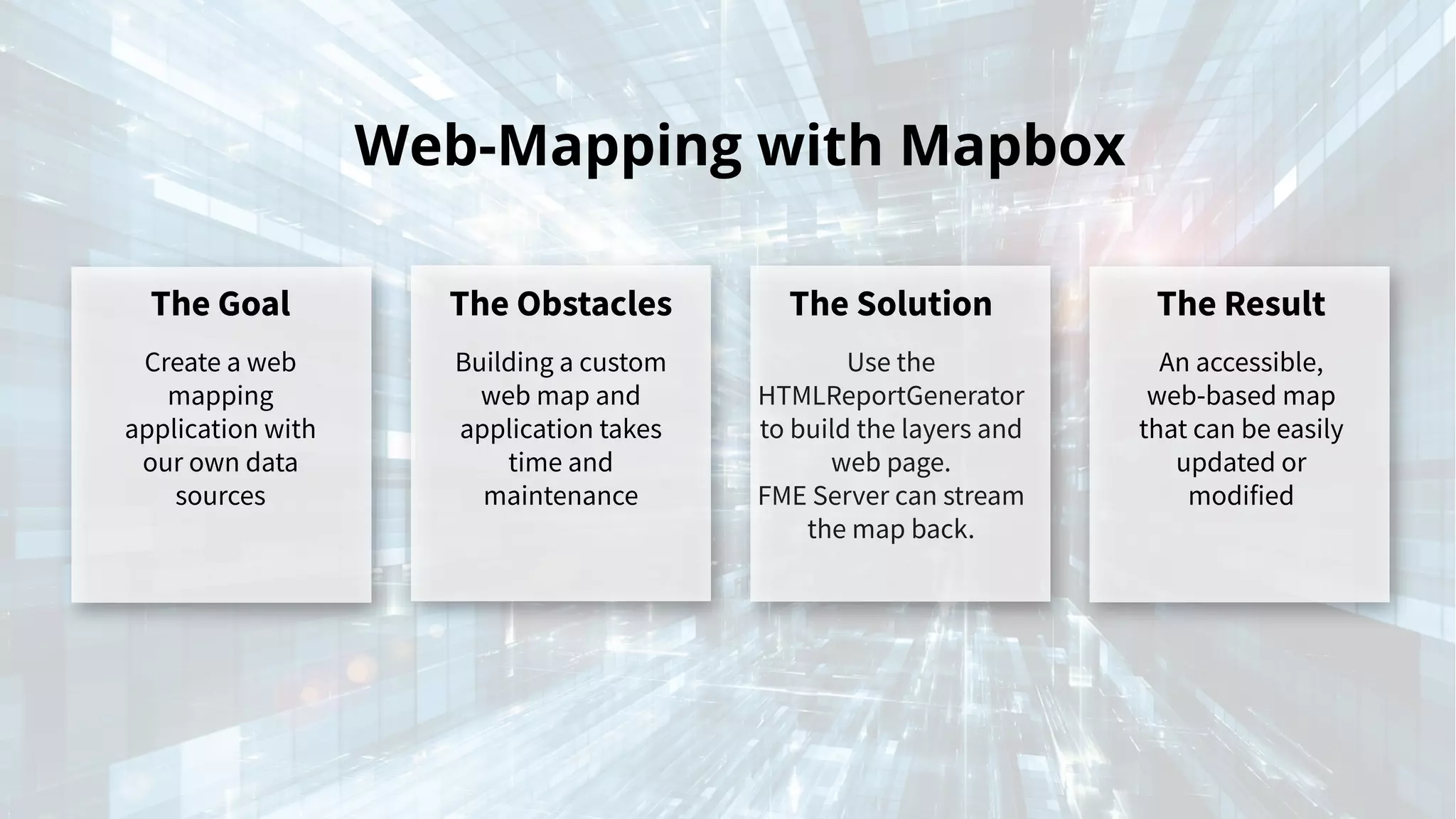
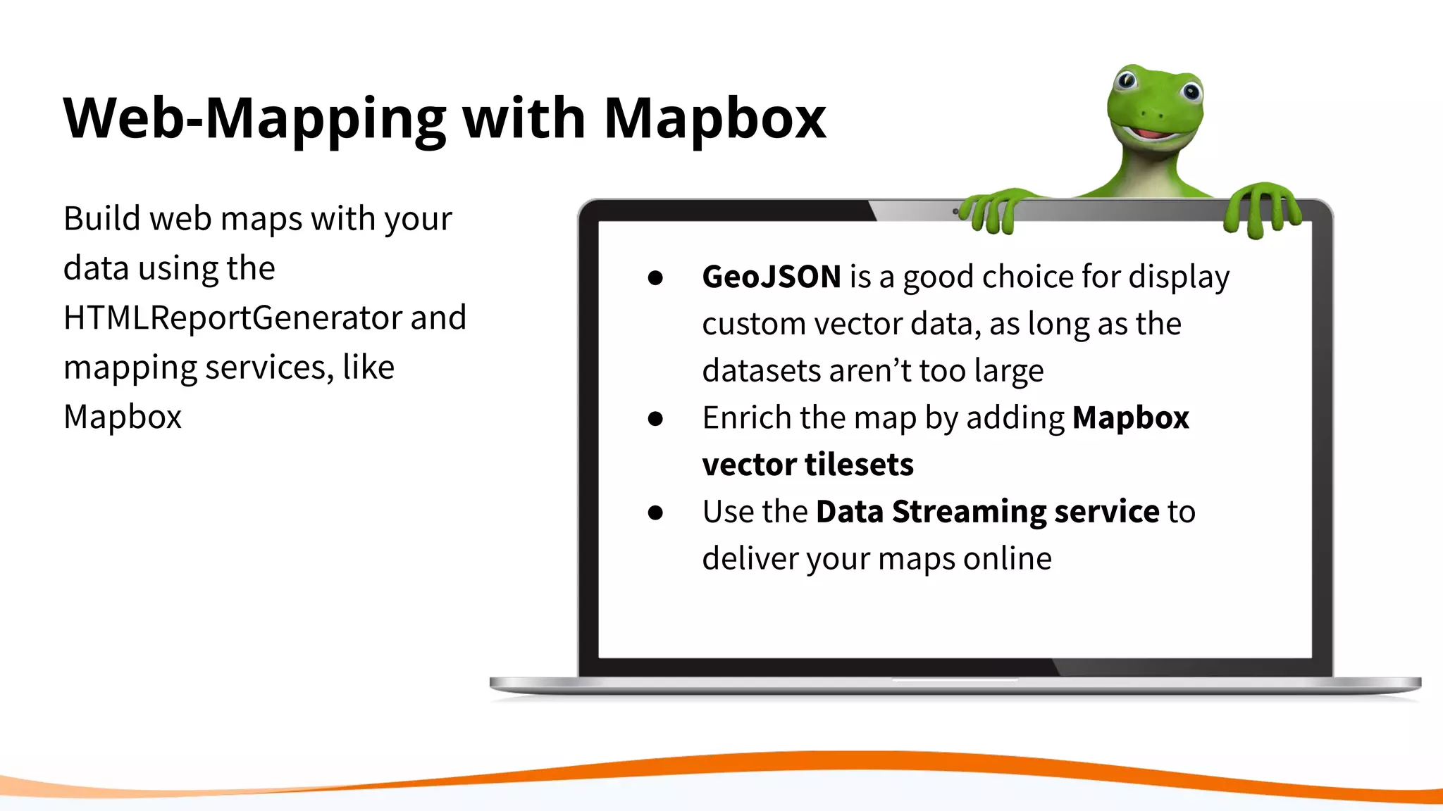
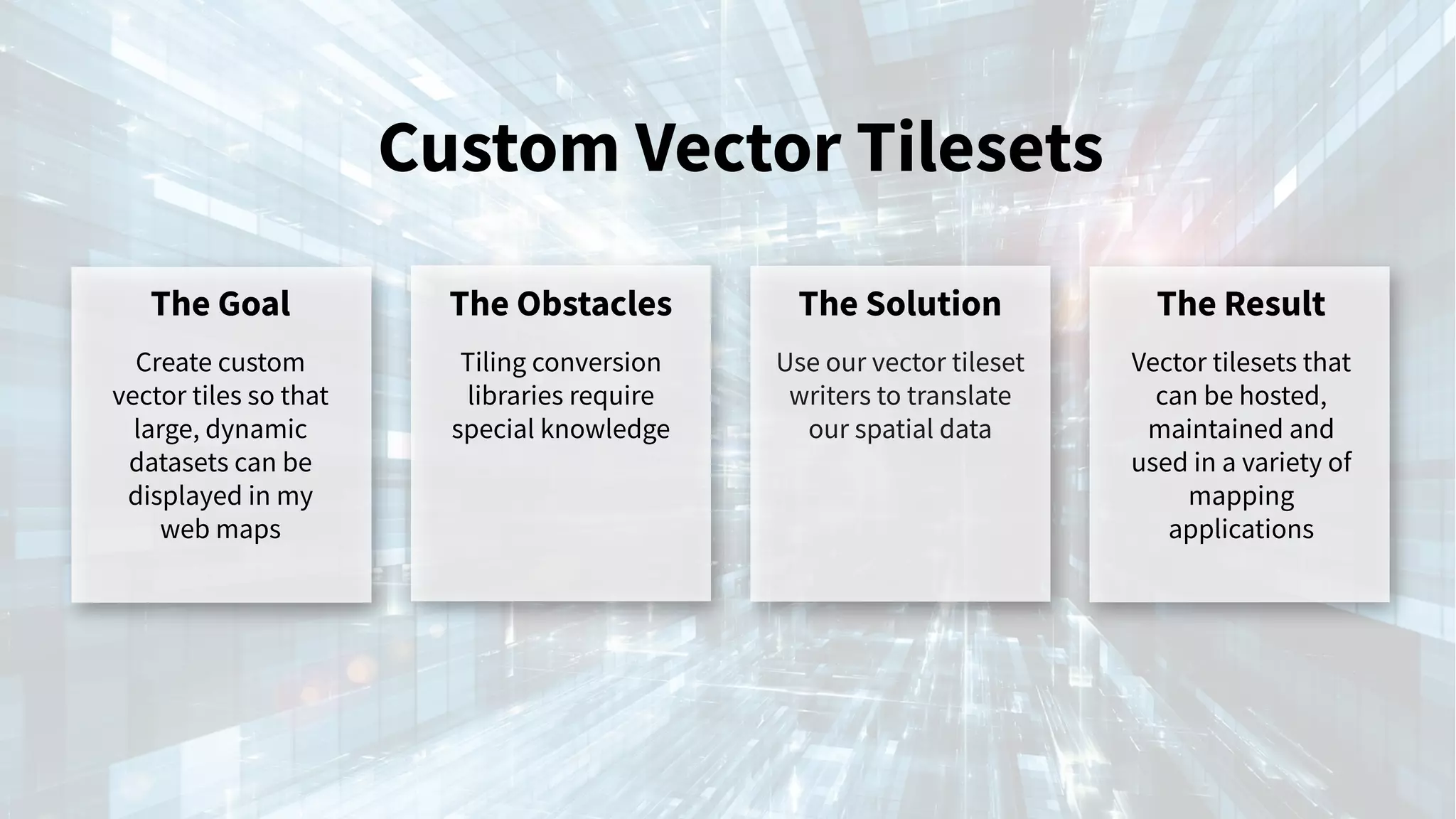
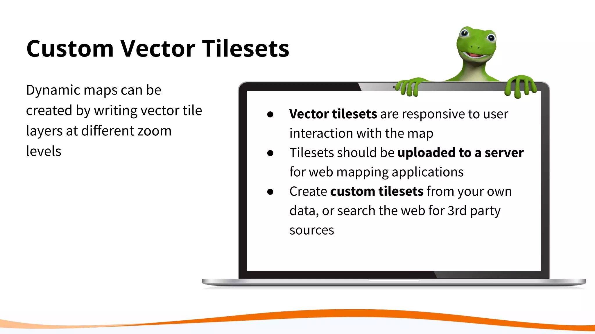

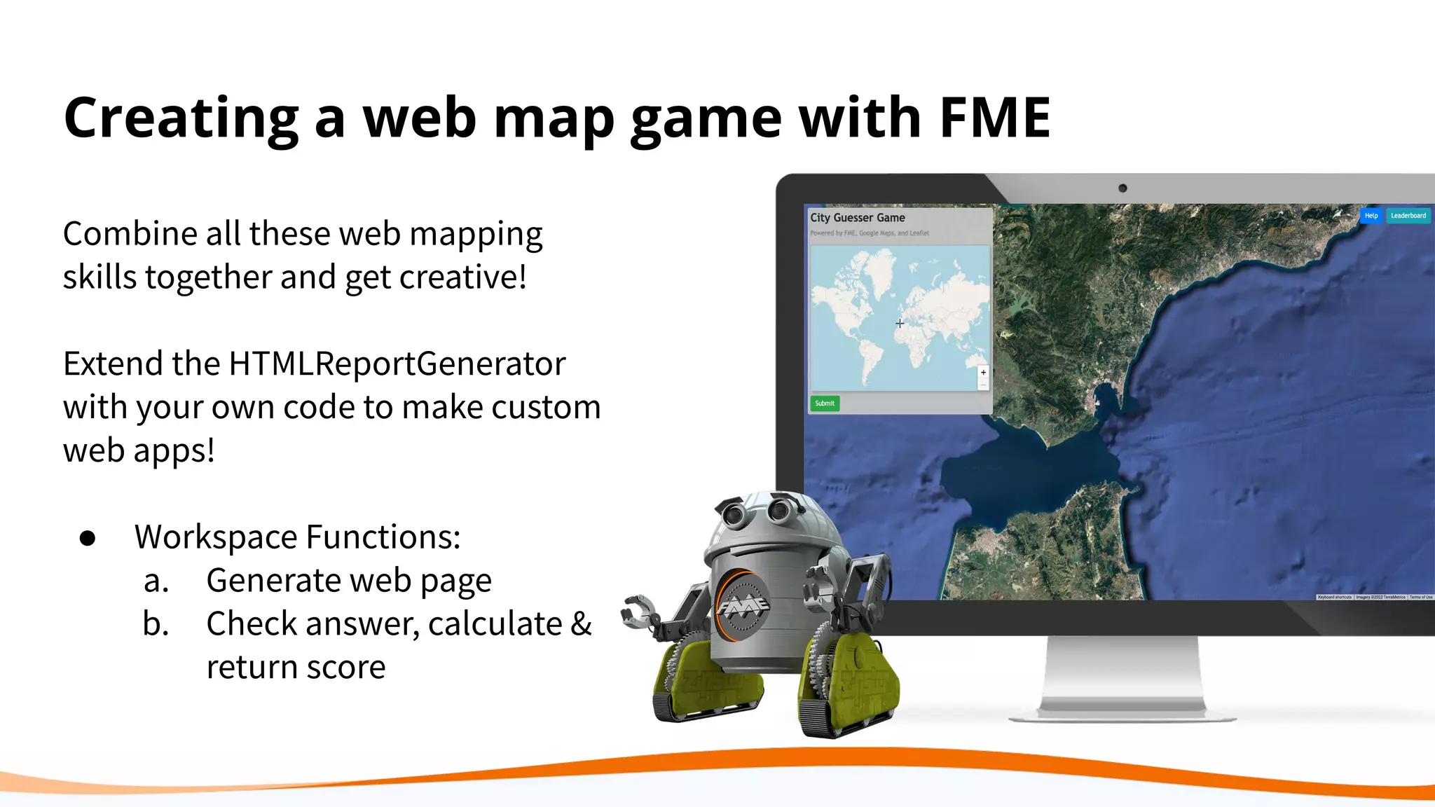
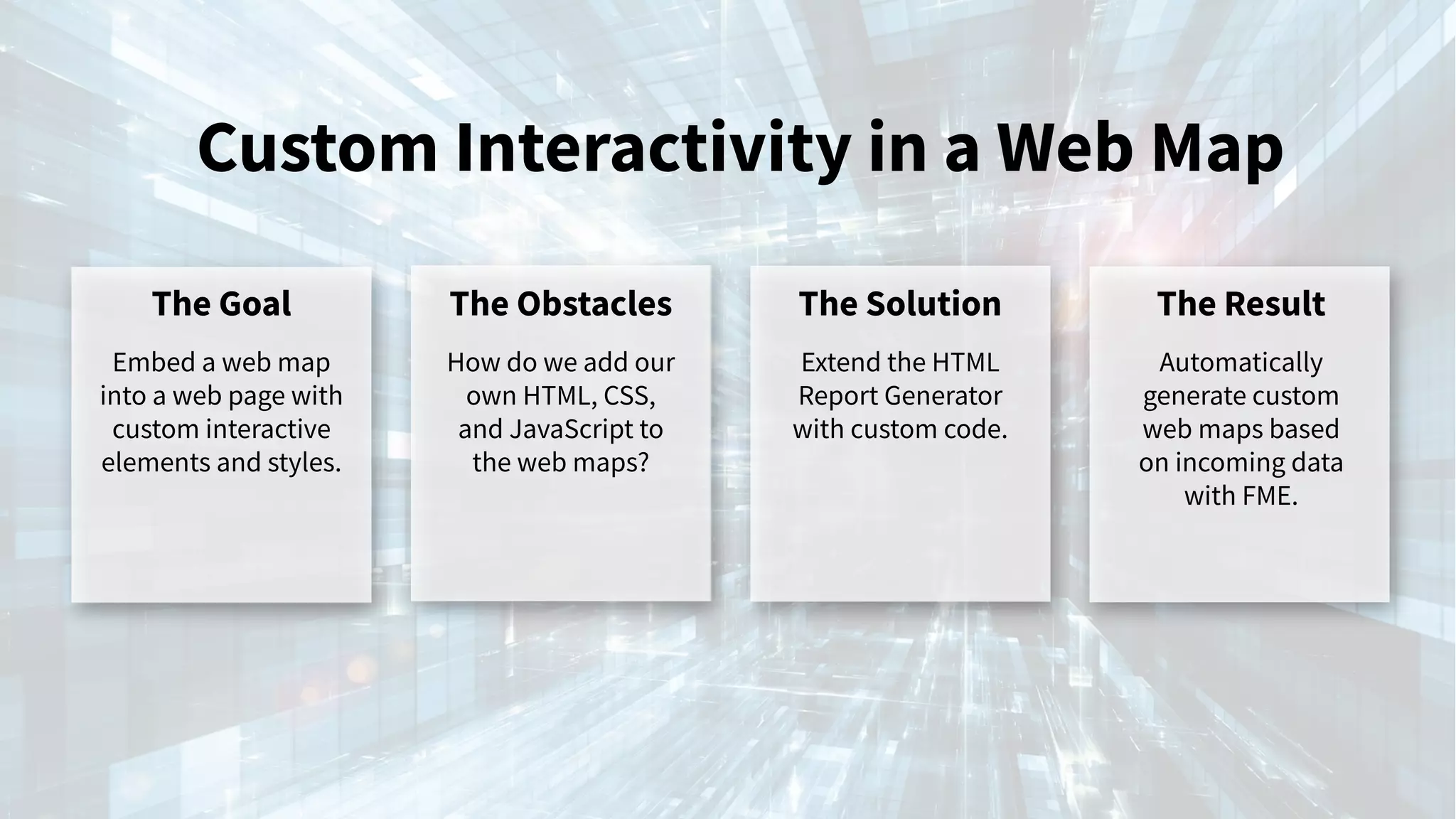


This document provides an overview of web mapping, explaining its process of using internet technologies to visualize and share geospatial data through interactive maps. It discusses various web mapping platforms, tools, and APIs, highlighting the role of FME in automating data workflows and integrating geographic data into applications like ArcGIS Online and Mapbox. The document offers insights into creating custom web applications and report generators for dynamic mapping solutions.


