Download to read offline


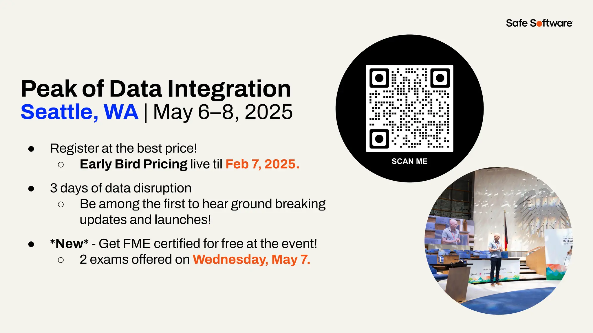

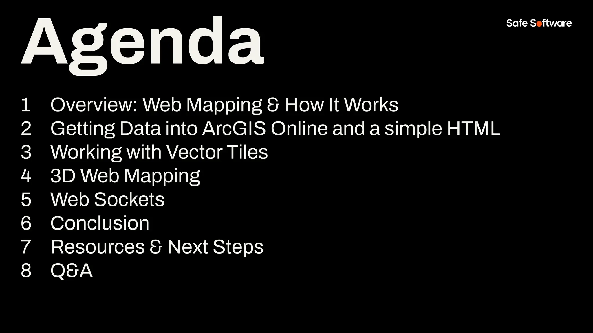

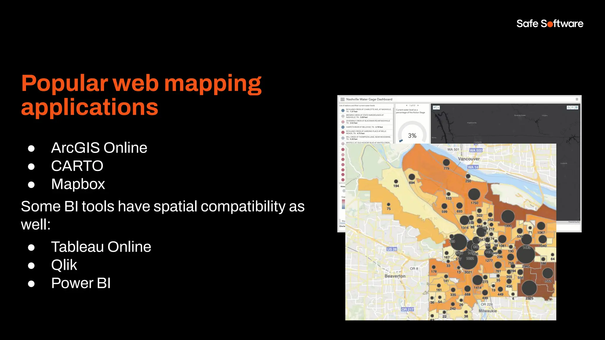
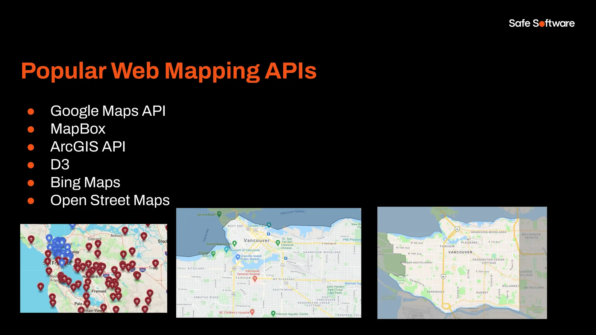
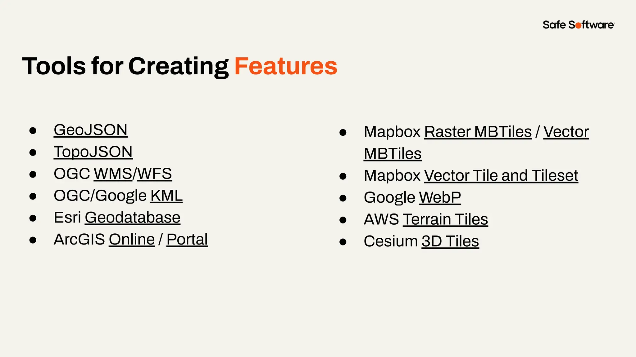
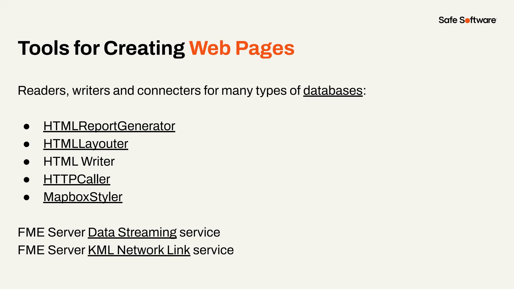

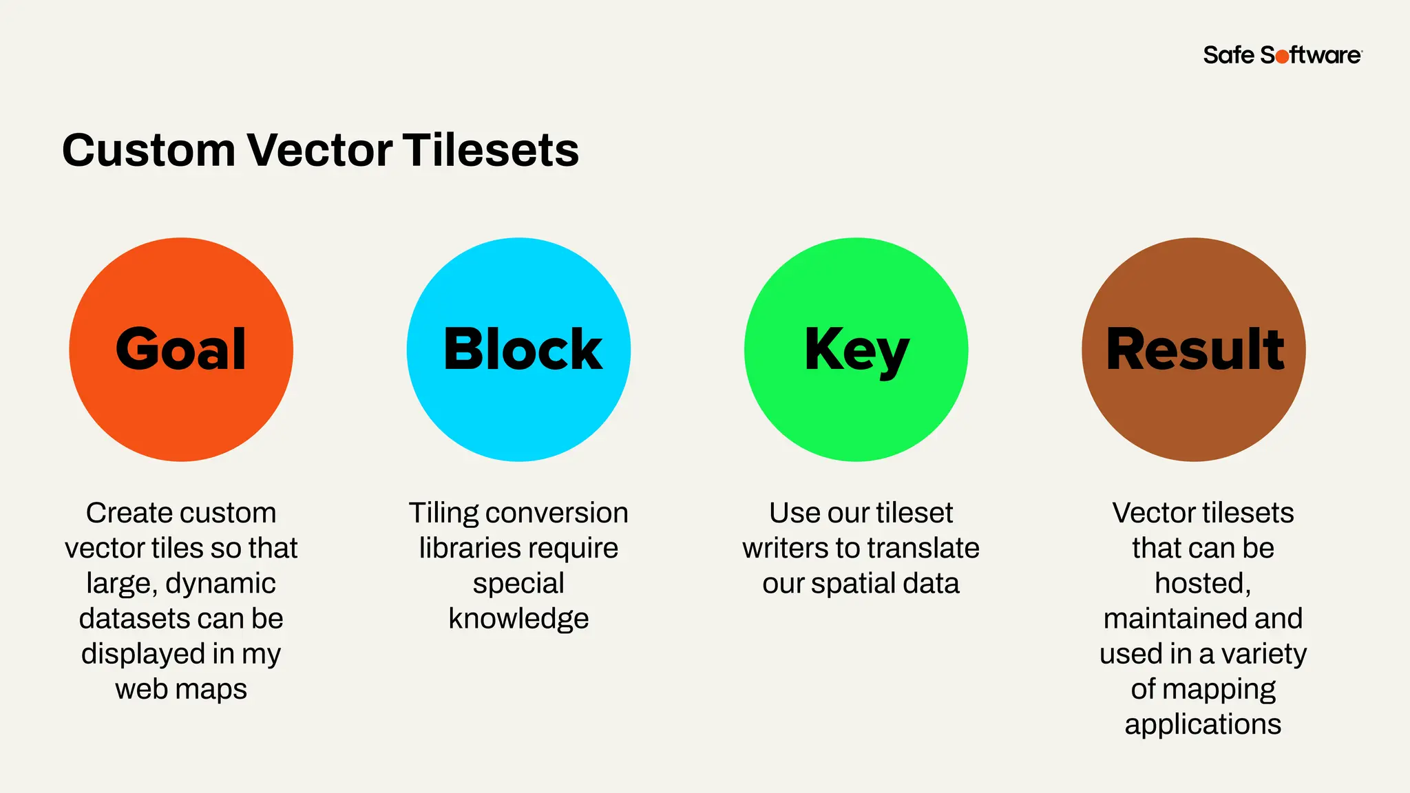

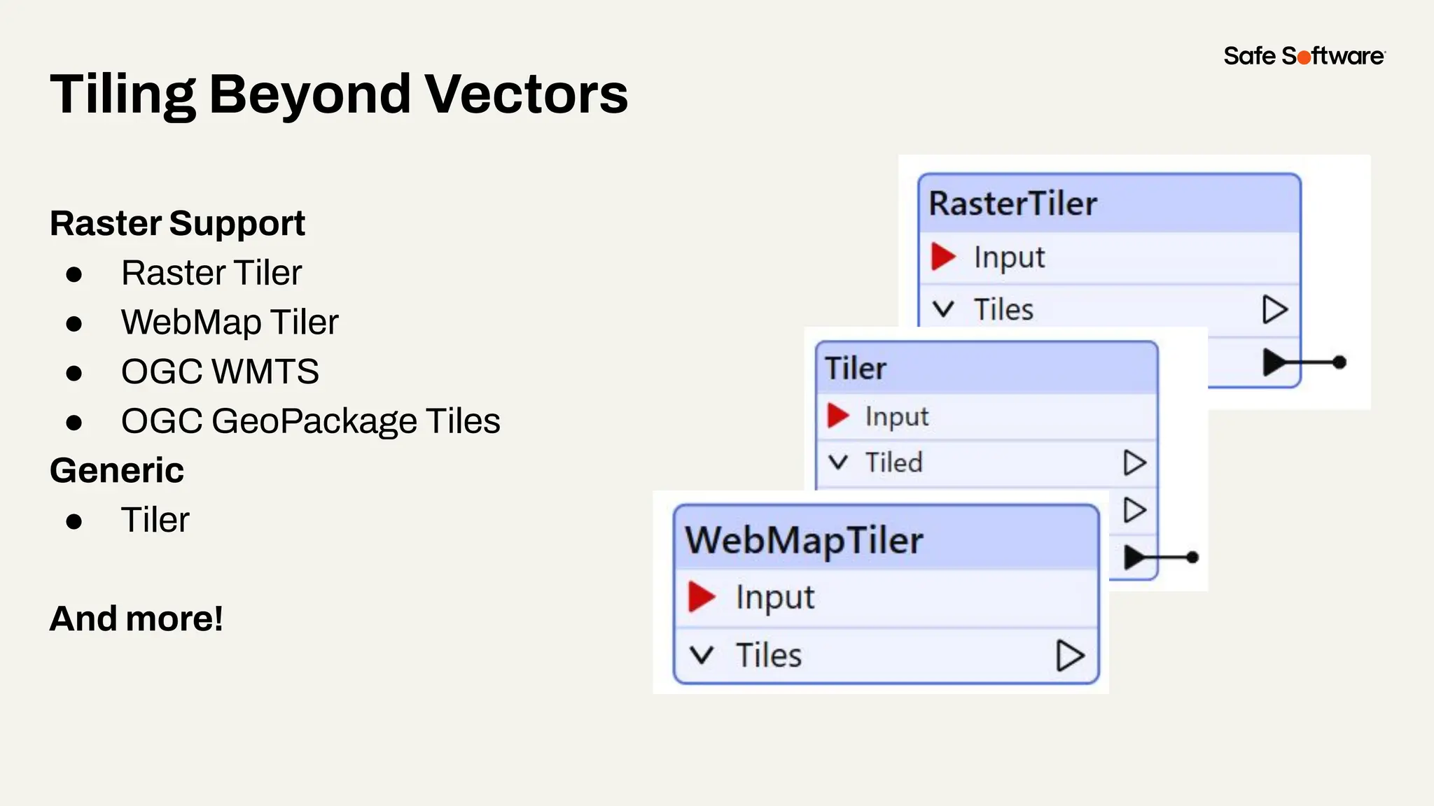
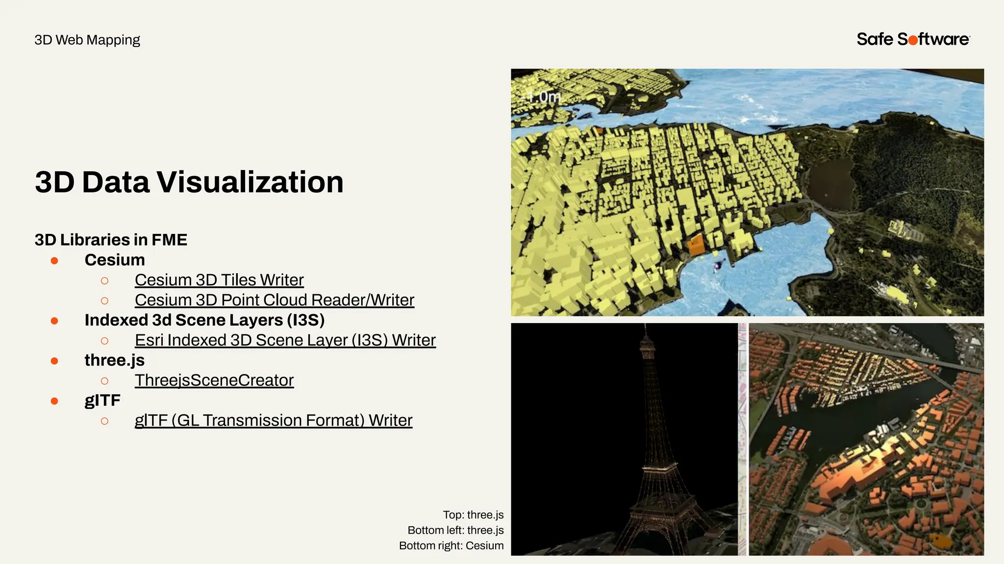
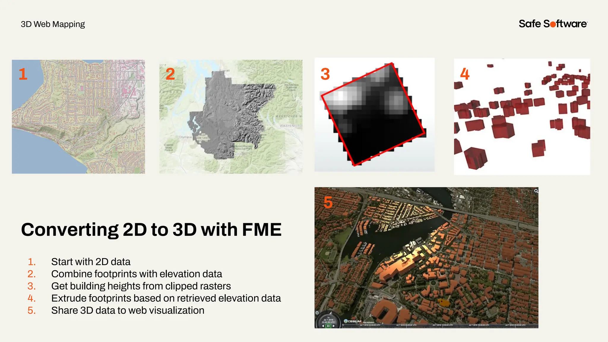
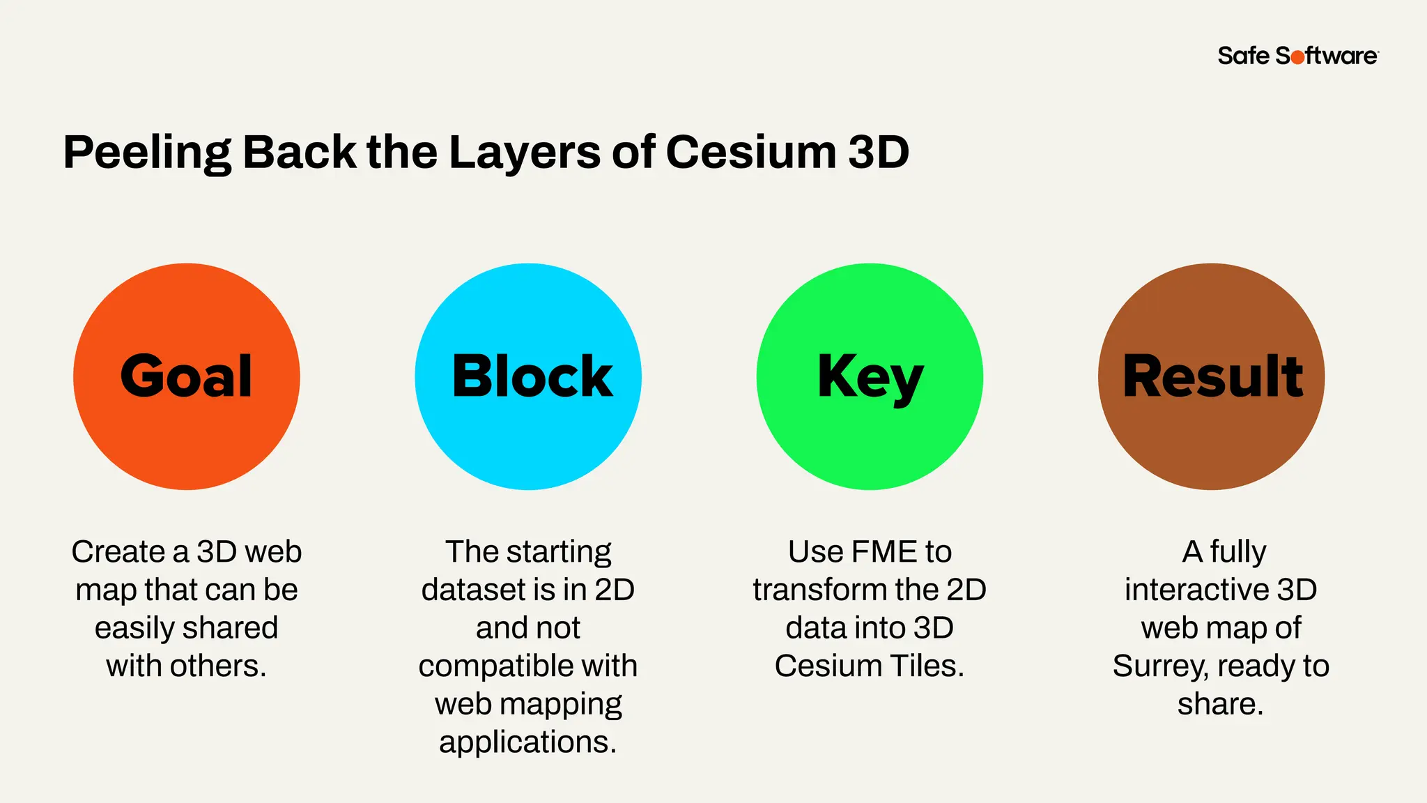

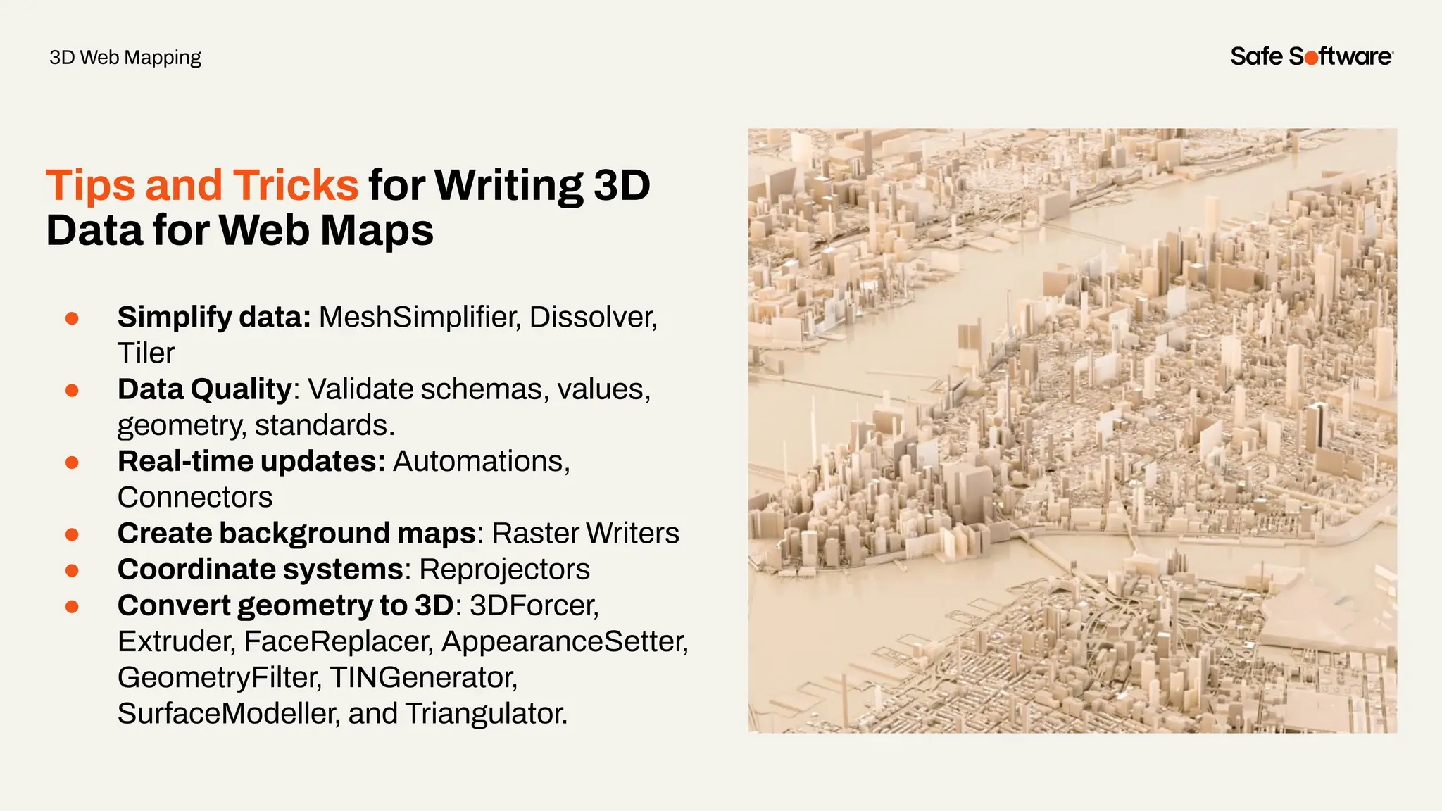


The document provides an overview of web mapping, highlighting how to create dynamic web maps using geospatial data, including tools and techniques for data integration and visualization in platforms like ArcGIS Online. It discusses various types of web mapping applications, vector tilesets, and the use of FME for automating data workflows. Additionally, it outlines the upcoming Peak of Data Integration event and resources for further learning.


